Hi, first time poster but long time lurker who gained a fair bit of intel from this forum before walking the SCT, so thought I'd share a quick summary of the trip for those in a similar situation. Happy to answer questions etc.
Party: 3 blokes, all around 40. All of us were experienced in 3-4 day hikes but this was the first time tackling a 7 day walk. Used the Chapman notes and this forum as a guide.
Fitness levels were variable, but we'd all done some training beforehand, although generally felt underprepared! My pack training pretty exclusively consisted of over-weighting my pack and doing repeats up Knocklofty at lunchtimes and I survived no problems! However I'd walked in from both ends for a day in the past so knew what we were in store for to some degree.
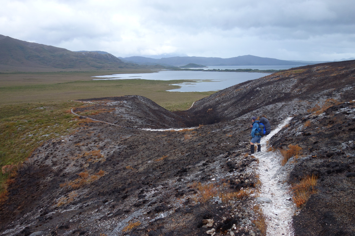
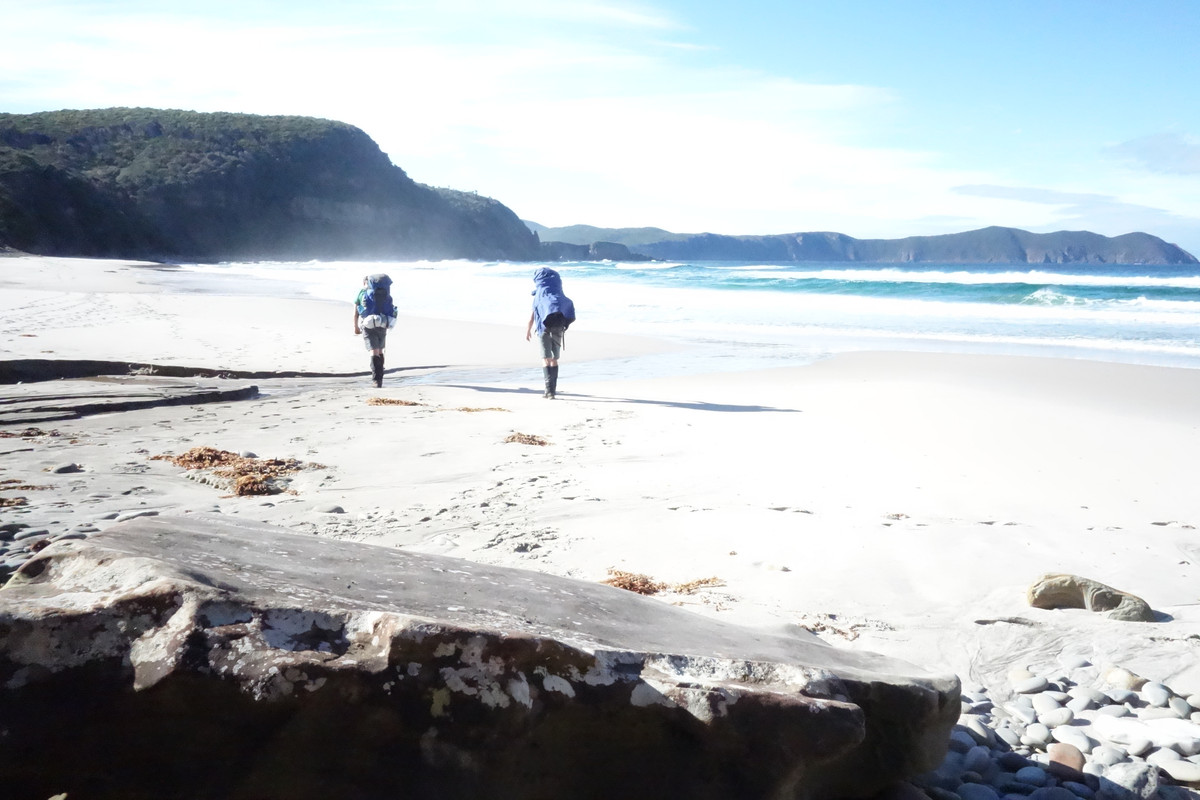
General Walk Impressions: Found we were on par with or slightly faster than the Chapman timings for each track section. The Point Eric to Louisa River, and the Ironbound descent were the toughest of the sections, the first because of the length and conditions (very wet and slippery duck boards, and the Faraway Creek crossing was pretty marginal) and the second due to the gradient, and the constant combination of the Can Can, and the Limbo dance moves required with a heavy pack on rocks, roots, oversize steps.
Track Conditions: Not as wet as suspected. There's obviously been significant upgrades undertaken in the last couple of years, with long new sections of the plastic composite boardwalks in several areas. South Cape Range is the wettest section but aside from that never really found anything significantly deeper than ankle height bogs on most of the walk. Climbs and descents were steeper than expected, there's certainly not much switchbacking on the tracks!
Highlight: A glorious Little Deadmans to Osmiridium Beach day with completely clear views of PB, and right up the valley to Fed Peak. I definitely recommend pushing past Prion to camp at Osmiridium, and the new boardwalk past Little Deadmans makes this very straightforward.
Recommendations: A lightweight packable tarp is a must to make cooking and storage life easier. Beware of the rats at South Cape Rivulet camp, most parties had packs and tents chewed here. I'd treated myself before the walk to a new Sea to Summit ultralight insulated sleeping mat which was light years ahead of my old school thermarest.
South Coast Track 07/04/18 - 13/04/18
Forum rules
Posting large/multiple images in this forum is OK. Please start topic titles with the name of the location or track.
For topics focussed on photos rather than the trip, please consider posting in the 'Gallery' forum instead.
This forum is for posting information about trips you have done, not for requesting information about a track or area.
4 posts
• Page 1 of 1
South Coast Track 07/04/18 - 13/04/18
![]() by rangersac » Mon 16 Apr, 2018 9:28 am
by rangersac » Mon 16 Apr, 2018 9:28 am
- rangersac
- Athrotaxis cupressoides

- Posts: 100
- Joined: Mon 16 Apr, 2018 9:01 am
- Region: Tasmania
Re: South Coast Track 07/04/18 - 13/04/18
![]() by rangersac » Tue 01 May, 2018 10:53 am
by rangersac » Tue 01 May, 2018 10:53 am
Finally got around to sorting out some pics
Heading for Cox's
Alpine Flora
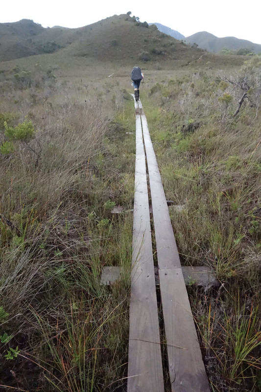
Duck boards heading out of Louisa River
Prion
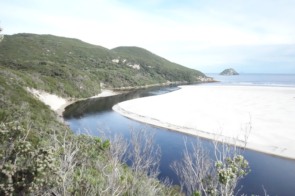
New River Outlet
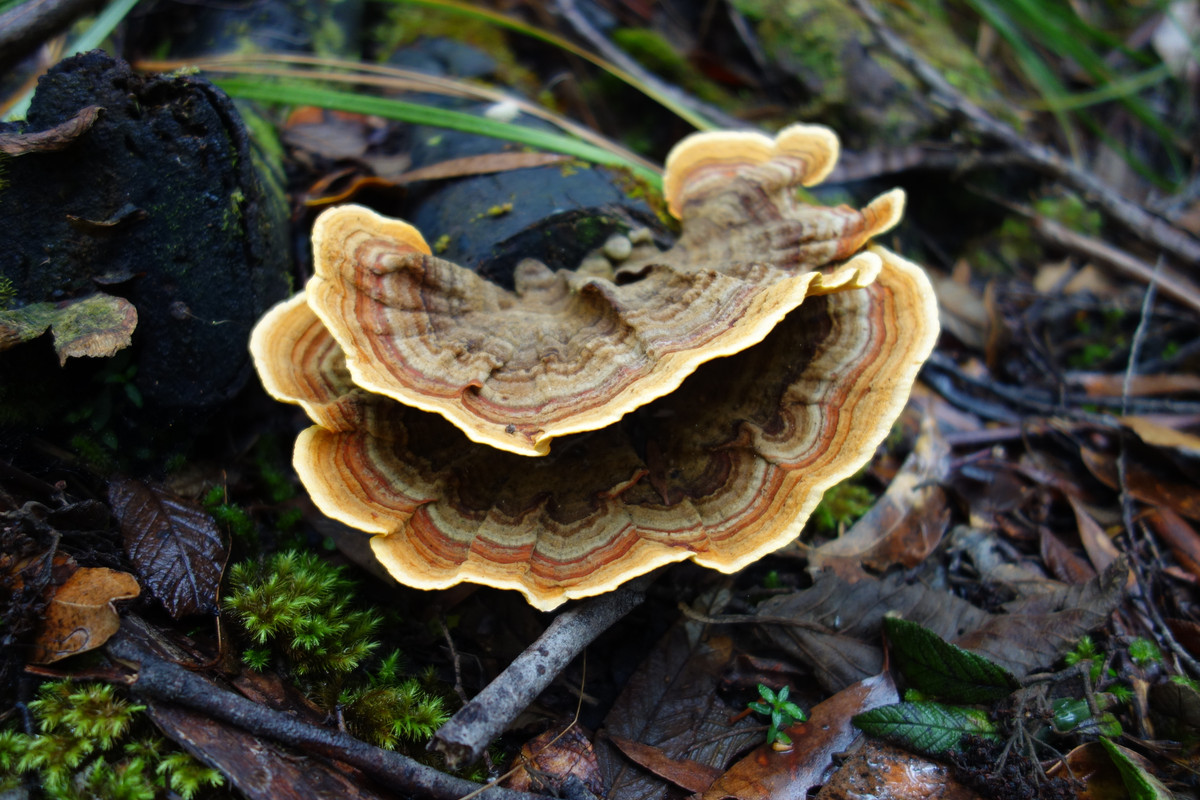
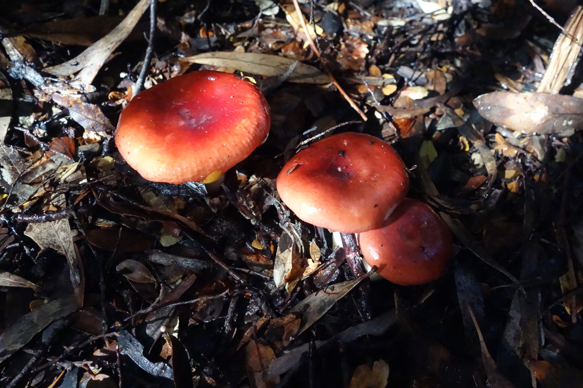
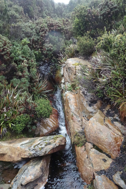
Fungi
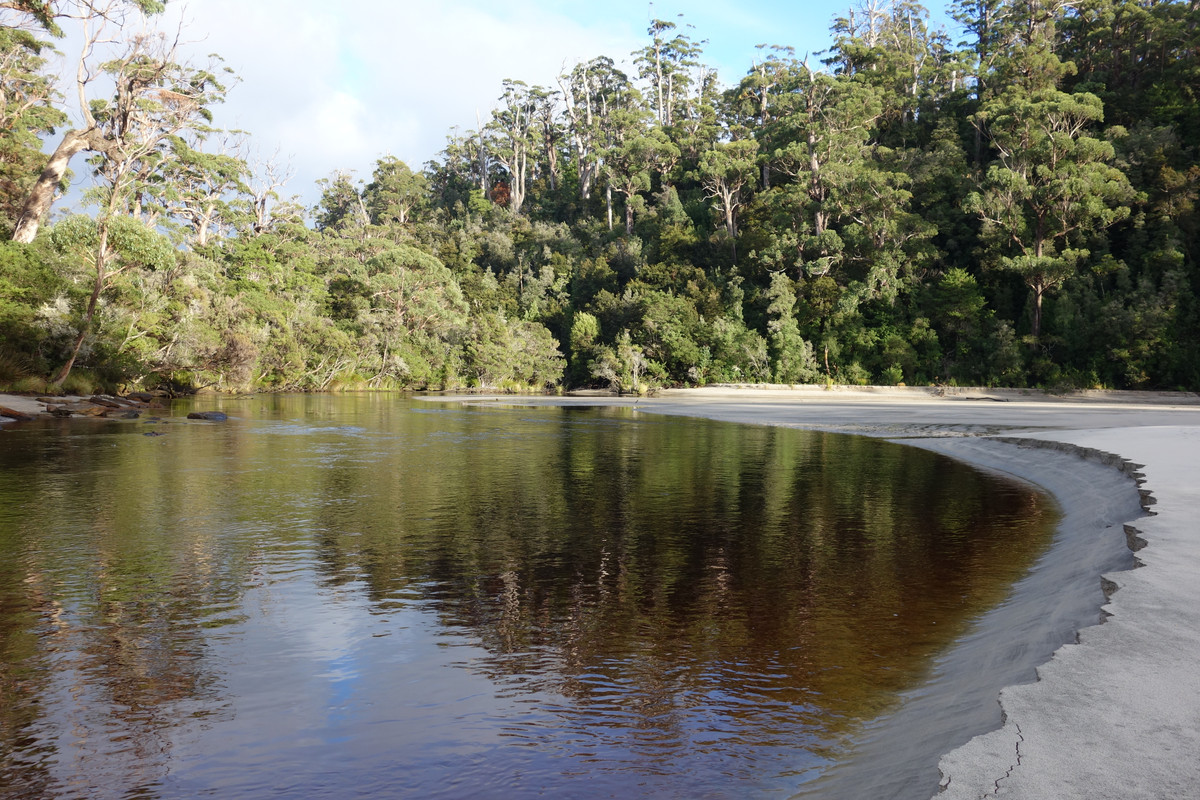
South Cape Rivulet
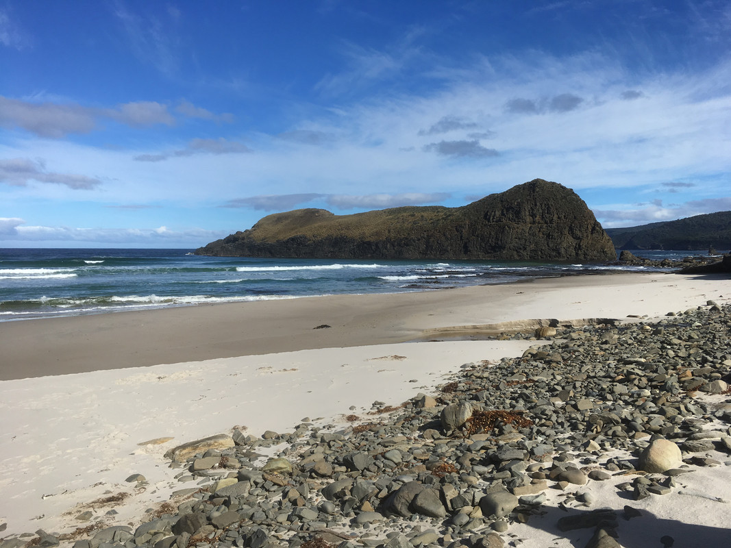
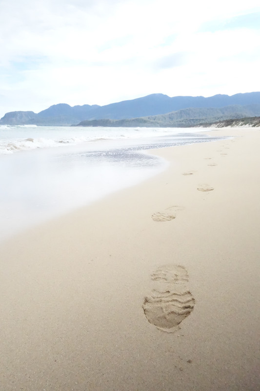
South Cape Bay
Heading for Cox's
Alpine Flora
Duck boards heading out of Louisa River
Prion
New River Outlet
Fungi
South Cape Rivulet
South Cape Bay
- rangersac
- Athrotaxis cupressoides
- Posts: 100
- Joined: Mon 16 Apr, 2018 9:01 am
- Region: Tasmania
Re: South Coast Track 07/04/18 - 13/04/18
![]() by potato » Tue 01 May, 2018 12:05 pm
by potato » Tue 01 May, 2018 12:05 pm
Nice report - thank you. Makes me want do the walk again right now.
Did you see many people out there?
Did you see many people out there?
- potato
- Athrotaxis cupressoides
- Posts: 330
- Joined: Thu 28 Jan, 2016 1:06 pm
- Region: Tasmania
- Gender: Male
Re: South Coast Track 07/04/18 - 13/04/18
![]() by rangersac » Tue 01 May, 2018 1:04 pm
by rangersac » Tue 01 May, 2018 1:04 pm
potato wrote:Nice report - thank you. Makes me want do the walk again right now.
Did you see many people out there?
Yep, there were around four groups we overlapped with so on each night there were at least 12 people in camp. We also intersected occasionally with a couple of other parties who'd either walked in from the Cockle Creek end or were using alternative stopovers on some of the nights. You could easily be pretty solitary though by using alternative stopping points. It's really only the Louisa River campground that everyone seems to use, so as to be as close as possible to the Ironbounds for the crossing. If I go again I'd aim to use Deadmans rather than little Deadmans, Surprise Bay and Lion Rock camps as they were really lovely sites that we didn't spend enough time at.
- rangersac
- Athrotaxis cupressoides
- Posts: 100
- Joined: Mon 16 Apr, 2018 9:01 am
- Region: Tasmania
4 posts
• Page 1 of 1
Return to TAS Trip Reports & Track Notes
Who is online
Users browsing this forum: No registered users and 2 guests