Thanks guys for the interest in this thread.
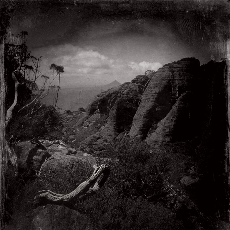
PeterJ, adding the link to your album has enhanced this thread marvellously. I've also done the walk, but I didn't summit Corang. It is great to see your shots from the Western route. I don't think that I've seen better images of the Budawangs,
that take a person there. Seeing your images has triggered a few old memories too. Cheers Mate.
Scavenger, I hope you do "survive that long." It certainly is a walk and gully scramble and then a climb not to be missed.
eggs, You are most welcome. There are several routes to approach Castle Saddle before the final climb, could I suggest walkers do them all? These are the routes that I've done.
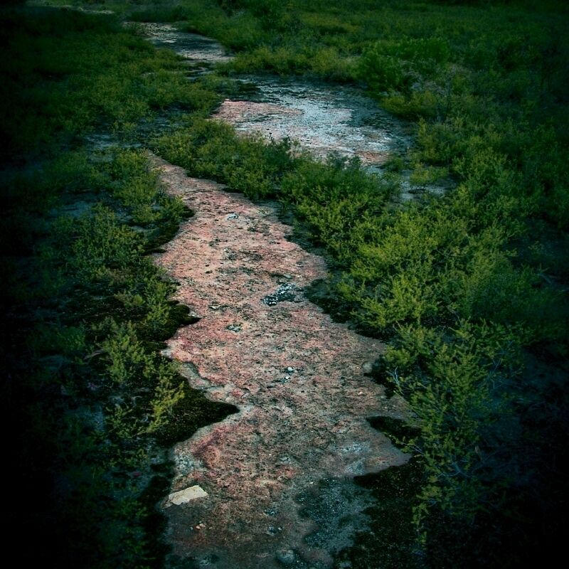
From the Yadboro River, the climb, basically, is mostly up with a bit of horizontal track, then up again and up again and then down, down, horizontal, and down, back to Yadboro ... and is only a day trip. The climb is about 800 metres from the Yadboro campsite.
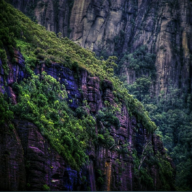
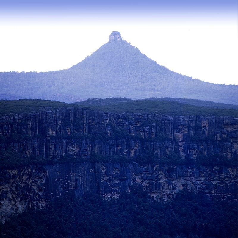
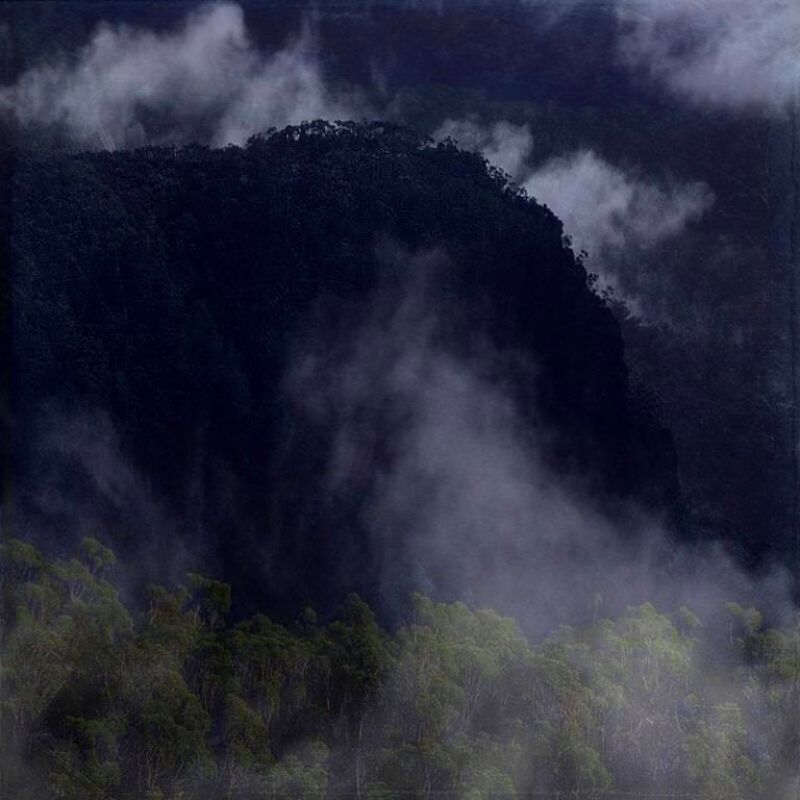
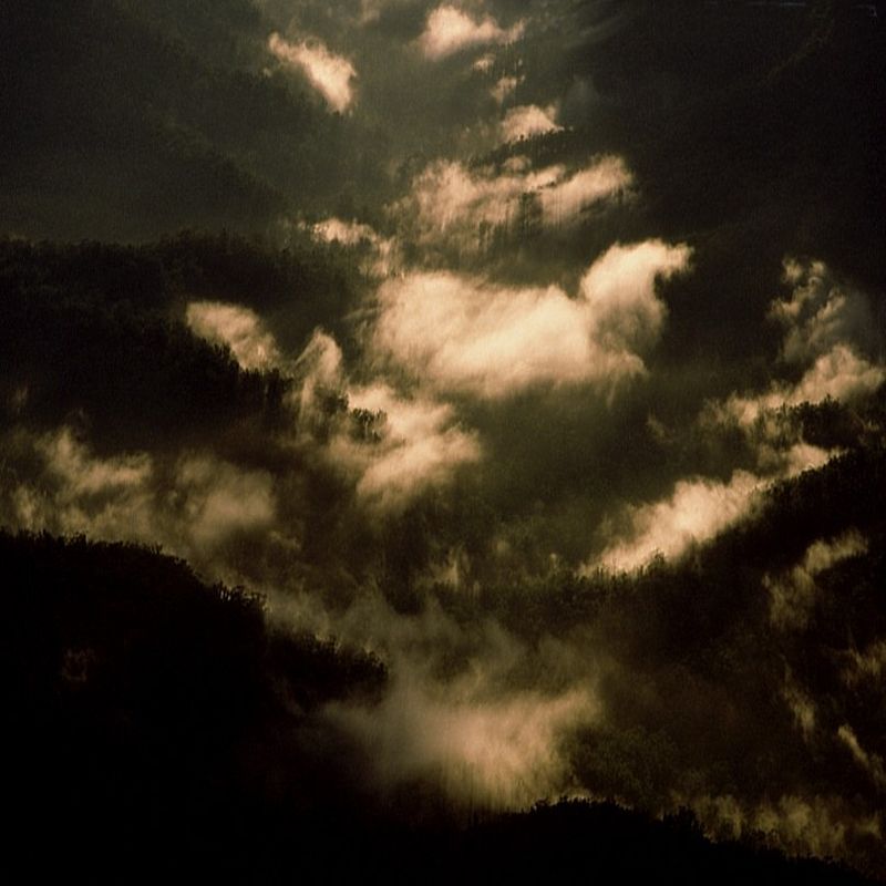
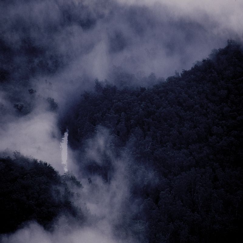
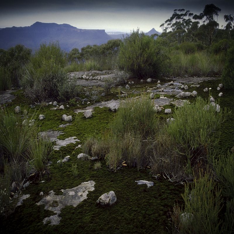
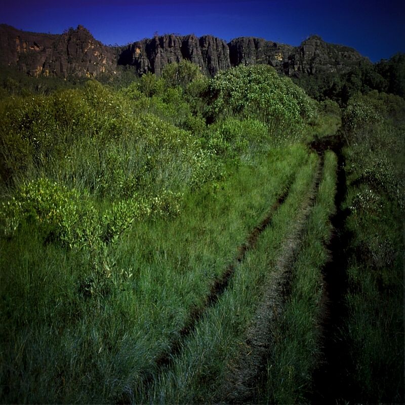
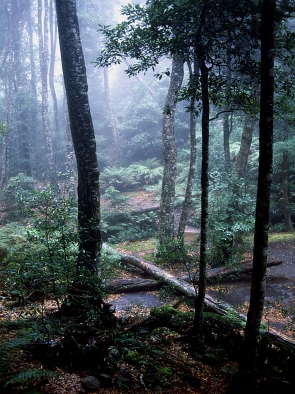
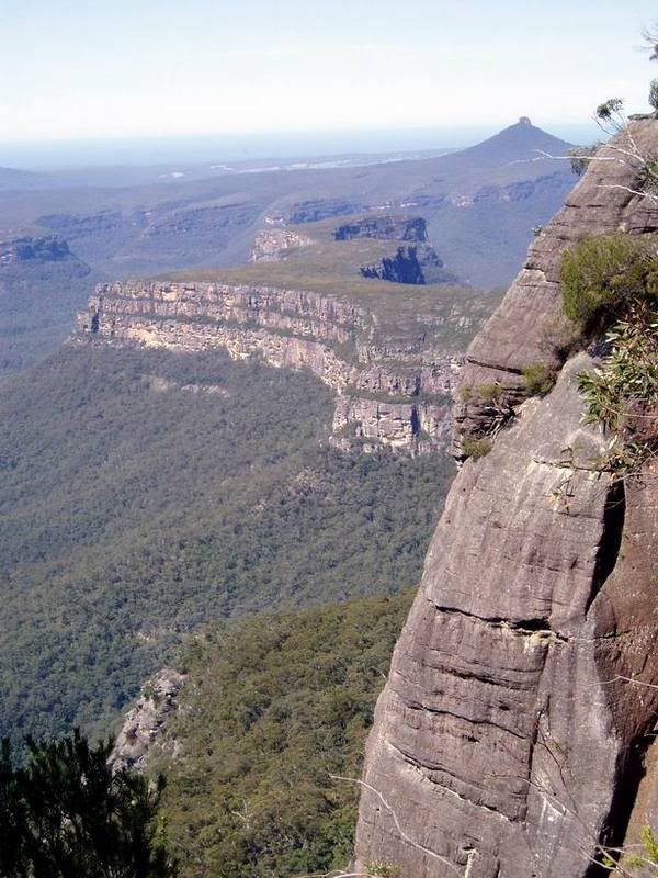
From Newhaven Gap in the North or from Wog Wog to the West it can be a 3-4 or 5 day walk, with much scope for side trips. Both walks are relatively flat walking with excellent views of the Great Escarpment.
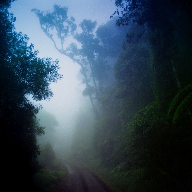
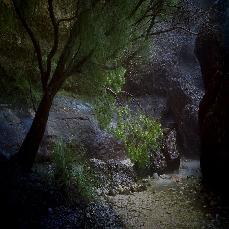
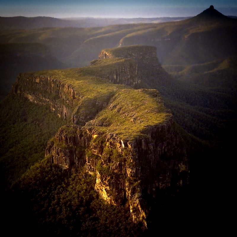
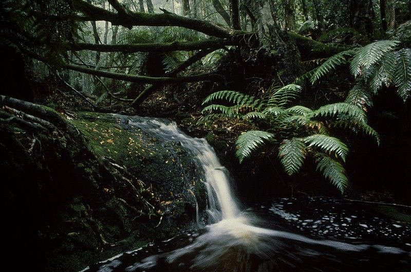
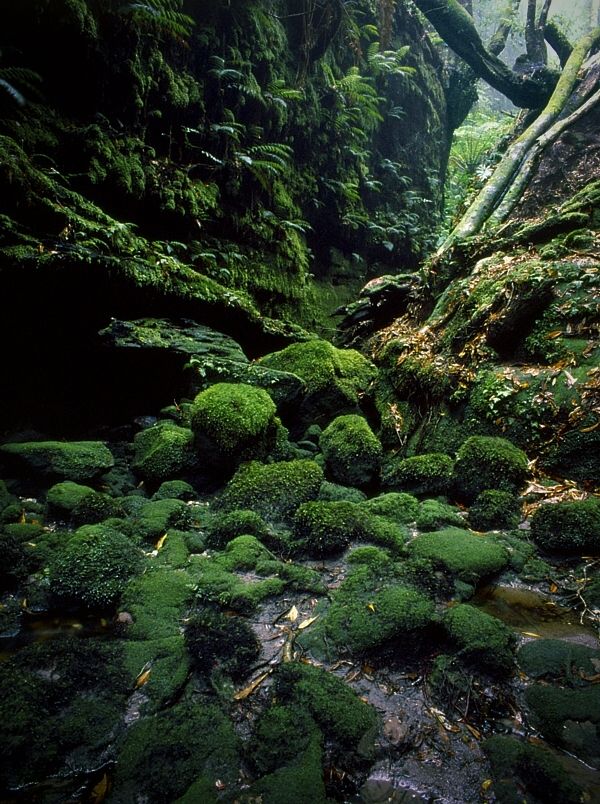
From Yadboro River starting on the Byangee Track up to Castle Gap, then up the point of Byangee and climbing inside Byangee to reach the top. A section of the climb is inside the mountain. Then traverse Byabgee Walls, down Pickering Point to the Clyde River, then upstream to Holland's Creek, then either up to Darri Pass or up the Northern Head of Shrouded Gods lower tier (preferred), then over Shrouded Gods Mountain, then on to Castle Saddle, summiting the Castle and then back to Yadboro on the Castle Walking Track. This will take 2 hard days of flat river walking and much escarpment climbing. Carry the lightest pack posible ... many leeches will accompany walkers on this journey.
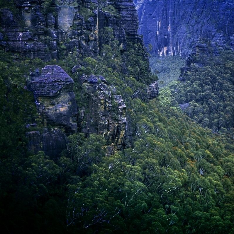
From the Endrick River, past Round Mountain and Foster's Mountain, along Styles Creek, then between Owen and Cole to Castle Saddle before the ascent, then returning past Seven Gods, past Mount Tarn and Sturgiss (camping in Hidden Valley and climbing Mount Sturgiss) then up onto Quilty's Mountain to see the Boro Ground, NW to Binarri Pass (throwing packs and jumping several times between the stacks) then back to the Endrick River turnoff, will take 3-4 hard days on relatively flat ground, with a few short climbs and descents and side trips (this trip is much recommended).
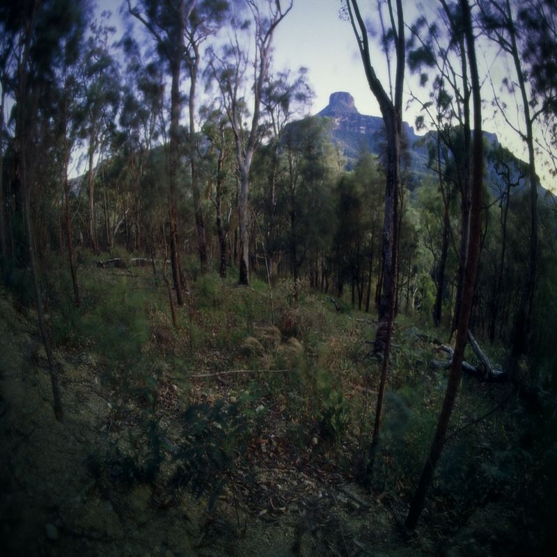
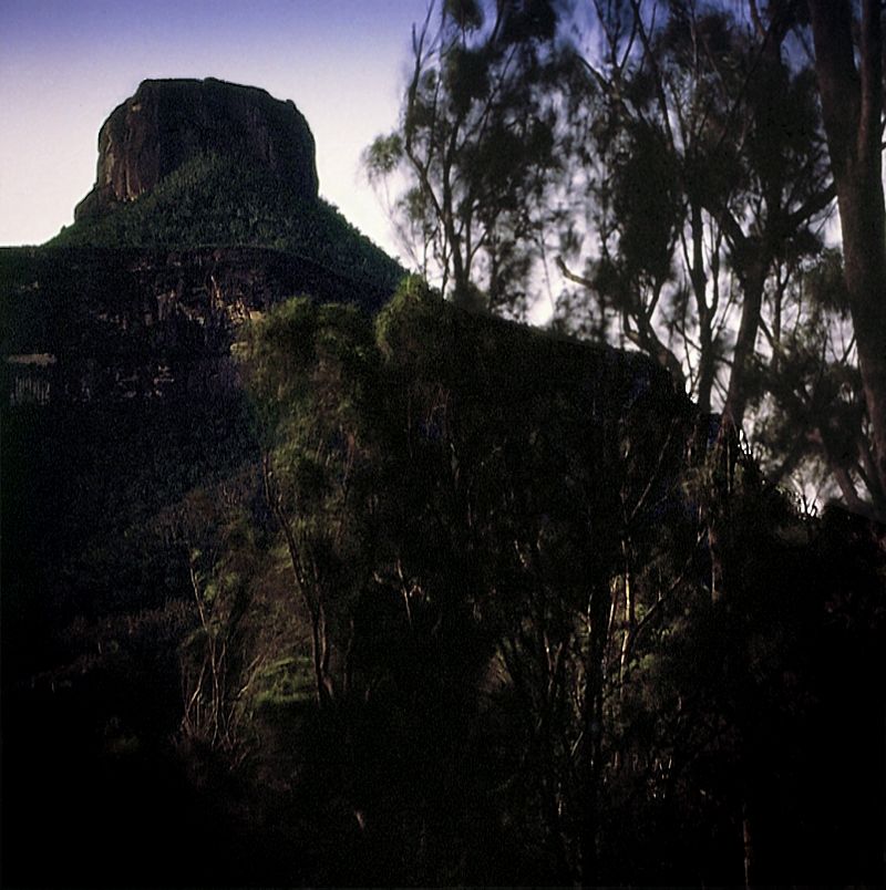
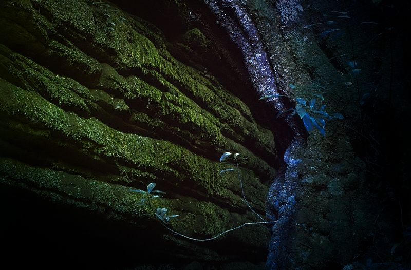
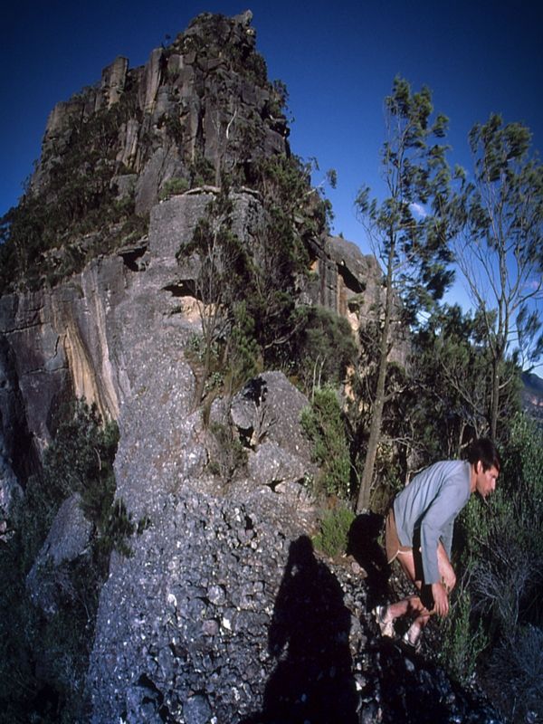
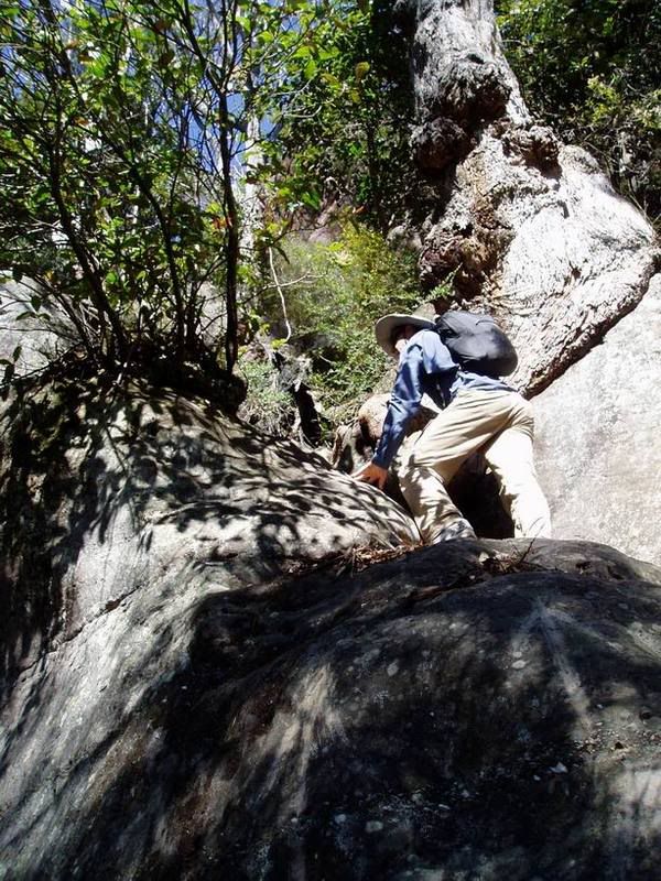
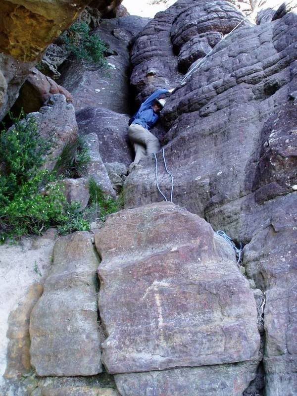
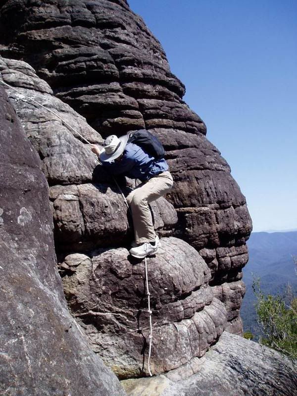
The cap of The Castle is mostly a 200m gully scramble which takes about 40 minutes. There are a few caves on up top around the eastern cliffs. A 6 metre length of rope is good for hauling packs and for people not used to climbing. The last several metres of the climb at the summit is the most dangerous, but not too difficult. Walkers not used to climbing, on exposed sections could prefer the use of a rope. The Castle can be dangerous on the edges of the cliffs because the sandstone can be thinly silicon skinned and can crack like an egg shell . One of my friends died on The Castle and a friend of one of my friends father's his walking buddy, fell and died because of the fragile and brittle cliff edges. A walker from the Canberra Bushwalkers Club suffered severe head injuries when she fell on the final few metres of the climb, during the descent. My attitude to this is, we go into the wilderness to be brave (but not silly).
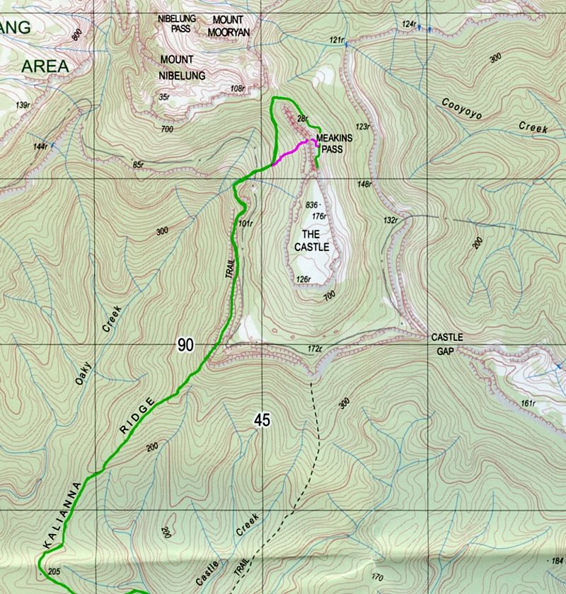
Robatman, these are the two quickest routes from Yadboro. The magenta line is the track that cuts through the buttress of the Castle at 'the tunnel' which is good and exciting for day walkers but not for those with large packs unless you are happy to drag the pack along the ground in places ... the Tunnel/Meakin's Pass is a tight squeeze at times. Where the green tracks stop on the topo, is approximately the start of the climb.
When it comes to the climb follow the signs of use-wear on the rocks, that is my best tip. The moment the walking track below the eastern face thins out and goes over a couple of car size boulders and all of a sudden becomes steep, you have gone 20-30 metres too far. Back-track and look for a steepish chute with signs on the rocks and erosion on and around tree roots, signs made by scrambling. Once you are past that chute, just follow the obvious signs on the ground and on the rocks. There will be a section where the track stops going upwards and heads east again around a couple of boulders ... keep looking for the signs on the rocks from foot traffic. The climb doesn't keep going up at constant rate. There are several times when you will have to hunt for the track. The leaf litter in places can give the wrong impression that there is no track, that's why I say, look for signs of use-wear. Where the rocks are the route their surfaces are lighter in colour. There will be times when the track is well defined and times when the track doesn't appear to exist. Winds and rain can wash debris over the track.
I've climbed The Castle several times and know how difficult the track was to find when I first started. Over the years people have cut shallow hand holds and scratched upward pointing arrows on rocks ... use-wear and age has worn these signs (mostly) away. At the final climb, there was once shallow hand holds chipped into the rock but foot traffic had smoothed these out. Look for them because that is the route.
Warren.