We seemed to be in the majority of Victorians that had never heard of Lerderderg State Park! We decided to give it a bash on the weekend and we were really pleasantly surprised by a great hike - challenging and nice views at certain spots.
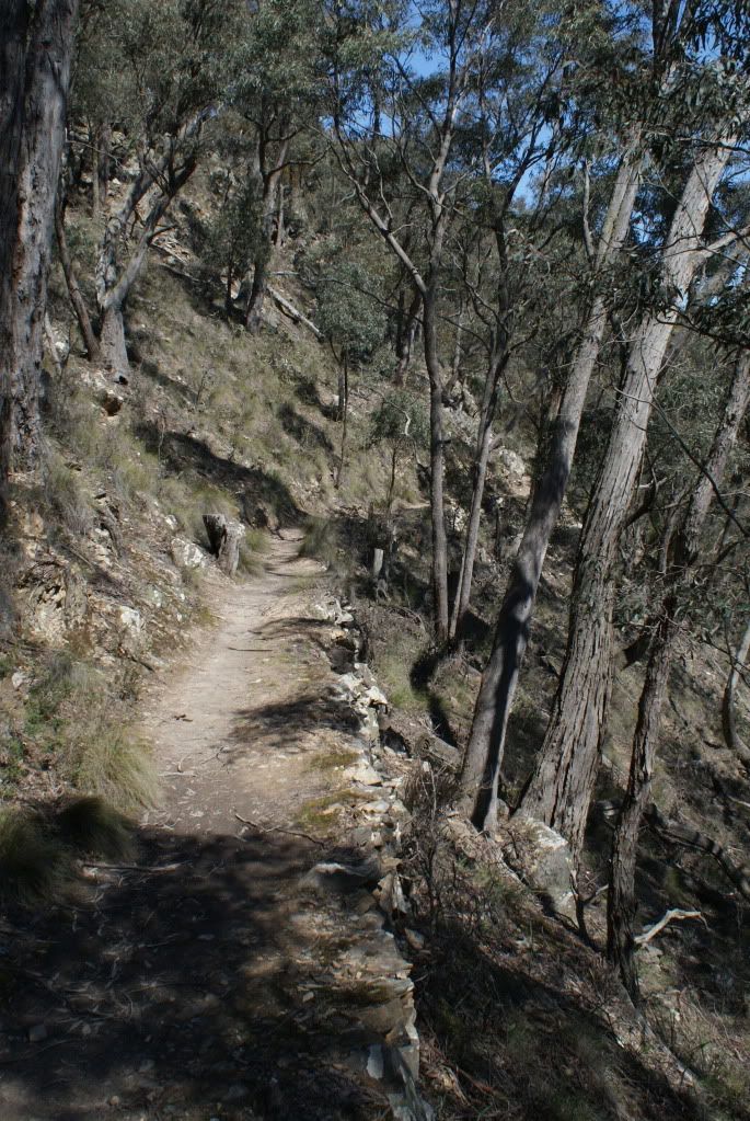
We started at Mackenzies Flat, walked to Graham's Dam (easy) then crossed the river twice (wet feet) then up Spur Track (hard) then down the weir access road (easy) to the weir.
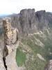
The weir was really worth looking at. The fish ladder was interesting, lets the fishies get back up the river.
Crossed the river again and followed the river 500m (no clear track) to a beautiful campsite. I know it's forum rules not to post about areas with no tracks but I think this was a commonly visited area due to multiple fireplaces - I think the track was just washed out in the recent high waters in winter.
Day 2 hiked back to the weir then up Long Point Track (hard), along Blackwood Ranges Track (easy) and down Link Track No. 1 (hard) back to Graham's Dam then home.

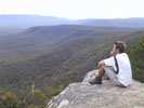
The tracks were mostly quite steep. Some areas required actual hand and feet climbing - the climb at the weir end of the Long Point Track was the steepest, almost rock climbing. Beautiful view over the weir at the top though!

The campsite near the weir was just spectacular. Unimaginably flat. Took my new Vango Tempest 200 for a spin, here's some shots of the tent and the site.


Hike was a good 4 to 4½ hours to the camping site and then maybe another 4 to 4½ back out. It was a relief to be going down Link Track No. 1 rather then up it! Great weekend to finish at Graham's Dam too - jumped straight in to cool off - boots and all.