Page 1 of 2
Penguin Cradle Trail photos
Posted: Fri 12 Sep, 2008 12:09 pm
by tas-man
Re: Penguin Cradle Trail photos
Posted: Fri 12 Sep, 2008 12:39 pm
by tas-man
Some more photos.
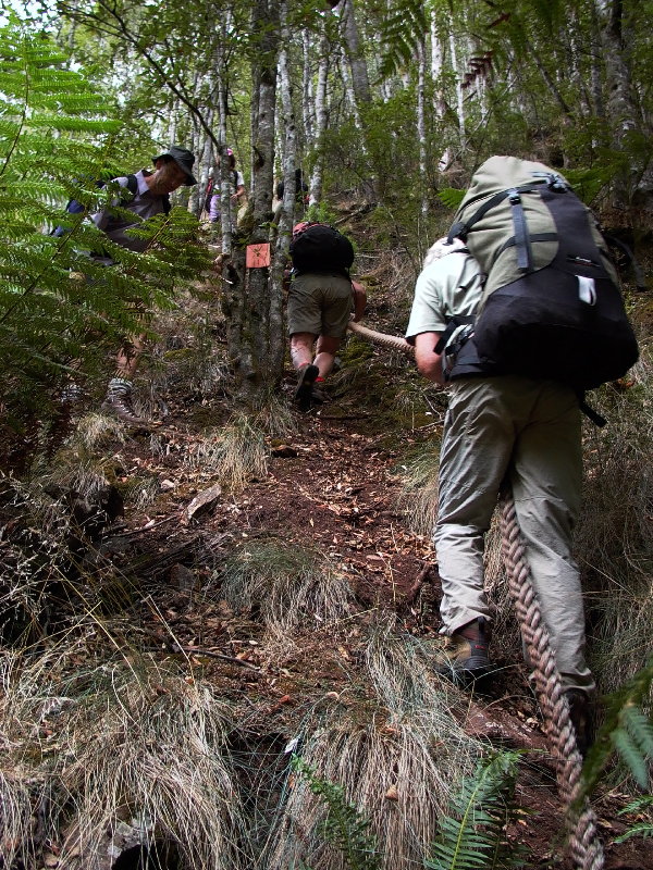
- CLimbing up the rope hawser out of the Leven River to bypass a cliff line
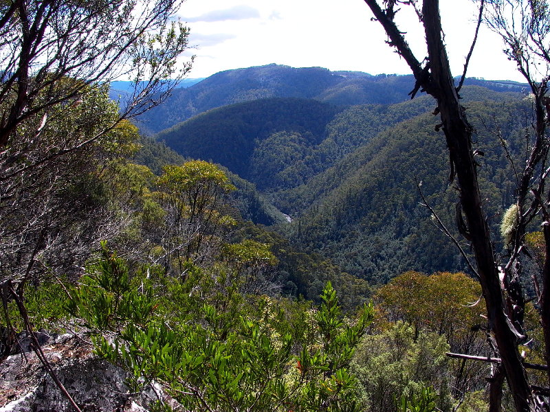
- Magnificent views to the north from top of the Loongana Range's Griffith Ridge
Re: Penguin Cradle Trail photos
Posted: Fri 12 Sep, 2008 12:52 pm
by geoskid
G'day Tas-man,
Thanks for the photos. This is a walk I am very interested in doing soon, however I will do it in stages starting with the
leven canyon section first with an overnighter at Blackwood Camp. (cant get six days in a row off work). In his book
Chapman describes a narrow descending ledge crossing a rock face just south of Tulip Creek which is potentially dangerous.
I'm not afraid of heights, just big drops and the sudden stop at the bottom! How difficult is it? Is it relatively safe and just a head thing? Have you got any pictures of it and also Blackwood camp? I have done the walk from Loongana Rd to Griffiths Ridge and back,- pretty speccy and I didnt have any problems there.
Thanks
Geoskid.
Re: Penguin Cradle Trail photos
Posted: Fri 12 Sep, 2008 12:58 pm
by tas-man
Re: Penguin Cradle Trail photos
Posted: Fri 12 Sep, 2008 1:24 pm
by tas-man
geoskid wrote:<SNIP> In his book
Chapman describes a narrow descending ledge crossing a rock face just south of Tulip Creek which is potentially dangerous.
I'm not afraid of heights, just big drops and the sudden stop at the bottom! How difficult is it? Is it relatively safe and just a head thing? Have you got any pictures of it and also Blackwood camp? I have done the walk from Loongana Rd to Griffiths Ridge and back,- pretty speccy and I didnt have any problems there.
Thanks
Geoskid.
Here is a photo of that part of the track that had my knees "trembling" when I first did it in heavy rain in 2004. The surface is loose with grass tufts and parts with nothing secure to hang onto, so VERY careful foot placement was necessary. However when I took this photo in 2007, doing it in the dry, I wondered what my concerns had been! - so the weather conditions DO make a BIG difference.
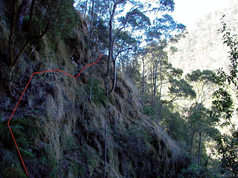
- A tricky bit of track above Leven River, loose surface and nothing much to hang onto.
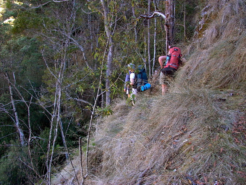
- Much of the higher level track along the Leven River is benched through grassy slopes with scattered eucalyptus etc. Mostly just a boot width wide on the steeper slopes.
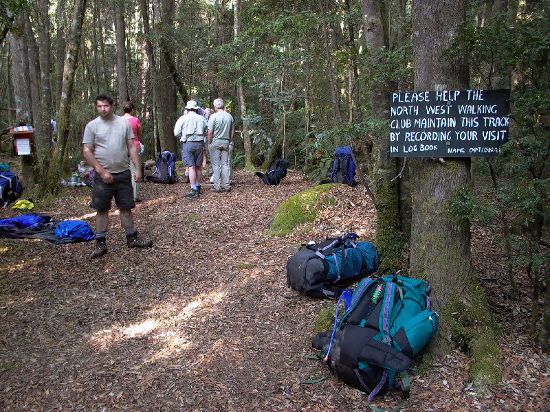
- Launceston Walking Club group at Blackwood Camp site, right on the river, with a great swimming hole.
Re: Penguin Cradle Trail photos
Posted: Thu 11 Aug, 2011 12:38 pm
by tas-man
Re: Penguin Cradle Trail photos
Posted: Thu 11 Aug, 2011 12:45 pm
by tas-man
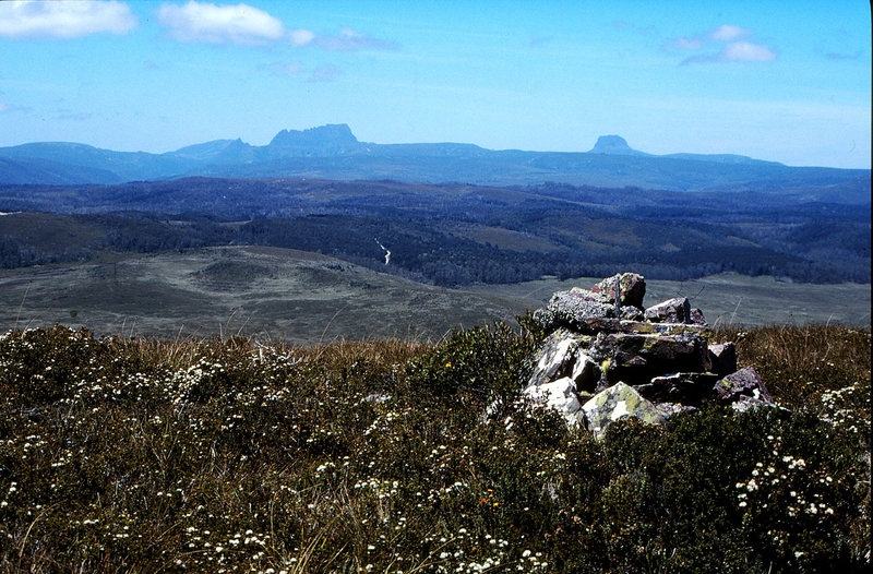
- Looking south to Cradle and Barn Bluff from Hellyer's survey cairn.
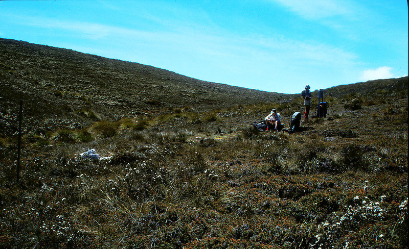
- One of the marked campsites, with logbook stand, on Bare Mountain where a creek starts. No water there in mid summer, but it was coming! A very exposed campsite however.
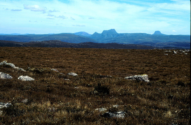
- More views to Cradle and Barn Bluff from the range.
Re: Penguin Cradle Trail photos
Posted: Thu 11 Aug, 2011 12:51 pm
by tas-man
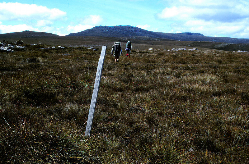
- Getting closer to Black Bluff on far right.
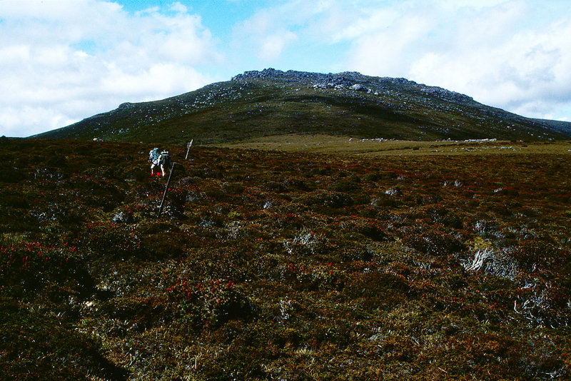
- . . . and a bit closer . . .
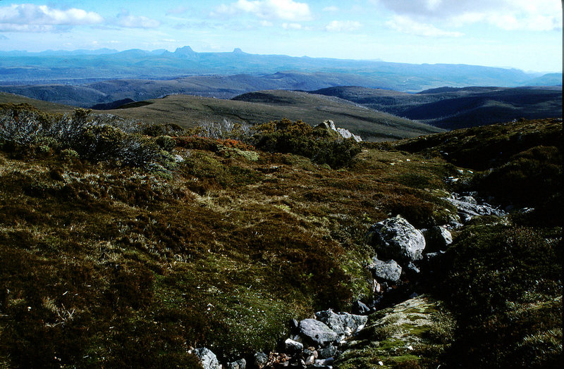
- View south again over Vale of Belvoir to Cradle and Barn Bluff.
Re: Penguin Cradle Trail photos
Posted: Thu 11 Aug, 2011 12:57 pm
by tas-man
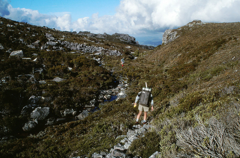
- Enjoyable walking along the upper reaches of Winter Brook as the track skirts to the SE of Black Bluff.
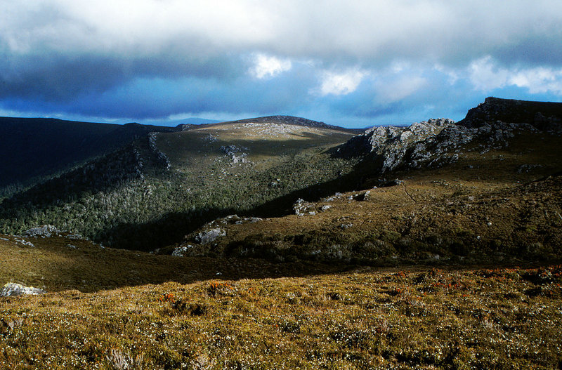
- Looking south over the top of Winterbrook Falls.
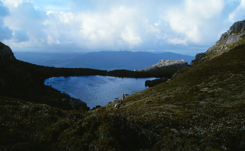
- Downhill to Paddy's Lake.
Re: Penguin Cradle Trail photos
Posted: Thu 11 Aug, 2011 1:05 pm
by tas-man
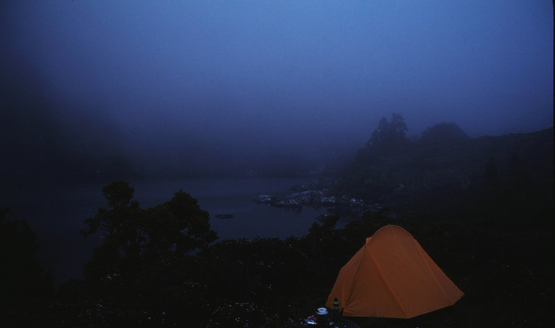
- Evening cloud settles on Paddys Lake.
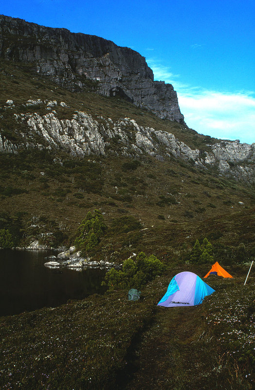
- Camping on the track at Paddy's Lake, with Black bluff towering over.
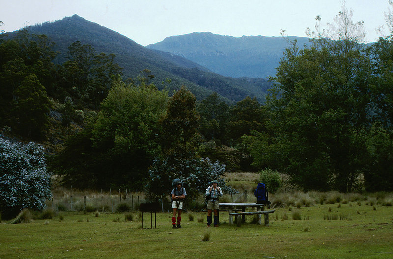
- Leven River's Taylor's flat picnic grounds for lunch, Black Bluff behind.
Re: Penguin Cradle Trail photos
Posted: Thu 11 Aug, 2011 1:20 pm
by tas-man
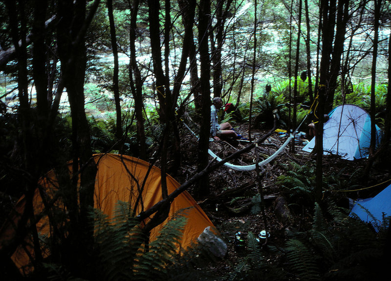
- Campsite next to Leven River a few hundred metres upstream from the footbridge.
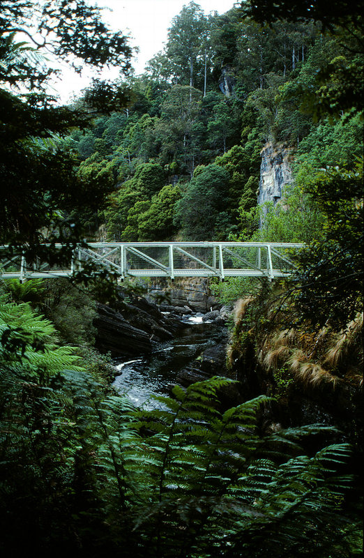
- The P/C track meets up with the track from Loongana Road at the footbridge.
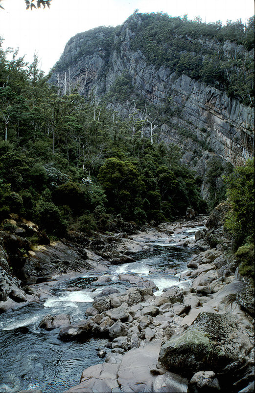
- Leven Gorge above the falls before the steep climb over the Loongana Range.
Re: Penguin Cradle Trail photos
Posted: Thu 11 Aug, 2011 1:32 pm
by tas-man
Re: Penguin Cradle Trail photos
Posted: Thu 11 Aug, 2011 1:41 pm
by tas-man
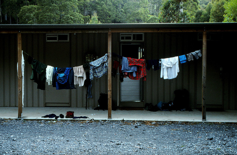
- We enjoyed a dry night and hot showers at Wings Wildlife Park and tried to dry our clothes and gear out a little!
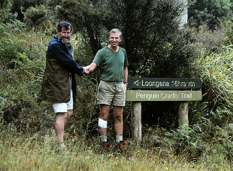
- Next day we were driven back to where the P/C track joins Lowana Road to get a photo we couldn't get in the rain!
Re: Penguin Cradle Trail photos
Posted: Thu 11 Aug, 2011 1:55 pm
by DonQx
nice

brings back memories.
Ta!!!
Re: Penguin Cradle Trail photos
Posted: Thu 11 Aug, 2011 4:00 pm
by tas-man
Re: Penguin Cradle Trail photos
Posted: Thu 11 Aug, 2011 4:13 pm
by tas-man
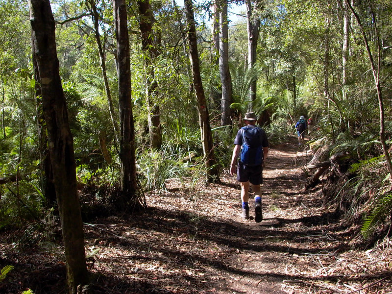
- Walking on the old Lobster Creek Tramway formation beside the Leven River.
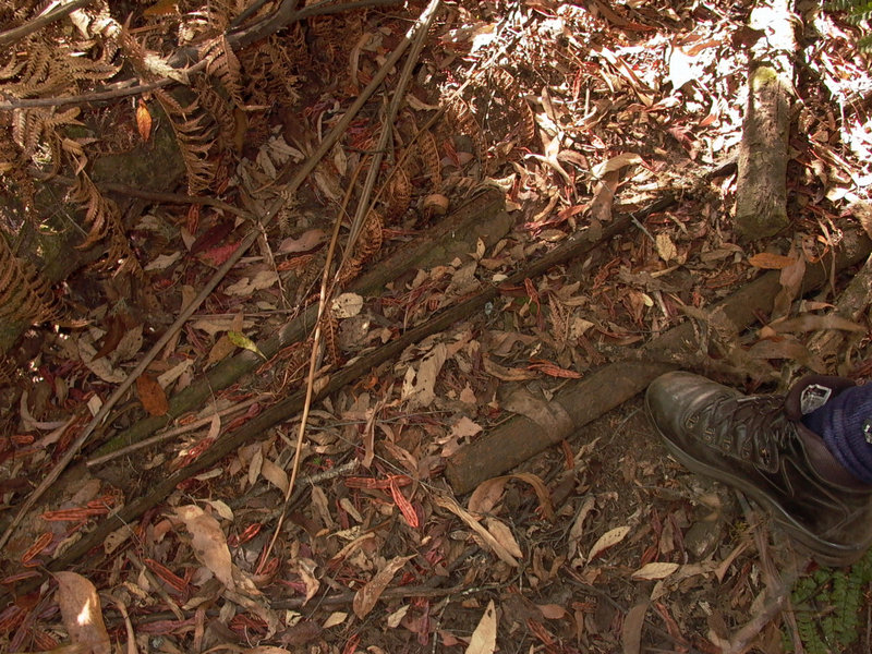
- Rusting rails confirm the history of the tramway formation.
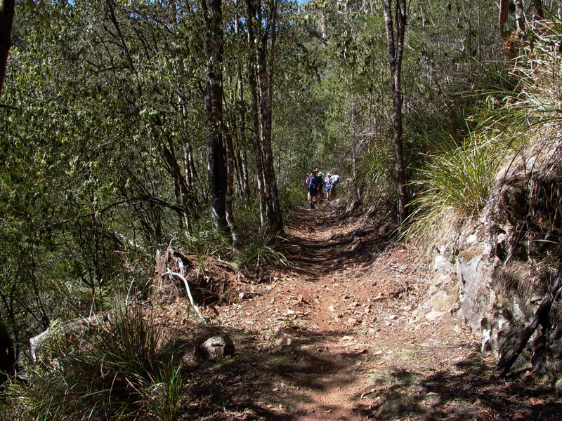
- Pleasant walking along the old tramway formation.
Re: Penguin Cradle Trail photos
Posted: Thu 11 Aug, 2011 6:18 pm
by tas-man
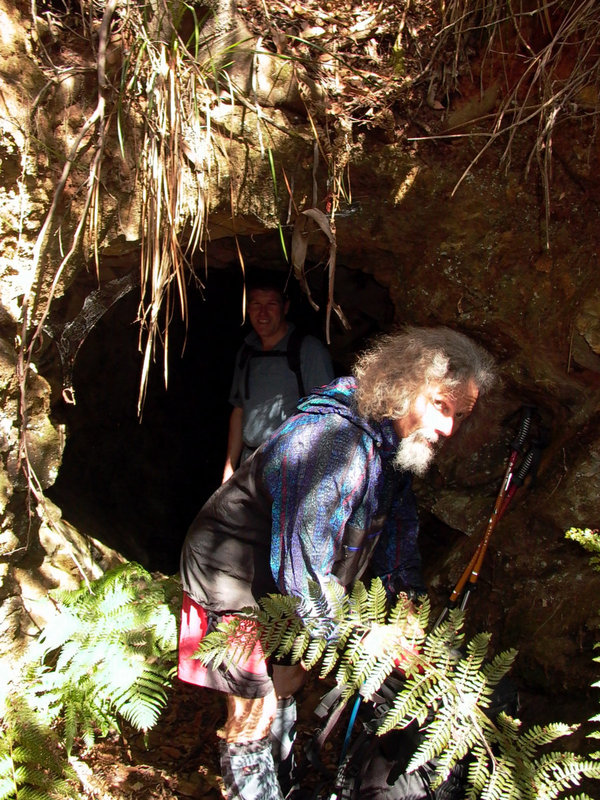
- We find an old mine shaft beside the tramway formation.
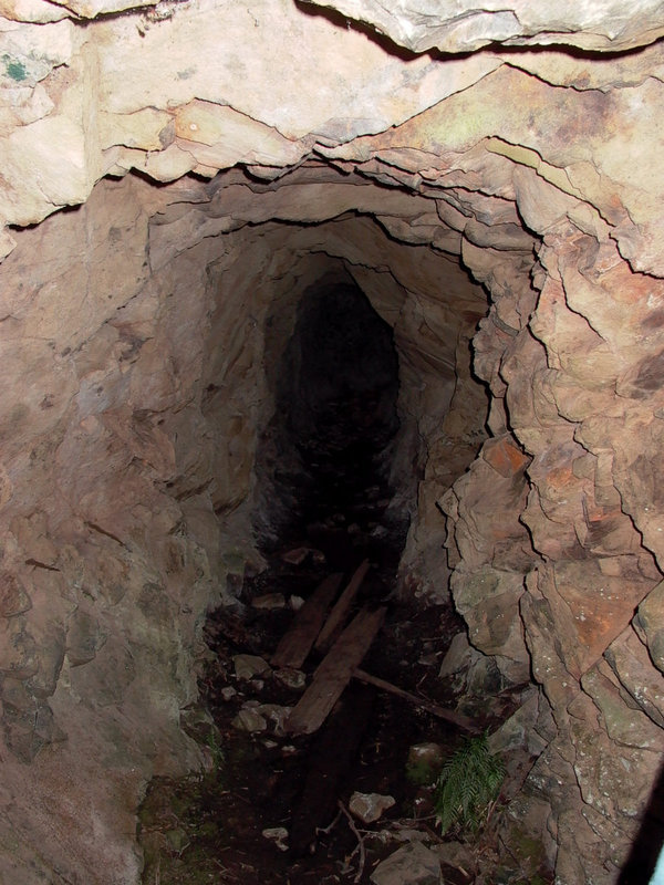
- Deep inside the mine shaft.
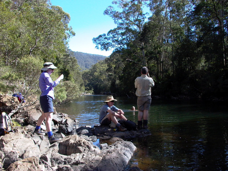
- Morning snack time on the Leven River.
Re: Penguin Cradle Trail photos
Posted: Thu 11 Aug, 2011 6:29 pm
by tas-man
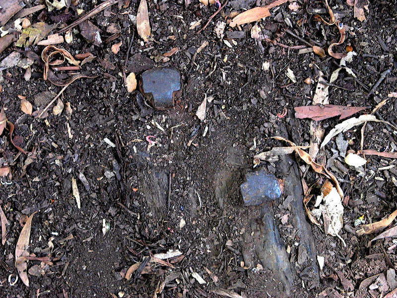
- If you look carefully, there are still rail spikes in timber sleepers hindden in the leaf litter.
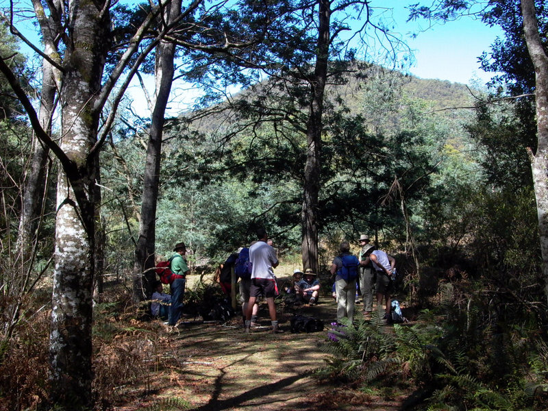
- Another rest break where the track leaves the Leven River to skirt uphill around private property. Mt Lorymer in the background.
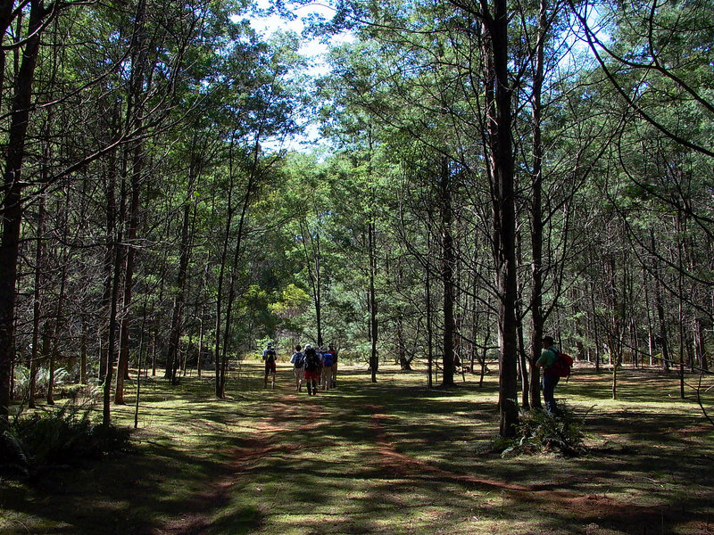
- Spacious campground at Foggs Flats where Hardstaff and Rogers Creeks meet the Leven River.
Re: Penguin Cradle Trail photos
Posted: Fri 12 Aug, 2011 10:35 am
by tas-man
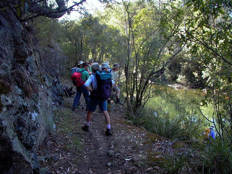
- Another view of the Leven River from the tramway track on the return journey.
Re: Penguin Cradle Trail photos
Posted: Fri 12 Aug, 2011 10:52 am
by Penguin
Great photos.
Having recently done a couple of sections of the P2C trail recently - Leven Canyon and Fourways to Cradle Mountain Lodge - great track. It is just a shame that it is a bit run down in places.
Are there issues with camping at Fogg Flat's at the moment?
P
Re: Penguin Cradle Trail photos
Posted: Fri 12 Aug, 2011 10:53 am
by tas-man
Here's a bit of historical background to the tramway track section of the PCT. The stills are from a historic 16mm movie about the Lobster Creek Tramway that is in the Launceston Walking Club's possession.
Re: Penguin Cradle Trail photos
Posted: Mon 20 Aug, 2012 3:26 pm
by tas-man
I recently walked the start of the Penguin-Cradle Trail with
scockburn and his mate from Brisbane Bushwalkers and the track along Keddies Creek has a lot of tree fall that makes for lots of detours. Myrtle Creek was flowing well and a photographers delight with the mossy banks, tannin froth, and ferns. Here's a selection of photos to fill gaps in this thread.
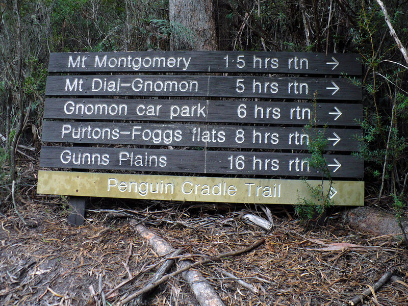
- PCT and other info sign at start of PCT just after road crossing on Myrtle Creek.
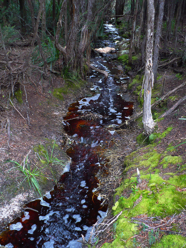
- Myrtle Creek at start of PCT.
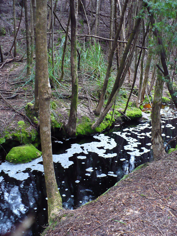
- Myrtle Creek beside begining of PCT.
Re: Penguin Cradle Trail photos
Posted: Mon 20 Aug, 2012 3:30 pm
by tas-man
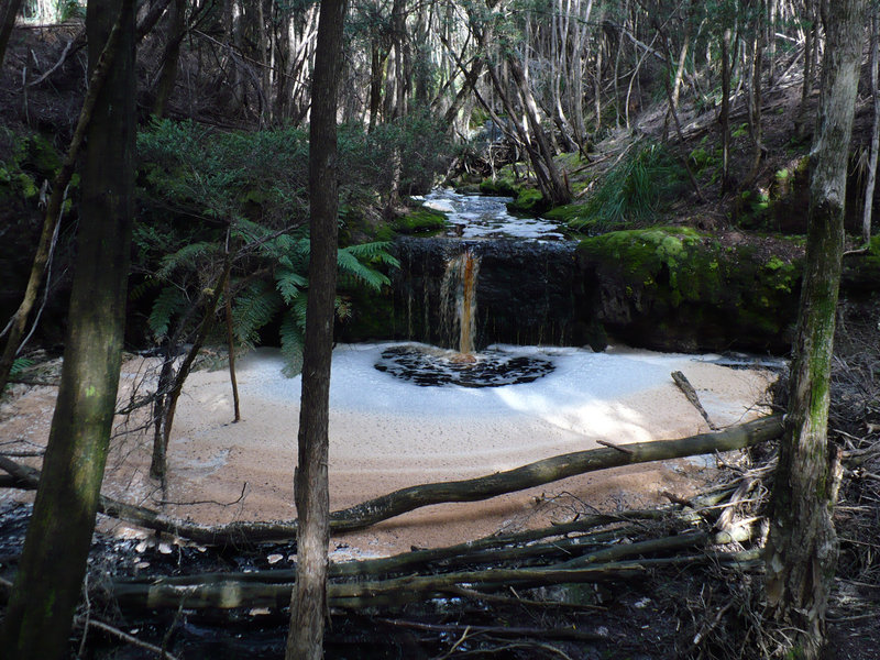
- One of the many cascades along Myrtle Creek.
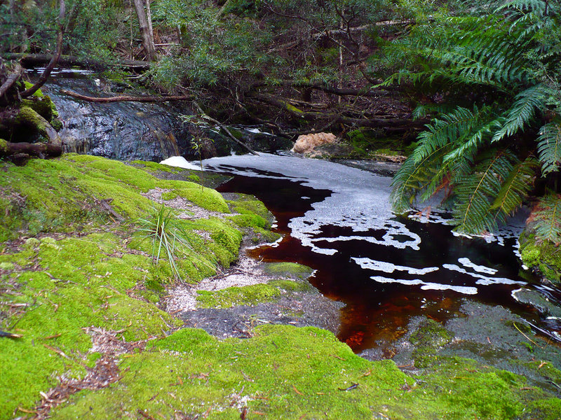
- Myrtle Creek detail.
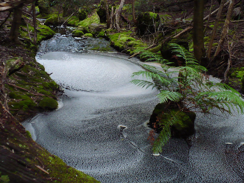
- More moss and froth patterns in Myrtle Creek .
Re: Penguin Cradle Trail photos
Posted: Mon 20 Aug, 2012 3:41 pm
by tas-man

- The track winds high above Myrtle Creek.
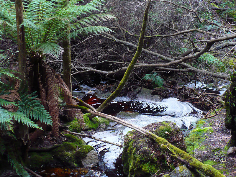
- Myrtle Creek.
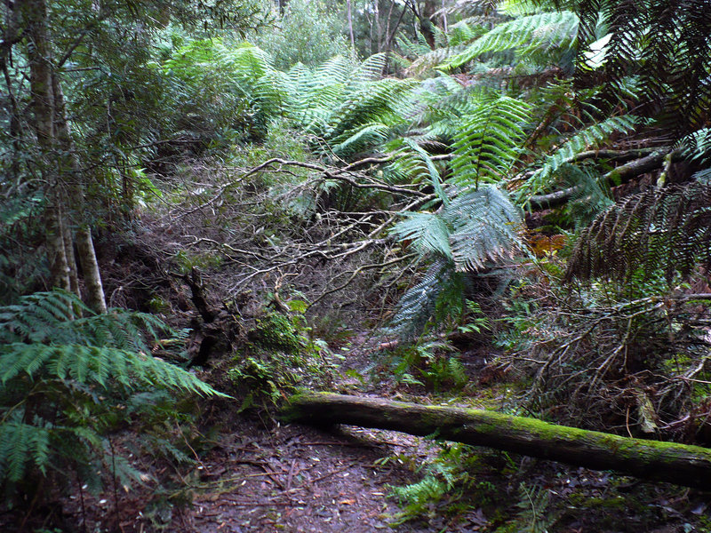
- Tree falls over track along Keddies Creek.
Re: Penguin Cradle Trail photos
Posted: Mon 20 Aug, 2012 3:59 pm
by tas-man
Fresh tree falls over track along Keddies Creek.
Penguin Cradle Trail photos
Posted: Mon 20 Aug, 2012 10:09 pm
by sthughes
A couple of us did the Penguin-Gunns Plains section a couple of weeks ago. I'd say some work must have been done because there were only a handful of trees over the track of which only one or two were a hassle. Nice section of track .
Re: Penguin Cradle Trail photos
Posted: Wed 05 Dec, 2012 6:39 pm
by JBC130213
Hi,
Good to hear that a lot of those trees have been cleared. And wonderful photos too. We're hoping to do the whole Penguin to Cradle walk in Feb. and wondered if anyone knew what the state of the rest of the track is at the moment? Are there any trouble spots to watch out for? Plus how realistic is it to do the track in 8 days in a single carry? Do people cache food along the way eg at the wilderness holiday cabins? Oh and one last thing we're counting grams and wondered what's the longest distance we'd need to carry water for?
Thanks a lot for any advice.
Re: Penguin Cradle Trail photos
Posted: Fri 07 Dec, 2012 5:22 am
by iandsmith
Wow, wonderful stuff, thanks for sharing. Some nice and interesting pics among them. Cheers
Re: Penguin Cradle Trail photos
Posted: Fri 07 Dec, 2012 10:16 am
by sthughes
JBC130213 wrote:Hi,
Good to hear that a lot of those trees have been cleared. And wonderful photos too. We're hoping to do the whole Penguin to Cradle walk in Feb. and wondered if anyone knew what the state of the rest of the track is at the moment? Are there any trouble spots to watch out for? Plus how realistic is it to do the track in 8 days in a single carry? Do people cache food along the way eg at the wilderness holiday cabins? Oh and one last thing we're counting grams and wondered what's the longest distance we'd need to carry water for?
Thanks a lot for any advice.
I haven't done any of the track since earlier this year. But I expect there would be a few trees down and other minor hassles, but on a track like this it's to be expected (it is much harder and less maintained than tracks like the Overland Track/Walls of Jerusalem etc).
8 Days should be quite doable, especially so if you can manage to cadge a lift for the Gunns Plains road section. If you are a fast walker side trips like Mt Beercroft or (if really fast) Reynolds Falls are doable in 8 days.
Some people do make food caches, but it's only 8 days so quite possible to carry enough. It's up to you if carrying the extra weight or organising food caches is the most hassle.
Water can be a real issue on the Black Bluff range in February. When I did the Loongana to Pencil Pine section in February this year (not a dry summer) the only water we found from Paddys Lake to Four Ways were some stagnant puddles at Bare Mountain camp. You won't die but without carrying plenty of water you may have to descent off the range to find reliable water on the surrounding plains. It all depends on the weather leading up to your walk - it's unlikely but possible you way find mud/snow more of a hassle than dehydration.

At the risk of sounding like an old woman I will just say if you have done little walking this isn't an easy intro to the 'sport'. It covers some quite rough terrain, has the odd navigational challenge, is very exposed to extreme weather in parts and over the past few years a ridiculous number of people have been rescued by helicopter from the PCT and it's various side trips, many of them from basically underestimating the difficulty and ending up lost, freaked out or injured. If you find the first section to Gunns Plains hard then you may be in for a real shock in the Leven Canyon. But it's a fantastic walk, perhaps my favourite multi-dayer due to the variety, challenges, scenery, heritage and, hey it's practically in my backyard

Re: Penguin Cradle Trail photos
Posted: Tue 18 Dec, 2012 9:15 pm
by JBC130213
Many thanks for this information. We have some experience, more so in other states. We're looking to get as much information about conditions before we set out so we can devote more energy to enjoying the country. Good advice to see how we feel after the first section to Gunns Plains though and we'll keep an eye on the rain-fall. Hoping that it is only our food that is dehydrated.