Lophophaps wrote:The scales may not be the same for the spurs but the profiles are correct. I'd be happy if my pack was 30 kg lighter, like a helium balloon.
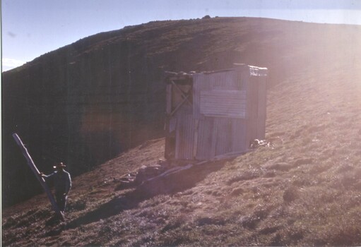
From Bogong Jack turn Fainter North then go on the track for a short way, then off track to the summit. From there off track or with a bit of track to Fainter South. Pick up the track to Little Plain, then south-west to the ridge, which is followed to Jaithmathang. It's lovely walking with mainly open and flat terrain, a few scrubby patches, rocky outcrops and a rocky summit. From Jaithmathang, down the track to the saddle south of the summit and west of Tawonga Huts, passing reliable water, good if you want to camp in the saddle. From the saddle it's possible to go south-east on the ridge to meet the Tawonga Hut pole line about half way between the Fainter FT and pole 333.
The picture below is from Fainter North, looking south. The track is just visible on the shoulder on the left in the middle distance.
Nice photo! I can see the track where you point it out. The walk/views look like a great reward for the long walk up.
I didn't know there was a Pole line from Tawonga Hut. I just thought it was from Mt Hotham to Mt Bogong.