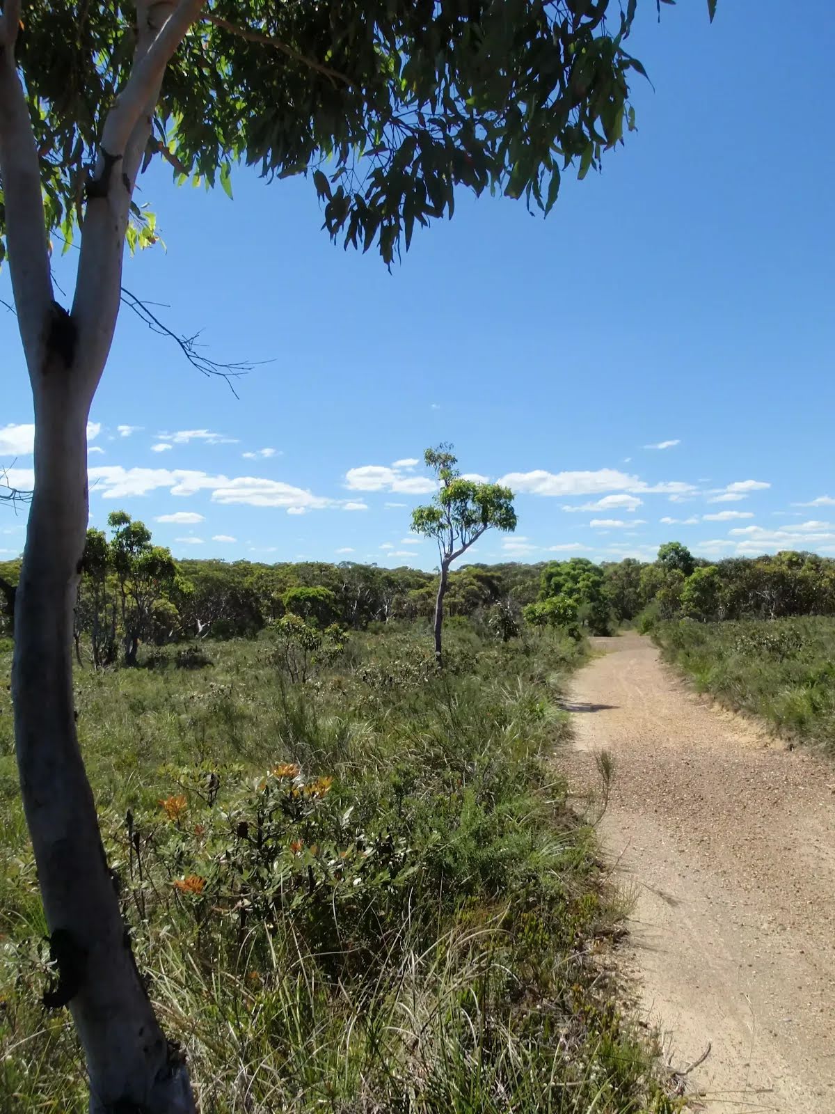
Safety alerts: Flood risk warningForecast heavy rainfall may cause flooding of areas in Watagans, Brisbane Water and Wyrrabalong National Parks and Munmorah and Jilliby State Conservation Areas.
Creek crossings may become impassable with fast flowing water and increased water levels following heavy rainfall.
People planning to visit these parks are urged to check for
closures, emergency warnings and severe weather updates from the
Bureau of Meteorology and
State Emergency Service before heading out.
Remember, it’s never safe to walk, ride or drive through flood waters, so you’ll need to reschedule your visit and avoid travel through areas in this park. Check
Live Traffic NSW for up-to-date information about road closures. For assistance during severe weather visit the
NSW SES website. In life-threatening situations call emergency services on Triple Zero (000).
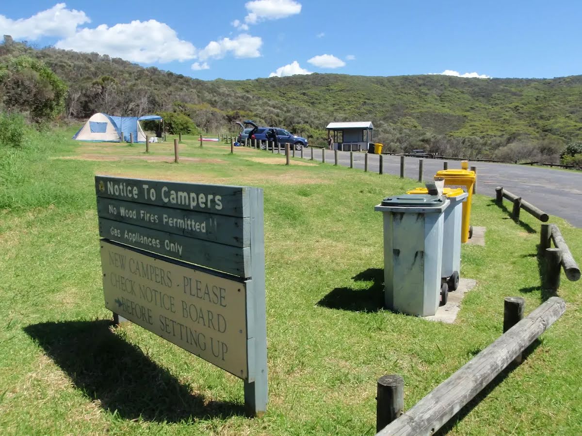
Penalties apply for non-compliance. For more information, contact the local park office on 02 4320 4200.
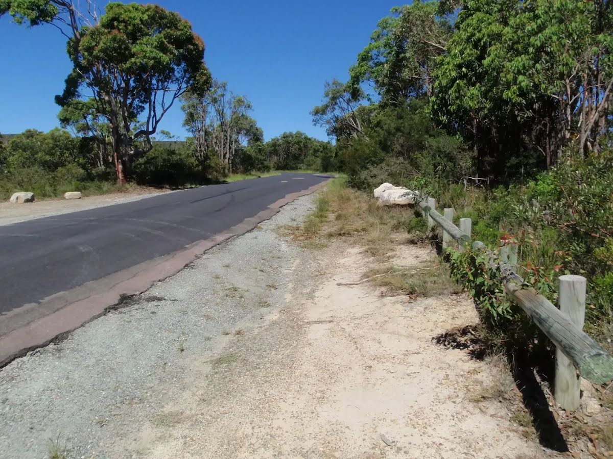
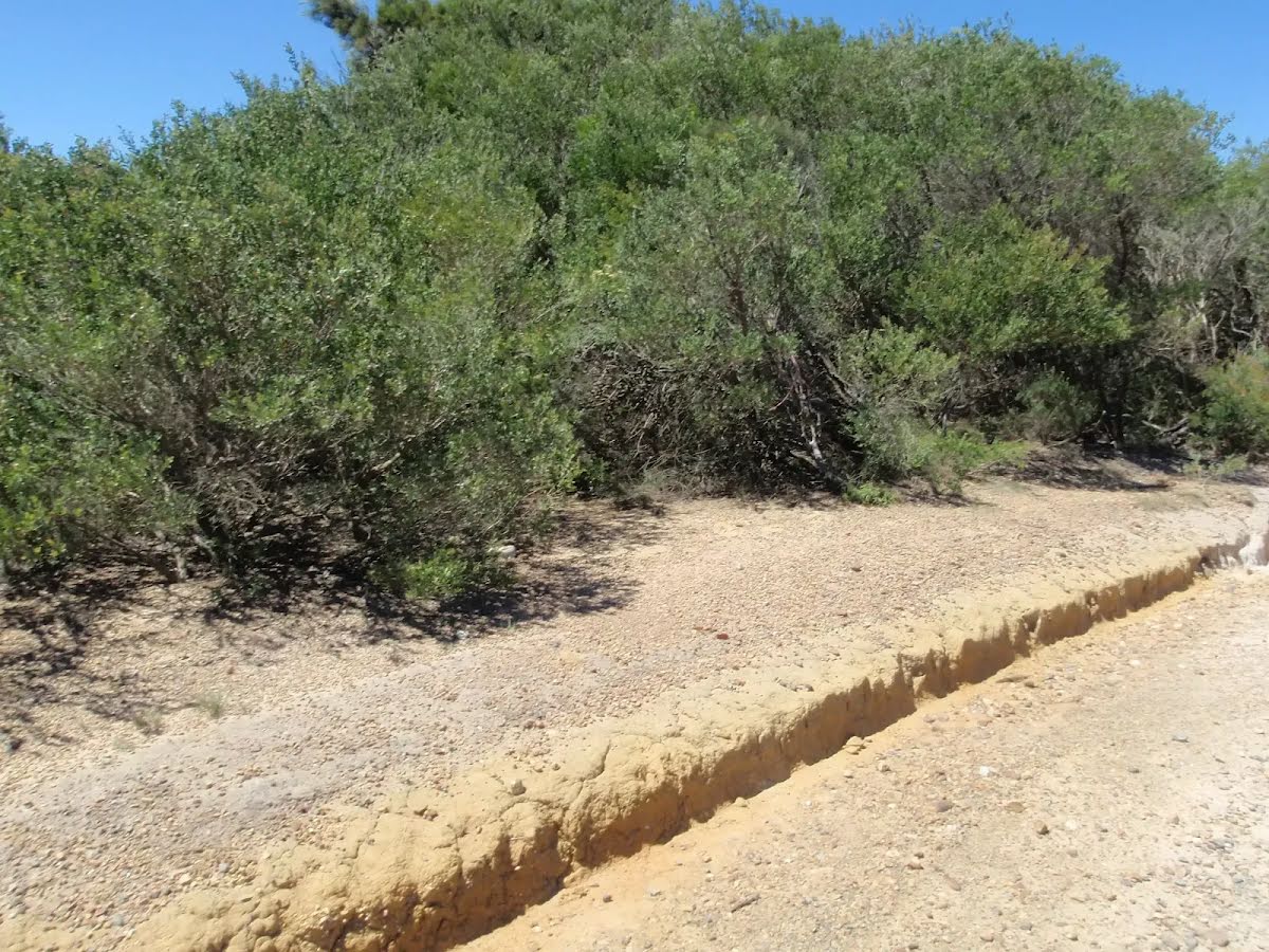
Closed areas: Road reseal project - partial road closuresRoad reseal project will result in partial road closers and delays through the park.
This will be in effect for the duration of works. Starting 10 May 2025 until 10 July 2025
Your patience during this time will be appreciated.
Further questions can be directed to the local area office on 4972 9000.
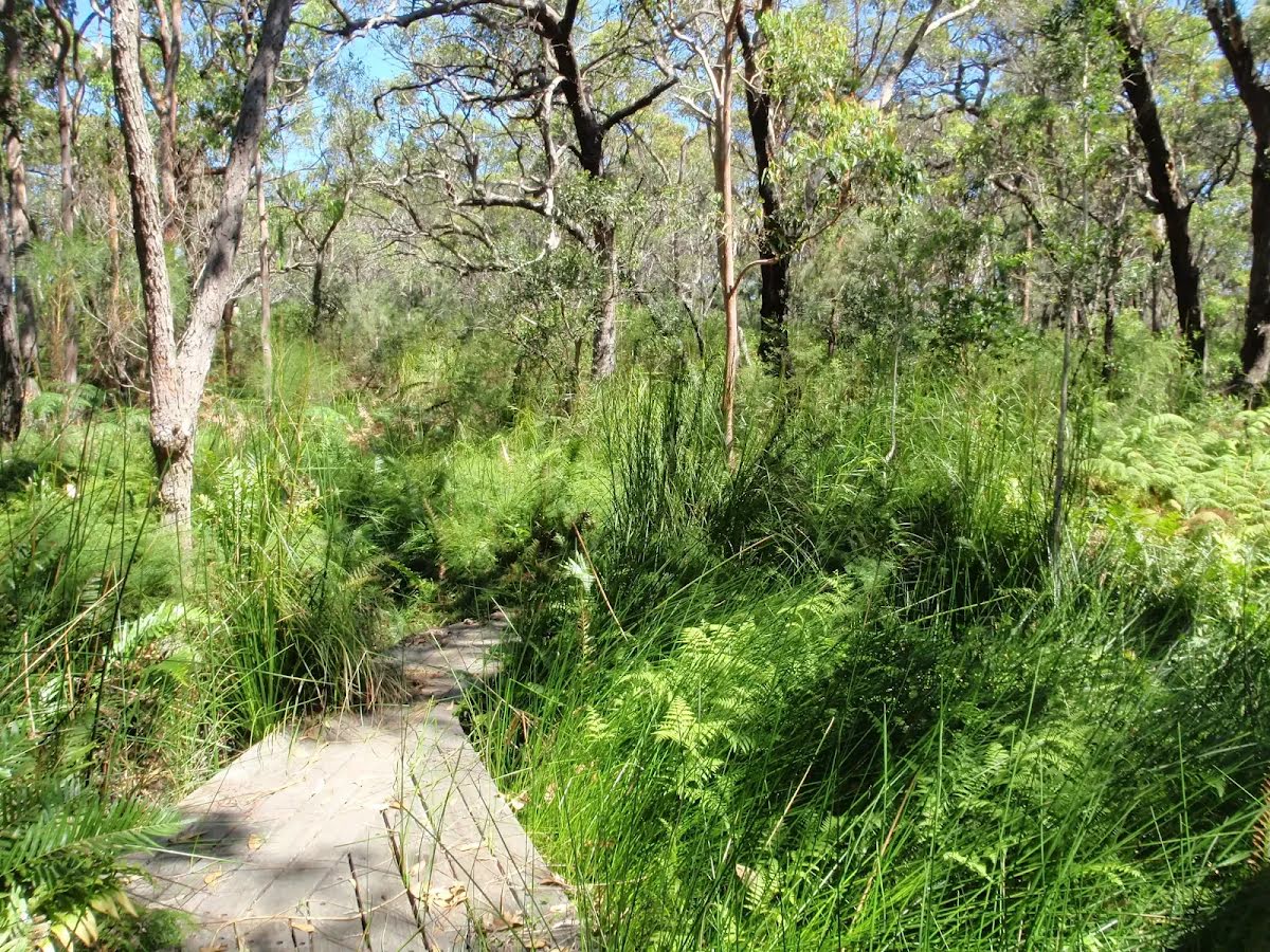
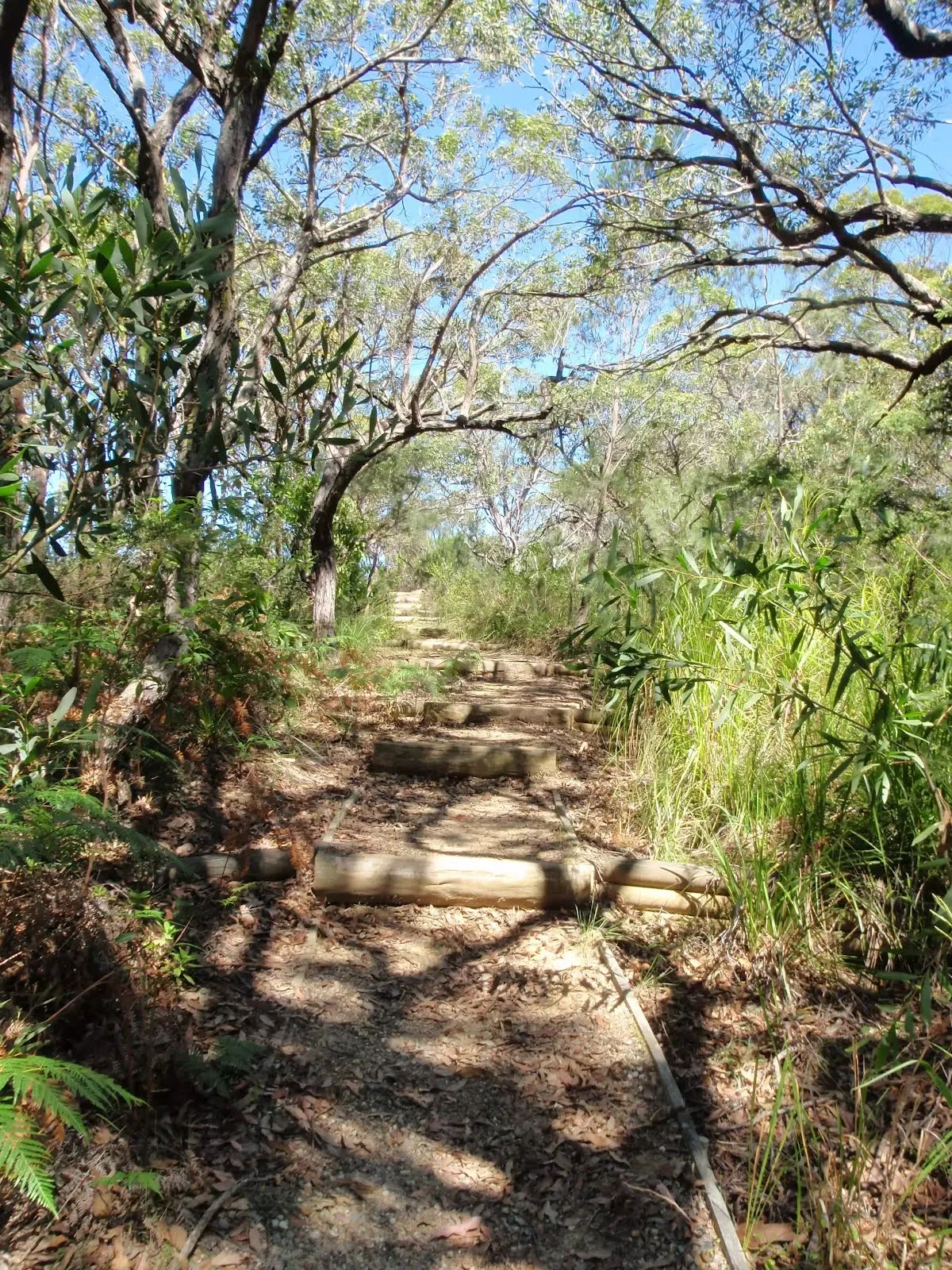
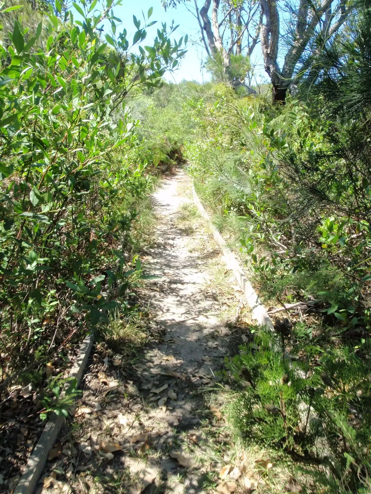
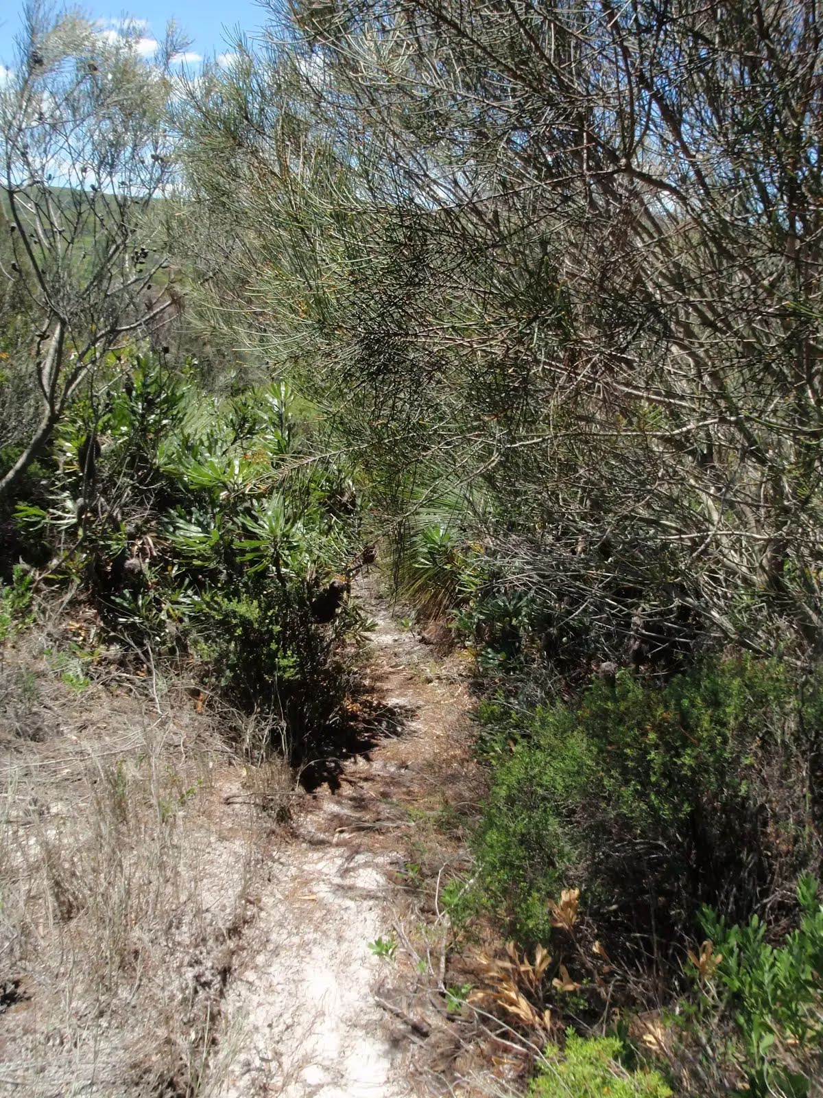
Closed areas: Geebung Walking Track closed for upgrade maintenance worksGeebung walking track is closed for upgrade maintenance works. This closure will be in place until the end of July.
Works have been slow due to wet weather conditions.
Penalties apply for non-compliance. For more information, please contact the local NPWS office on 02 4972 9000.
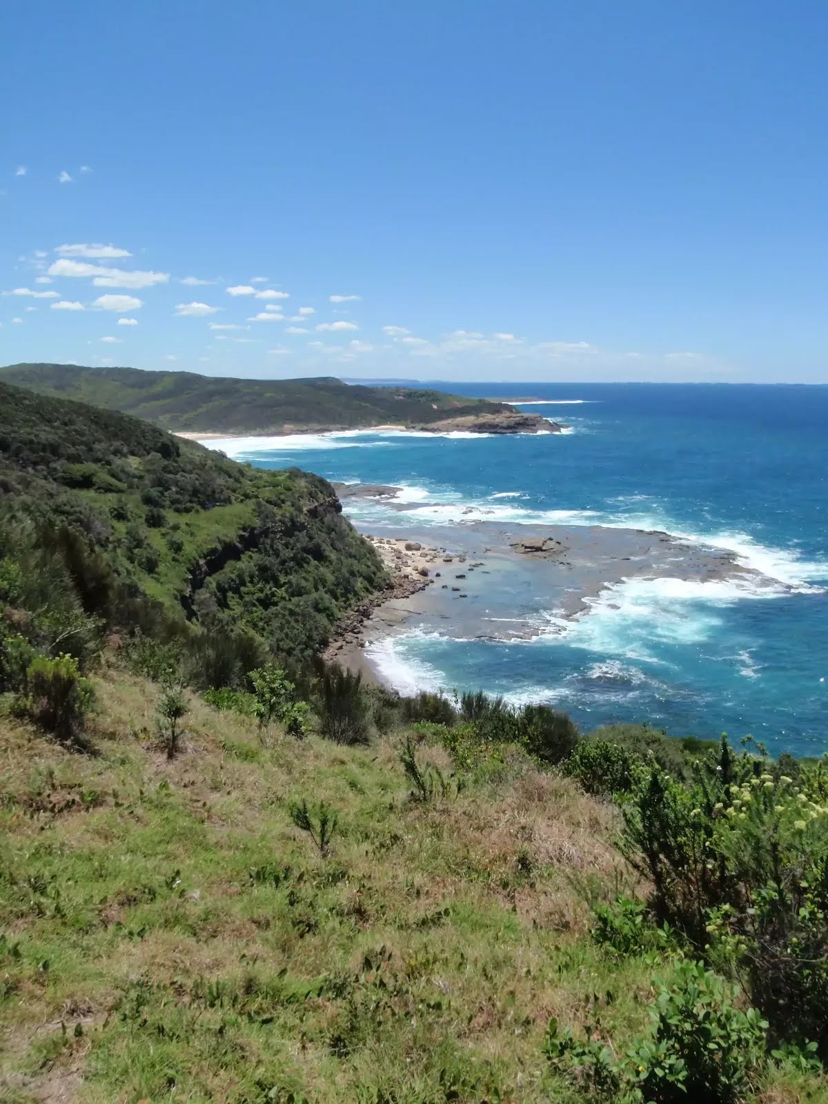
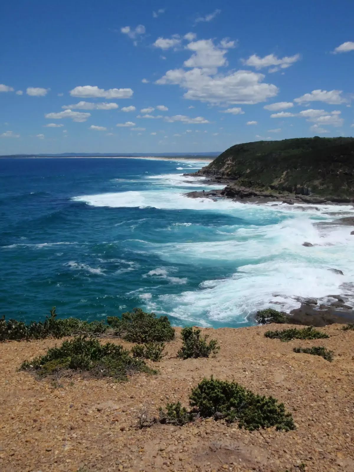
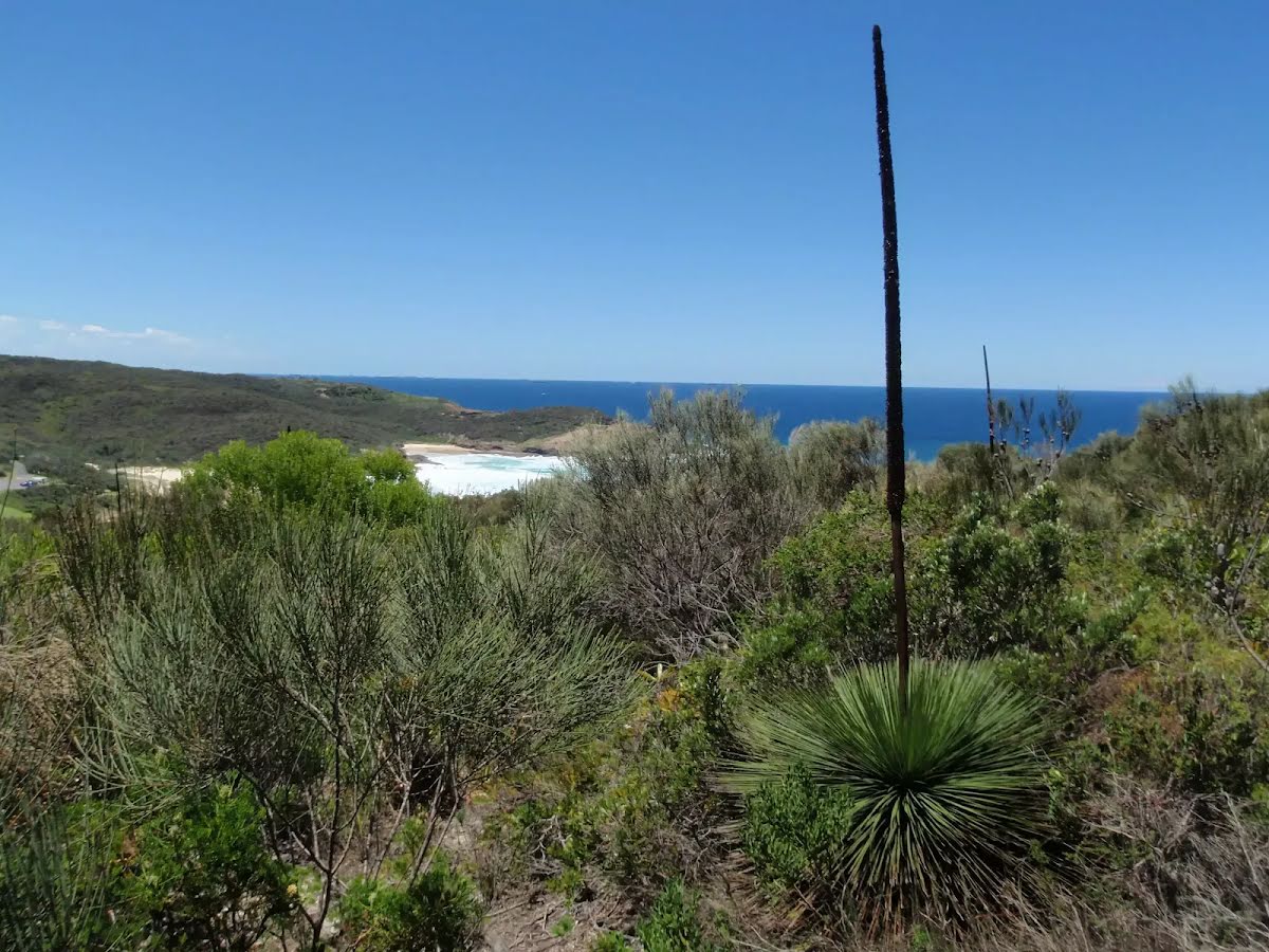
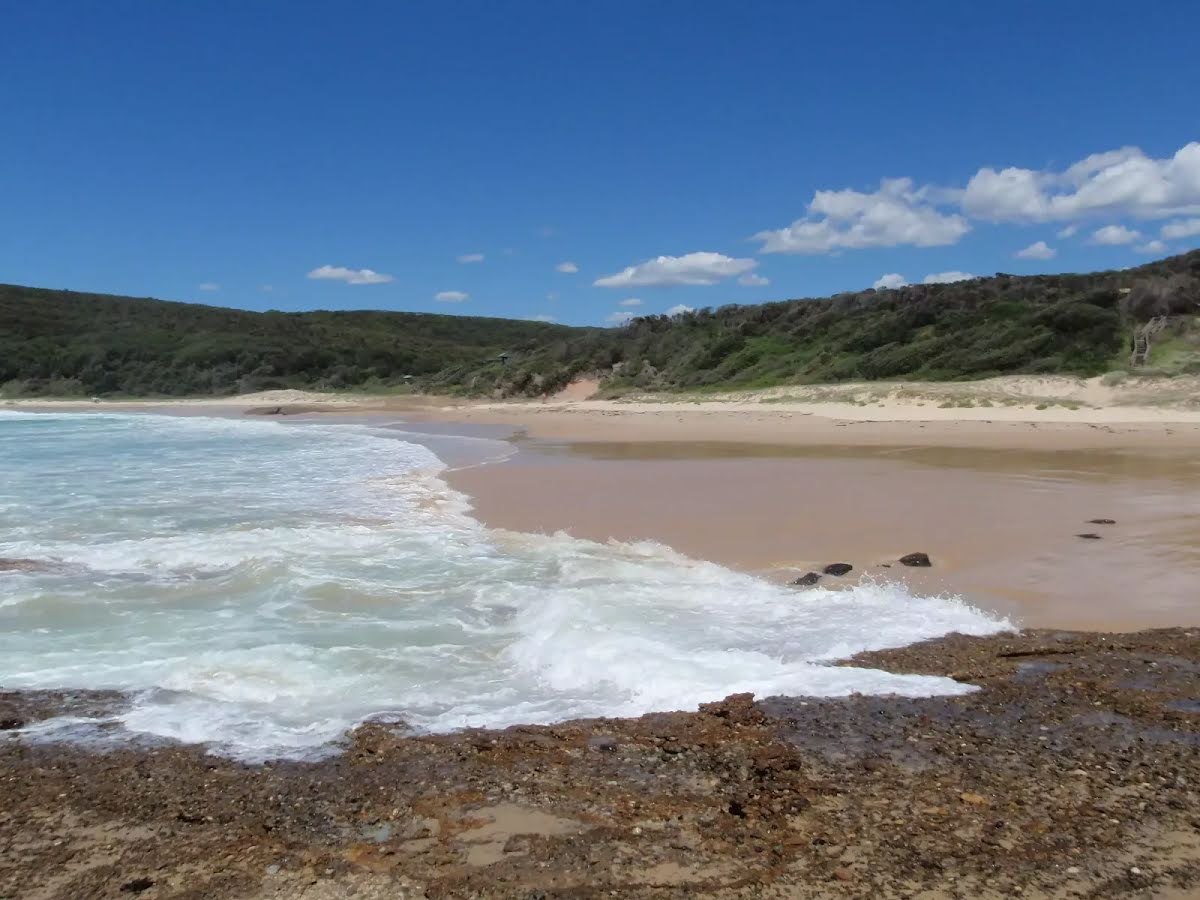
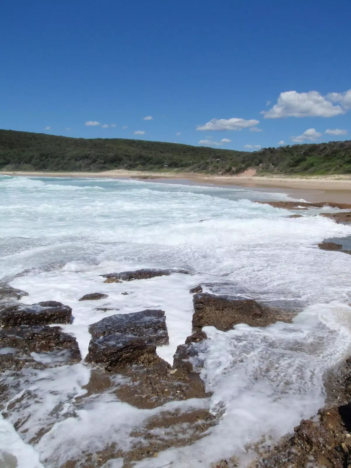
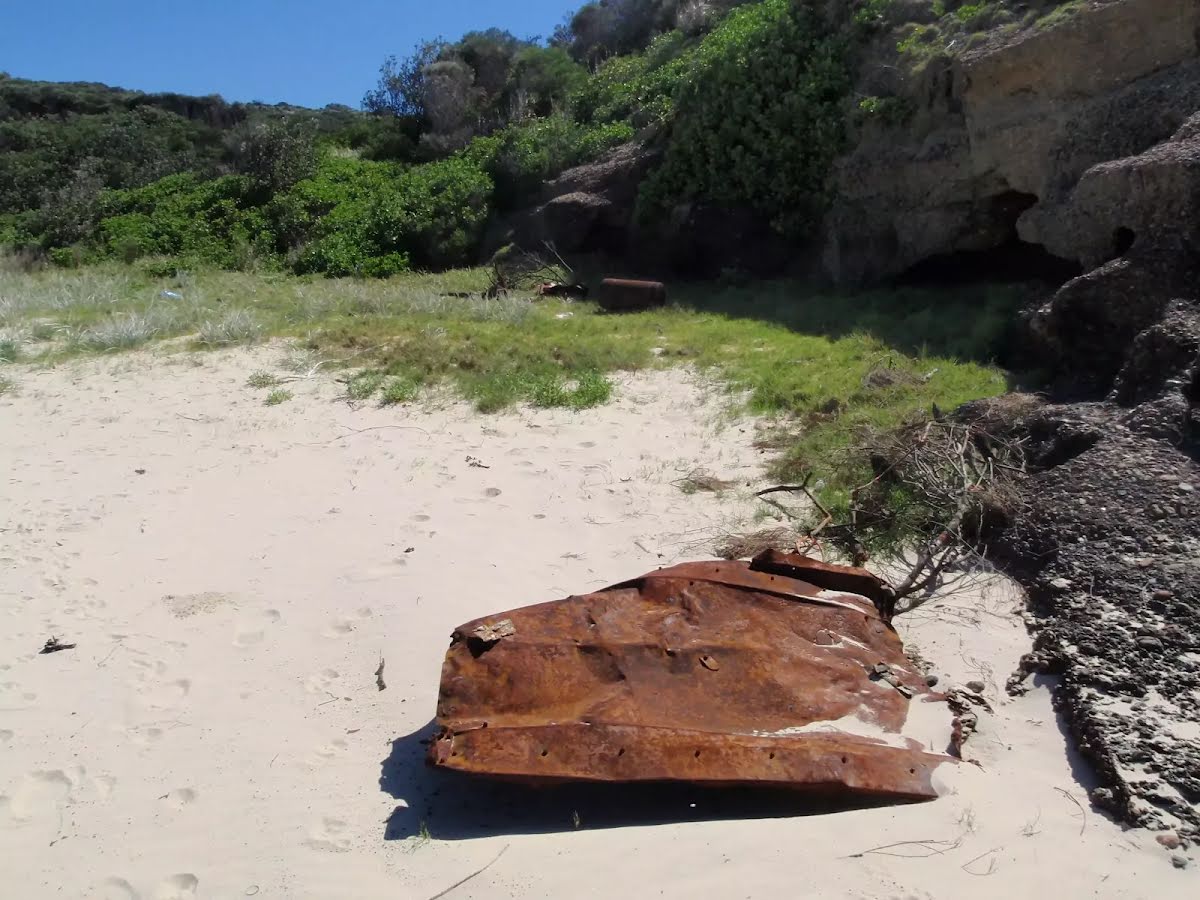
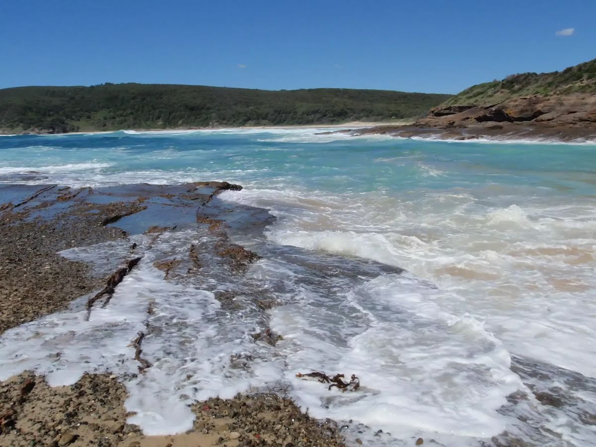
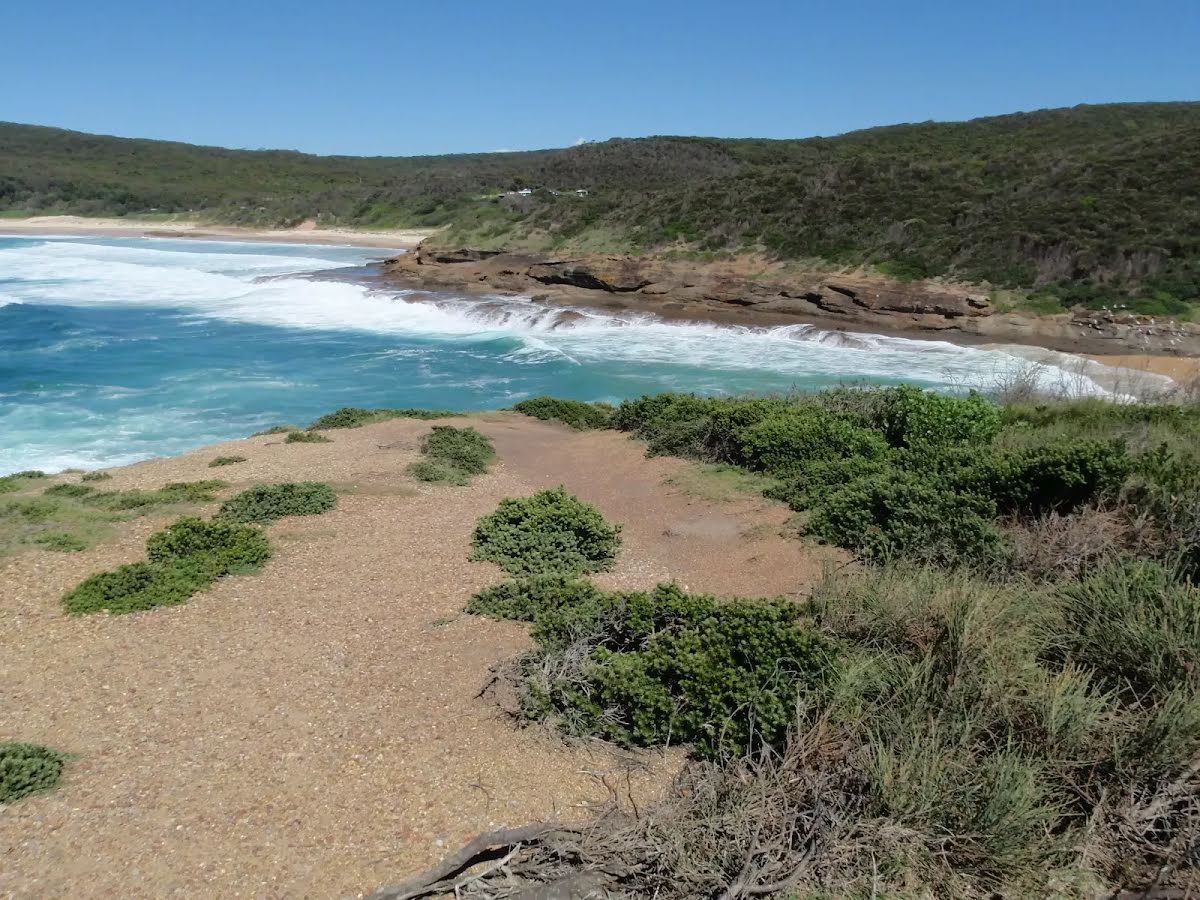
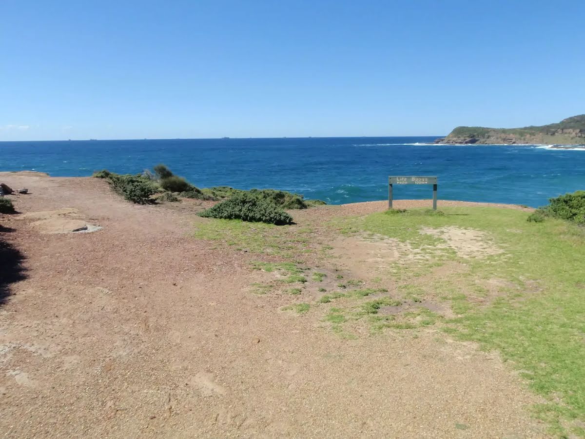
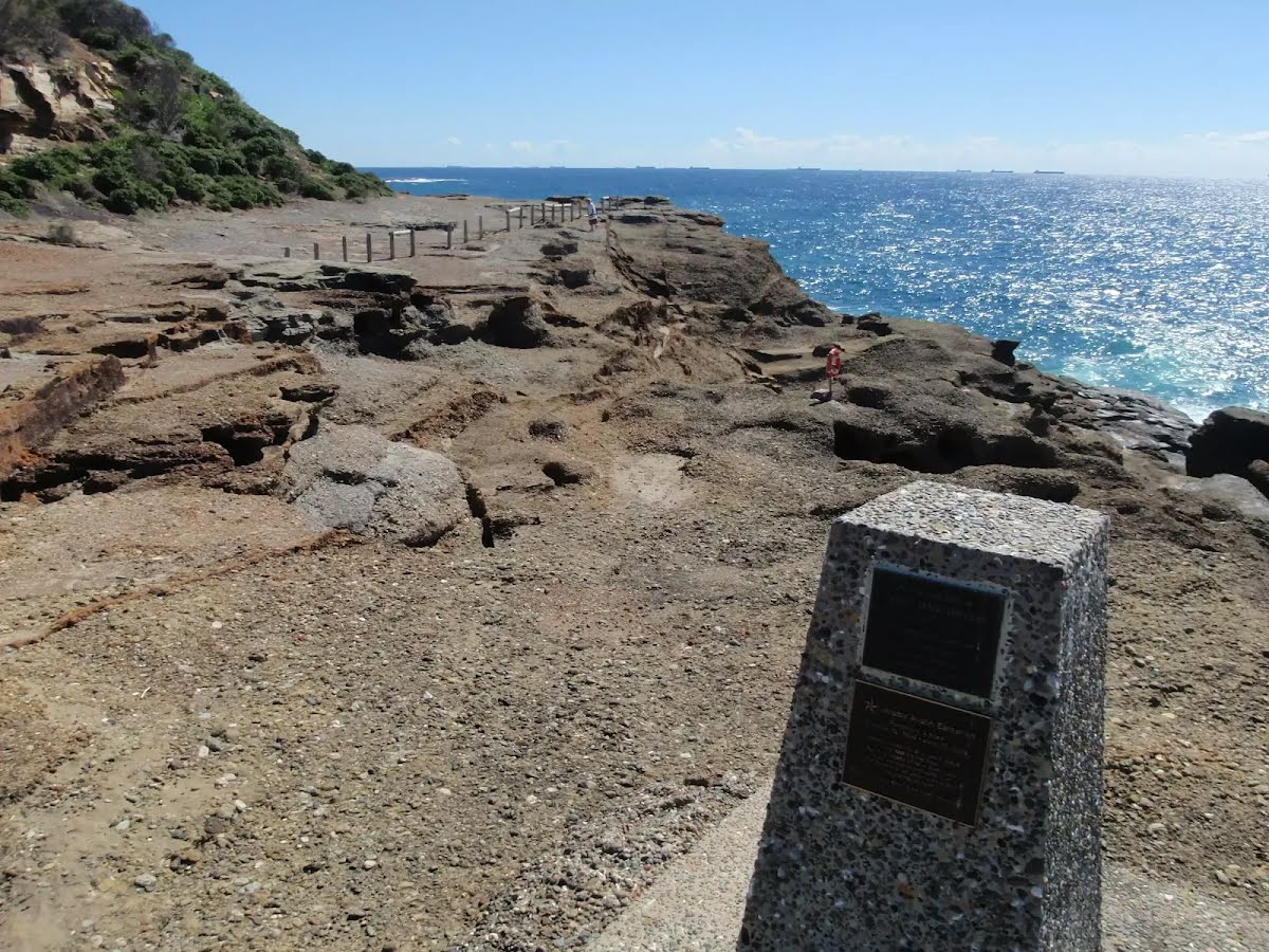
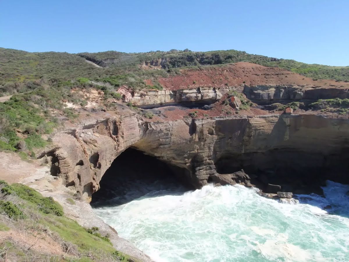
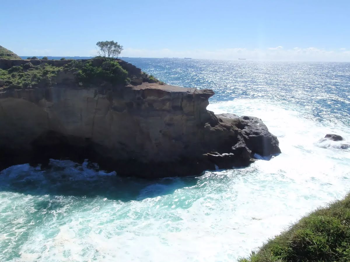
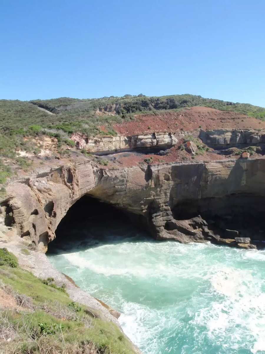
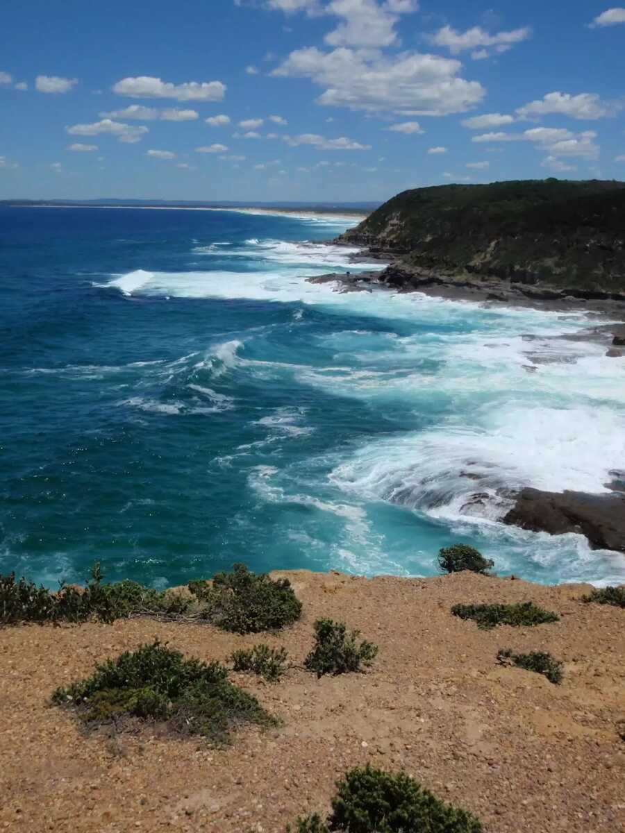
Closed areas: Pink Caves - closed to the publicPink Caves are closed to visitors because they are extremely unsafe to visit.
The caves are filled with water at high tide. Even at low tide they can be dangerous, as the ocean swell sends unpredictable waves sweeping into the caves and across the rock shelf. Sudden rogue waves can cause serious injury and may drag visitors across the rocks or out to sea.
There is no lifeguard service in this area and access for emergency services is limited. There’s no approved walking track to this location. Access to the caves involves walking over a rock shelf which is slippery, uneven and dangerous.
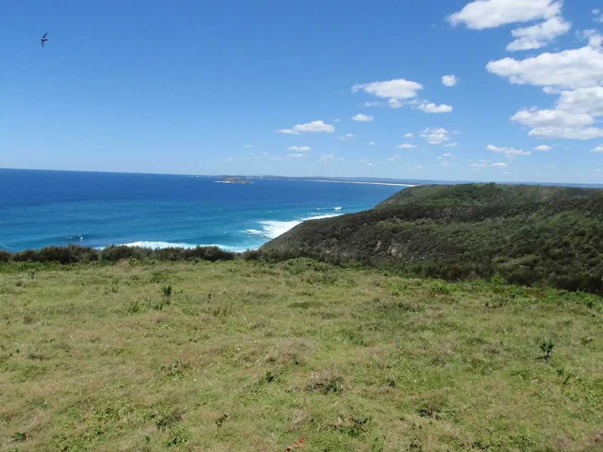
Visitors should take care when traversing all rock shelves and coastal areas located within Munmorah State Conservation Area.
For further information call the NPWS Local Area office on 02 4972 9000.
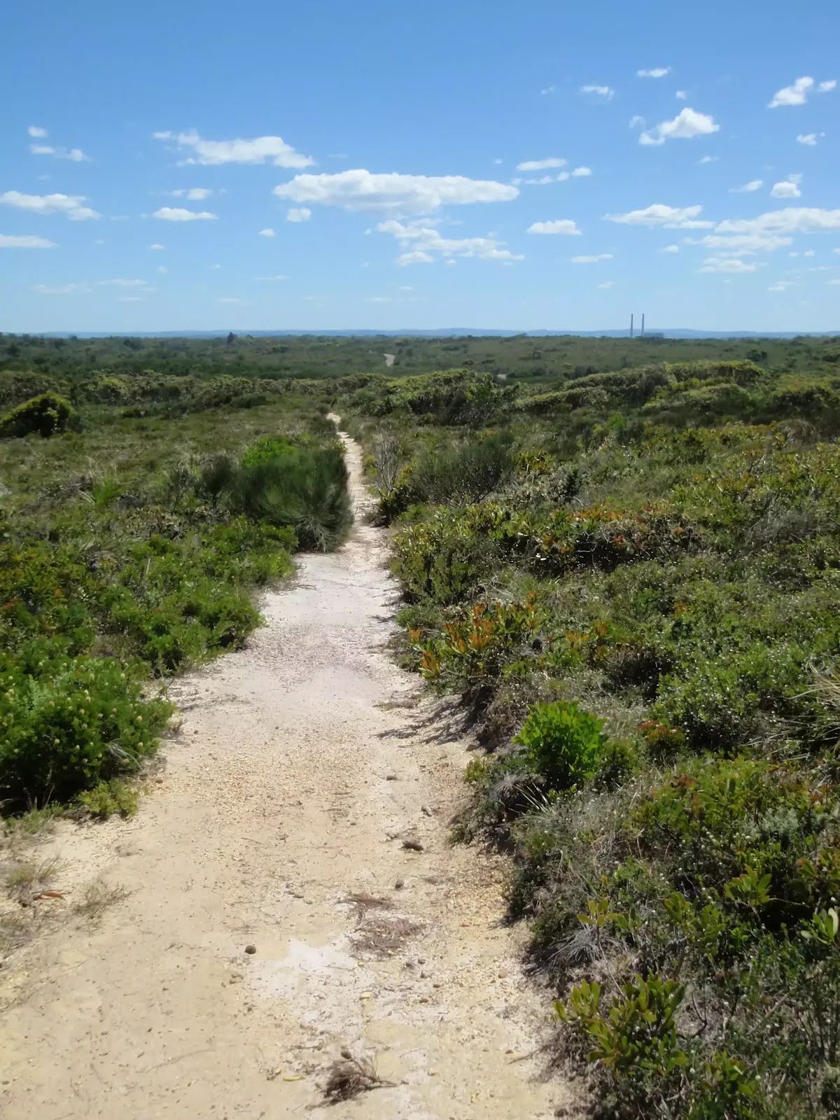
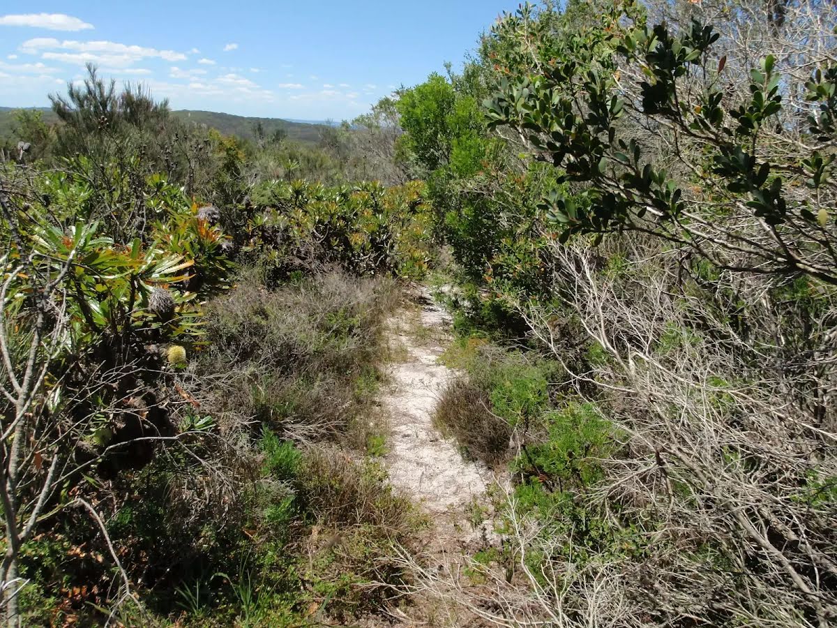
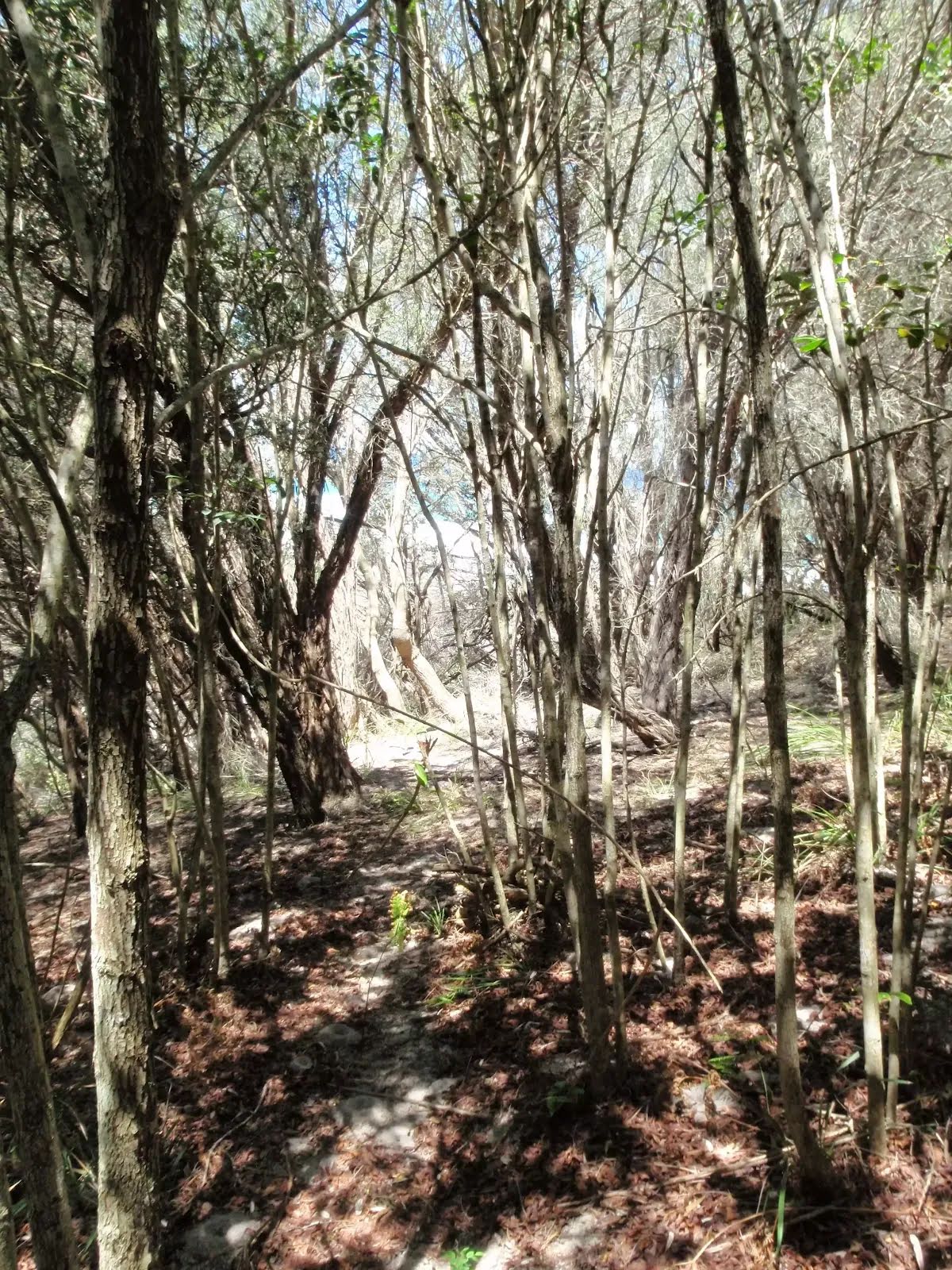
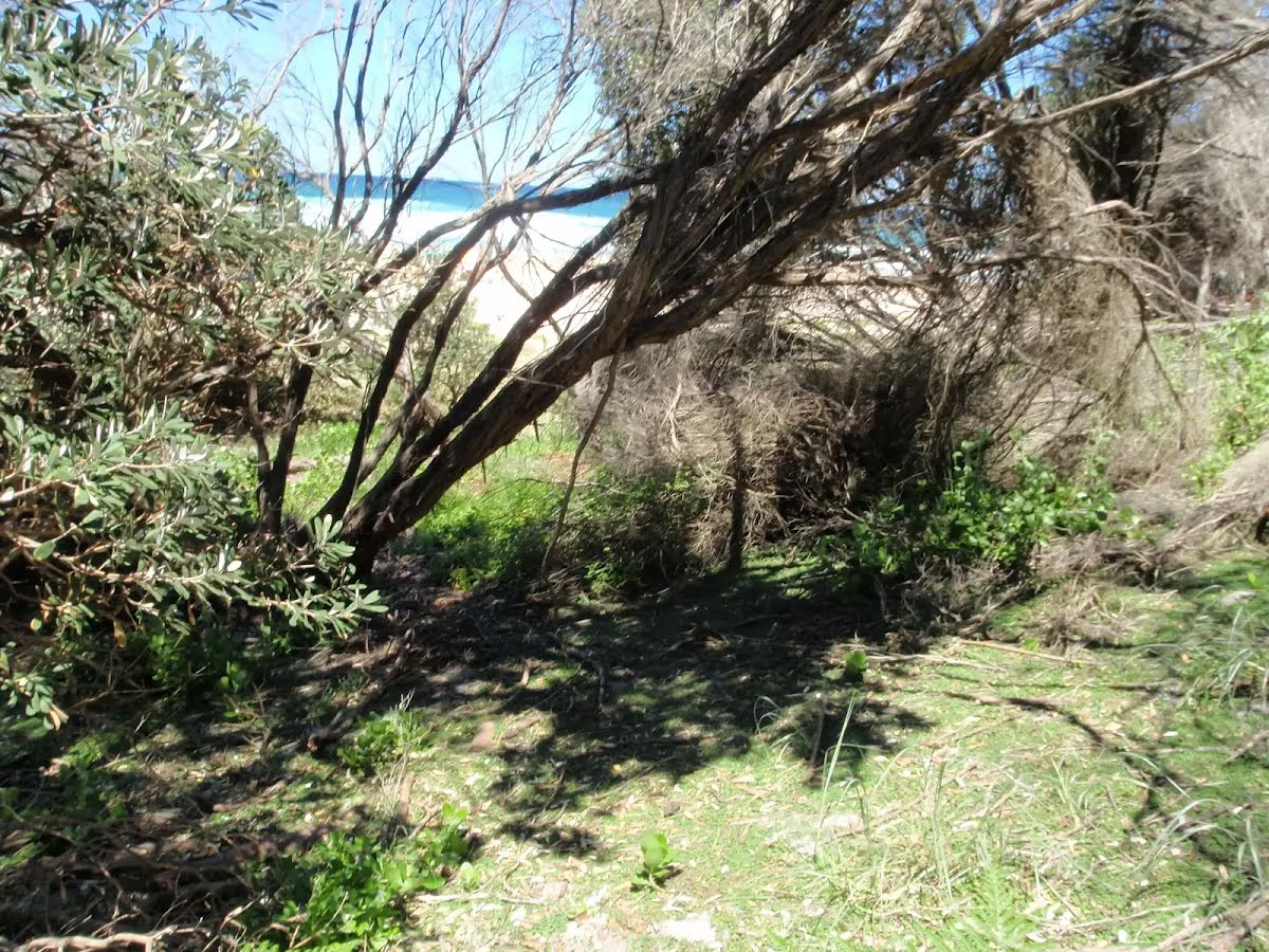
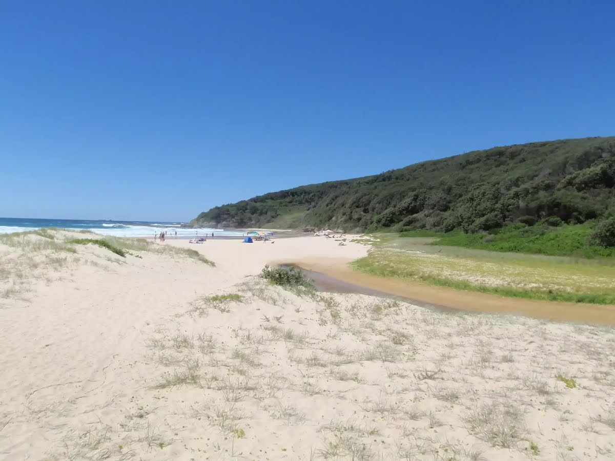
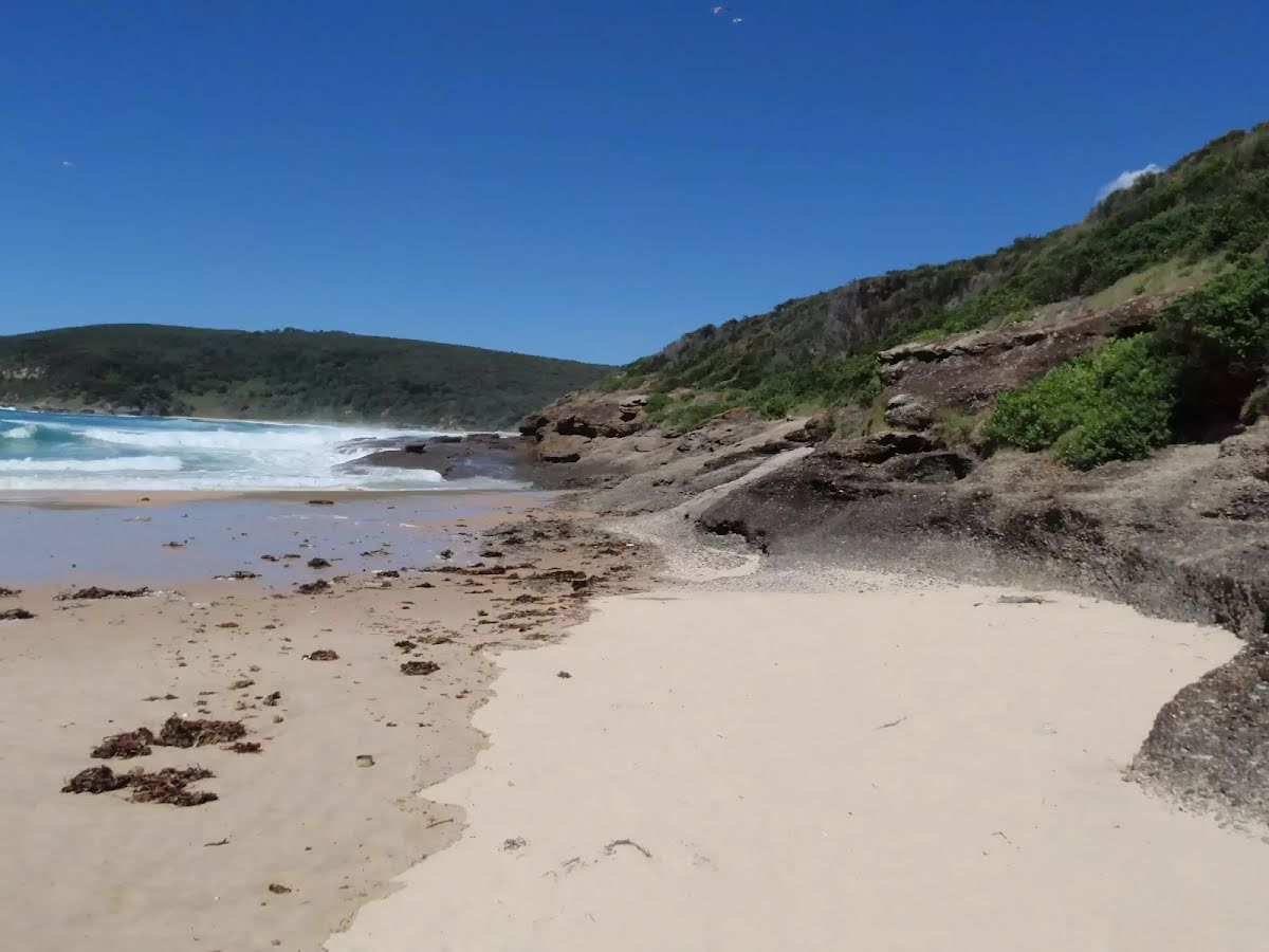
Closed areas: Timber Beach and Timber Beach walking track are CLOSED TO THE PUBLICTimber Beach walking track is permanently CLOSED TO THE PUBLIC. This area has high coastal risks and is extremely hazardous. This closure is in place to keep the public safe.
Penalties apply for non-compliance. For further information, please contact the local NPWS office on 49729000
Other planned events: Temporary access closures to trails at Middle Camp - Catherine Hill Bay - Munmorah State Conservation Area for external developer construction works.Middle Camp DA/2238/2017 - has begun works in the Catherine Hill Bay area adjacent to lands managed by Munmorah State Conservation Area. These works due to the location now has temporary closures to access trails for Munmorah SCA. This is necessary for the contractor managing this development in order to maintain a safe construction site and public safety.
NPWS apologises for the inconvenience and are unable to provide alternate access.
This temporary closure affects:
- Collier fire trail
- Powerline fire trail and
- Middle Camp fire trail
Please be advised that these closures will not stop access to fire vehicles in emergencies and does not cause a safety concern.
For more information, contact the local NPWS office on 4972 9000.
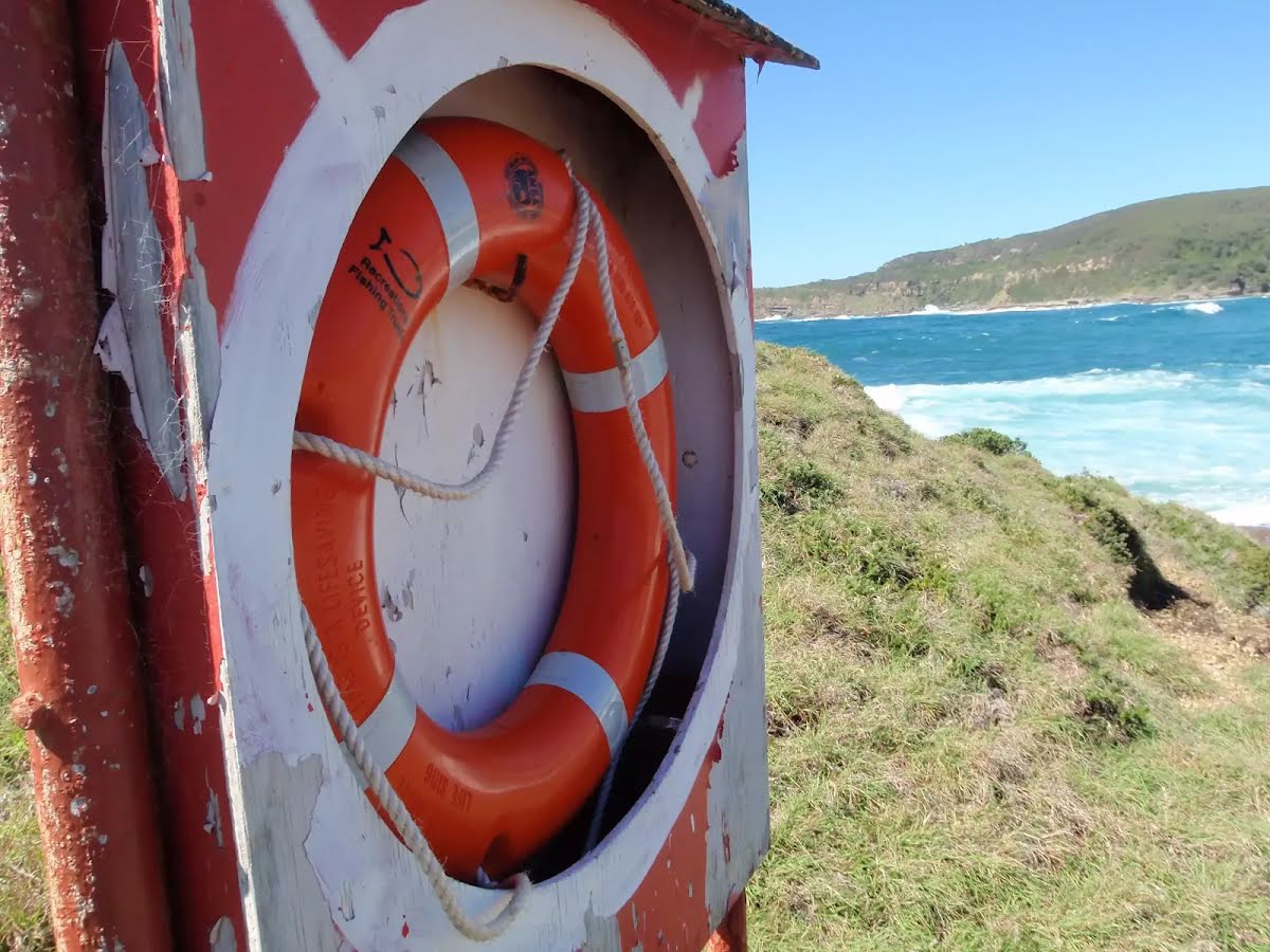
Safety alerts: Rock fishing safetyRock fishing is a popular activity for many national park visitors and your
safety whilst fishing is important. Parts of the NSW Central Coast are a declared
high risk area due to large swells and hazardous surf conditions. In these high risk areas under the NSW
Rock Fishing Safety Act 2016, you are required by law to wear an
appropriate life jacket. This includes children and anyone helping you fish. This is regulated by NSW Fisheries and poses an on the spot $100 fine if non-compliant.
Before rock fishing you should always:
Stay safe, always watch the local conditions, never turn your back on the ocean and never fish alone.
If you’re in doubt don’t go out.
Alert kindly provided by © NSW Nataional Parks and Wildlife Service