Start | (-33.5504,151.2745435) |
Mode | Bus Car (There is free parking available.) Ferry Special (There is no regular ferry service between Patonga and Brooklyn any more. You can easily grab a water taxi (about $80+). If you are part of a large group they can also organise a larger boat carrying 35 passengers (about $16 pp). Phone 0410 554 777 to book. Enjoy the boat ride.) |
Turn map | Directions & comments |
---|---|
|
|
|
![]() Patonga Village
Patonga Village
Patonga Village is a lovely small township on the Hawkesbury River. Just near the ferry wharf are a few helpful facilities:
The Eve Williams Memorial Oval, where you will find a large pavilion, drinking water and public toilets.
A fish and chips shop (and general store) is open reasonable hours, where you can buy lunch, a coffee and basic supplies (fishing needs, milk, canned food).
Patonga Beach Hotel is available for a cold drink at the bar or a meal on the deck, or even overnight accommodation (from $242 a couple) ph: 02 4379 1111.
+
-
Patonga Village is a lovely small township on the Hawkesbury River. Just near the ferry wharf are a few helpful facilities:
The Eve Williams Memorial Oval, where you will find a large pavilion, drinking water and public toilets.
A fish and chips shop (and general store) is open reasonable hours, where you can buy lunch, a coffee and basic supplies (fishing needs, milk, canned food).
Patonga Beach Hotel is available for a cold drink at the bar or a meal on the deck, or even overnight accommodation (from $242 a couple) ph: 02 4379 1111.
![]() |
|
![]() Warrah Reserve boat ramp
Warrah Reserve boat ramp
Warrah Reserve boat ramp provides a large car park and access to both the boat ramp and Patonga Beach. There are garbage bins, a picnic table and information board. The boat ramp offers good views along the beach to 'Dark Corner', found at the eastern end of Patonga Beach.
+
-
Warrah Reserve boat ramp provides a large car park and access to both the boat ramp and Patonga Beach. There are garbage bins, a picnic table and information board. The boat ramp offers good views along the beach to 'Dark Corner', found at the eastern end of Patonga Beach.
![]() |
|
![]() Broken Bay View
Broken Bay View
Broken Bay View is an informal, unnamed and unfenced vantage point at the top of the cliffs, east of Patonga. The large rock platform has a number of large Sydney Red Gums, providing some shade. There are great views across the Hawkesbury River, along Cowan Creek and to West Head. The views to the left extend past Lion Island to Barrenjoey Head and out to the Pacific Ocean.
+
-
Broken Bay View is an informal, unnamed and unfenced vantage point at the top of the cliffs, east of Patonga. The large rock platform has a number of large Sydney Red Gums, providing some shade. There are great views across the Hawkesbury River, along Cowan Creek and to West Head. The views to the left extend past Lion Island to Barrenjoey Head and out to the Pacific Ocean.
![]() |
|
|
|
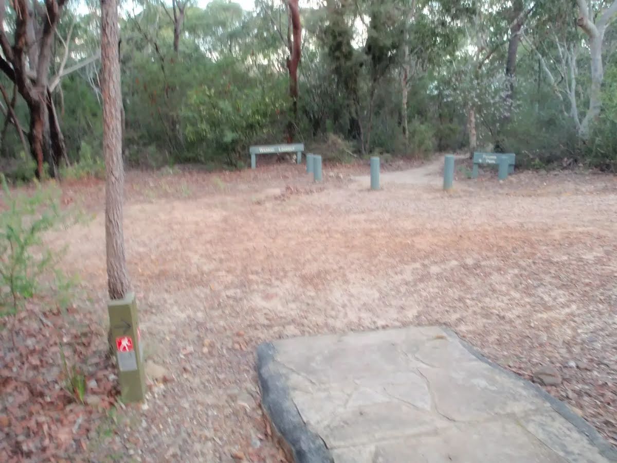
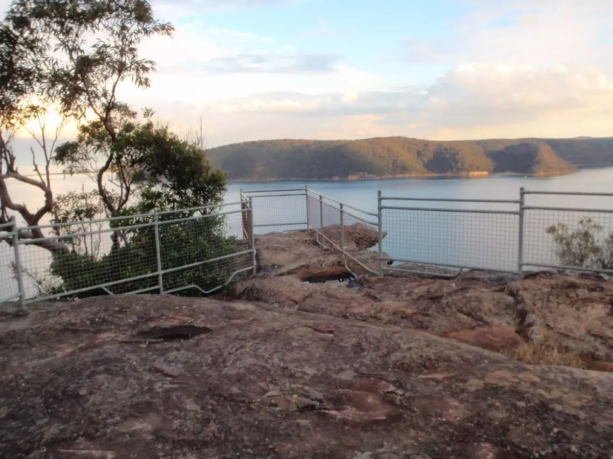
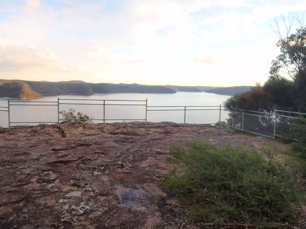
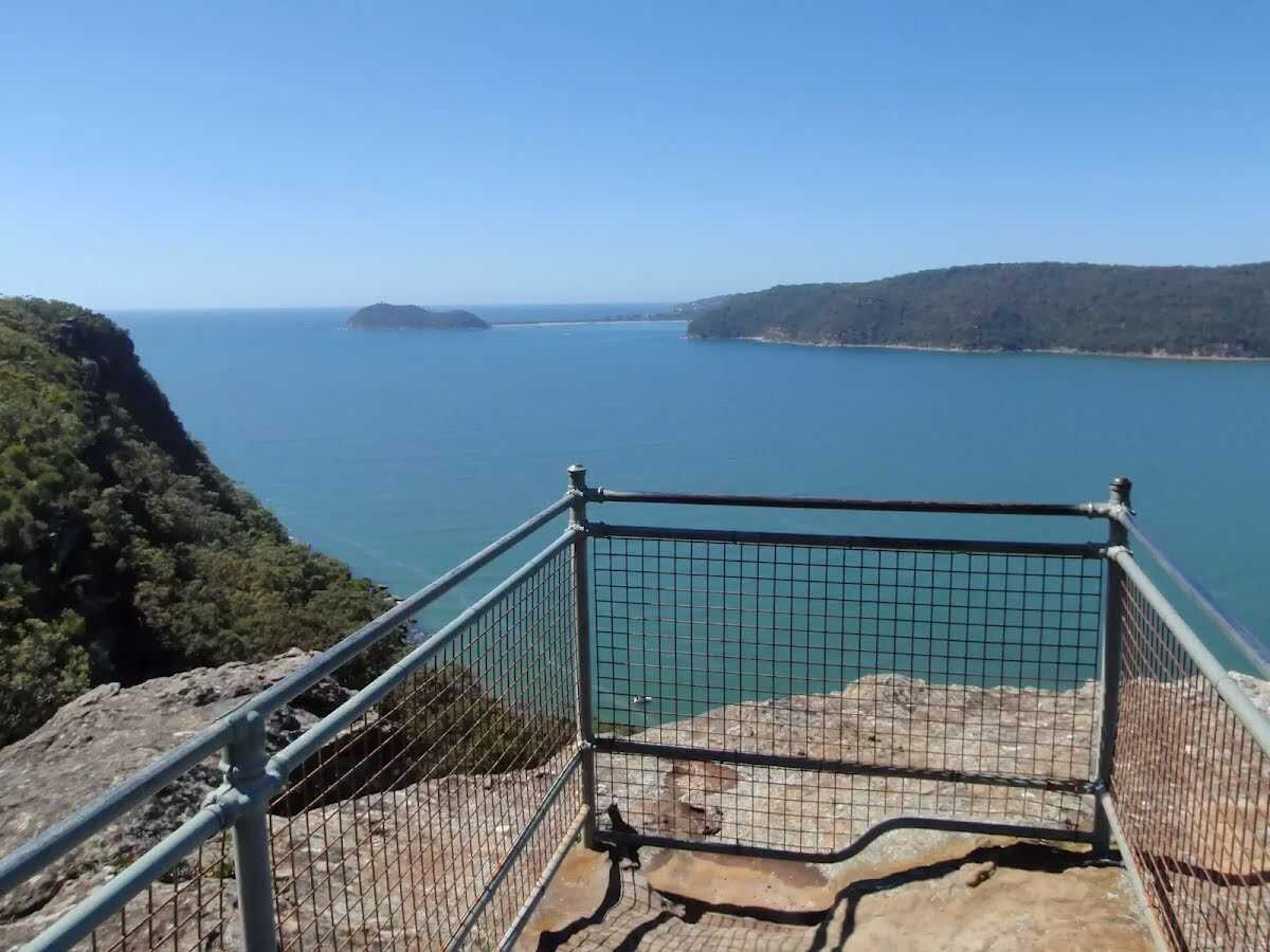
The starting point of an optional sidetrip. An optional side trip to Warrah Lookout. To start this optional side trip turn right here. On returning from this side trip veer right when you get back to this intersection. Details below.
|
|
![]() Warrah Trig Station
Warrah Trig Station
Warrah Trig Station is part of a national geodetic survey established during the 1970's. The 'Triangulation station' (aka trigonometrical or trig station) is a distinct marker once clear of trees, and would have been visible for many kilometers in the area. There are many such trig stations around Australia, which were used to help in surveying. Each station has a know position and altitude, which allows surveyors to use triangulation and determine another point's location. With advances in technology, these trig stations have been abandoned and superseded. The trig station is now surrounded by trees, with some filtered views along the Hawkesbury River. The area is rich with wildflowers in spring.
+
-
Warrah Trig Station is part of a national geodetic survey established during the 1970's. The 'Triangulation station' (aka trigonometrical or trig station) is a distinct marker once clear of trees, and would have been visible for many kilometers in the area. There are many such trig stations around Australia, which were used to help in surveying. Each station has a know position and altitude, which allows surveyors to use triangulation and determine another point's location. With advances in technology, these trig stations have been abandoned and superseded. The trig station is now surrounded by trees, with some filtered views along the Hawkesbury River. The area is rich with wildflowers in spring.
![]() |
|
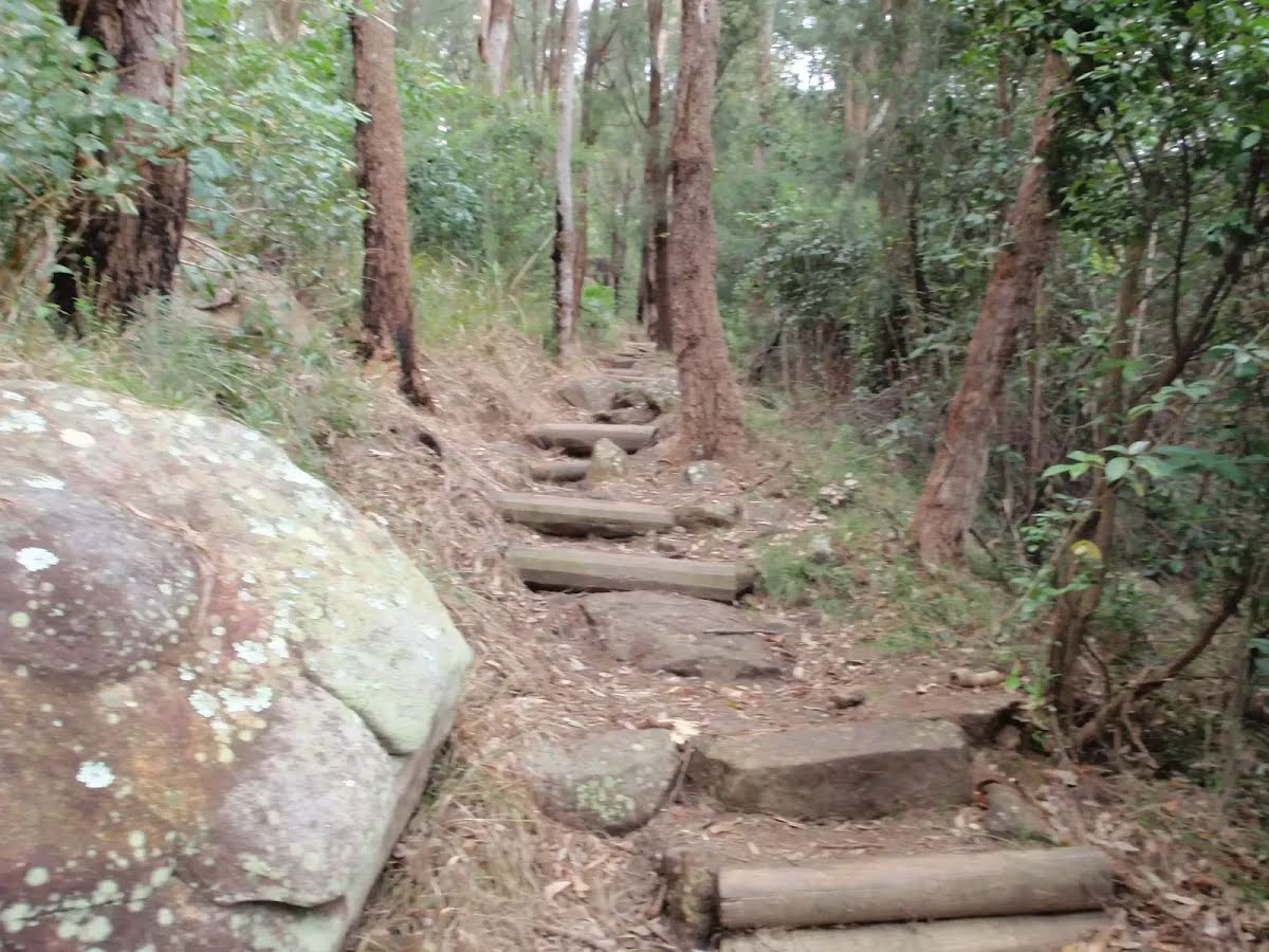
Class 3/6 Moderate track |
---|---|
Length | 4.1 km |
Time | 2 h to 4 h |
Quality of track | Clear and well formed track or trail (2/6) |
Gradient | Short steep hills (3/6) |
Signage | Directional signs along the way (3/6) |
Infrastructure | Limited facilities, not all cliffs are fenced (3/6) |
Experience Required | No experience required (1/6) |
Weather | Weather generally has little impact on safety (1/6) |
Item | From Start | Name & link to notes |
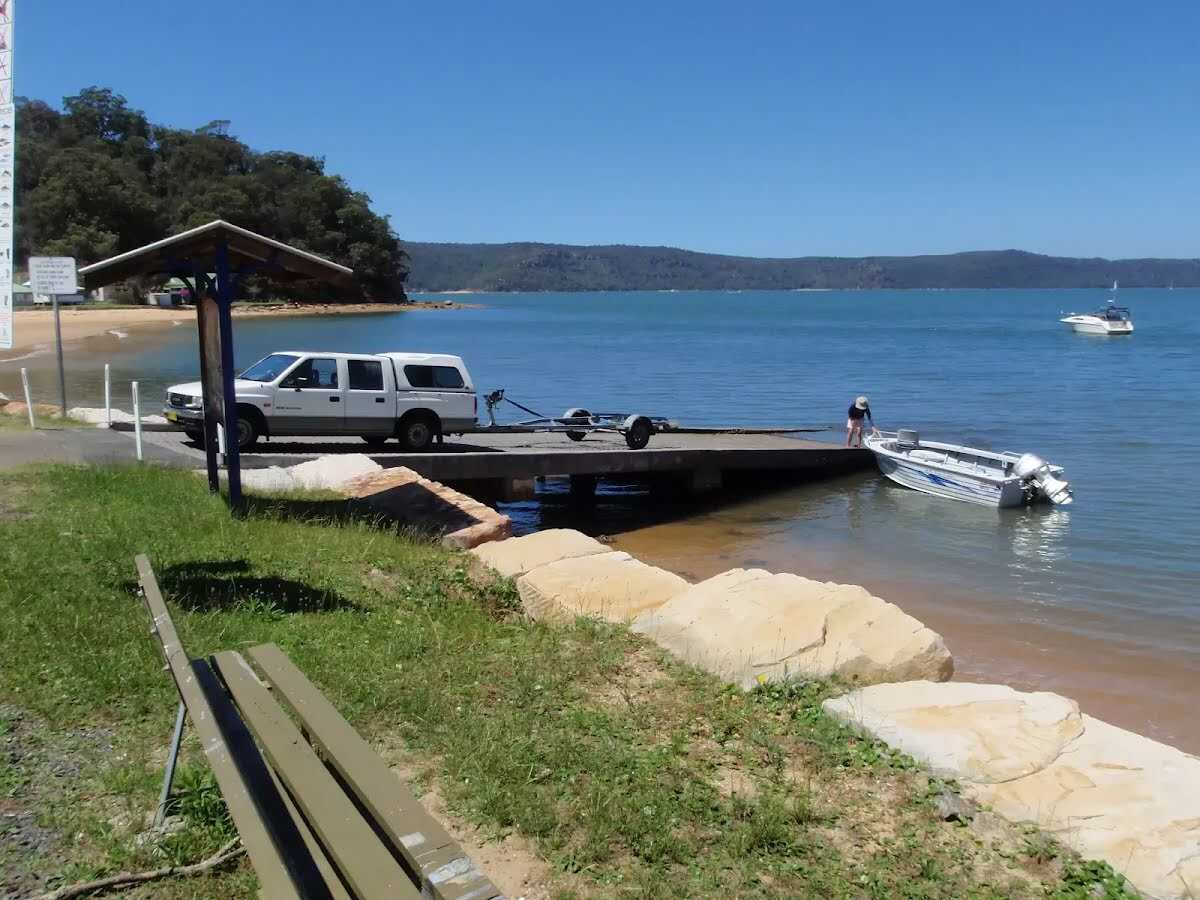
---|---|---|
Toilet
| 160 m | [toilet] |
Shelter
| 225 m | [shelter] |