Sheldon Cascades walk

10 min to 15 min

360 m
return

↑ 3 m
↓ -3 m

Easy track
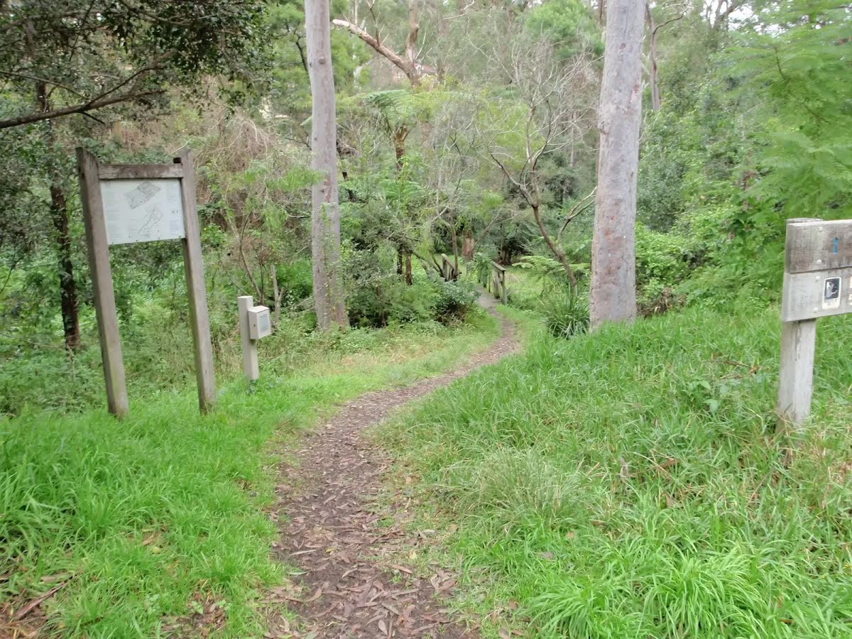
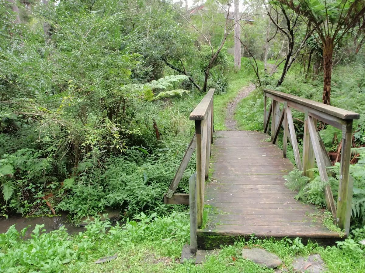
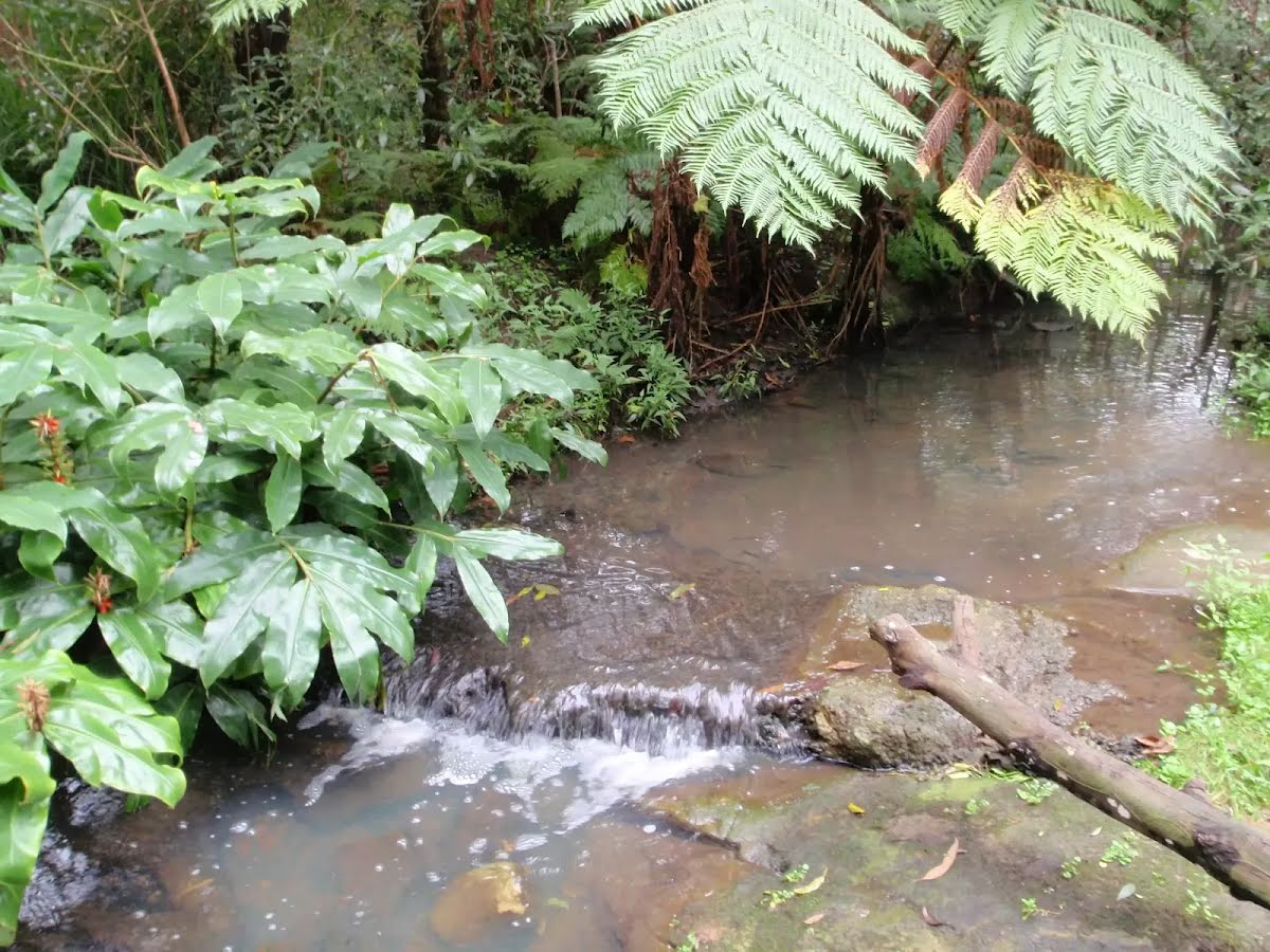
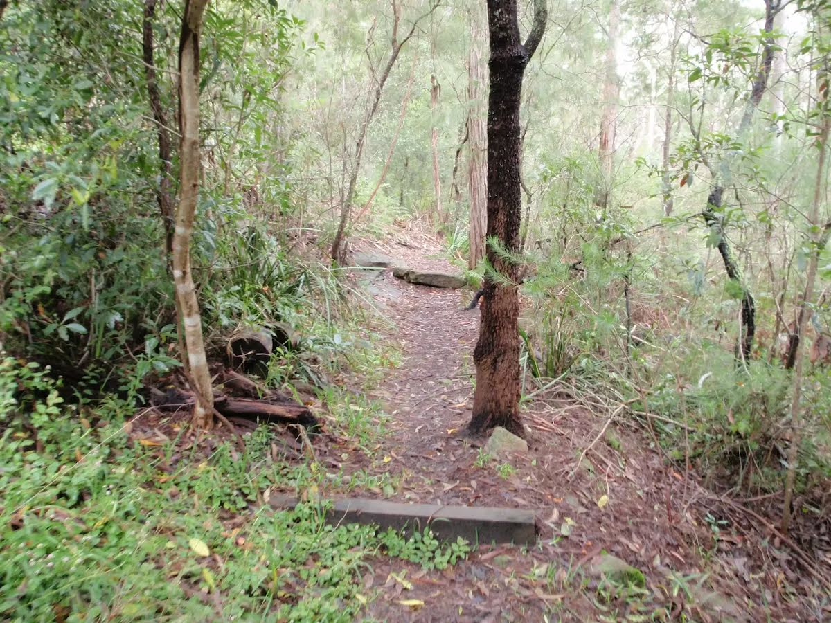
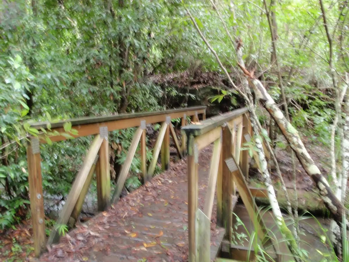
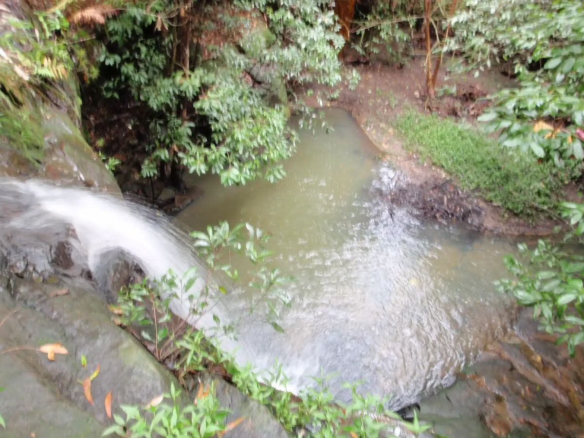
This short walk explores a set of cascades, finishing at the top of a small waterfall. From the road, the walk follows the creek to a bridge just near the waterfall. You will often see rosellas feeding in the clearing near the first bridge. Let us begin by acknowledging the Traditional Custodians of the land on which we travel today, and pay our respects to their Elders past and present.
Show all
Track head at Troon Pl. | Photo by admin, 2008.
Bridge over small stream near Troon place. | Photo by admin, 2008.
Small Cascade on creek. | Photo by admin, 2008.
The track between the houses and creek. | Photo by admin, 2008.
A blury bridge. | Photo by admin, 2008.
Waterfall. | Photo by admin, 2008.
Downloads GPX PDF

+
-
Safer Bushwalks
Tips on staying safe on track
Before you start any bushwalk ensure you;
• Tell someone you trust where you are going and what to do if you are overdue
• Have adequate equipment, supplies, skills & knowledge for the whole journey
• Consider the impact of weather forecasts, park/track closures & fire dangers
• Can respond to emergencies & call for help at any point
• Are healthy and fit enough for this journey
If not, change plans and stay safe. It is okay to delay and ask people for help.
+
-
Getting There
Transport options and directions
Start (-33.7477648,151.1278878)
Mode Bus Car (There is free parking available.)
DirectionsFrom Pacific Highway, A1
  • Turn on to Beechworth Road then drive for 960 m
  • Turn left onto Dakara Close and drive for another 140 m
  • Turn left onto Dakara Close and drive for another 50 m
  • Turn right onto Saint Andrews Drive and drive for another 140 m
  • Turn right onto Troon Place and drive for another 35 m
+
-
Track Notes
Turn by turn instructions & maps
Getting started
From Troon Place (before road bridge), this walk follows the 'Sheldon Forest Track' sign down the track. The walk crosses the wooden bridge into the small clearing. The track then follows behind some houses and the river bed until it arrives at another bridge near a waterfall.....
Turn map Directions & comments
Start.
Find the Rofe Park at the start.
After another 160 m cross the bridge
Turn around here and retrace the main route for 180 m to get back to the start.
+
-
Terrain
Know the Hills, grading & facilities

Sheldon Cascades walk


Grading
Class 2/6
Easy track
Length 360 m
Time 10 min to 15 min
Quality of track Clear and well formed track or trail (2/6)
Gradient Gentle hills with occasional steps (2/6)
Signage Clearly signposted (1/6)
Infrastructure Generally useful facilities (such as fenced cliffs and seats) (1/6)
Experience Required No experience required (1/6)
Weather Weather generally has little impact on safety (1/6)
+
-
Articles
Discover more details to thrive on track
Get more information
Wildwalks
+
-
Reviews & Feedback
Share your experience
+
-
Weather & Alerts
Check forecasts & closures
Show Full Weather
Alerts and Closures
Show all alerts
Show all alerts
Show all alerts
+
-
Other Journeys
Discover nearby and similar journeys
Some of the information and maps on this page was generated using data from the awesome © OpenStreetMap contributors.
Please see how you can embed some widgets, access data and other stuff to that might be helpful.