| Start | (-36.5042278,148.3045161) |
| Mode | Car (A park entry fee is required for driving into the park.) |
| Directions | From Monaro Highway, A23, District of Tuggeranong.
|
| Turn map | Directions & comments |
|---|---|
 |
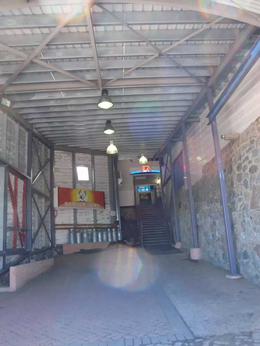
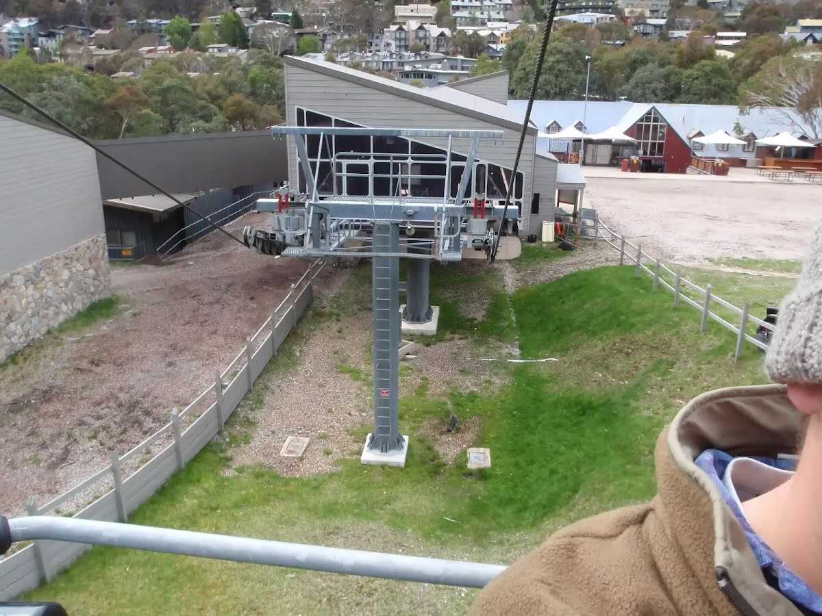 This is one of the few lifts operating in the summer months at Thredbo, and is made quite popular by thousands of people walking to the summit of Mt Kosciuszko each year. Lift tickets can be purchased from the store at the bottom of the chairlift. Lift tickets are $31 return ($25 one way) per person. This lift is generally closed during November and May for maintenance each year, but the the Snowgum chair can be used at this time instead, this will add extra walking time to you walk.
|
 |
|
 |
|
 |
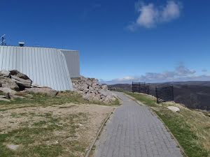
 This is Australia's highest restaurant, providing great food and outstanding views. It is easily accessible, nestled on the mountain directly opposite the top of the Kosciuszko Express chairlift, and is open year-round. For more information, call (02) 64576019.
|
 |
|
 |
|
 |
The starting point of an optional sidetrip. An optional side trip to Kosciuszko lookout. To start this optional side trip turn right here. On returning from this side trip turn sharp right when you get back to this intersection. Details below.
|
 |
|
 |
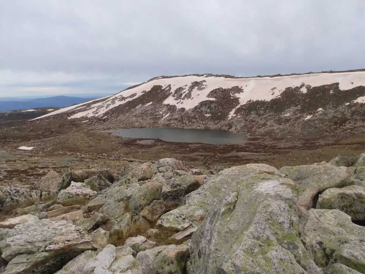
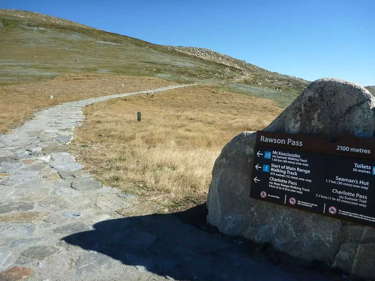 Rawson Pass is where the old Kosciuszko Road, from Charlotte Pass, meets the metal walkway from Thredbo. It is home to the highest public toilet in Australia, this recently-added facility is perfectly positioned for those taking the walk up to the top of Kosciuszko. Rawson Pass is well signposted and 500m southeast of Mt Kosciuszko (by a straight line). There is also a place to park mountain bikes for those cycling along the old road from Charlotte Pass.
|
 |
|
 |
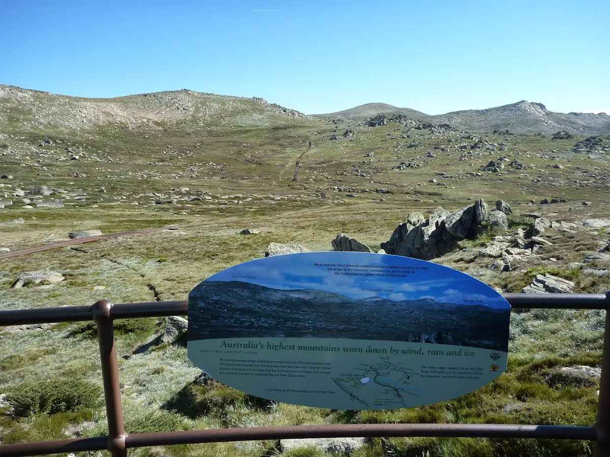
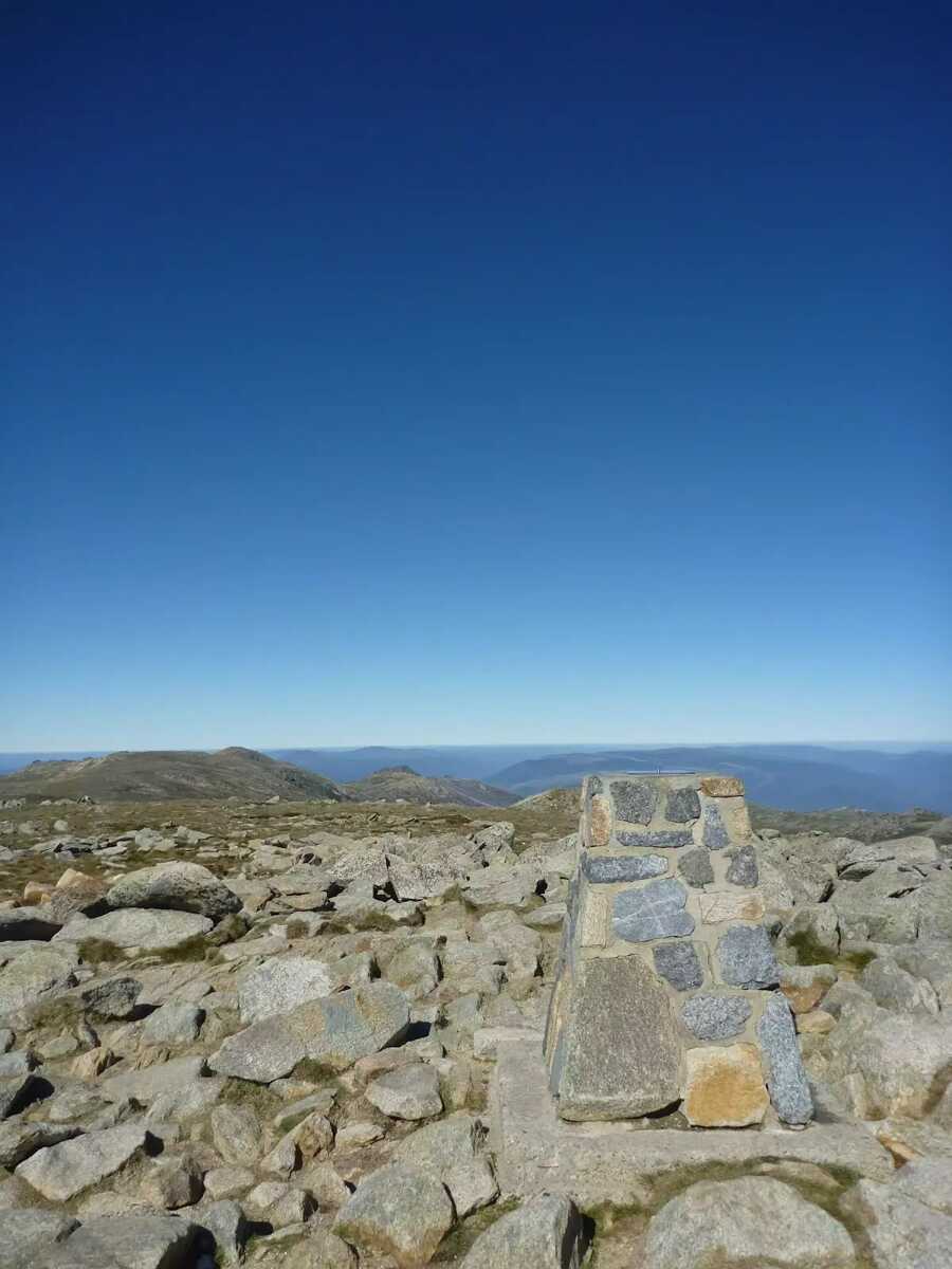 Mt Kosciuszko is the highest peak on the Australian continent, at 2228m above sea level. It was named by the Polish explorer Count Paul Edmund Strzelecki and named in honour of the Polish national hero General Tadeusz Kościuszko. Now a popular tourist attraction, thousands of people walk up to the summit each year. On a clear day, the 360-degree views from the summit across the roof of Australia are fantastic. There are higher mountains elsewhere on Australian territory. 'The highest mountains in Australian Antarctic Territory are Mt McClintock (3490 meters) and Mt Menzies (3355 meters).' .
|
 |

|
|
Class 4/6 Hard track |
|---|---|
| Length | 16.2 km |
| Time | 4 h to 5 h |
| Quality of track | Clear and well formed track or trail (2/6) |
| Gradient | Short steep hills (3/6) |
| Signage | Clearly signposted (1/6) |
| Infrastructure | Generally useful facilities (such as fenced cliffs and seats) (1/6) |
| Experience Required | No experience required (1/6) |
| Weather | Foretasted & unexpected storms and severe weather may impact on navigation and safety (4/6) |
| Item | From Start | Name & link to notes |
|---|---|---|
Toilet
| 80 m | [toilet] |
Toilet
| 85 m | [toilet] |
Shelter
| 115 m | [shelter] |
Toilet
| 2 km | [toilet] |