| Turn map |
Directions & comments |
|
|

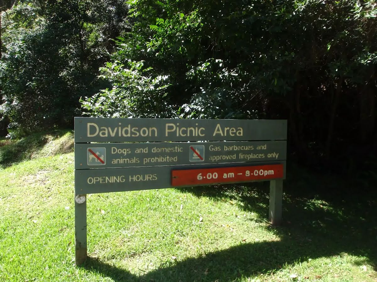
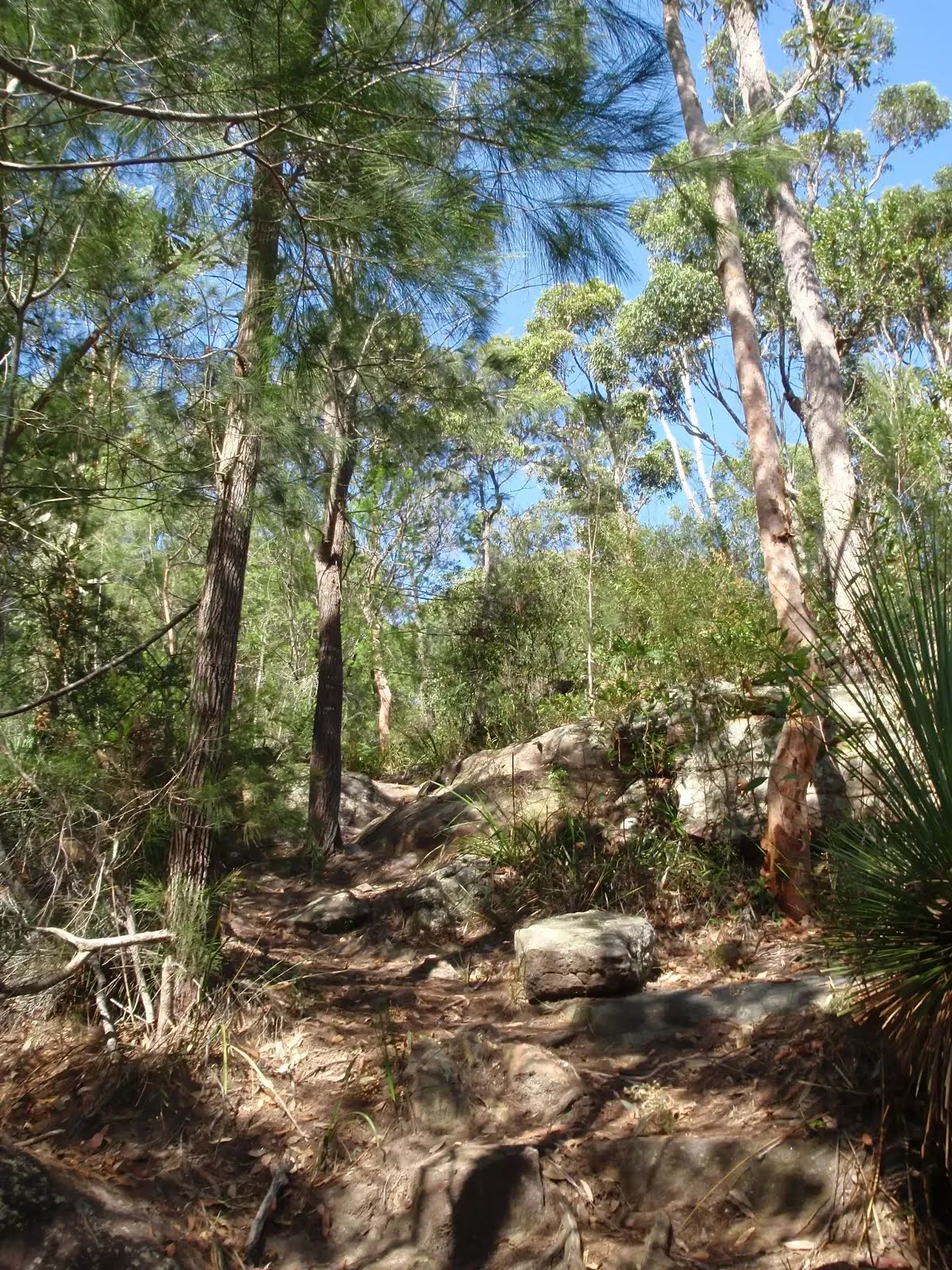
Start.
|
|
|

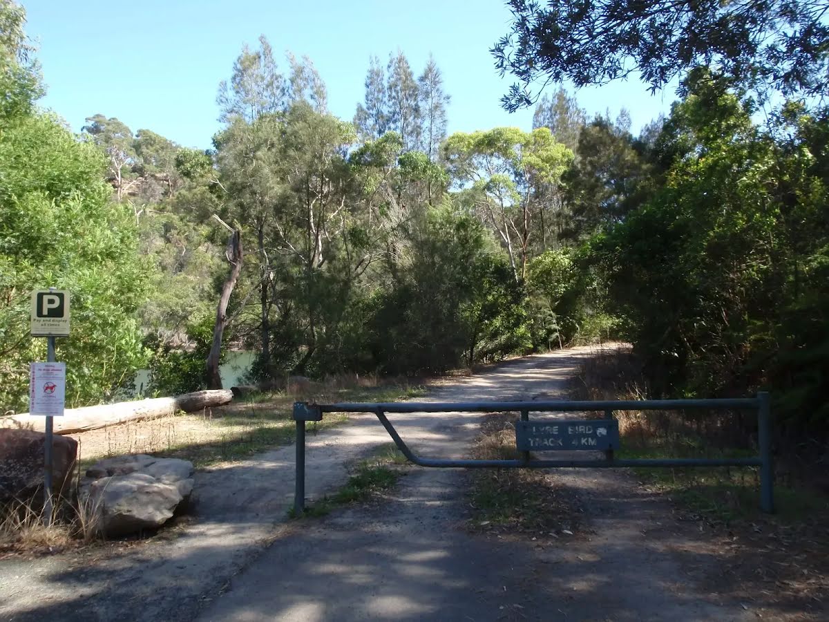
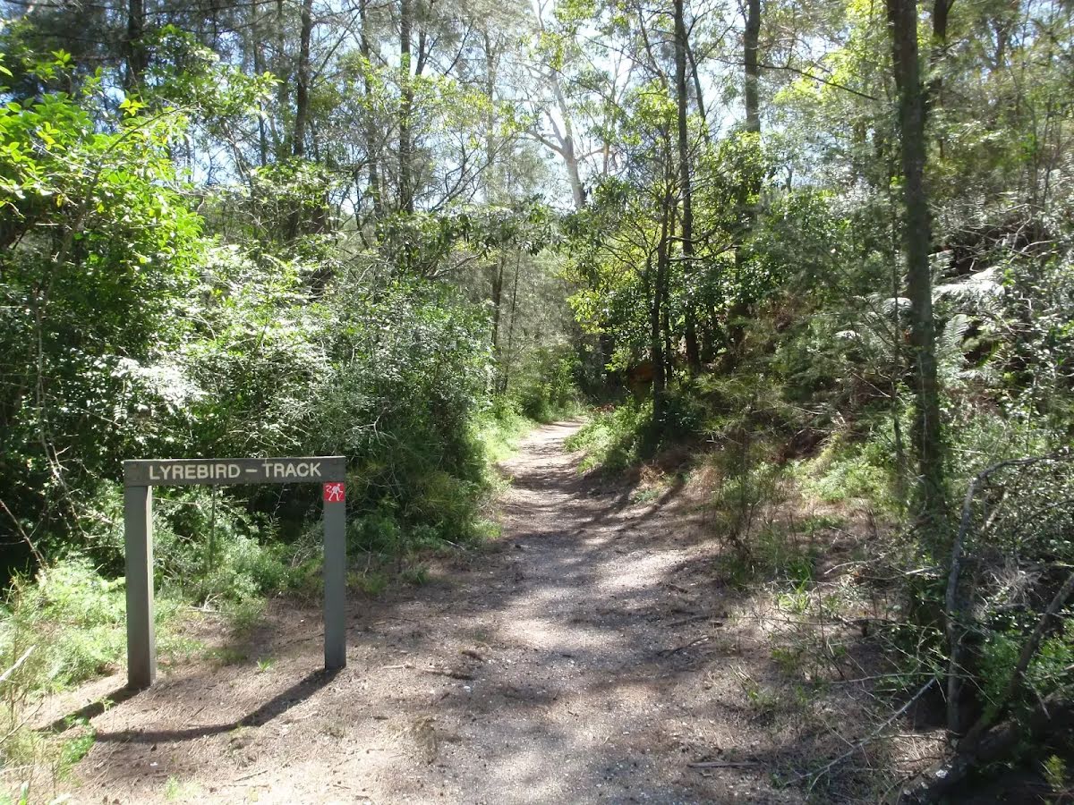
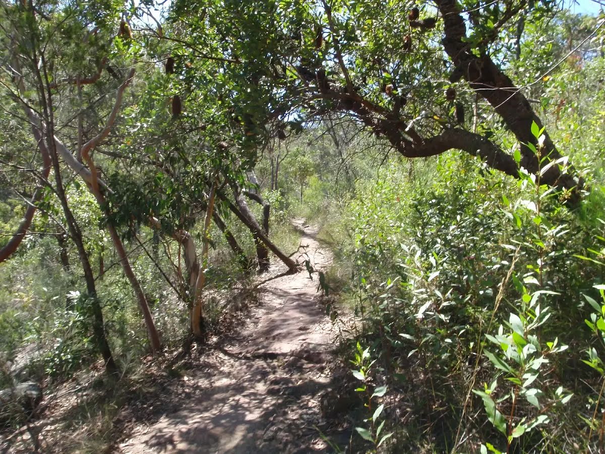
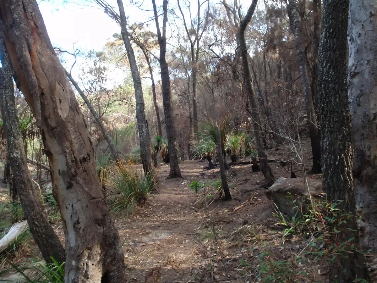
After another 1.3 km (from the Lyrebird Track) continue straight, to head along Lyrebird Track.
After another 810 m (from the Lyrebird Track) continue straight, to head along Lyrebird Track.
|
|
|

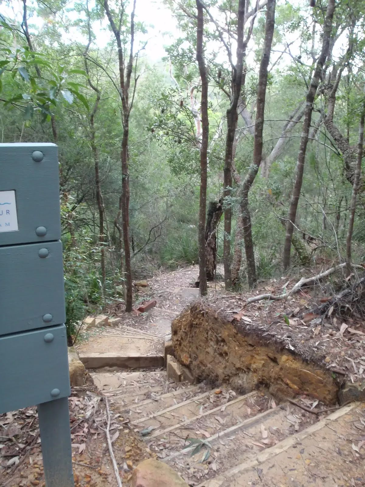
After another 530 m (at the intersection of Carroll Creek Track & Lyrebird Track) turn left, to head along Governor Philip Track (a footpath).

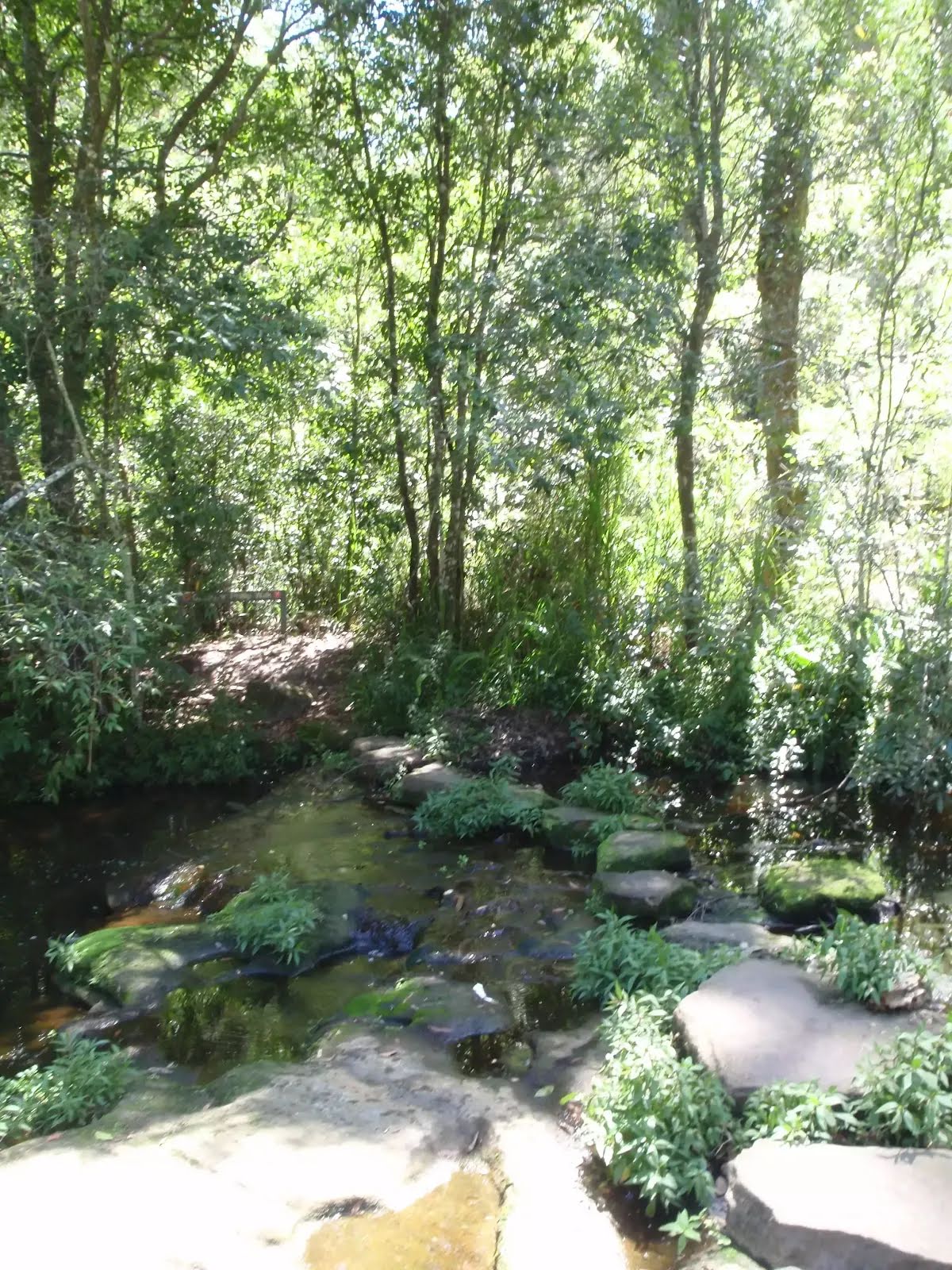
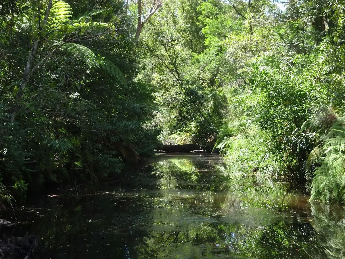
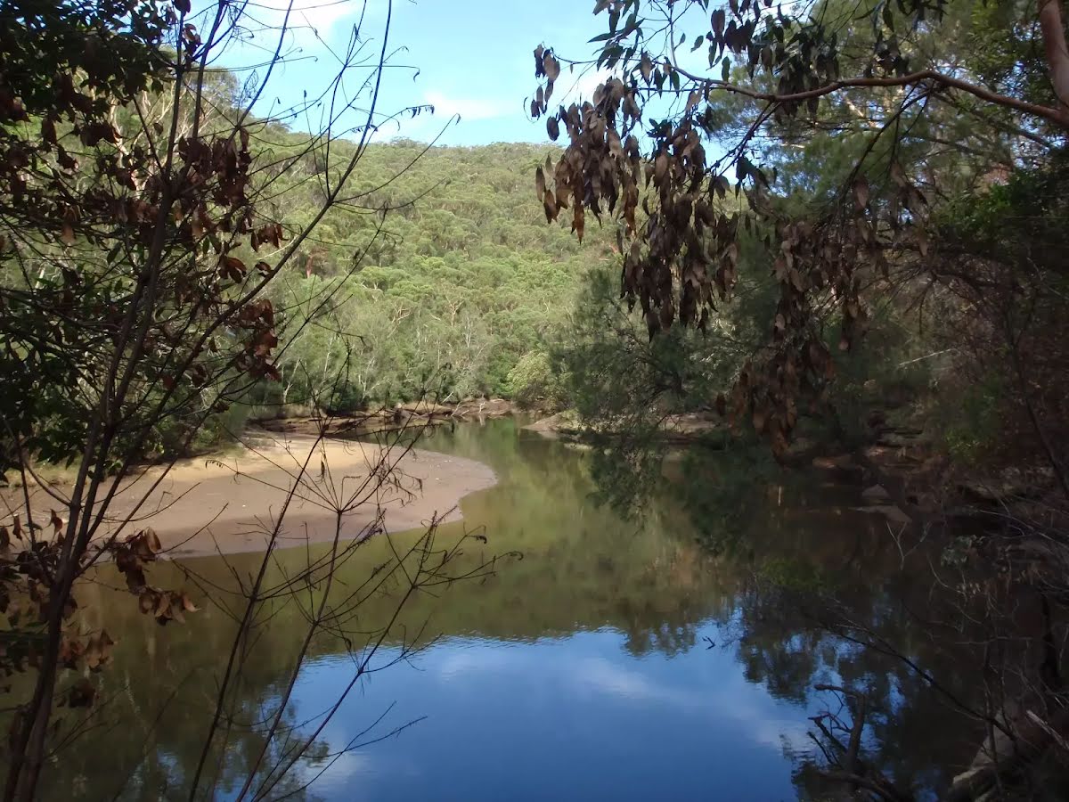
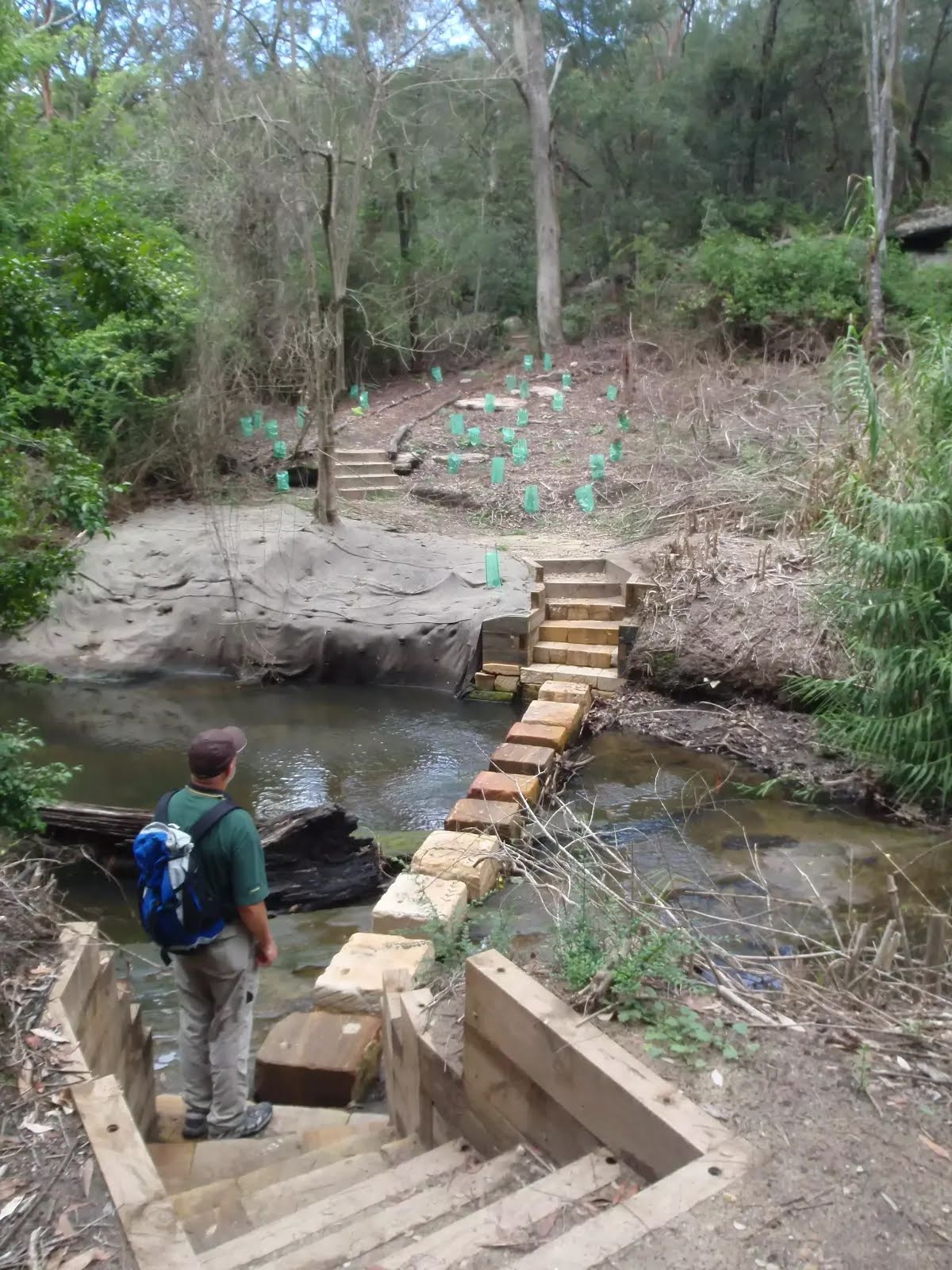
After another 9 m cross the stepping stones (about 10 m long)
After another 1.6 km (at the intersection of Pipeline track & Governor Philip Track) continue straight, to head along Governor Philip Track.
|
|
|
After another 690 m (at the intersection of Governor Philip Track & Bungaroo Crossing) turn left, to head along Bungaroo Crossing (a footpath).
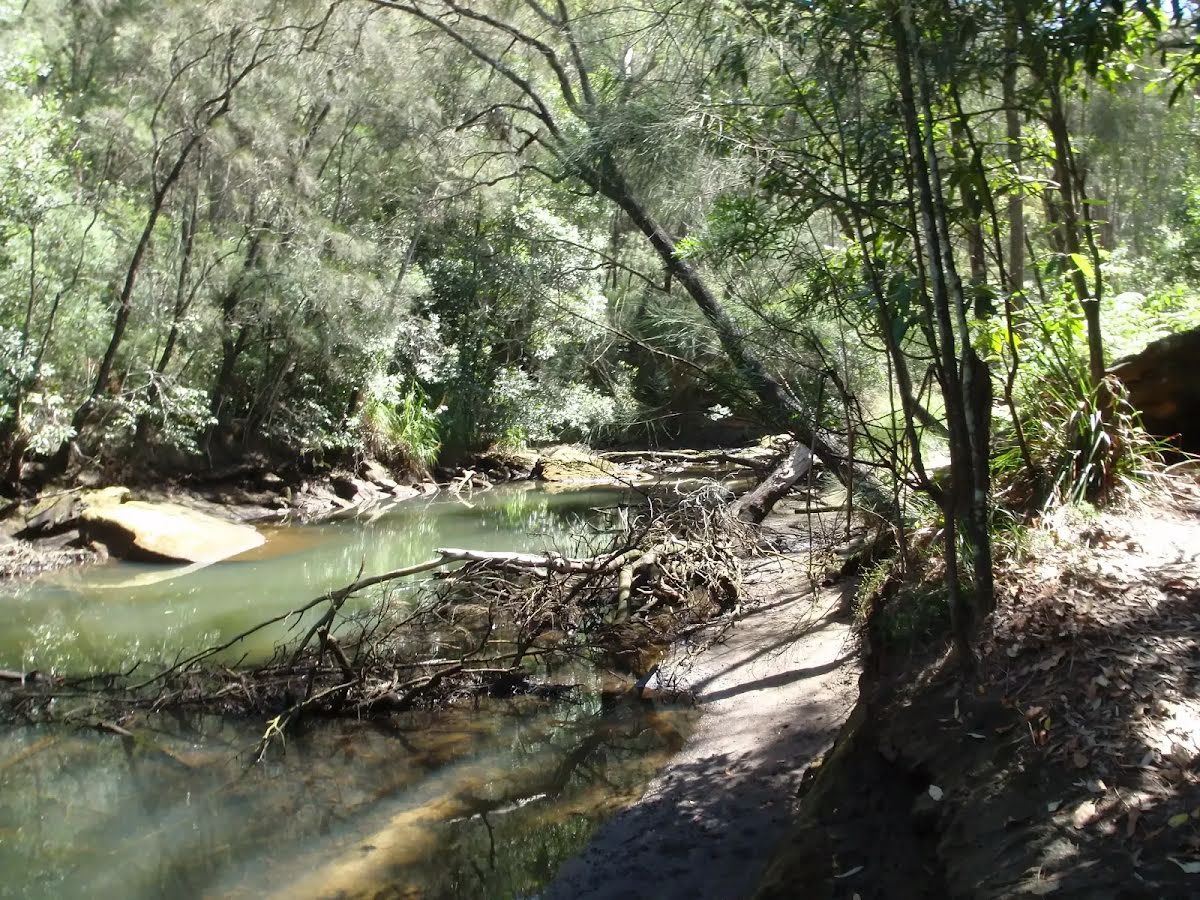
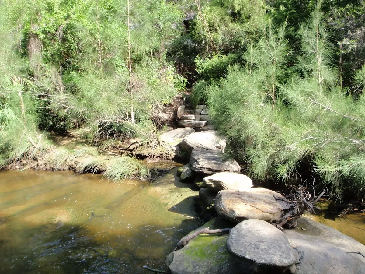
Then cross the stepping stones (about 30 m long)

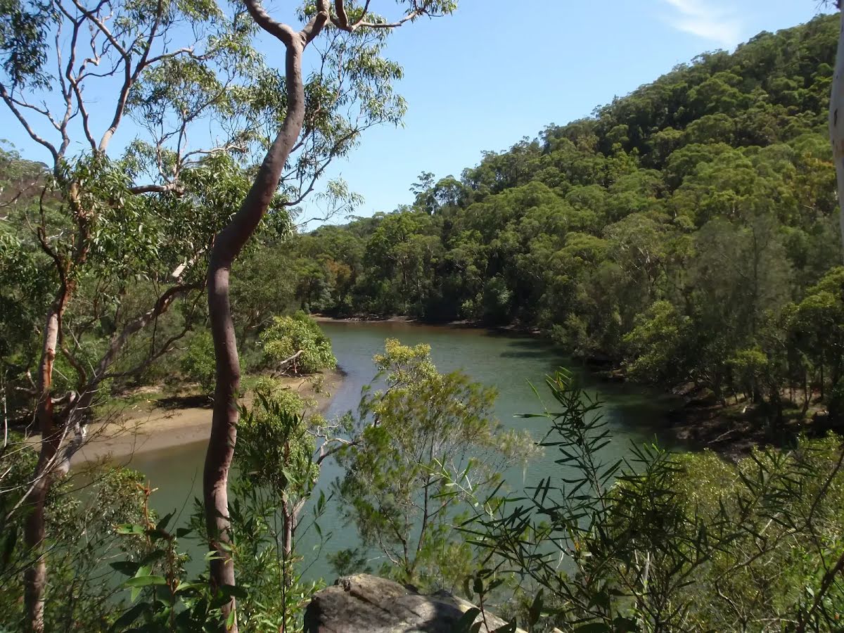
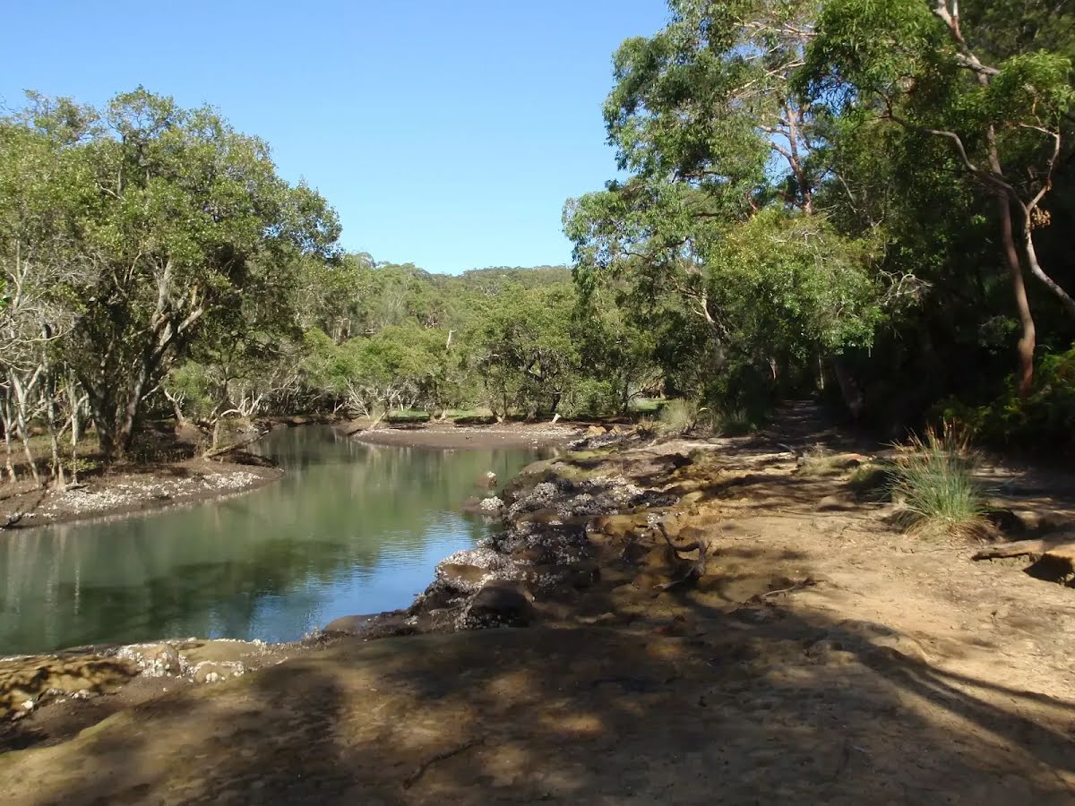
After another 55 m find the "Bungaroo" (20 m on your right).
|
|
|
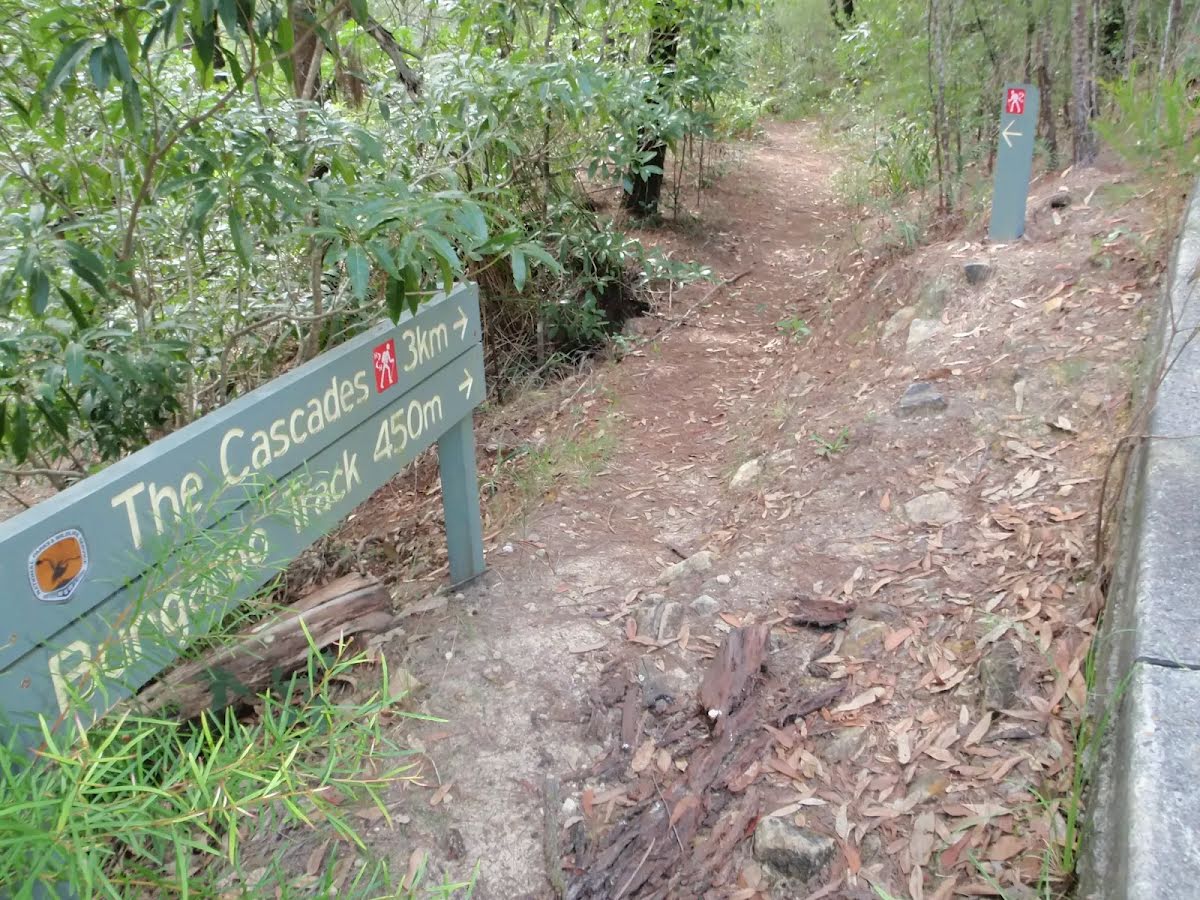
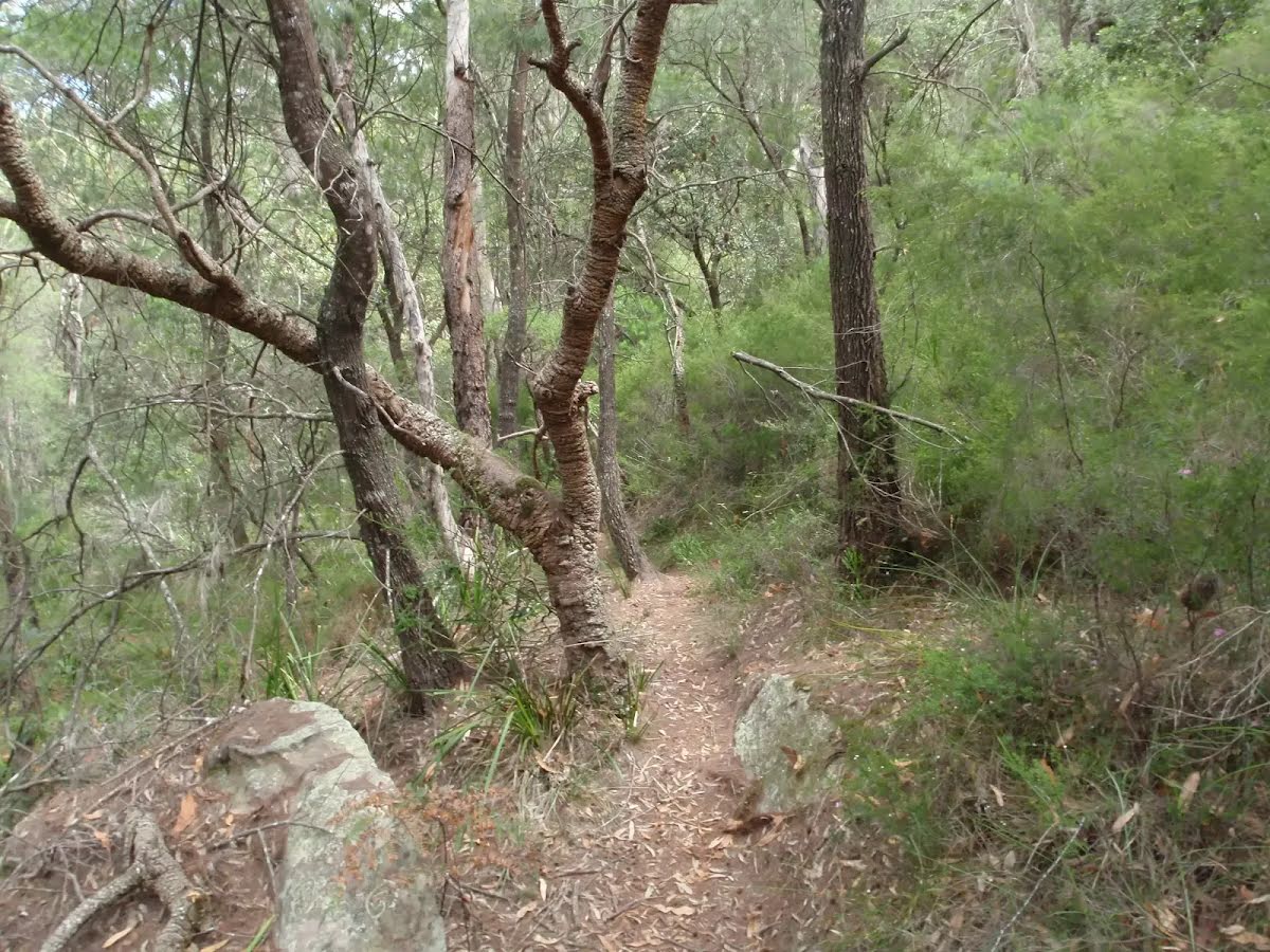
After another 145 m (from the Bungaroo Track) continue straight.

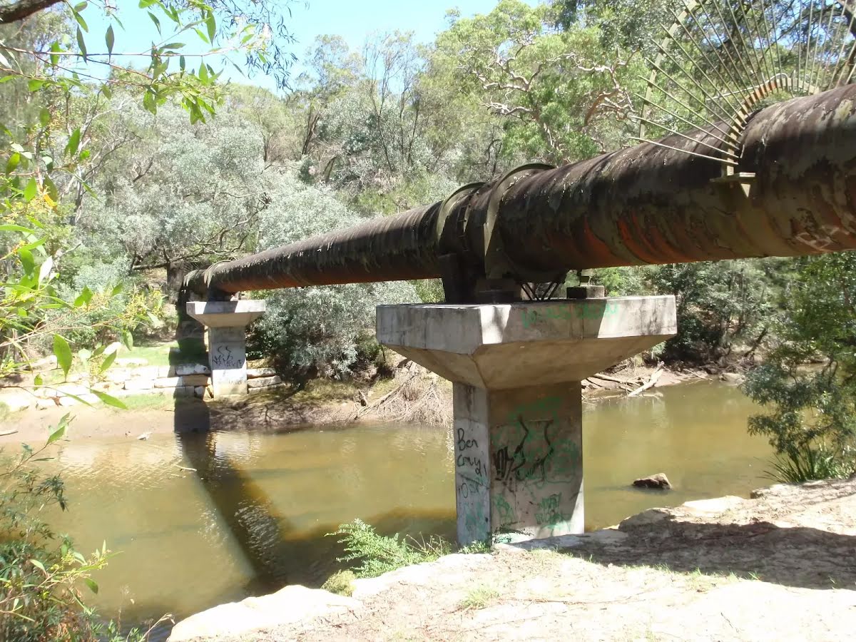
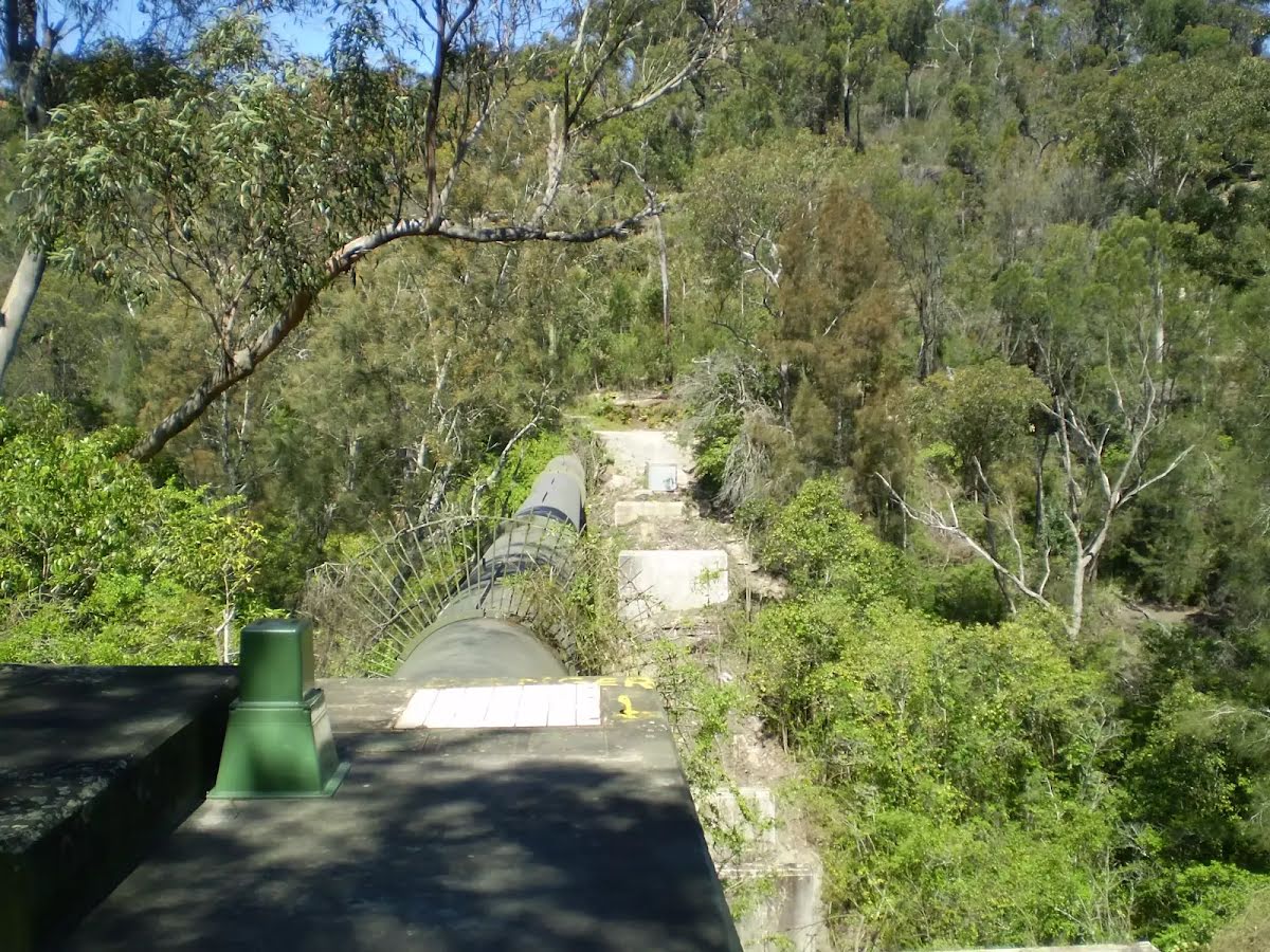
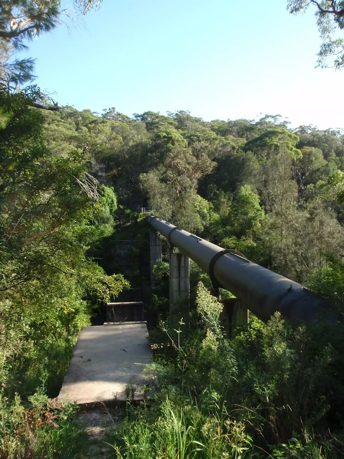
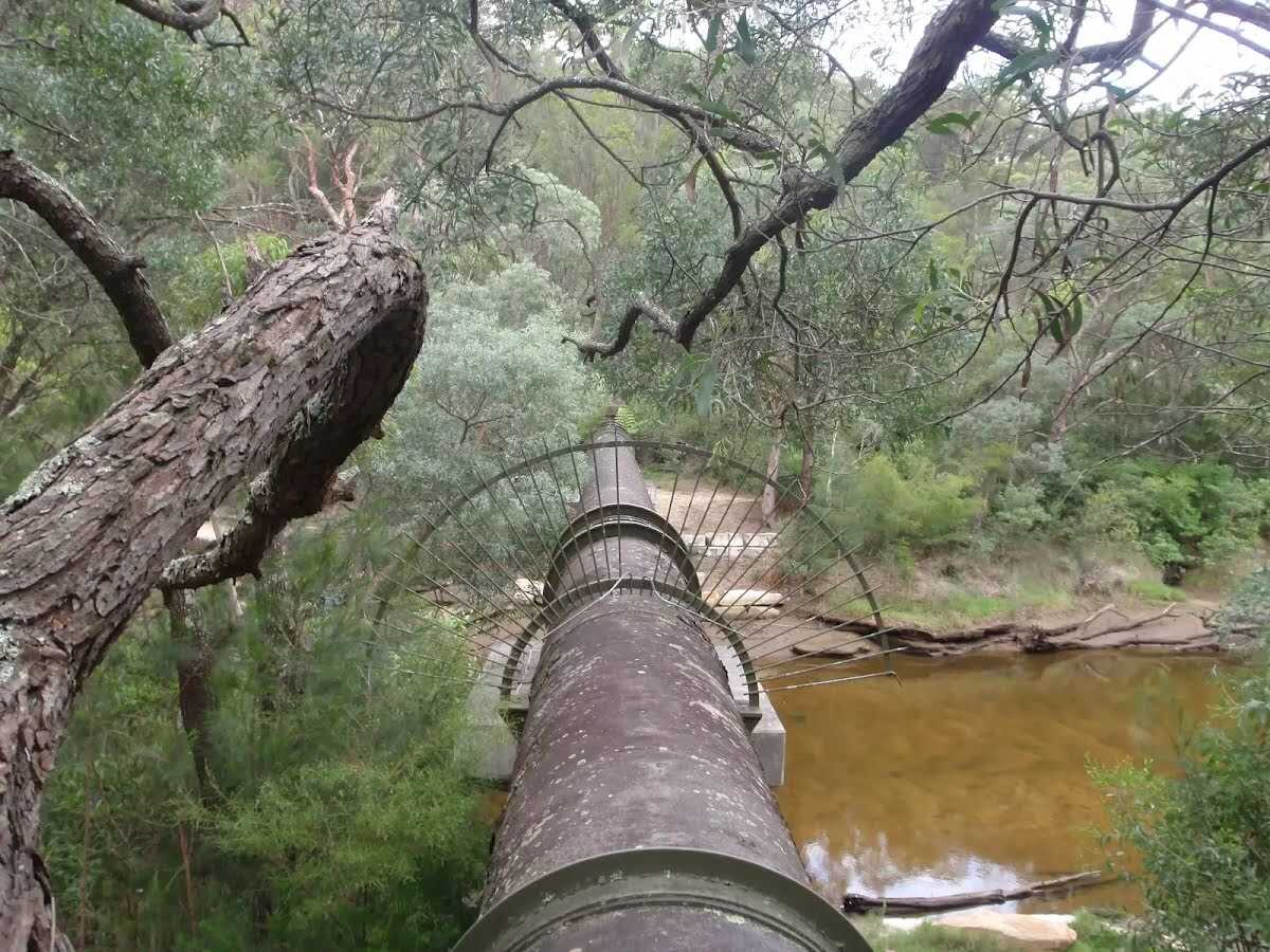
After another 490 m find the "Pipeline" (on your right).
|
|
|
From the Pipeline track continue straight.
After another 1.2 km continue straight.

After another 460 m pass the waterfall (15 m on your right).
|
|
|
After another 900 m (from the Barrie Street Track) continue straight, to head along Barrie Street Track.
|
|
|
After another 285 m (at the intersection of Barrie Street Track & Gordon Creek Track) turn left, to head along Gordon Creek Track.
After another 70 m cross the stepping stones (about 8 m long)
|
|
|
After another 145 m (at the intersection of Two Creeks Track & Gordon Creek Track) turn left, to head along Two Creeks Track (a vehicle track).

After another 215 m pass the "Gordon Creek Bridge" (6 m on your left).

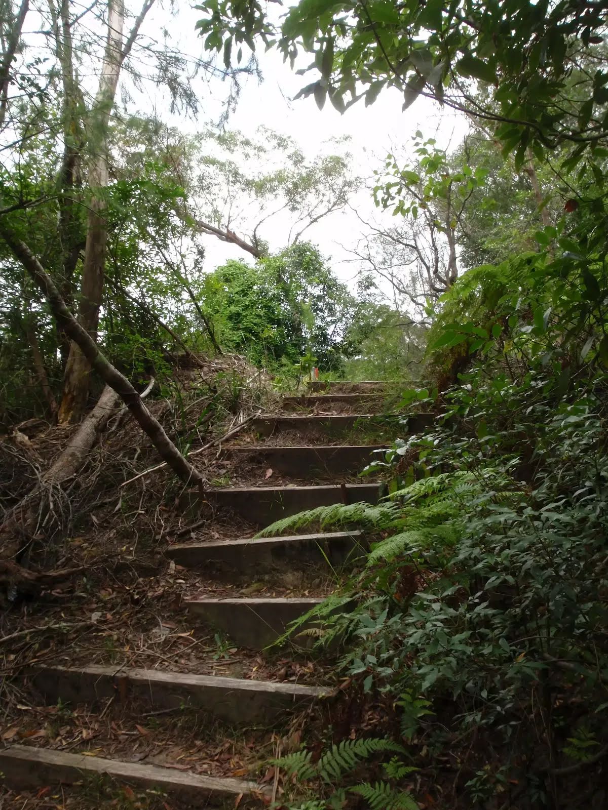
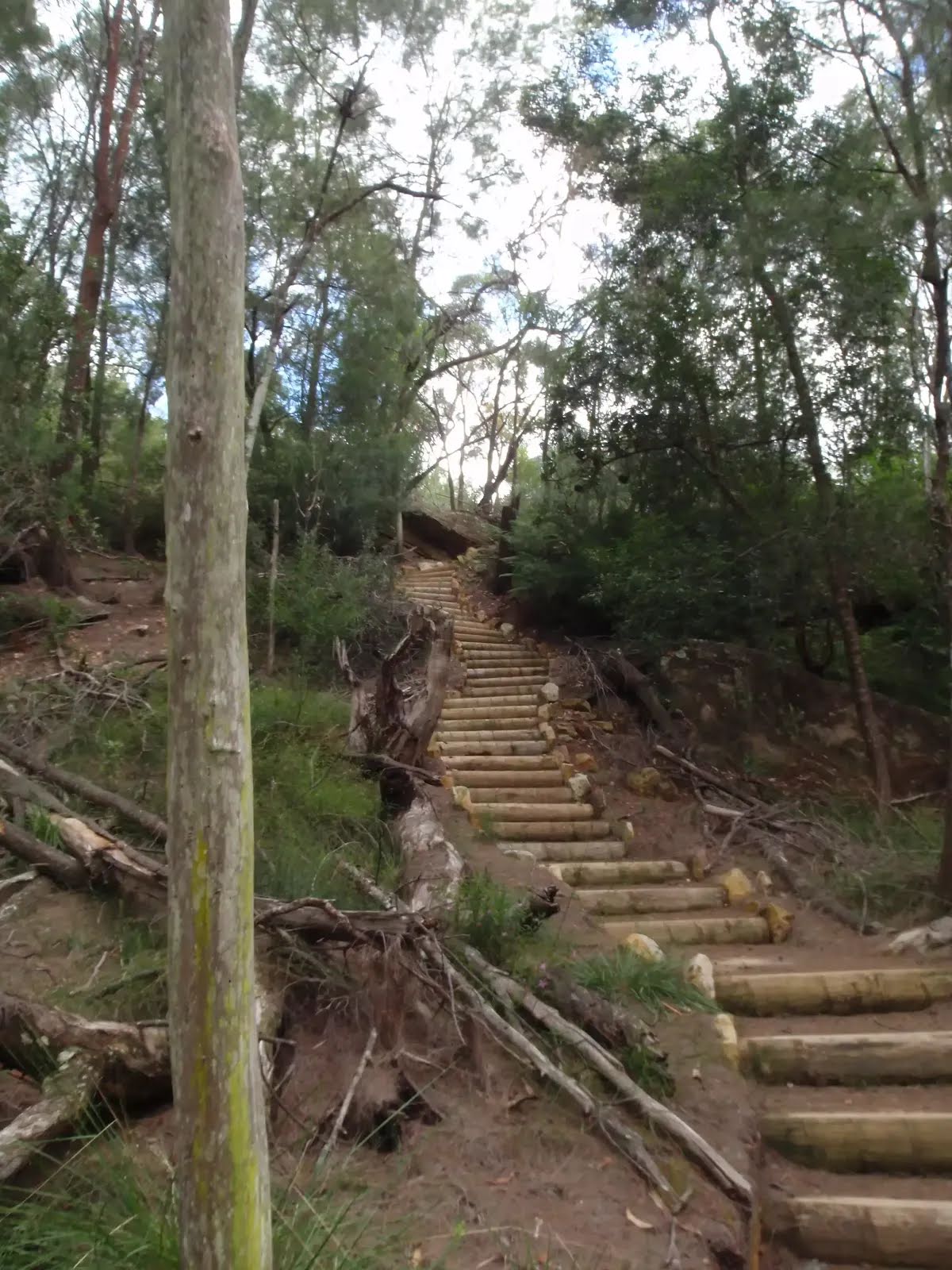
After another 60 m head up the earthen steps (about 45 m long)
After another 55 m head up the earthen steps (about 20 m long)

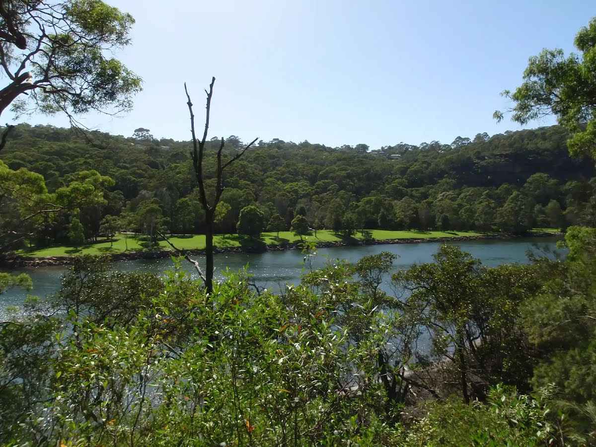
After another 190 m come to the viewpoint.
|
|
|

After another 1.1 km (at the intersection of Two Creeks Track & Manuwi Track) veer right, to head along Two Creeks Track.
After another 400 m pass the "World War 1" (on your left).
After another 100 m (from the Two Creeks Track) continue straight, to head along Two Creeks Track.

After another 145 m pass the shelter (on your right).

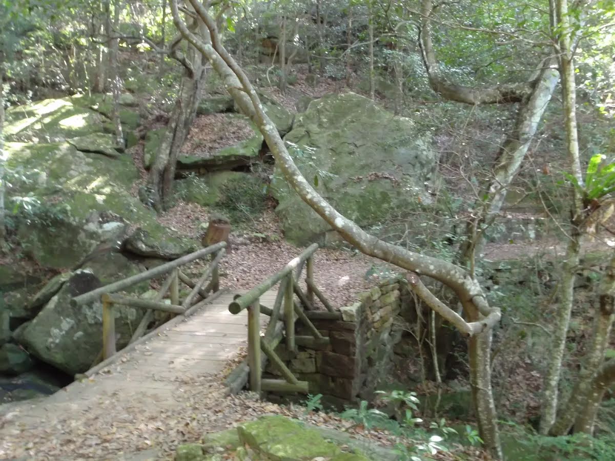
After another 70 m cross the bridge (about 15 m long)
After another 15 m pass the waterfall (9 m on your right).
|
|
|
After another 120 m (at the intersection of Little Digger Track & Two Creeks Track) turn left, to head along Two Creeks Track.

After another 140 m pass a seat (on your right)., has a backrest.
Then cross the bridge (about 10 m long)
|
|
|
After another 830 m (from the Two Creeks Track) by following the "To Ormonde Road" sign continue straight (a steps).
Then head up the earthen steps (about 120 m long)
|
|
|
After another 140 m (at the intersection of Ormonde Road & Chase Avenue) continue straight, to head along Ormonde Road.
After another 185 m (at the intersection of Ormonde Road & Cardigan Road) continue straight, to head along Ormonde Road.
|
|
|
After another 110 m (at the intersection of Ormonde Road & The Kingsway) continue straight, to head along Ormonde Road.
|
|
|
After another 130 m (at the intersection of Ormonde Road Exit & Ormonde Road) continue straight, to head along Malga Avenue.
|
|
|

After another 10 m (at the intersection of Warringah Road & Malga Avenue) turn right, to head along Warringah Road (a highway|trunk_link).
|
|
|
After another 120 m (from the Warringah Road) continue straight, to head along Warringah Road (a highway|trunk).
|
|
|

After another 190 m (from the Warringah Road) veer left (a highway|cycleway).

After another 90 m head through the bollard.
Continue straight.
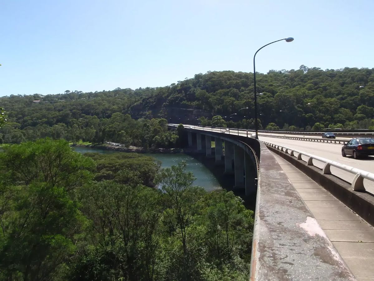
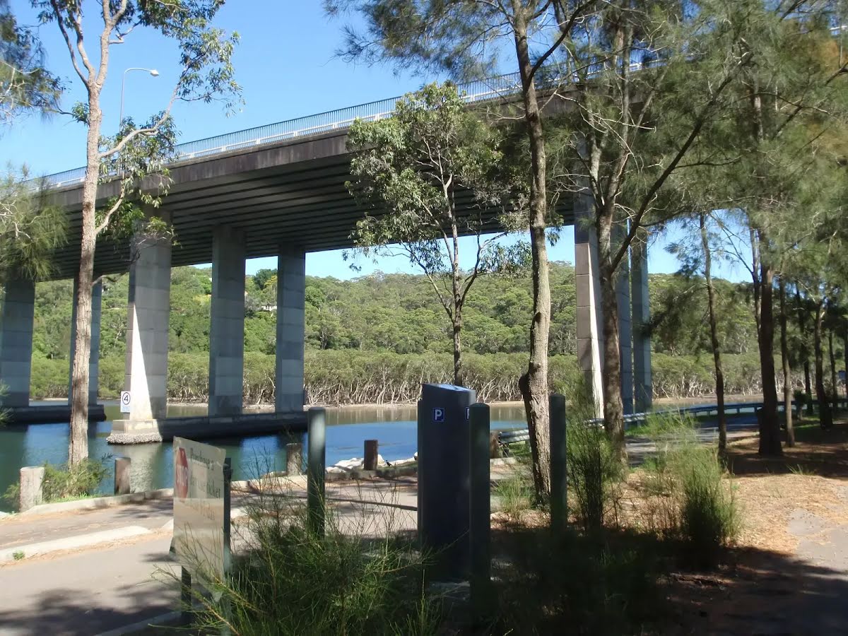
After another 40 m cross the bridge (about 440 m long)
|
|
|
After another 60 m (from the Healey Way) turn left, to head along Healey Way (a highway|trunk_link).
|
|
|
After another 290 m (from the Healey Way) turn right, to head along Healey Way (a vehicle track).

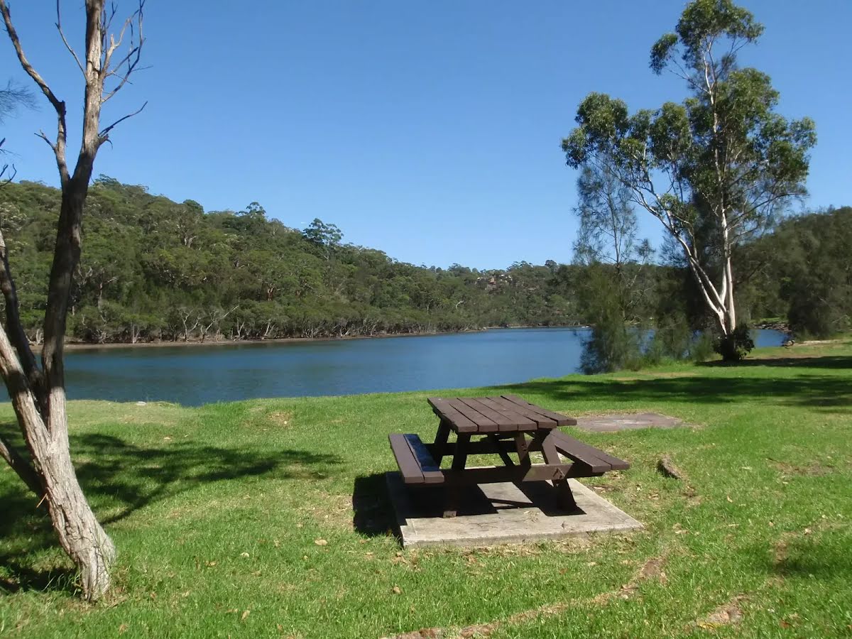
After another 430 m pass the picnic table (30 m on your left).
|
|
|
After another 150 m (from the Healey Way) continue straight, to head along Healey Way.

After another 65 m pass the toilet (20 m on your left).
After another 80 m pass the shelter (25 m on your left).

After another 370 m pass the water tap (25 m on your left).
|
|
|

After another 6 m come to the end.
|