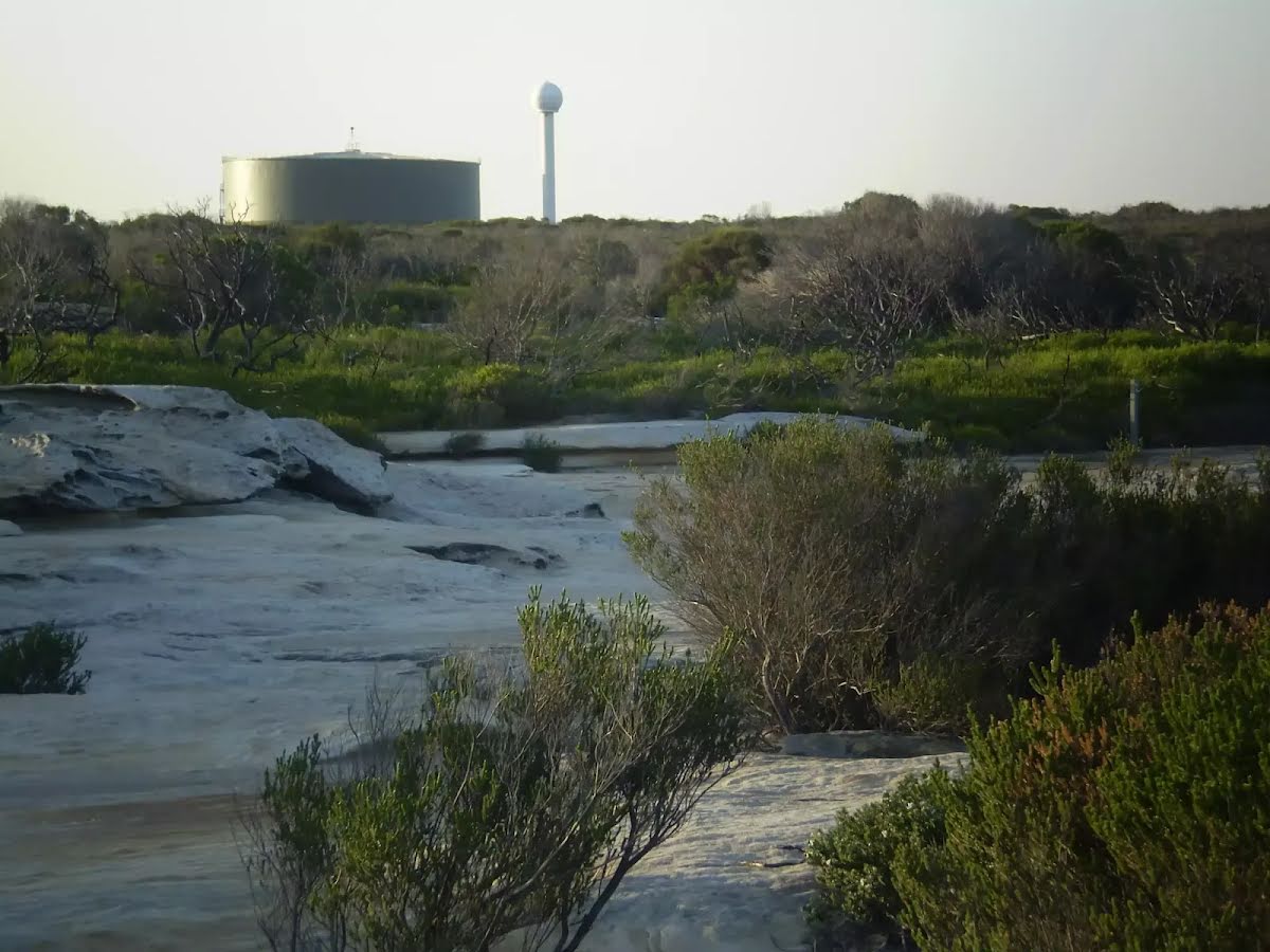
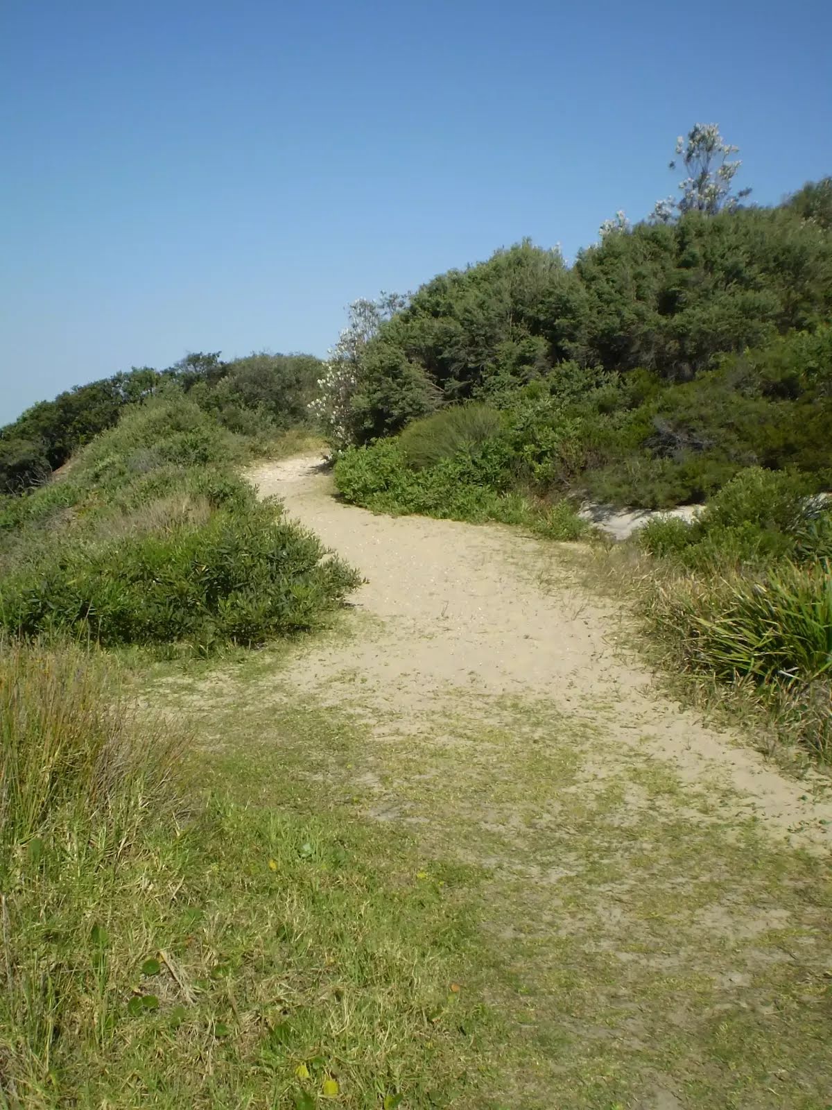
Closed areas: Commemoration Flat amenities block closedFrom March to August 2024, contractors will be demolishing and replacing the amenities block at Commemoration Flat and upgrading the associated services. During these construction works, the northern part of Commemoration Flat carpark and the amenities block will be fenced off and occupied, and work crews will be on site.
Toilets will remain available at the visitors centre and cricket pitch area. The surrounding picnic areas and barbecue facilities will continue to be accessible during construction.
We apologise for any inconvenience.
For more information,
email or call the NPWS Sydney South office on 02 9668 2010.
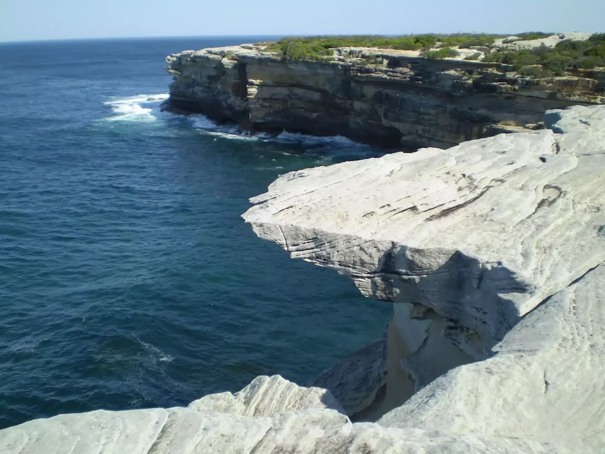
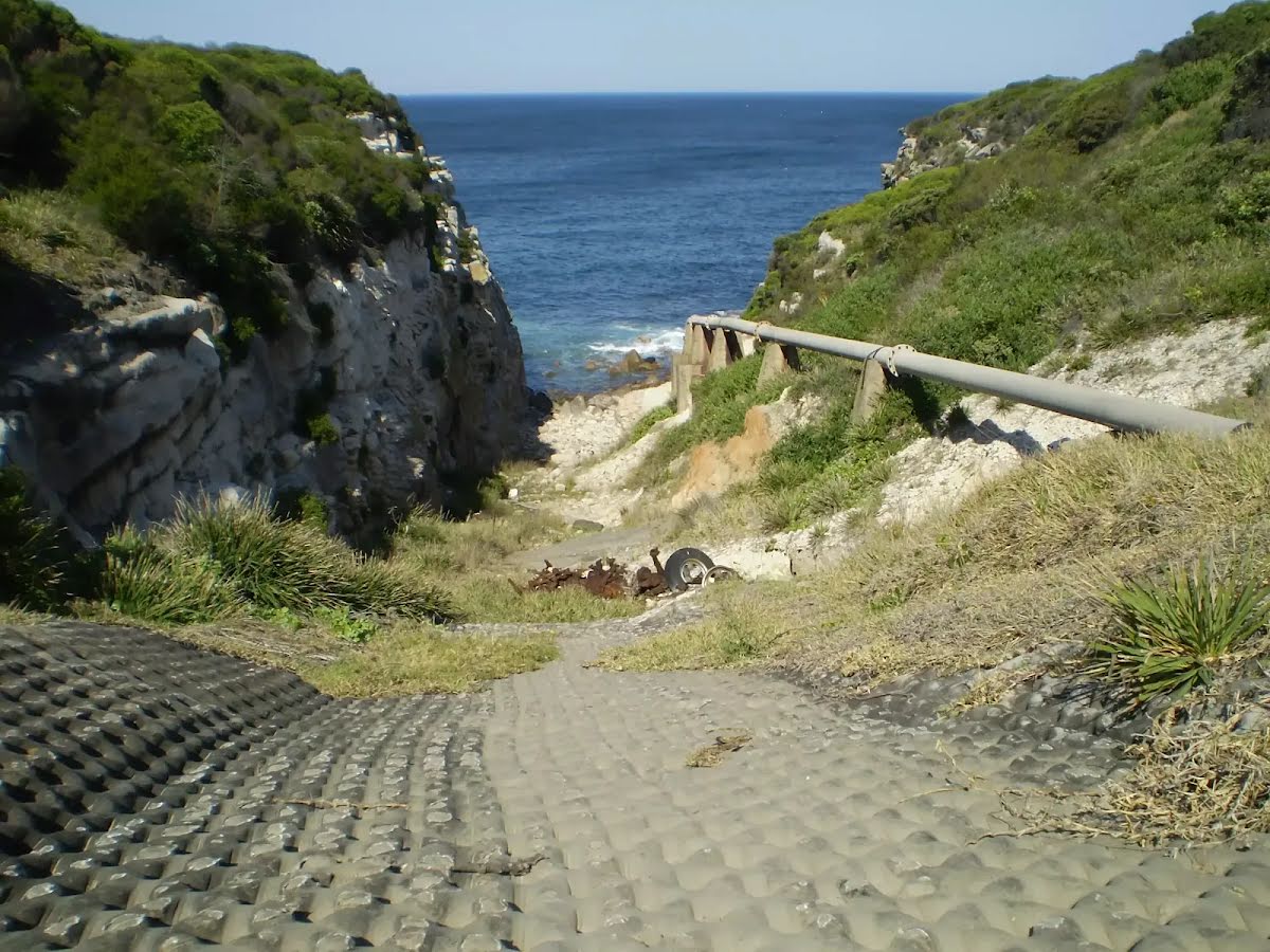
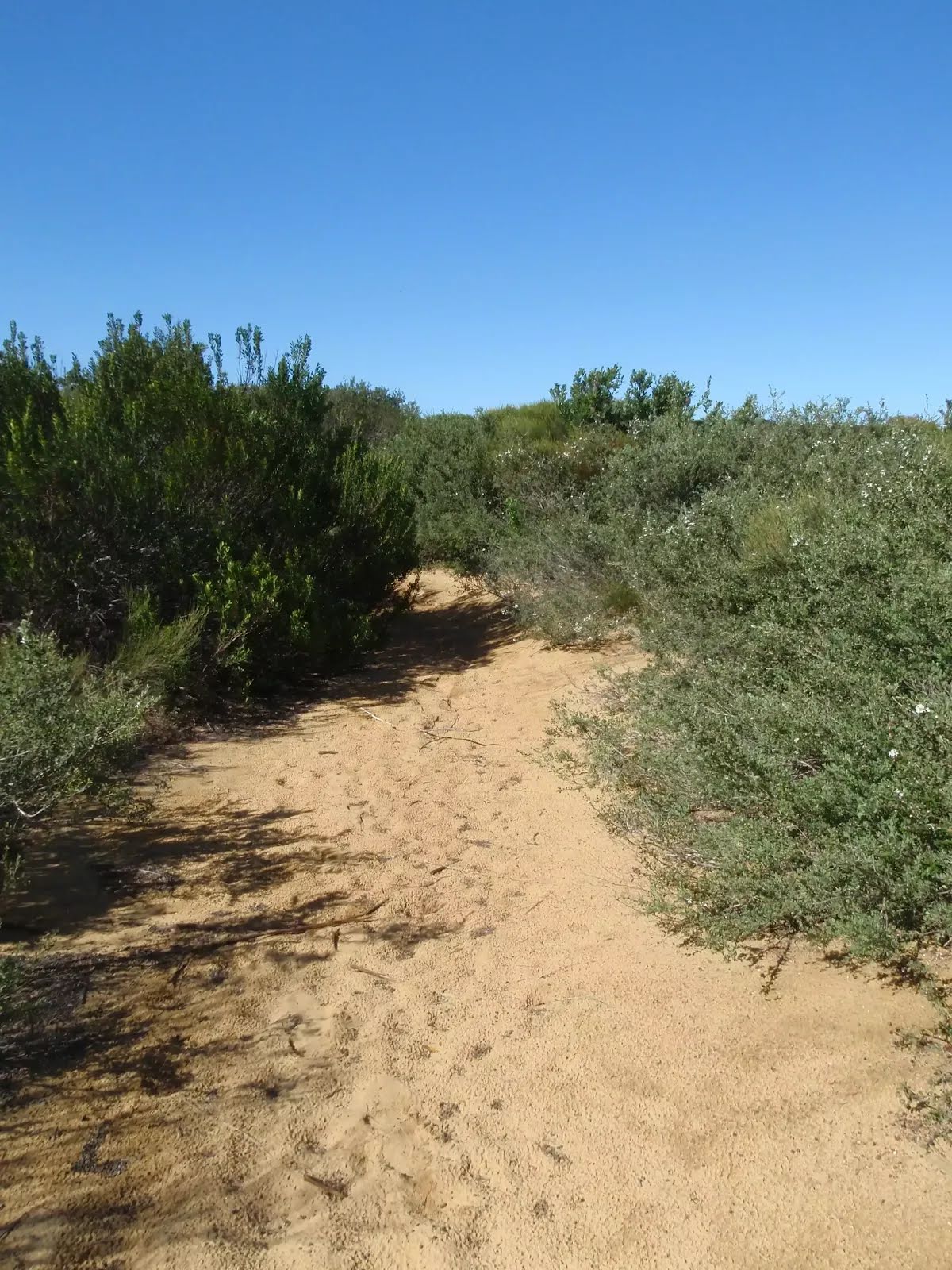
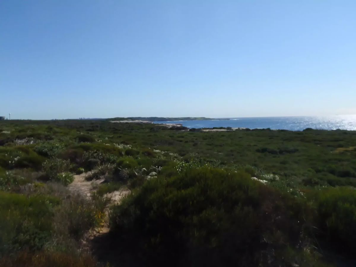
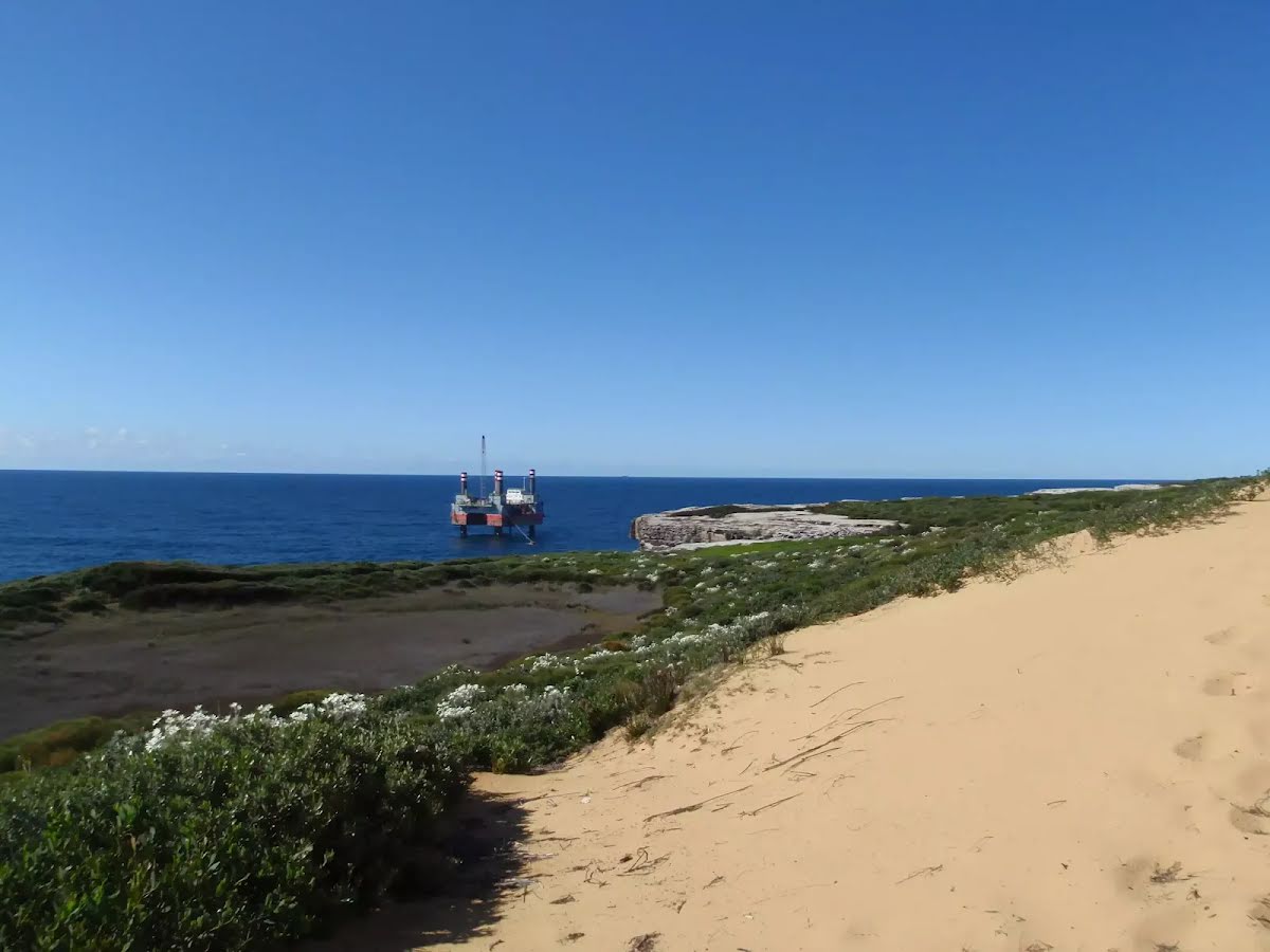
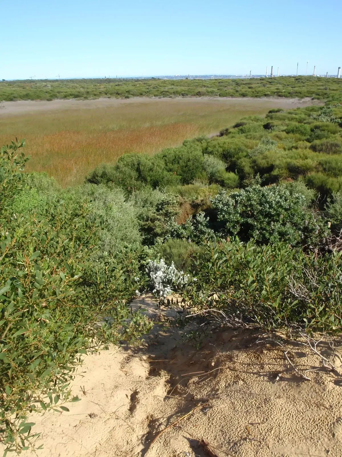
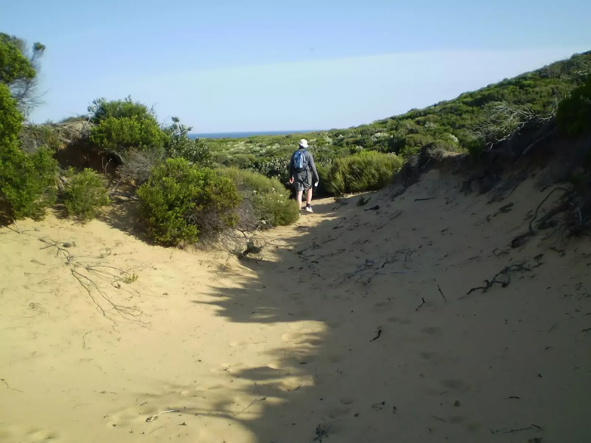
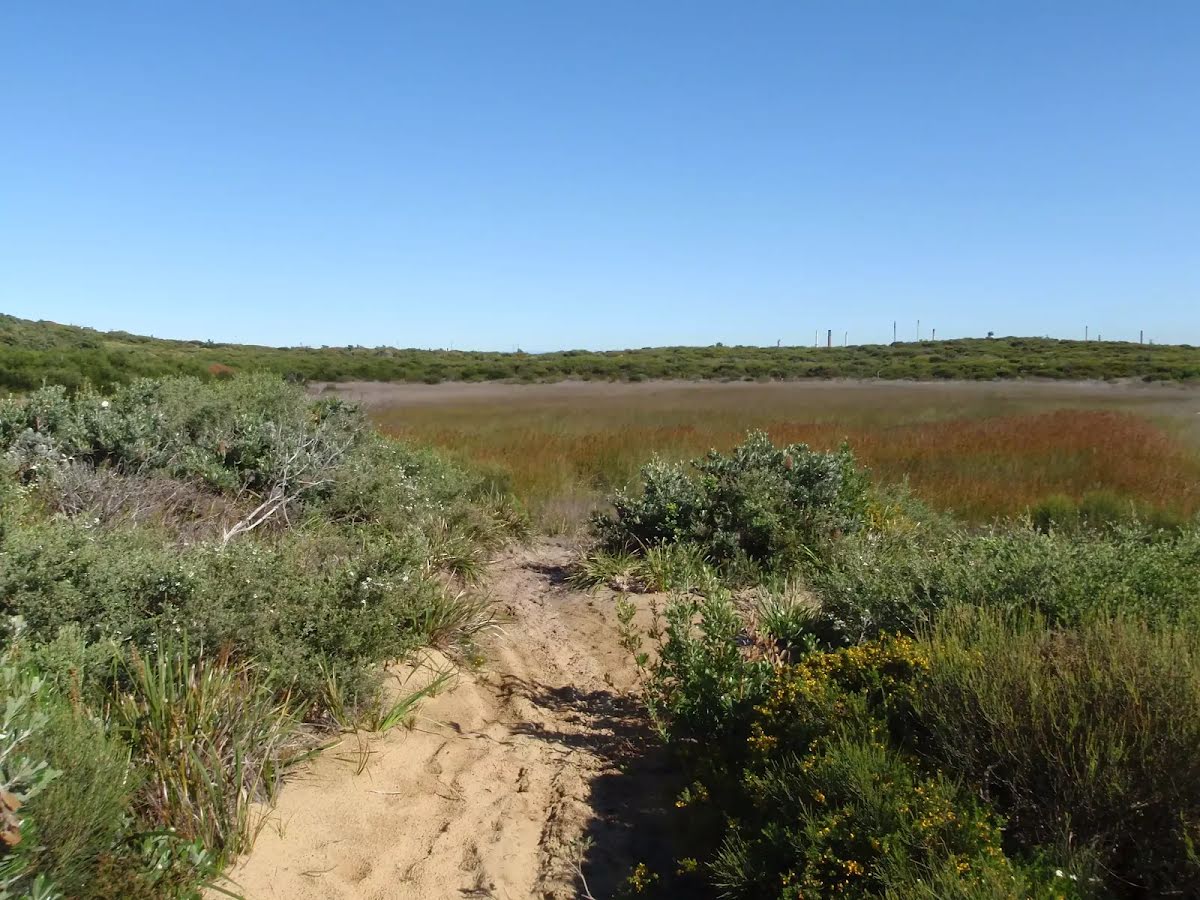
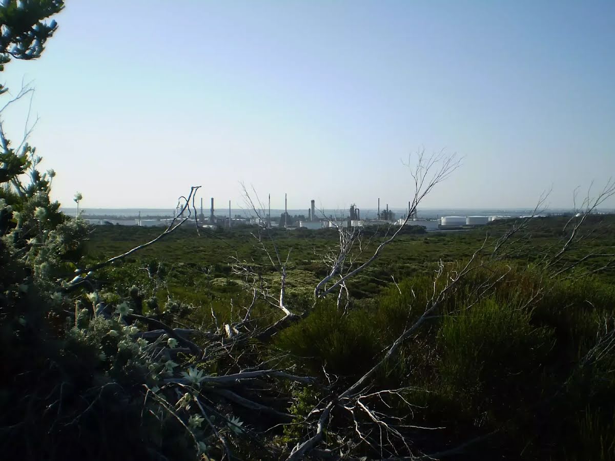
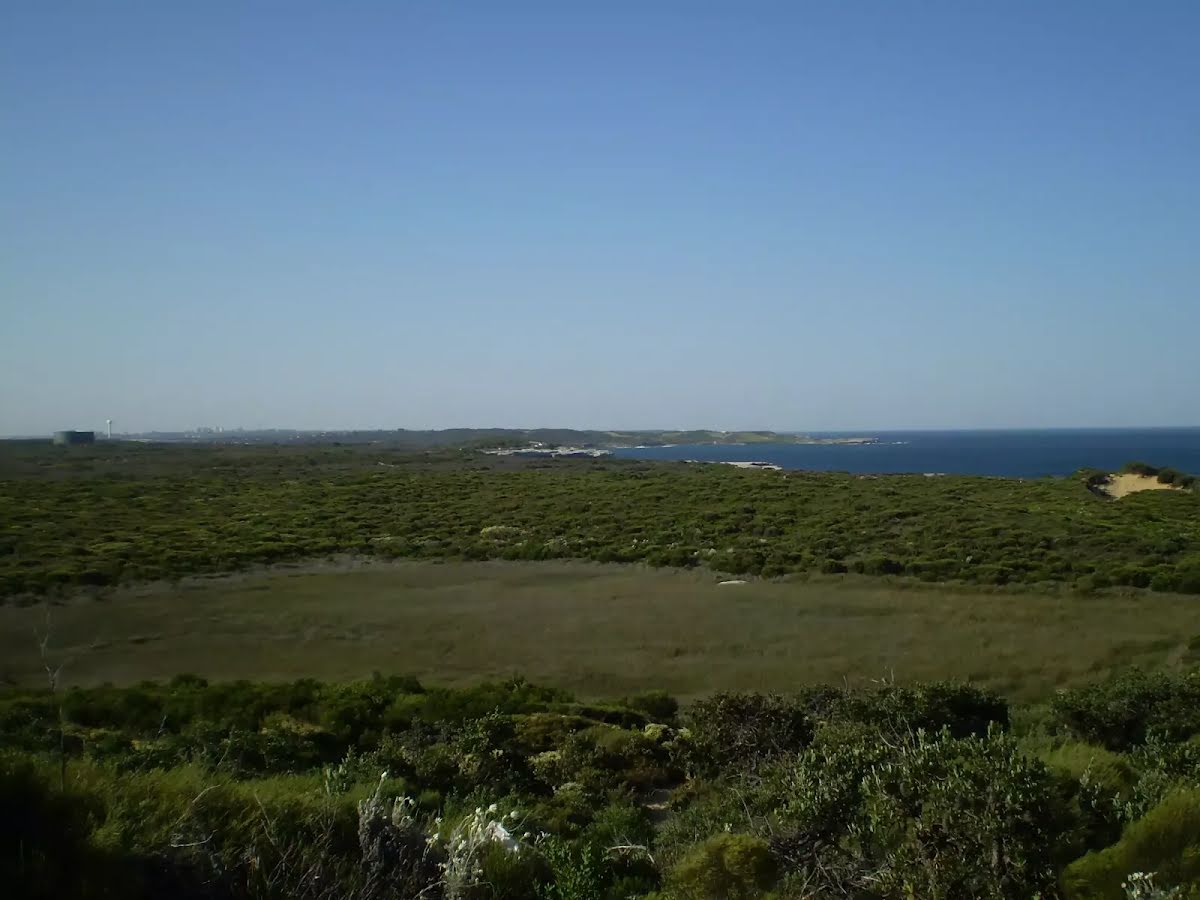
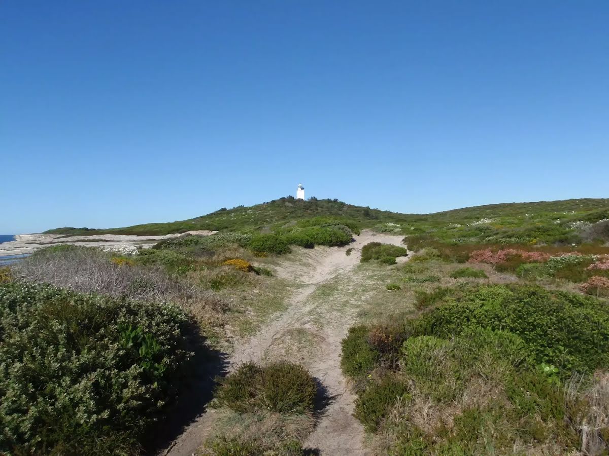
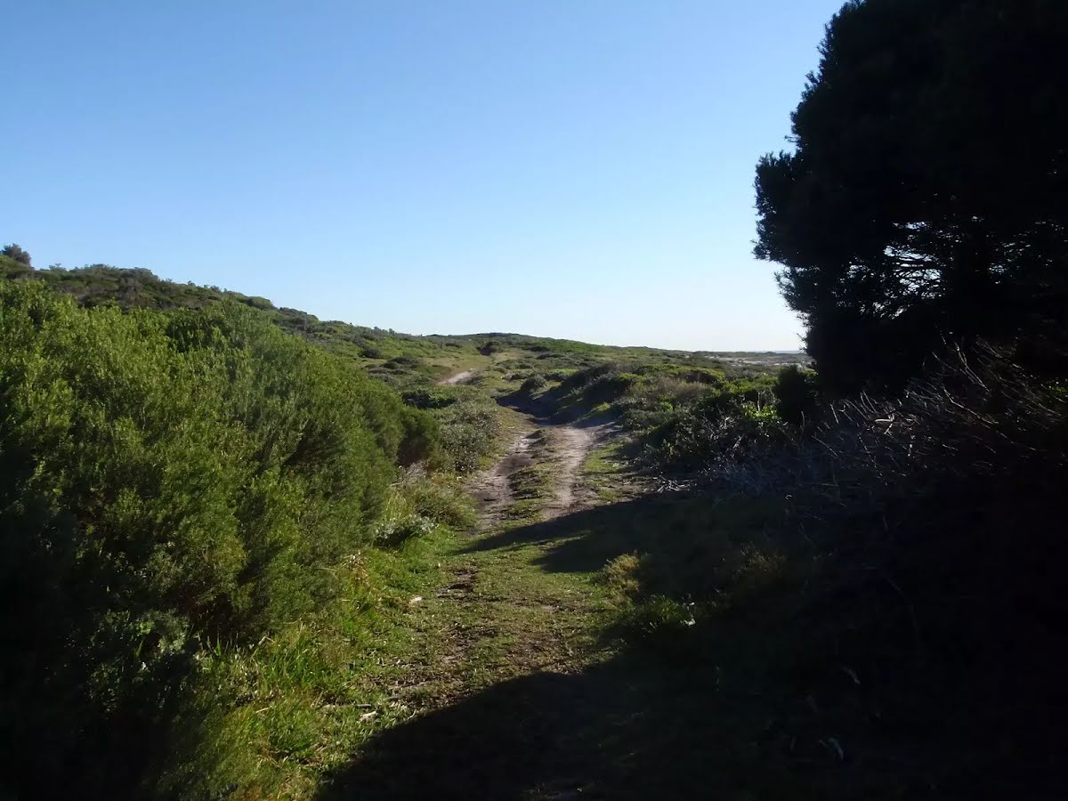
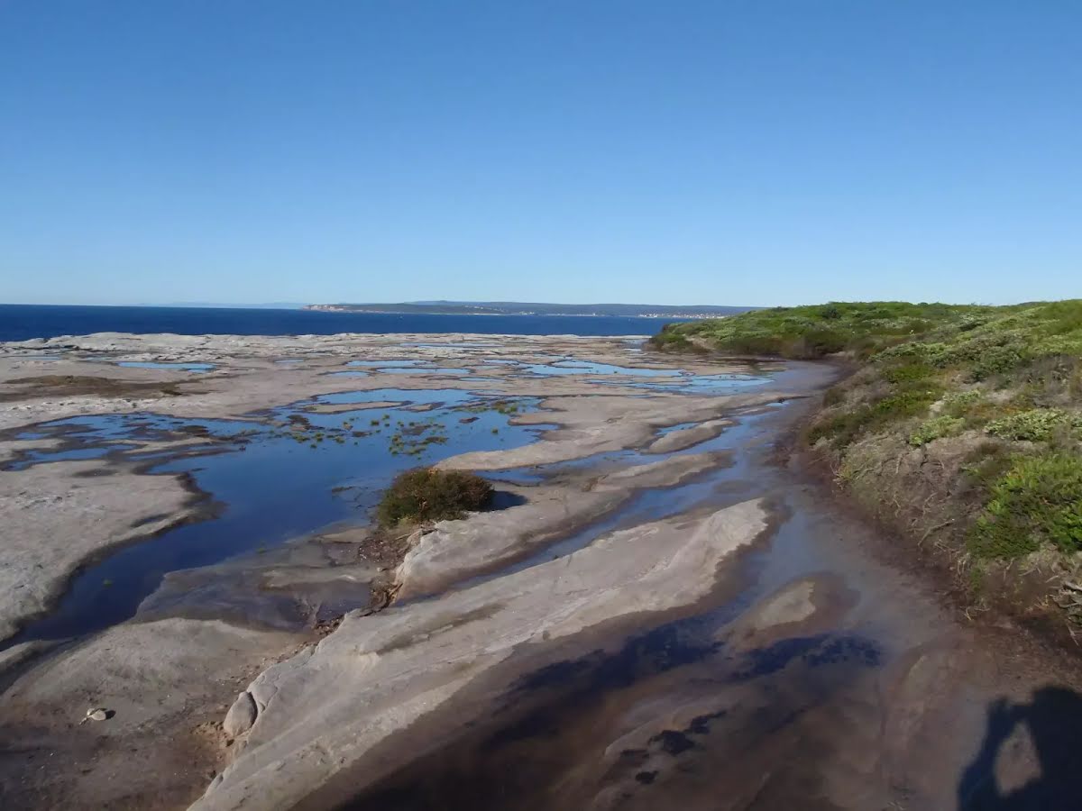
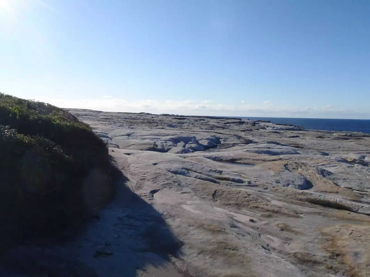
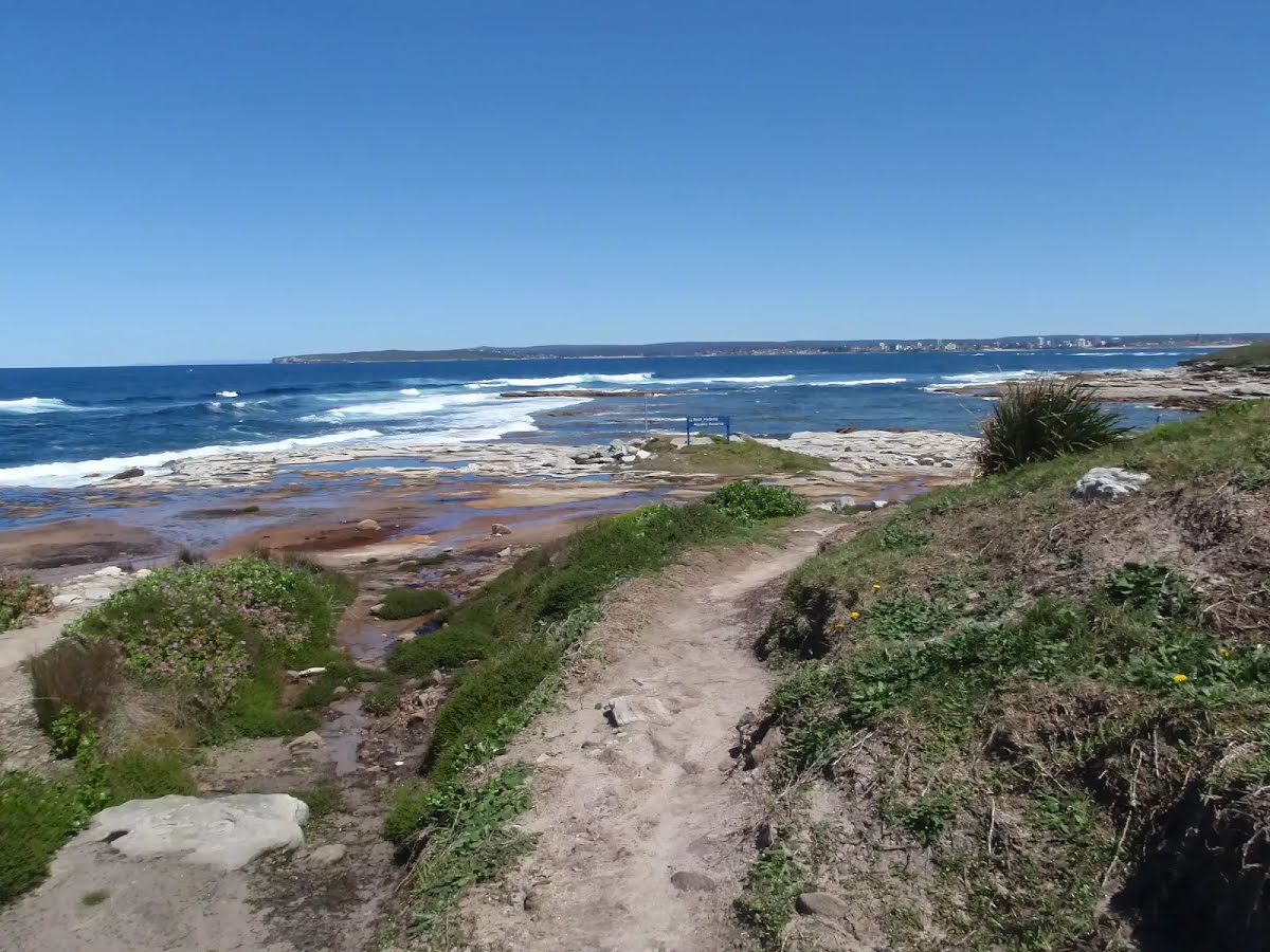
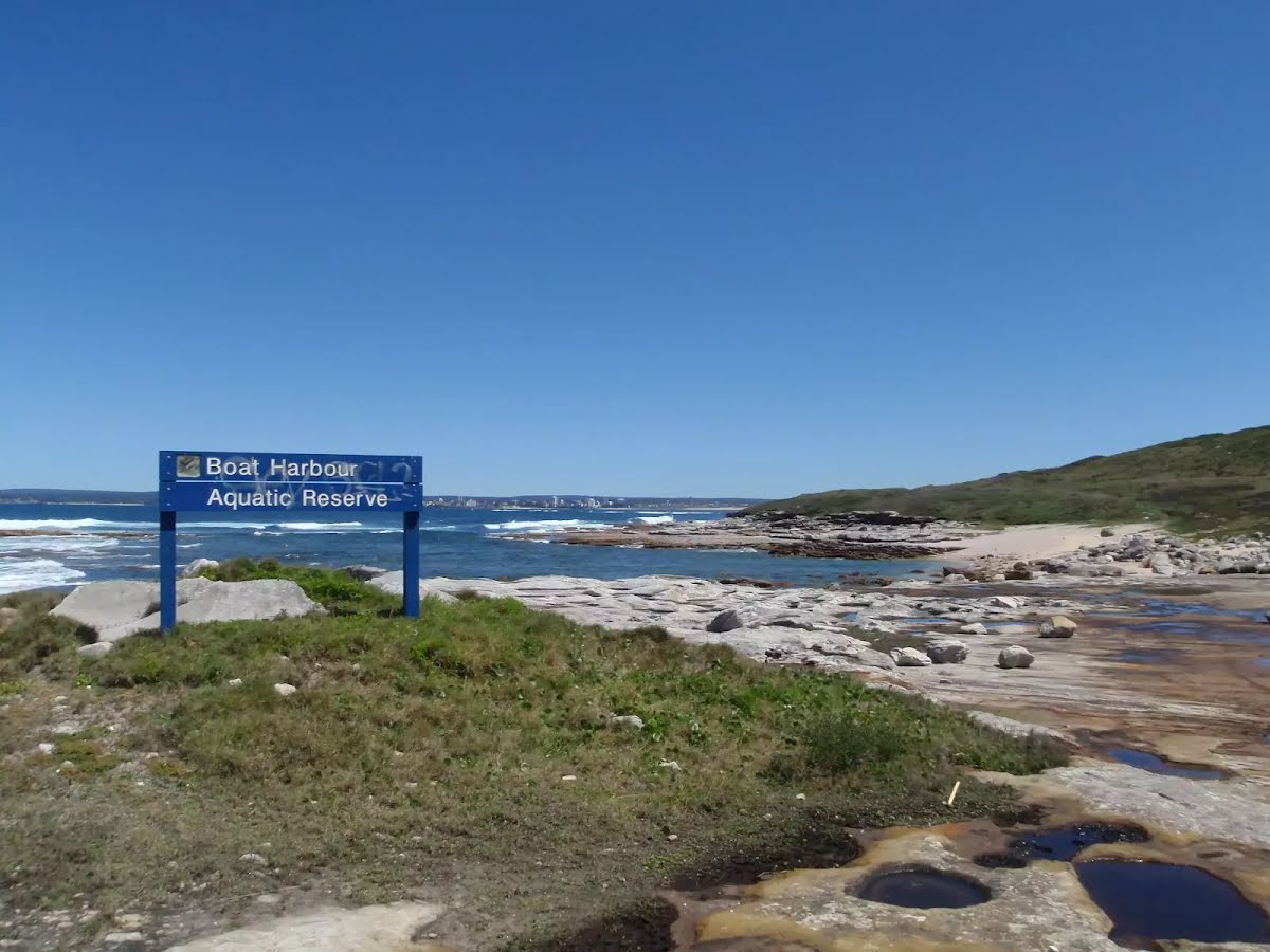
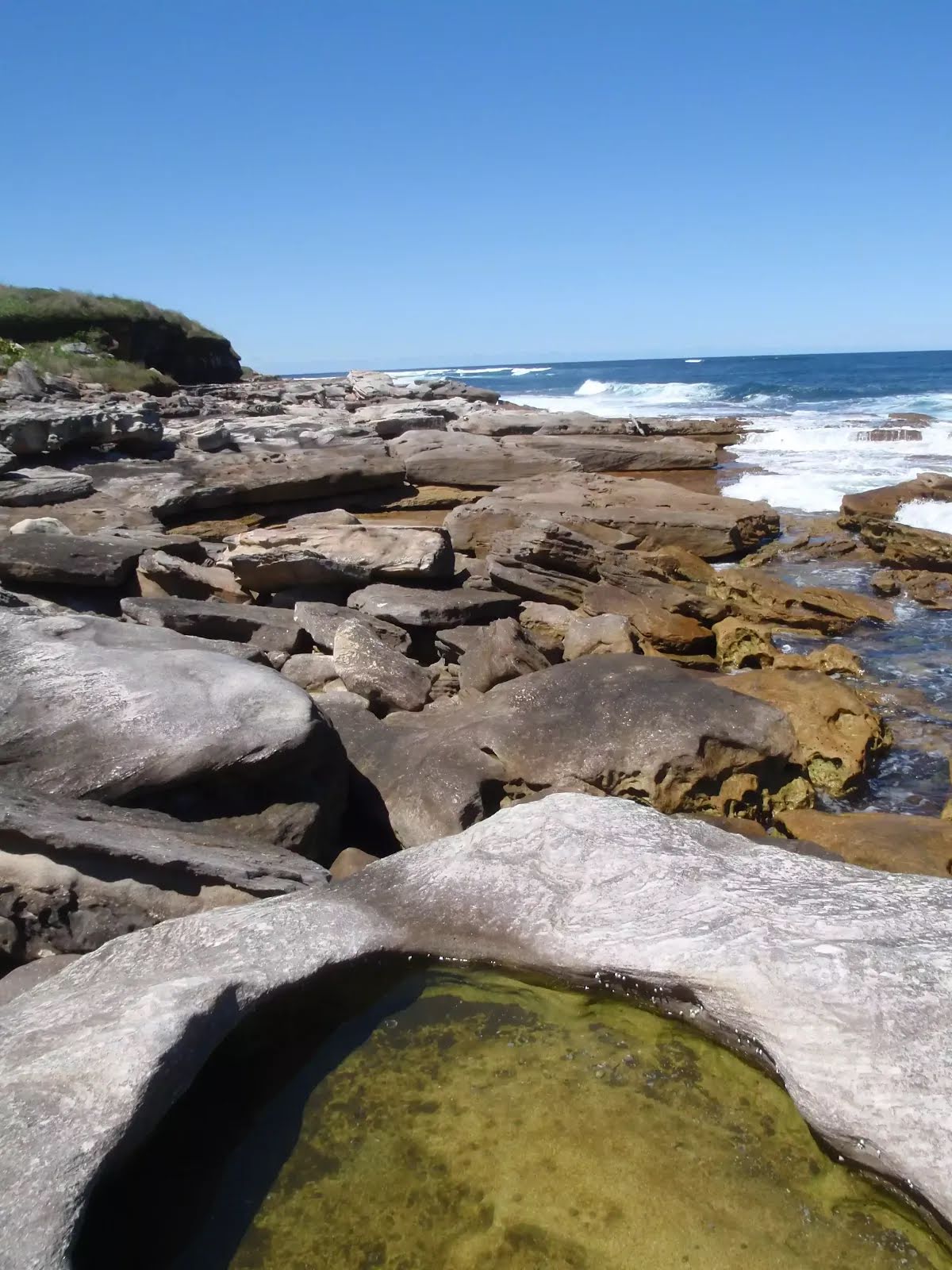
Closed areas: Kurnell foreshore partial closureTransport for NSW is constructing ferry wharves at Kurnell and La Perouse. Closures will be in place until late 2024. There will be no public access to the foreshore area between Prince Charles Parade and the wharf along Monument walking track. Alternative pedestrian pathways will be in place to allow public access into Kamay Botany Bay National Park.
For more information visit the
Kamay Ferry Wharves project webpage.
Closed areas: Kurnell Visitor Centre closed for upgradesKurnell Visitor Centre is currently closed until further notice. The site is being prepared for a new visitor centre as part of the Kamay 2020 Project.
Learn more about the improvements being made as part of the
Kamay 2020 Master Plan Project or
email the local area office.
Alert kindly provided by © NSW Nataional Parks and Wildlife Service