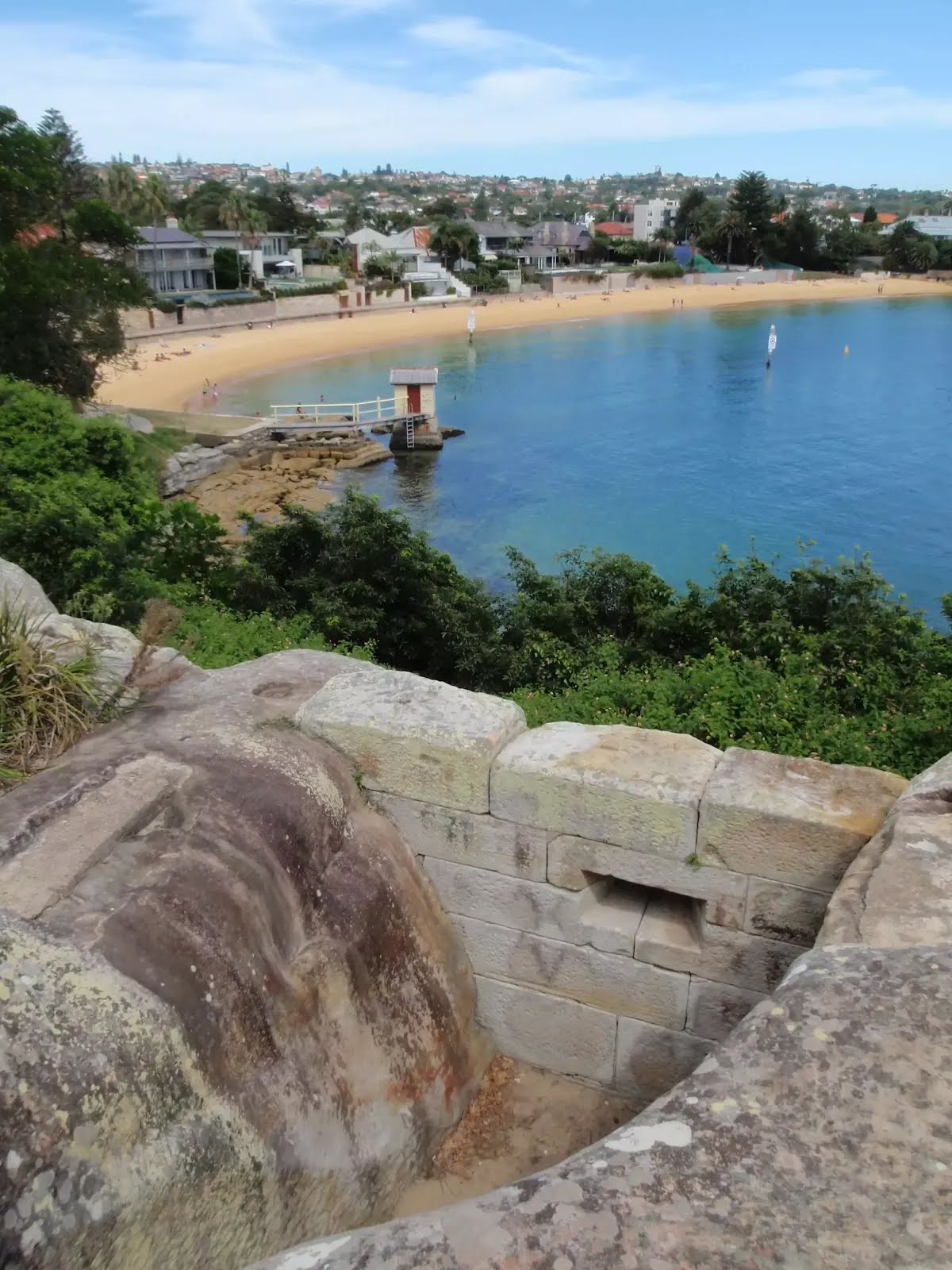
Closed areas: North Head partial closureSome parts of North Head in Sydney Harbour National Park are closed due to fire damage and geological instability. The closed areas include:
- Bluefish Point
- Old Man's Hat
- Cannae Point
- Quarantine Head
- Wastewater Treatment Plant emergency access road
Do not enter the closed areas.
Penalties apply for non-compliance. For more information, please contact the National Parks Contact Centre on 1300 072 757 or Sydney North area office on 02 9451 3479 between 9.30am and 4pm, Monday to Friday.
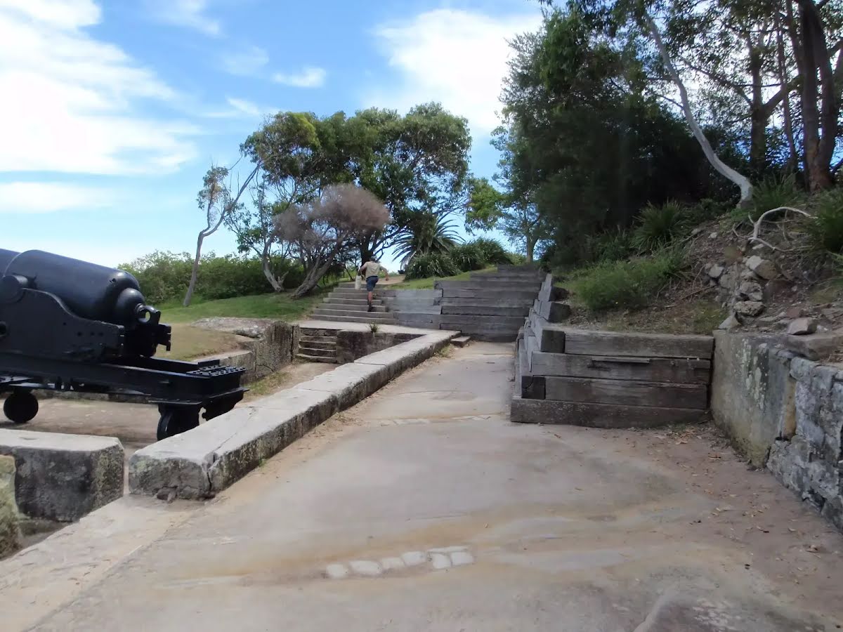
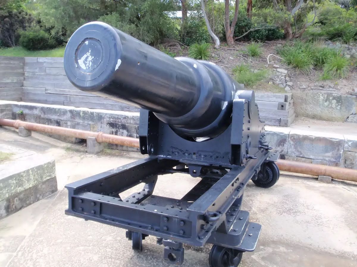
Closed areas: Fort Denison closedService upgrades and extensive conservation works on the fort are ongoing throughout 2025. Fort Denison – Muddawahnyuh remains closed to visitors during this time.
Standard work hours during the construction phase will be between:
- 7am to 6pm, Monday to Friday
- 8am to 1pm on Saturday
Penalties apply for non-compliance. For more information, visit the project
webpage or
email the Sydney South office. Visit the
NSW National Parks safety page for park safety guidelines.
Other planned events: North Head Scenic Drive gate opening timesThe North Head Scenic Drive gate opening times are:
- AEDT From 7 October 2024 to 6 April 2025 - 5am to 8.30pm
- AEST From 7 April 2025 to 5 October 2025 - 6am to 6pm
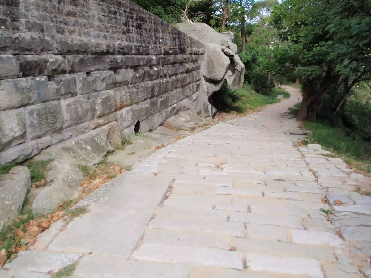
Closed areas: Bluefish Point closedThe Bluefish Point bushland area is closed for public safety and to protect the landscape and important plant and animal communities.
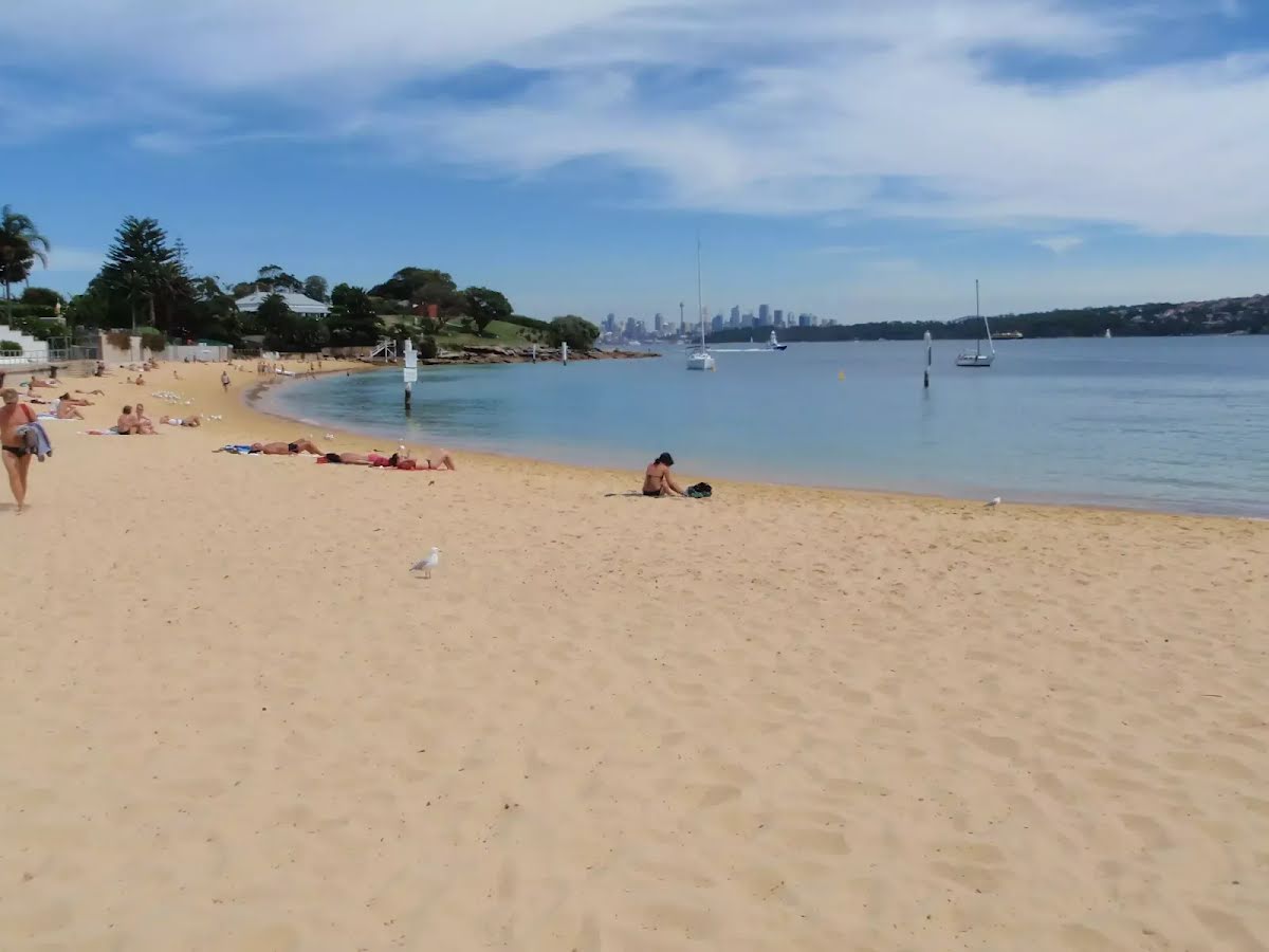
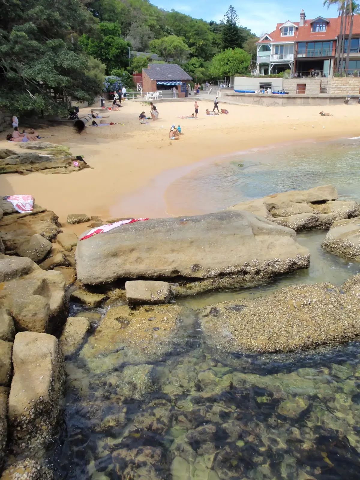
Access to rock pools is difficult and dangerous. Please stay on sign-posted walking tracks when visiting Sydney Harbour National Park for your safety and observe warning signs in the area.
Other planned events: 1080 pest management operationNSW National Parks and Wildlife Service will be conducting a baiting program using manufactured baits, fresh baits and Canid Pest Ejectors (CPEs) containing 1080 poison (sodium fluroacetate) for the control of foxes.
The program is continuous and ongoing between Saturday 1 February 2025 and Thursday 31 July 2025 in the following areas of Sydney Harbour National Park:
- Chowder Bay
- Dobroyd Head
- Bradleys Head
- Georges Head
- Middle Head
- North Head (North Head includes the adjoining land of Sydney Harbour Federation Trust, Australian Institute of Police Management and Quarantine Station).
Please don’t touch baits or ejector devices. All baiting locations are identifiable by signs.
Domestic pets are not permitted in NSW national parks and reserves. Pets and working dogs may be affected (1080 is lethal to cats and dogs). Pets and working dogs must be restrained or muzzled in the vicinity and must not enter the baiting location. In the event of accidental poisoning seek immediate veterinary assistance.
Fox baiting in these reserves is aimed at reducing their impact on threatened species.
Penalties apply for non-compliance. For more information, contact the local park office on:
Middle Head: 02 9960 6266 (business hours)
NPWS after-hours call centre: 1300 056 294 (after hours)
North Head Sanctuary, Many (Harbour Trust Lands): 02 8969 2128 (business hours).
Alert kindly provided by © NSW Nataional Parks and Wildlife Service