| Start | (-33.7319279,151.0782952) |
| Mode | Bus Car Train |
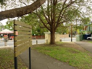
| Directions | From Pennant Hills Road, A28, Thornleigh.
|
| Finish | At the intersection of Clarinda Street & Clarinda Firetrail (-33.6881045,151.0918163) |
| Mode (end) | Car Shuttle Bus Car Train |
| Turn map | Directions & comments |
|---|---|
 |
This restaurant can be found on Pennont Hills road just a stones throw from the station. They are open for breakfast, lunch and dinner with a continental menu ranging from about $20. for a meal. The opening hours are from 6.oo am to 10.00 pm from Tuesdays to Saterdays, and closed Sundays and Mondays. For more information on bookings call (02) 9484 6799.
|
 |
|
 |
|
 |
|
 |
|
 |
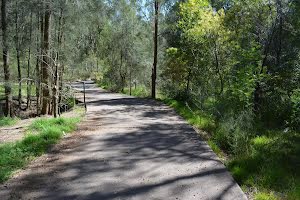
After another 265 m (at the intersection of The Great North Walk & Morgan Street) turn right, to head along The Great North Walk (a walking track).
|
 |
At the intersection of Timbarra Road - Bellamy Street Cycleway & The Great North Walk veer right, to head along Timbarra Road - Bellamy Street Cycleway.
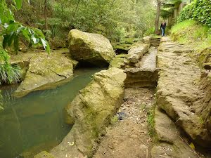
 Unfenced and unmarked edge with potential 80cm or higher fall into the creek. Keep clear of the culverts edge when crossing.
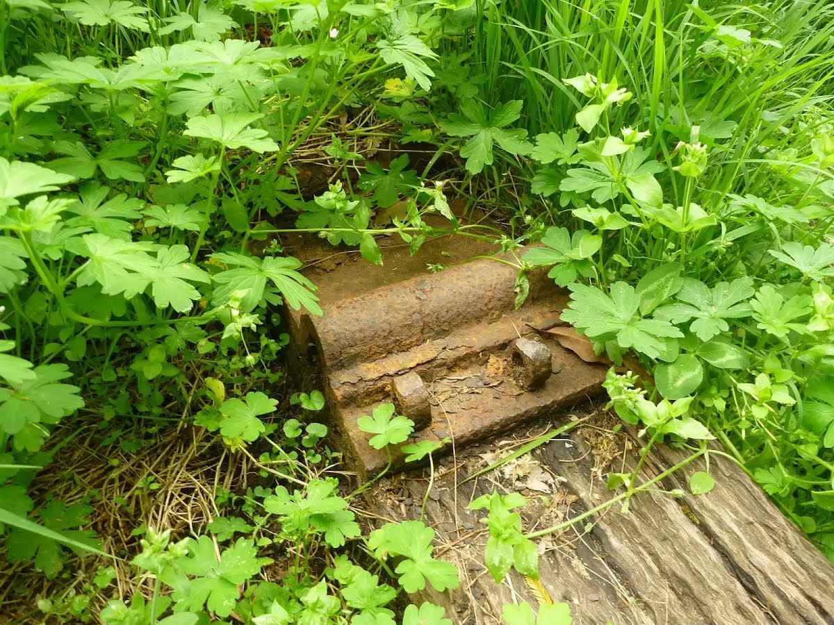 The Thornleigh zigzag railway originally ran from the main rail line near Thornleigh to a historic quarry, near present day De Saxe Cl, Thornleigh. There are only minor fragments still visible today. The 'Heritage Trail' in Thornleigh has interpretive signs for the railway and the old Thornleigh Quarry. A book is available with some detail on railway and associated quarry: 'Sydney's Forgotten Quarry Railways' by John Oakes, ISBN 0 9757870 3 9
|
 |
At the intersection of The Great North Walk & Timbarra Road - Bellamy Street Cycleway turn left, to head along The Great North Walk.
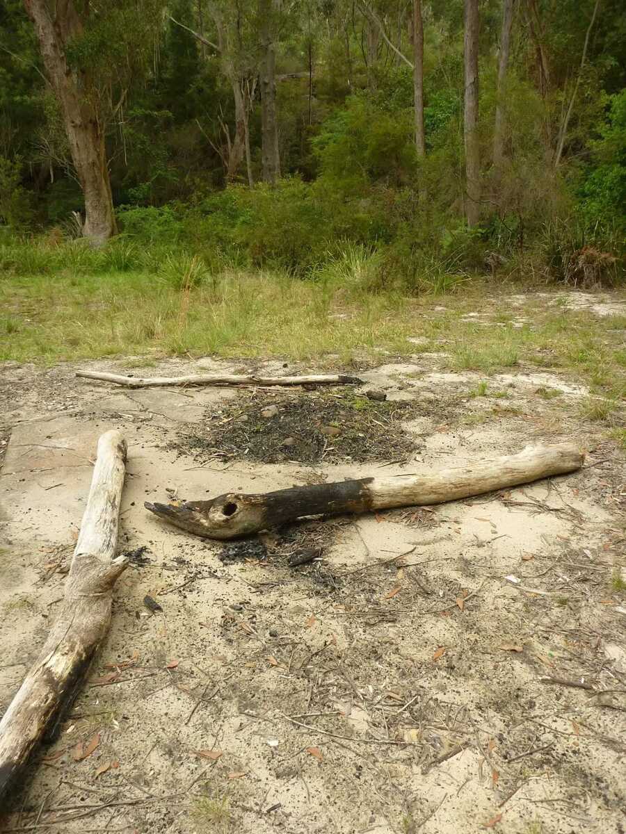 The Jungo is a relatively small clearing and campsite near the junction of Berowra and ZigZag Creeks at a well signposted intersection. There is often water in the creeks (treat well before drinking) but there are no facilities. Speculation on the source of the name 'Jungo' includes the Aussie tendency to abbreviate words ('Junction' gets corrupted to 'jung-o' etc) as well as a possible derivation from one of a few similar sounding aboriginal words.
|
 |
|
 |
|
 |
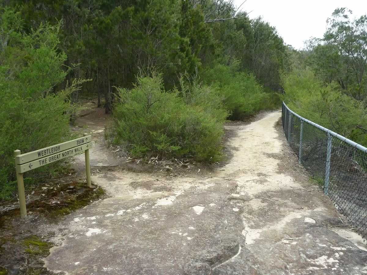 This fenced lookout is on the Benowie Track close to Westleigh. There are uninterrupted views from the clifftop across the Berowra Creek valley, which is rare for the area. As well as being on the Great North Walk, this lookout can be accessed by a short walk from Elouera Rd, Westleigh. This section of fenced rock platform is about 100m long, and there is some limited shade from the casuarina near the lookout if you want to take a rest.
|
 |
|
 |
|
 |
|
 |
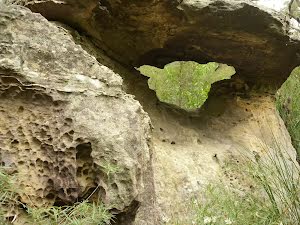
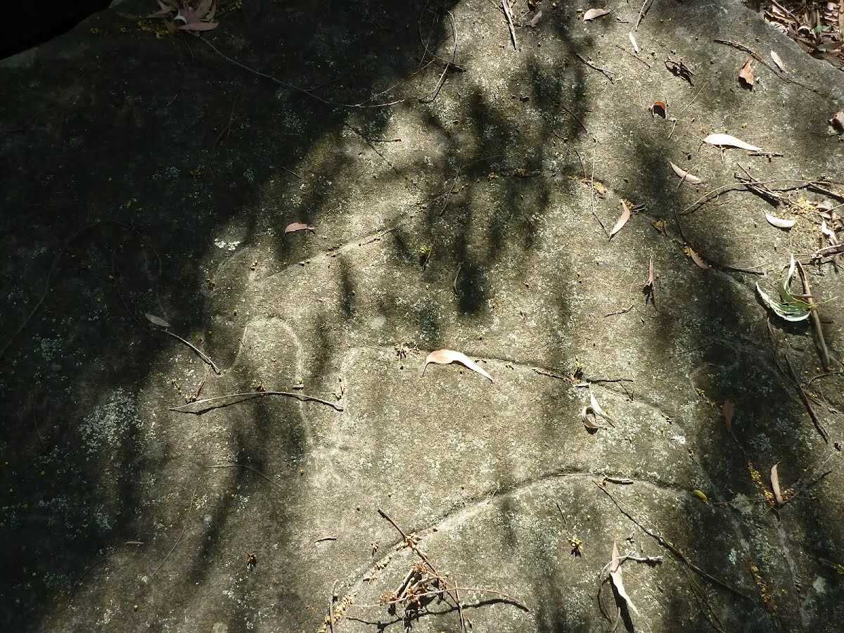
The starting point of an optional sidetrip. Side trip to a lookout with filtered views across the valley and some Aboriginal engravings of wallabies. To start this optional side trip turn sharp right here. On returning from this side trip veer right when you get back to this intersection. Details below.
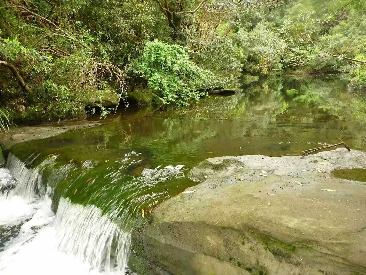 Fishponds is a long waterhole on Berowra Creek in Berowra Valley Regional Park. The waterhole is lined with tall cliffs and a few sandstone caves. At the southern end, there are stepping stones to help cross the creek, and a small timber bridge at the northern end. This is a beautiful spot and a worthy place to rest and enjoy the water passing by. The waterhole is fairly popular with local teens in summer, cooling off. Swimming and jumping at the Fishponds waterhole has resulted in fatalities - please heed the signs and Cora's parents' plea and enjoy the water from the edge.
|
 |
The starting point of an optional sidetrip. Side trip to Fishponds waterhole on Berowra Creek. At the southern end, there are stepping stones to help cross the creek, and a small timber bridge at the northern end. This is a beautiful spot and a worthy place to rest and enjoy the water passing by. Swimming and jumping at the Fishponds waterhole have resulted in fatalities – please heed the signs and Cora’s parents’ plea and enjoy the water from the edge. To start this optional side trip continue straight here. On returning from this side trip continue straight when you get back to this intersection. Details below.
At the intersection of Blue Gum Walk & Great North Walk turn sharp right, to head along Blue Gum Walk.
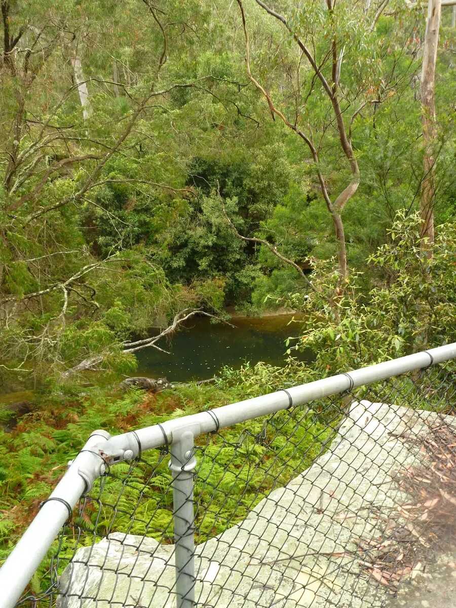 Fishponds Lookout is a fenced rock platform at the intersection of the Benowie walking track and the Rosemead trackhead. It is marked with a number of Great North Walk signs. This informally named lookout has good views down over Fishponds, a large waterhole on Berowra Creek. Looking north across the creek, there are views to the upper waterhole and the cliffs on the other side.
|
 |
|
 |
|
 |
|
 |
|
 |

|
|
Class 4/6 Hard track |
|---|---|
| Length | 10.4 km |
| Time | 3 h 15 min to 5 h |
| Quality of track | Formed track, with some branches and other obstacles (3/6) |
| Gradient | Very steep (4/6) |
| Signage | Directional signs along the way (3/6) |
| Infrastructure | Limited facilities, not all cliffs are fenced (3/6) |
| Experience Required | Moderate level of bushwalking experience recommended (4/6) |
| Weather | Storms may impact on navigation and safety (3/6) |
| Item | From Start | Name & link to notes |
|---|---|---|
Toilet
| -6 m | [toilet] |
Toilet
| -5 m | [toilet] |
Seat
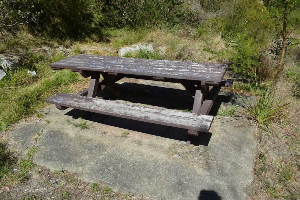
| 55 m | [seat] |
Campsite
| 2.9 km | The Jungo |