Severs Beach
Yuin Country

25 min to 30 min

1.3 km
return

↑ 27 m
↓ -27 m

Easy track
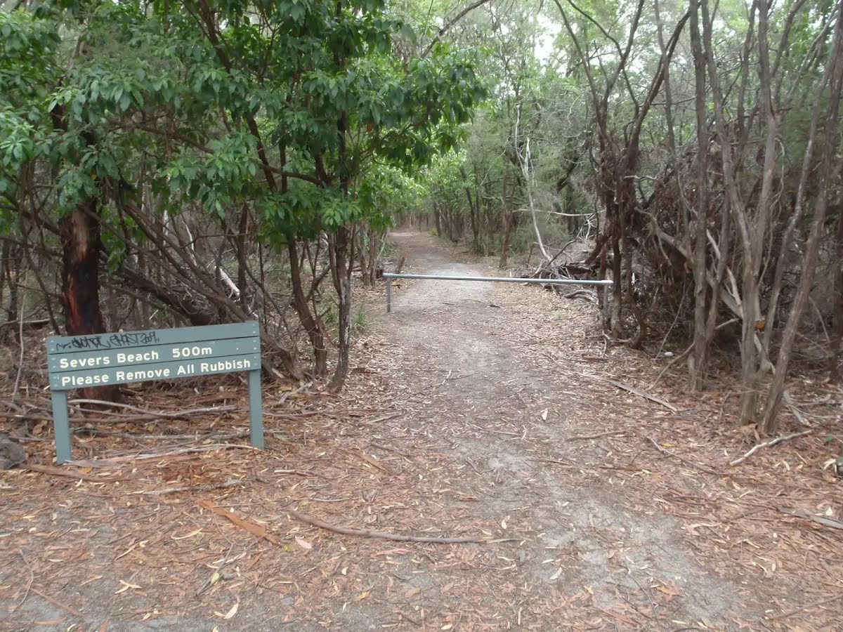
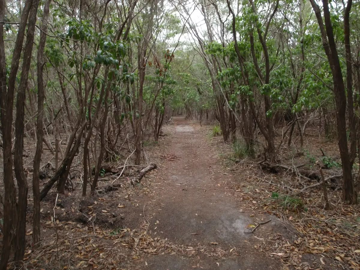
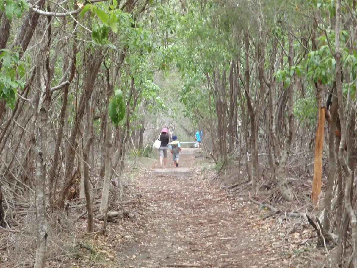
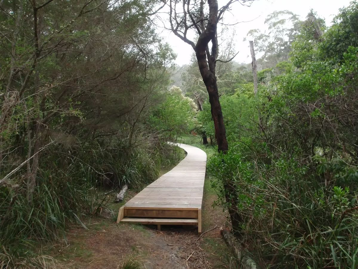
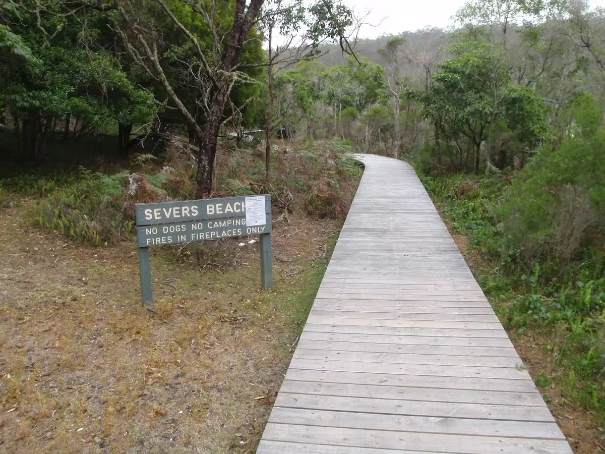
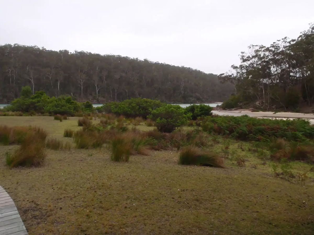
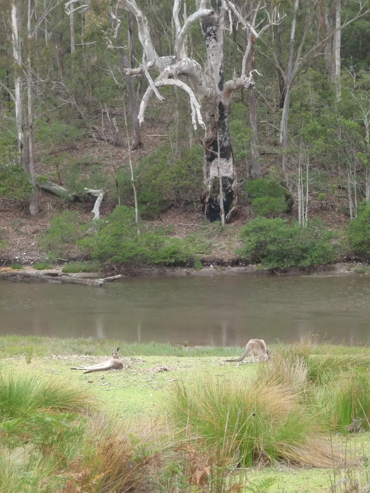
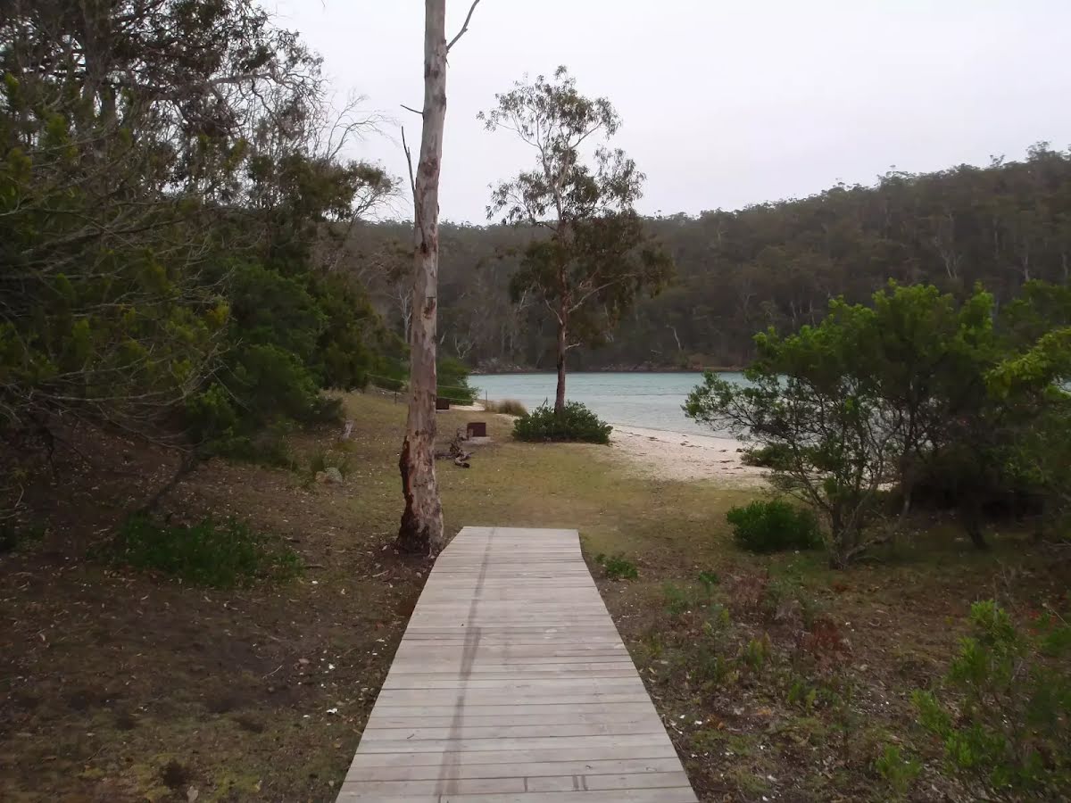
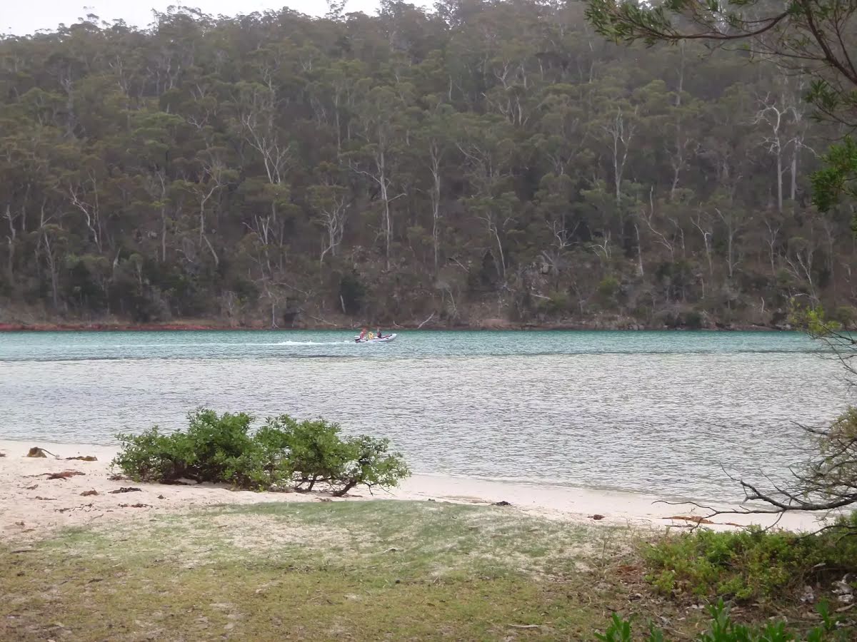
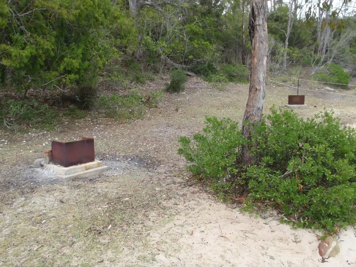
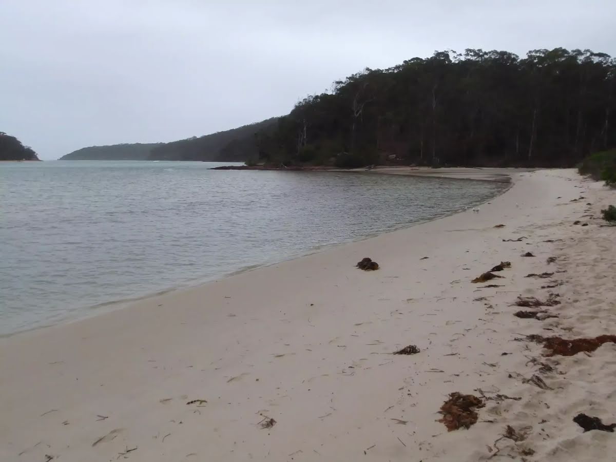
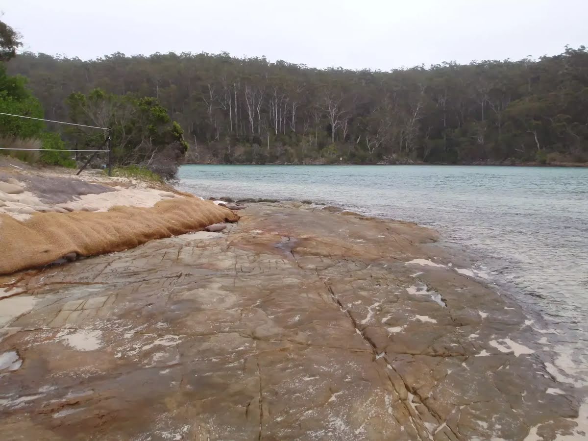
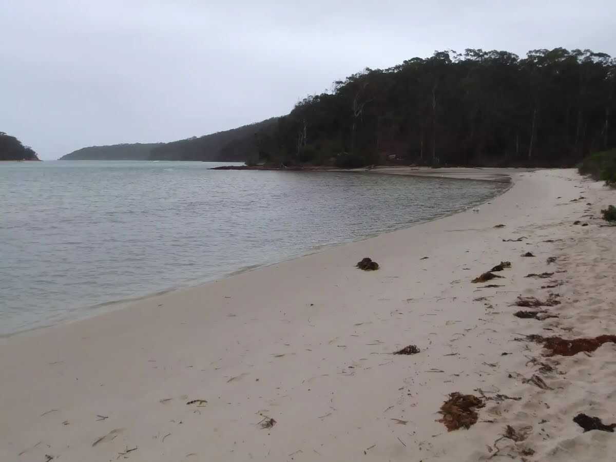
Severs Beach is a fantastic spot on the Pambula River with its crystal clear waters and sandy beach. The beach is backed by Aboriginal sites of significance, with many middens in the area. The beach also boasts two wood fired BBQ settings in a nice grassy area. A great spot for a picnic and to wet the toes. Let us begin by acknowledging the Yuin people, Traditional Custodians of the land on which we travel today, and pay our respects to their Elders past and present. 
Show all
Severs Beach car park. | Photo by admin, 2009.
Track to Severs Beach. | Photo by admin, 2009.
Walkers heading up to the car park. | Photo by admin, 2009.
Severs Beach track. | Photo by admin, 2009.
Southern end of Severs Beach boardwalk. | Photo by admin, 2009.
Severs Beach car park. | Photo by admin, 2009.
Lambertia formosa (Mountain Devil) beside boardwalk. | Photo by admin, 2009.
Clearing behind Severs Beach. | Photo by admin, 2009.
Kangaroos near Severs Beach. | Photo by admin, 2009.
Midden near Severs Beach. | Photo by admin, 2009.
Boardwalk to Severs Beach picnic area. | Photo by admin, 2009.
Severs Beach. | Photo by admin, 2009.
Severs Beach picnic area. | Photo by admin, 2009.
Severs Beach. | Photo by admin, 2009.
Western end of Severs Beach. | Photo by admin, 2009.
Downloads GPX PDF

+
-
Safer Bushwalks
Tips on staying safe on track
Before you start any bushwalk ensure you;
• Tell someone you trust where you are going and what to do if you are overdue
• Have adequate equipment, supplies, skills & knowledge for the whole journey
• Consider the impact of weather forecasts, park/track closures & fire dangers
• Can respond to emergencies & call for help at any point
• Are healthy and fit enough for this journey
If not, change plans and stay safe. It is okay to delay and ask people for help.
+
-
Getting There
Transport options and directions
Start Severs Walk Parking (-36.9571383,149.9098065)
Mode Car (A park entry fee is required for driving into the park.)
DirectionsFrom Princes Highway, A1
  • Turn on to Haycock Road then drive for 4.7 km
+
-
Track Notes
Turn by turn instructions & maps
Getting started
From the intersection, the walk follows the 'Severs Beach 500m' sign down the hill, past the gate. The track winds down the hill and then along a boardwalk to the water. The boardwalk leads the walk to a small clearing with bbq pits and a small beach.....
Turn map Directions & comments
Severs Walk Parking Start heading along Severs Beach Walk (a vehicle track).
After 15 m to find the "Severs Walk Parking".
After another 20 m head through/around the gate.
Continue another 630 m to find the end. Then turn around here and retrace the main route for 660 m to get back to the start.
About 70 m past the end is "Severs Beach".
Severs Beach
Severs Beach

Severs Beach is a sandy beach on the eastern bank of the Pambula River, in Ben Boyd National Park. The beach faces towards the ocean but is about 1.4km from the mouth of the river, making this a pleasant area for picnicking, swimming, fishing, boating or just relaxing. There are a couple of metal fire pits, a clear grassy area, a rock shelf and a small lagoon. The chances of seeing some of the resident kangaroos are pretty good. The beach is accessible by boat or a short walking track (partly boardwalk). There is no surf life saving patrol at this beach.
+
-
Severs Beach is a sandy beach on the eastern bank of the Pambula River, in Ben Boyd National Park. The beach faces towards the ocean but is about 1.4km from the mouth of the river, making this a pleasant area for picnicking, swimming, fishing, boating or just relaxing. There are a couple of metal fire pits, a clear grassy area, a rock shelf and a small lagoon. The chances of seeing some of the resident kangaroos are pretty good. The beach is accessible by boat or a short walking track (partly boardwalk). There is no surf life saving patrol at this beach.

+
-
Terrain
Know the Hills, grading & facilities

Severs Beach


Grading
Class 2/6
Easy track
Length 1.3 km
Time 25 min to 30 min
Quality of track Clear and well formed track or trail (2/6)
Gradient Gentle hills with occasional steps (2/6)
Signage Clearly signposted (1/6)
Infrastructure Generally useful facilities (such as fenced cliffs and seats) (1/6)
Experience Required No experience required (1/6)
Weather Weather generally has little impact on safety (1/6)
+
-
Articles
Discover more details to thrive on track
+
-
Reviews & Feedback
Share your experience
+
-
Weather & Alerts
Check forecasts & closures
Show Full Weather
Alerts and Closures
Show all alerts
Show all alerts
Show all alerts
+
-
Other Journeys
Discover nearby and similar journeys
Some of the information and maps on this page was generated using data from the awesome © OpenStreetMap contributors.
Please see how you can embed some widgets, access data and other stuff to that might be helpful.