
| Start | (-37.1688504,150.0007791) |
| Mode | Car (A park entry fee is required for driving into the park.) |
| Directions | From Princes Highway, A1
|
| Finish | (-37.216862,150.0147266) |
| Mode (end) | Car Shuttle Car (A park entry fee is required for driving into the park.) |

|
|
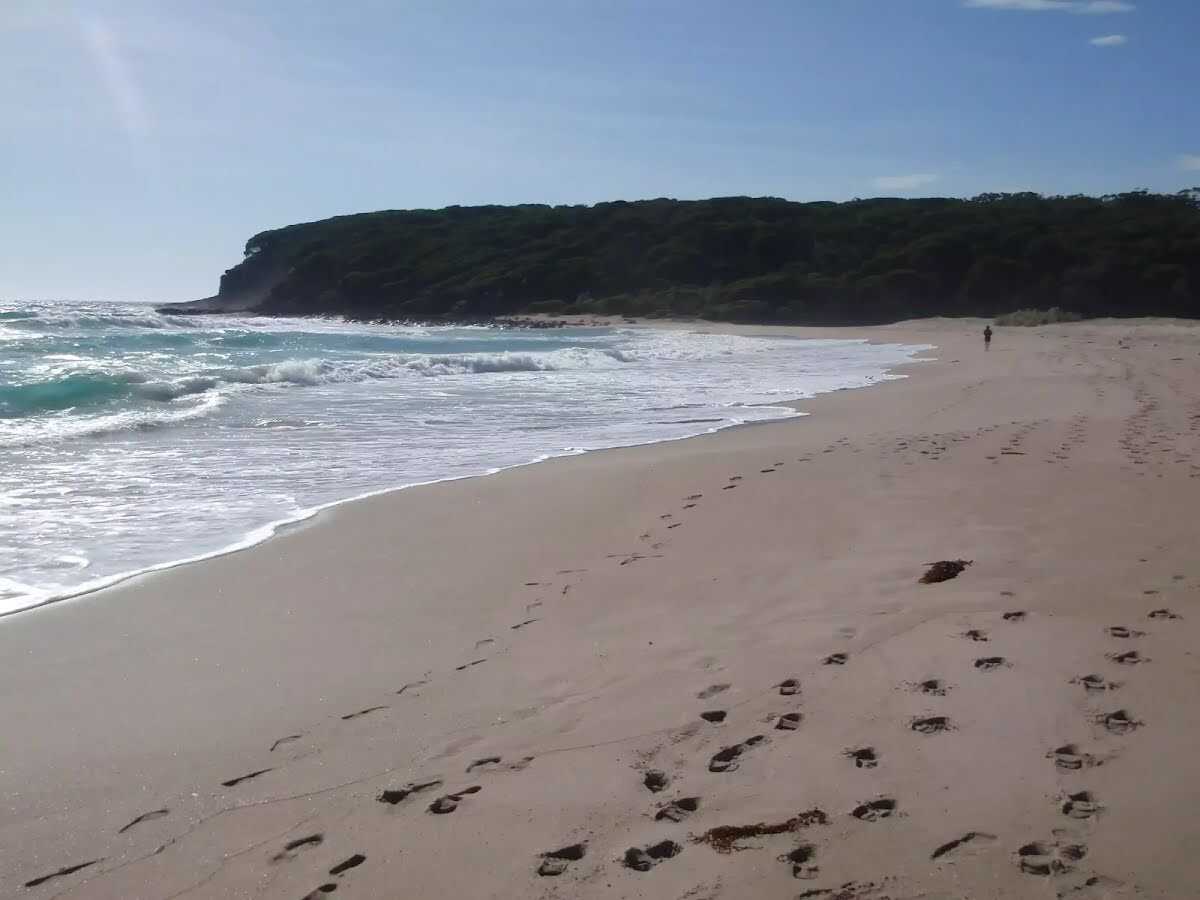
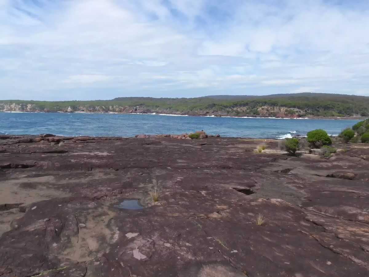
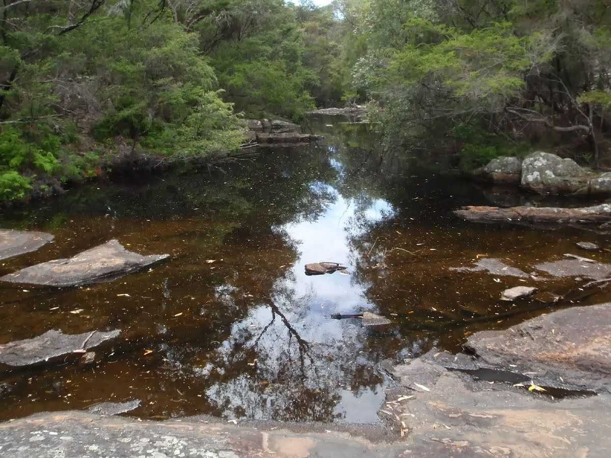
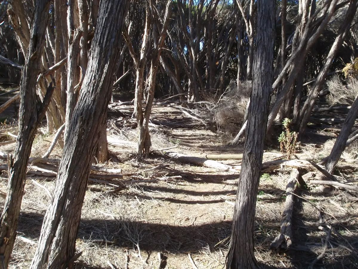
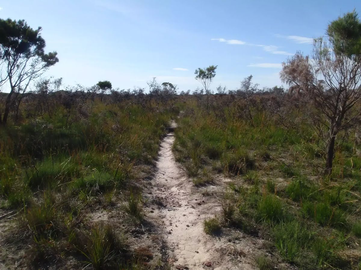
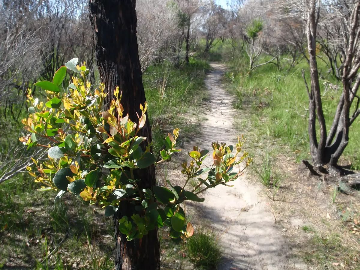
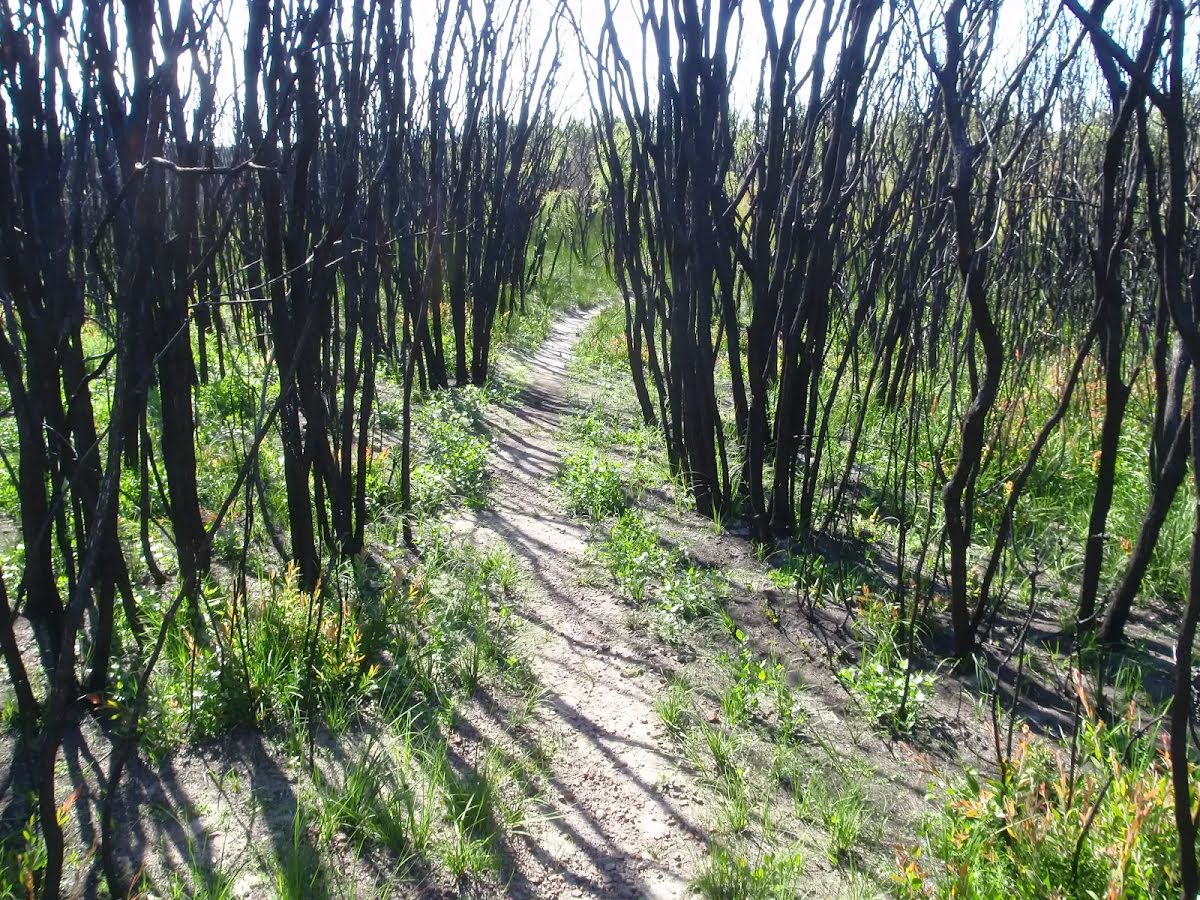
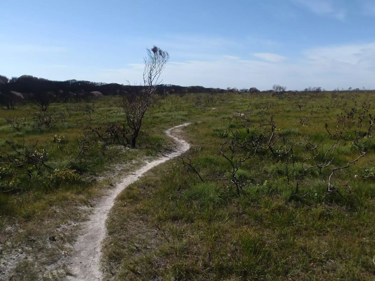
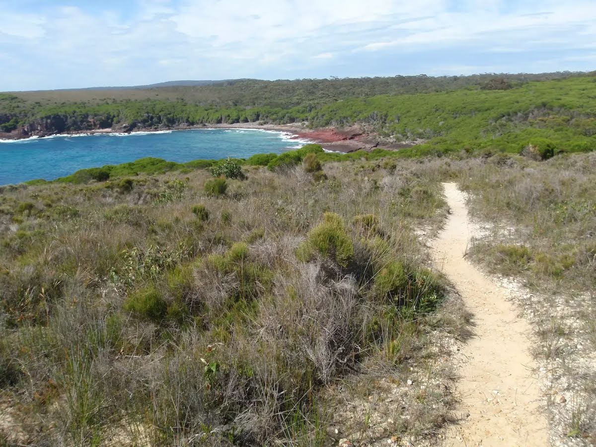
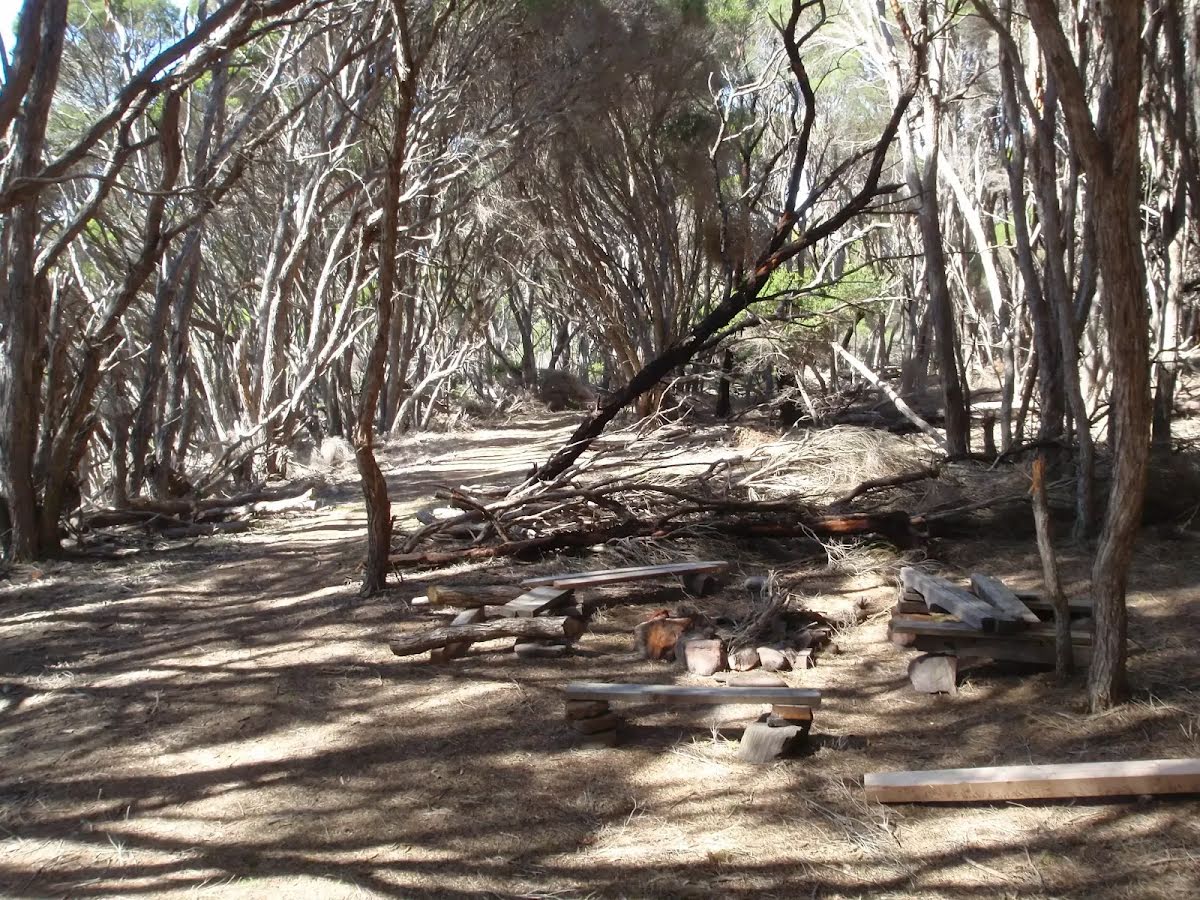
Class 4/6 Hard track |
|---|---|
| Length | 9 km |
| Time | 3 h to 3 h 30 min |
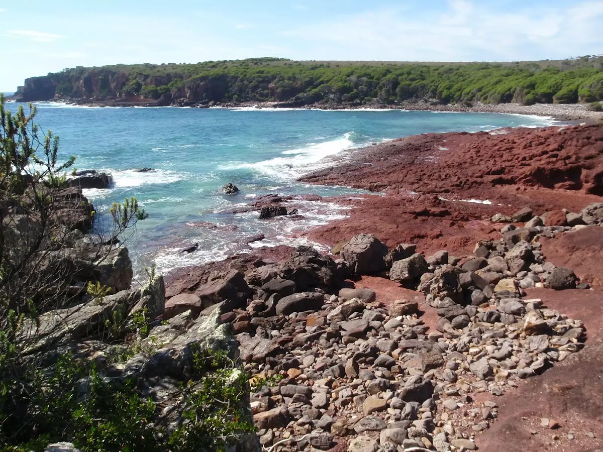
| Quality of track | Rough track, where fallen trees and other obstacles are likely (4/6) |
| Gradient | Very steep (4/6) |
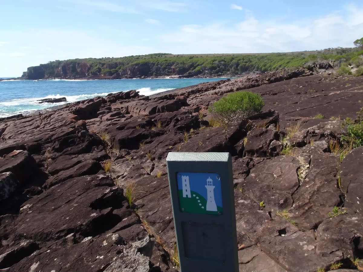
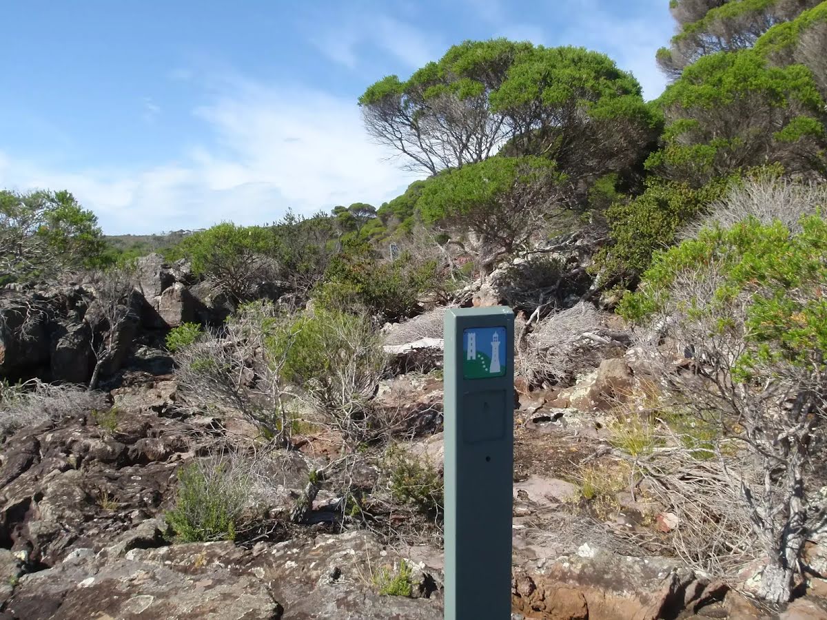
| Signage | Minimal directional signs (4/6) |
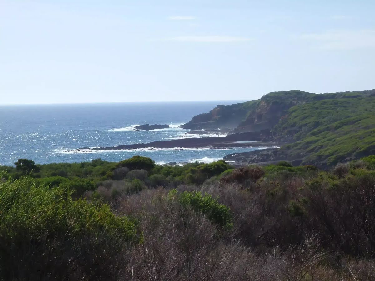
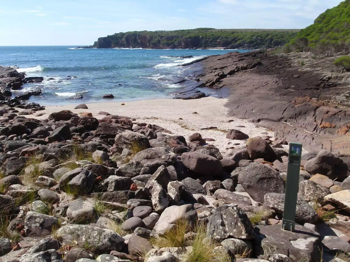
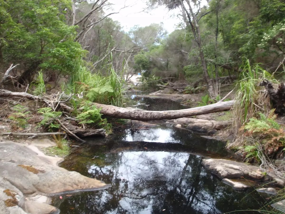
| Infrastructure | Limited facilities (such as cliffs not fenced, significant creeks not bridged) (4/6) |
| Experience Required | No experience required (1/6) |
| Weather | Storms may impact on navigation and safety (3/6) |
| Item | From Start | Name & link to notes |
|---|---|---|
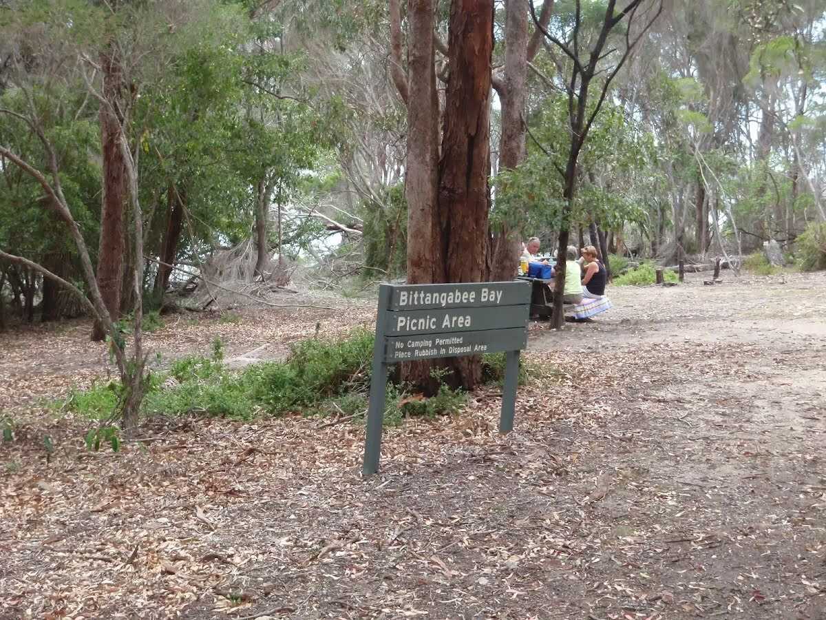
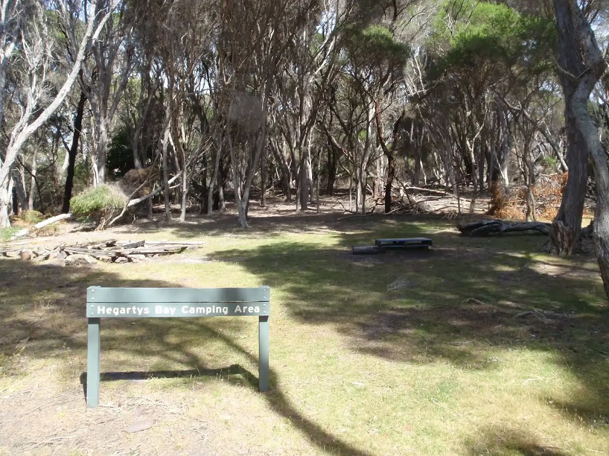
Toilet
| -89 m | [toilet] |
Toilet
| 9.1 km | [toilet] |