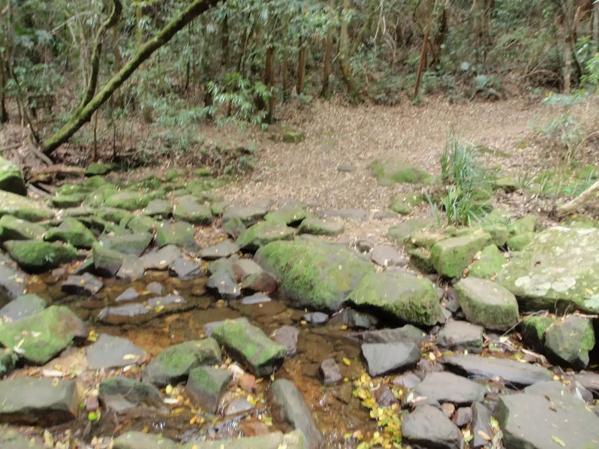
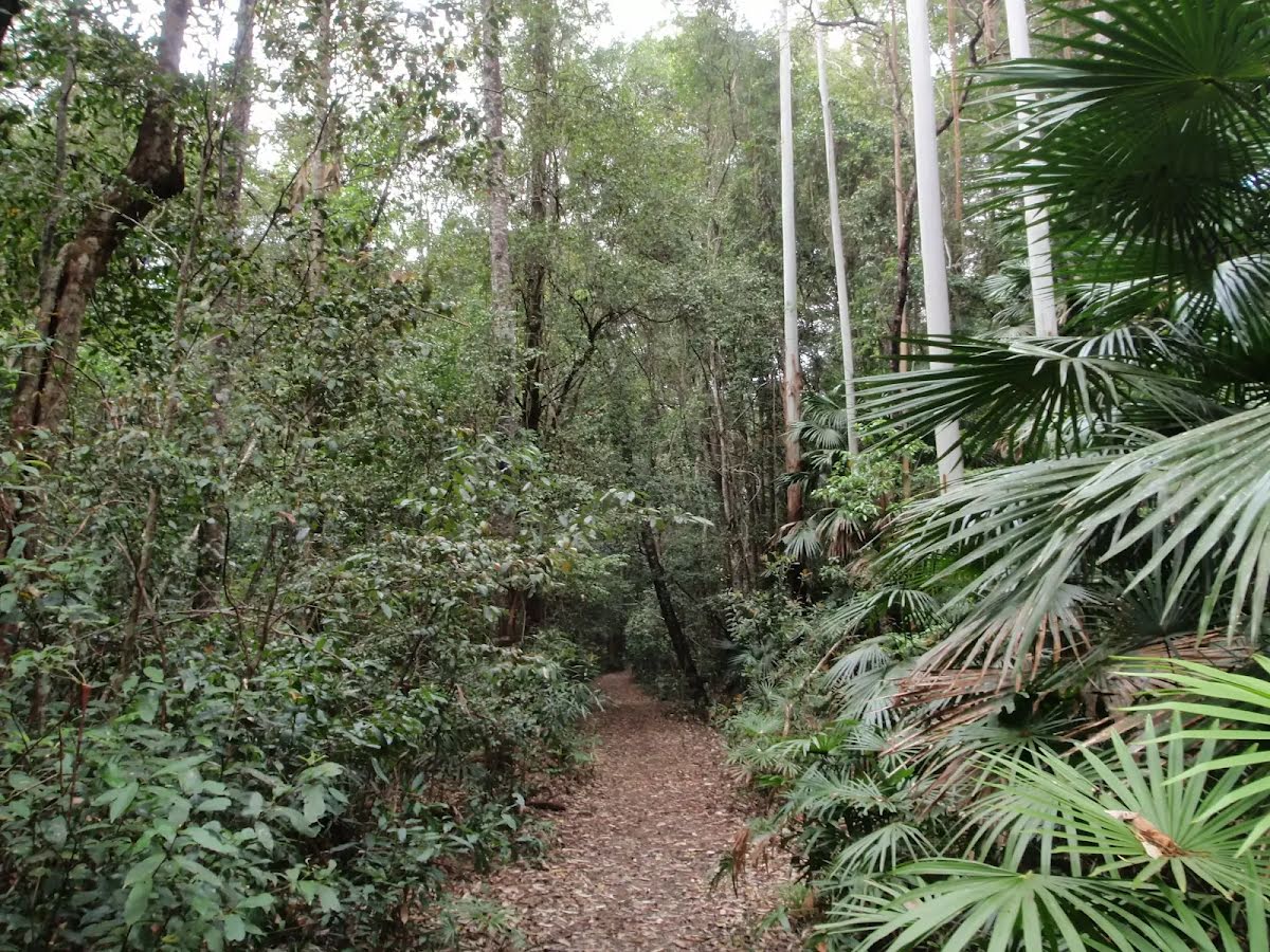
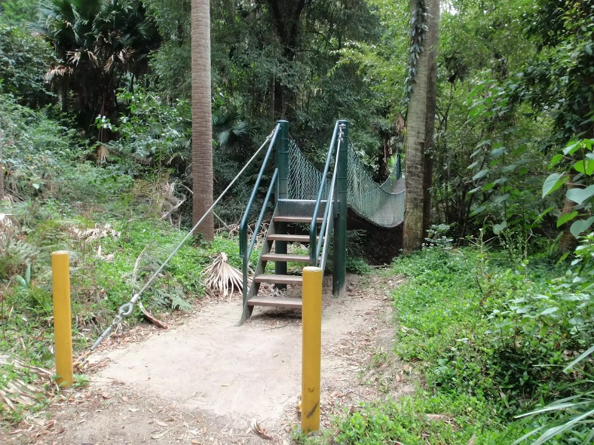
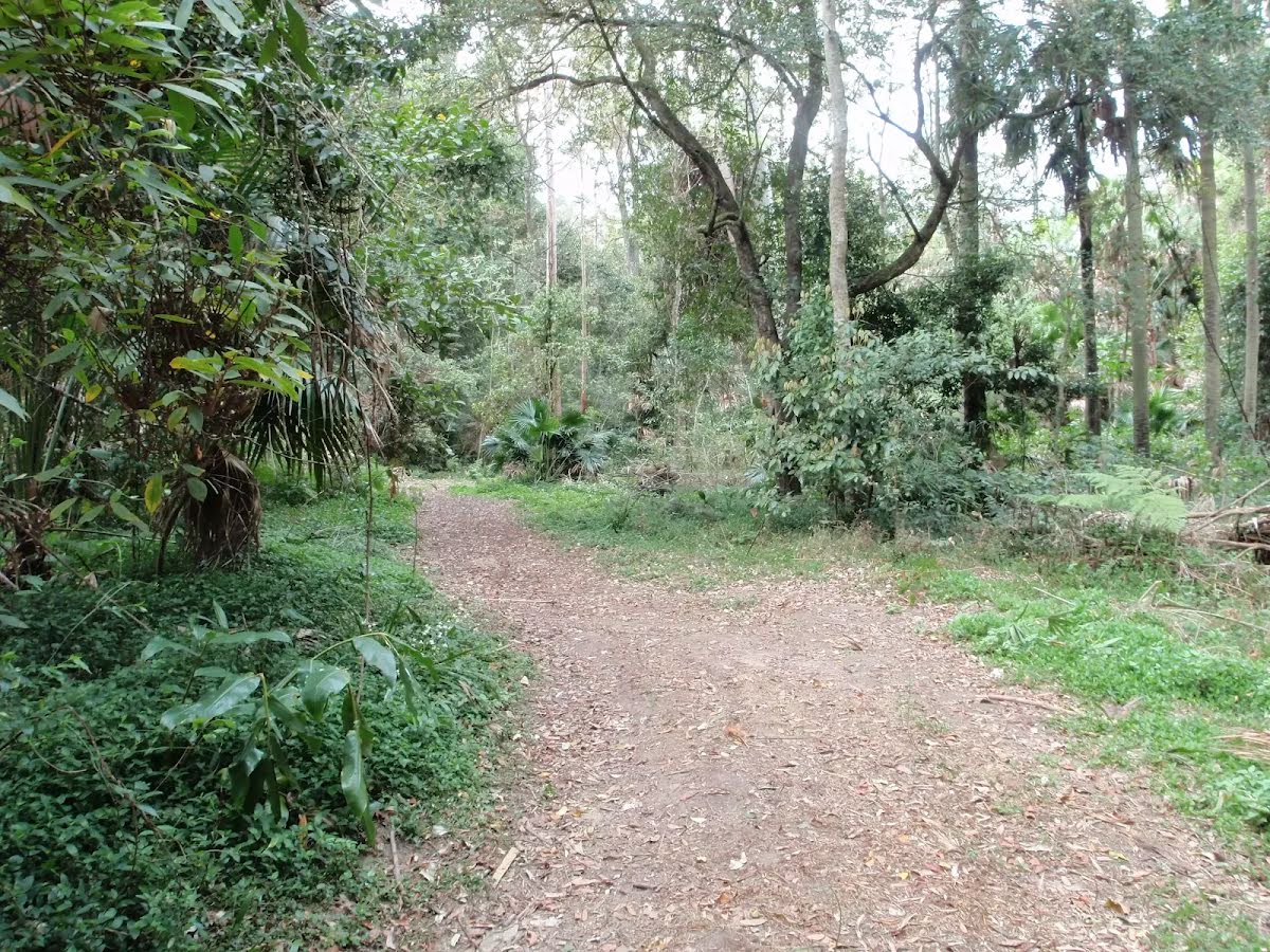
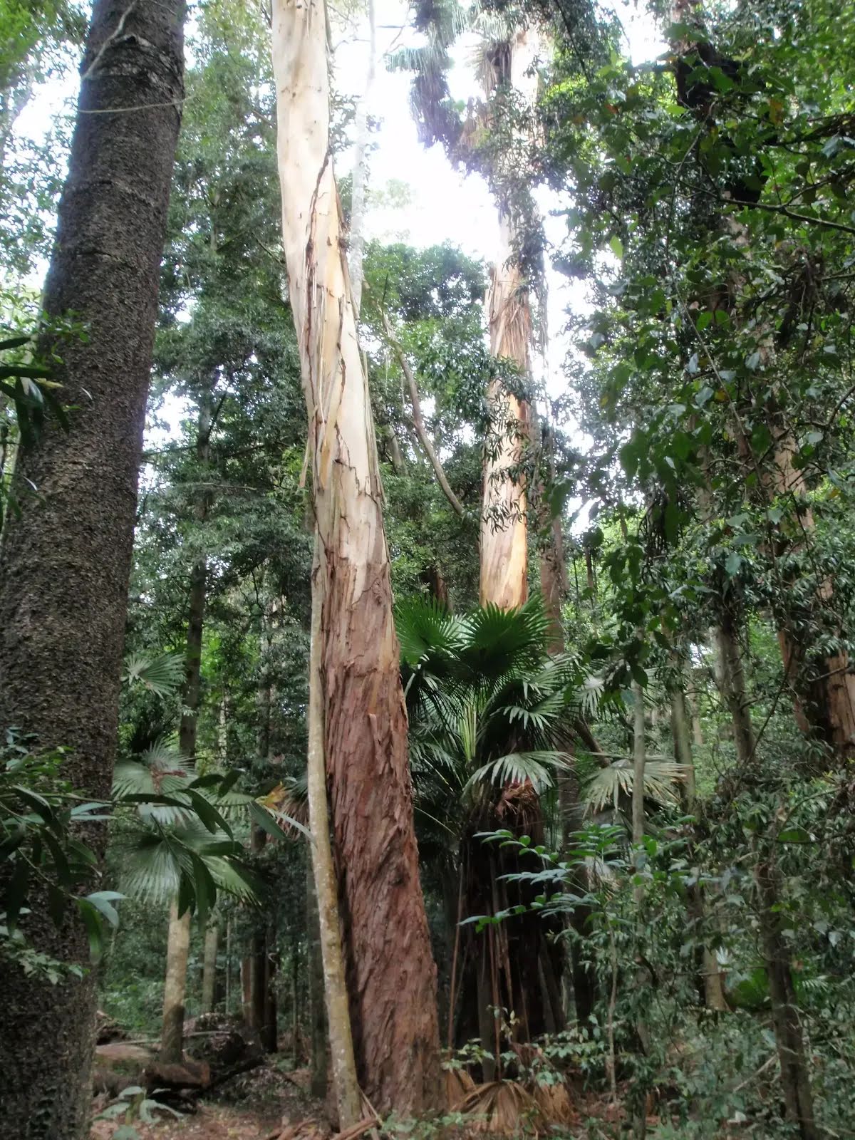
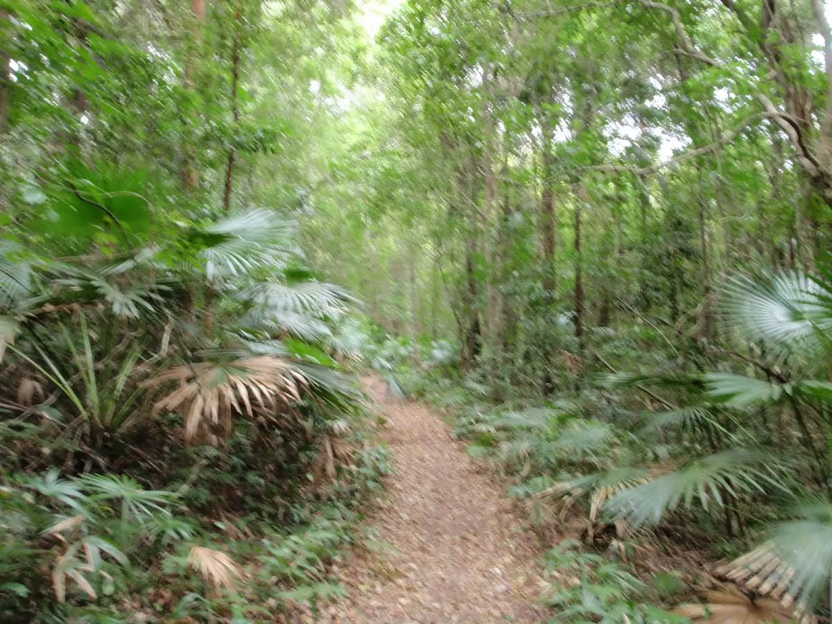
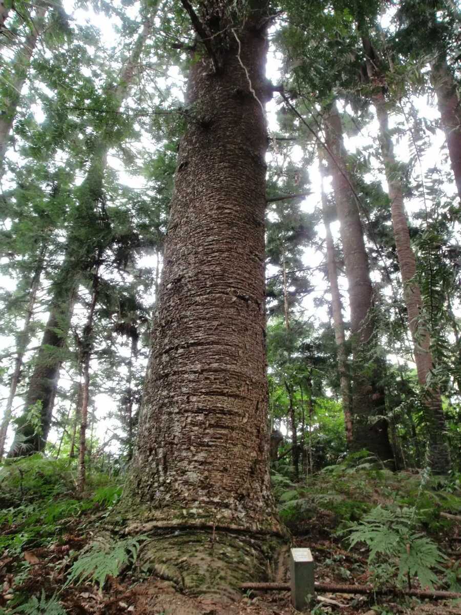
A very nice walk through a mixture of native (regrowth) forest and one of Australia's oldest arboretums. The arboretum has both native and exotic trees, with the plantings dating from 1887-1924. This walk takes you along some of the rainforest-clad creeks of Strickland State Forest, before crossing a small suspension bridge and looping through the arboretum with its stands of huge Hoop Pines, Bunya Pines and others. Let us begin by acknowledging the Darkinjung & Guringai people, Traditional Custodians of the land on which we travel today, and pay our respects to their Elders past and present.
Shaded walking in Strickland. | Photo by admin, 2009.At the creek crossing. | Photo by admin, 2009.Through the forest. | Photo by admin, 2009.Palms and vines. | Photo by admin, 2009.Surrounded by cabbage tree palms. | Photo by admin, 2009.Suspension bridge over Narara creek. | Photo by admin, 2009.Easy walking. | Photo by admin, 2009.Narrow track through beautiful forest. | Photo by admin, 2009.Stepping through. | Photo by admin, 2009.Into the arboretum. | Photo by admin, 2009.Towering Tallowwoods. | Photo by admin, 2009.A natural bridge. | Photo by admin, 2009.Vines. | Photo by admin, 2009.Solid Bunya pine. | Photo by admin, 2009.Moist and green. | Photo by admin, 2009.
Before you start any bushwalk ensure you;
• Tell someone you trust where you are going and what to do if you are overdue
• Have adequate equipment, supplies, skills & knowledge for the whole journey
• Consider the impact of weather forecasts, park/track closures & fire dangers
• Can respond to emergencies & call for help at any point
• Are healthy and fit enough for this journey
If not, change plans and stay safe. It is okay to delay and ask people for help.
Turn right onto Dog Trap Road and drive for another 5 km
Turn right onto Mangrove Road and drive for another 240 m
Turn right onto Strickland Forest Road and drive for another 1.4 km
Keep left onto Strickland Forest Road and drive for another 1.2 km
+
-
Track Notes
Turn by turn instructions & maps
Getting started From the car park, the walk follows the 'Walking Trails' arrow along the management trail. The walk passes an information board, with a map of the walking trails, and continues a short distance to an intersection just before the creek crossing.....
Turn map
Directions & comments
Start.
After another 10 m (at the intersection of Strickland Forest Road & Ridge To Rainforest Track) continue straight, to head along Strickland Forest Road.
Then to find the "Stoney Creek Car Park".
After another 75 m head through the bollard.
After another 5 m (at the intersection of Stoney Creek Trail & Arboretum Trail) turn left, to head along Arboretum Trail.
After another 20 m cross the ford.
After another 420 m (at the intersection of Bellbird Trail & Arboretum Trail) continue straight, to head along Arboretum Trail.
After another 110 m head up the wooden steps (about 3 m long)
Then cross the bridge (about 10 m long)
Then head up the wooden steps (about 3 m long)
After another 15 m (at the intersection of Bellbird Trail & Arboretum Trail) continue straight, to head along Arboretum Trail.
After another 210 m find the "Strickland State Forest Arboretum" (5 m on your left).
Strickland State Forest Arboretum
This arboretum is apparently one of the oldest in Australia, with plantings dating from 1887-1924. Numerous signs have been placed along the walking tracks to identify some of the species of trees. There are very tall, and impressive, examples of Hoop Pine, Bunya Pine, Tallow Wood and Red Cedar.
+
-
This arboretum is apparently one of the oldest in Australia, with plantings dating from 1887-1924. Numerous signs have been placed along the walking tracks to identify some of the species of trees. There are very tall, and impressive, examples of Hoop Pine, Bunya Pine, Tallow Wood and Red Cedar.
After another 325 m veer right.
After another 250 m continue straight.
After another 195 m (at the intersection of Arboretum Trail & Bellbird Trail) continue straight, to head along Arboretum Trail.
After another 20 m cross the bridge (about 10 m long)
After another 115 m (at the intersection of Arboretum Trail & Bellbird Trail) continue straight, to head along Arboretum Trail.
After another 440 m (at the intersection of Arboretum Trail & Stoney Creek Trail) turn right.
After another 80 m (at the intersection of Strickland Forest Road & Ridge To Rainforest Track) continue straight, to head along Strickland Forest Road.
After another 10 m come to the end.
+
-
Terrain
Know the Hills, grading & facilities
Arboretum Loop Trail
Grading
Class 3/6
Moderate track
Length
2.3 km
Time
50 min to 1 h
Quality of track
Formed track, with some branches and other obstacles (3/6)
Gradient
Gentle hills with occasional steps (2/6)
Signage
Directional signs along the way (3/6)
Infrastructure
Limited facilities, not all cliffs are fenced (3/6)