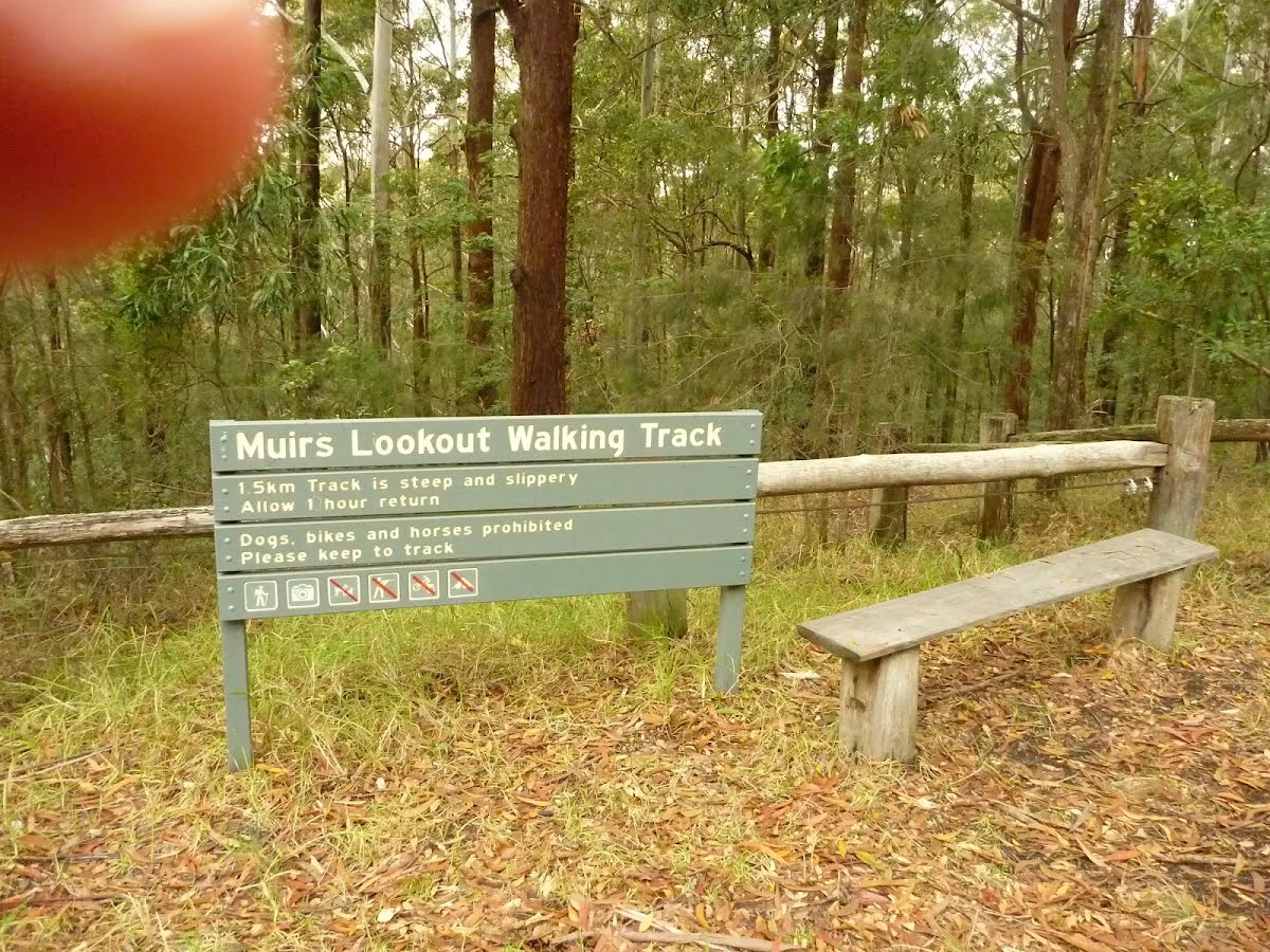
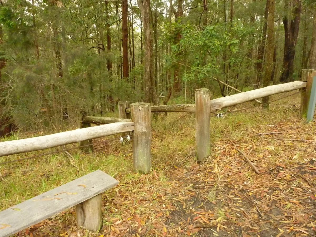
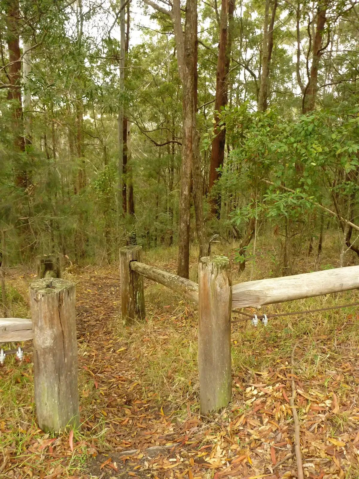
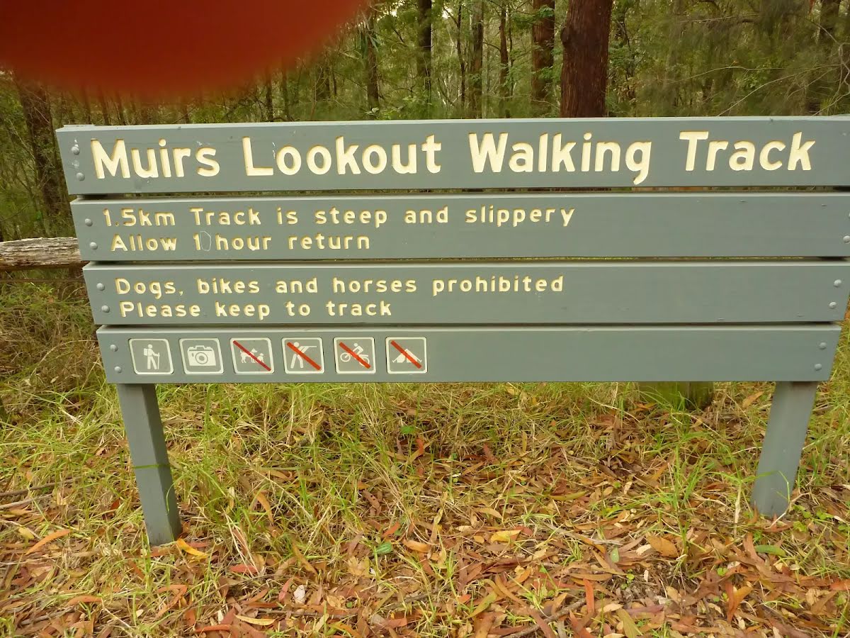
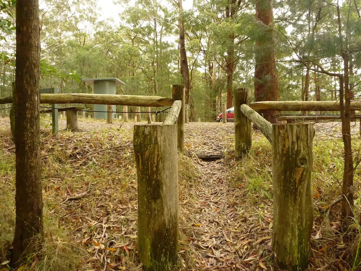
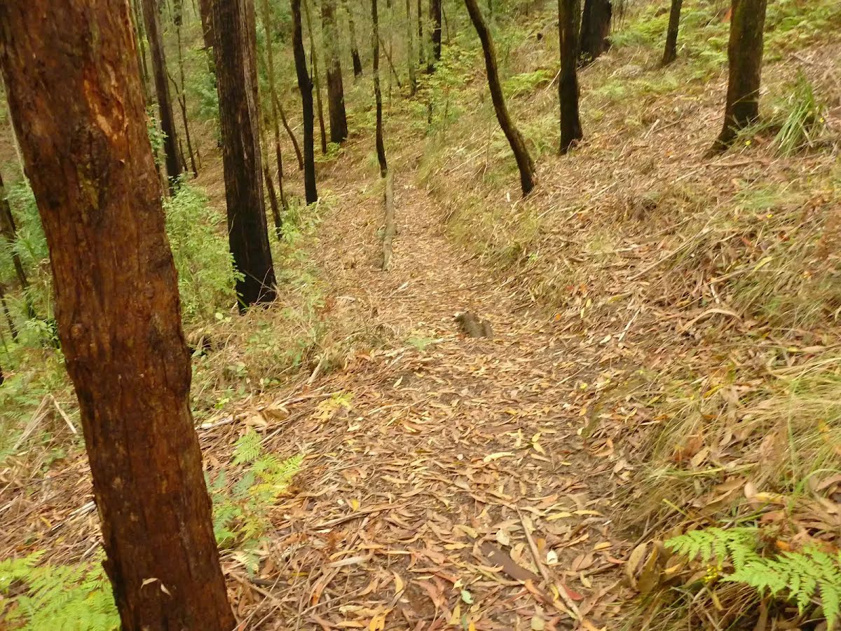
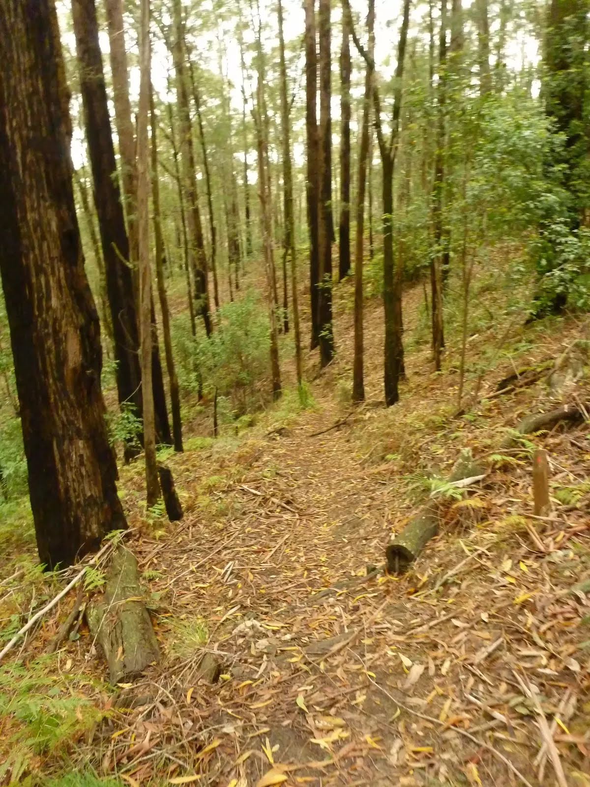
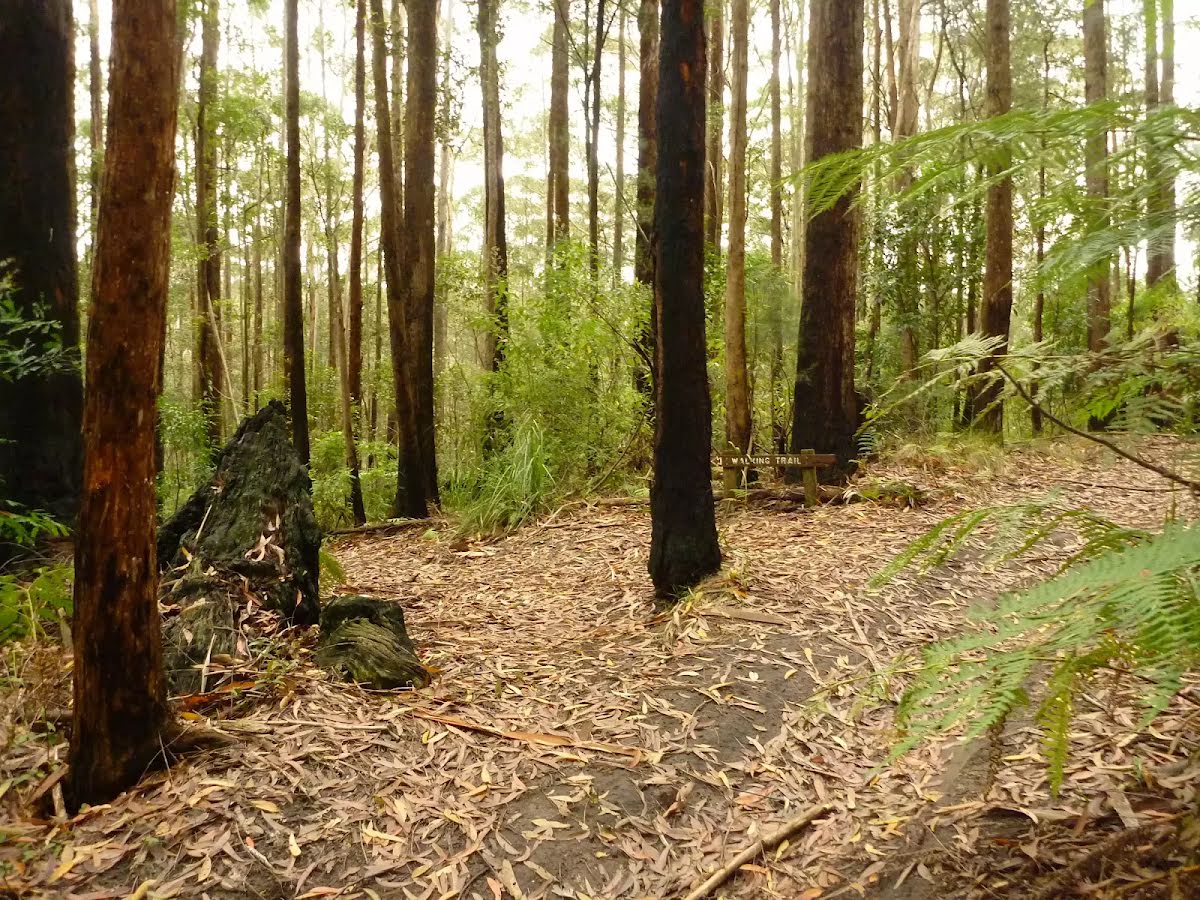
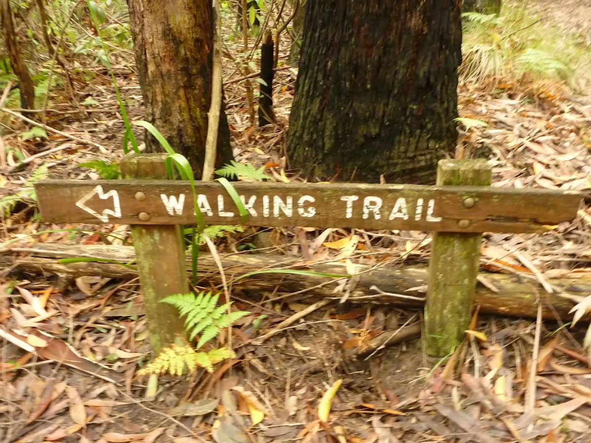
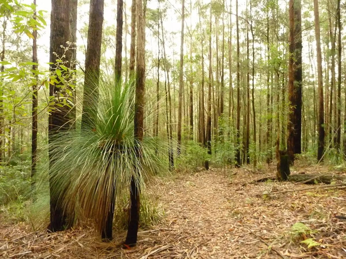
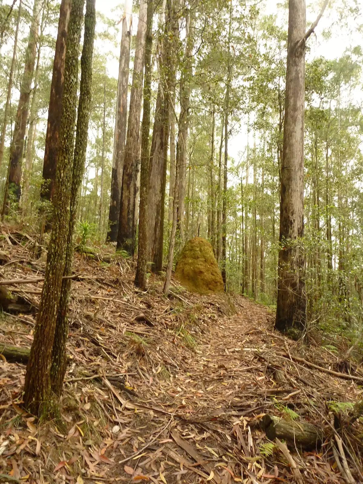
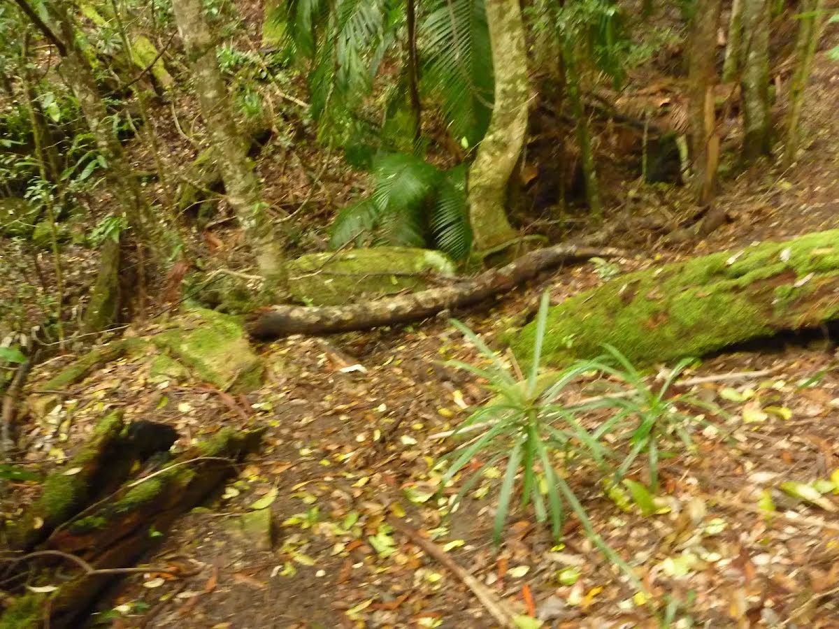
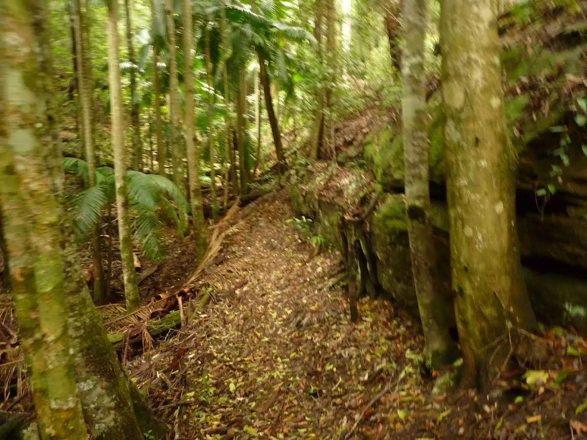
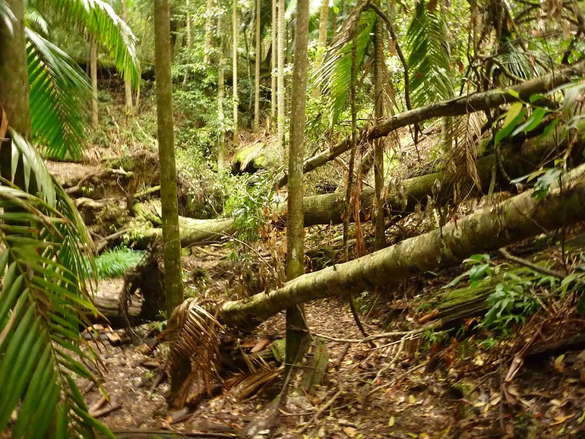
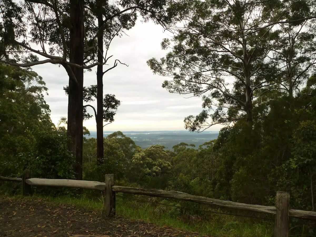
This is a good walk on a hot day. This walk leaves Muirs Lookout and descends through healthy blackbutt and blue gum forest to find a moist rainforest of ferns and mosses. A quiet sit and picnic within the rainforest would be lovely. This walk returns the same way you have come. Let us begin by acknowledging the Darkinjung & Guringai people, Traditional Custodians of the land on which we travel today, and pay our respects to their Elders past and present.
Muirs Lookout walking track sign near Cooranbong. | Photo by admin, 2010.Start to Muirs Walking Track near Cooranbong. | Photo by admin, 2010.Start to Muirs Walking Track near Cooranbong. | Photo by admin, 2010.Sign at Muirs Lookout near Cooranbong. | Photo by admin, 2010.Looking up to Muirs Mookout car park near Cooranbong. | Photo by admin, 2010.Track near Muirs Lookout. | Photo by admin, 2010.Track near Muirs Lookout Cooranbong. | Photo by admin, 2010.Forest and track near Muirs Lookout. | Photo by admin, 2010.Forest and track near Muirs Lookout. | Photo by admin, 2010.Forest near Cooranbong. | Photo by admin, 2010.Walking trail sign near Muirs Lookout Cooranbong. | Photo by admin, 2010.Track and bush near Muirs Lookout. | Photo by admin, 2010.Cut tree trunk near Muirs Lookout. | Photo by admin, 2010.Steep track near Muirs Lookout. | Photo by admin, 2010.Moist rainforest and track near Muirs Lookout. | Photo by admin, 2010.Moist rainforest and track near Muirs Lookout. | Photo by admin, 2010.No. 16 timber post in rainforest near Muirs Lookout. | Photo by admin, 2010.Ferns and forest near Muirs Lookout. | Photo by admin, 2010.
Before you start any bushwalk ensure you;
• Tell someone you trust where you are going and what to do if you are overdue
• Have adequate equipment, supplies, skills & knowledge for the whole journey
• Consider the impact of weather forecasts, park/track closures & fire dangers
• Can respond to emergencies & call for help at any point
• Are healthy and fit enough for this journey
If not, change plans and stay safe. It is okay to delay and ask people for help.
Turn on to Martinsville Road then drive for 4.5 km
Turn left onto Watagan Road and drive for another 7.1 km
Turn sharp left onto Watagan Forest Road and drive for another 940 m
Turn left onto Prickly Ridge Road and drive for another 2.7 km
Keep right and drive for another 125 m
+
-
Track Notes
Turn by turn instructions & maps
Getting started From Muirs Lookout and car park, this walk follows the track moderately steeply downhill, passing a 'Muirs Lookout Walking Track' sign(on your left) and walking between timber posts. Then this walk continues to follow the track through blackbutt and bluegum forest for about 800m, until coming to a No.16 timber post and moist rainforest gully.....
Turn map
Directions & comments
Start heading along Muirs Lookout Walking Track.
Find the toilet at the start.
Find the Muirs Lookout at the start.
Muirs Lookout
Muirs Lookout
Muirs Lookout on Prickly Ridge Road, in the Jilliby State Conservation Area, offers scenic views from Lake Macquarie to Tuggerah Lakes. The picnic area is supplied with fireplaces, firewood, picnic tables, toilets and water (treat water before use - water maybe unavailable). The lookout is surrounded by blackbutt and bluegum trees.
+
-
Muirs Lookout on Prickly Ridge Road, in the Jilliby State Conservation Area, offers scenic views from Lake Macquarie to Tuggerah Lakes. The picnic area is supplied with fireplaces, firewood, picnic tables, toilets and water (treat water before use - water maybe unavailable). The lookout is surrounded by blackbutt and bluegum trees.
After another 660 m come to "Rainforest at No.16 timber post".
Rainforest at No.16 timber post
At the No. 16 timber post (along the Muirs walking trail), you are in a beautiful rainforest gully surrounded by a lush moist forest of cycads, ferns and mosses, with towering blackbutt and bluegum trees above. This cool moist spot is a great place to spend time on a hot dry day.
+
-
At the No. 16 timber post (along the Muirs walking trail), you are in a beautiful rainforest gully surrounded by a lush moist forest of cycads, ferns and mosses, with towering blackbutt and bluegum trees above. This cool moist spot is a great place to spend time on a hot dry day.
Turn around here and retrace the main route for 680 m to get back to the start.
+
-
Terrain
Know the Hills, grading & facilities
Muirs Rainforest Walk
Grading
Class 3/6
Moderate track
Length
1.4 km
Time
40 min to 1 h
Quality of track
Formed track, with some branches and other obstacles (3/6)
Gradient
Short steep hills (3/6)
Signage
Directional signs along the way (3/6)
Infrastructure
Limited facilities, not all cliffs are fenced (3/6)
Experience Required
Some bushwalking experience recommended (3/6)
Weather
Weather generally has little impact on safety (1/6)