| Turn map |
Directions & comments |
|
|

At the intersection of Langston Place & Cambridge Street Start heading along Oxford Street (a highway|tertiary).

Epping Indian Take Away (about 140 m back from the start). This fast-food restaurant is wheelchair accessible.
Epping Star Kebabs (about 120 m back from the start).
Th,Su-Tu 10:00-22:00
We,Fr,Sa 10:00-24:00
There is a cafe (about 30 m back from the start).

After 235 m pass the shelter (9 m on your left).
After another 35 m pass the "Sushi Aka" (15 m on your left).
After another 65 m pass the "Dominino's Pizza" (15 m on your left).
|
|
|

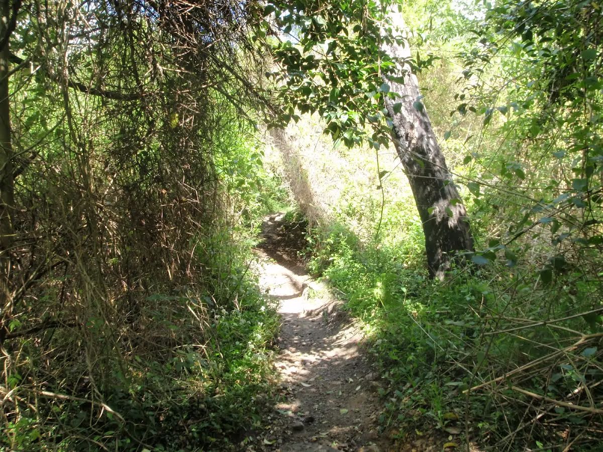
After another 65 m continue straight.
|
|
|
After another 200 m continue straight.
|
|
|

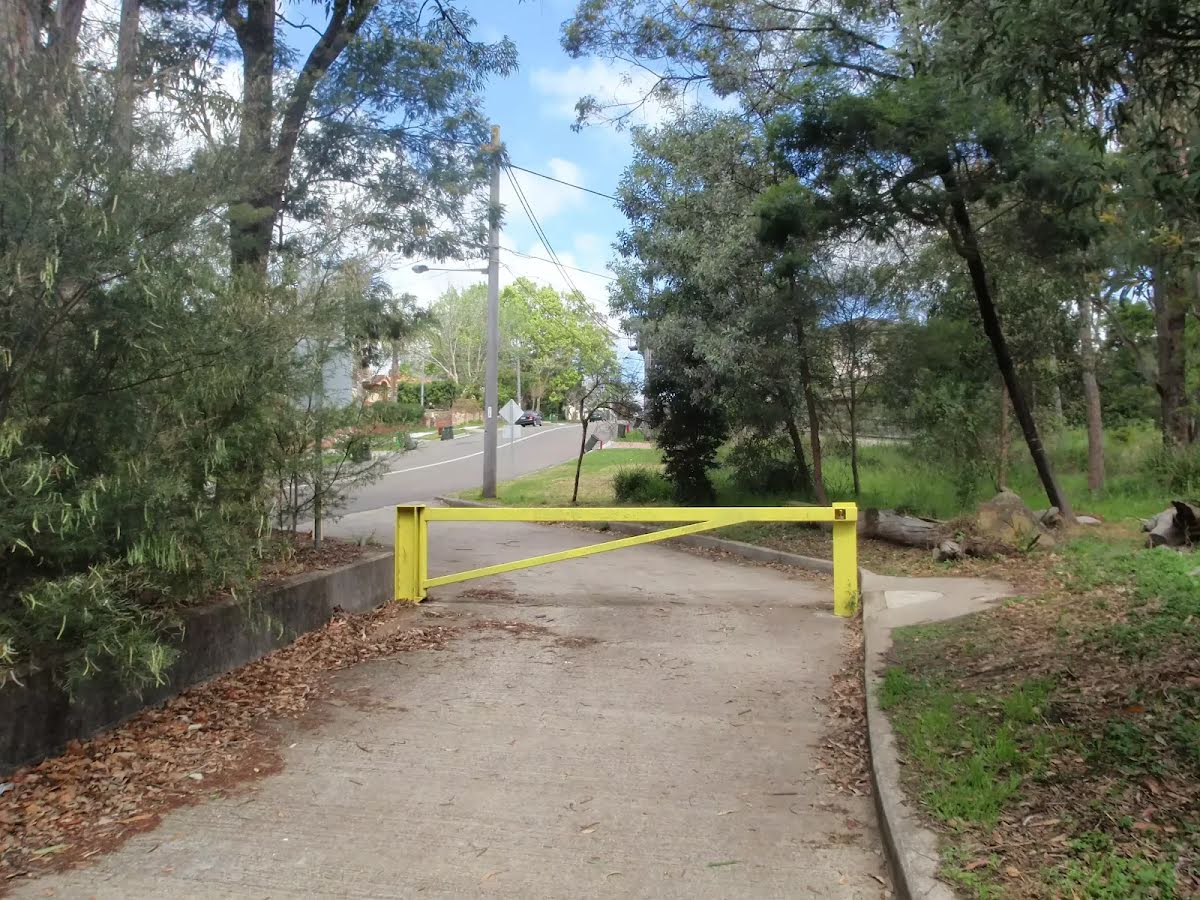
After another 15 m turn left.
|
|
|
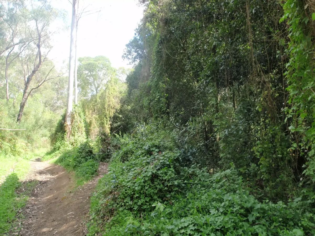
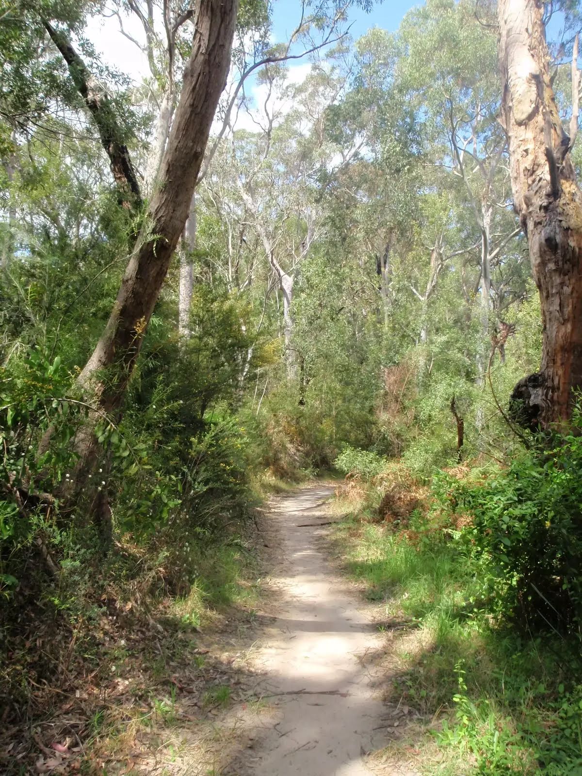
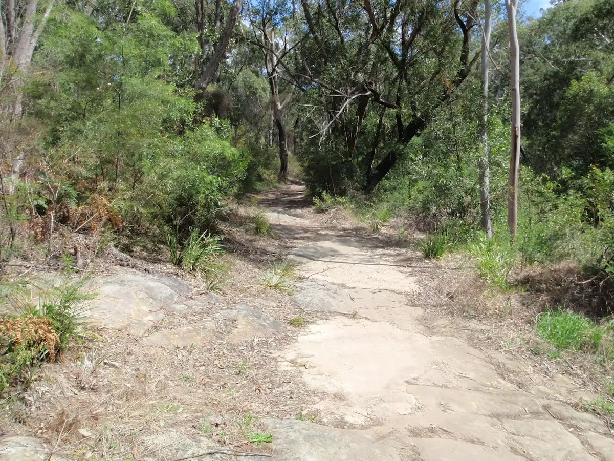
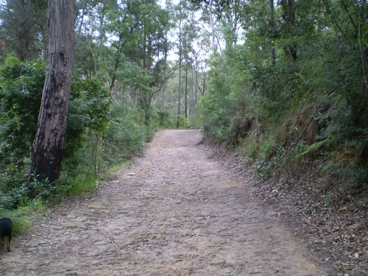
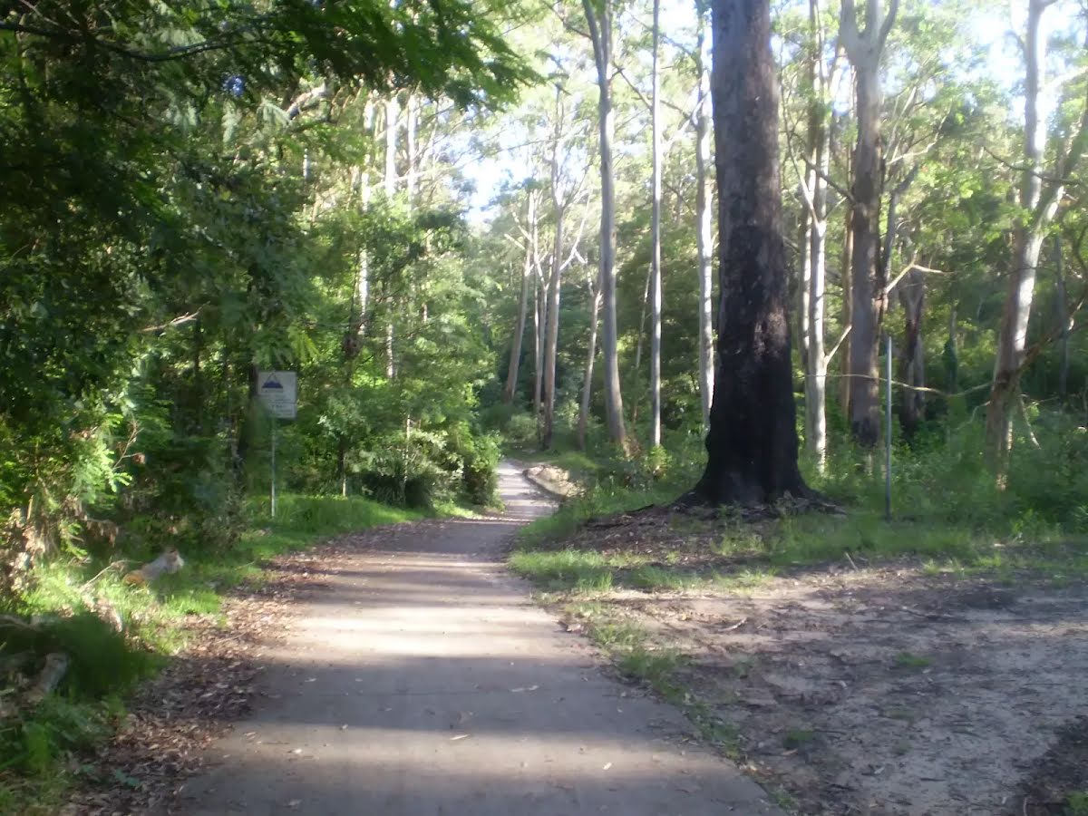
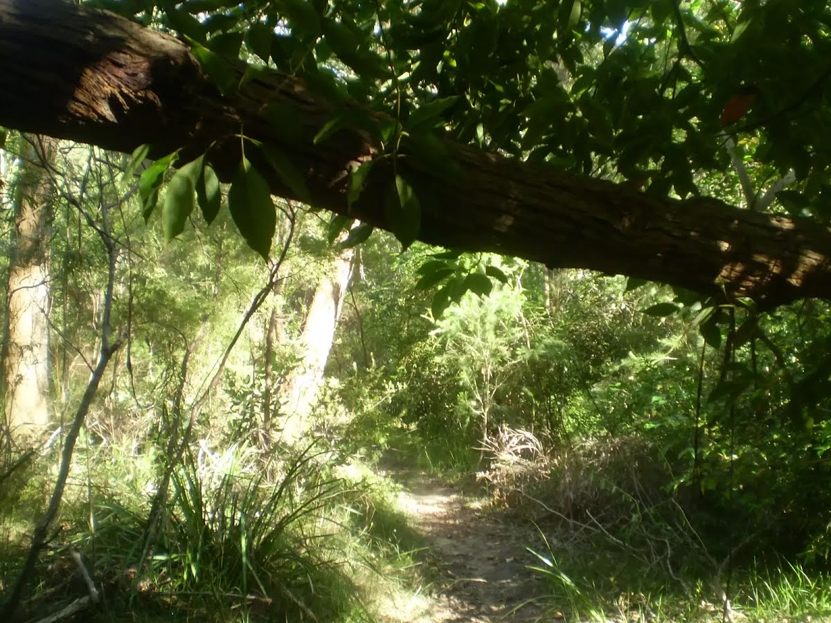
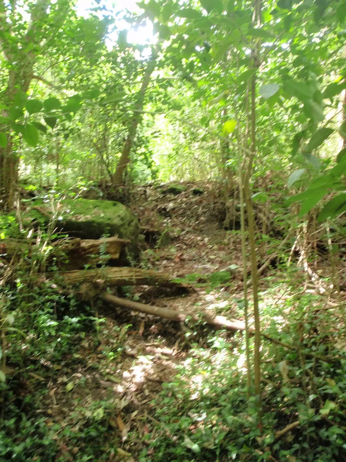
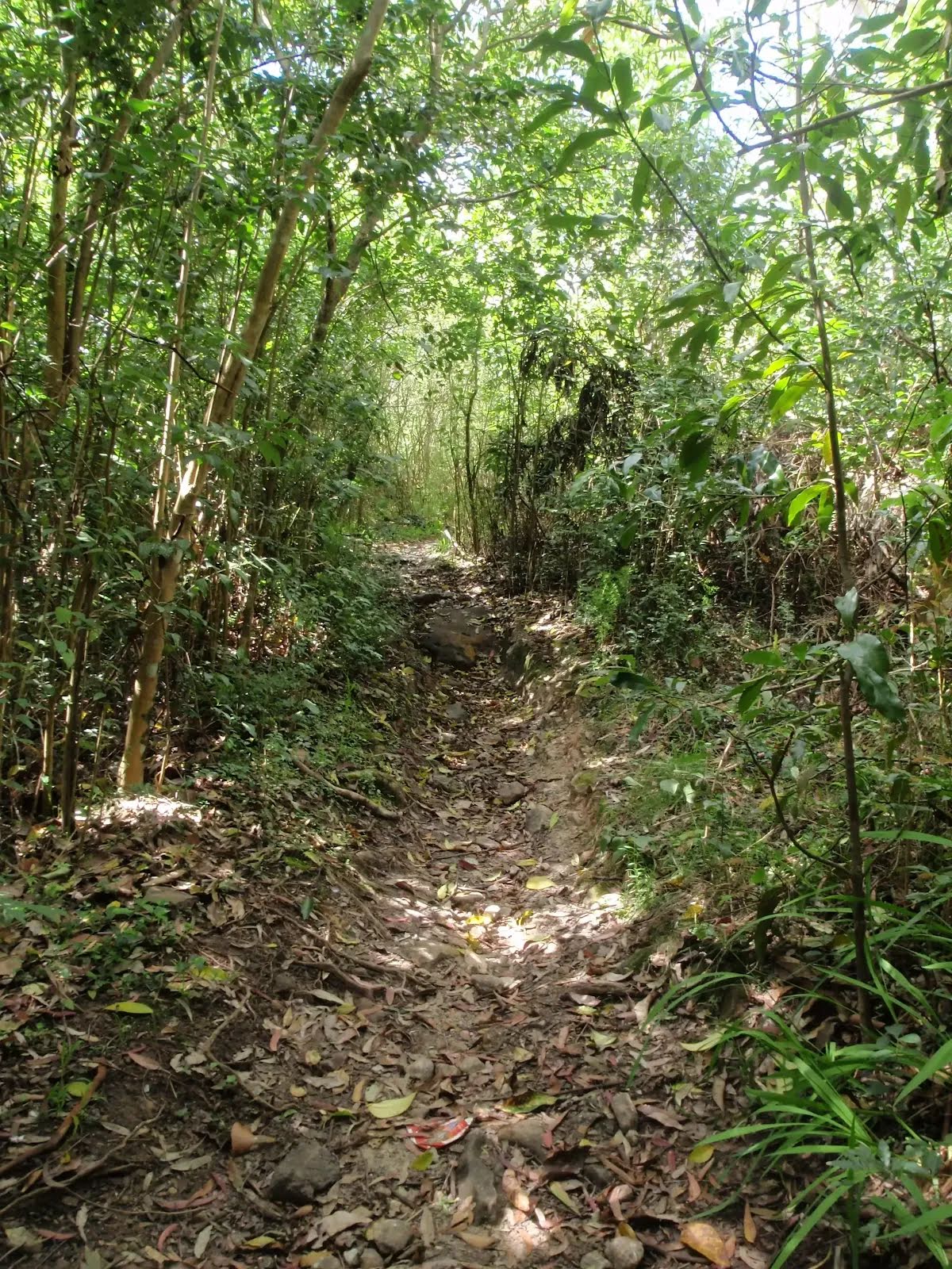
After another 275 m (from the Derby Street) continue straight (a vehicle track).
|
|
|

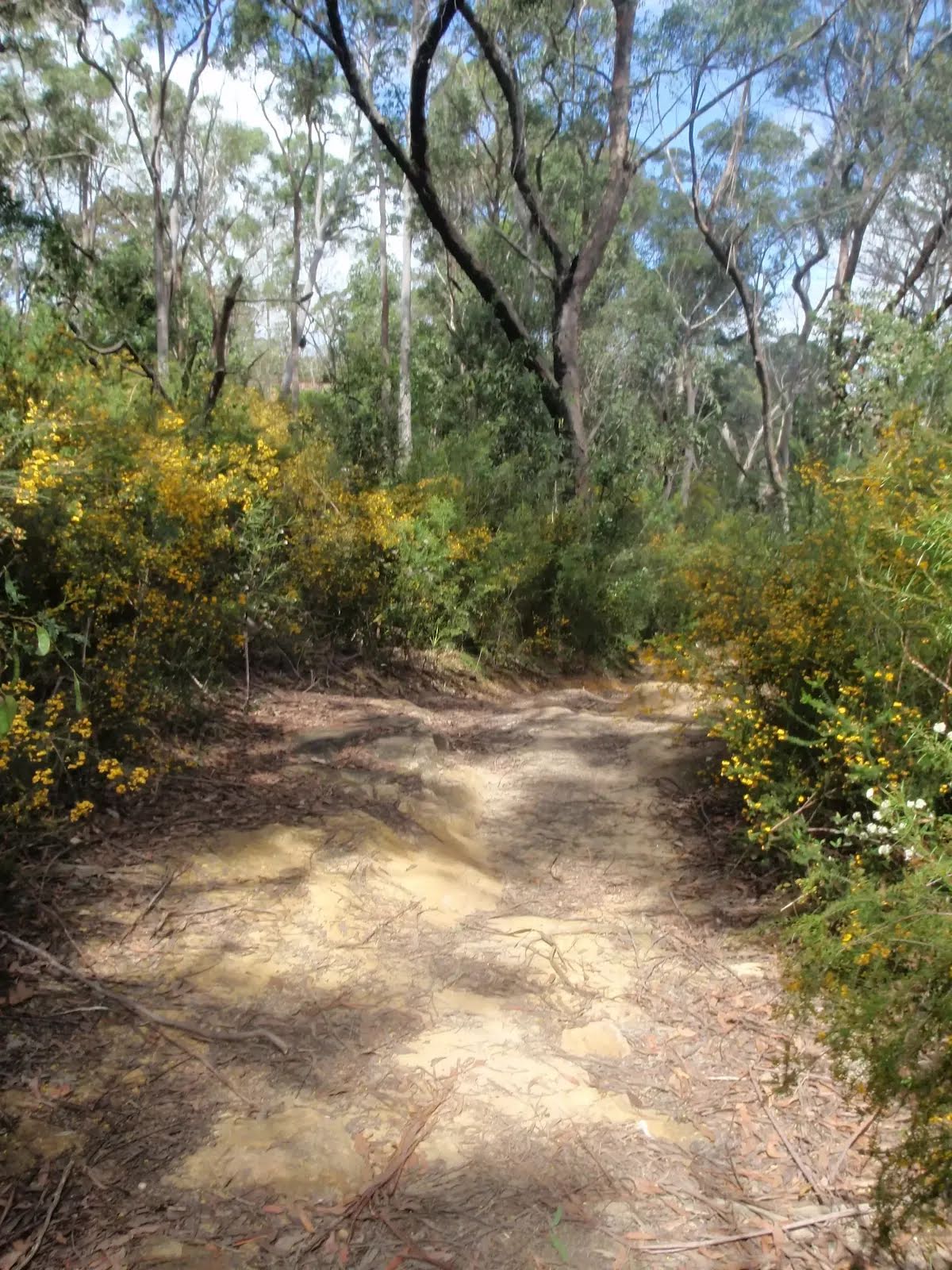
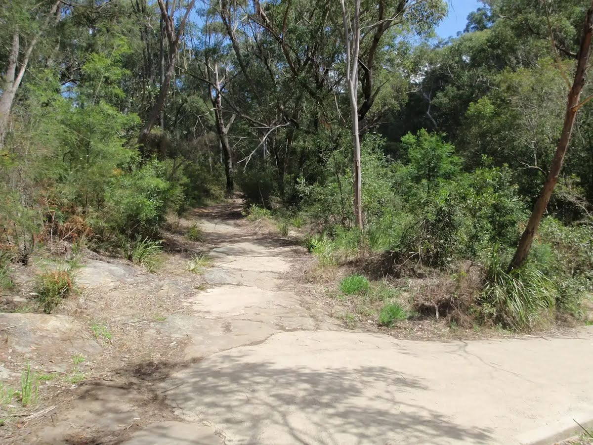
After another 60 m veer right.

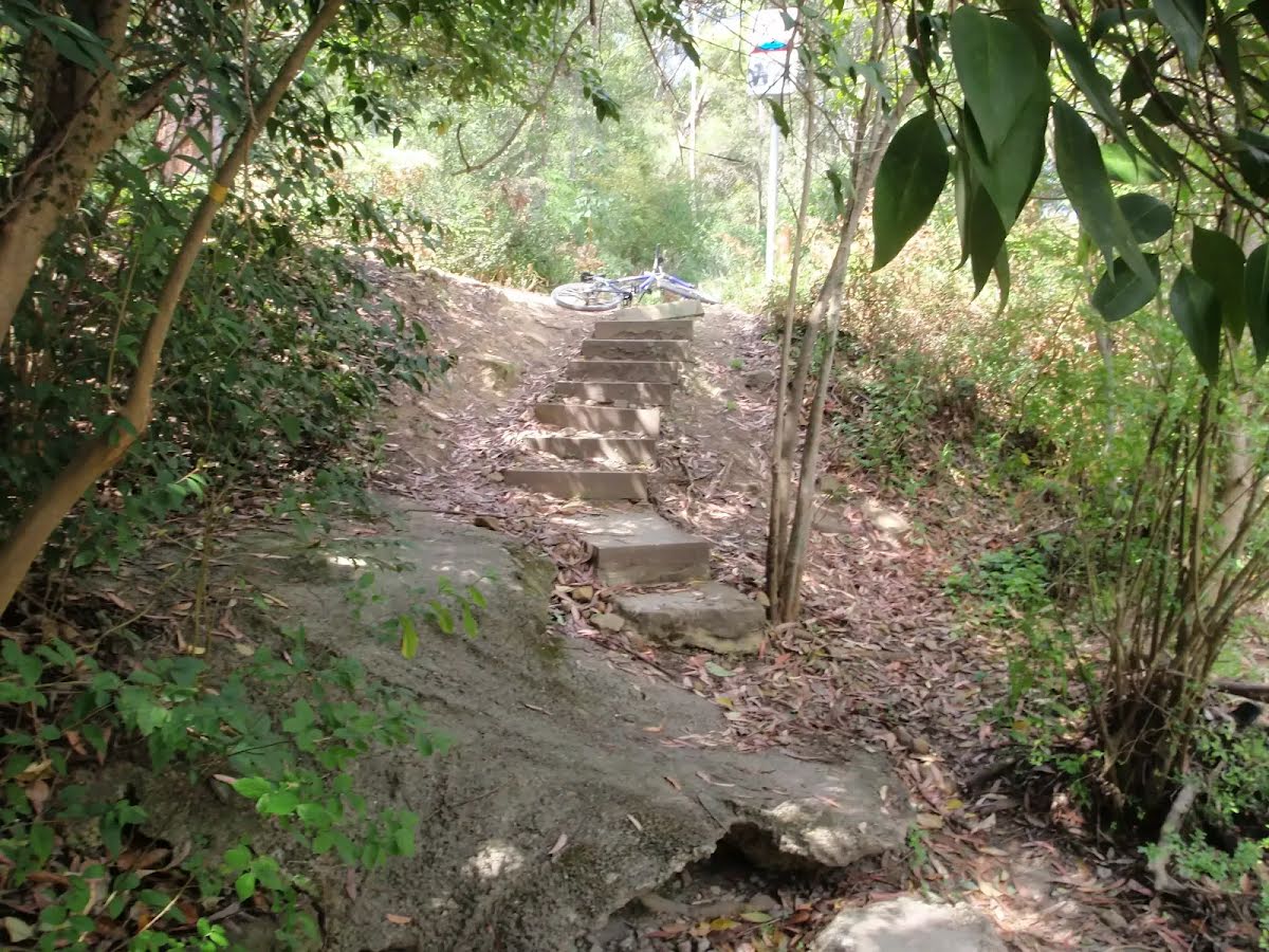
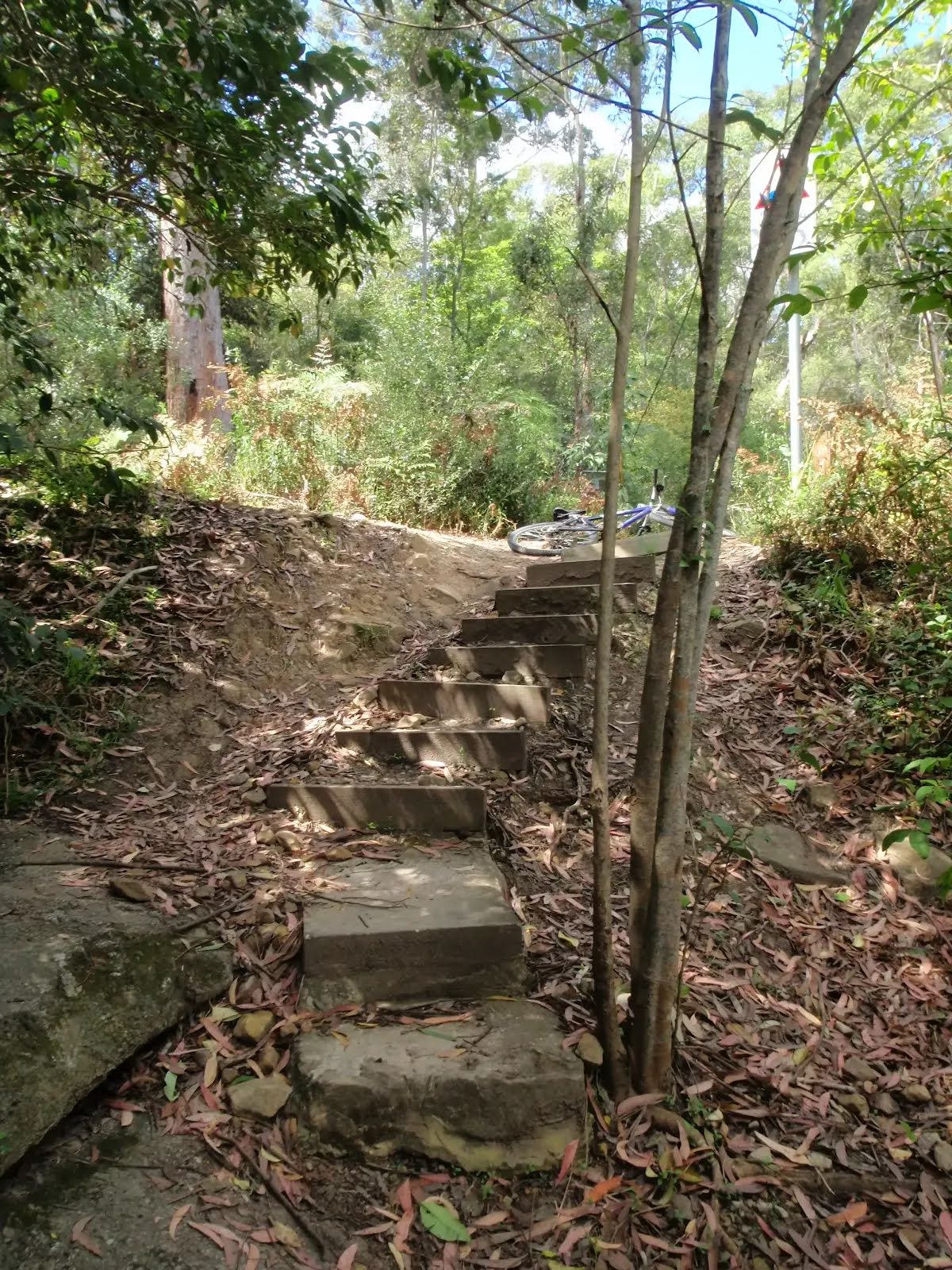
Then head down the concrete steps (about 6 m long)
Then head down the concrete steps (about 4 m long)
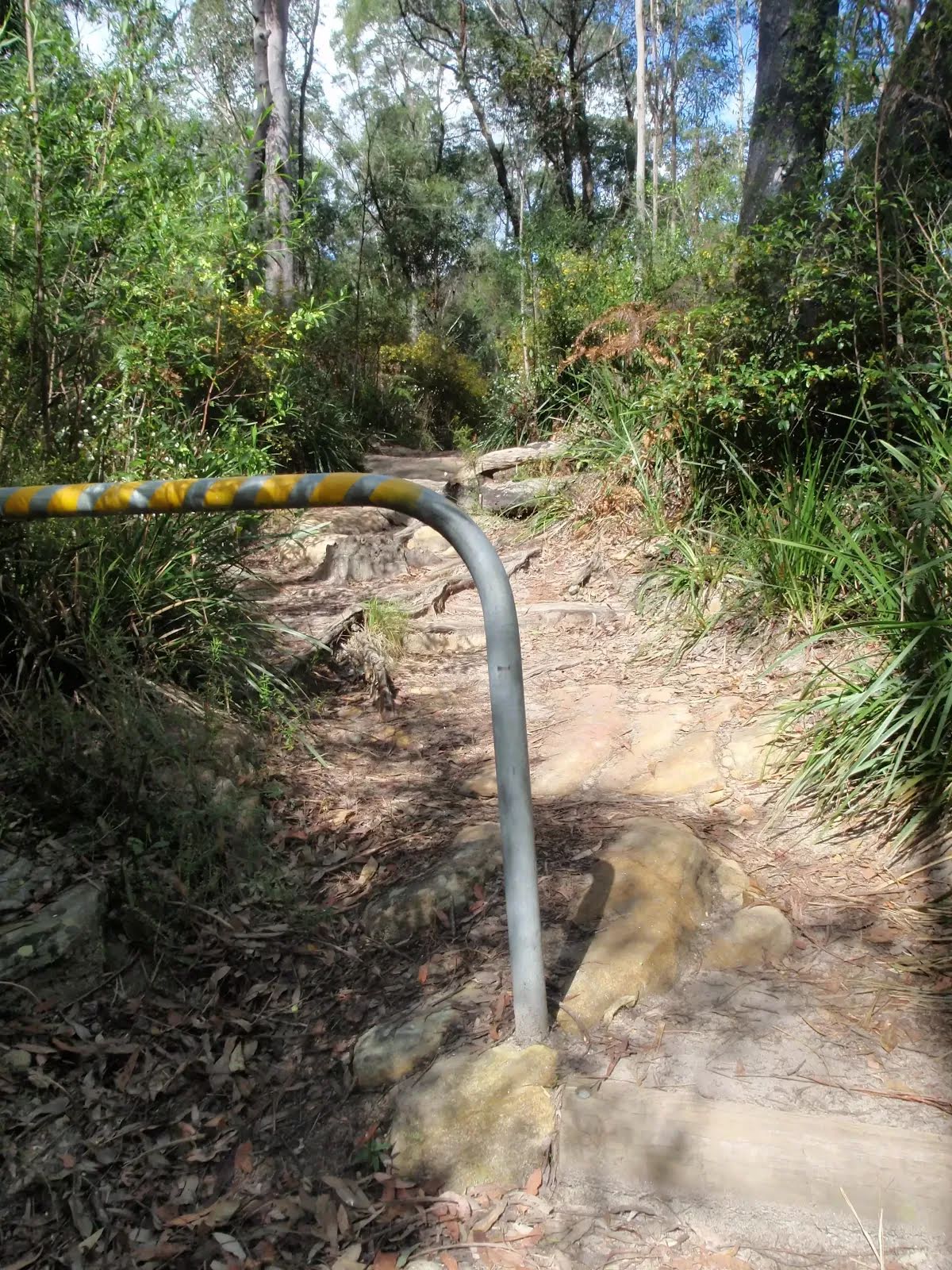
After another 345 m head down the steps (about 30 m long)
|
|
|

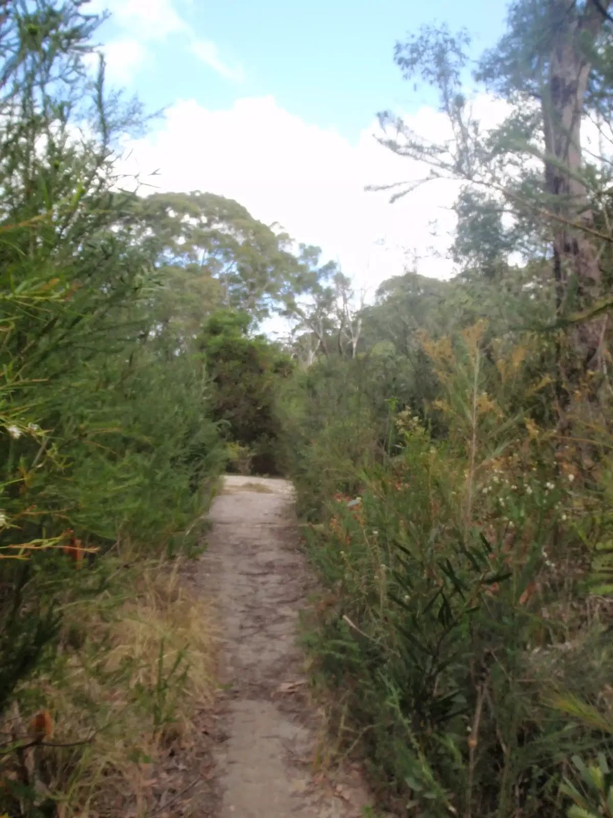
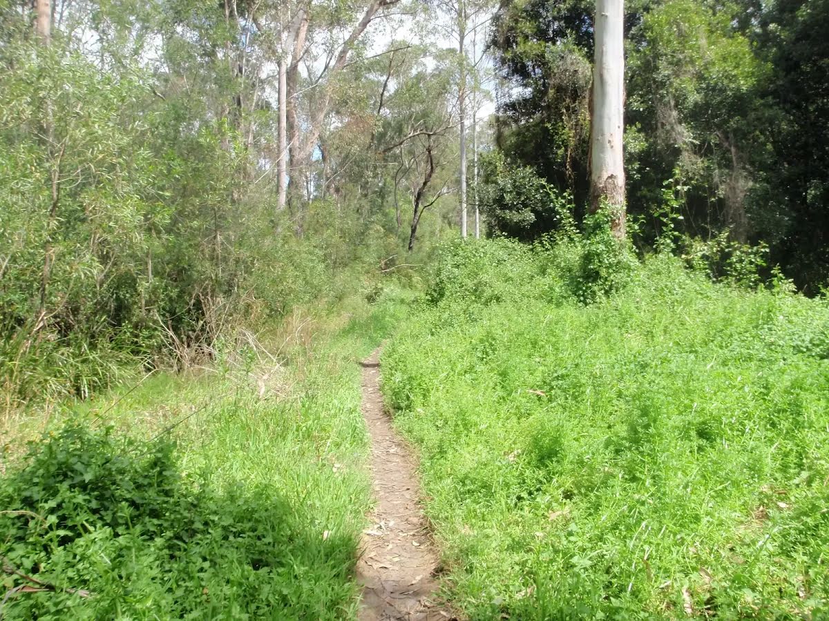
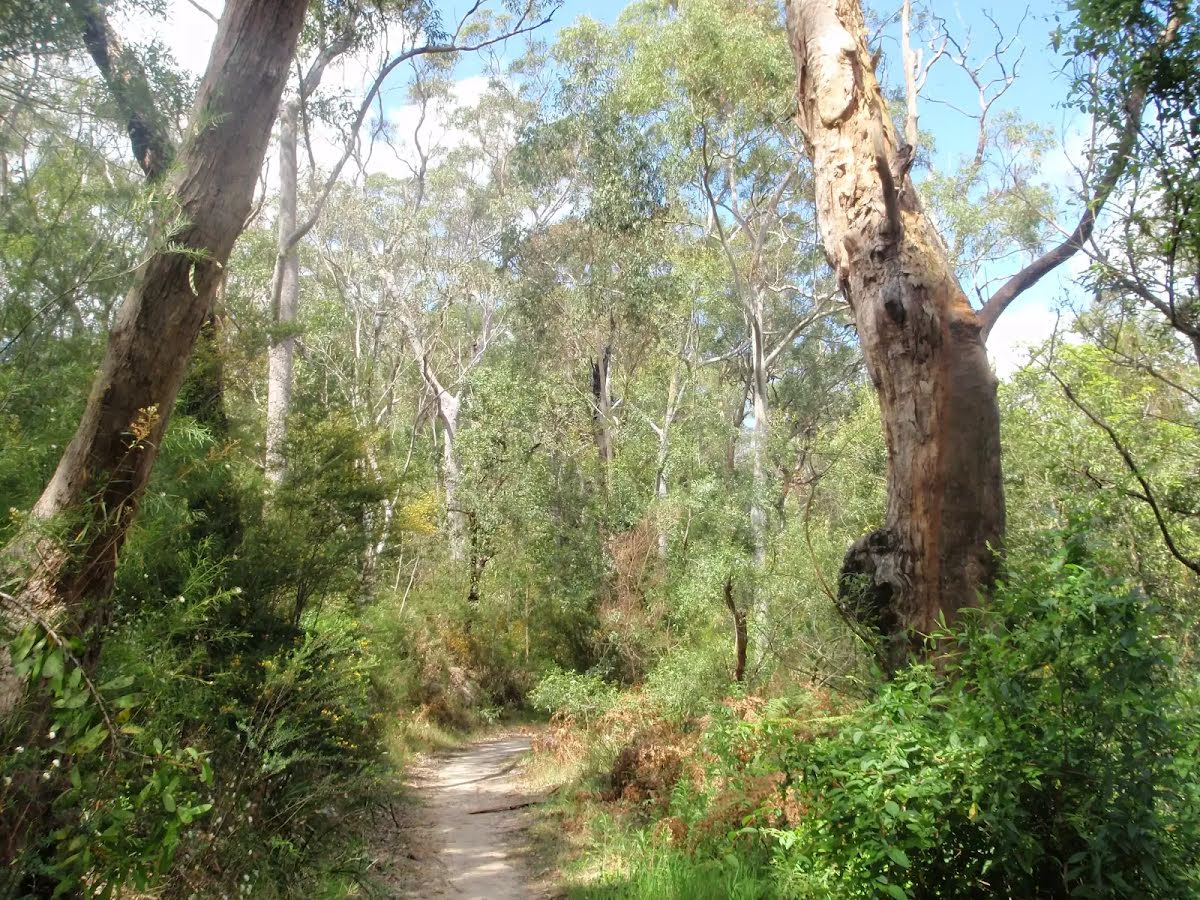
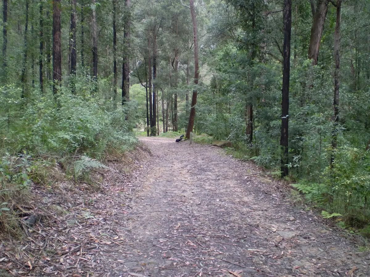
After another 480 m veer left.

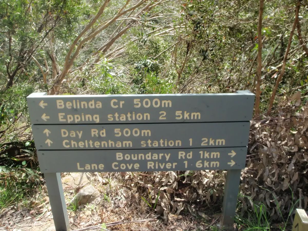
After another 25 m pass the sign (10 m on your left).
|
|
|
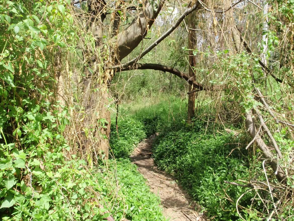
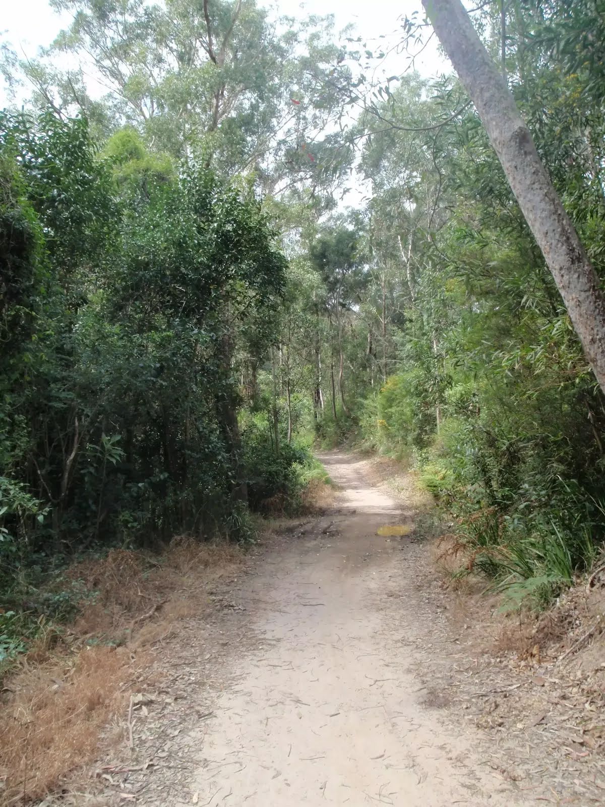
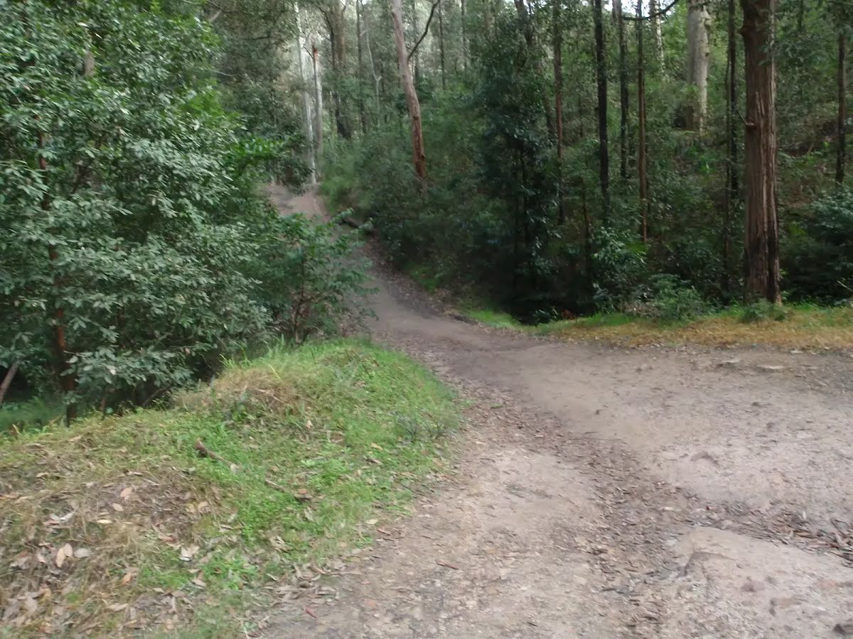
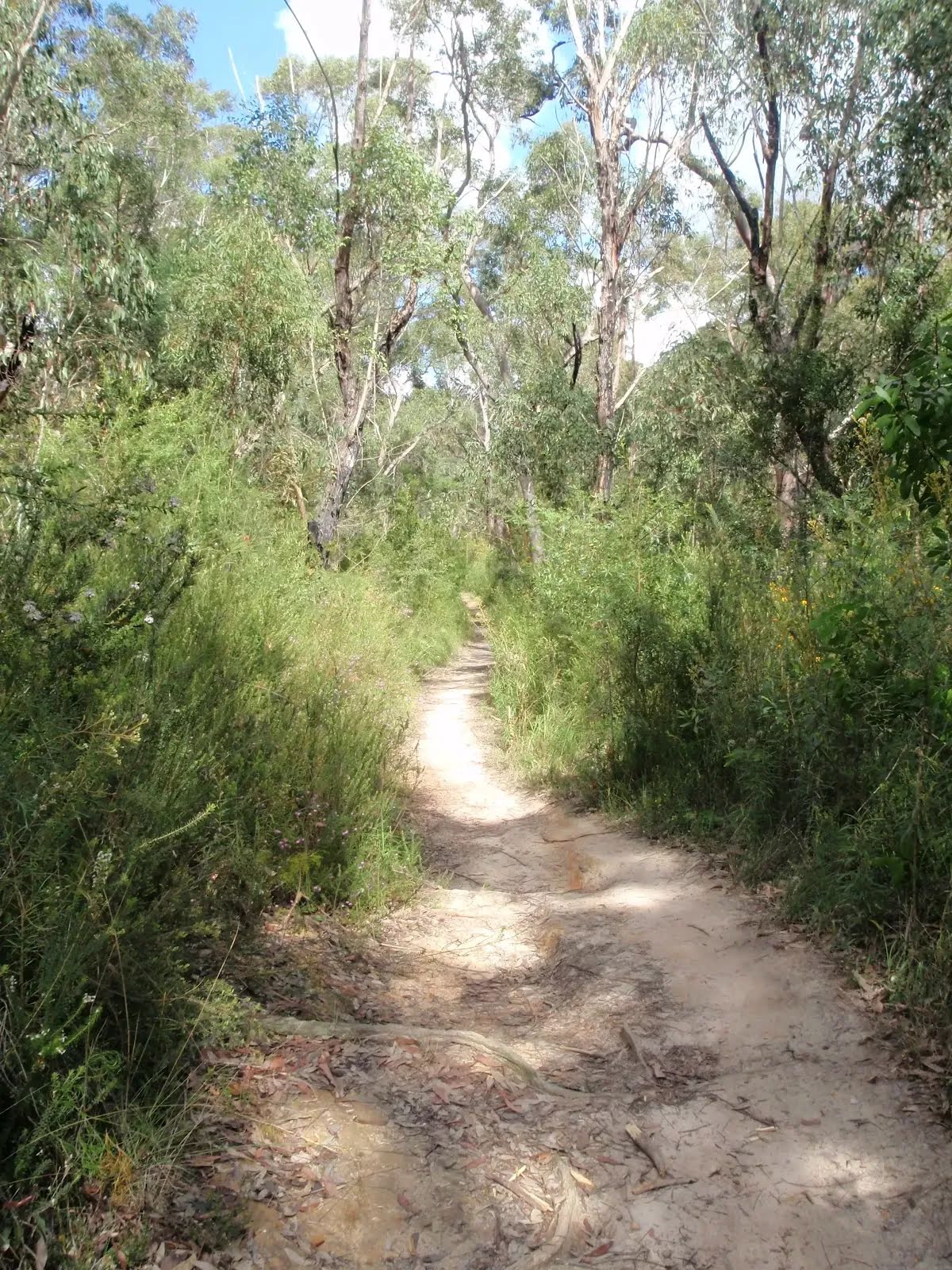
After another 560 m (from the Devlins Creek Trail) continue straight, to head along Devlins Creek Trail.
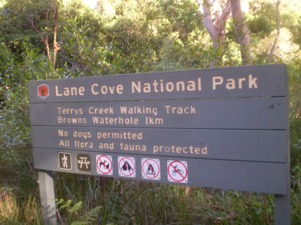
After another 80 m pass the sign (10 m on your left).

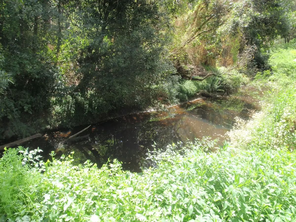
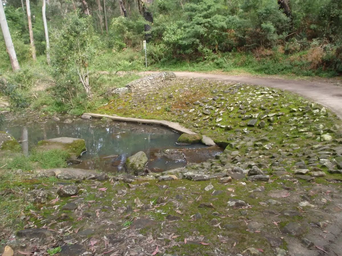
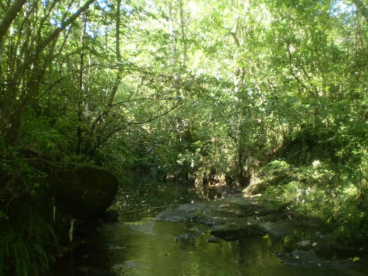
After another 170 m find the "Big Ducky Waterhole" (on your left).
|
|
|
After another 420 m (at the intersection of Devlins Creek Trail & Boundary Road Firetrail) continue straight, to head along Devlins Creek Trail.

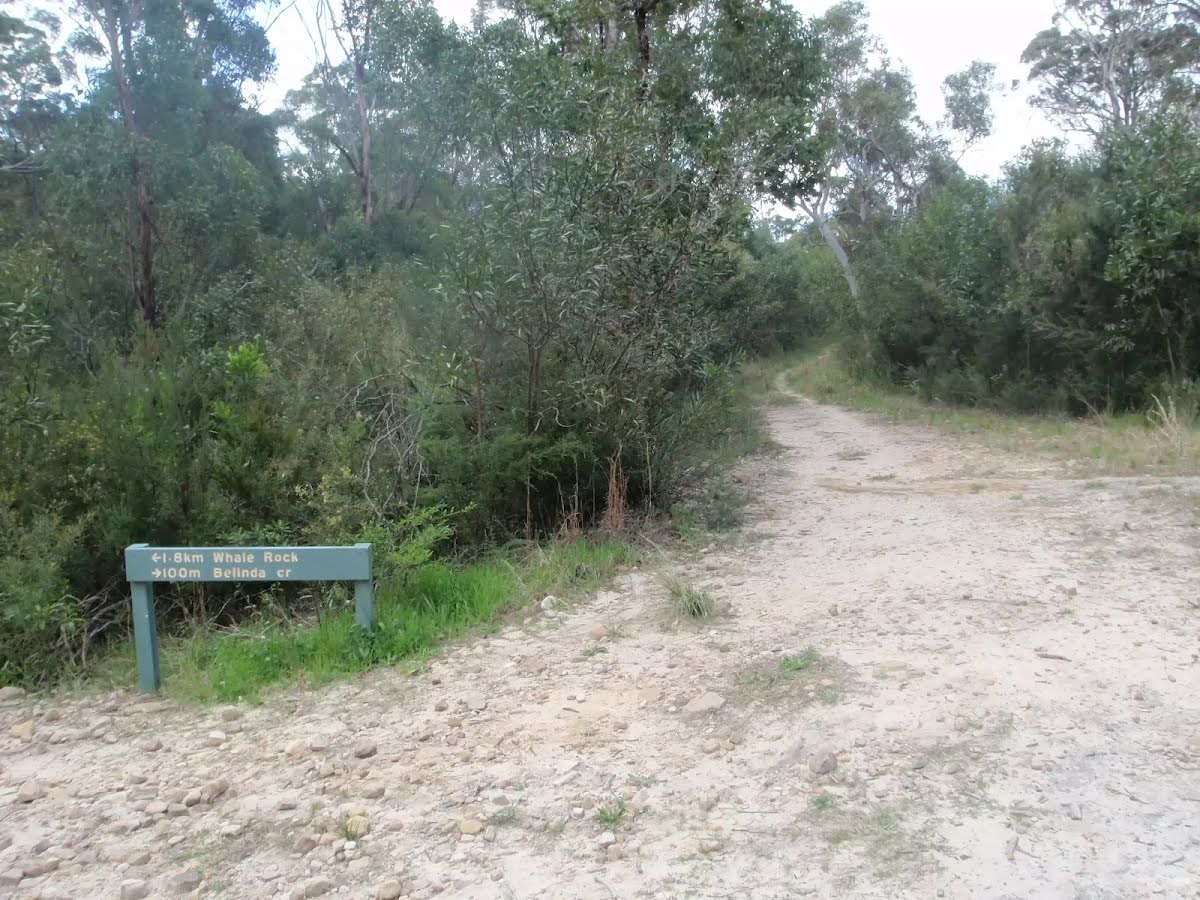
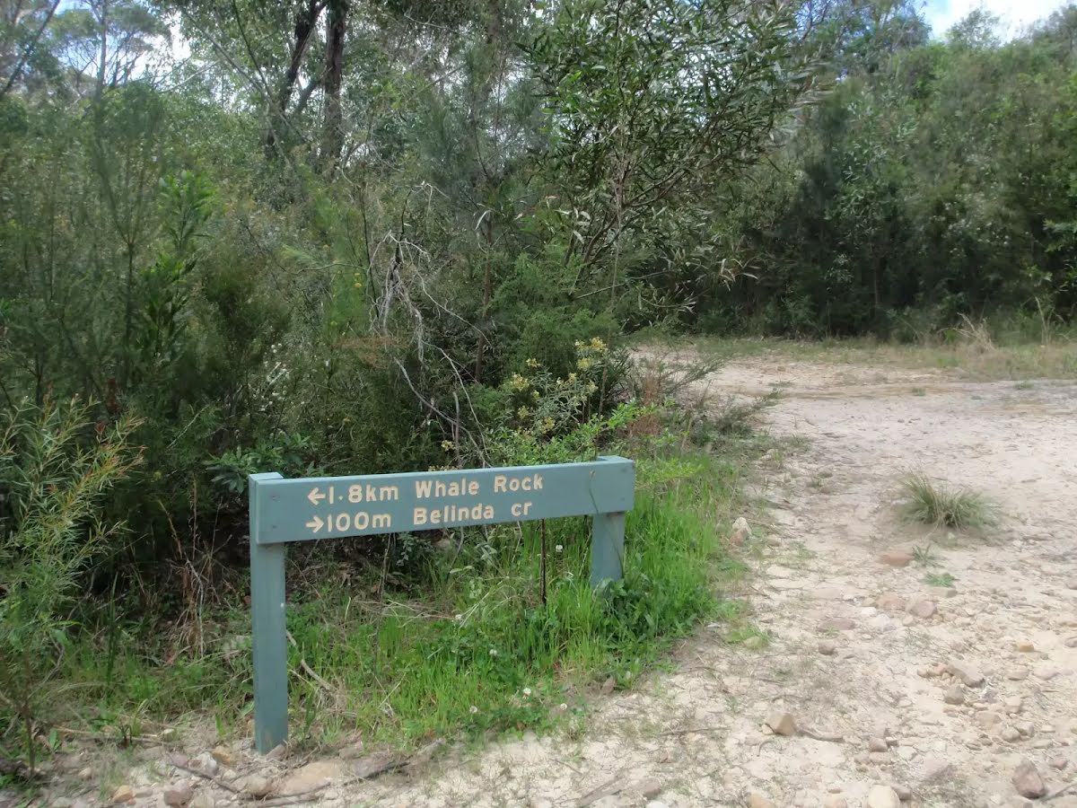
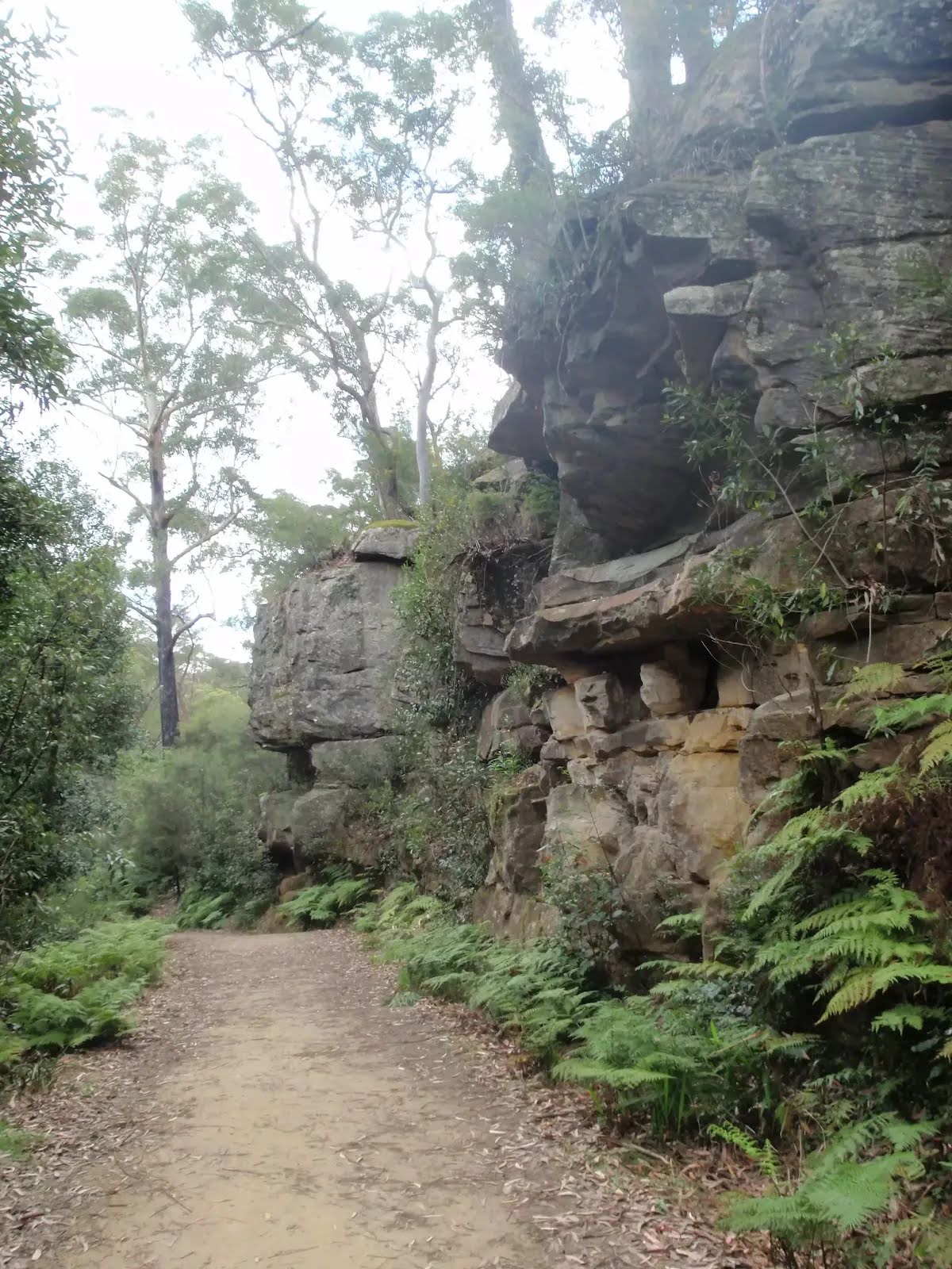
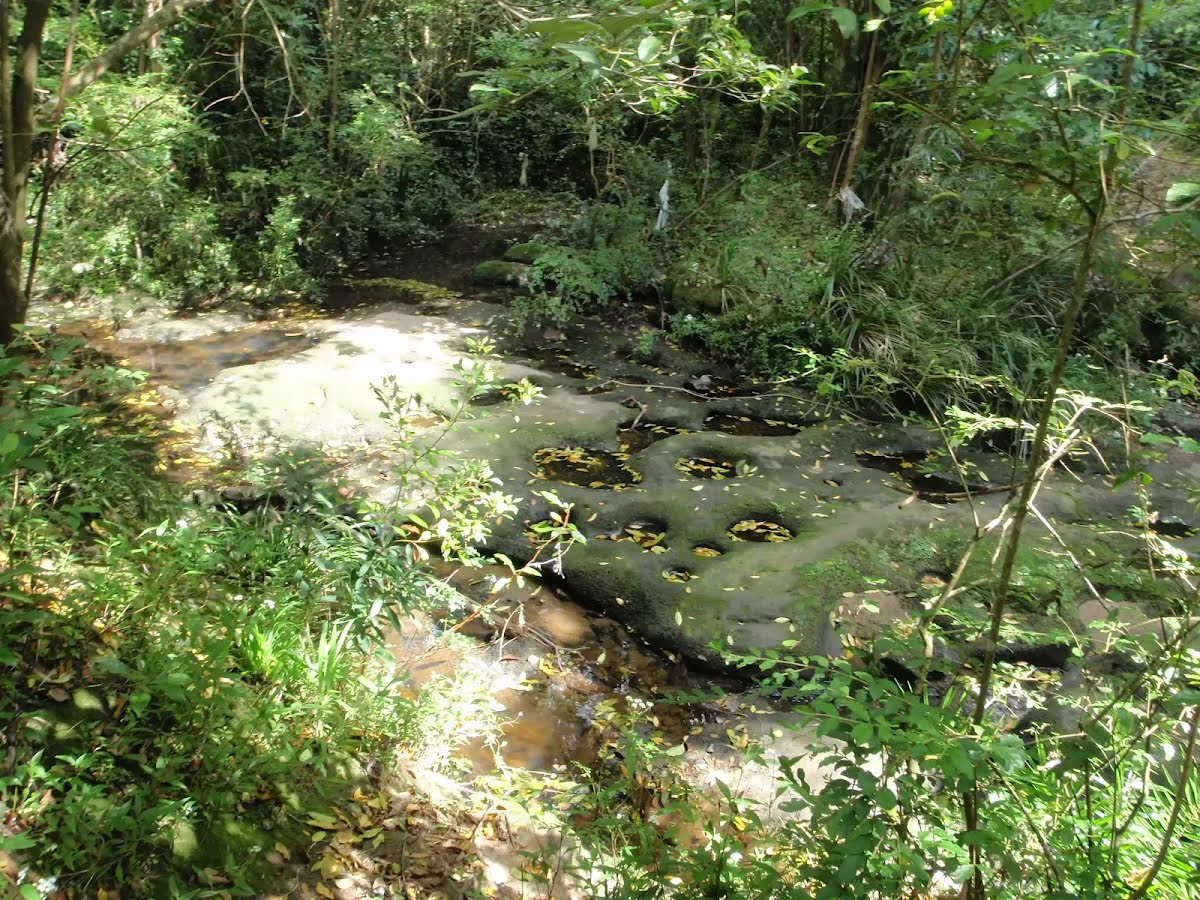
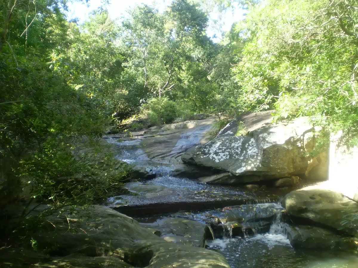
After another 100 m find the "Whale Rock" (6 m on your left).

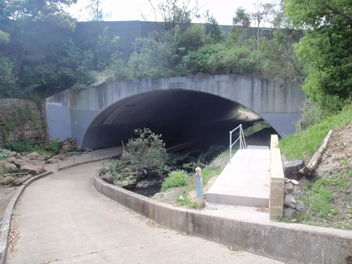
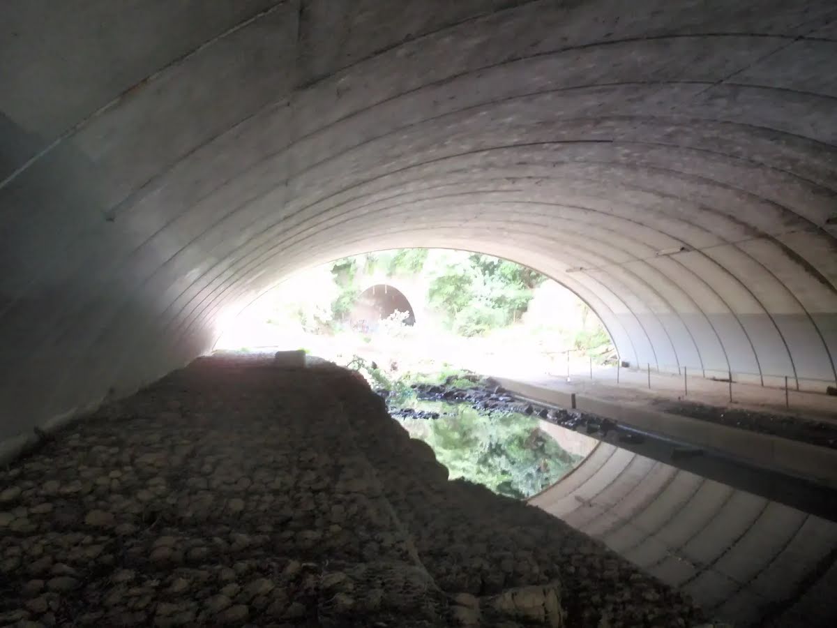
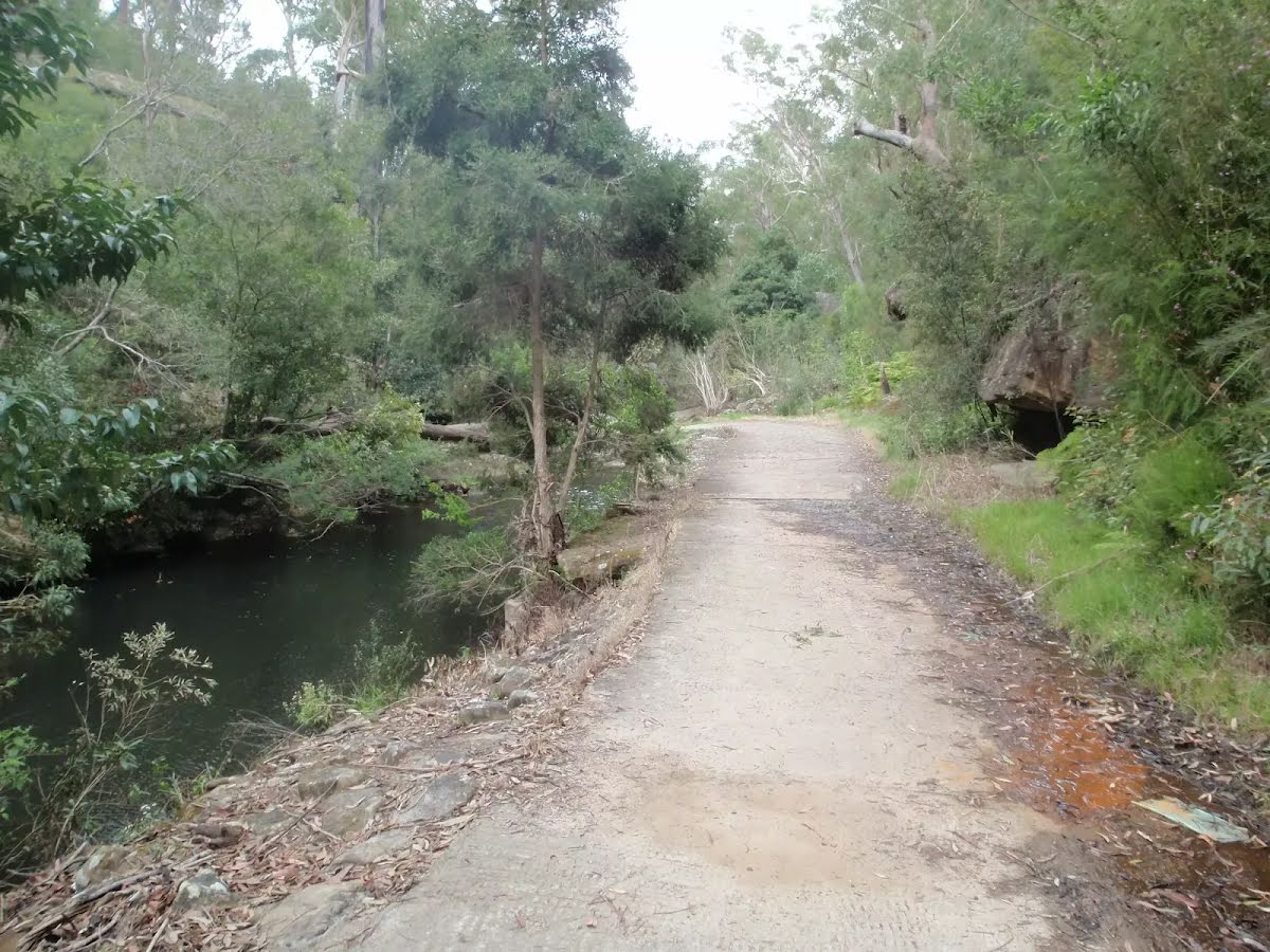
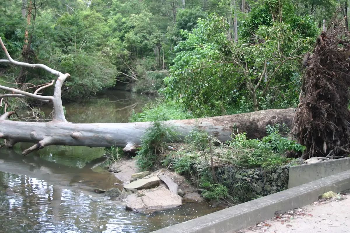
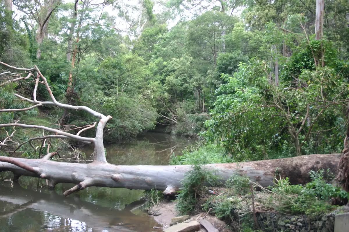
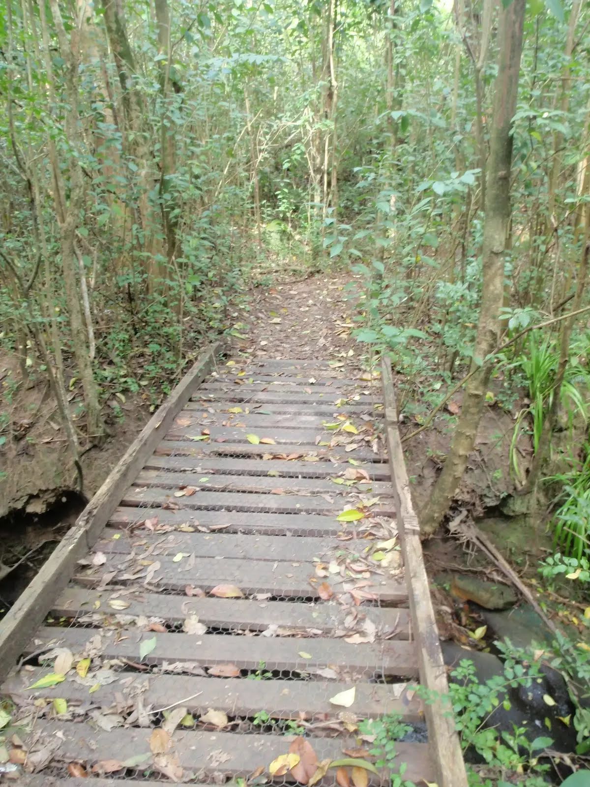
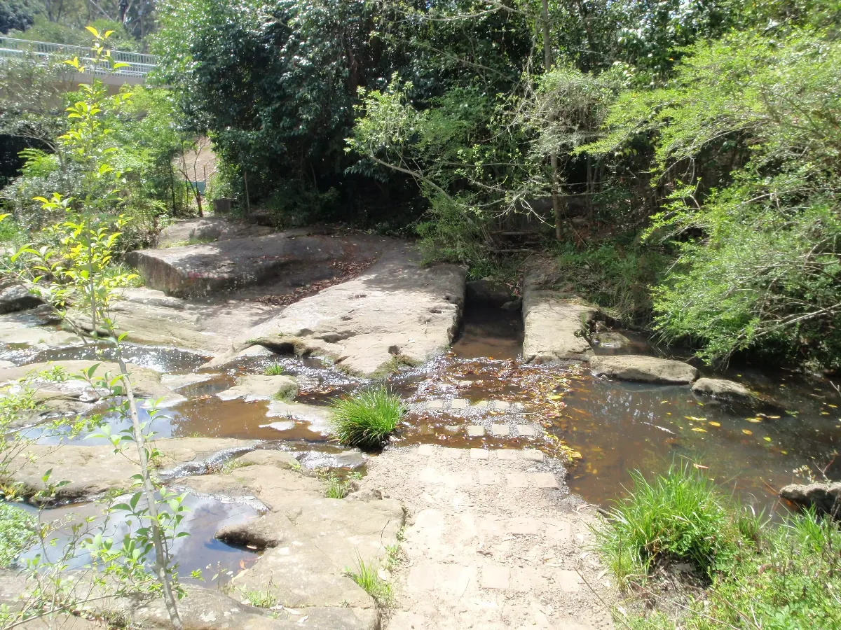
After another 165 m cross the ford (about 35 m long)
Then cross the ford.
After another 75 m cross the ford (about 30 m long)
Then cross the ford.
|
|
|
After another 210 m (from the Devlins Creek Trail) continue straight, to head along Devlins Creek Trail.
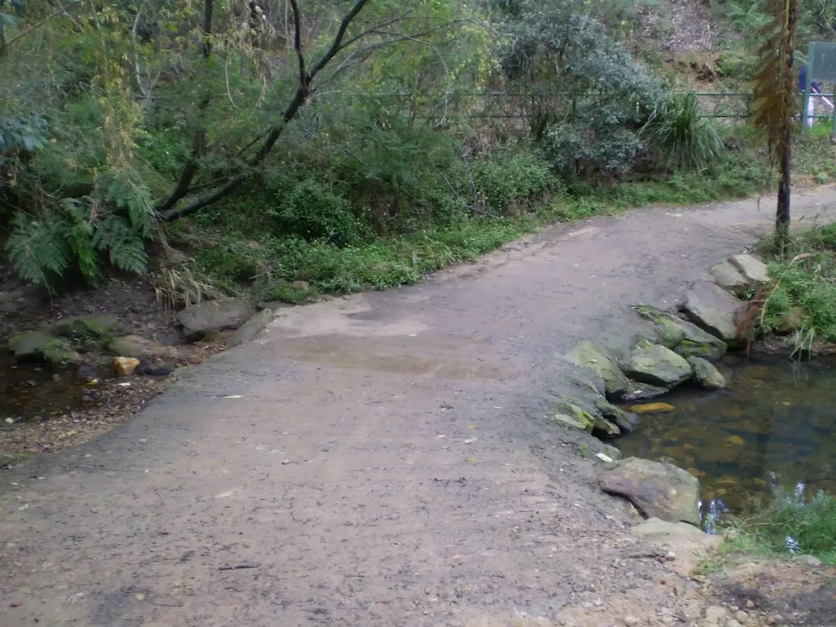
Then cross the ford (about 25 m long)
After another 8 m cross the ford.
After another 150 m (at the intersection of Devlins Creek Trail & Pennant Hills Trail) continue straight, to head along Devlins Creek Trail.
After another 15 m cross the ford (about 25 m long)
Then pass the sign (9 m on your left).
After another 15 m cross the ford.
|
|
|
After another 6 m (at the intersection of The Great North Walk & Devlins Creek Trail) continue straight, to head along The Great North Walk.
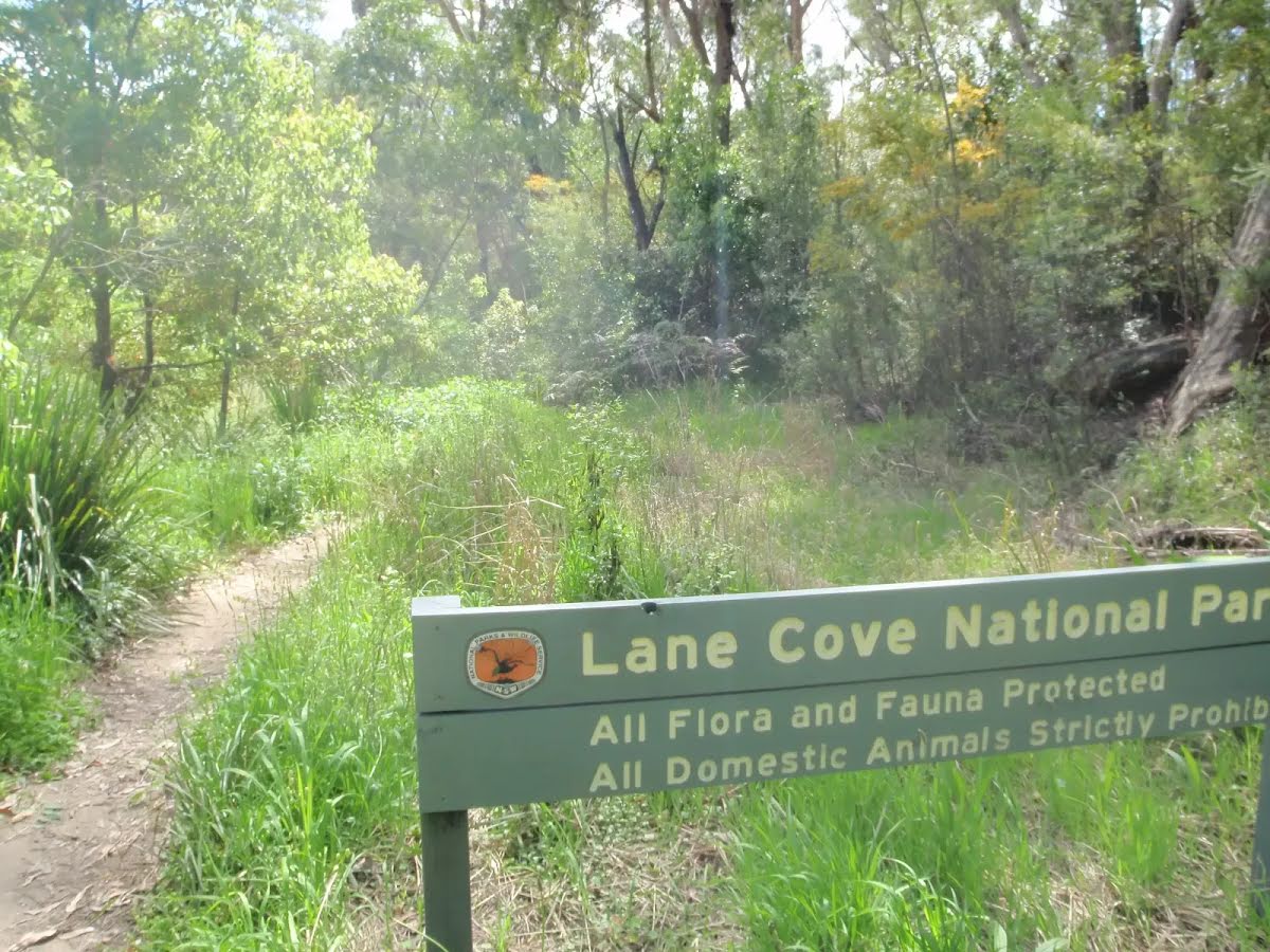
After another 90 m pass the "Walking and Service Trails in the Lane Cove Valley" (10 m on your left).
At the intersection of The Great North Walk & Lane Cove Valley Walk continue straight, to head along The Great North Walk.
After another 315 m head into the "Bradley Reserve".
After another 315 m pass the sign (10 m on your right).
|
|
|
At the intersection of The Great North Walk & The Step - Main loop continue straight, to head along The Great North Walk.
|
|
|

After another 35 m (from the The Great North Walk) turn right, to head along The Great North Walk.
After another 80 m pass the sign (on your left).
After another 285 m pass the "Great North Walk".
After another 295 m pass the "The Great North Walk" (5 m on your left).
|
|
|
From the The Great North Walk turn right (a highway|cycleway).
|
|
|
After another 60 m continue straight.

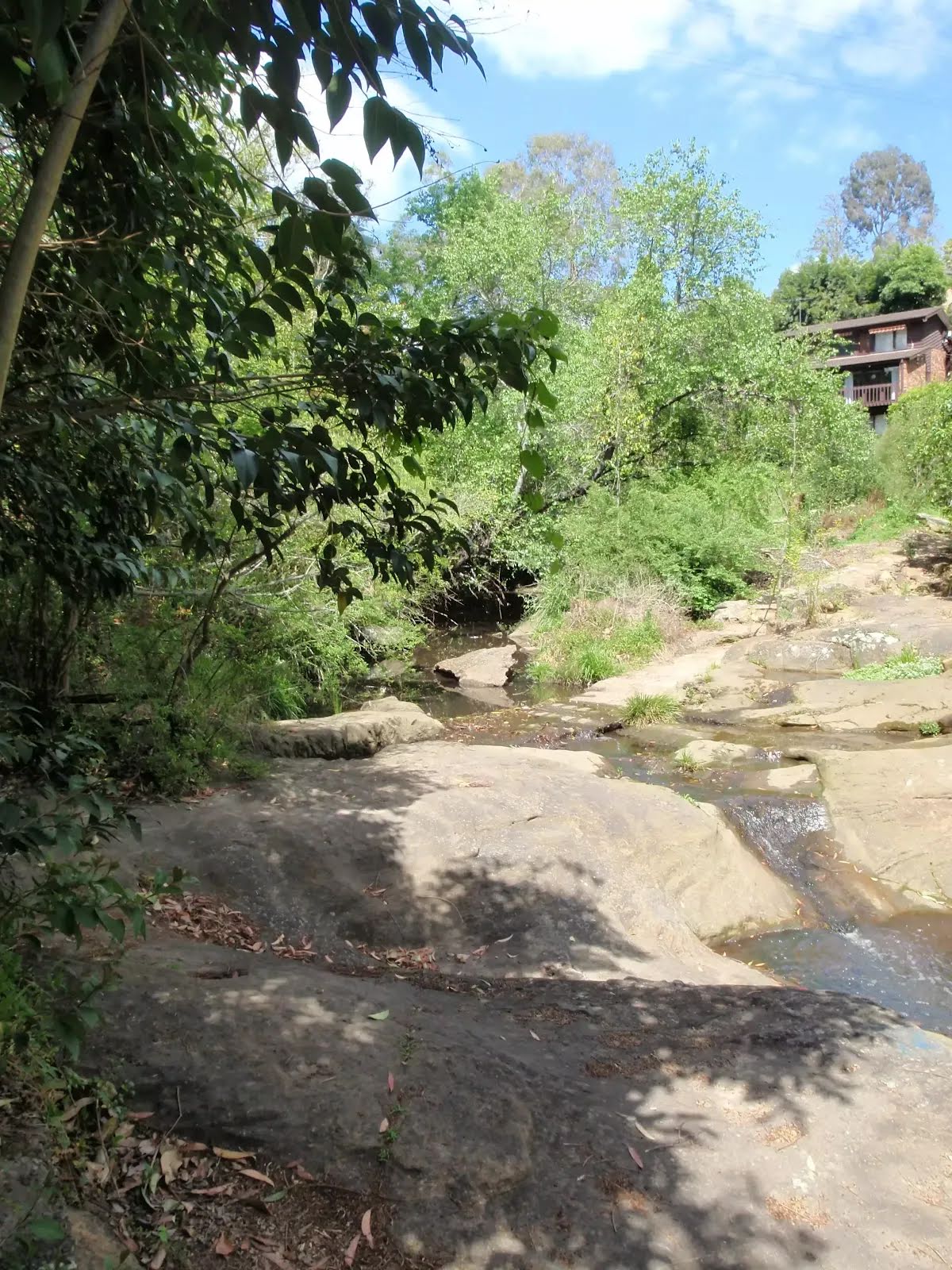
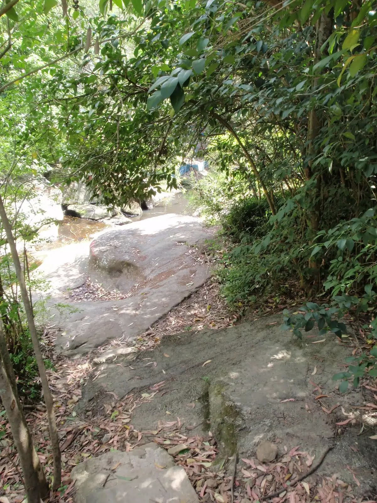
After another 20 m find the "Browns Waterhole" (15 m on your left).

After another 8 m cross the bridge (about 15 m long)

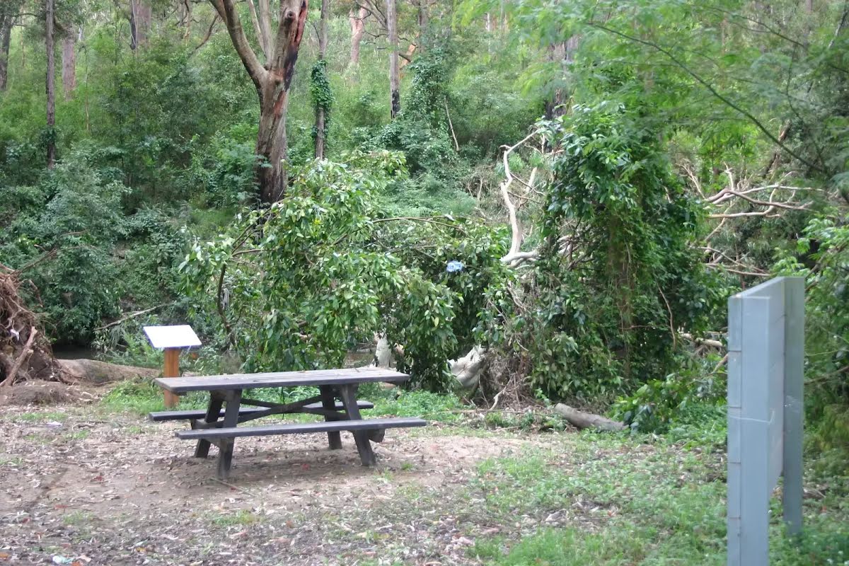
After another 115 m pass the picnic table (9 m on your left).
|
|
|
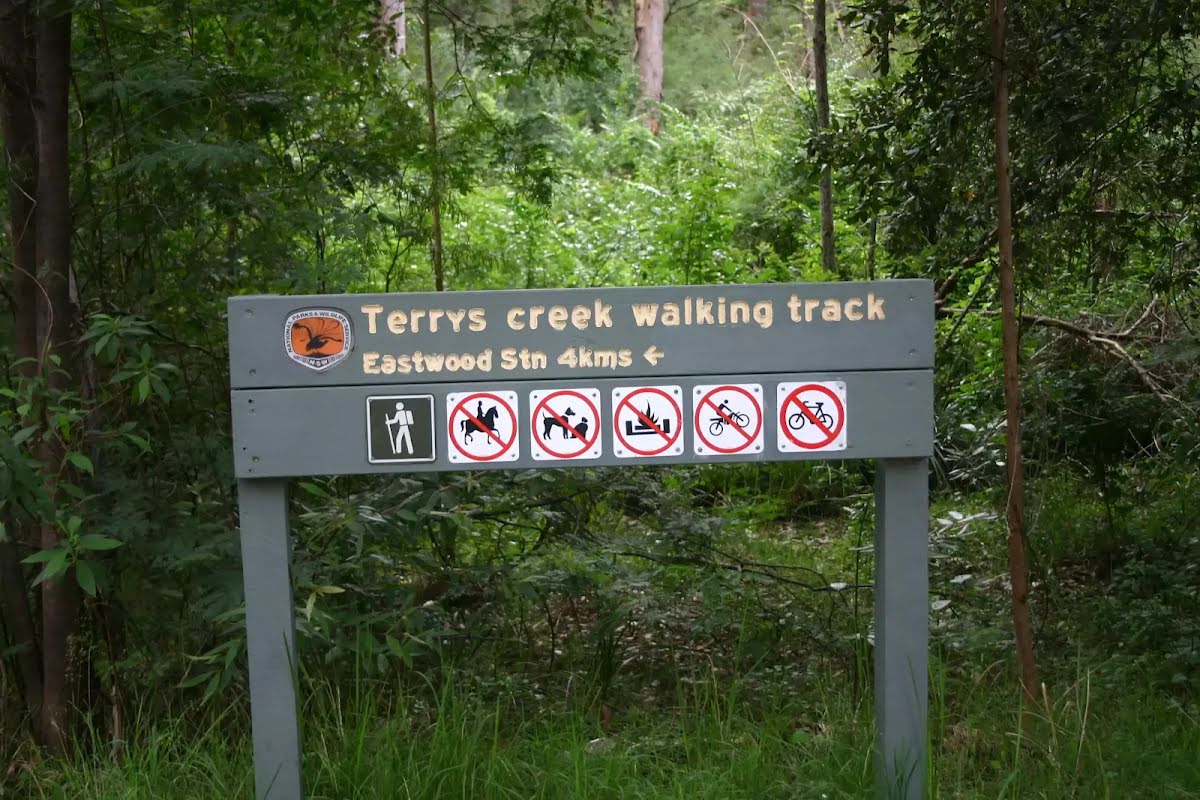
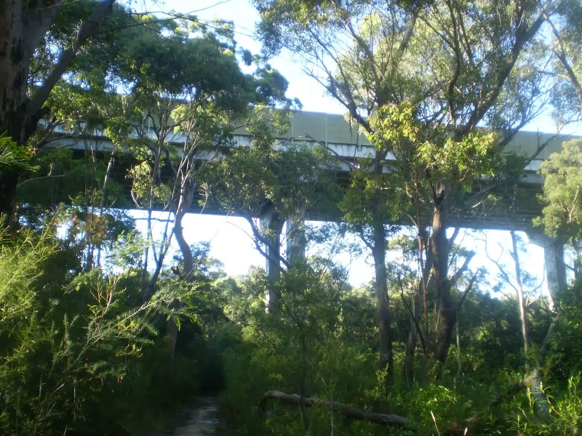
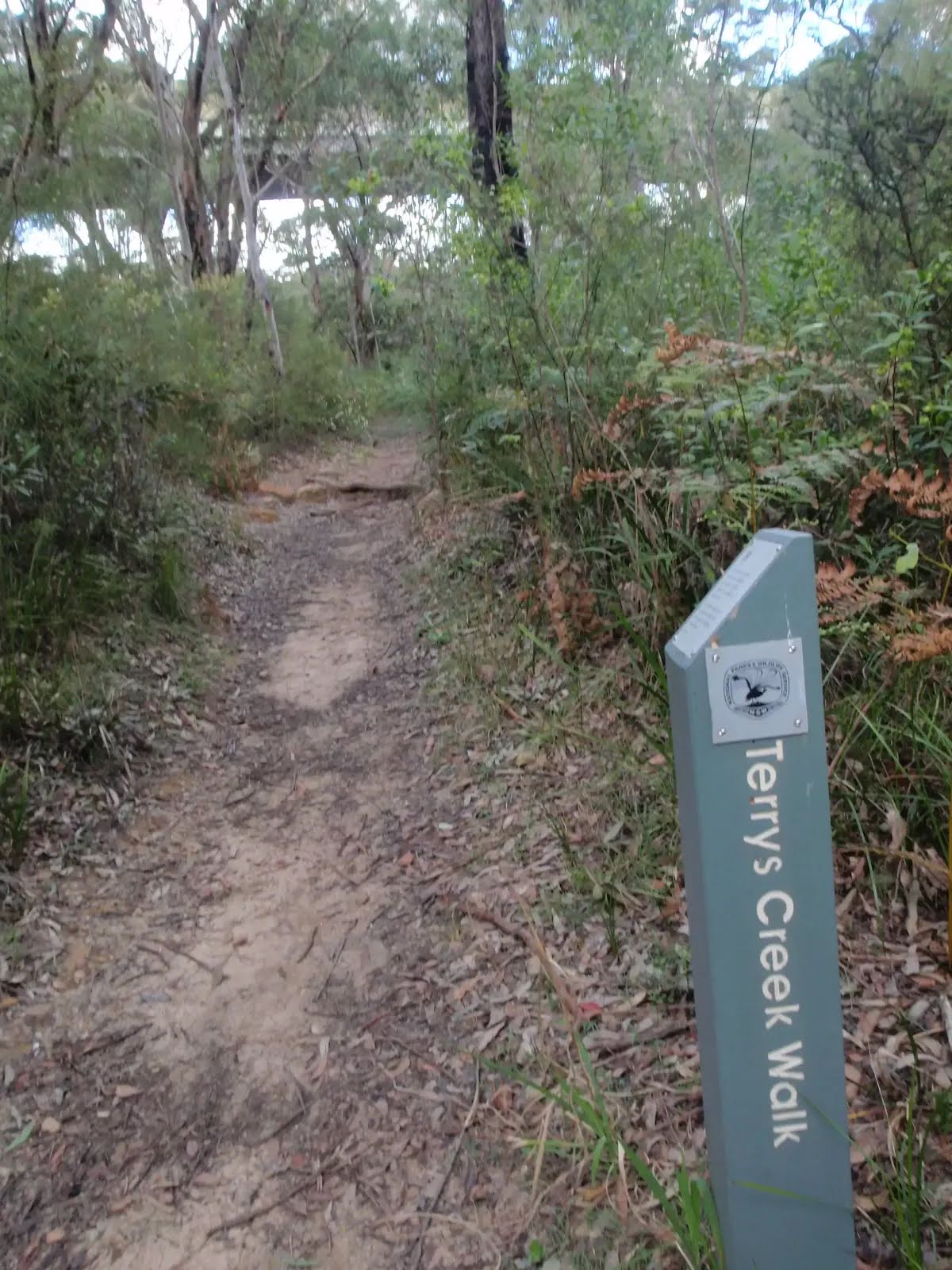
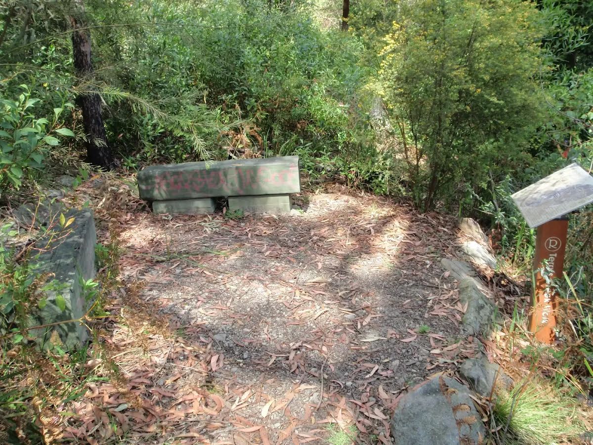
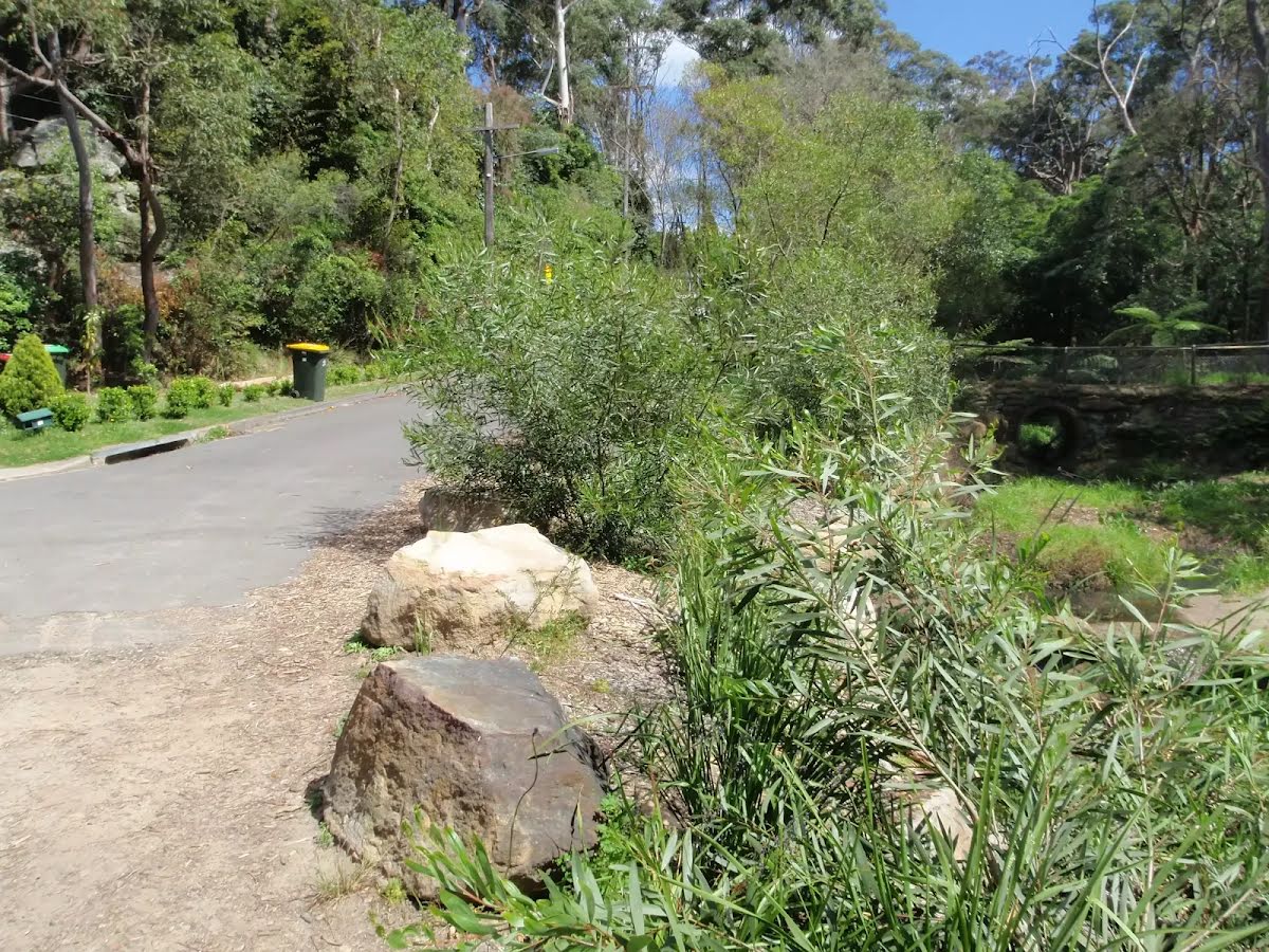
From the Terrys Creek Trail continue straight, to head along Terrys Creek Trail (a walking track).
After another 690 m (from the Terrys Creek Trail) continue straight, to head along Terrys Creek Trail.

After another 250 m pass the emergency call device (35 m on your left).
After another 70 m pass the emergency call device (90 m on your left).
|
|
|
From the Terrys Creek Trail turn right.
|
|
|
After another 235 m continue straight.
After another 370 m head into the "Lucknow Park".
|
|
|
After another 60 m continue straight.
After another 180 m continue straight.
|
|
|
After another 75 m (from the Terrys Creek Track) turn right, to head along Terrys Creek Track.
|
|
|
After another 70 m (at the intersection of Pembroke Street & Terrys Creek Track) veer right, to head along Pembroke Street (a residential road).
After another 60 m pass the sign (8 m on your left).
|
|
|
From the Pembroke Street continue straight, to head along Pembroke Street.
After another 90 m (at the intersection of Pembroke Street & Raymond Place) continue straight, to head along Pembroke Street.
After another 215 m (at the intersection of Pembroke Street & Stanley Road) continue straight, to head along Pembroke Street.
|
|
|
After another 50 m (from the Pembroke Street) continue straight (a highway|cycleway).
|
|
|
After another 95 m (from the Epping Road) continue straight.
|
|
|
After another 60 m (from the Pembroke Street) turn left, to head along Pembroke Street (a highway|tertiary).
|
|
|
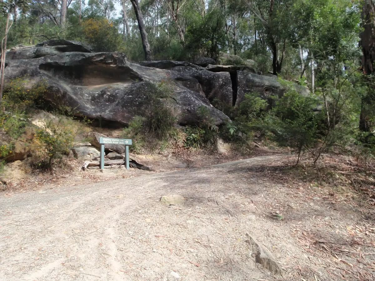
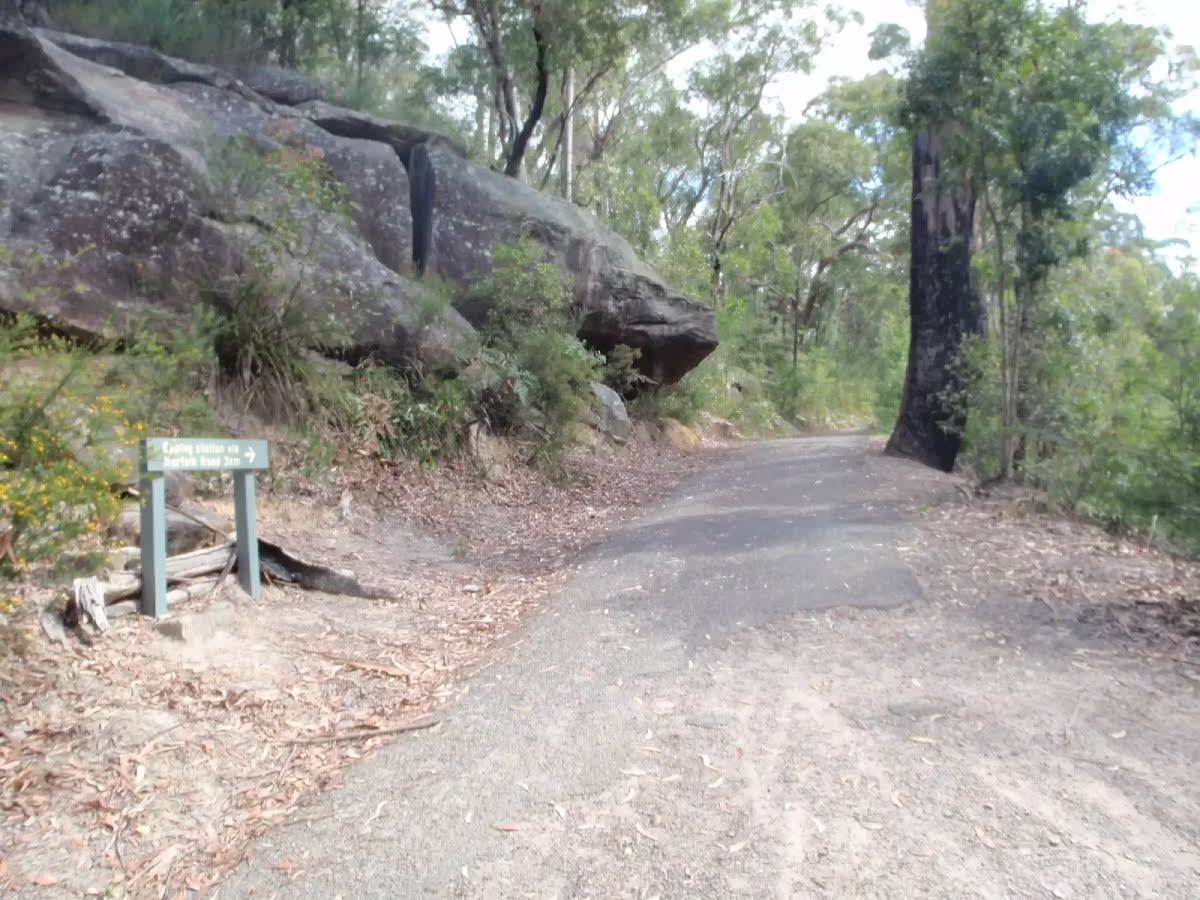
After another 70 m (at the intersection of Pembroke Street & Norfolk Road) continue straight, to head along Pembroke Street.
|
|
|
After another 110 m turn left.
|
|
|
After another 125 m (at the intersection of Pembroke Street & Smith Street) continue straight, to head along Pembroke Street.
After another 75 m (from the Pembroke Street) continue straight, to head along Pembroke Street.
|
|
|
After another 40 m (at the intersection of Pembroke Street & Chambers Court) continue straight, to head along Pembroke Street.

After another 8 m pass the playground (10 m on your left).

After another 6 m pass the water tap (15 m on your left).
About 170 m past the end is "Dominino's Pizza".
After another 55 m pass the cafe (30 m on your left).
After another 8 m (from the Pembroke Street) continue straight, to head along Pembroke Street.

After another 20 m come to the end.
|