Forest Road to Yarramalong
Awabakal Country

2 h 30 min to 3 h 30 min

7.8 km
oneway

↑ 159 m
↓ -464 m

Hard track
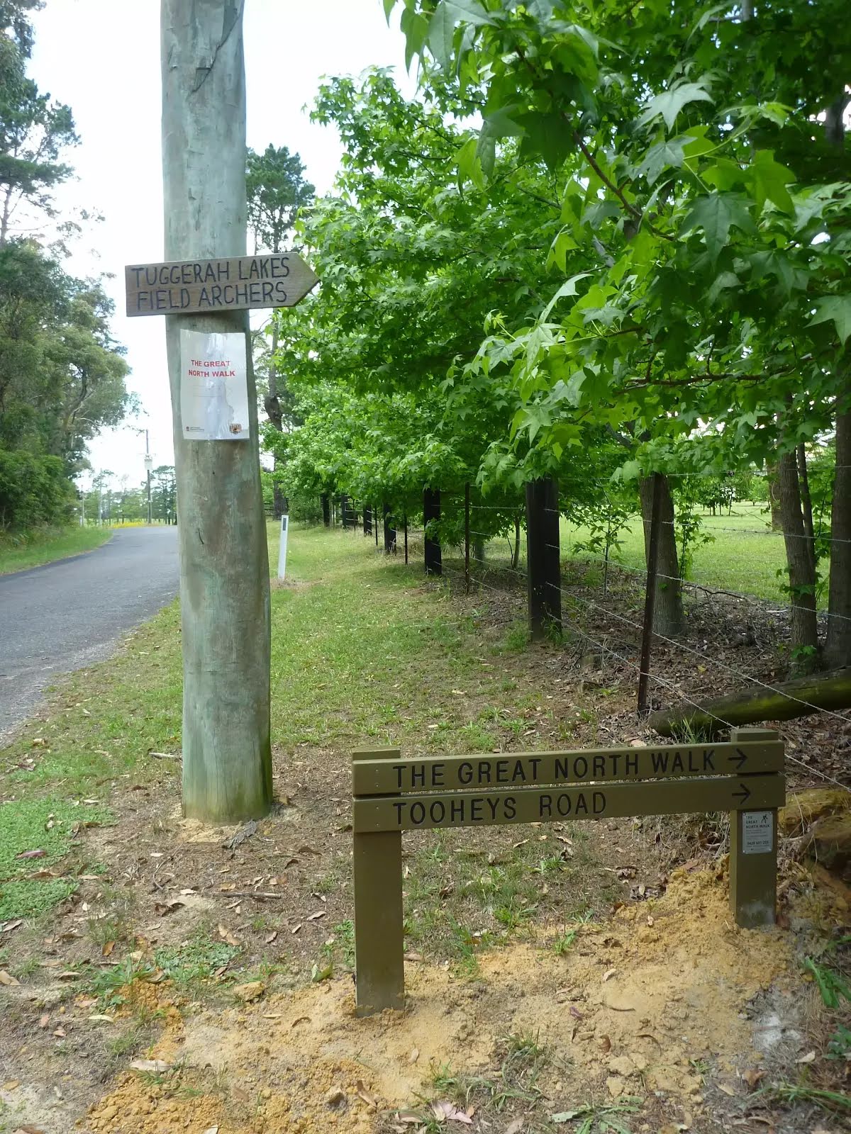
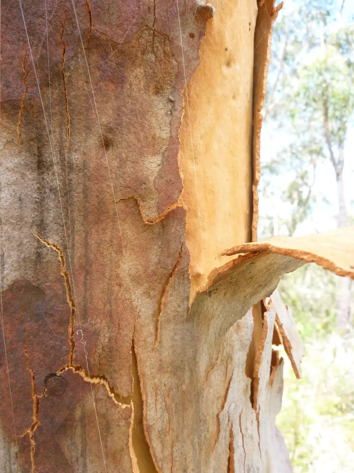
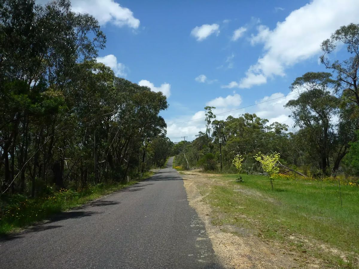
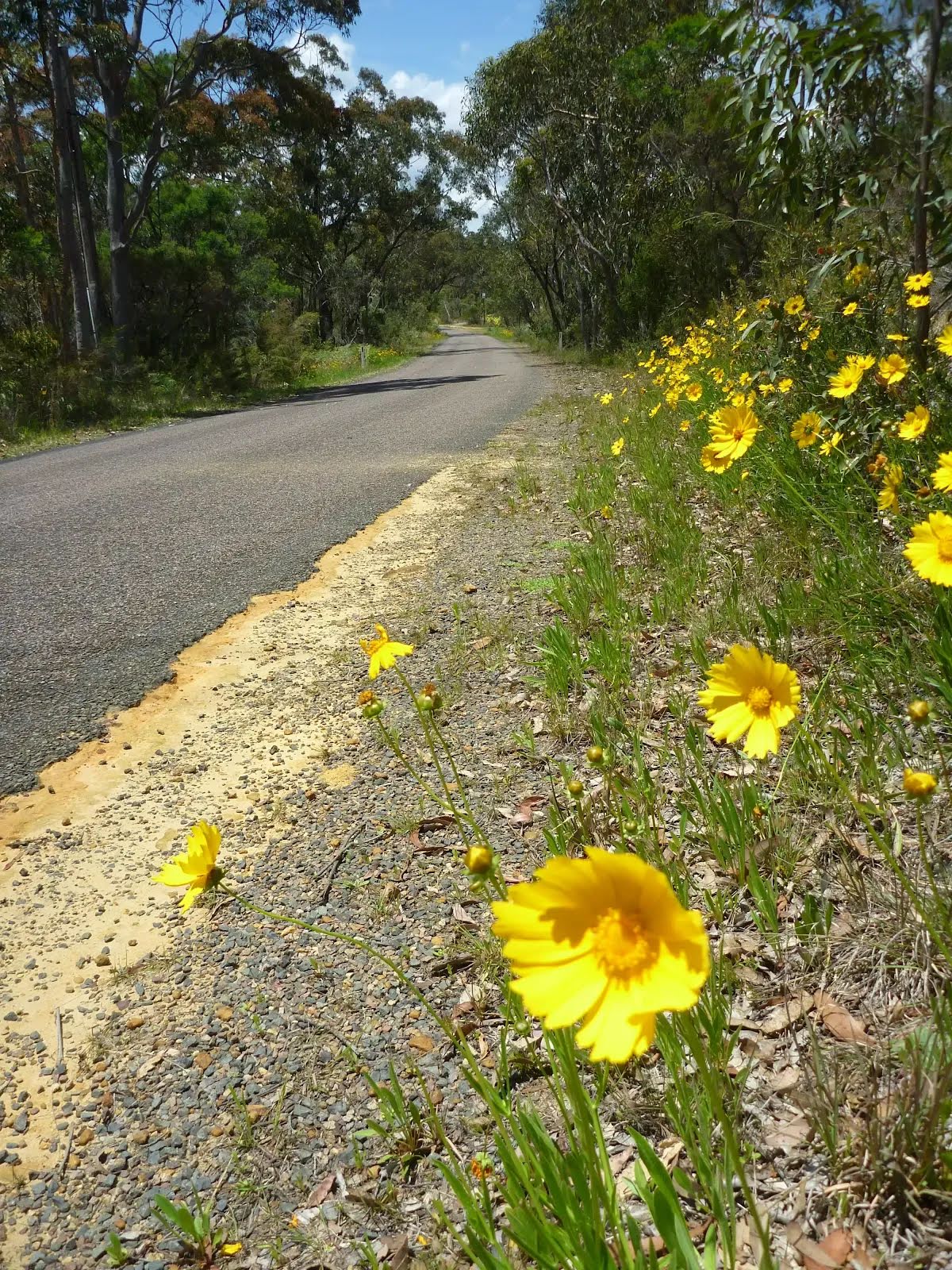
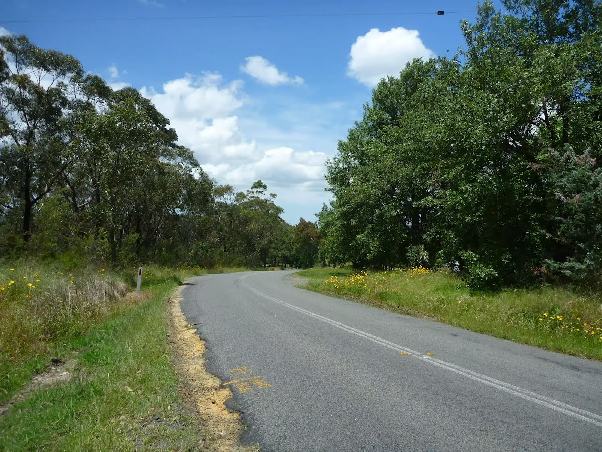
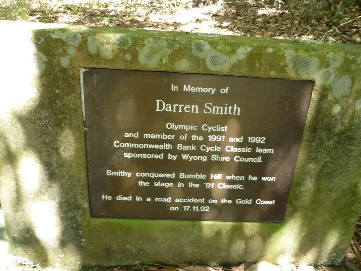
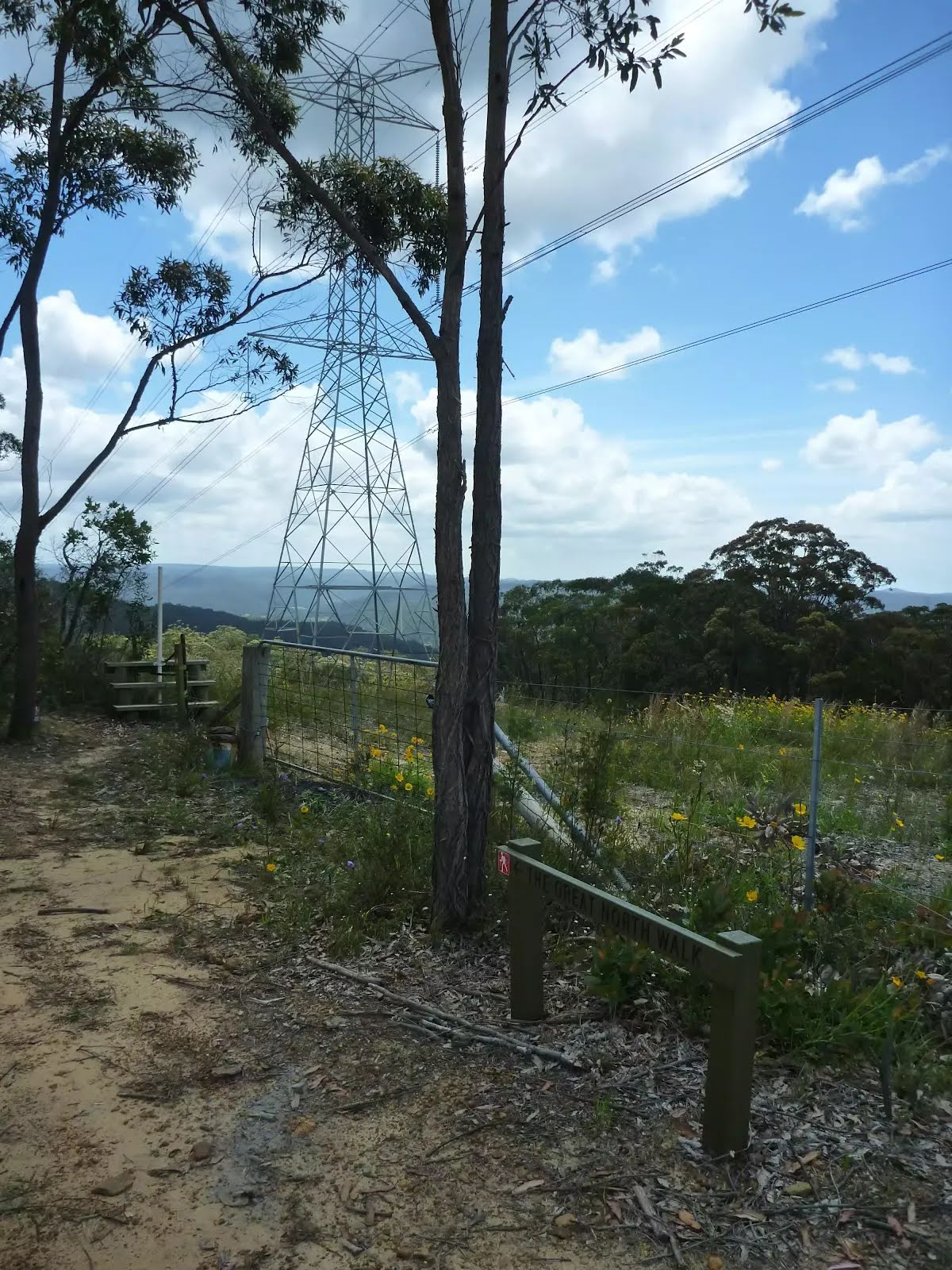
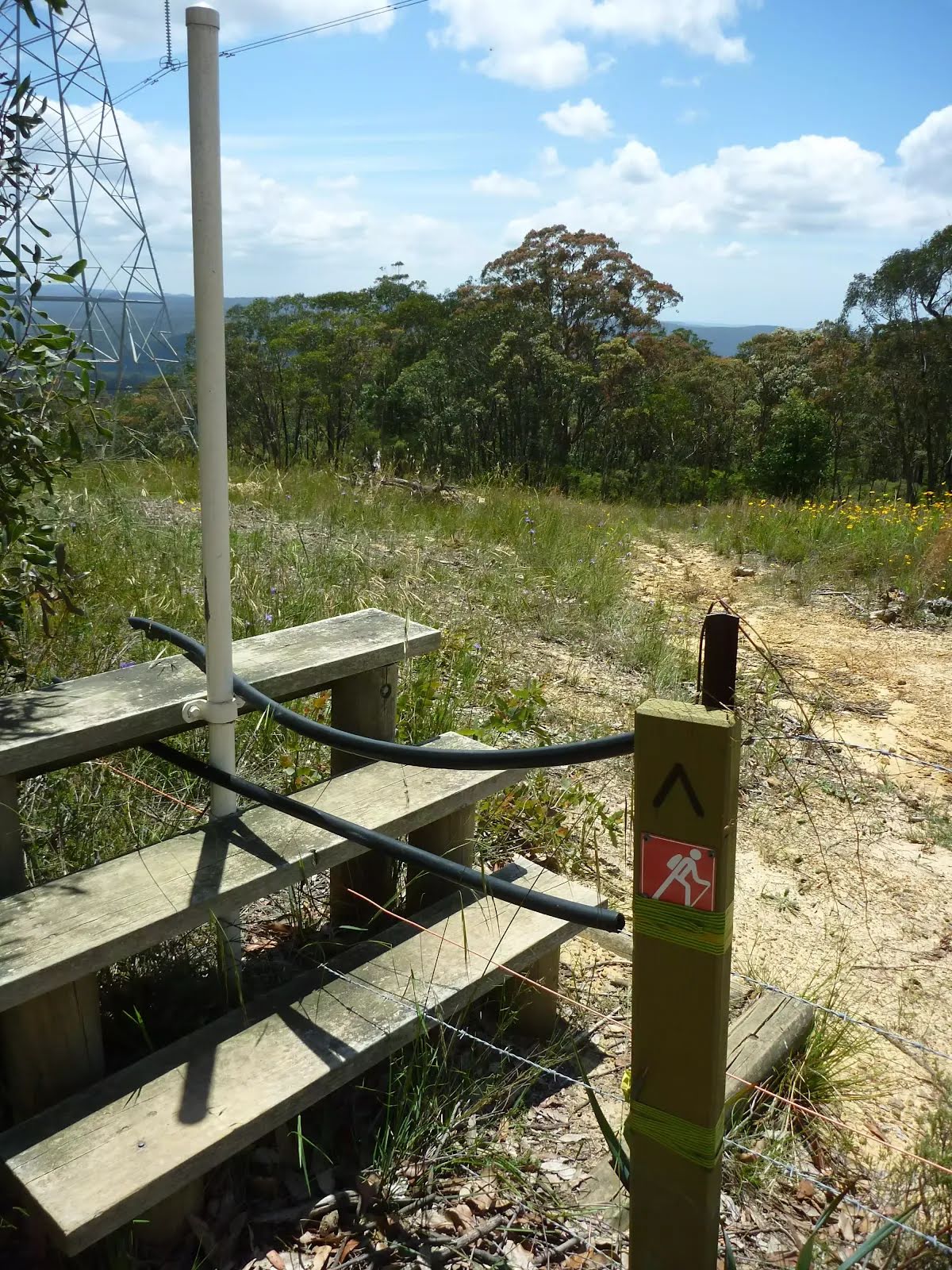
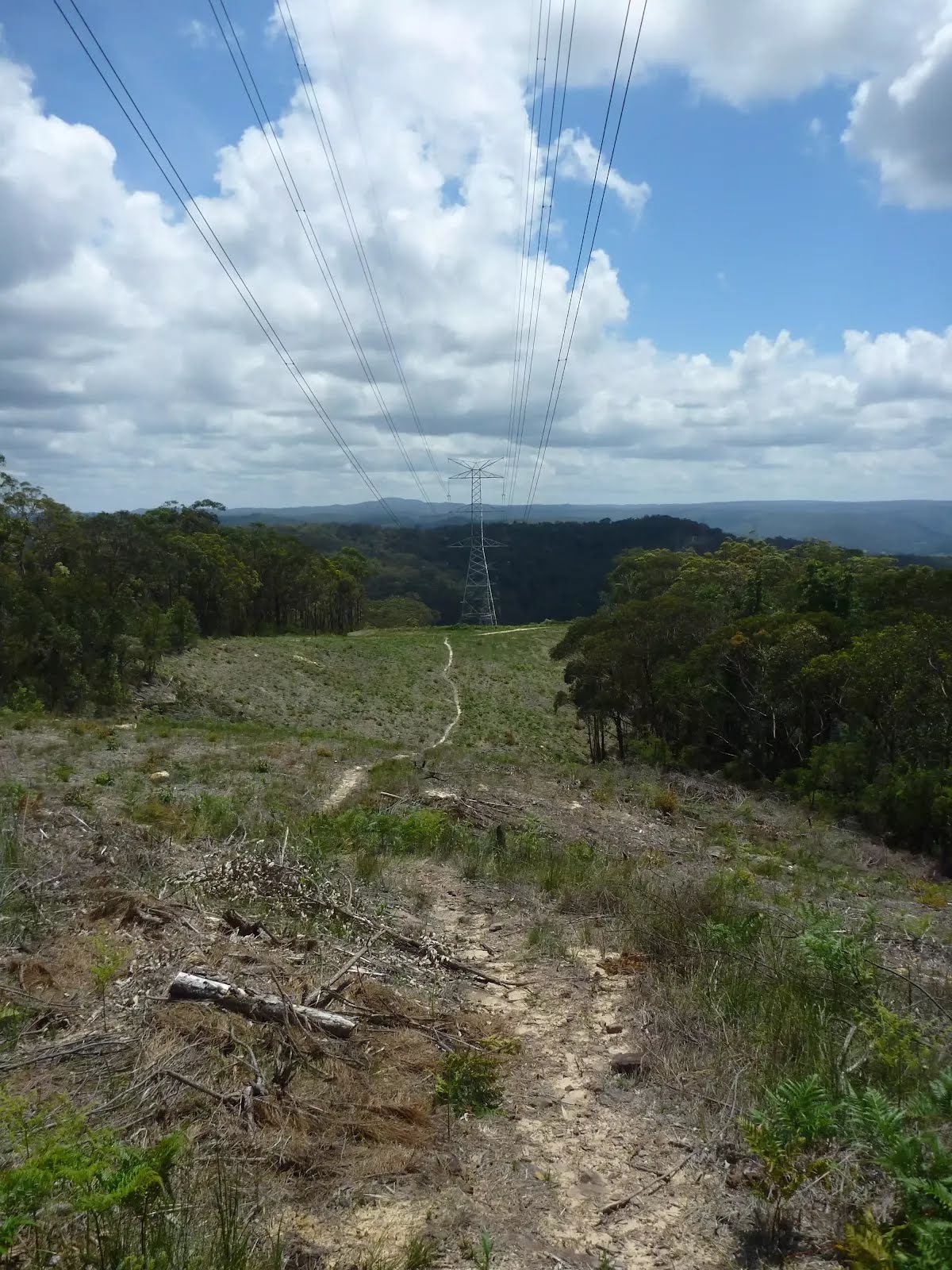
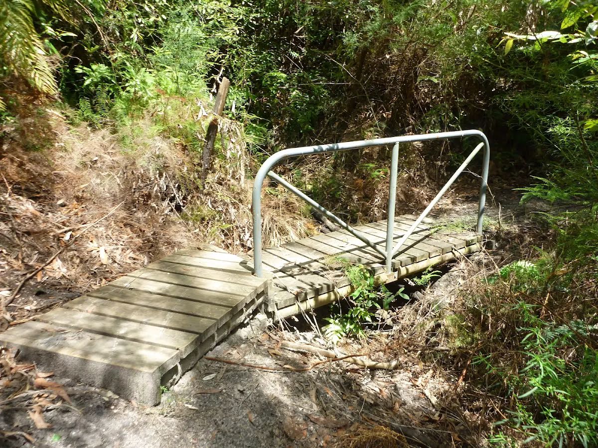
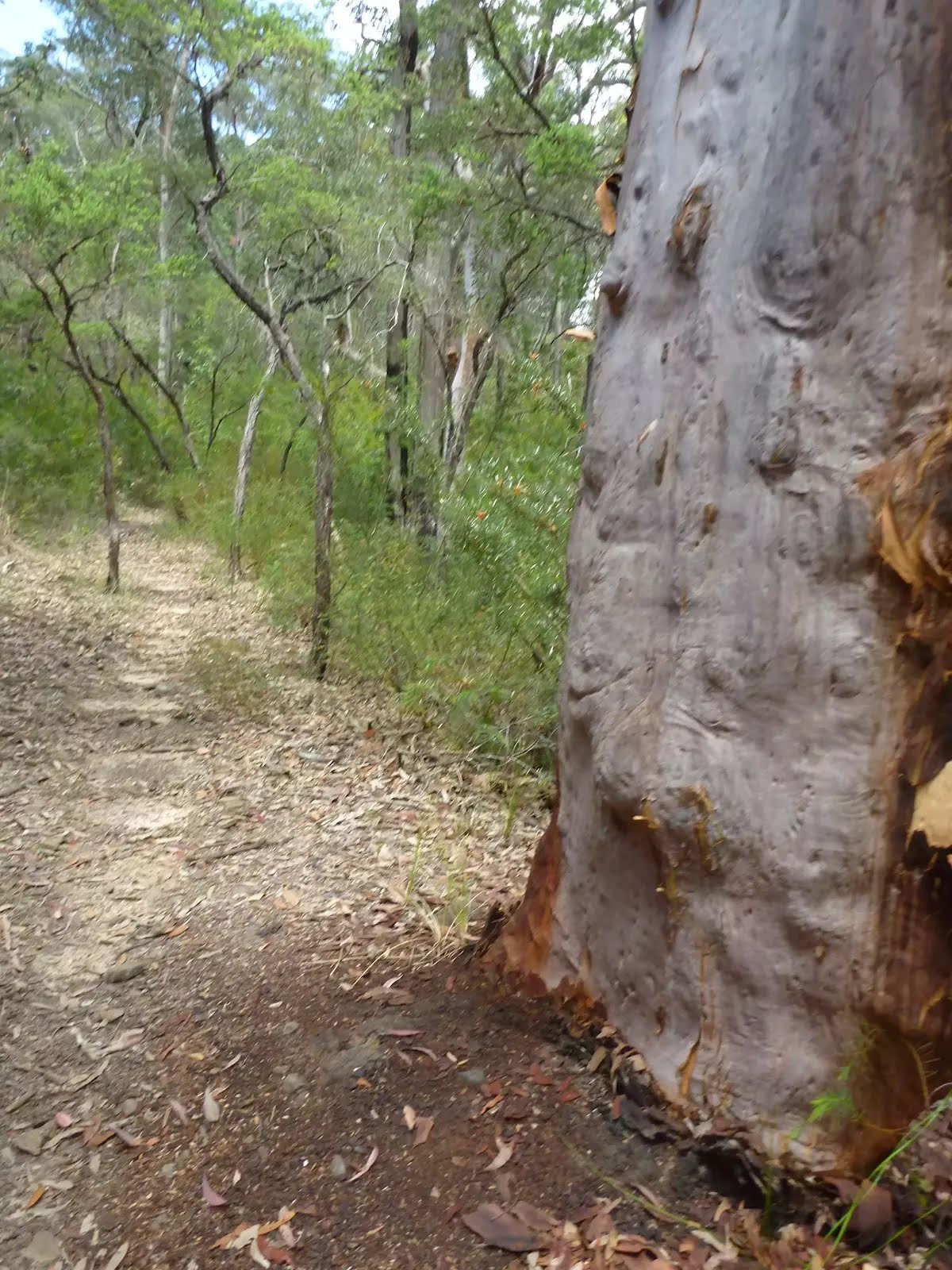
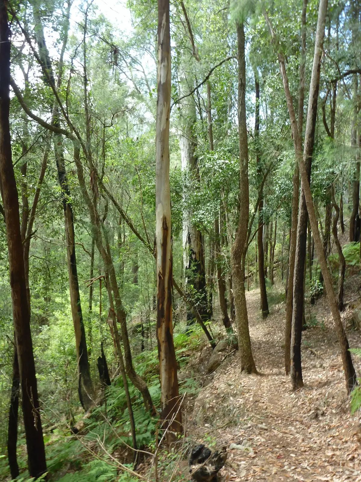
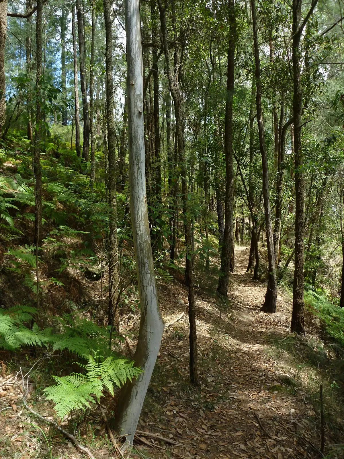
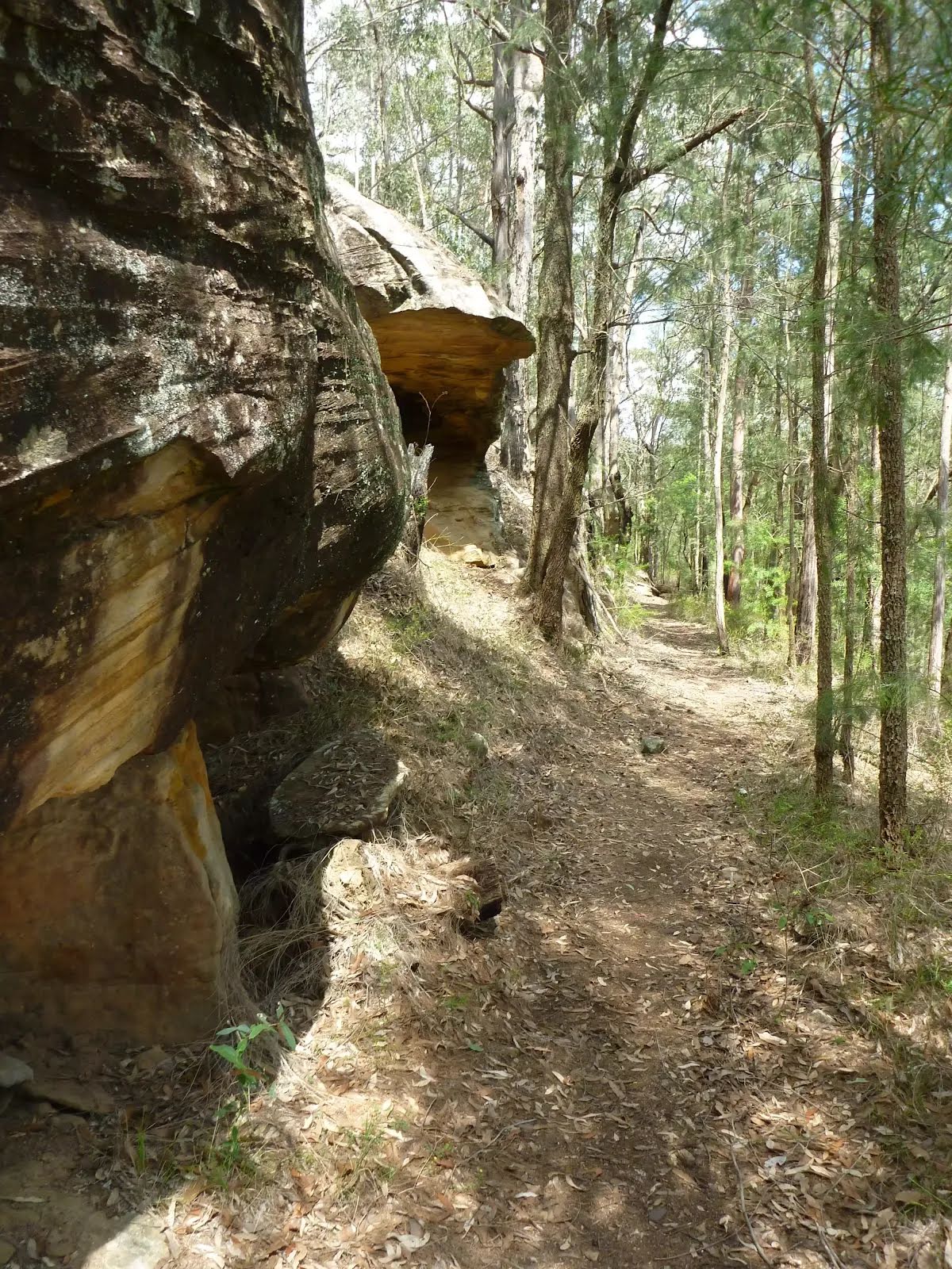
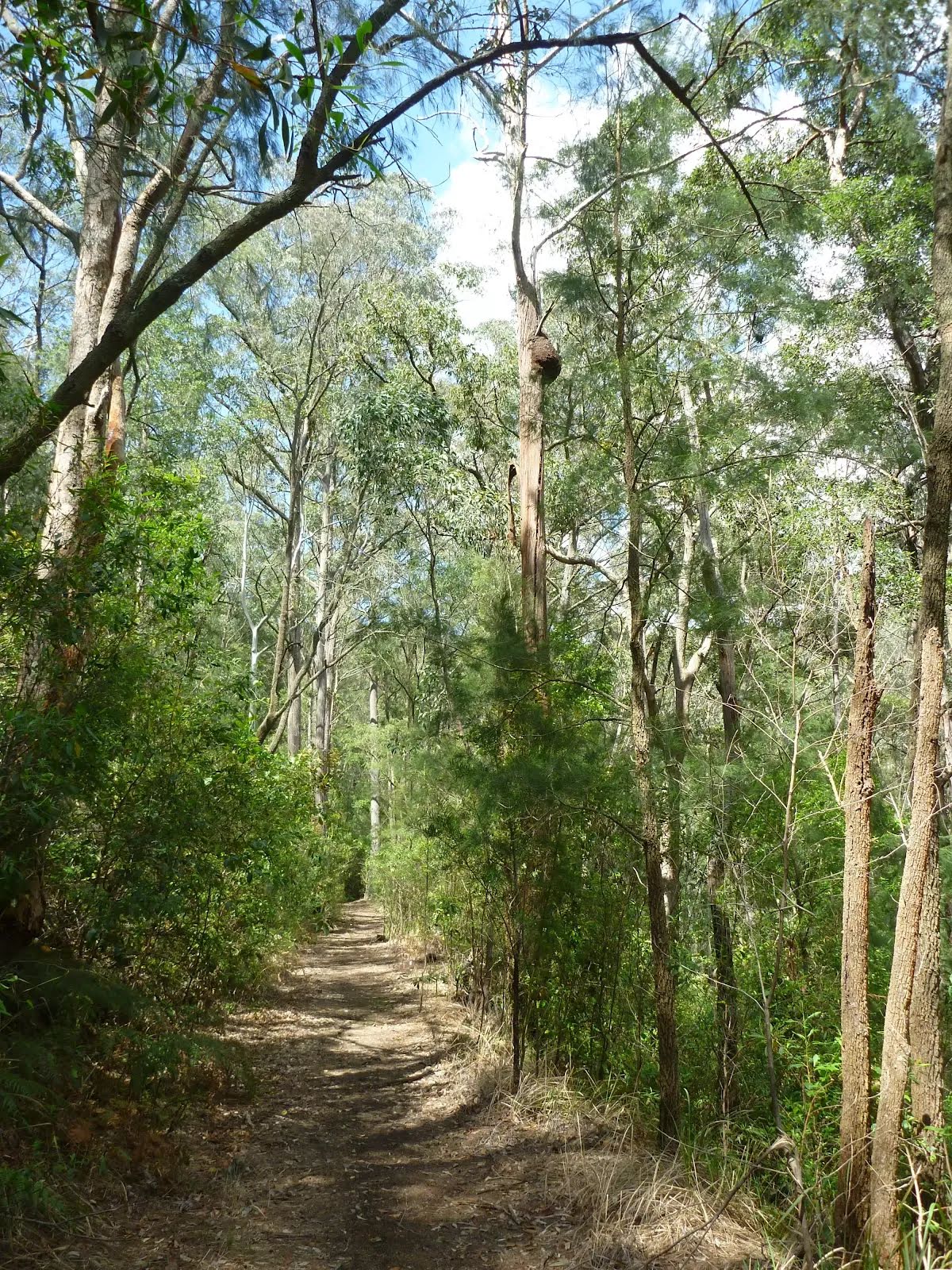
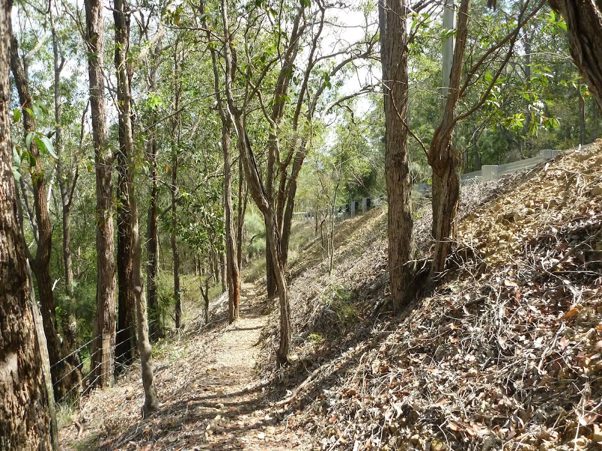
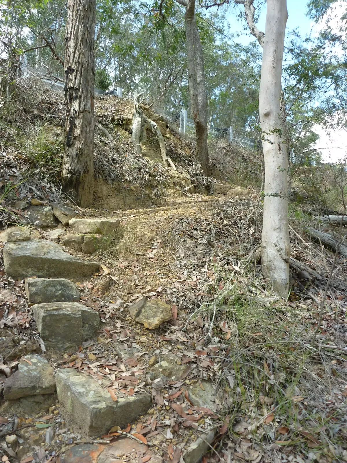
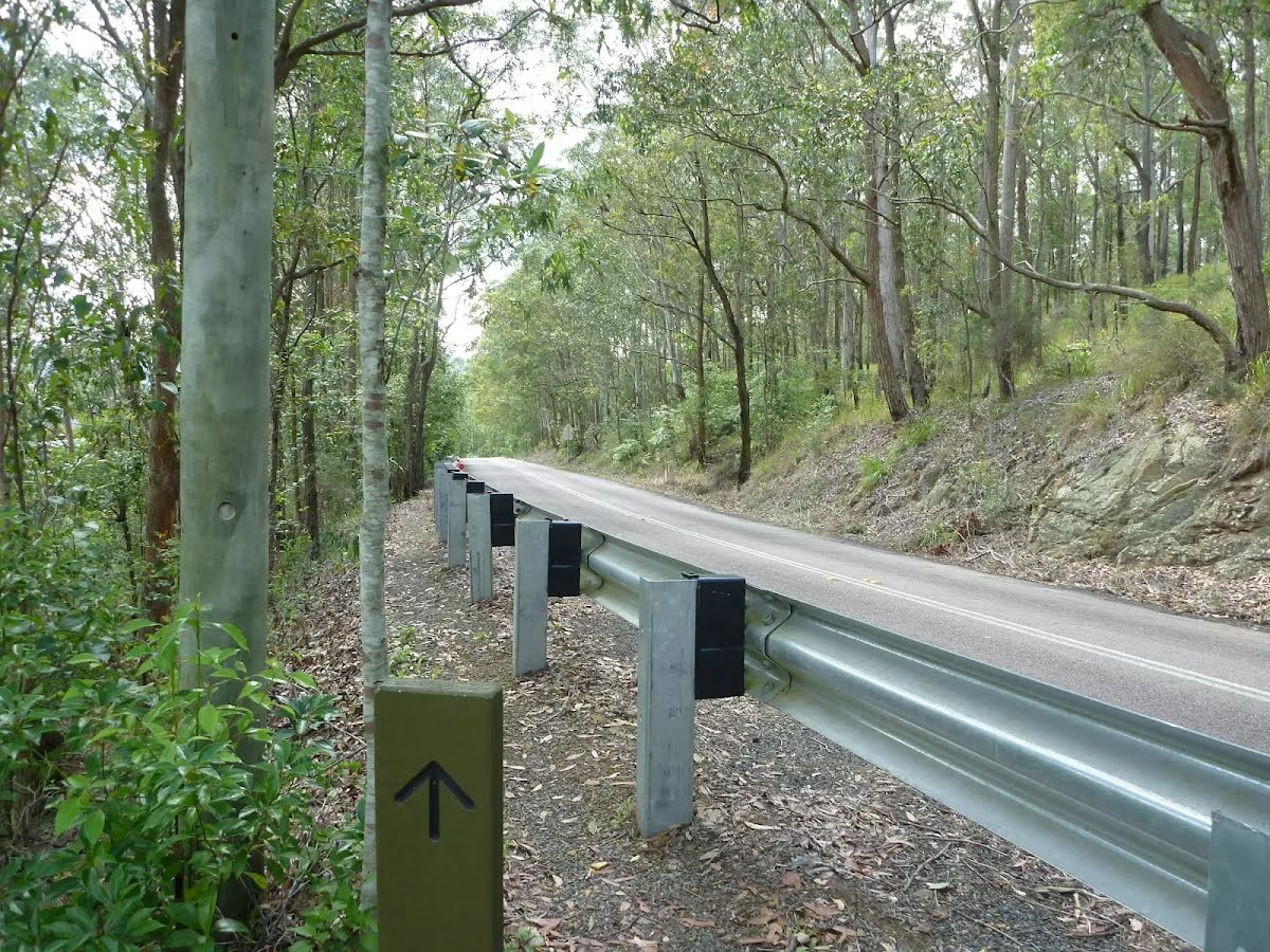
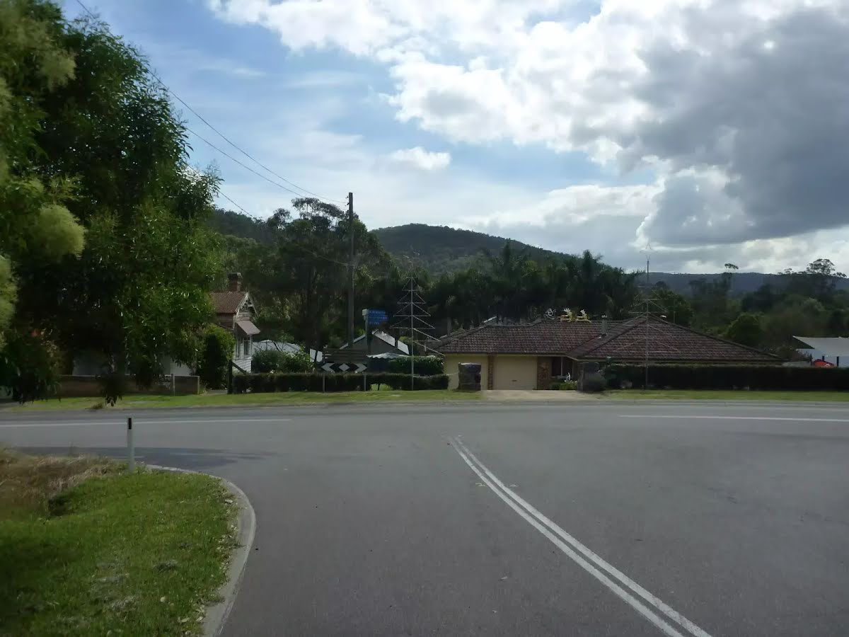
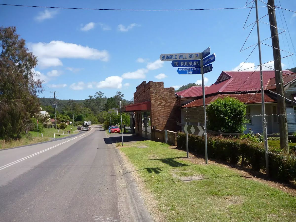
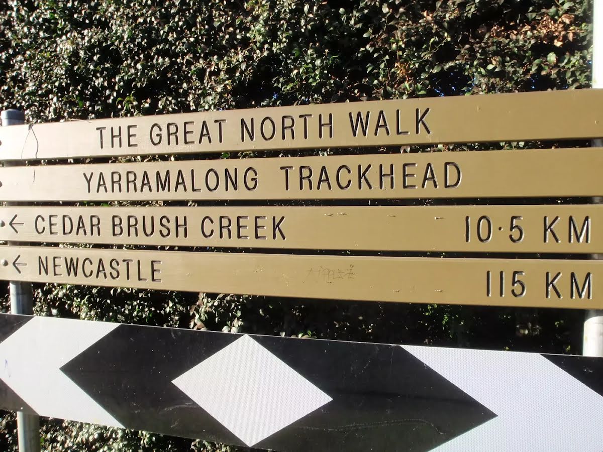
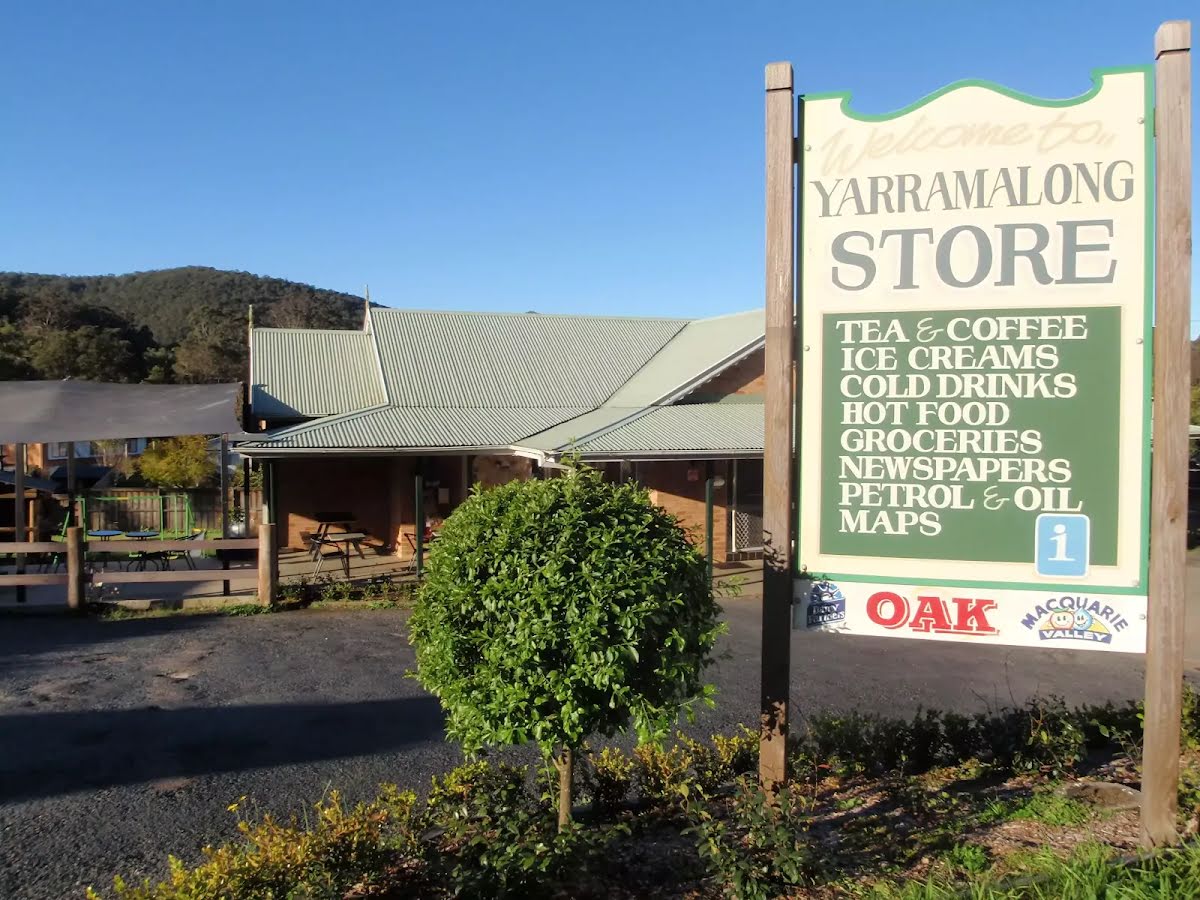
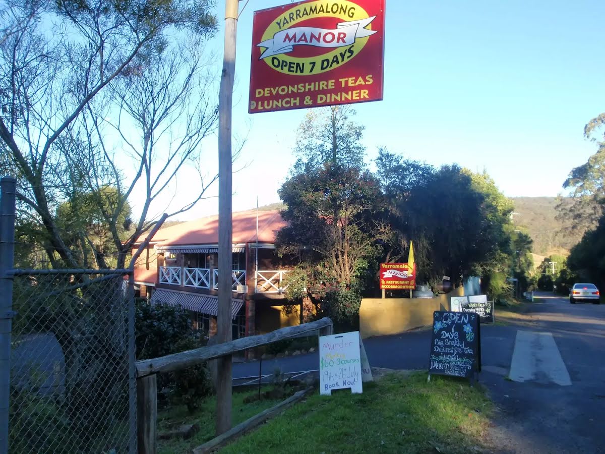
This section of the Great North Walk explores the rural area of Kulnura as you walk along the roads before heading along the historic Bumble Hill Dray Track. This track leads you along the edge of ridge mostly through an open dry eucalypt forests and occasionally through moist ferny gullies as well as leading you alongside the base of a tall rock wall. Bumble Hill Dray Track was cut during the mid 1800’s to allow teams of bullocks to haul felled cedar to Mangrove Creek, where a barge would take it to Sydney. The oxen are now long gone, but this is a great way to lead into the small Yarramalong township. Let us begin by acknowledging the Awabakal people, Traditional Custodians of the land on which we travel today, and pay our respects to their Elders past and present. 
Show all
Signposts at the intersection of Forest and Tooheys Rds . | Photo by admin, 2010.
Tree on Forest Road. | Photo by admin, 2010.
Walking along Forest Road. | Photo by admin, 2010.
Forest Road in Bloom. | Photo by admin, 2010.
Patersonia Lily (Patersonia sericea). | Photo by admin, 2010.
Mountain Devil (Lambertia formosa). | Photo by admin, 2010.
A well armed letter box on Forest Road. | Photo by admin, 2010.
Intersection of Forest and Bumble Hill Roads. | Photo by admin, 2010.
Walking alongside Greta Road. | Photo by admin, 2010.
In Memory of Darren Smith (Olympic cyclist) on Greta Road. | Photo by admin, 2010.
An unhealthy looking snake on Greta Road. | Photo by admin, 2010.
Greta Road passing under the HT powerlines. | Photo by admin, 2010.
The Great North Walk signs at Greta Road. | Photo by admin, 2010.
Walking over the stile. | Photo by admin, 2010.
Following the high tension power lines near Greta Road. | Photo by admin, 2010.
GNW near Greta Road walking under the powerlines. | Photo by admin, 2010.
Small bridge on the Bumble Hill Dray track. | Photo by admin, 2010.
Walking along the Bumble Hill Dray track. | Photo by admin, 2010.
Walking along the narrow Bumble Hill Dray track south of Yarramalong. | Photo by admin, 2010.
Pleasent forest on the Bumble Hill Dray track. | Photo by admin, 2010.
Rock formation on the Bumble Hill Dray track. | Photo by admin, 2010.
Tall forest south of Yarramalong. | Photo by admin, 2010.
Walking beside Bumble Hill Road. | Photo by admin, 2010.
Steps near Bumble Hill Road. | Photo by admin, 2010.
The GNW west of Yarramalong. | Photo by admin, 2010.
Walking beside Bumble Hill Road. | Photo by admin, 2010.
looking down Bumble Hill Road to Yarramalong Rd. | Photo by admin, 2010.
Yarramalong Trackhead. | Photo by admin, 2010.
Yarramalong Trackhead. | Photo by admin, 2008.
Yarramalong General Store. | Photo by admin, 2008.
Yarramalong Manor. | Photo by admin, 2008.
David Neat Memorial 1947 ~ 1996 trough Yarramalong. | Photo by admin, 2010.
Inside Yarramalong store. | Photo by admin, 2010.
Downloads GPX PDF
+
-
Safer Bushwalks
Tips on staying safe on track
Before you start any bushwalk ensure you;
• Tell someone you trust where you are going and what to do if you are overdue
• Have adequate equipment, supplies, skills & knowledge for the whole journey
• Consider the impact of weather forecasts, park/track closures & fire dangers
• Can respond to emergencies & call for help at any point
• Are healthy and fit enough for this journey
If not, change plans and stay safe. It is okay to delay and ask people for help.
+
-
Getting There
Transport options and directions
Start At the intersection of Forest Road & Tooheys Road (-33.2509423,151.2694888)
Mode Bus Car (There is free parking available.) Special (A bus School service runs along Yarramalong Rd from Wyong. Since this is a school bus service it only heads into Yarramalong twice a day. Phone Busway on (02) 4392 6666 to organise a pick up (they are happy to take passengers. More info)
DirectionsFrom Pacific Motorway, M1
  • Turn on to Wyong Road Offramp then drive for 400 m
  • Continue onto Wyong Road Offramp and drive for another 255 m
  • Turn slight left onto Old Maitland Road and drive for another 3.6 km
  • Turn left onto Yarramalong Road and drive for another 15.6 km
  • Turn left onto Bumble Hill Road and drive for another 3.4 km
  • Turn sharp left onto Forest Road and drive for another 1.6 km
Finish (-33.224046,151.278565)
Mode (end) Car Shuttle   Car   (There is free parking available.)
+
-
Track Notes
Turn by turn instructions & maps
Getting started
From the intersection, this walk follows the GNW arrow post, gently downhill along the sealed Forest Rd. The road gently meanders past a number of rural properties for about 800m to pass under a set of high tension power lines. After passing under the power lines, the road leads gently down for about 500m to pass a well armed letter box (on your left), then about 250m later, the walk comes to a T-intersection with 'Greta Rd' (and 'Bumble Hill Rd'). Here the walk turns left,, following the sealed 'Greta Rd' uphill passing among the rural properties for about 400m to pass a small memorial plaque 'In Memory of Darren Smith Olympic Cyclist' (on your left). Just shy of 500m later, the road leads over a small rise to pass under some more high tension power lines and come to an intersection with a dirt trail (on your right), marked with a 'Great North Walk' sign.....
Turn map Directions & comments
At the intersection of Forest Road & Tooheys Road Start heading along Forest Road (a residential road).
After another 850 m continue straight, to head along Forest Road.
After another 750 m (at the intersection of Bumble Hill Road & Forest Road) turn left, to head along Greta Road (a highway|tertiary).
After another 265 m continue straight, to head along Greta Road.
After another 165 m continue straight, to head along Greta Road.
After another 215 m continue straight, to head along Greta Road.
After another 110 m continue straight, to head along Greta Road.
After another 185 m veer right.
After another 265 m continue straight.
After another 40 m continue straight.
After another 185 m continue straight.
After another 120 m turn right.
After another 4.1 km continue straight, to head along Bumble Hill Road.
After another 530 m come to the end.
About 55 m past the end is "Yarramalong Store".
Yarramalong Store
Yarramalong Store

Yarramalong Store is good place to have lunch or pick up the basic food supplies. The store serves hot food including burgers, chips, pies etc as well as cold drinks. The store is open 7am to 7pm, 7 days a week. There is a pay phone outside and a tap to refill water, and the store has its own fuel pump. Phone on (02)4356 1222. The address is 1625 Yarramalong Rd, Yarramalong NSW 2259. I always encourage people to use local stores like this on track, but since it is a small store it is worth phoning ahead to see what they have what you want in stock. It is a small store so choice is limited.
+
-
Yarramalong Store is good place to have lunch or pick up the basic food supplies. The store serves hot food including burgers, chips, pies etc as well as cold drinks. The store is open 7am to 7pm, 7 days a week. There is a pay phone outside and a tap to refill water, and the store has its own fuel pump. Phone on (02)4356 1222. The address is 1625 Yarramalong Rd, Yarramalong NSW 2259. I always encourage people to use local stores like this on track, but since it is a small store it is worth phoning ahead to see what they have what you want in stock. It is a small store so choice is limited.

About 145 m past the end is a toilet.
+
-
Terrain
Know the Hills, grading & facilities

Forest Road to Yarramalong


Grading
Class 4/6
Hard track
Length 7.8 km
Time 2 h 30 min to 3 h 30 min
Quality of track Formed track, with some branches and other obstacles (3/6)
Gradient Very steep (4/6)
Signage Directional signs along the way (3/6)
Infrastructure Limited facilities, not all cliffs are fenced (3/6)
Experience Required Some bushwalking experience recommended (3/6)
Weather Storms may impact on navigation and safety (3/6)

Some facilities on route
Toilet: There is one 7.8 km from the start.


Order of key facilities on route
ItemFrom StartName & link to notes
Toilet
7.8 km[toilet]
+
-
Articles
Discover more details to thrive on track
+
-
Reviews & Feedback
Share your experience
+
-
Weather & Alerts
Check forecasts & closures
Show Full Weather
Alerts and Closures
Show all alerts
Show all alerts
Show all alerts
+
-
Other Journeys
Discover nearby and similar journeys
Some of the information and maps on this page was generated using data from the awesome © OpenStreetMap contributors.
Please see how you can embed some widgets, access data and other stuff to that might be helpful.