

| Start | At the intersection of Stone Parade & Cascades Trail (-33.7372726,151.1961826) |
| Mode | Bus Car (There is free parking available.) |
| Directions | From Lane Cove Road, A3
|
| Finish | (-33.7469933,151.1998873) |
| Mode (end) | Car Shuttle Bus Car (There is free parking available.) |
| Turn map | Directions & comments |
|---|---|
 |
|
 |
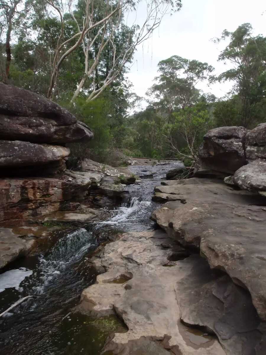
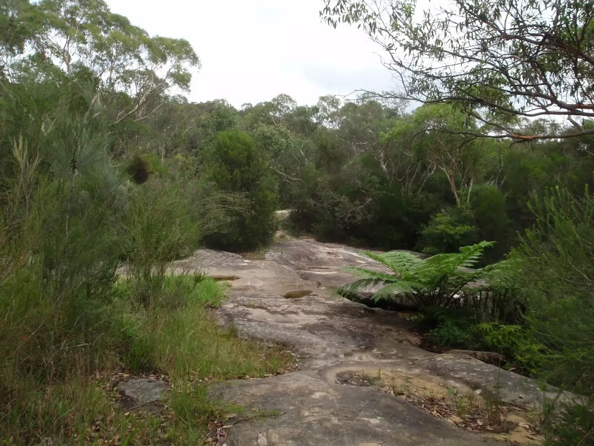
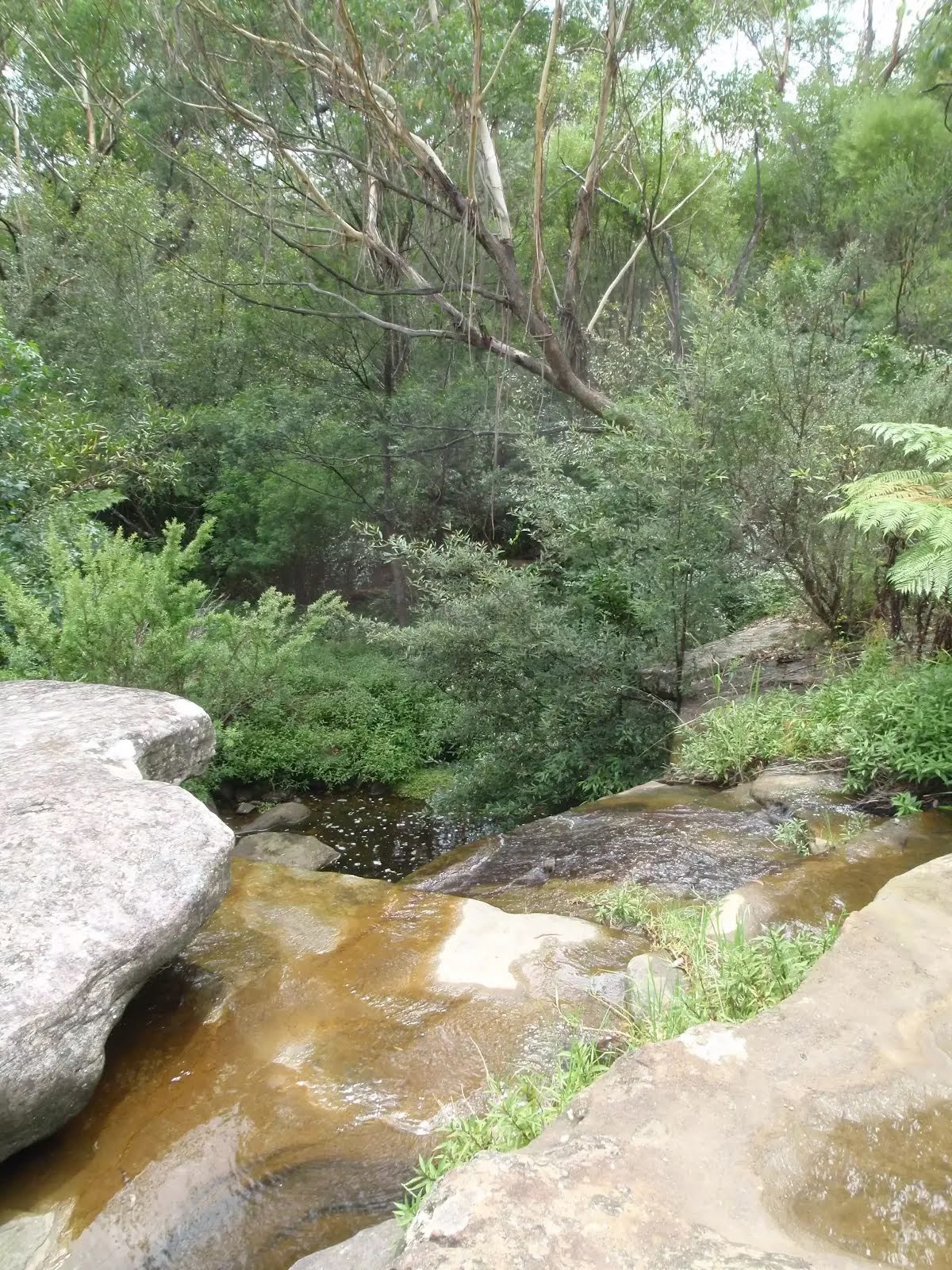
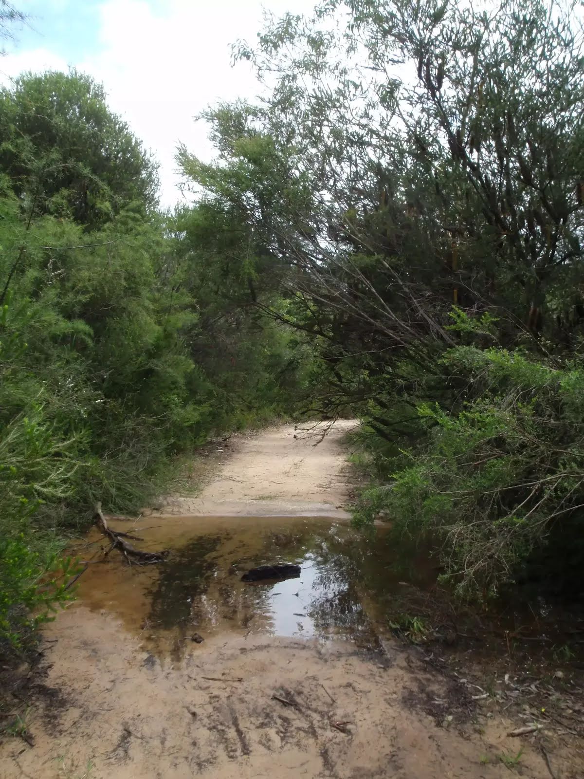
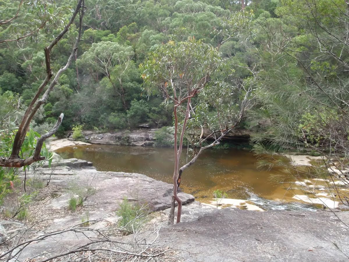
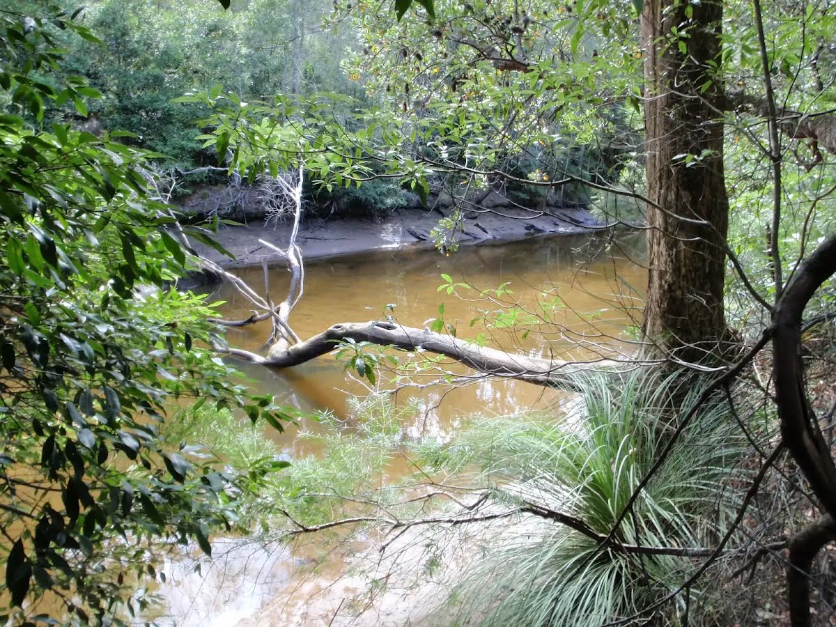
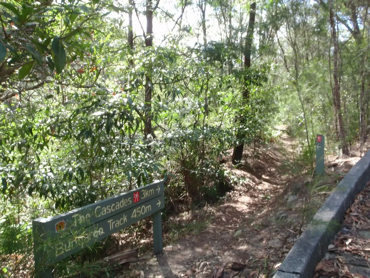
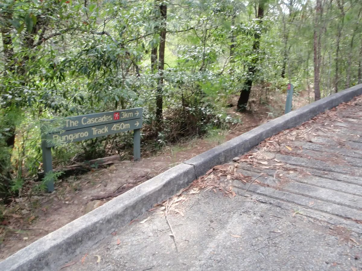
The starting point of an optional sidetrip. An optional side trip to Tributary Cascades. To start this optional side trip turn right here. On returning from this side trip turn right when you get back to this intersection. Details below.
|
 |
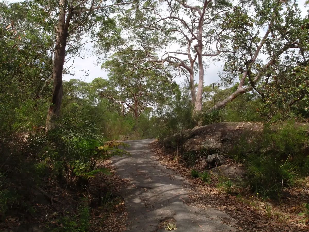
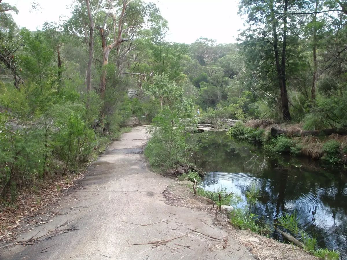
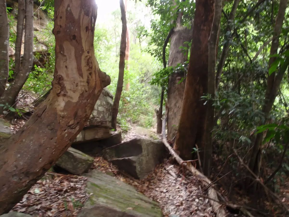
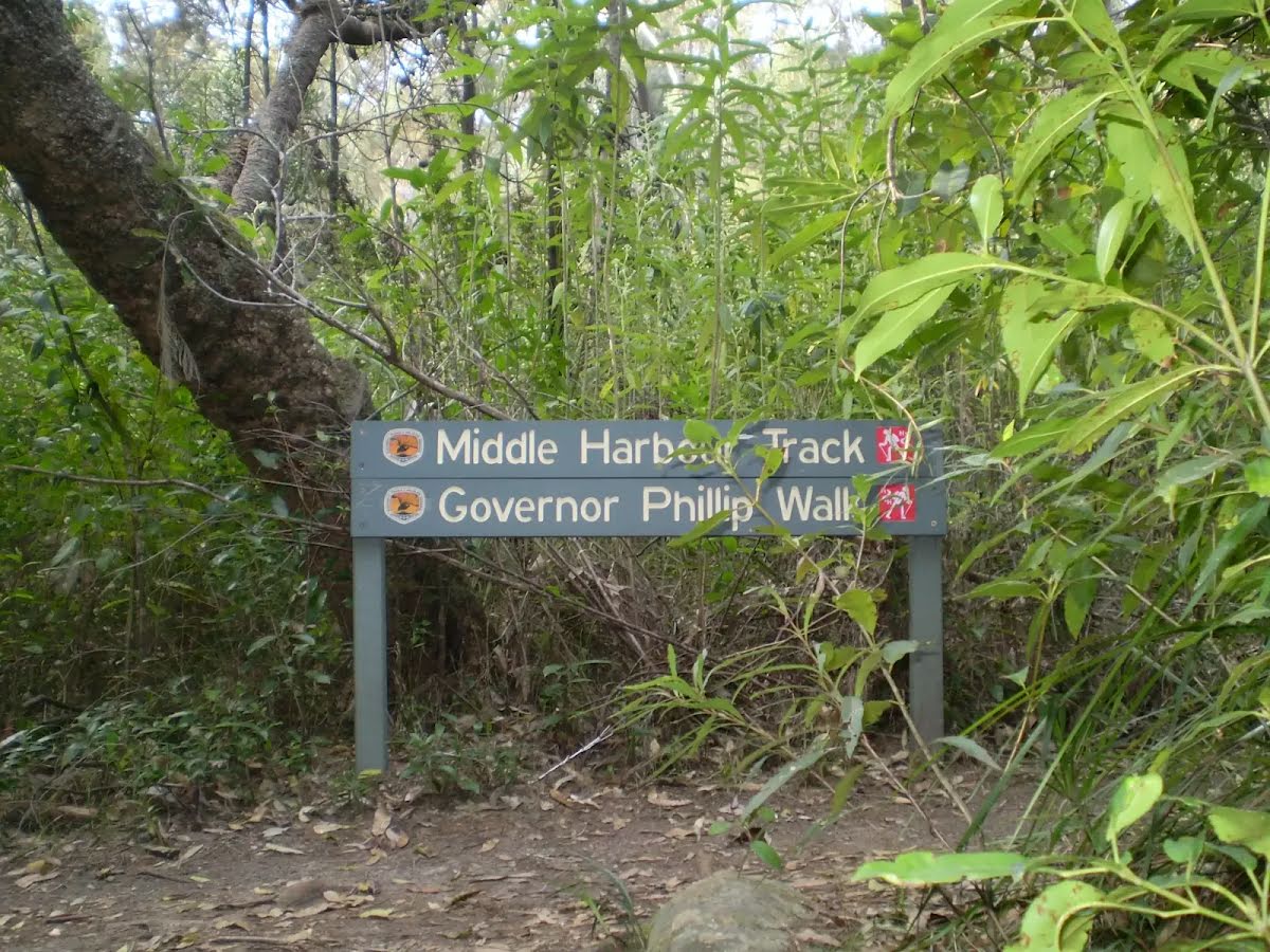
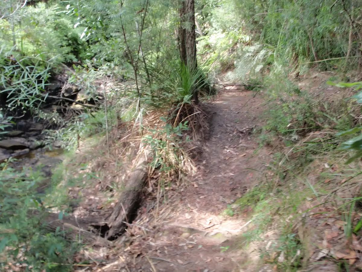
After another 560 m (at the intersection of Cascades Trail & Middle Harbour Track) continue straight, to head along Middle Harbour Track (a walking track).
|
 |
|
 |
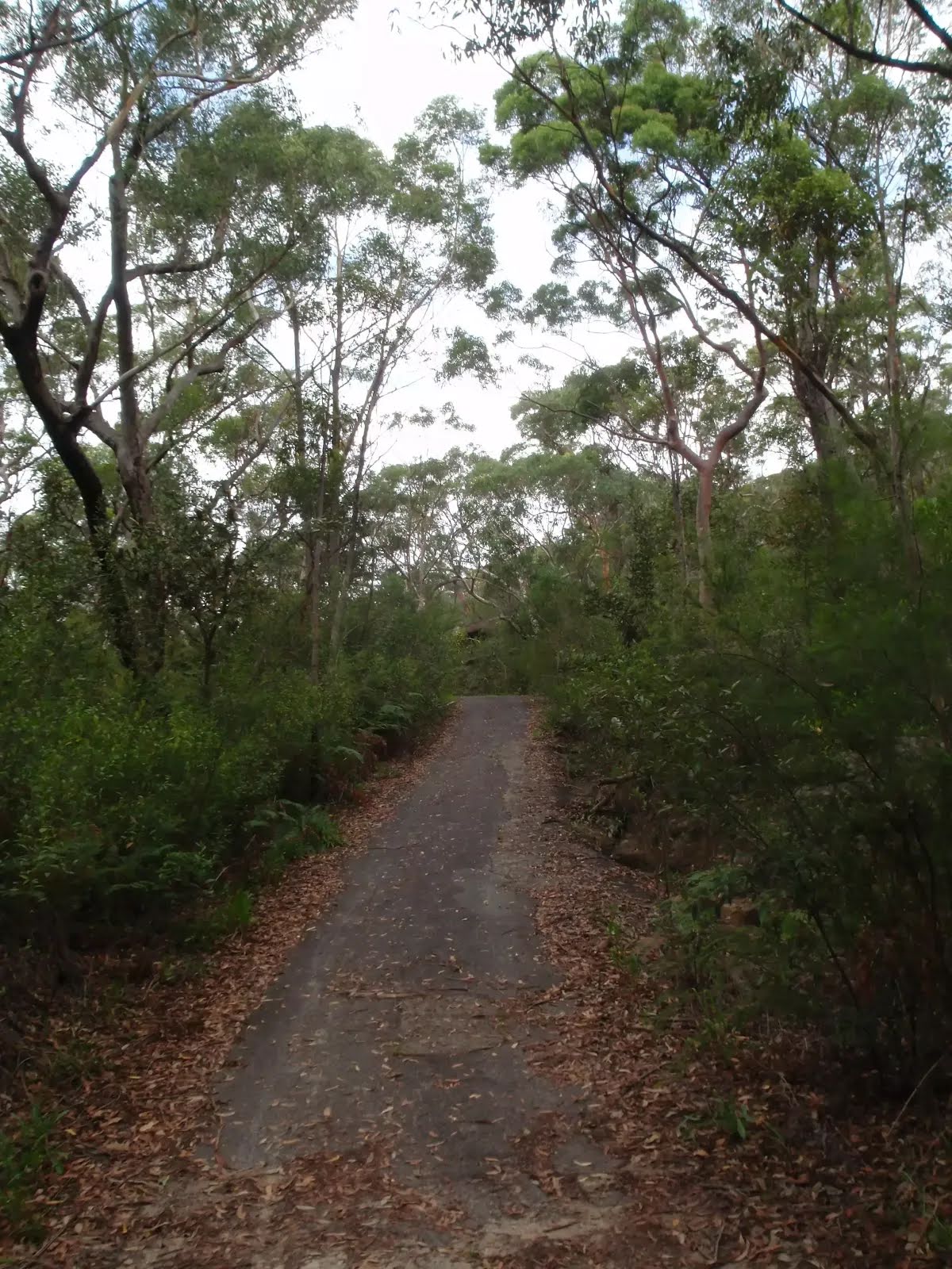
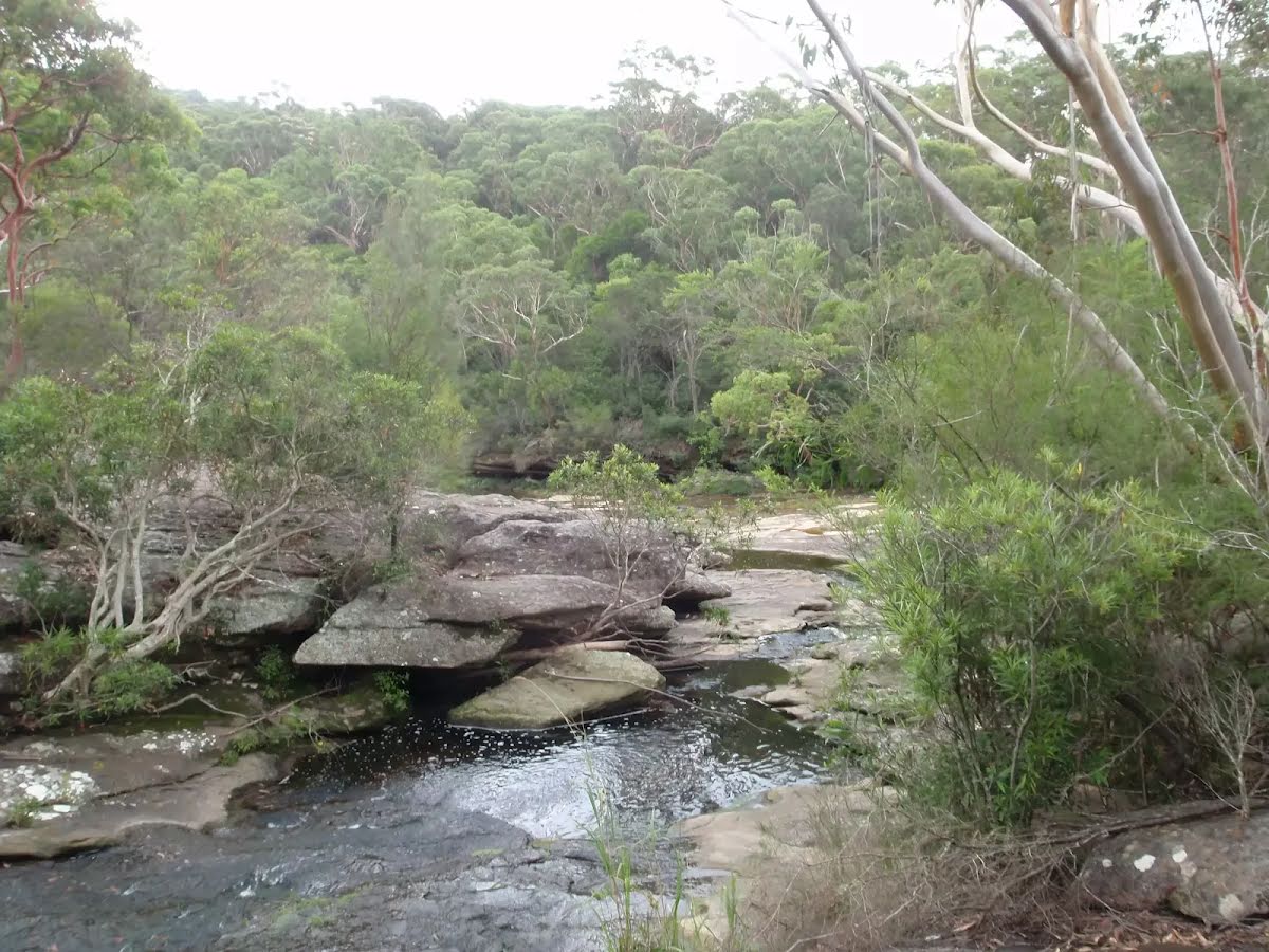
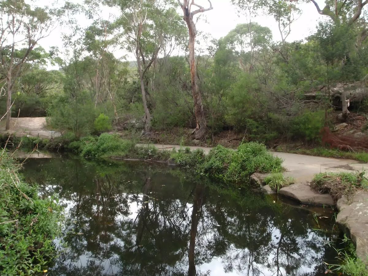
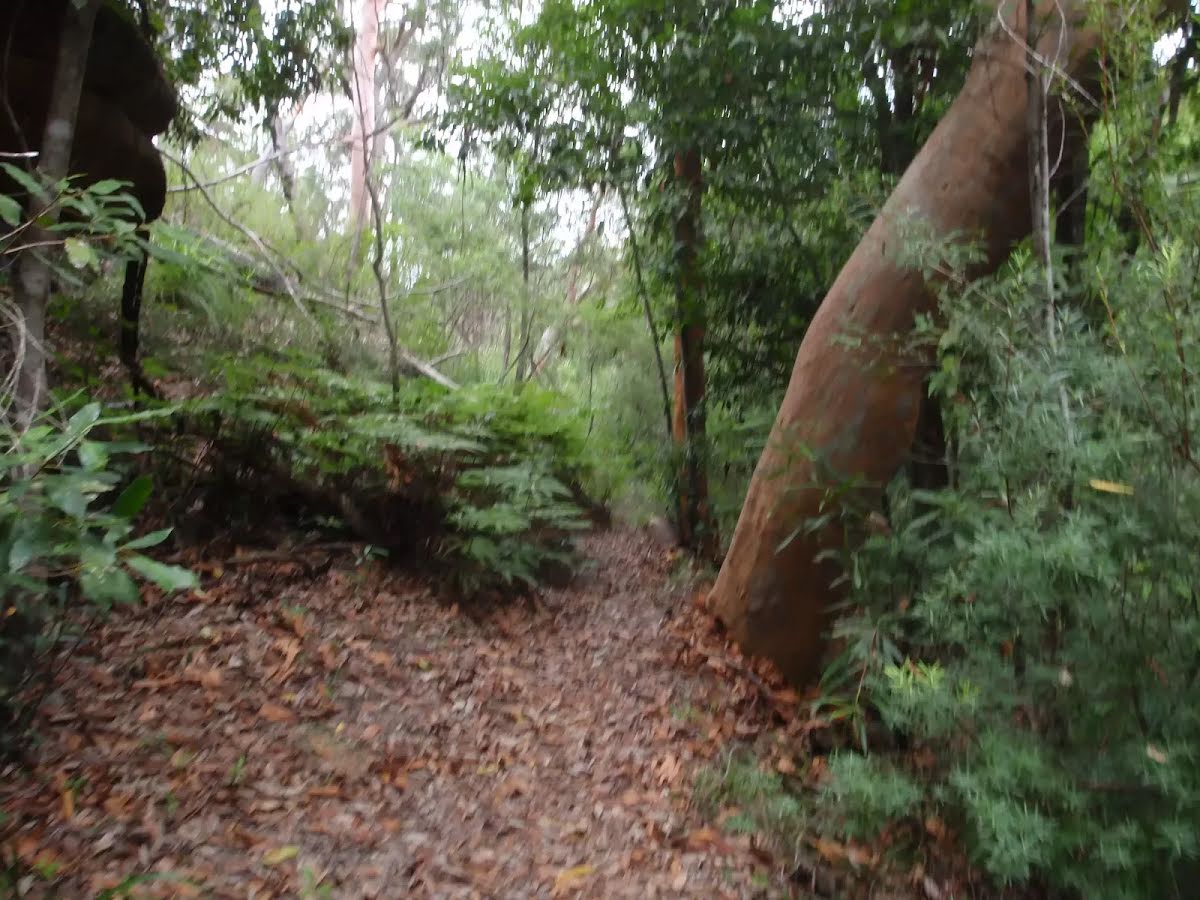
After another 200 m (at the intersection of Governor Philip Track & Bungaroo Crossing) continue straight, to head along Governor Philip Track.
|
 |
|
 |
|
 |
| Turn map | Directions & comments |
|---|---|
 |
|
 |

|
|
Class 4/6 Hard track |
|---|---|
| Length | 5.8 km |
| Time | 2 h 15 min to 2 h 30 min |
| Quality of track | Formed track, with some branches and other obstacles (3/6) |
| Gradient | Very steep (4/6) |
| Signage | Directional signs along the way (3/6) |
| Infrastructure | Limited facilities, not all cliffs are fenced (3/6) |
| Experience Required | Some bushwalking experience recommended (3/6) |
| Weather | Storms may impact on navigation and safety (3/6) |