| Turn map |
Directions & comments |
|
|

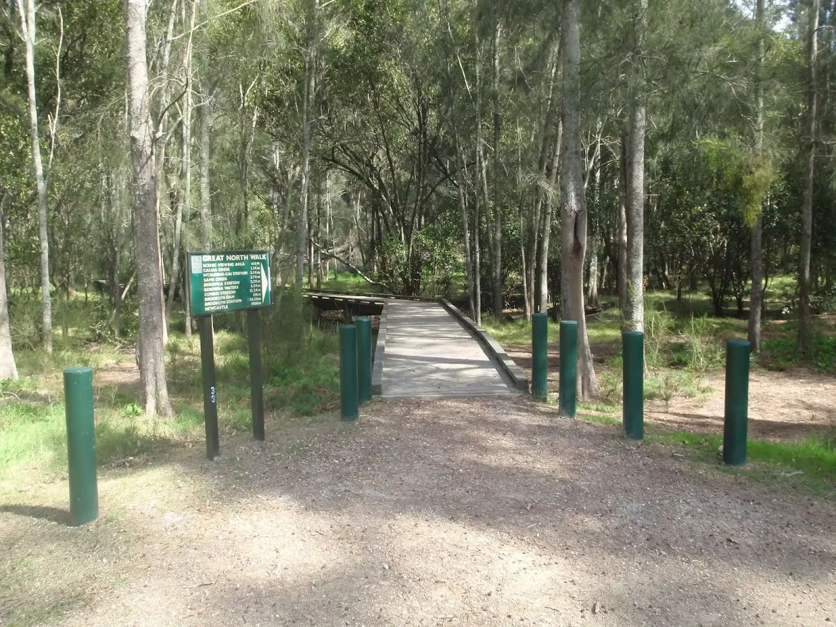
Start.

After another 7 m turn left.

There is a car park (about 6 m back from the start).

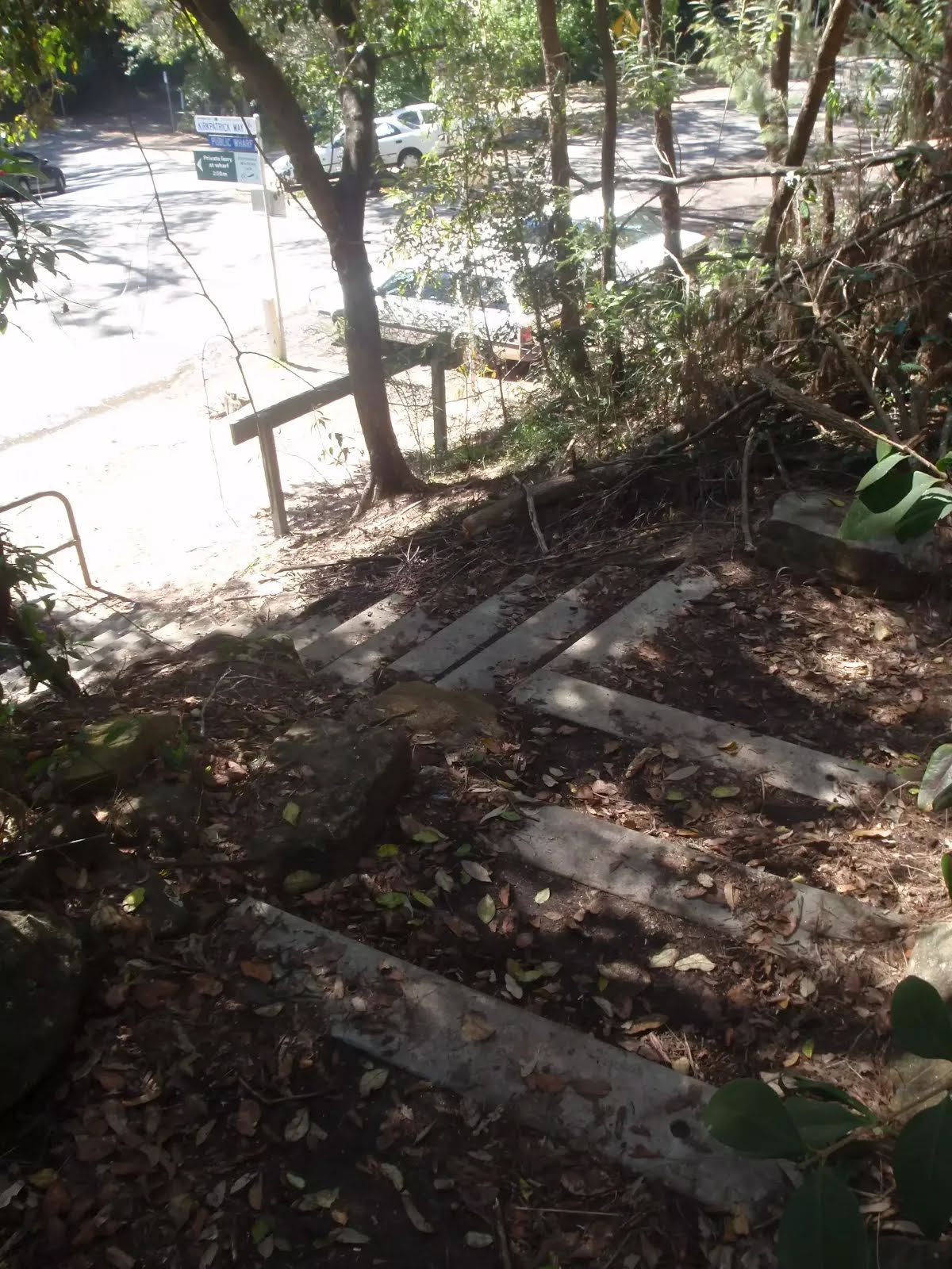
Find the bollard at the start.
Find the bollard at the start.

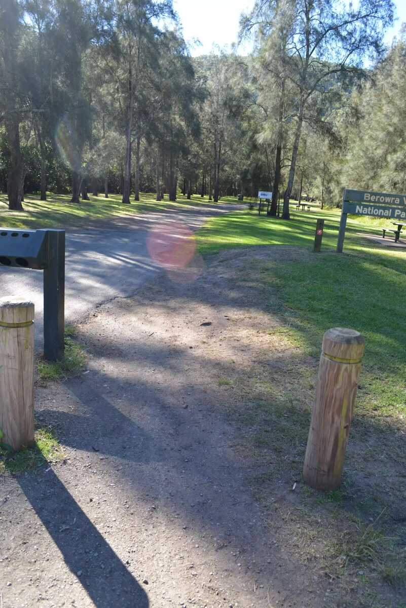
After another 45 m head through/around the gate.
|
|
|

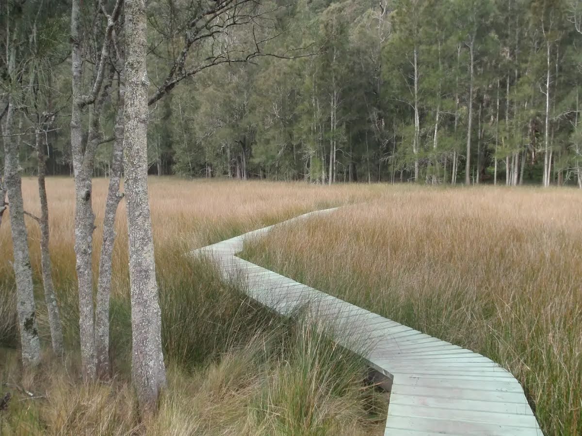
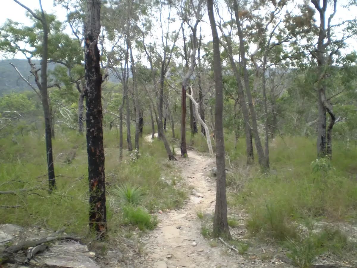
After another 5 m continue straight, to head along Benowie Walking Track.

After another 8 m find the "Wheelchair Rough" (on your left).

After another 95 m pass the "tap" (on your right).

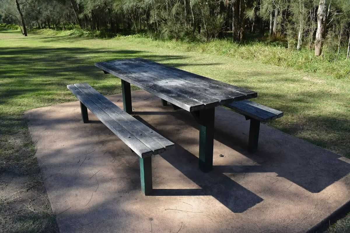
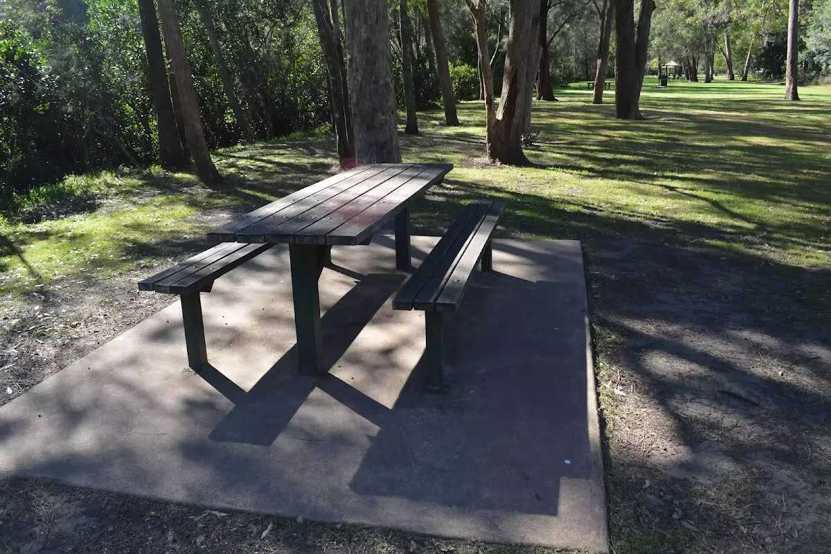
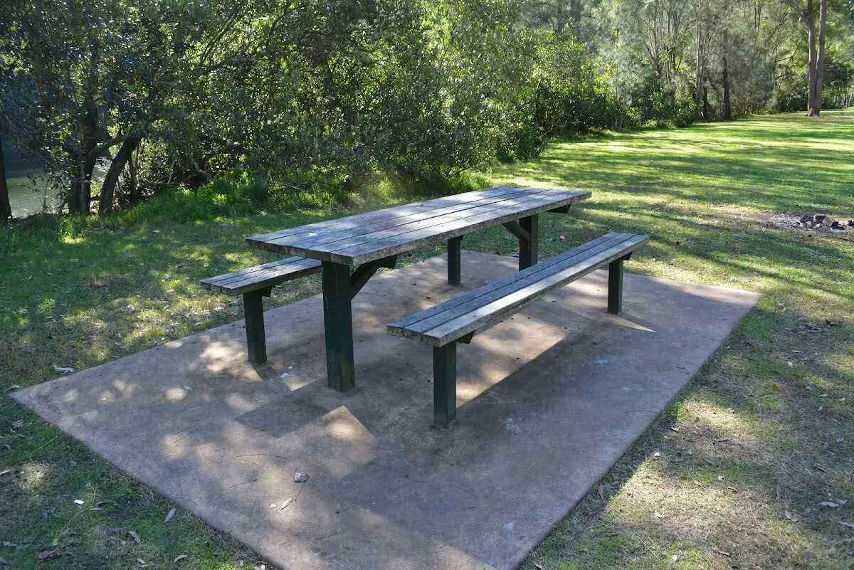
After another 20 m find the "Picnic Table" (5 m on your right).
After another 50 m find the "Picnic Table" (15 m on your left).
After another 20 m find the "Picnic Table" (25 m on your left).
|
|
|

After another 65 m turn right, to head along The Great North Walk.
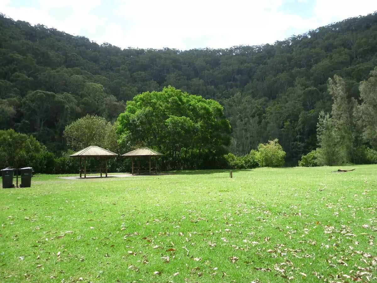
After another 15 m find the "Crosslands North Picnic area" (10 m on your left).

After another 20 m find the "Trip Hazard" (on your left).

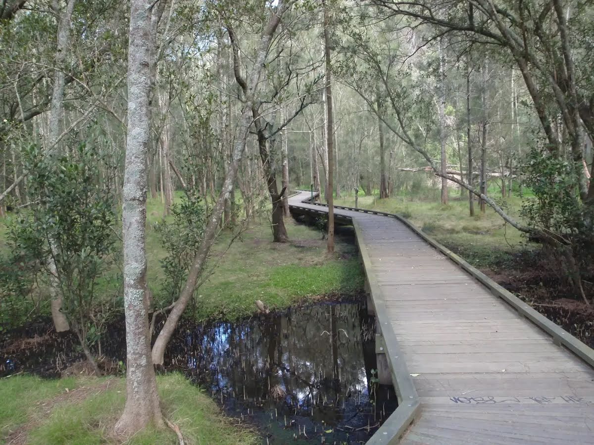
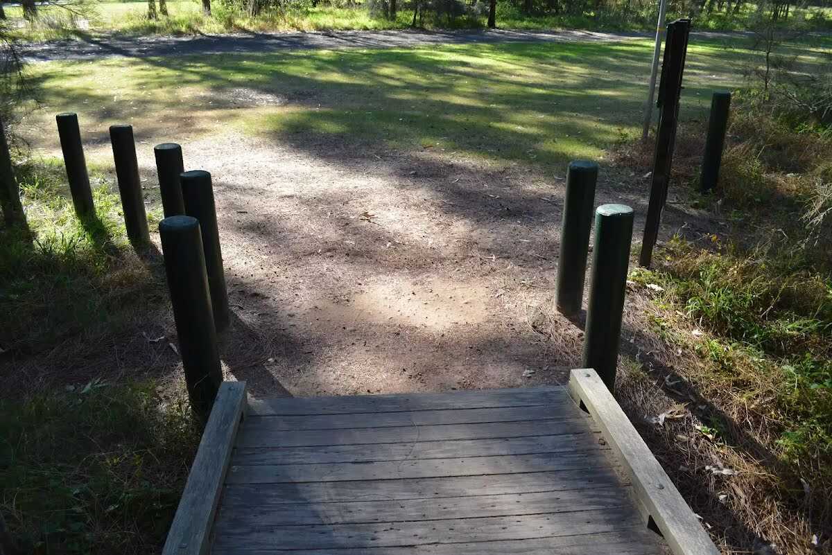
Then cross the bridge (about 55 m long)
After another 75 m cross the bridge (about 80 m long)
|
|
|
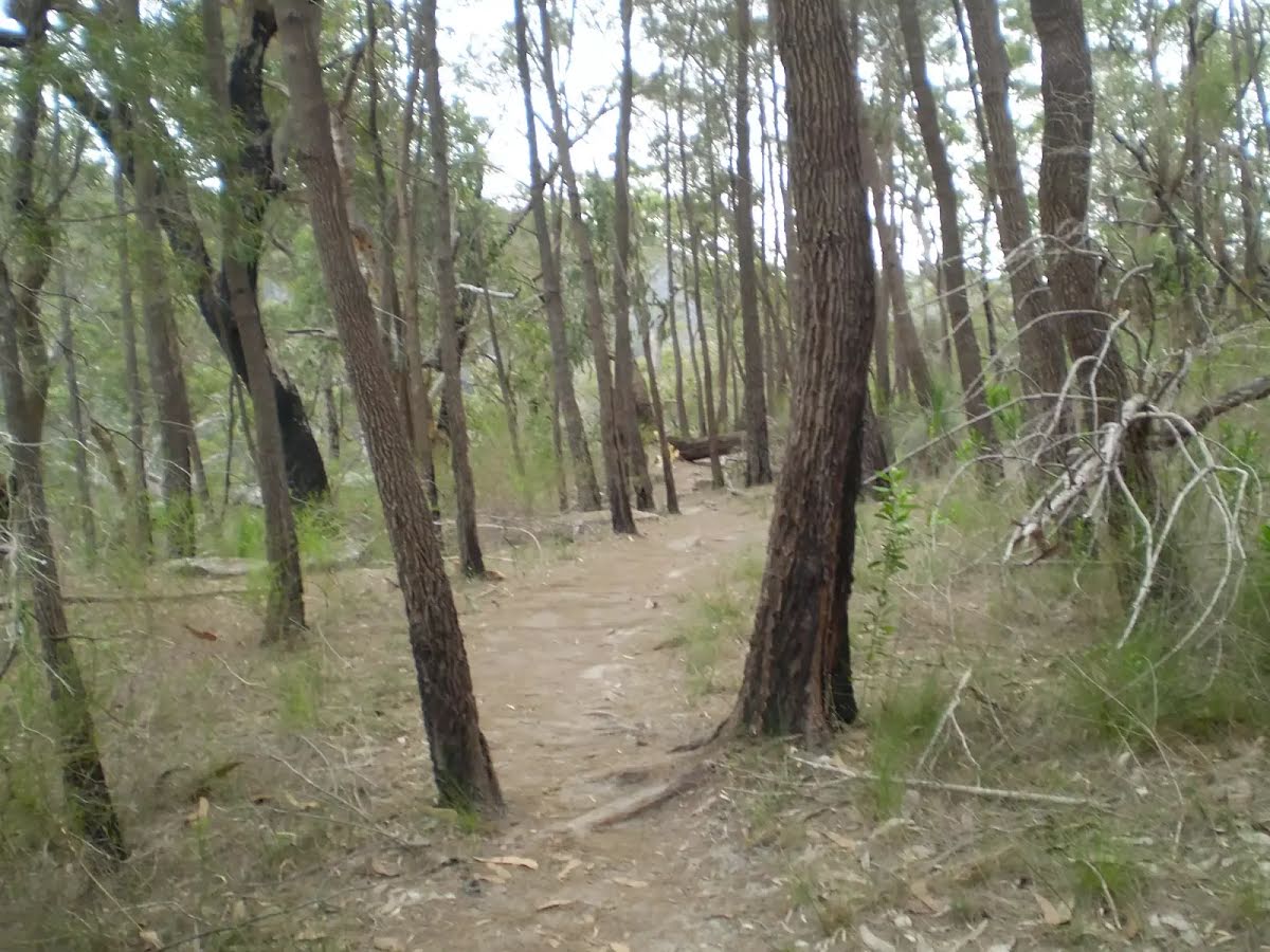
Continue straight, to head along The Great North Walk.

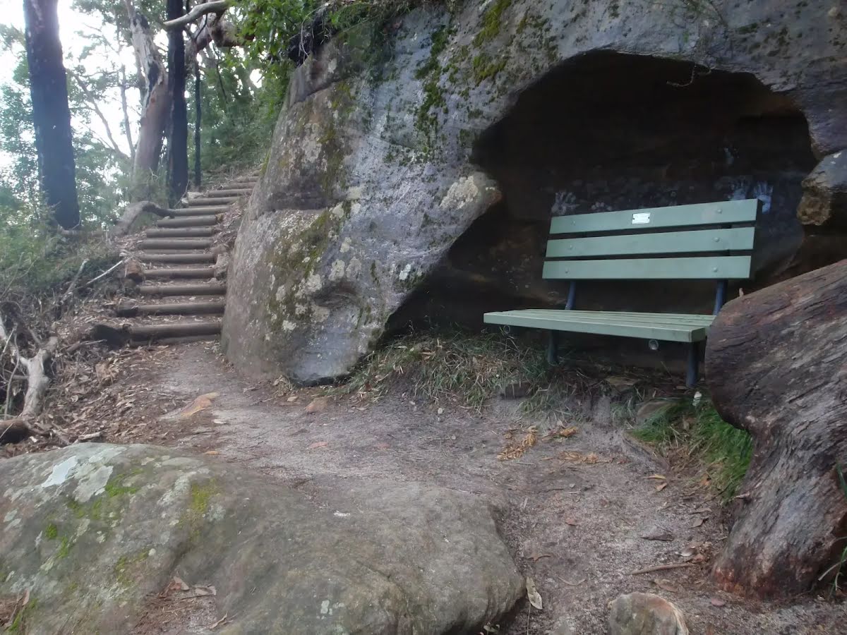
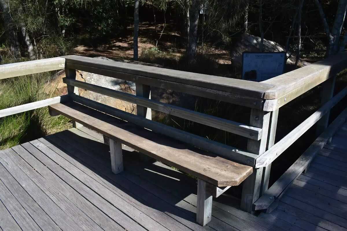
After another 10 m pass a seat (10 m on your left)., has a backrest.

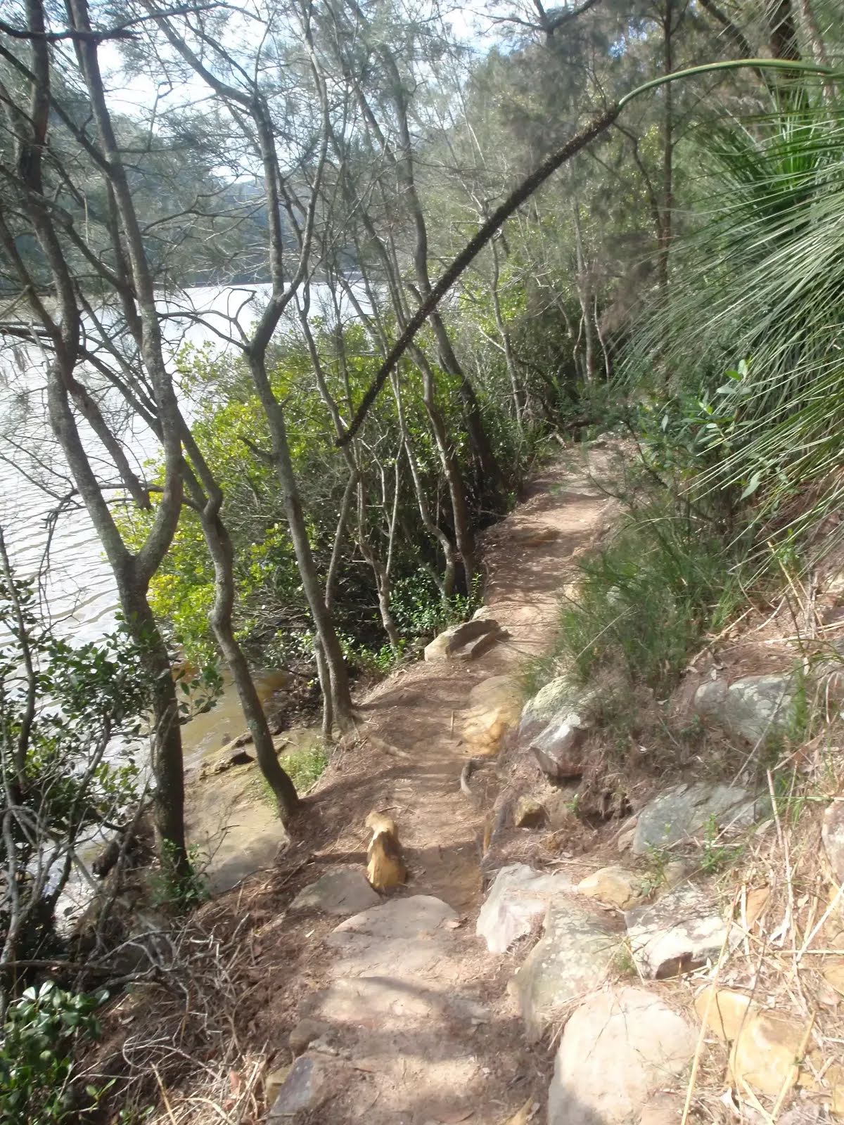
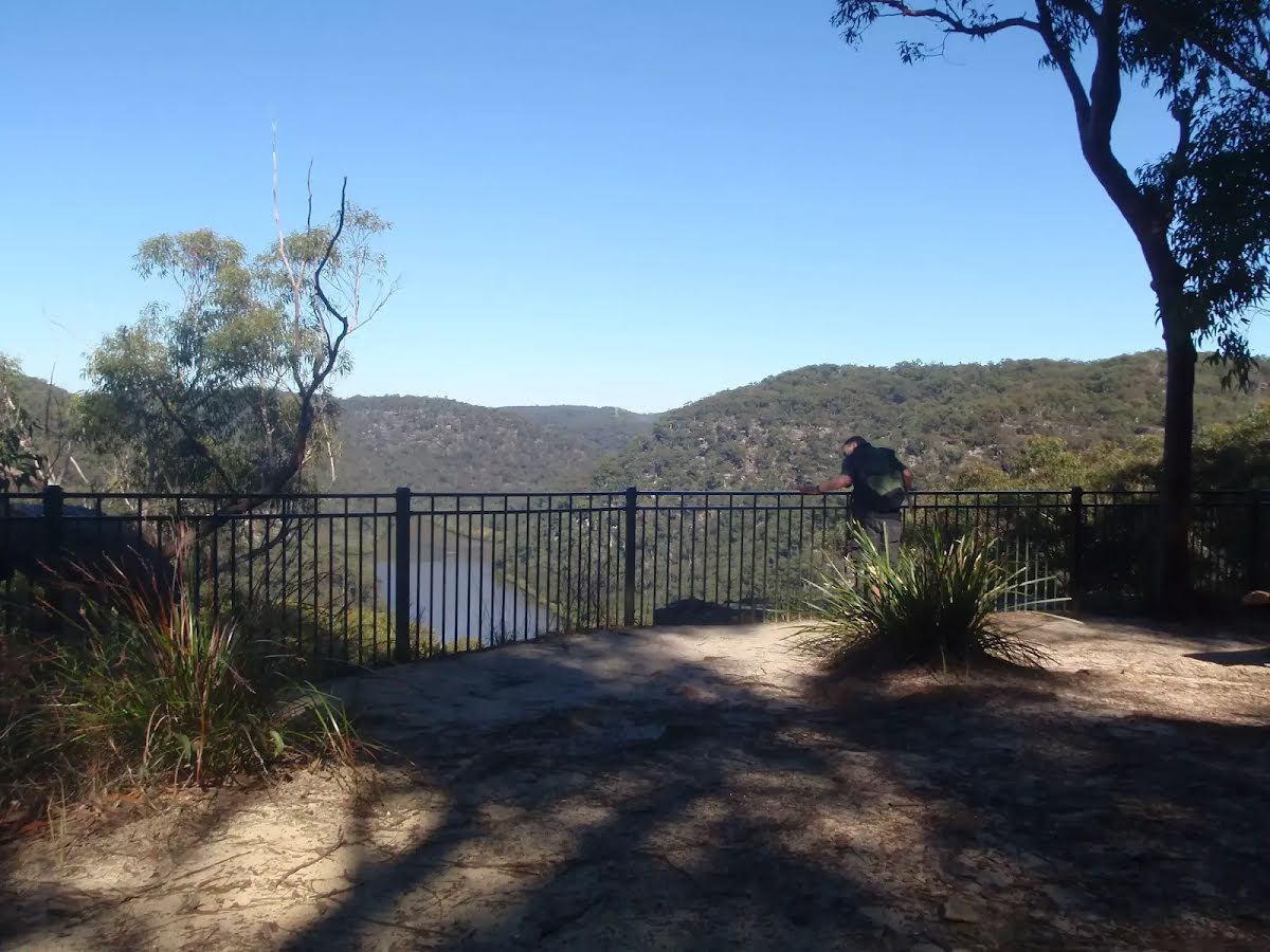
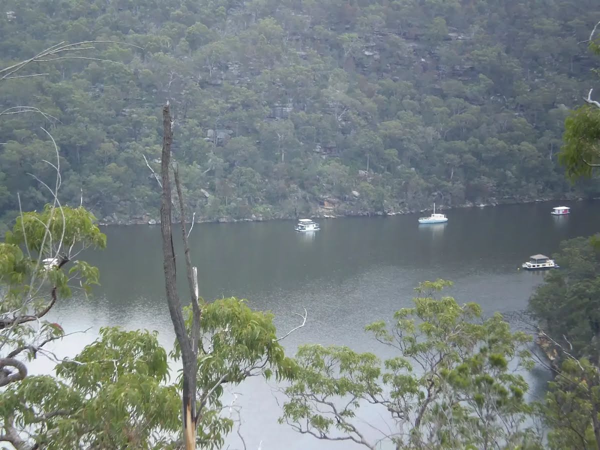
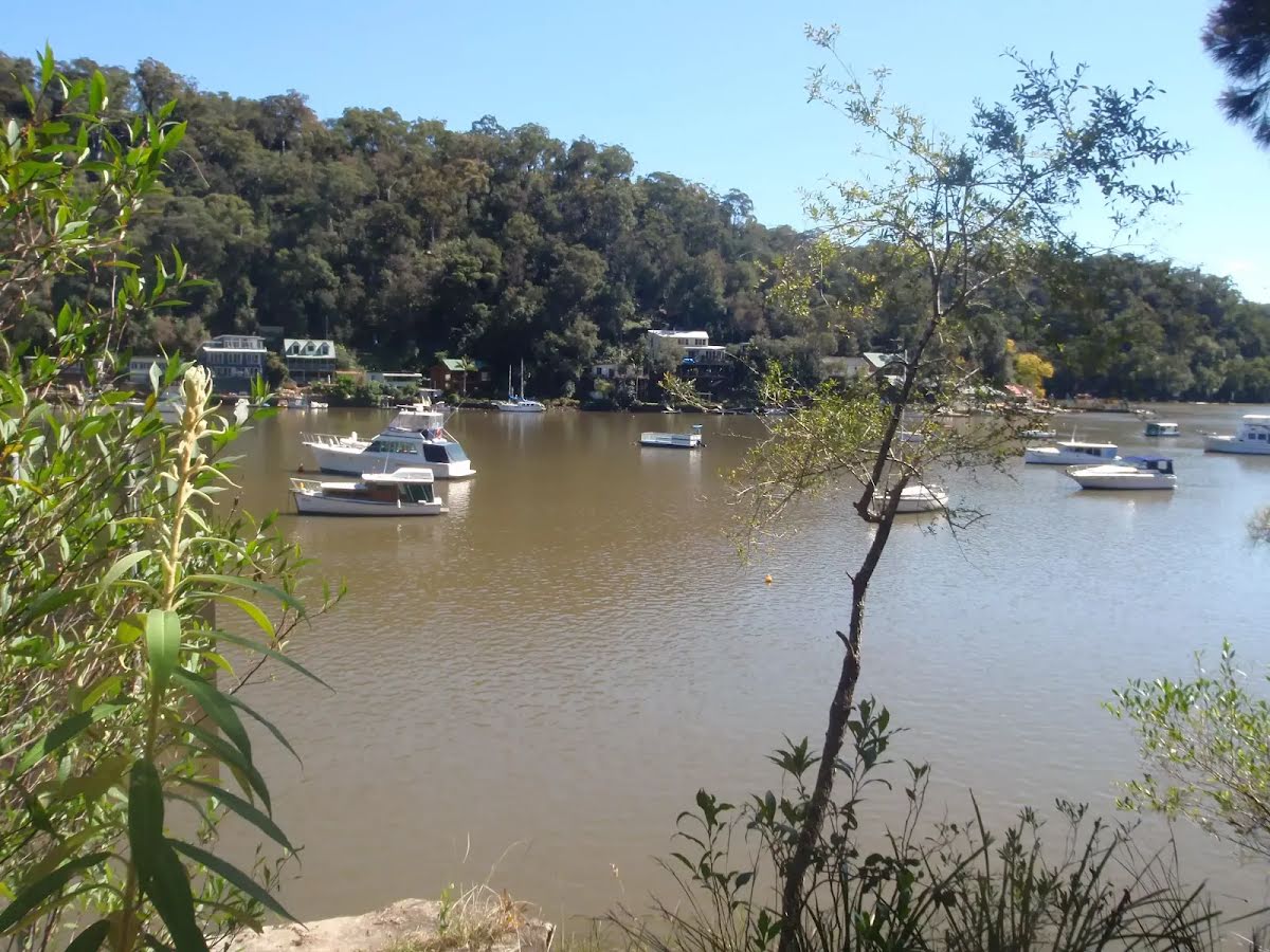
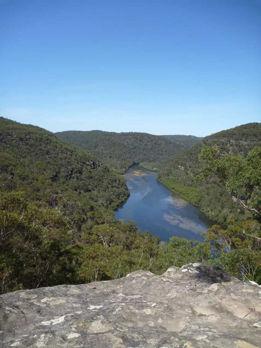
After another 15 m find the "Berowra Creek (Estuarie) Lookout" (on your left).
Then find the "Seat" (15 m on your left).
After another 220 m cross the bridge (about 15 m long)
After another 165 m pass a seat (on your right)., has a backrest.

After another 155 m head up the 65 steps (about 55 m long)
|
|
|
After another 20 m continue straight, to head along The Great North Walk.

After another 15 m head down the 72 steps (about 55 m long)
Continue straight, to head along The Great North Walk.
After another 15 m pass a seat (on your left)., has no backrest.
After another 7 m cross the Calna Creek Bridge (about 30 m long)
|
|
|
After another 3 m (at the intersection of Lyrebird Gully Track & The Great North Walk) continue straight, to head along The Great North Walk.
|
|
|
After another 1.1 km continue straight, to head along The Great North Walk.

After another 500 m cross the ford.
|
|
|
At the intersection of Sams Creek Track & The Great North Walk continue straight, to head along The Great North Walk.
After another 40 m head up the 10 earthen steps (about 3 m long)
After another 40 m head up the 18 earthen steps (about 5 m long)
After another 20 m head up the 31 earthen steps (about 10 m long)
After another 45 m head up the 41 earthen steps (about 15 m long)
After another 40 m head up the 24 earthen steps (about 15 m long)
After another 40 m head up the 7 surface|wood steps
After another 50 m head up the 11 stone steps (about 7 m long)
After another 110 m head up the 30 stone steps (about 10 m long)
After another 10 m head up the 30 surface|wood steps (about 15 m long)
After another 15 m head up the 37 stone steps (about 10 m long)
Then head up the 8 surface|wood steps (about 7 m long)
Then head up the 7 earthen steps (about 5 m long)
|
|
|
After another 105 m (at the intersection of Berkeley Firetrail & The Great North Walk) turn left, to head along Berkeley Firetrail (a vehicle track).
|
|
|
After another 245 m continue straight, to head along Berkeley Firetrail.
After another 55 m pass the picnic table (15 m on your left).
Then come to the "Naa Badu Lookout" (20 m on your left).

Then pass the sign (15 m on your left).
After another 8 m pass a seat (20 m on your left)., has a backrest.
Then find the "Naa Badu Lookout" (on your left).
|
|
|
After another 520 m (at the intersection of Berkeley Firetrail & The Great North Walk) turn left, to head along The Great North Walk (a walking track).
After another 7 m head down the 23 earthen steps (about 15 m long)
After another 8 m head down the 14 earthen steps (about 6 m long)
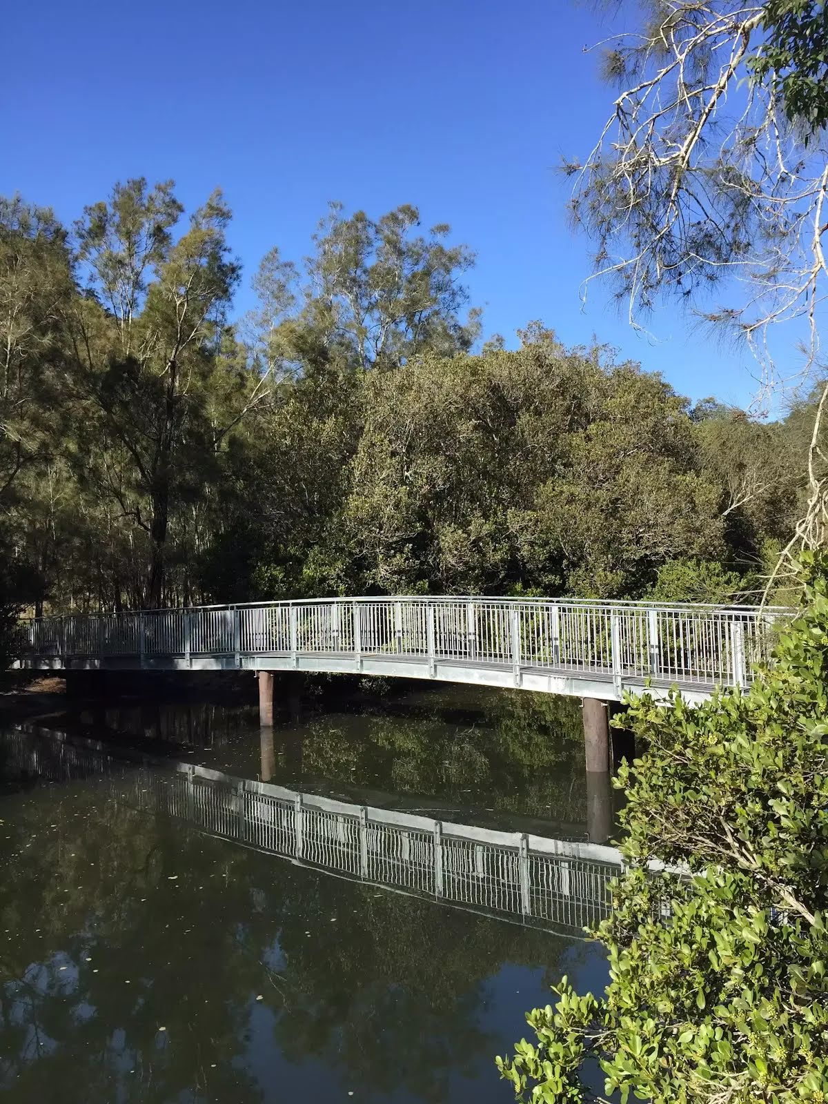
After another 15 m cross the bridge (about 10 m long)
Then head up the 17 earthen steps (about 9 m long)
After another 30 m head up the 19 earthen steps (about 9 m long)
After another 170 m pass a seat (on your right)., has a backrest.
After another 55 m cross the ford.
After another 45 m head up the 37 earthen steps (about 15 m long)
After another 15 m head up the 27 stone steps (about 10 m long)
|
|
|

After another 120 m veer left, to head along The Great North Walk.
After another 1.1 km come to the viewpoint (5 m on your left).
After another 60 m head down the 11 earthen steps (about 20 m long)
Then head down the 27 stone steps (about 15 m long)
After another 15 m come to the viewpoint (on your left).
|
|
|
Continue straight, to head along The Great North Walk.
Then head down the 5 earthen steps
After another 25 m head down the 27 earthen steps (about 10 m long)
After another 20 m head down the 7 stone steps
After another 145 m cross the ford.
After another 245 m head down the 13 earthen steps (about 15 m long)

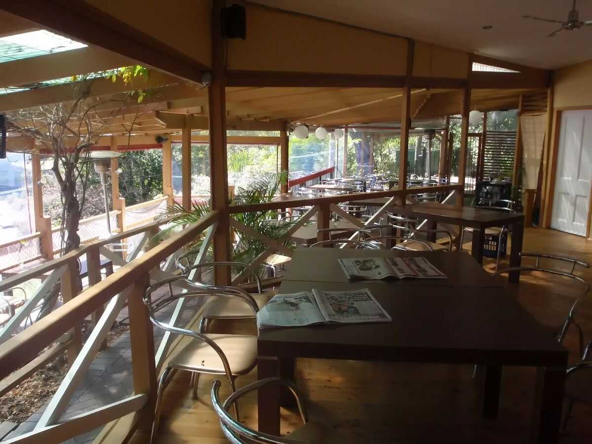
Then pass the "A Chef Secrets" (35 m on your left).
After another 35 m find the "Berowra Waters Garden House" (25 m on your left).
A water tap.
Then head down the 4 stone steps
About 40 m past the end is a water tap.

About 60 m past the end is a toilet.
|
|
|

Turn around here and retrace the main route for 6.6 km to get back to the start.
|