Medlow Bath to the Collosseum
Dharug & Gundungurra Country

2 h to 2 h 15 min

3.2 km
return

↑ 389 m
↓ -389 m

Hard track
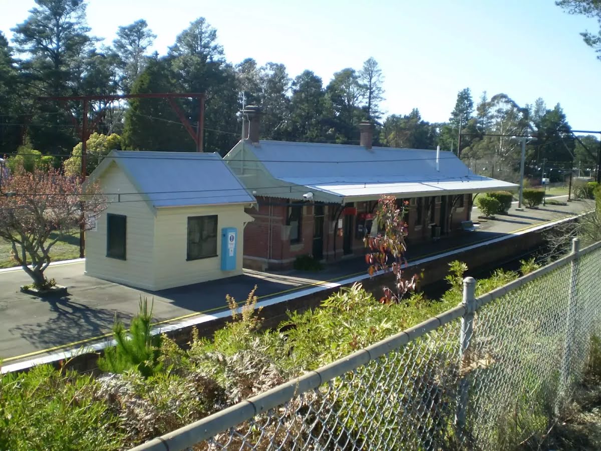
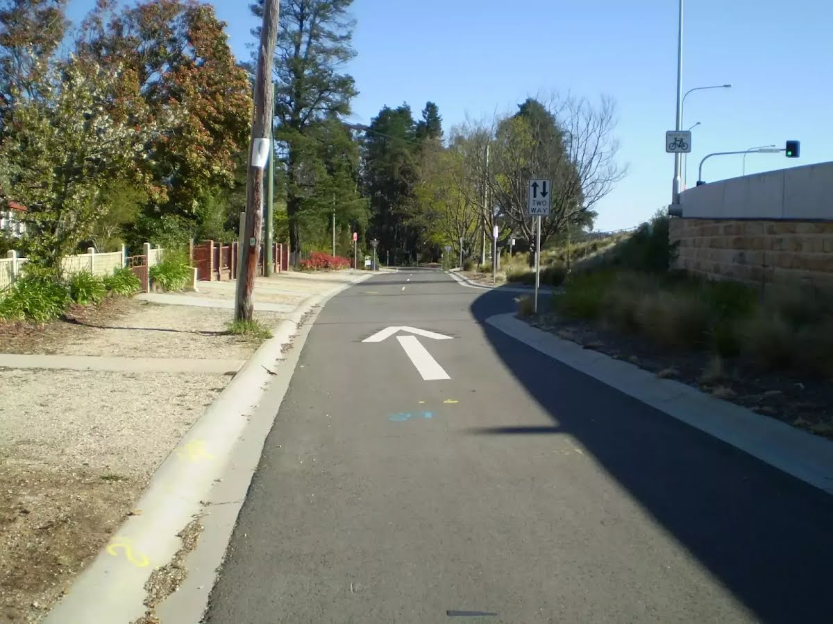
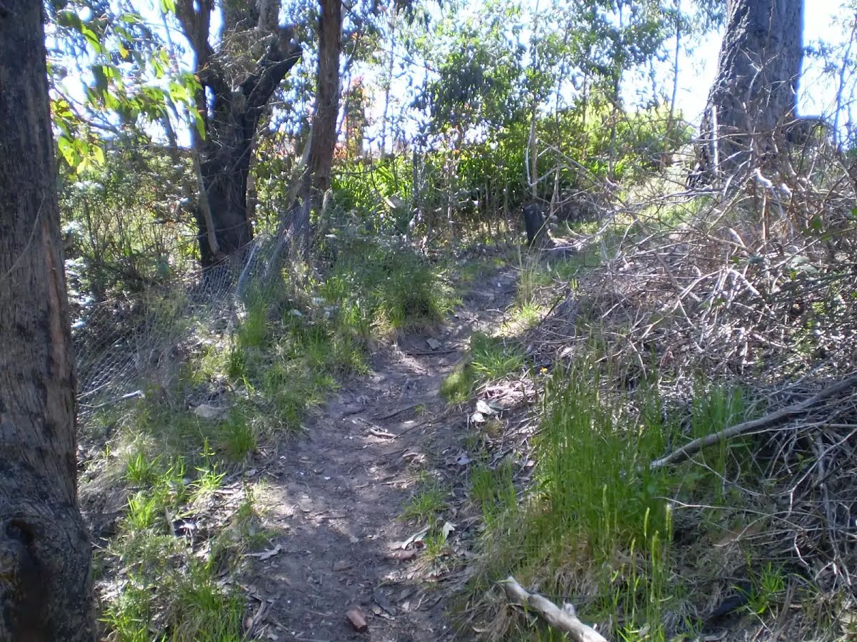
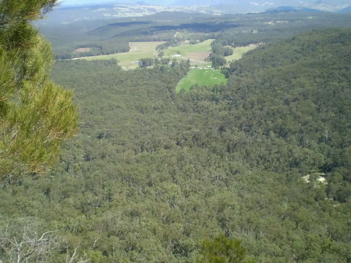
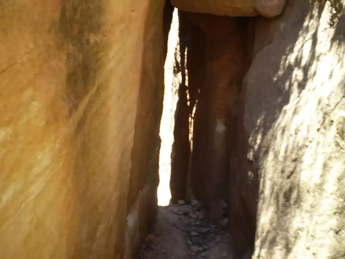
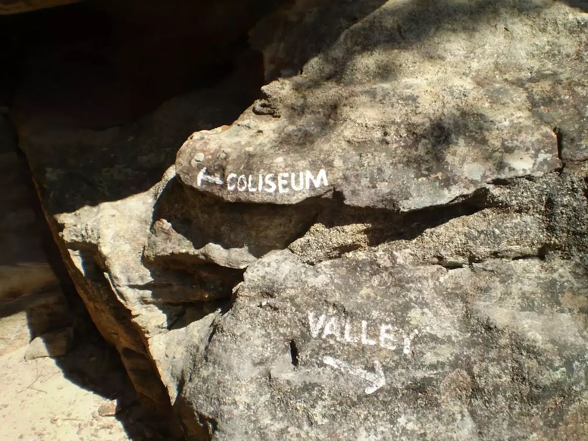
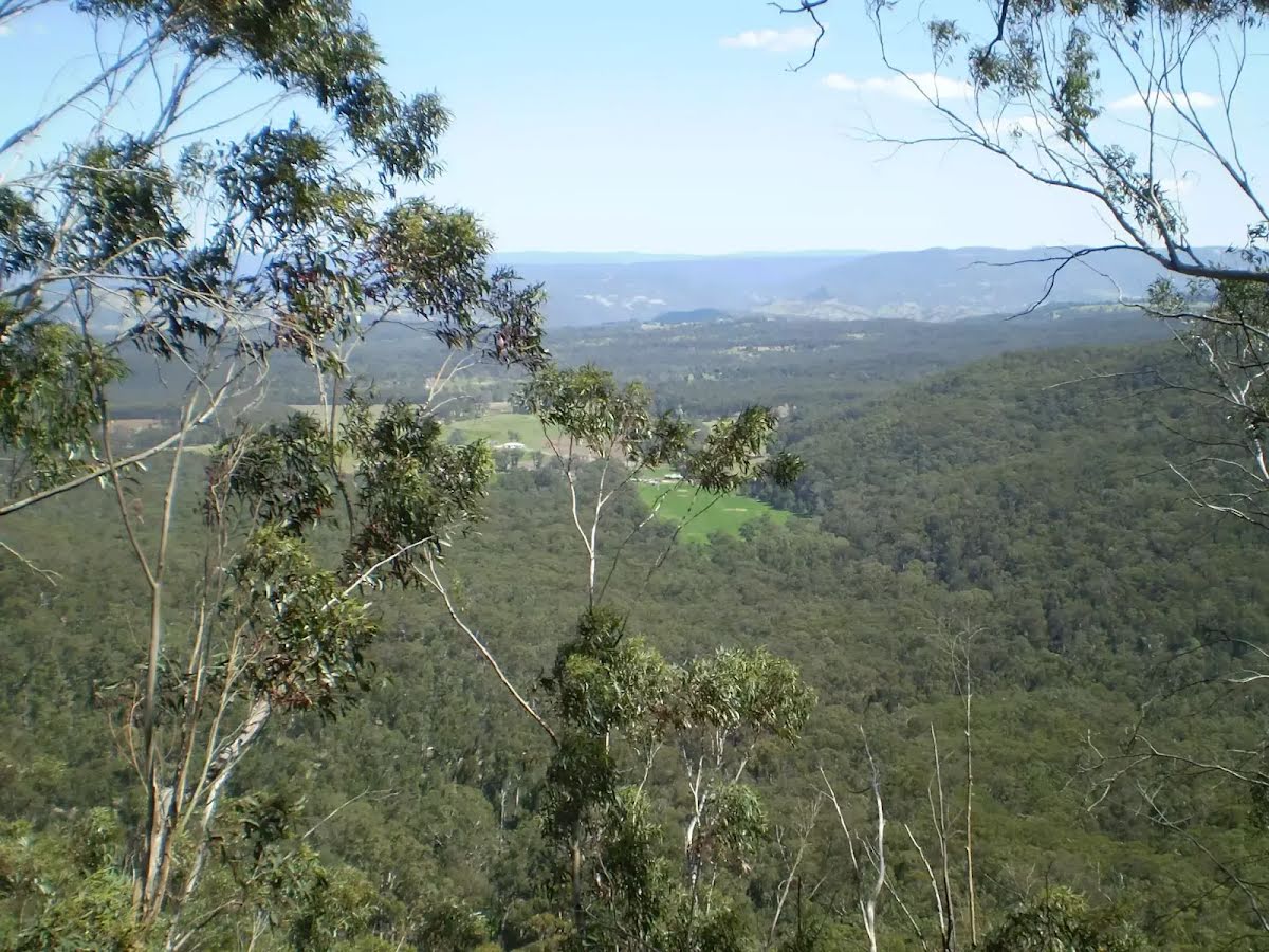
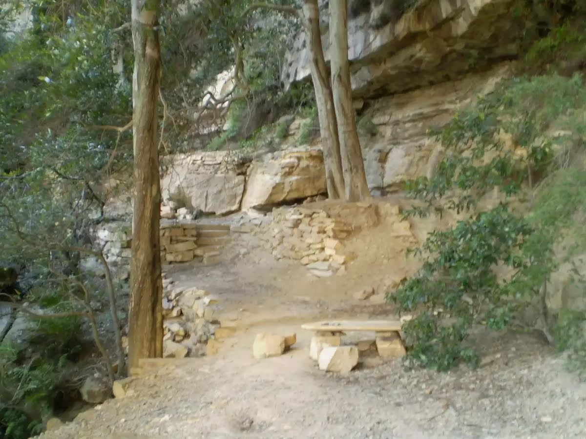
Along rough bushtracks this track goes from Medlow Bath Railway Station to the cliffs and then under their eaves to a large amphitheatre- The Colloseum. Great views of the Megalong Valley and a fantastic spot to break are the important features of this walk. Let us begin by acknowledging the Dharug & Gundungurra people, Traditional Custodians of the land on which we travel today, and pay our respects to their Elders past and present. 
Show all
Medlow Bath Railway Station. | Photo by admin, 2007.
Station St. | Photo by admin, 2007.
The track from the end of Belgravia Rd. | Photo by admin, 2007.
The Megalong. | Photo by admin, 2007.
The track goes down through several slits in the cliff. | Photo by admin, 2007.
Sign at Intersection of Colloseum and Megalong Valley Tracks. | Photo by admin, 2007.
A look at the valley. | Photo by admin, 2007.
The Colloseum. | Photo by admin, 2007.
The Colloseum Amphitheatre. | Photo by admin, 2007.
Downloads GPX PDF
+
-
Safer Bushwalks
Tips on staying safe on track
Before you start any bushwalk ensure you;
• Tell someone you trust where you are going and what to do if you are overdue
• Have adequate equipment, supplies, skills & knowledge for the whole journey
• Consider the impact of weather forecasts, park/track closures & fire dangers
• Can respond to emergencies & call for help at any point
• Are healthy and fit enough for this journey
If not, change plans and stay safe. It is okay to delay and ask people for help.
+
-
Getting There
Transport options and directions
Start (-33.6736653,150.2807361)
Mode Bus Car (There is free parking available.) Train
+
-
Track Notes
Turn by turn instructions & maps
Getting started
From Meadlow Bath Train Station, this walk crosses the Great Western Hwy to the west onto Station Rd heading North-West. The walk follows the road for approximately 150m before coming to the corner of Begravia Rd.....
Turn map Directions & comments
Start.
There is a car park (about 55 m back from the start).
After another 195 m pass the "Synonymous" (45 m on your right).
Continue straight.
Then head up the steps (about 15 m long)
Turn right.
Then cross the bridge (about 15 m long)
After another 110 m turn right, to head along Station Street.
After another 80 m (at the intersection of Station Street & Belgravia Street) turn left, to head along Belgravia Street.
After another 100 m (at the intersection of Kanimbla Street & Belgravia Street) continue straight, to head along Belgravia Street.
After another 90 m continue straight, to head along Belgravia Street.
After another 7 m turn right.
After another 210 m turn left.
After another 45 m continue straight.
After another 40 m turn right, to head along Sunbath Track.
After another 60 m continue straight.
After another 60 m turn left.
After another 110 m come to the viewpoint (30 m on your left).
Then come to the "Tuckers Lookout" (25 m on your right).
After another 60 m (at the intersection of Valley Farm Track & Coliseum Track) veer left, to head along Coliseum Track.
Continue another 550 m to find the end. Then turn around here and retrace the main route for 1.6 km to get back to the start.
+
-
Terrain
Know the Hills, grading & facilities

Medlow Bath to the Collosseum


Grading
Class 4/6
Hard track
Length 3.2 km
Time 2 h to 2 h 15 min
Quality of track Formed track, with some branches and other obstacles (3/6)
Gradient Very steep (4/6)
Signage Directional signs along the way (3/6)
Infrastructure Limited facilities, not all cliffs are fenced (3/6)
Experience Required Some bushwalking experience recommended (3/6)
Weather Storms may impact on navigation and safety (3/6)
+
-
Articles
Discover more details to thrive on track
Get more information
Wildwalks
+
-
Reviews & Feedback
Share your experience
+
-
Weather & Alerts
Check forecasts & closures
Show Full Weather
Alerts and Closures
Show all alerts
Show all alerts
Show all alerts
+
-
Other Journeys
Discover nearby and similar journeys
Some of the information and maps on this page was generated using data from the awesome © OpenStreetMap contributors.
Please see how you can embed some widgets, access data and other stuff to that might be helpful.