


| Start | From the Larapinta Trail Section 7 (near the Ellery Creek Big Hole - West MacDonnell NP camp_site) (-23.7798449,133.0726859) |
| Mode | Car |
| Directions | From , Alice Springs. |
| Turn map | Directions & comments |
|---|---|
 |
|
 |
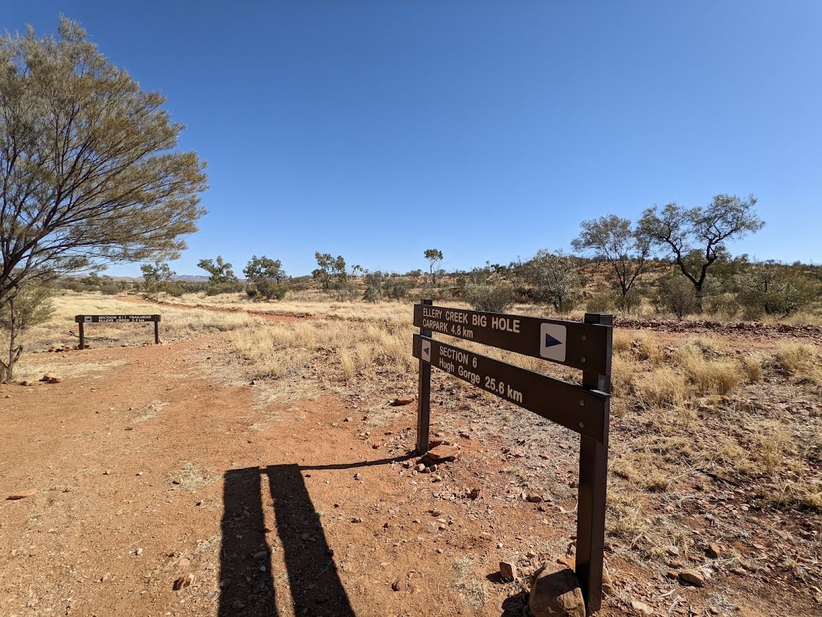
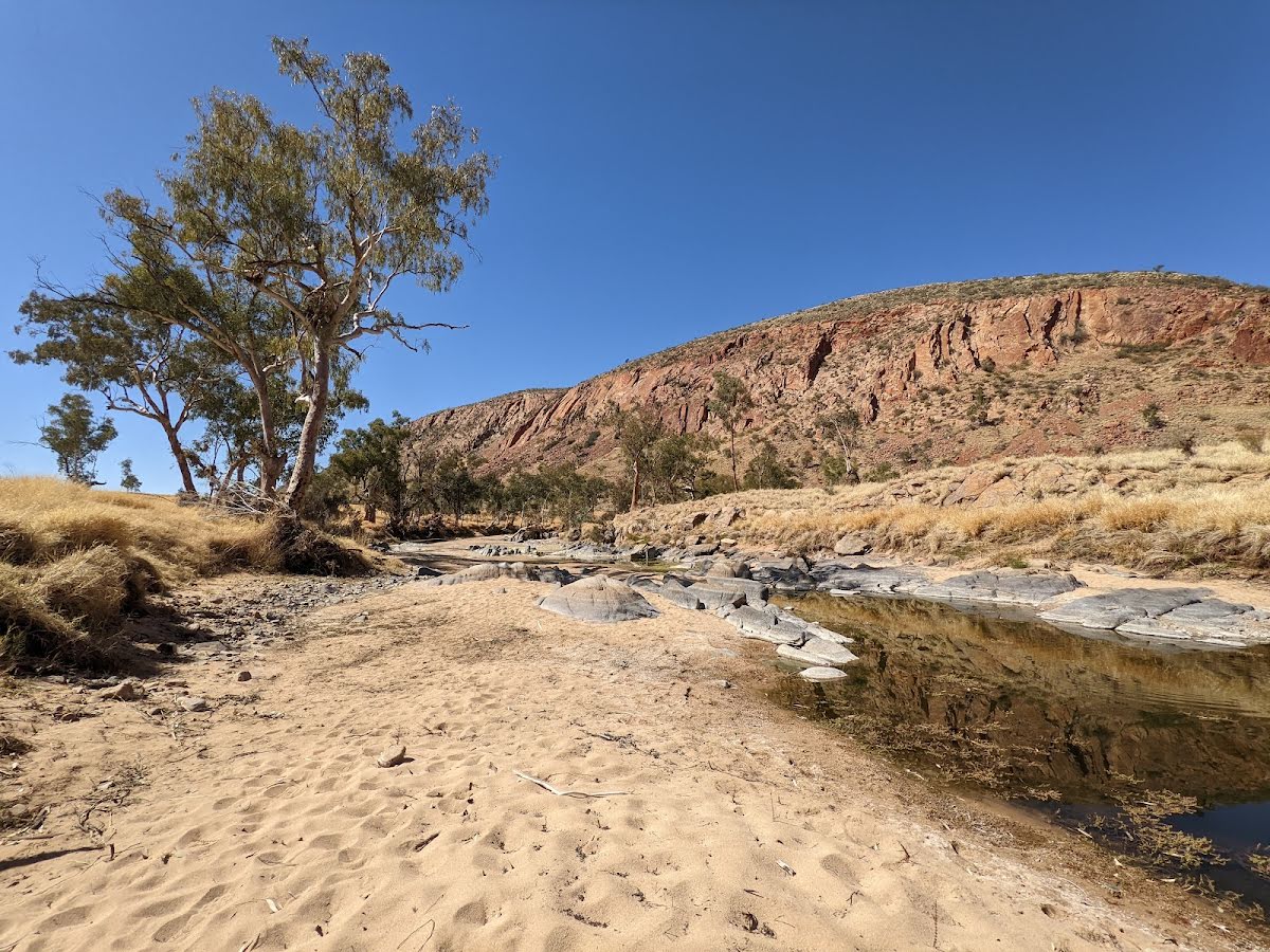
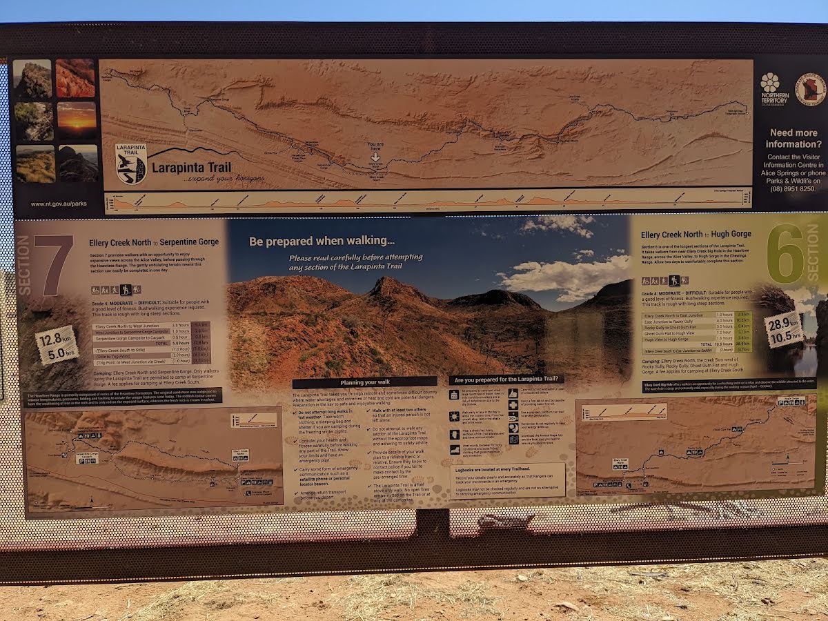
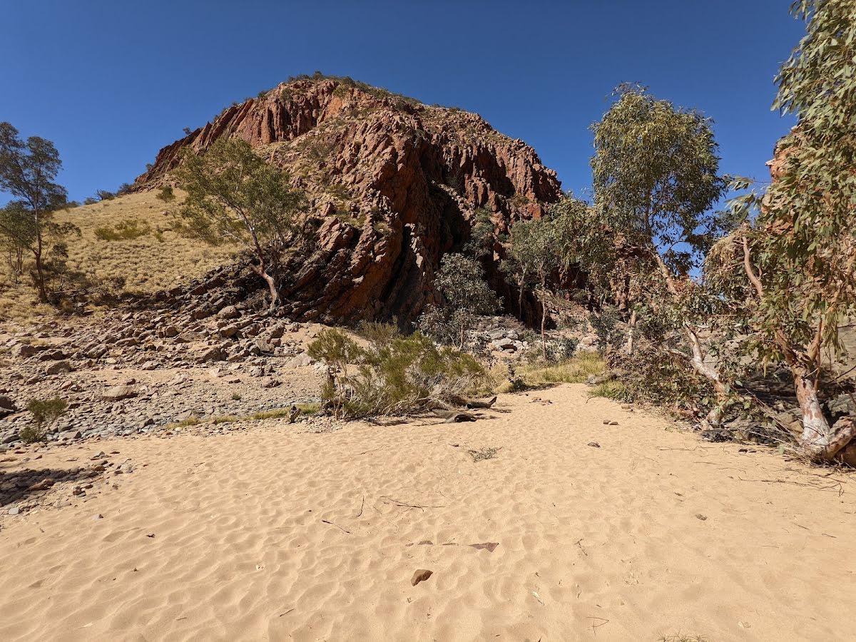
The starting point of an optional sidetrip. This little side trip takes you to the Big Hole along Ellery Creek. This ancient waterhole is an exceptional spot to take a break and cool off. To start this optional side trip turn left here. On returning from this side trip turn left when you get back to this intersection. Details below.
|
 |
|
 |
|
 |
|
 |
|
 |
|
 |
|
 |
|
 |
|
 |
|
 |
|
 |
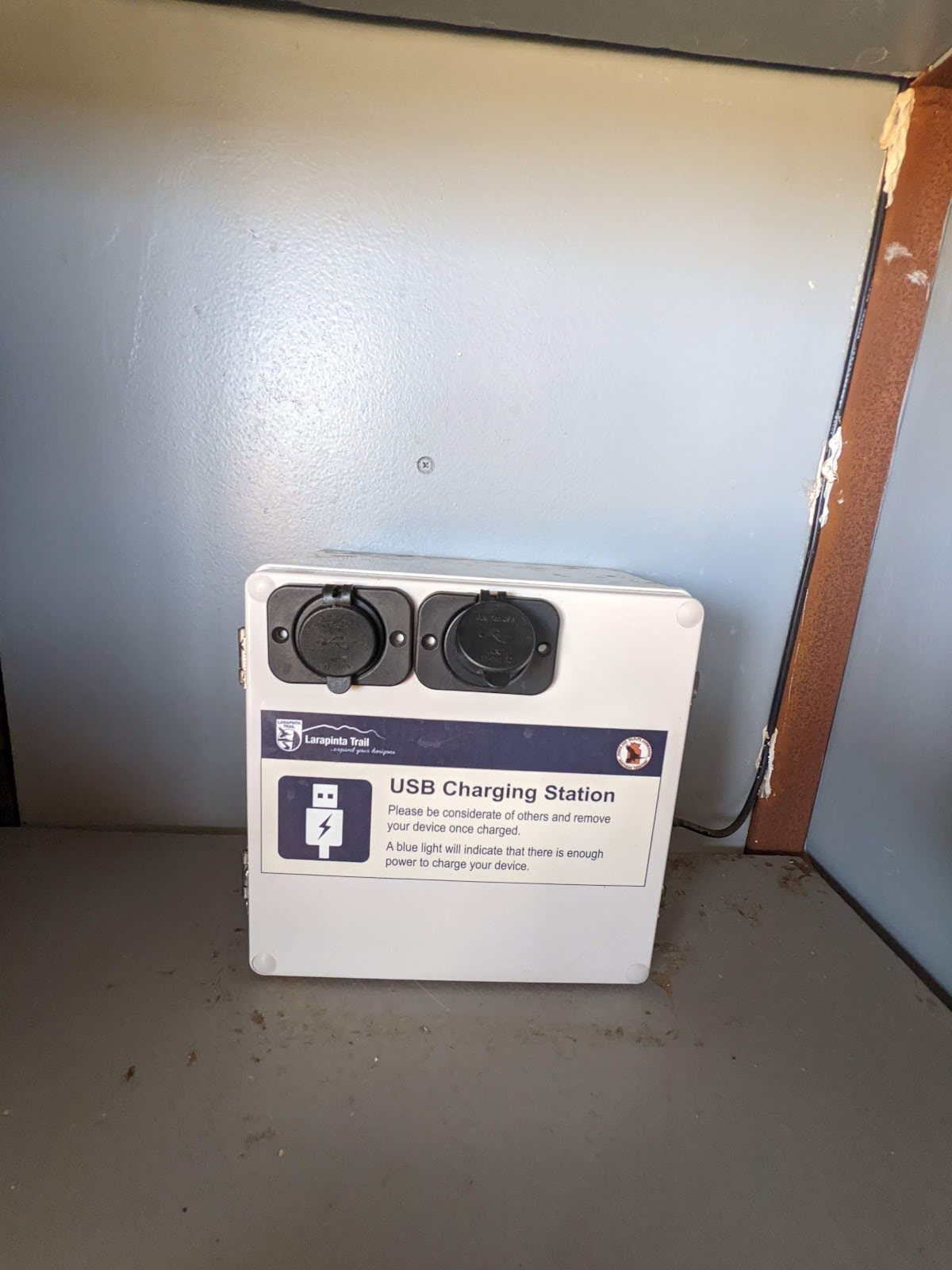
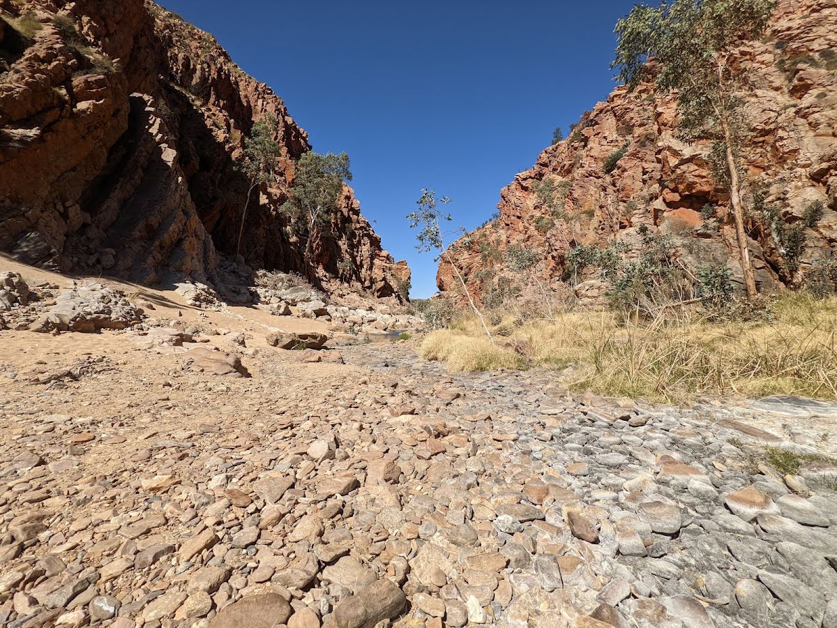
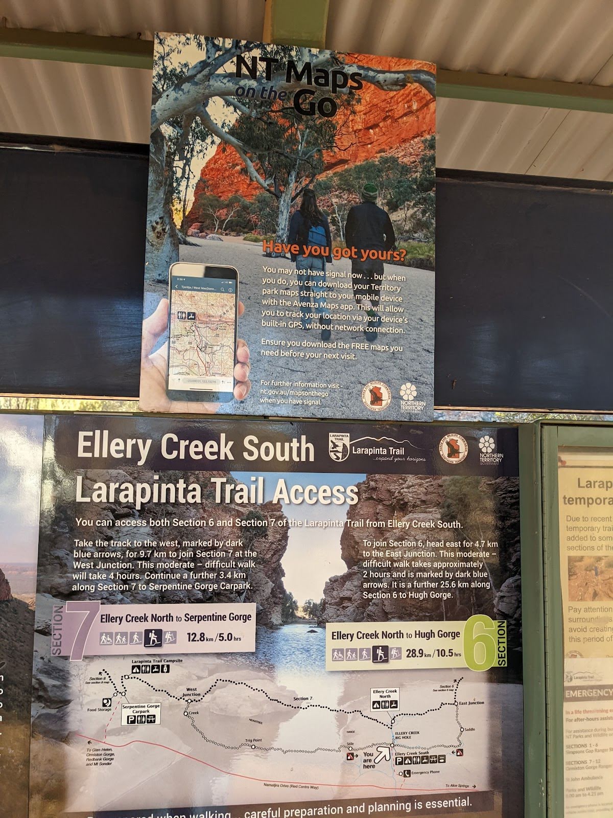
The starting point of an optional sidetrip. Take this side trip if you want to camp at Serpentine Gorge Campsite. Toilets, water and USB charging are available. To start this optional side trip turn right here. On returning from this side trip turn left when you get back to this intersection. Details below.
|
 |
|
 |
|
 |
|
 |
|
 |
| Turn map | Directions & comments |
|---|---|
 |
|
 |
|
 |
|
 |
| Turn map | Directions & comments |
|---|---|
 |
|
 |
|
 |

|
|
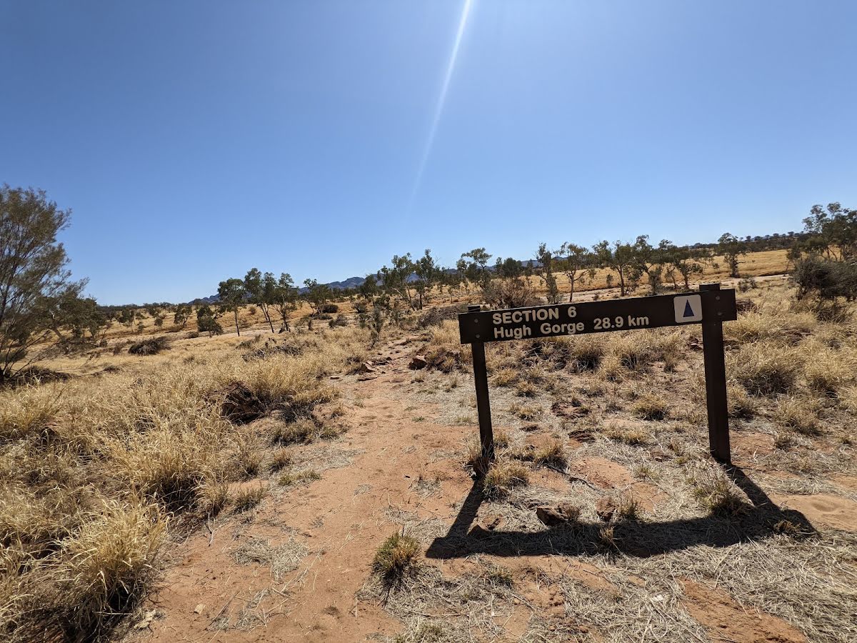
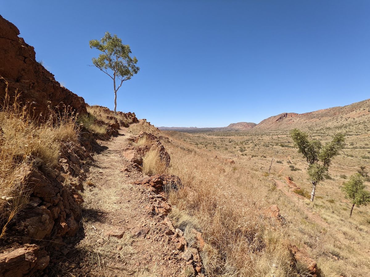
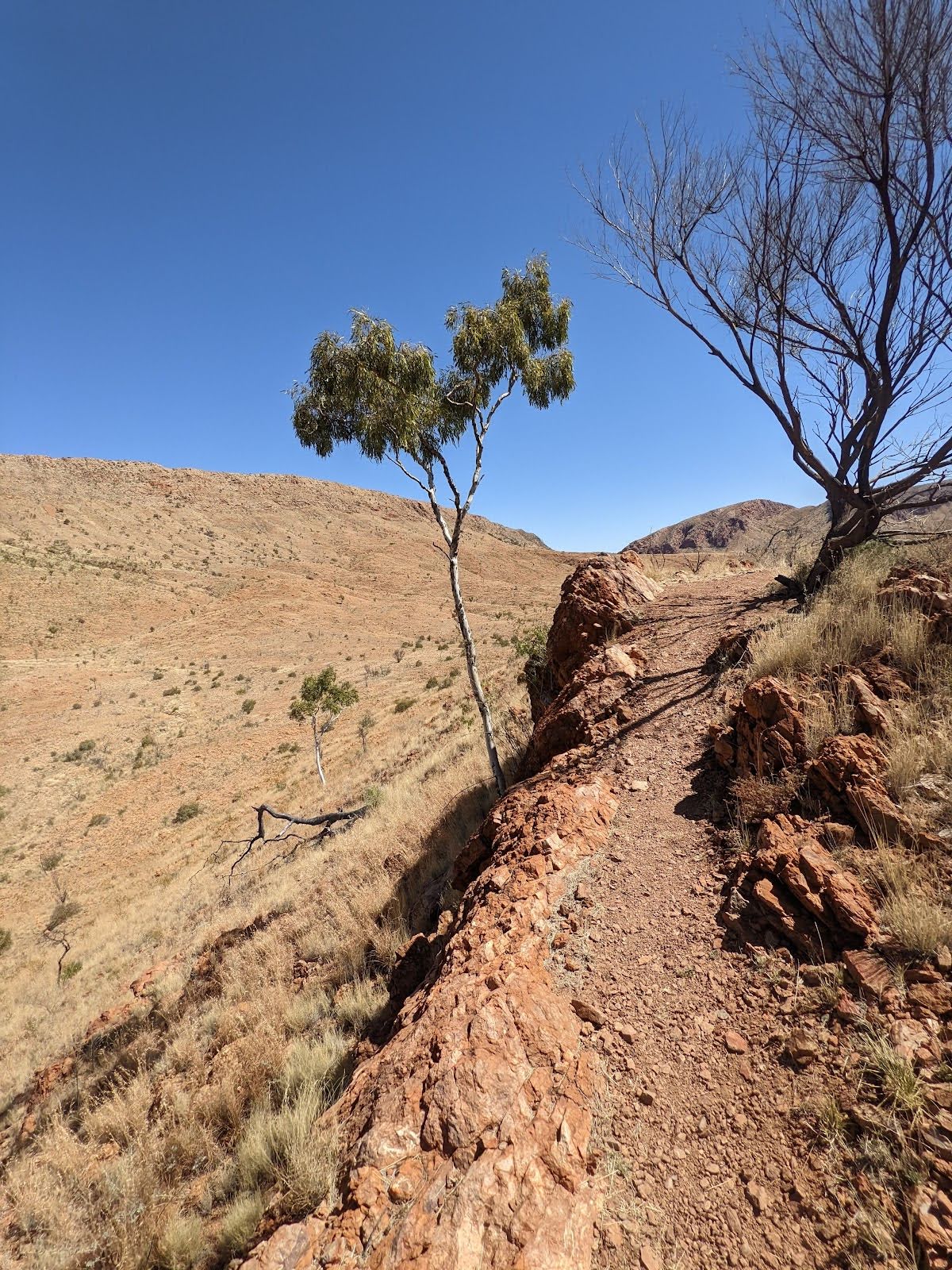
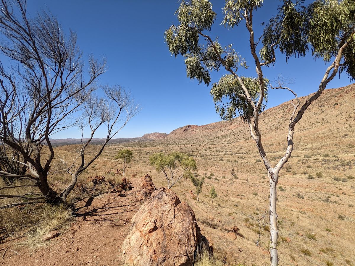
Class 4/6 Hard track |
|---|---|
| Length | 27.9 km |
| Time | 12 h, 2 days to 3 days |
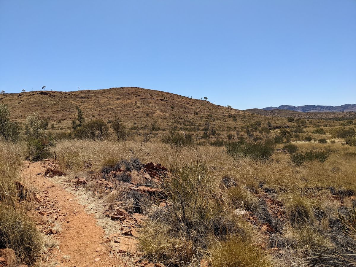
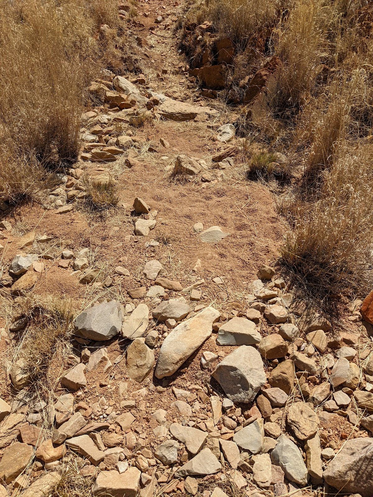
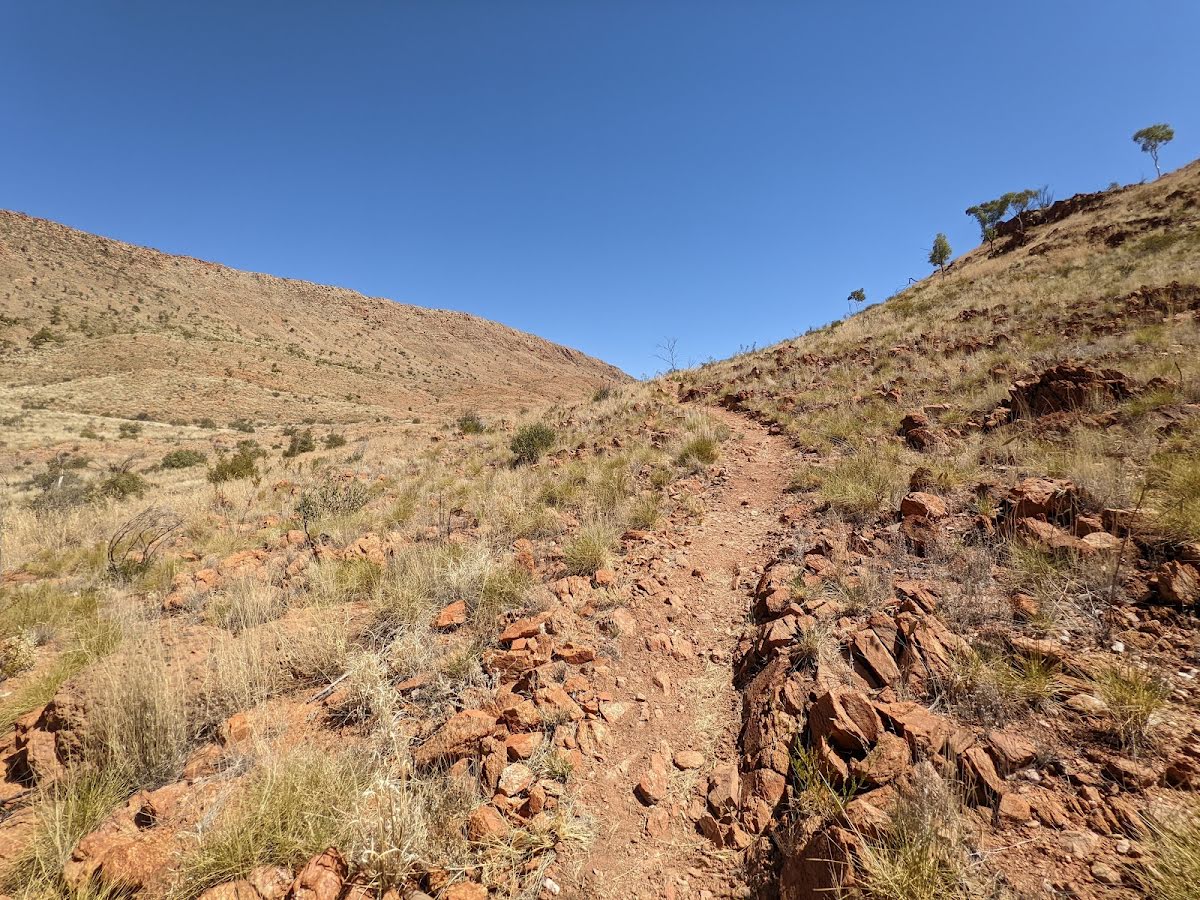
| Quality of track | Rough track, where fallen trees and other obstacles are likely (4/6) |
| Gradient | Very steep (4/6) |
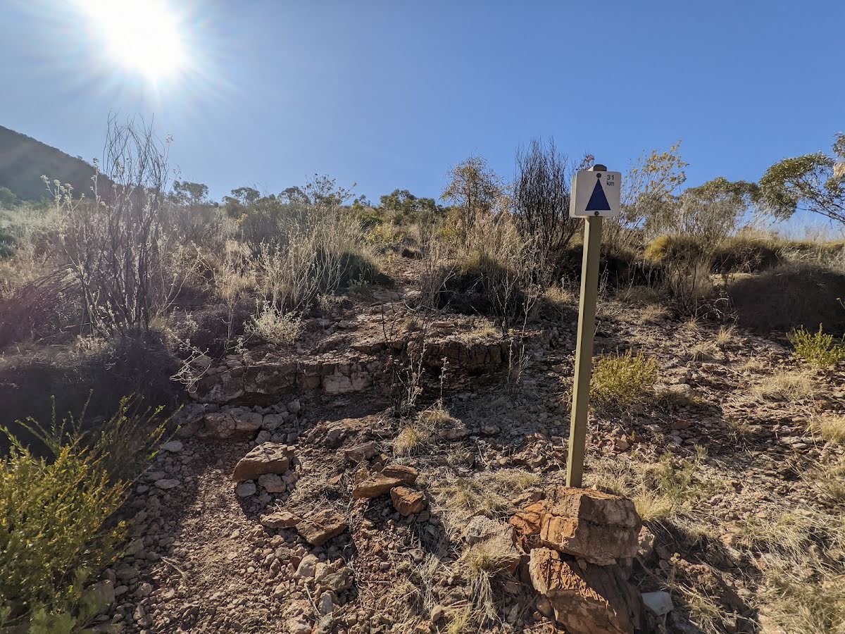
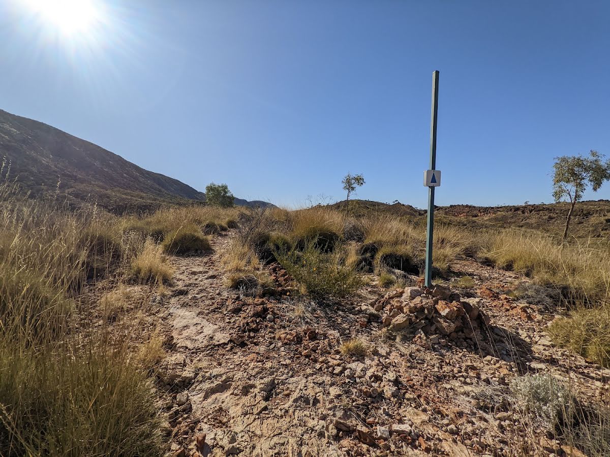
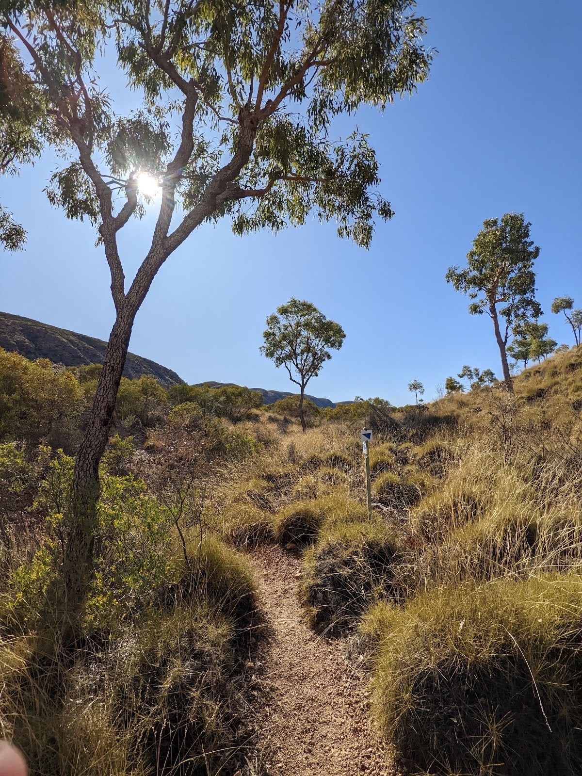
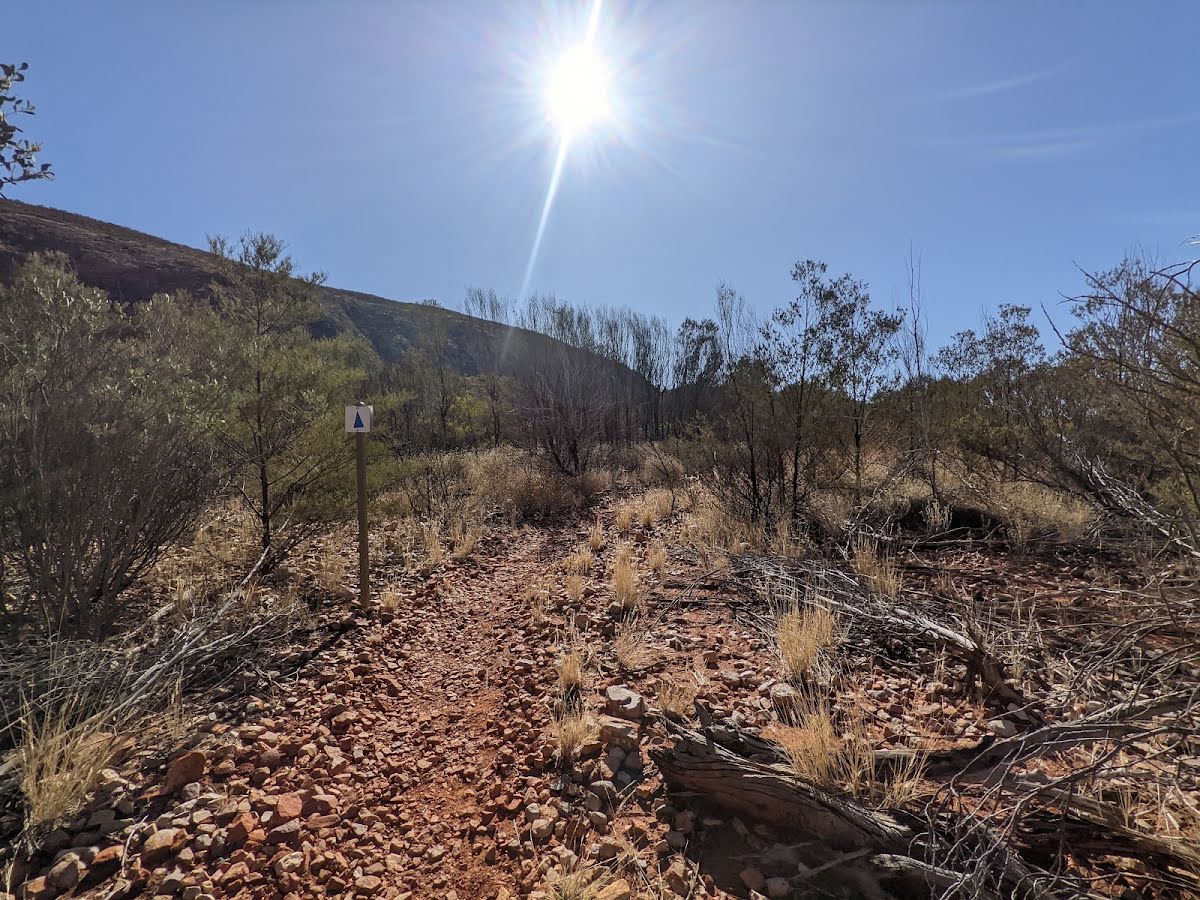
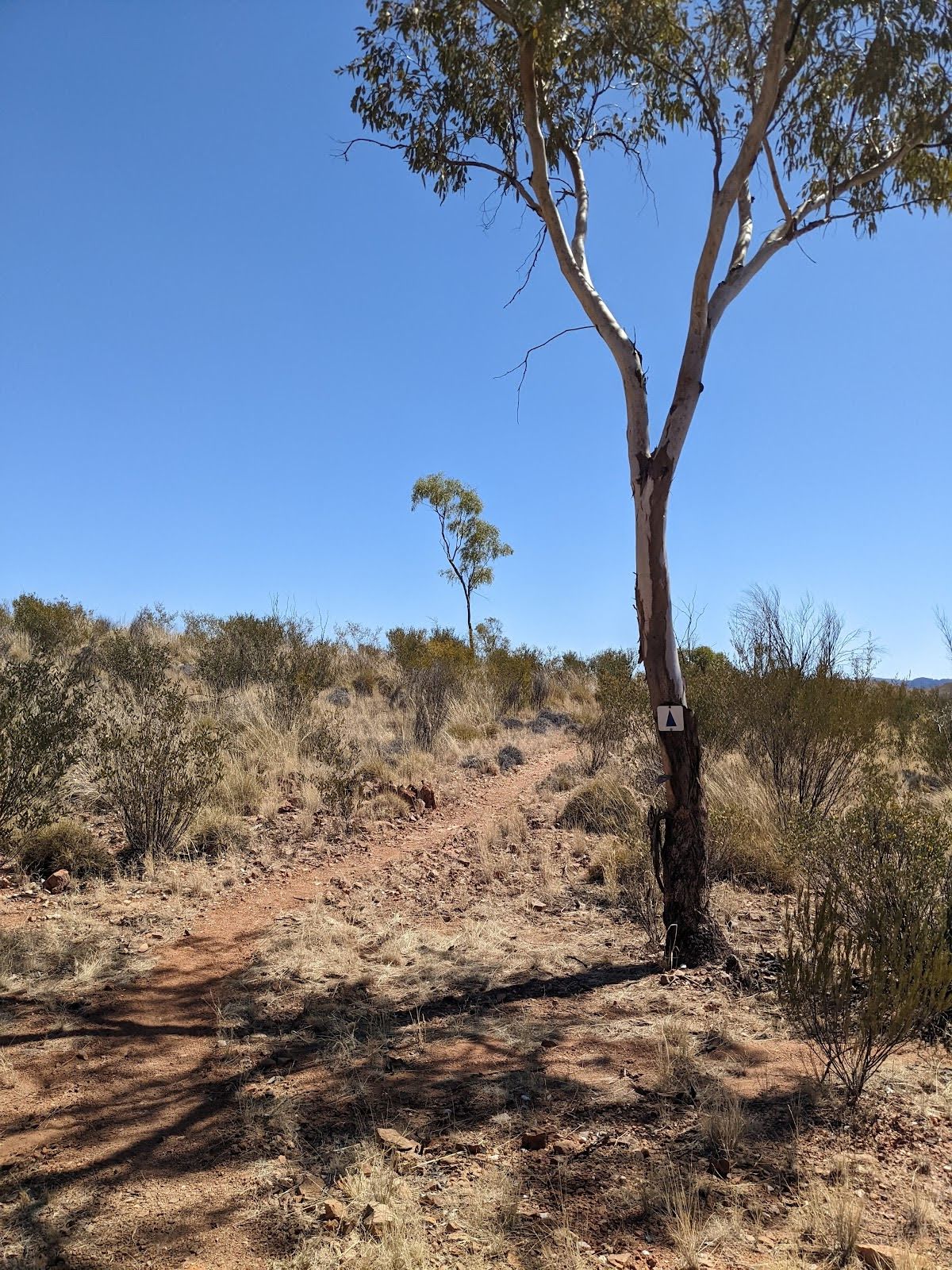
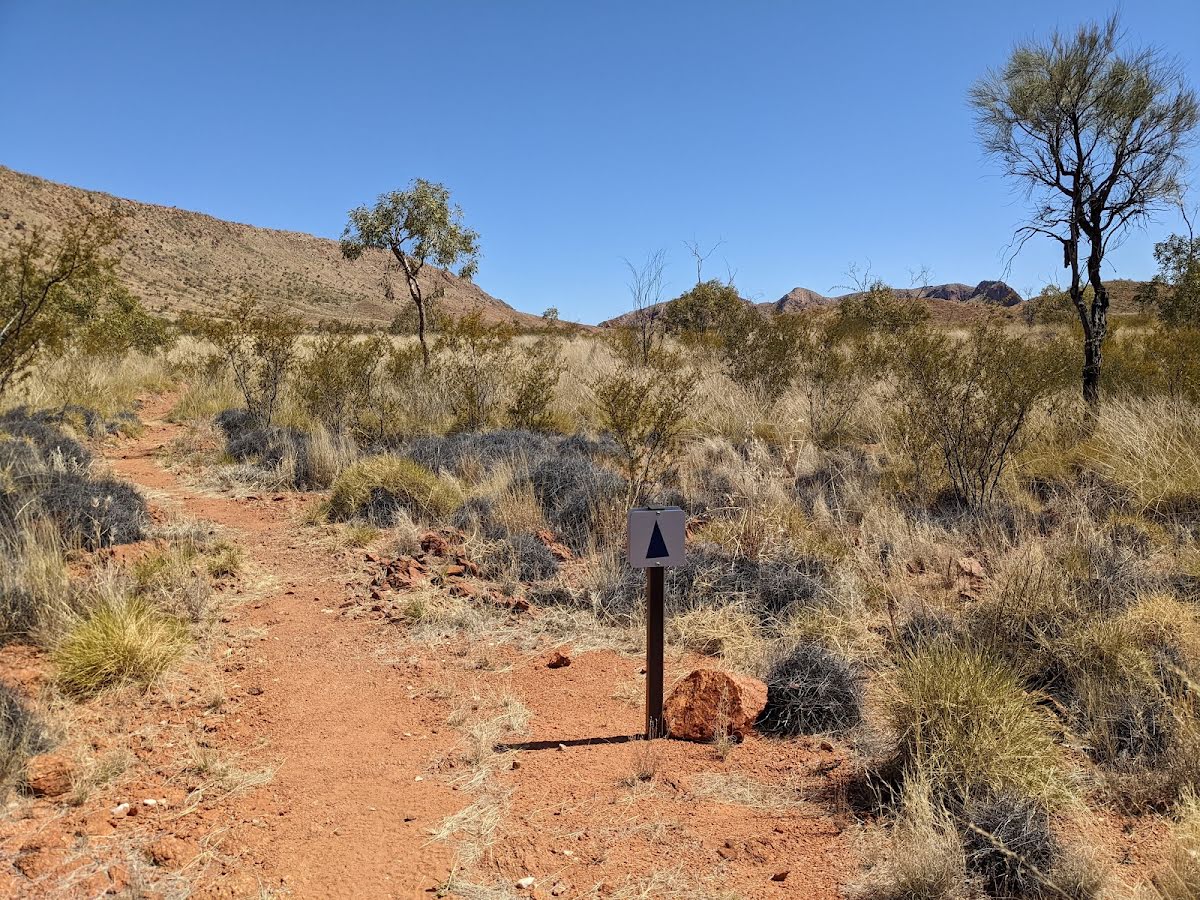
| Signage | Directional signs along the way (3/6) |
| Infrastructure | Limited facilities, not all cliffs are fenced (3/6) |
| Experience Required | Moderate level of bushwalking experience recommended (4/6) |
| Weather | Weather generally has little impact on safety (2/6) |
| Item | From Start | Name & link to notes |
|---|---|---|
Camp site
| -33 m | Ellery Creek Big Hole - West MacDonnell NP |
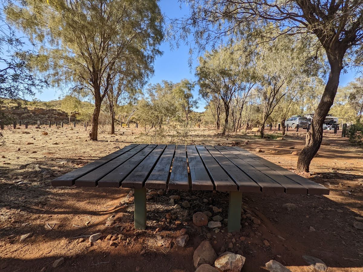
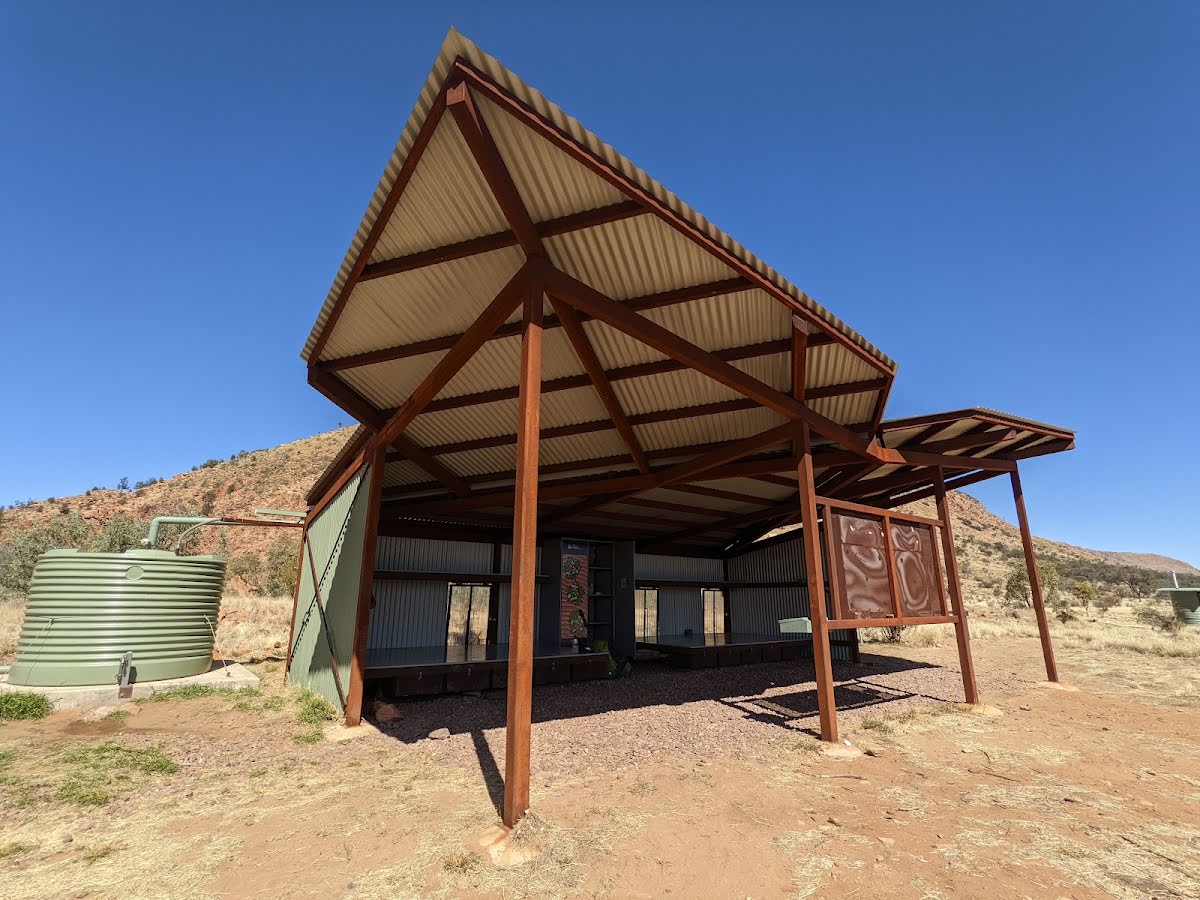
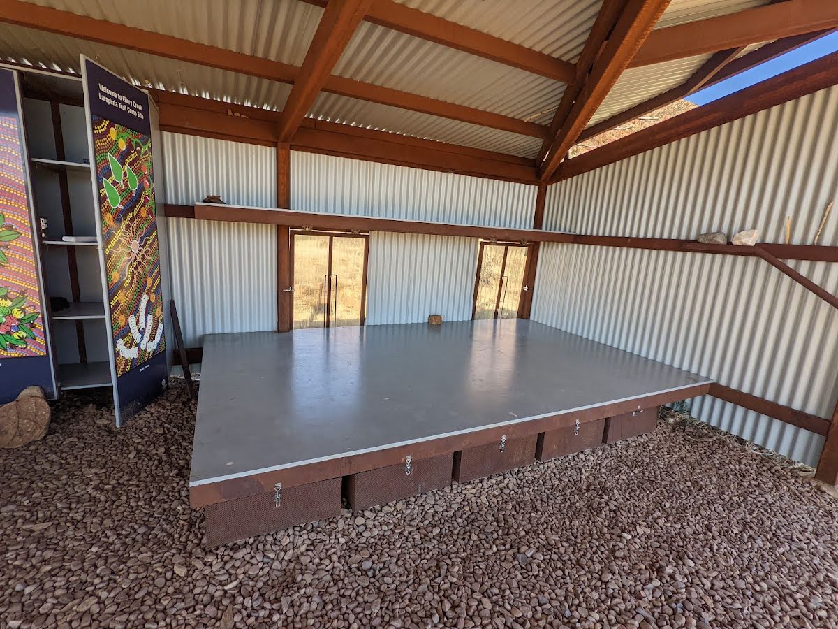
Shelter
| 15 m + 75 m | Picnic Shelter |
Shelter
| 15 m + 110 m | [shelter] |
Shelter
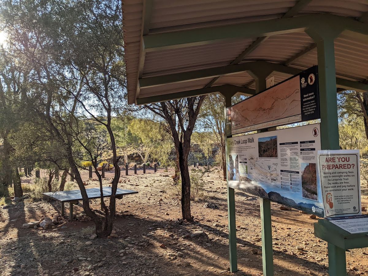
| 7.9 km | Ellery Creek North - Larapinta Trailhead Shelter (6/7) |
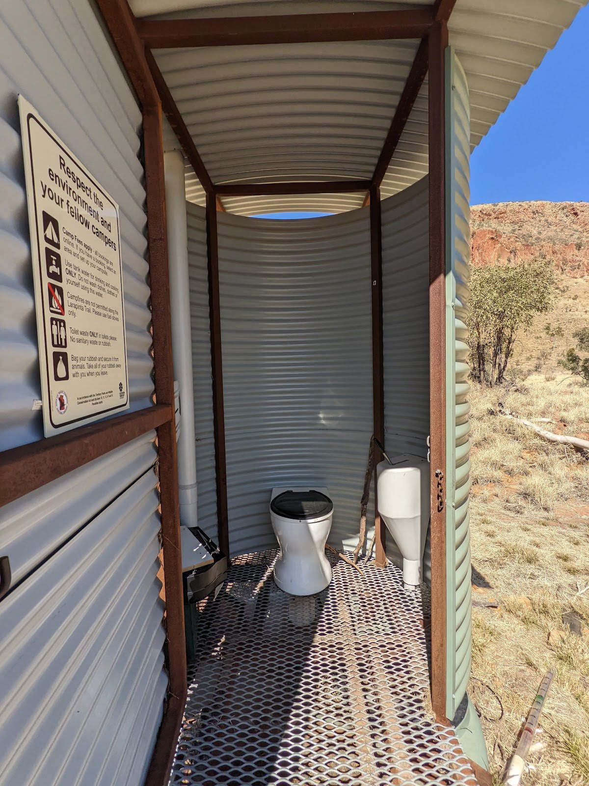
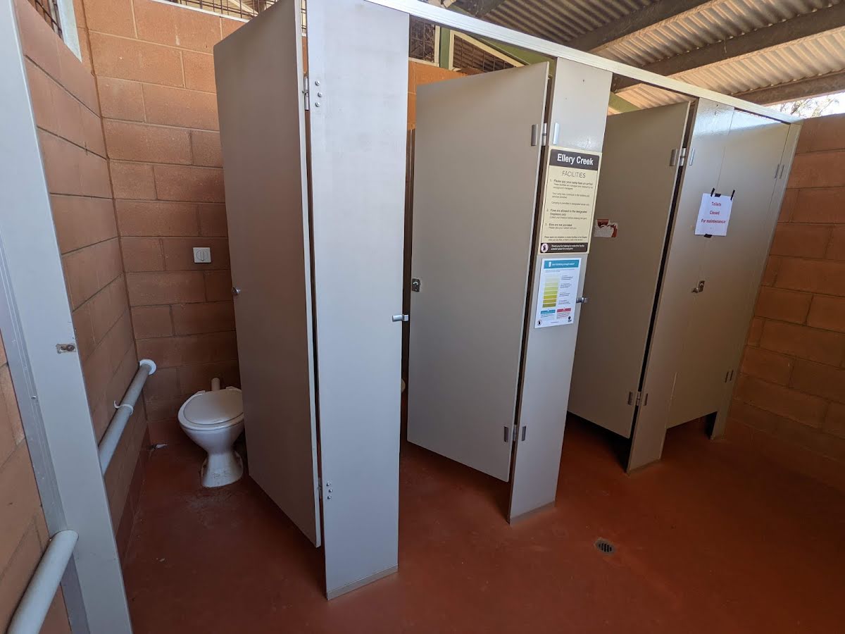
Toilet
| 7.9 km | [toilet] |
Camp site
| 18.1 km + 2.6 km | [camp site] |
Shelter
| 18.1 km + 2.6 km | [shelter] |
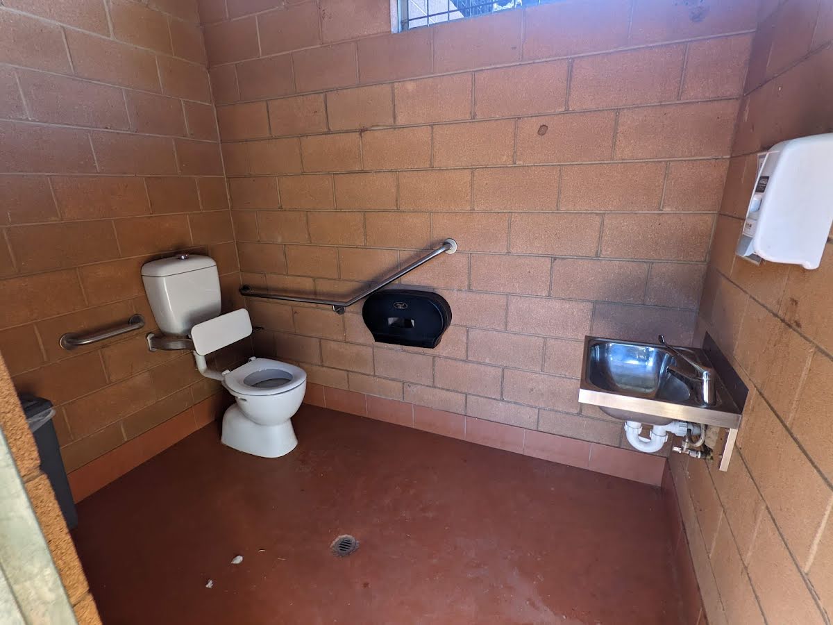
Toilet
| 18.1 km + 2.6 km | [toilet] |
Toilet
| 27.9 km | [toilet] |
Shelter
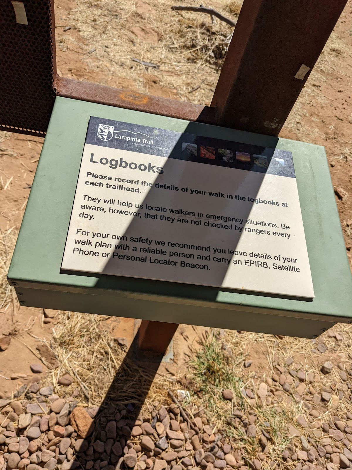
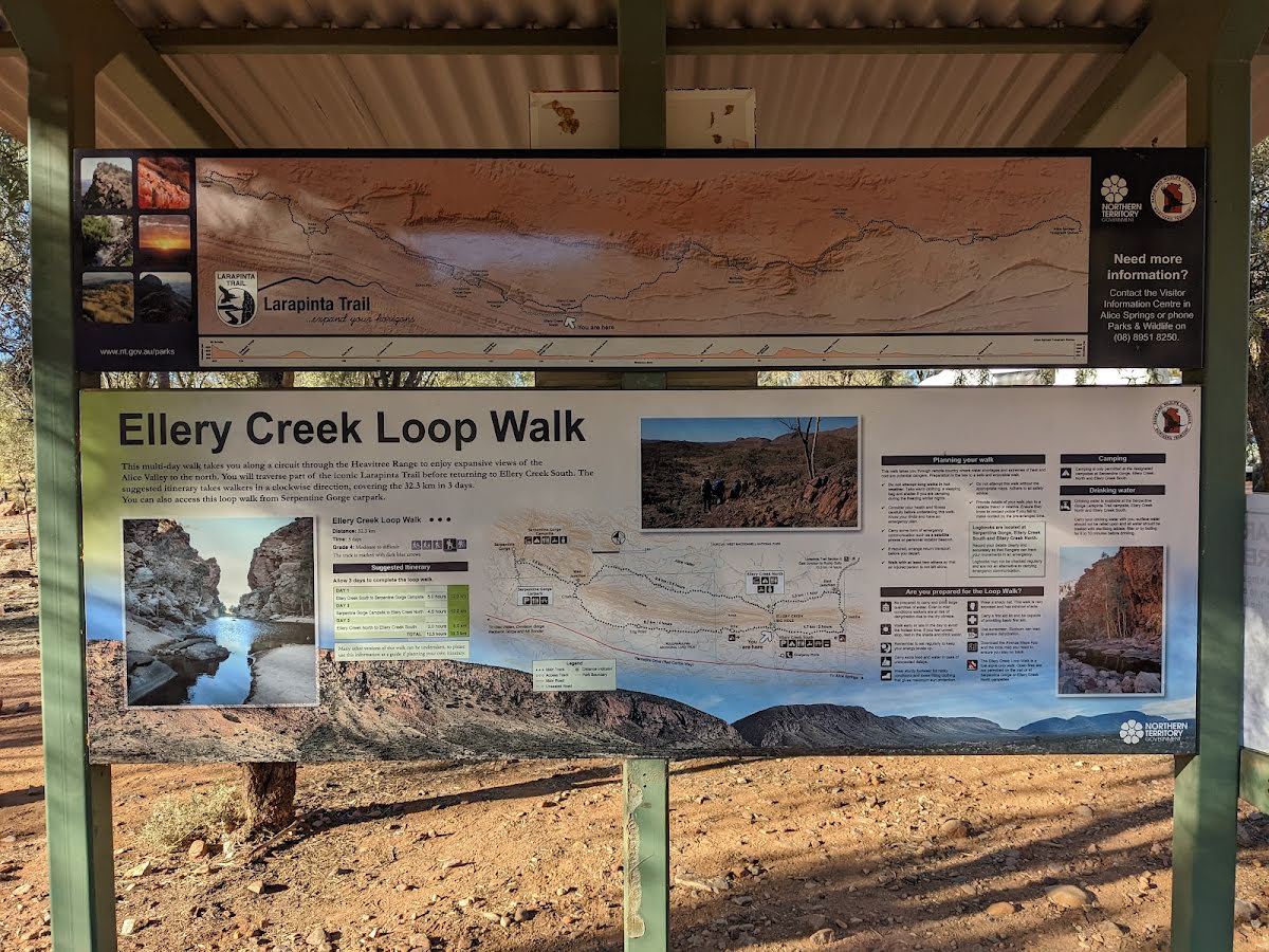
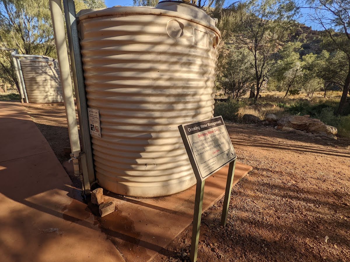
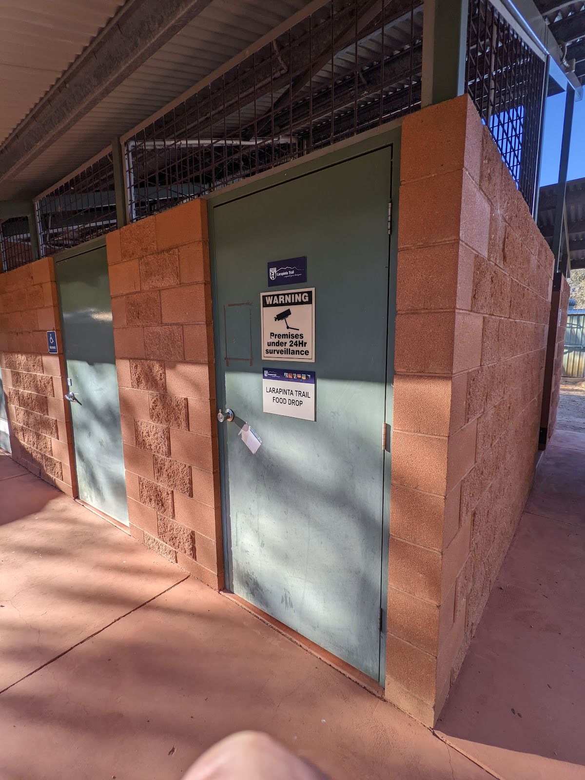
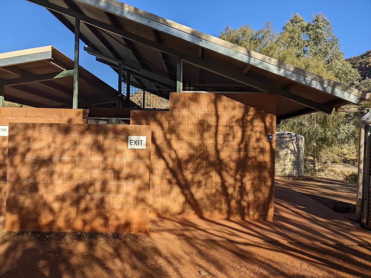
| 27.9 km | Larapinta Trail Information |