
| Start | (-13.2027182,130.7138493) |
| Mode | Car |
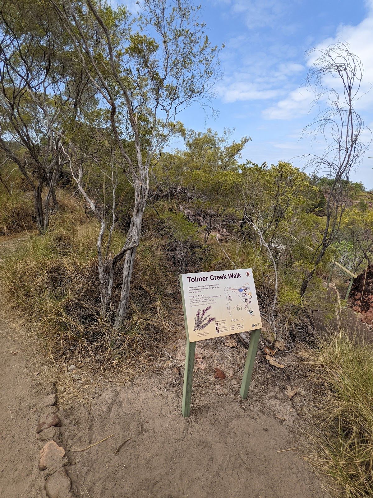
| Directions | From Stuart Highway, Albany Park.
|
| Turn map | Directions & comments |
|---|---|
 |
|
 |
|
 |
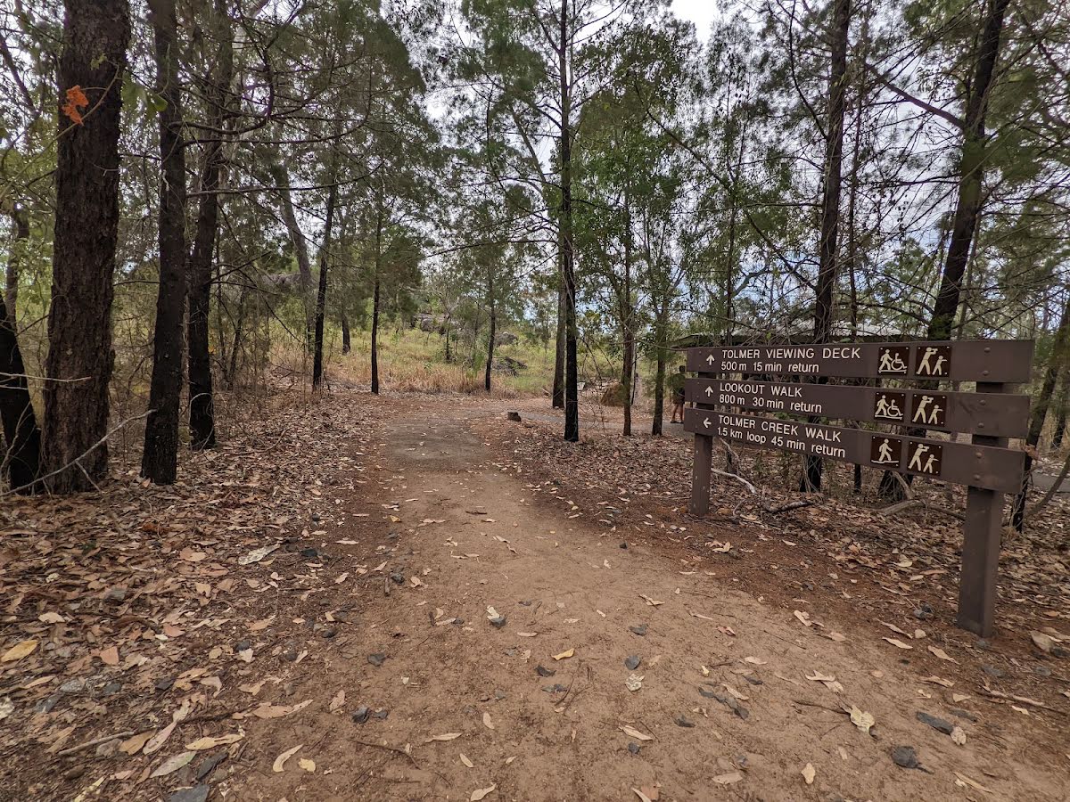
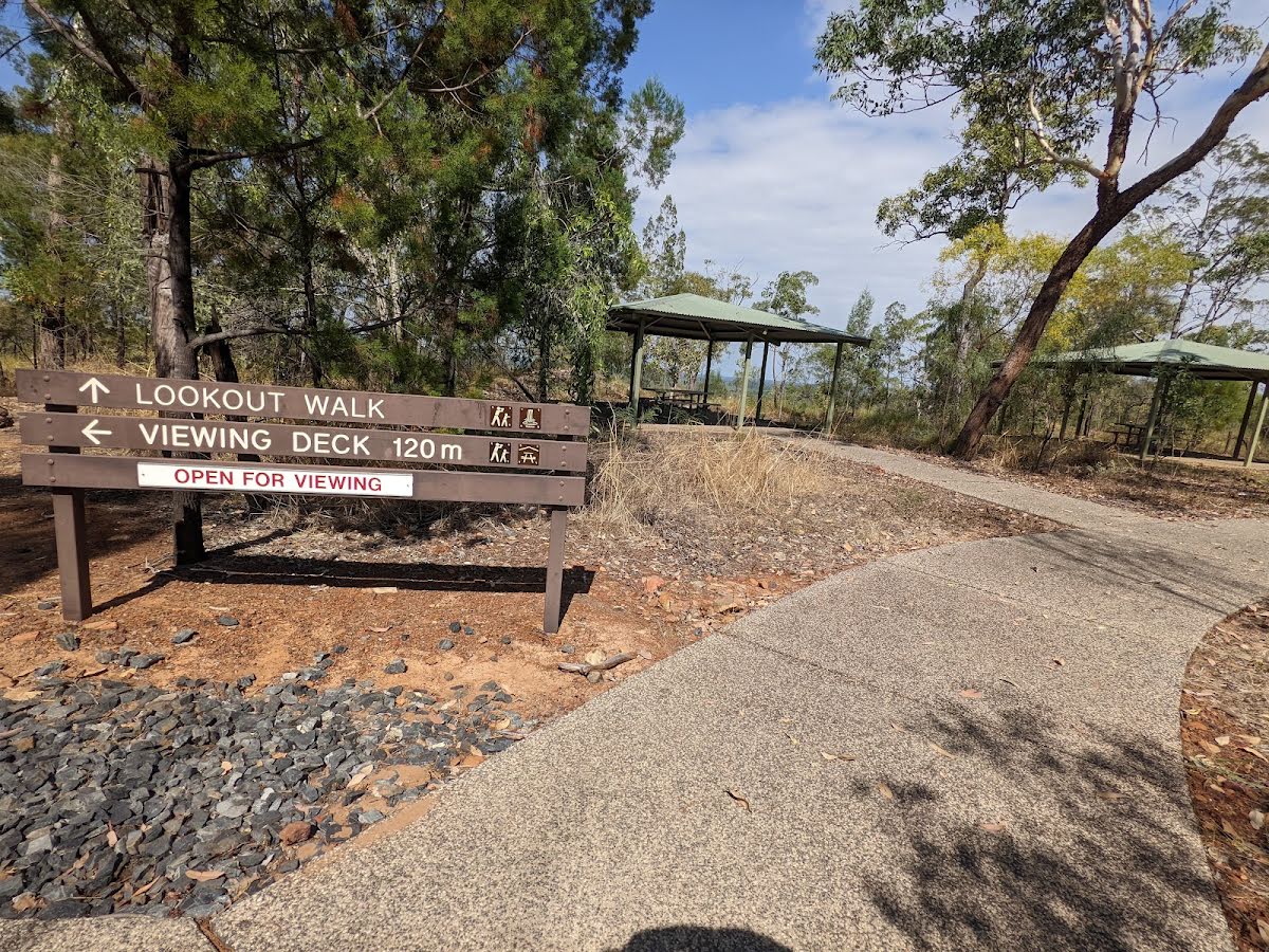
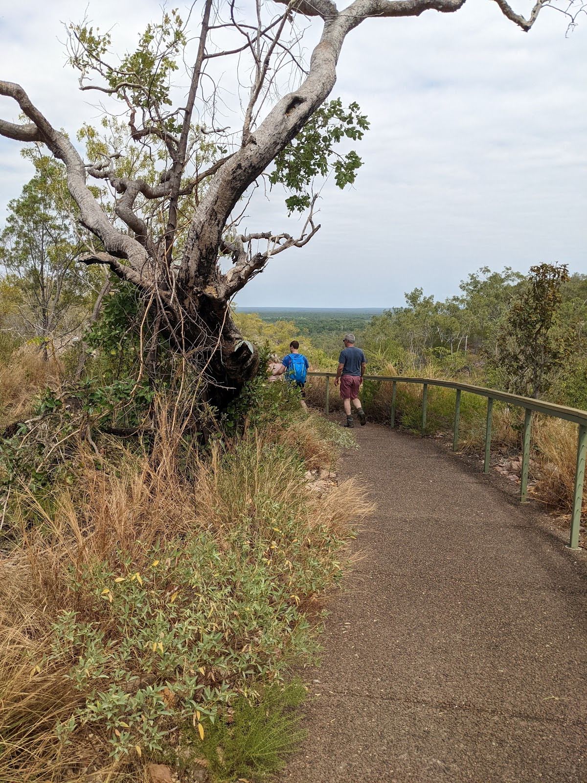
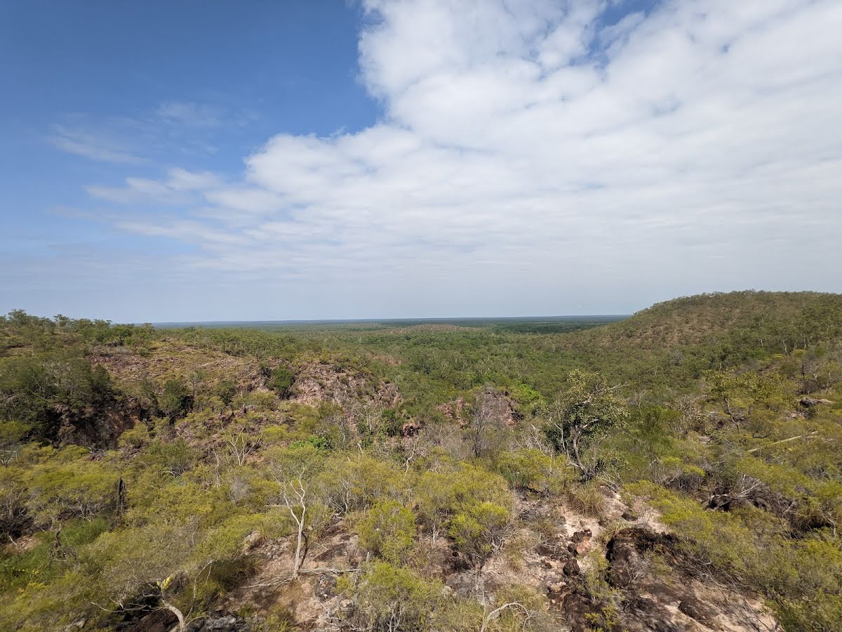
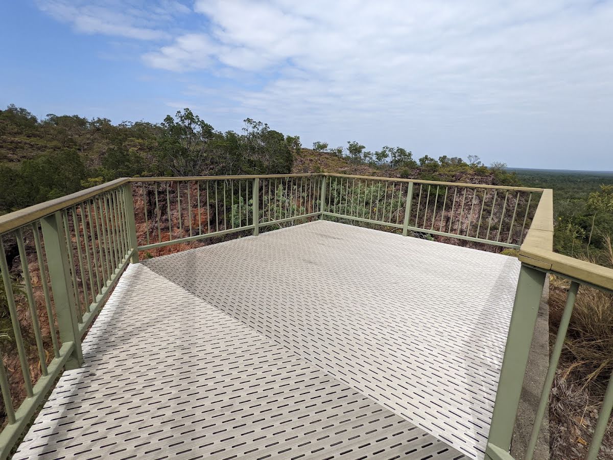
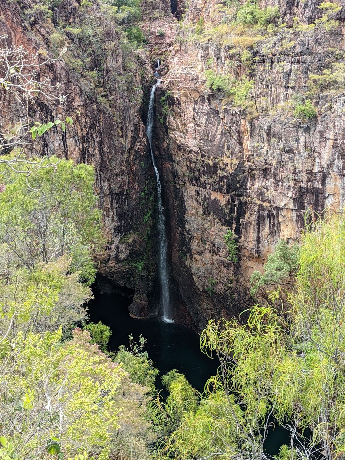
The starting point of an optional sidetrip. This little side trip takes you to the upper lookout where you can get panoramic southerly views as mentioned in the description. To start this optional side trip veer left here. On returning from this side trip turn left when you get back to this intersection. Details below.
|
 |
|
 |
| Turn map | Directions & comments |
|---|---|
 |
|
 |

|
|
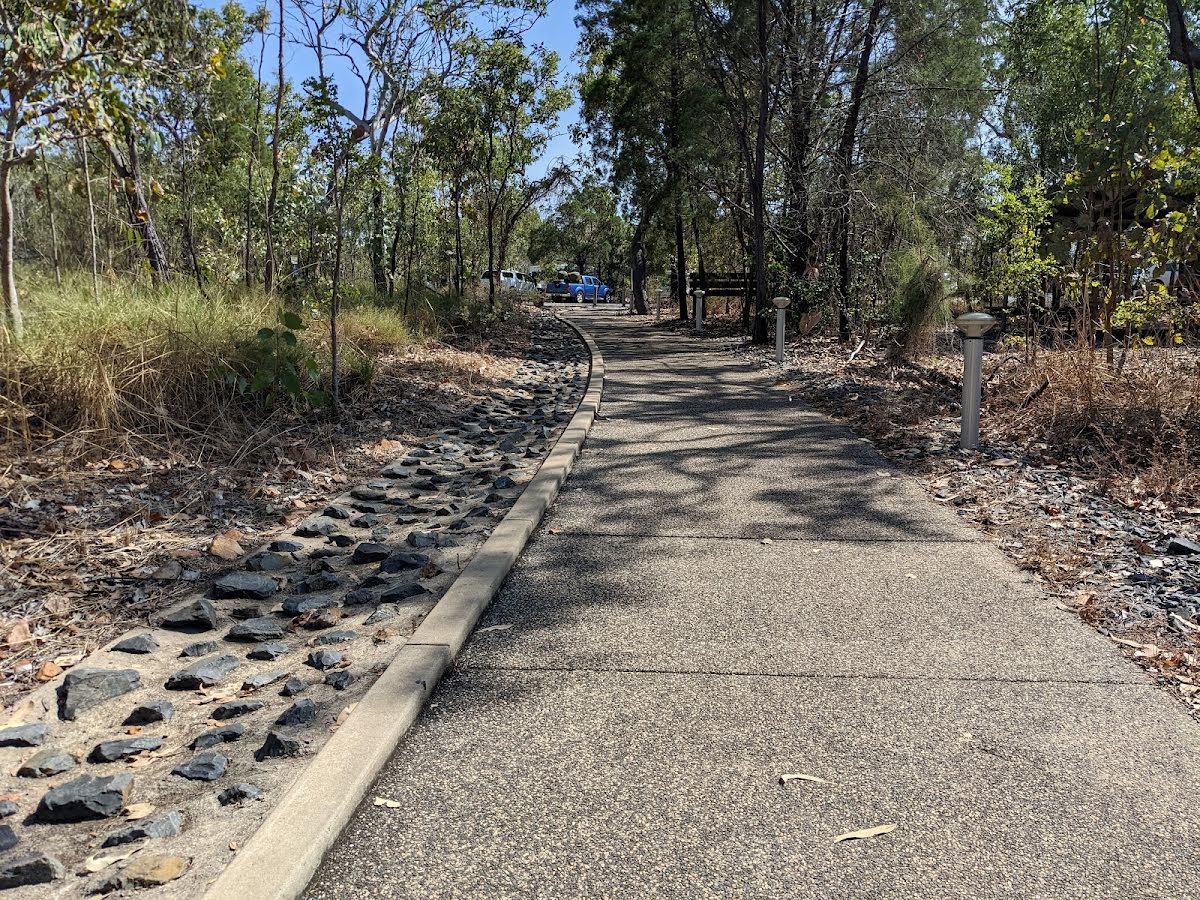
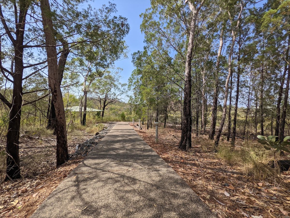
Class 1/6 Smooth & flat |
|---|---|
| Length | 850 m |
| Time | 20 min to 30 min |
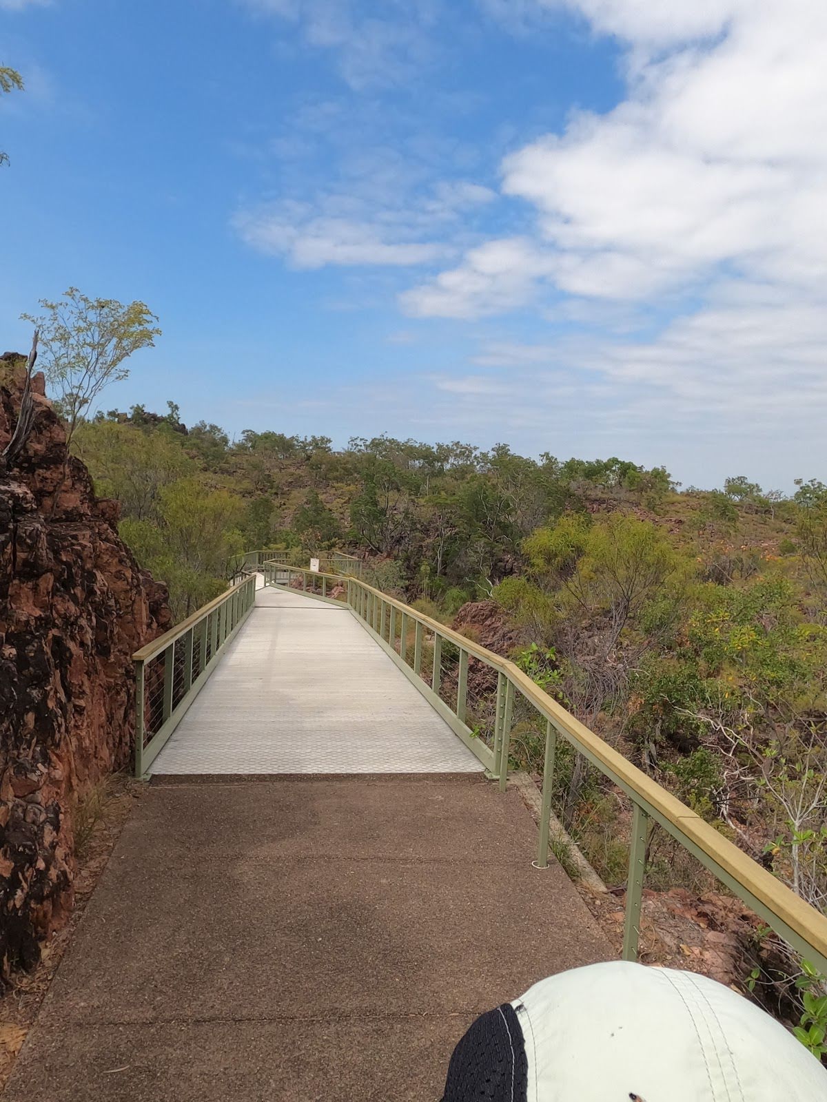
| Quality of track | Smooth and hardened path (1/6) |
| Gradient | Flat, no steps (1/6) |
| Signage | Clearly signposted (1/6) |
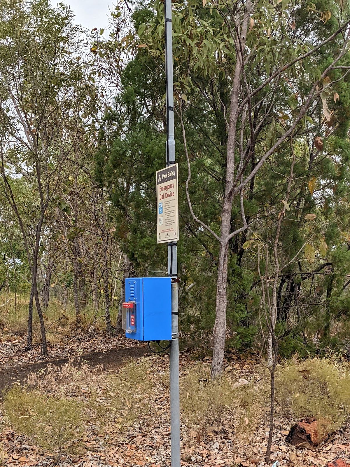
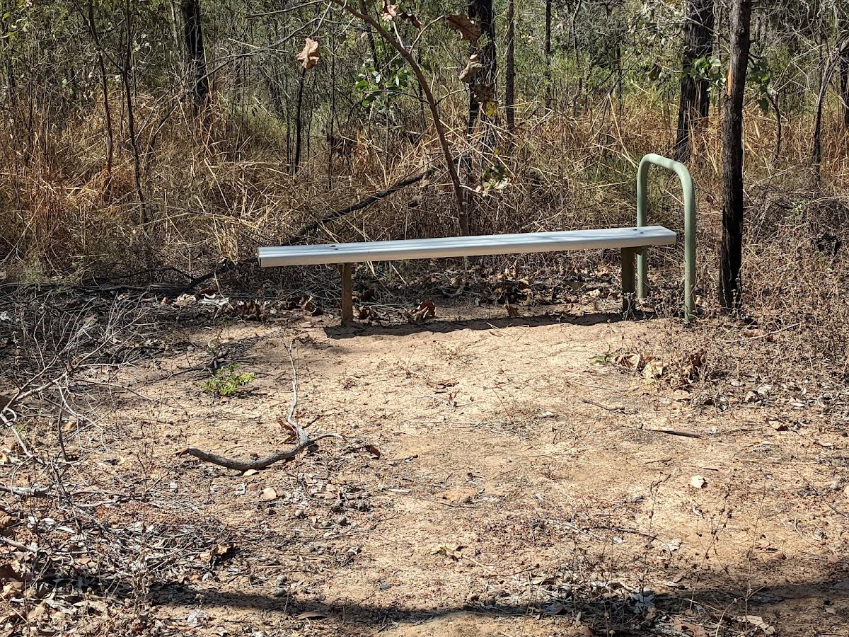
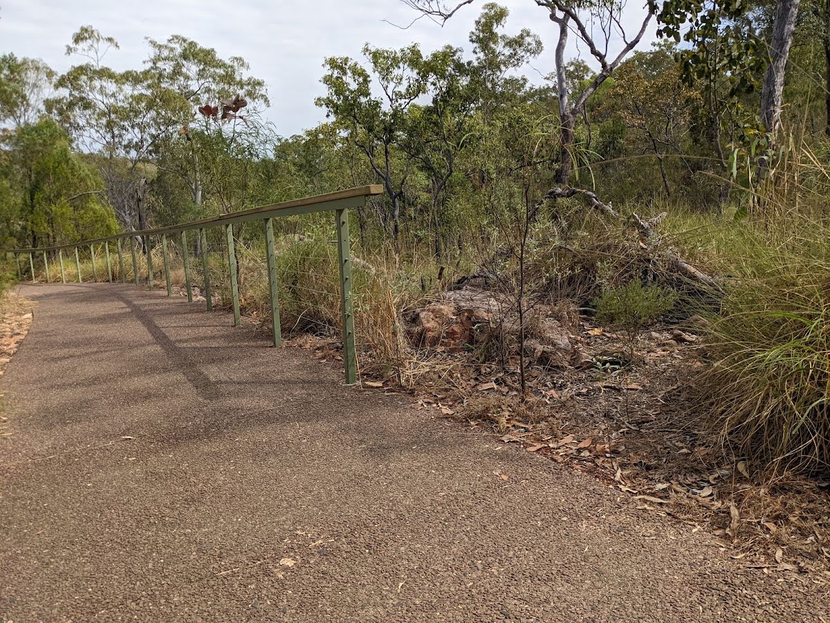
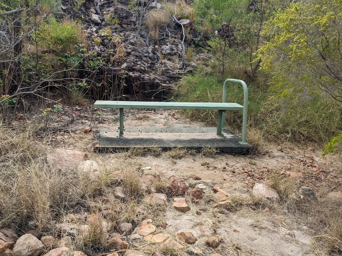
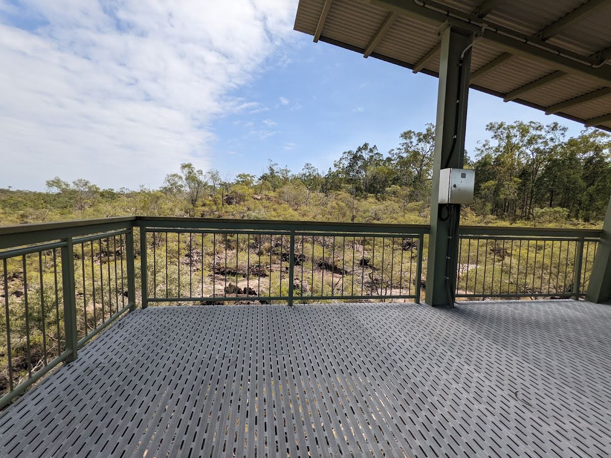
| Infrastructure | Generally useful facilities (such as fenced cliffs and seats) (1/6) |
| Experience Required | No experience required (1/6) |
| Weather | Weather generally has little impact on safety (1/6) |
| Item | From Start | Name & link to notes |
|---|---|---|
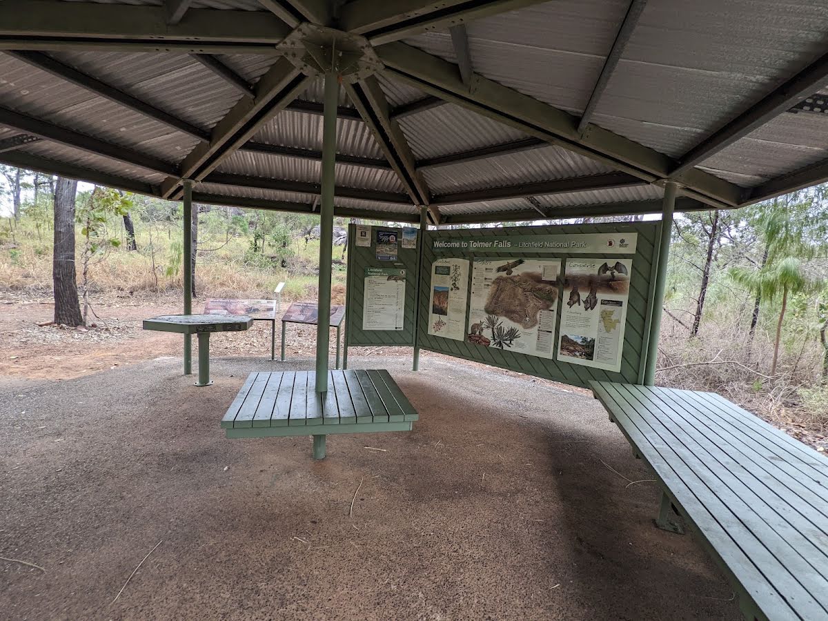
Shelter
| 45 m | [shelter] |
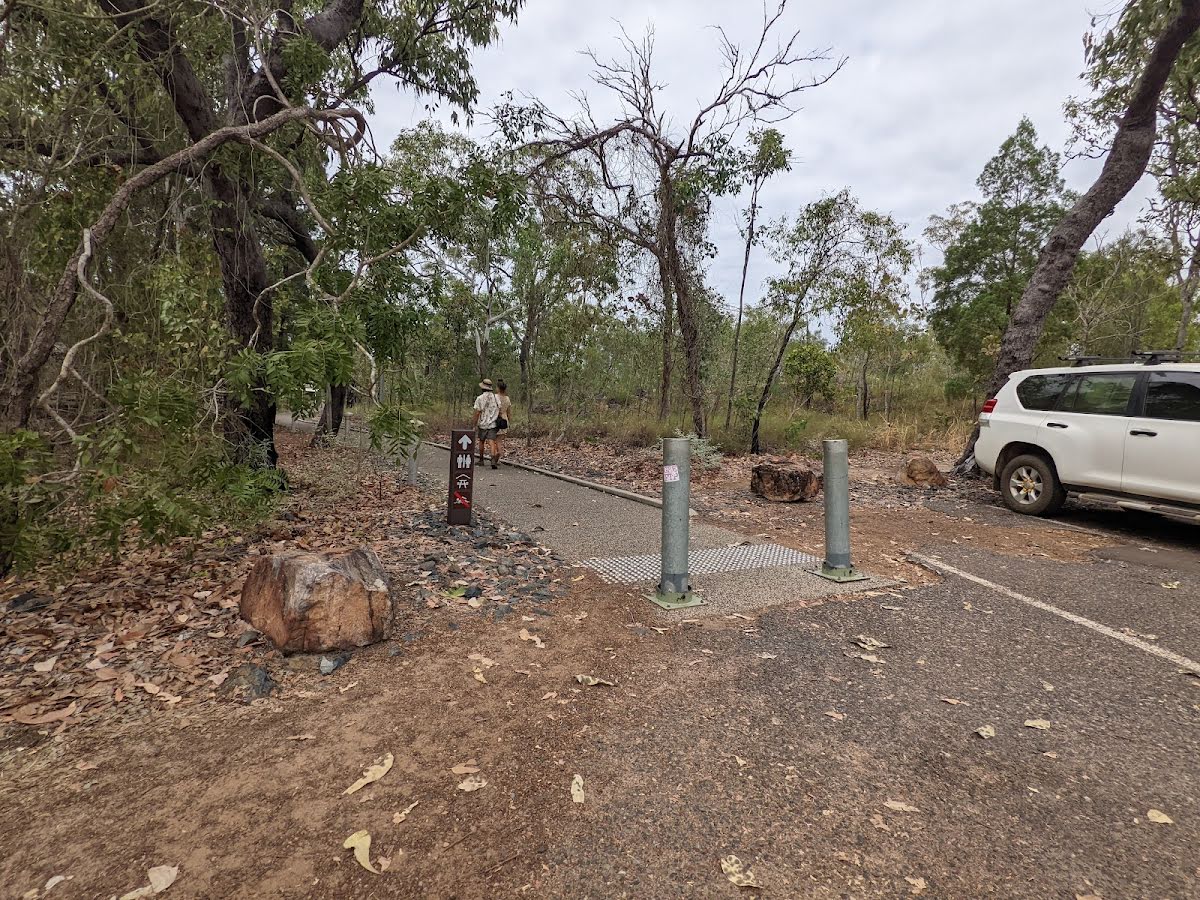
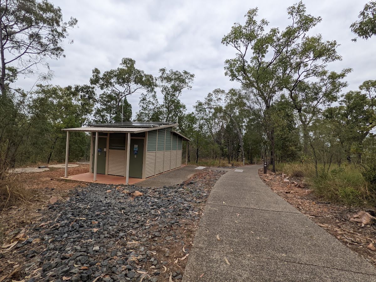
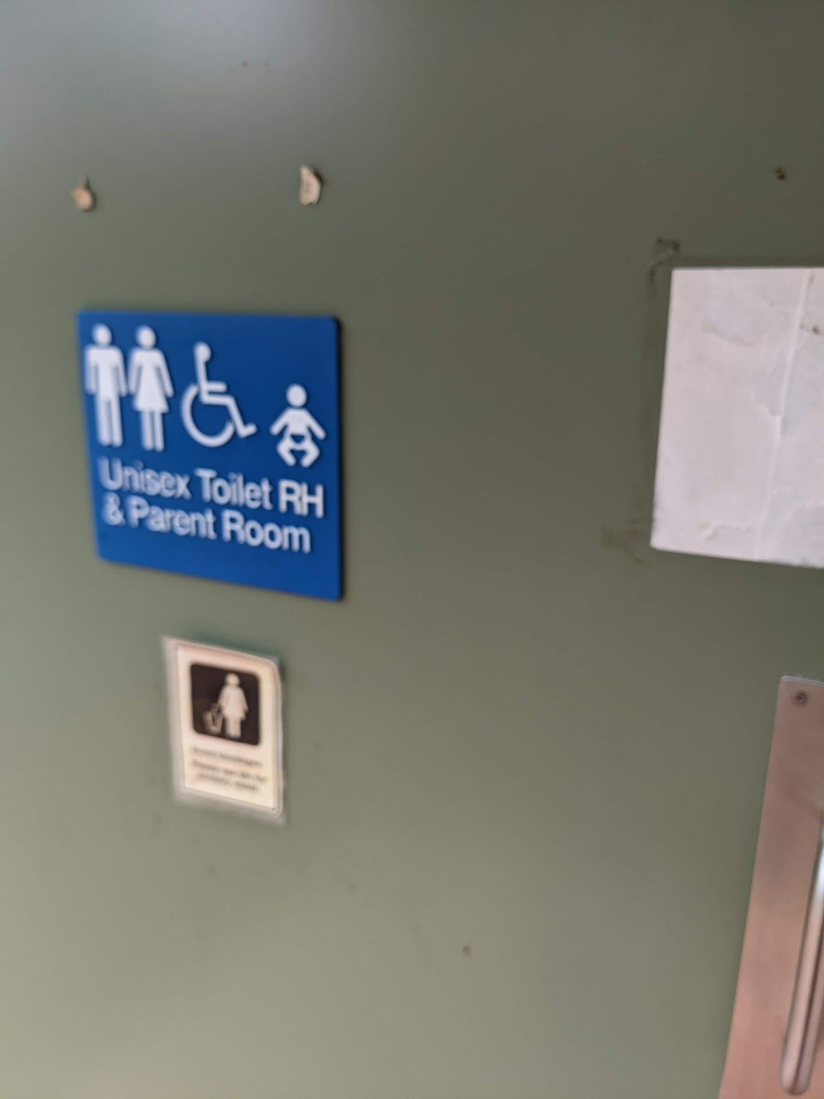
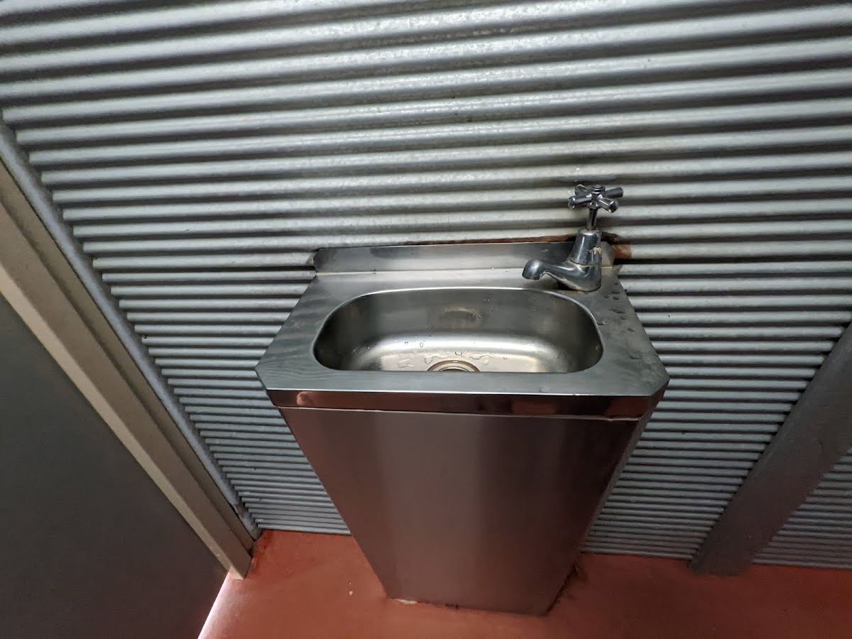
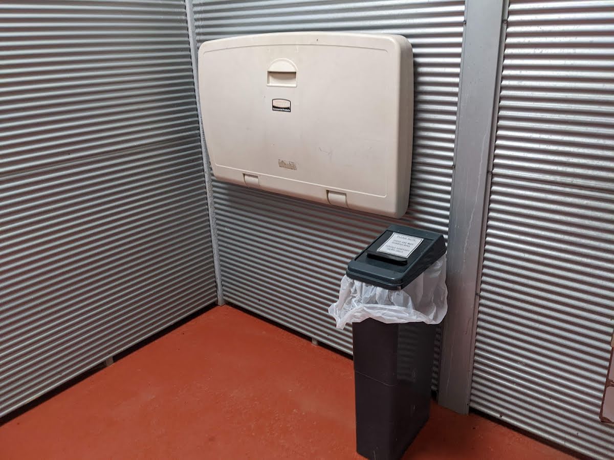
Toilet
| 100 m | [toilet] |
Shelter
| 145 m | [shelter] |
Shelter
| 145 m | [shelter] |
Shelter
| 155 m | [shelter] |
Shelter
| 400 m | [shelter] |