Exploring Cockle Creek at water level and Ku-ring-gai National Park from the ridge, this is an enjoyable short walk to Mt Kuring-gai. Pop into the cafe at Bobbin Head for a cup of coffee or a light meal. The short side trip to the lookout up on the ridge offers an amazing view. As there are no buses to Bobbin Head, you will need to plan a car shuffle or ring a taxi. Let us begin by acknowledging the Traditional Custodians of the land on which we travel today, and pay our respects to their Elders past and present.
Before you start any bushwalk ensure you;
• Tell someone you trust where you are going and what to do if you are overdue
• Have adequate equipment, supplies, skills & knowledge for the whole journey
• Consider the impact of weather forecasts, park/track closures & fire dangers
• Can respond to emergencies & call for help at any point
• Are healthy and fit enough for this journey
If not, change plans and stay safe. It is okay to delay and ask people for help.
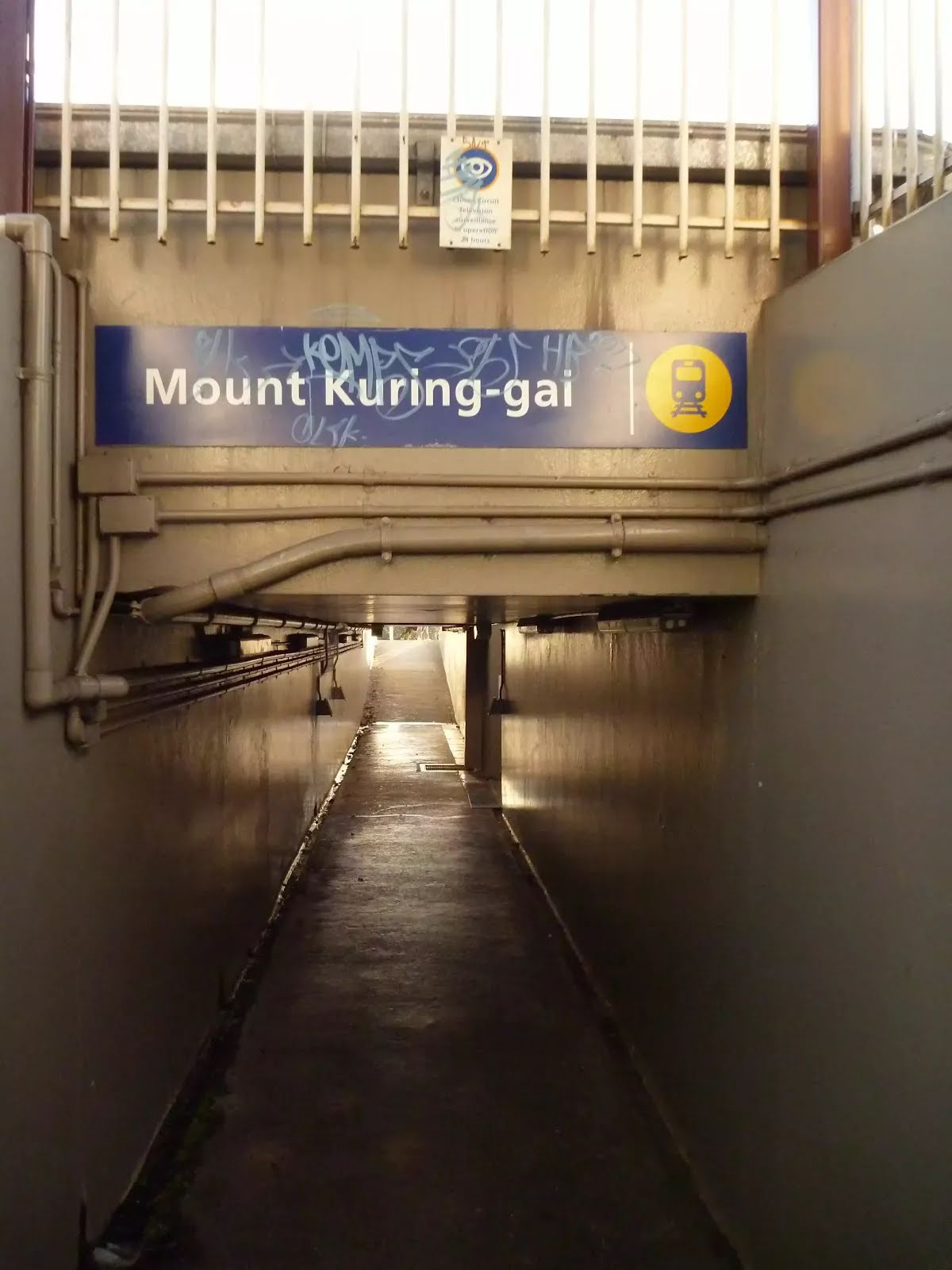
Car ShuttleCar (From Mt Ku-ring-gai Station it is possible to get away to either Hornsby to the South or Brooklyn and the Central Coast in the North using the Pacific Hwy.) Train
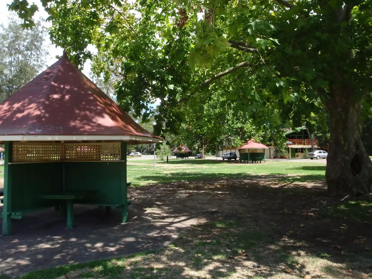
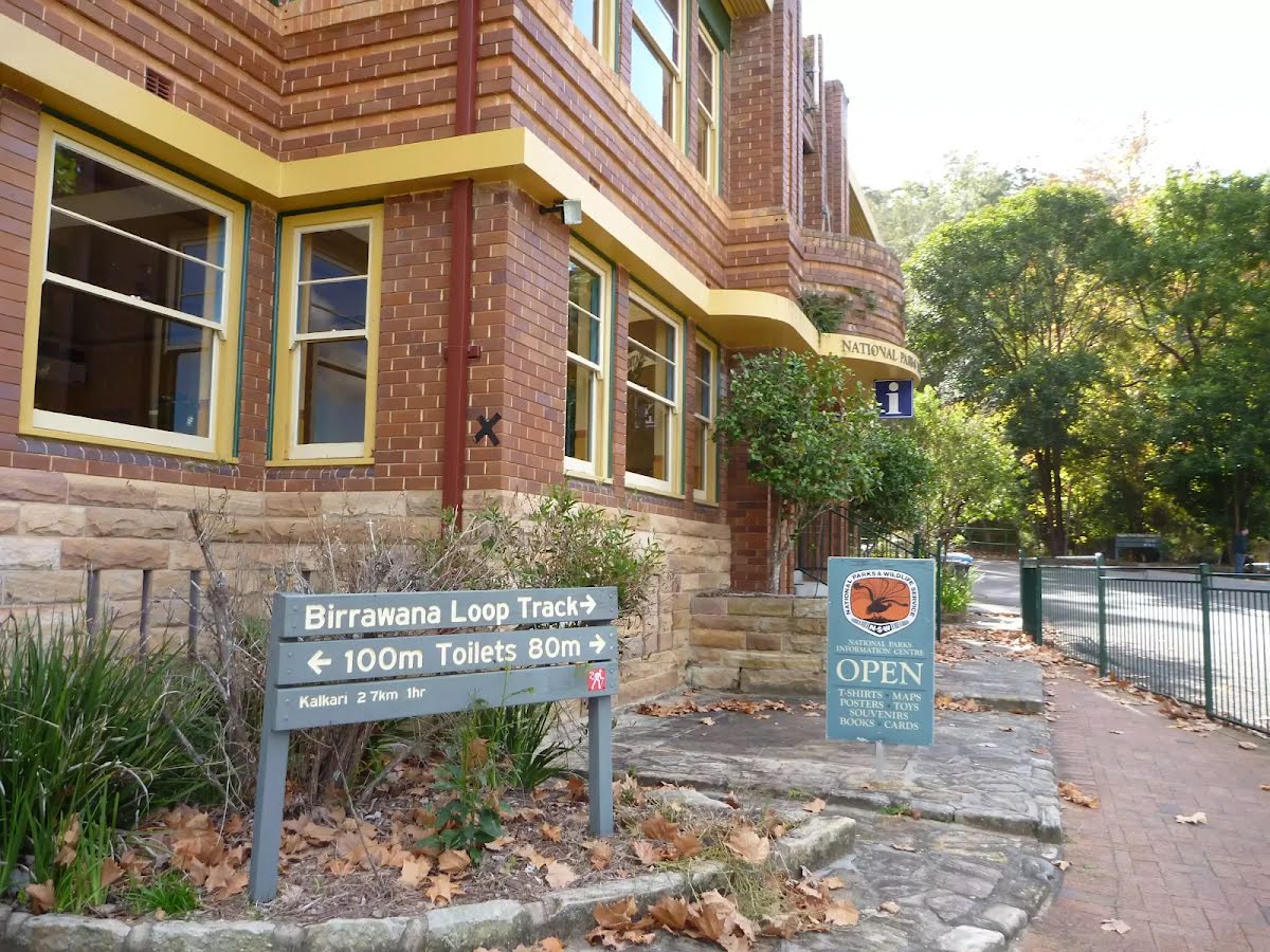
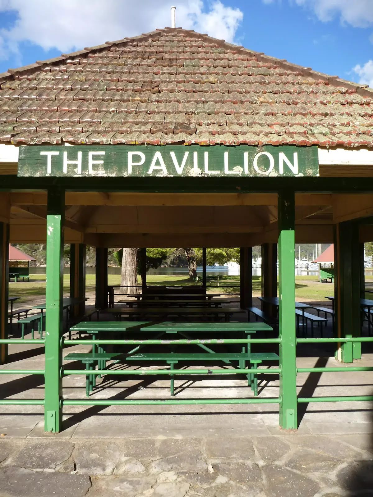
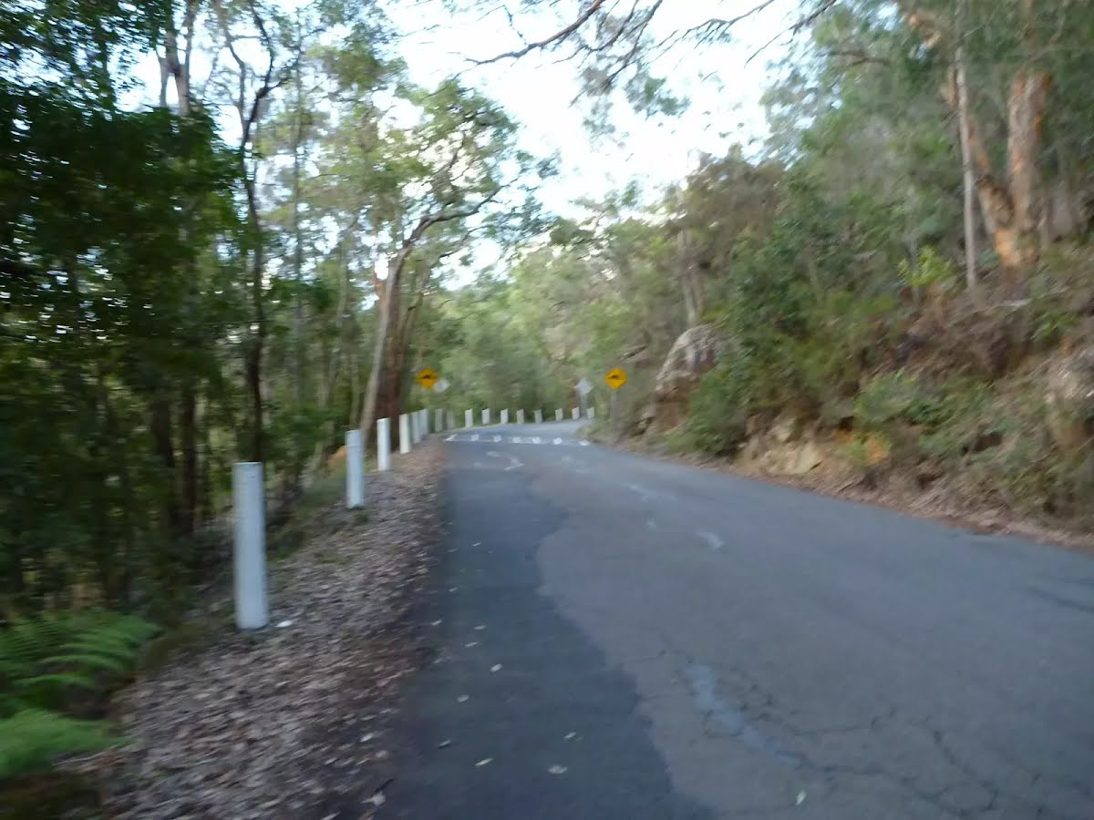
Getting started From Bobbin Inn, this walk heads to the front of the building to the 'Information Centre' to turn right and cross Bobbin Head Road. Here the walk follows the 'Apple Tree Bay' signs through the car park and between the toilet block (on your left) and 'The Pavillion' (on your right) for just over 100m to pass over a speed bump between six sandstone pillars. The walk continues to follow the sealed road gently uphill for 900m passing a few speed bumps to the top of the rise where the road bends left. Here the walk continues downhill along the road for just over 150m to and intersection at the bottom of the signposted 'Regional Office' track (on your left).....
Turn map
Directions & comments
Start.
There is a shelter (about 135 m back from the start).
There is a park (about 130 m back from the start).
There is a car park (about 40 m back from the start).
After 60 m find the "Bobbin Head" (25 m on your left).
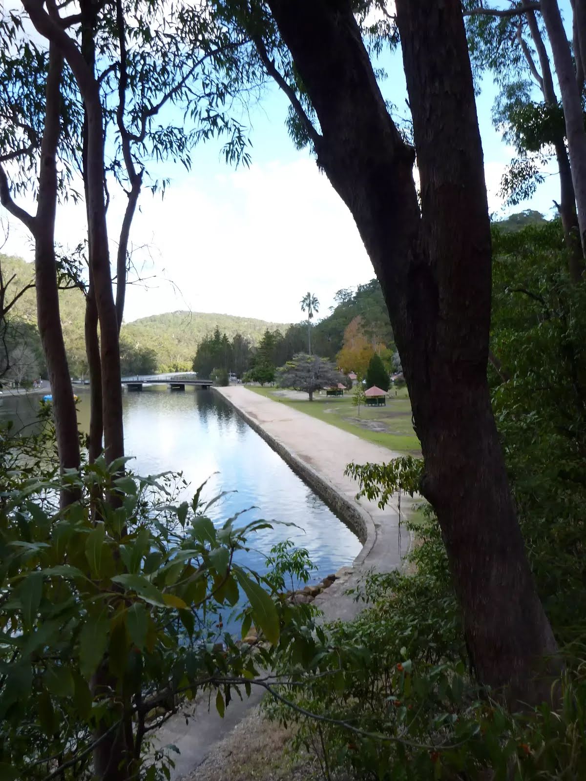
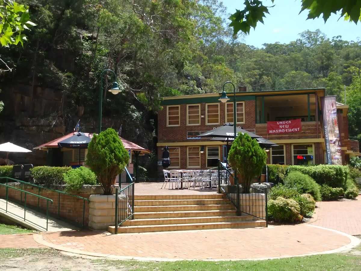
Bobbin Head is a historic recreation area which is still popular today, suiting the needs of many people. At the center of the Bobbin Head area is the old 'Bobbin Inn', built in the 1930s - it is now the park information center and cafe. The area is popular with picnickers, boaters, walkers, canoeists, family groups and people who like to fish. Bobbin Head is roughly divided into three sections (north, south and east).
Southern Bobbin Head is a popular picnic area for families and large groups. The area is surrounded by a car park and dotted with picnic tables, electric BBQs, shelters and a large playground. There are toilets nearby, and 'The Station' is a sheltered accessible area with BBQ and tables that can be booked NPWS.
The northern Bobbin Head (Orchard Park) area is a more formal picnic area. There is a large picnic shelter, surrounded by 14 smaller octagonal shelters, each of these divided into 4 walled-off compartments, ideal for small groups.
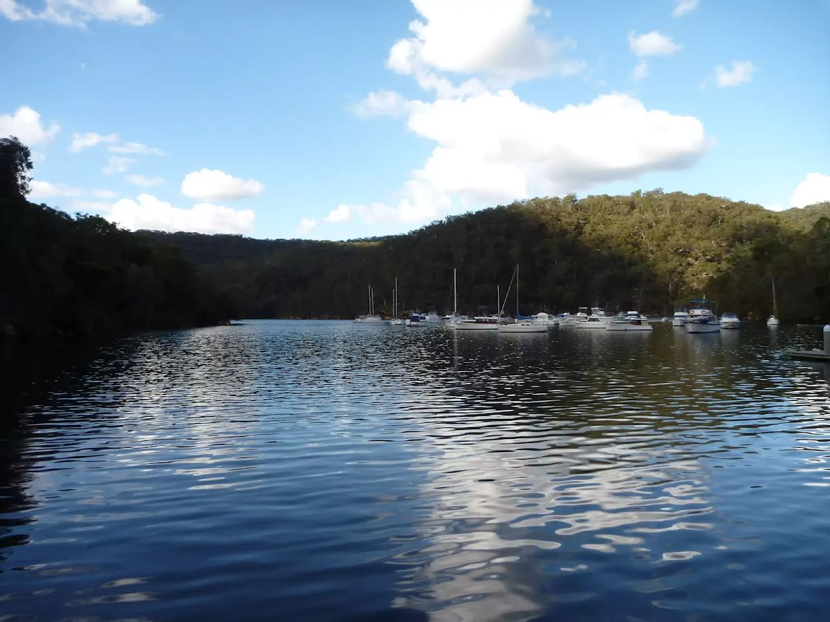
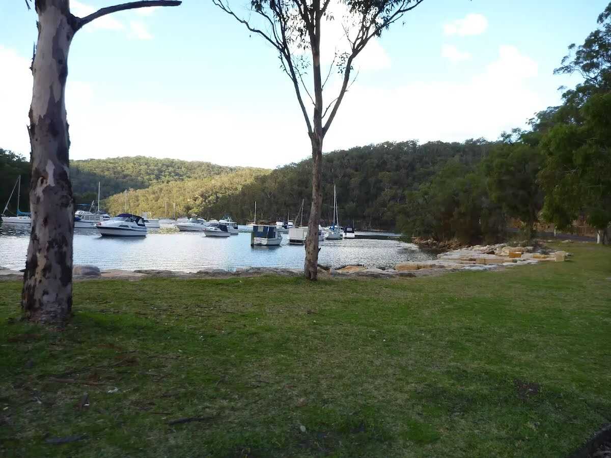
The eastern side of Bobbin Head is dominated by the Empire Marina and a public wharf. The marina is home to a nice restaurant and public toilets.
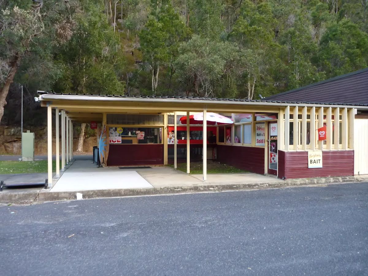
After another 70 m find the "Bobbin Inn Cafe" (35 m on your left).
At the centre of Bobbin Head picnic area, in the old 'Bobbin Inn' building, is a cafe offering inside and outdoor dining, and a range of foods and drinks. Food includes fish and chips, wraps, focaccia, sandwiches and snack foods. Tea, coffee and cold drinks are also on offer. Opening hours are 9 - 4pm Mon to Fri (closed Tuesdays) & 9 - 5pm weekends. For more information, phone the cafe on 9457 7170.
The NPWS Bobbin Head Information Centre is open 7 days a week (closed Christmas Day) 10 - 4pm (closed 12 - 12:30pm lunch).
Ramp access available on the southwestern corner of the building. Ramp access to the information centre through the cafe.
At the intersection of Apple Tree Bay Road & Ku-Ring-Gai Chase Road turn right, to head along Apple Tree Bay Road (a vehicle track).
After another 10 m pass the "Bobbin Head Inn" (15 m on your left).
Then to find the car park.
Then pass the "National Parks Information Centre" (10 m on your left).
Mo-Su 10:00-16:00
After another 25 m pass the "Welcome to Cockle Creek Lookout Track" (8 m on your left).
Continue straight.
After another 25 m continue straight.
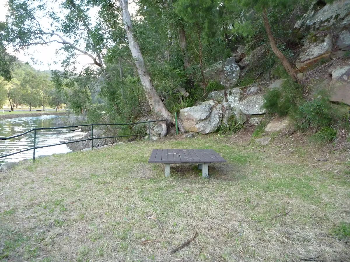
After another 8 m pass the picnic table (20 m on your right).
After another 3 m continue straight.
After another 30 m pass the toilet (35 m on your left).
Continue straight.
After another 20 m pass the BBQ (60 m on your right).
After another 5 m pass the shelter (40 m on your right).
After another 15 m pass the picnic table (15 m on your right).
After another 1 km continue straight, to head along Apple Tree Bay Road.
After another 150 m turn right.
After another 35 m find the "Apple Tree Bay" (20 m on your left).
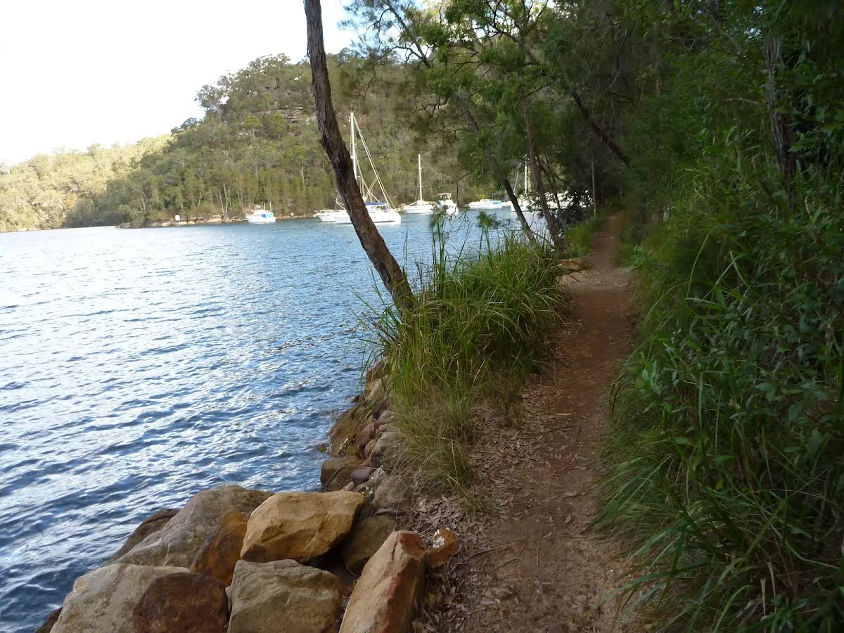
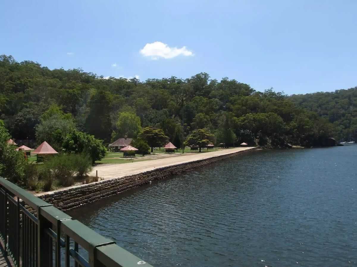
Apple Tree Bay, in Ku-Ring-Gai Chase national park, has a popular boat ramp for accessing Cowan creek and plenty of parking. The area has kiosk, electric BBQ's, picnic benches, toilets, drinking water, garbage facilities, and shade provided by trees. If you are after a quiet spot, head to the western end (away from the boat ramp, past the BBQ's), just beyond the car park, to a lovely clearing by the water. The area is closed between sunset and sunrise.
The kiosk/cafe is open on weekend and services hot and cold drinks, ice creams and some hot food.
After another 10 m pass the cafe (20 m on your left).
Sa-Su PH
After another 3 m turn right.
After another 7 m pass the park (7 m on your left).
After another 10 m pass the toilet (40 m on your left).
After another 10 m turn right.
After another 35 m turn left.
After another 25 m cross the bridge (about 35 m long)
After another 65 m pass the sign.
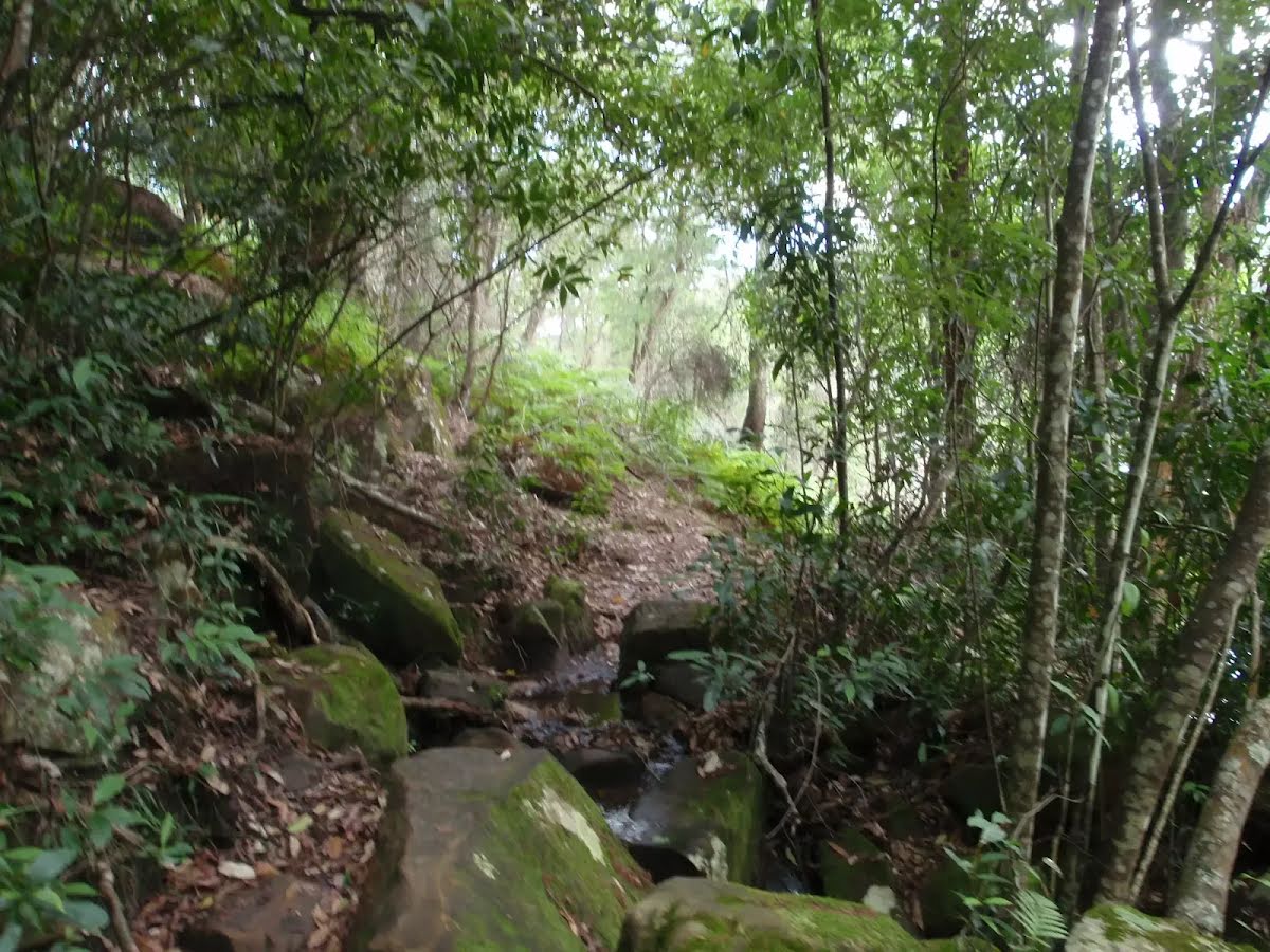
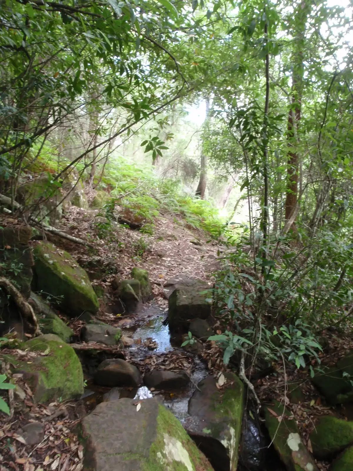
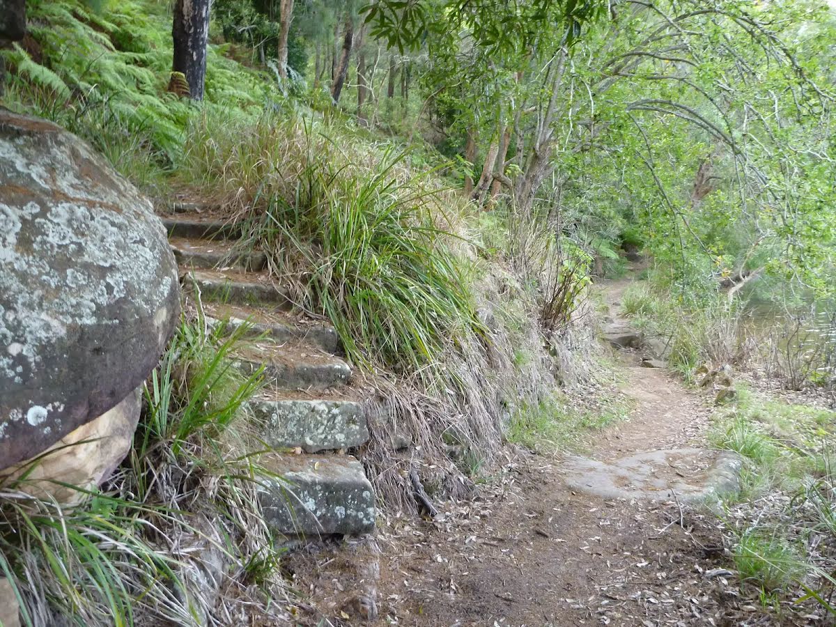
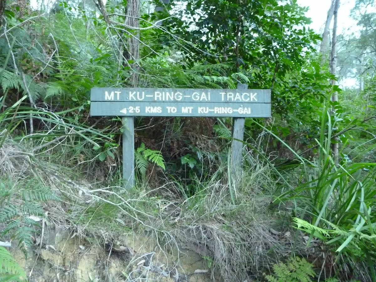
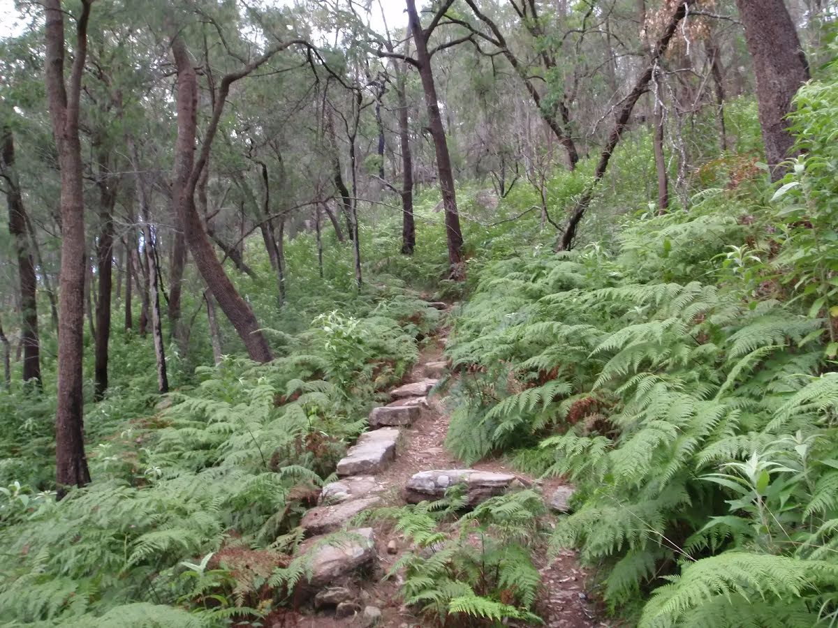
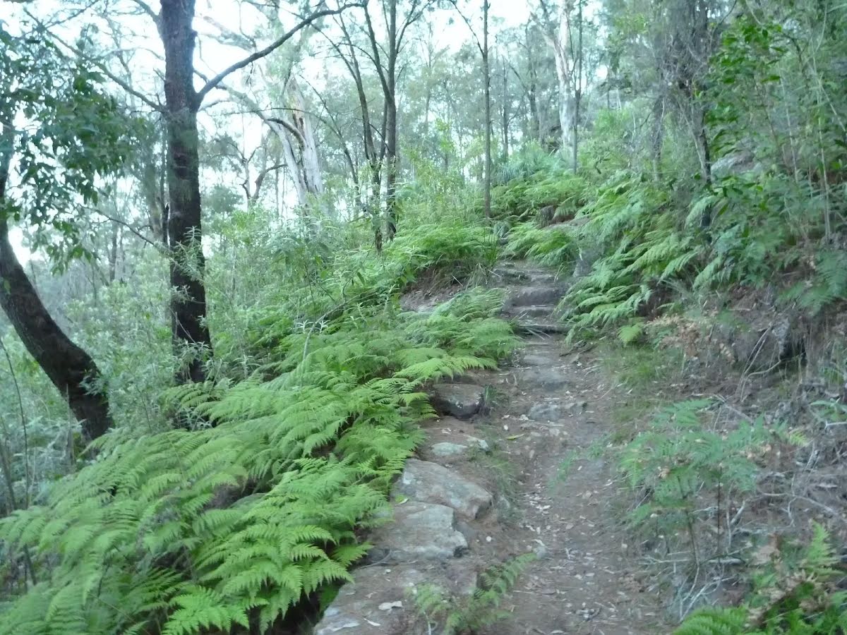
After another 740 m (at the intersection of Berowra Track & Mount Kuring-Gai Track) turn sharp left, to head along Mount Kuring-Gai Track.
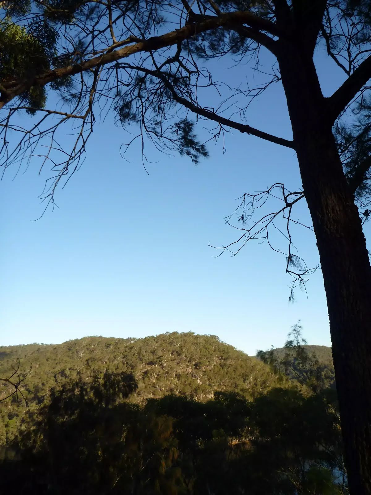
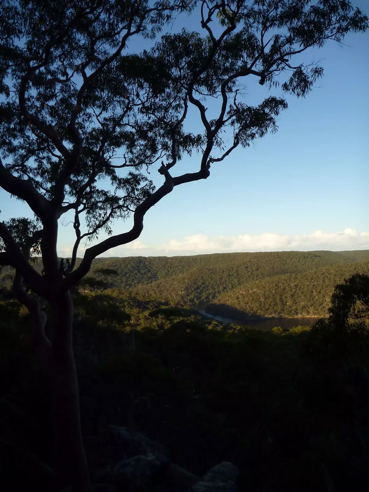
After another 325 m come to the viewpoint.
After another 1.4 km come to the viewpoint (20 m on your right).
Continue straight, to head along Mount Kuring-Gai Track.
Then come to the "Firefighters Rest" (35 m on your right).
The starting point of an optional sidetrip. An optional side trip to Apple Tree Bay Viewpoint. To start this optional side trip turn left here. On returning from this side trip veer left when you get back to this intersection. Details below.
After another 250 m continue straight, to head along Mount Kuring-Gai Track.
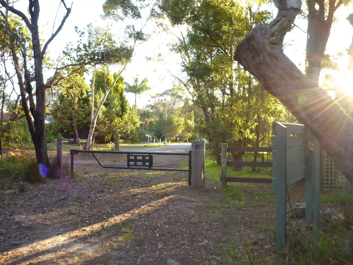
After another 660 m head through/around the gate.
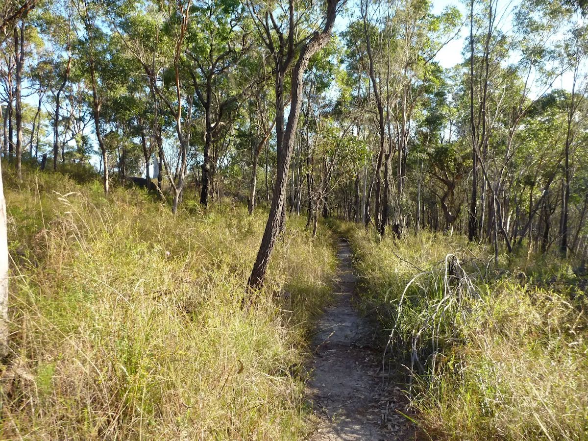
Continue straight, to head along Mount Kuring-Gai Track.
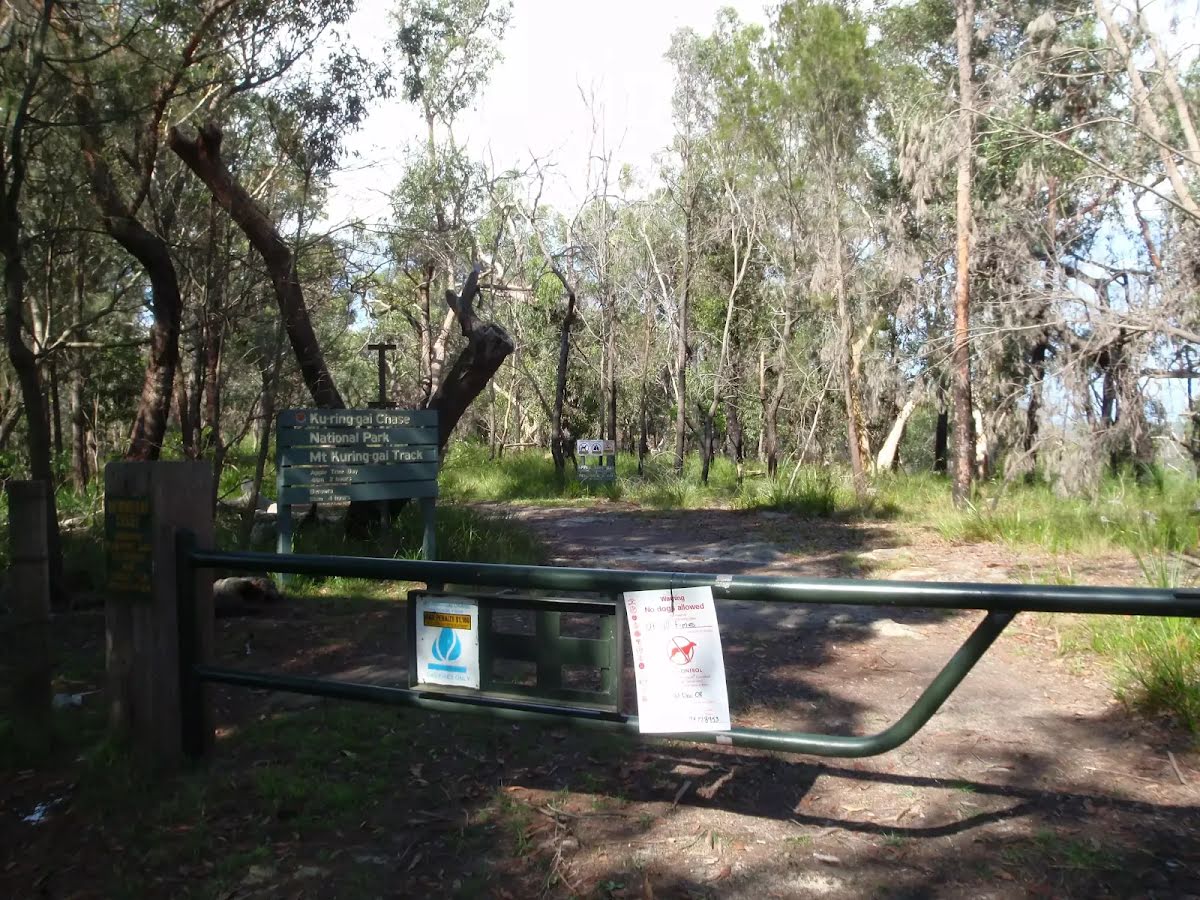
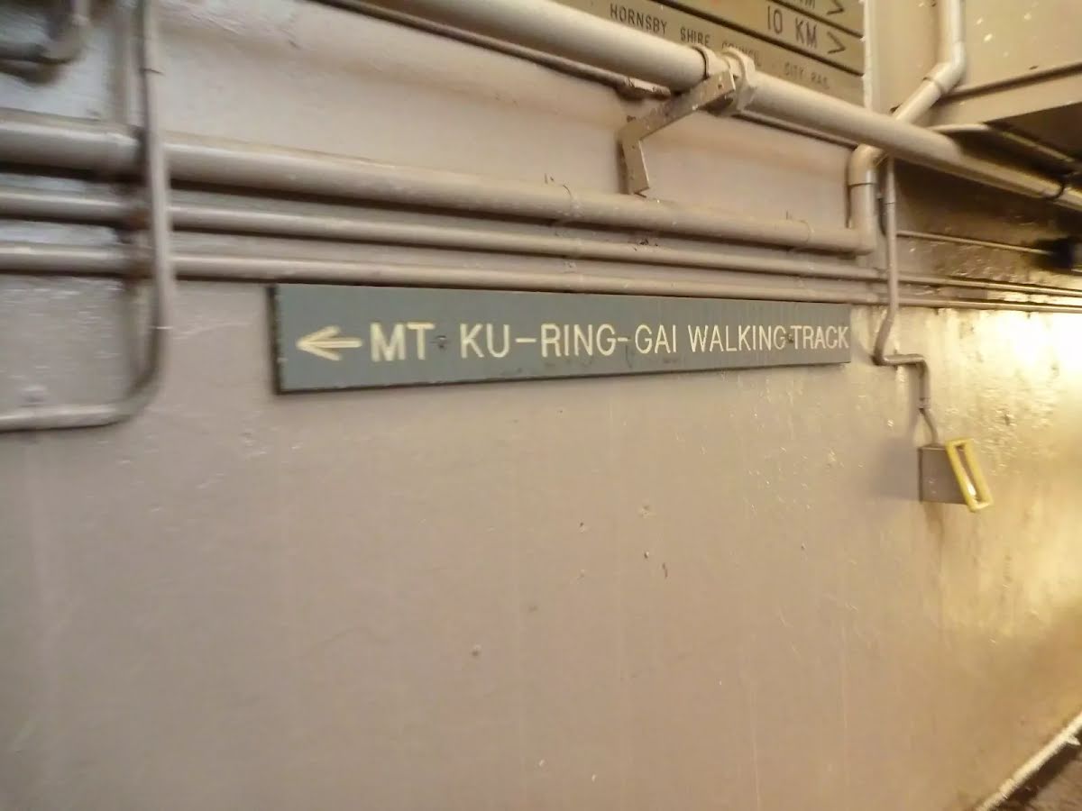
Then pass the "Mount Ku-ring-gai Track" (5 m on your right).
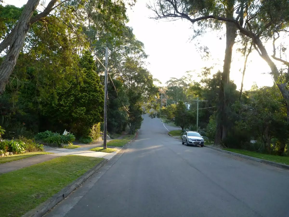
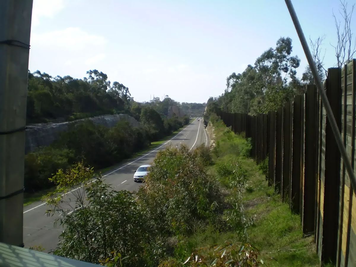
After another 30 m (at the intersection of Young Street & Mount Kuring-Gai Track) continue straight, to head along Harwood Avenue (a residential road).
After another 105 m (at the intersection of Seaview Street & Harwood Avenue) continue straight, to head along Harwood Avenue.
After another 85 m (at the intersection of Harwood Avenue & Low Street) continue straight, to head along Harwood Avenue.
After another 15 m (at the intersection of Bayview Street & Harwood Avenue) continue straight, to head along Harwood Avenue.
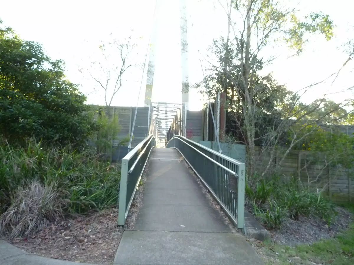
After another 45 m (at the intersection of Harwood Avenue Pedestrian Bridge & Harwood Avenue) continue straight, to head along Harwood Avenue Pedestrian Bridge (a walking track).
Then cross the bridge (about 90 m long)
Then head through the tunnel
After another 25 m turn right.
Then head through the tunnel
After another 4 m come to the end.
About 90 m past the end is a toilet.
An optional side trip to Apple Tree Bay Viewpoint.
Turn map
Directions & comments
Start.
After another 105 m come to the end.
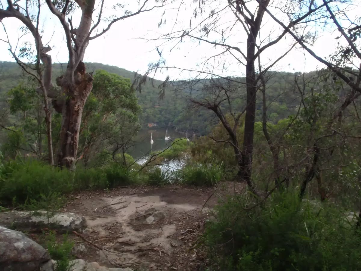
"Mt Ku-Ring-Gai Track Lookout".
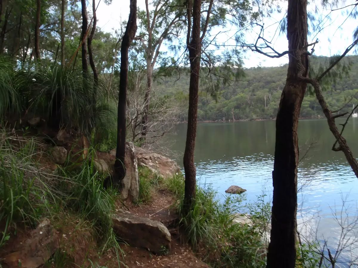
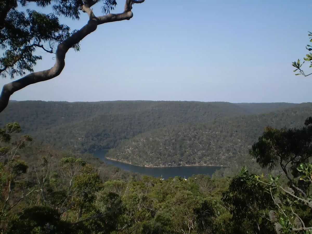
This informal, unfenced lookout is perched on some rocks, not far from the Mt Ku-Ring-Gai Track. It provides views across the valley to Cowan Creek and over much of Ku-Ring-Gai Chase National Park.
Turn around and retrace your steps back the 105 m to the main route.
Bobbin Head to Mt Kuring-gai via Apple Tree Bay
Grading
Class 4/6
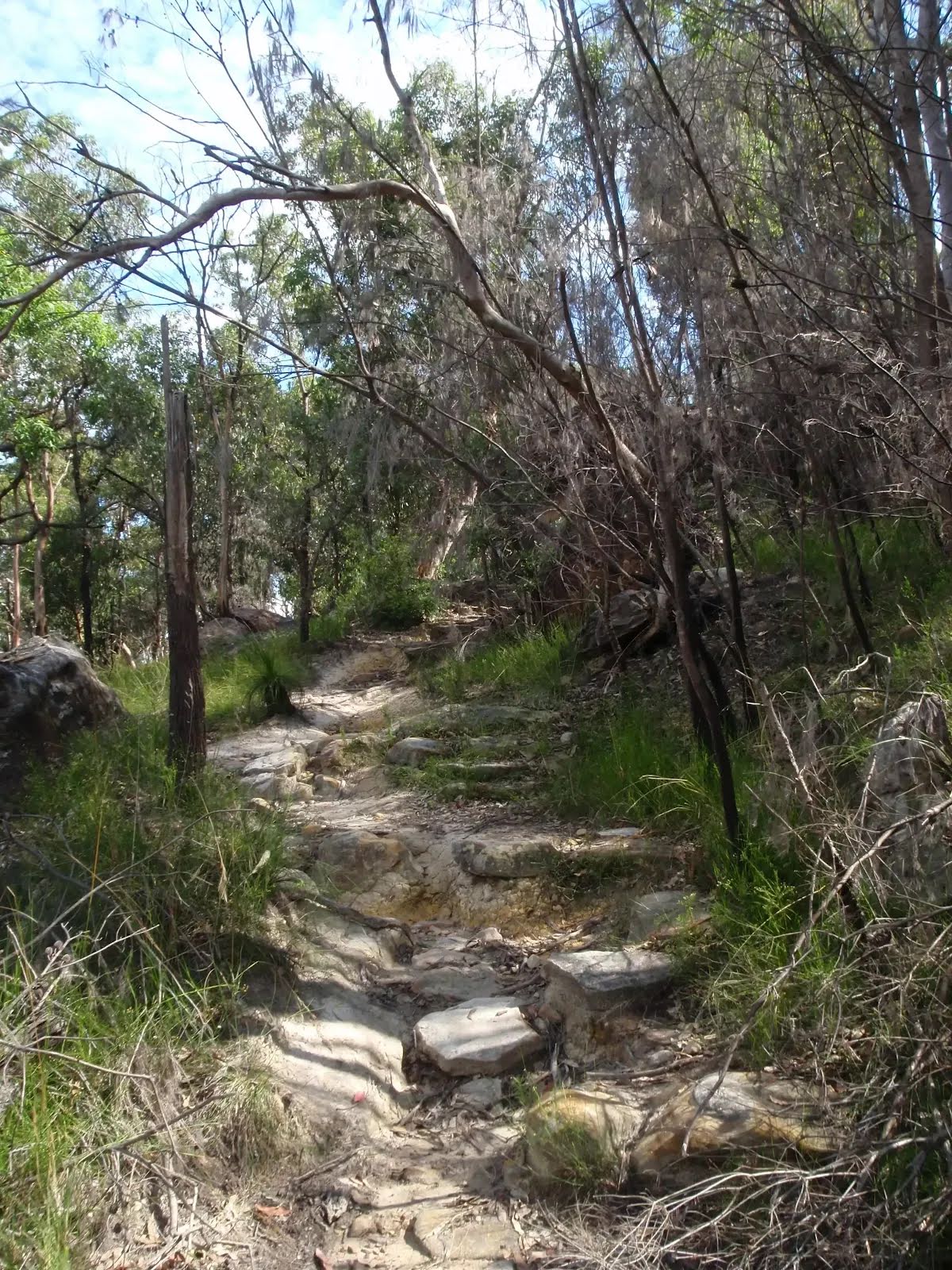
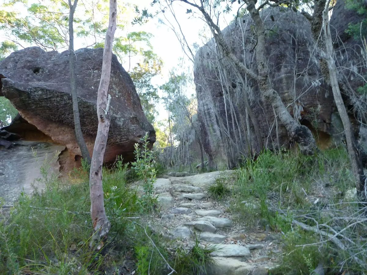
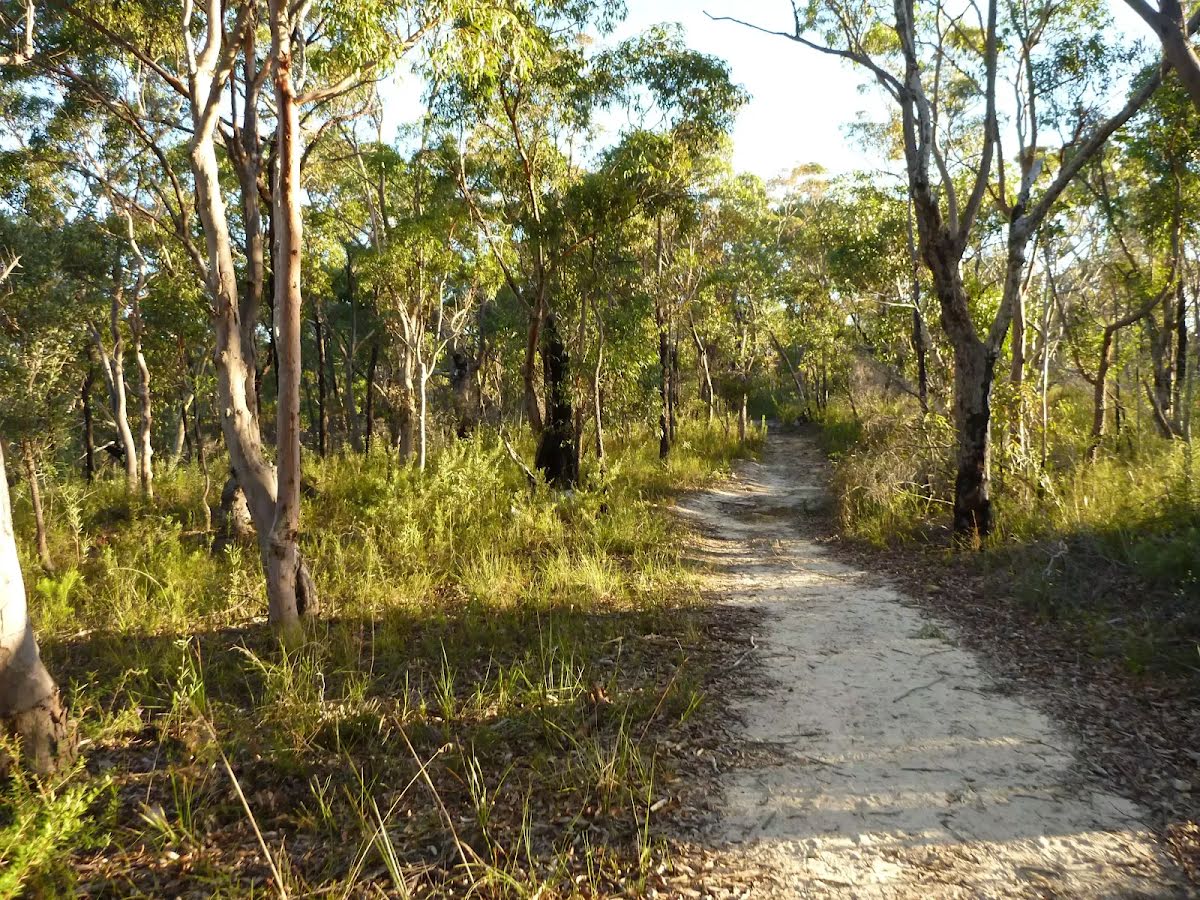
Hard track
Length
5.3 km
Time
2 h 15 min to 2 h 30 min
Quality of track
Formed track, with some branches and other obstacles (3/6)
Gradient
Very steep (4/6)
Signage
Directional signs along the way (3/6)
Infrastructure
Limited facilities, not all cliffs are fenced (3/6)
Experience Required
Some bushwalking experience recommended (3/6)
Weather
Weather generally has little impact on safety (1/6)
Some facilities on route
Shelter: There are 2 on route, on average they are 1.8 km apart with the largest gap of 5.2 km.
Toilet: There are 3 on route, on average they are 1.3 km apart with the largest gap of 3.9 km.
Sunny. Morning frost patches in the west. Winds westerly 15 to 20 km/h becoming light in the afternoon.
Fire Danger Rating: No Rating
UV Alert: Sun protection not recommended, UV Index predicted to reach 2 [Low]
Thursday 17 July
5°C → 16°C
Mostly sunny. 5% chance of rain
Mostly sunny. Areas of morning frost in the west. Light winds.
Friday 18 July
6°C → 15°C
Shower or two. 50% chance of rain 0 → 2mm
Partly cloudy. Patches of morning frost in the west. Medium chance of showers, most likely in the morning and afternoon. Winds southwesterly 15 to 20 km/h tending southerly during the day then becoming light during the evening.
Saturday 19 July
7°C → 18°C
Mostly sunny. 20% chance of rain
Mostly sunny. Patches of frost and the chance of fog in the west in the morning. Slight chance of a shower along the coastal fringe, near zero chance elsewhere. Light winds.
Sunday 20 July
5°C → 17°C
Sunny. 20% chance of rain
Sunny. Areas of morning frost in the west. Light winds.
Monday 21 July
6°C → 17°C
Shower or two. 50% chance of rain 0 → 2mm
Partly cloudy. Medium chance of showers. Light winds becoming easterly 15 to 20 km/h during the day.
Tuesday 22 July
9°C → 18°C
Shower or two. 60% chance of rain 0 → 4mm
Partly cloudy. Medium chance of showers. Light winds becoming northwest to northeasterly 15 to 20 km/h during the morning.
Other planned events: 1080 pest management operation NSW National Parks and Wildlife Service will be conducting a baiting program using manufactured baits, fresh baits and Canid Pest Ejectors (CPEs) containing 1080 poison (sodium fluroacetate) for the control of foxes. The program is continuous and ongoing between Saturday 1 February 2025 and Thursday 31 July 2025 in Ku-ring-gai Chase National Park.
Please don’t touch baits or ejector devices. All baiting locations are identifiable by signs.
Domestic pets are not permitted in NSW national parks and reserves. Pets and working dogs may be affected (1080 is lethal to cats and dogs). Pets and working dogs must be restrained or muzzled in the vicinity and must not enter the baiting location. In the event of accidental poisoning seek immediate veterinary assistance.
Fox baiting in these reserves is aimed at reducing their impact on threatened species. Penalties apply for non-compliance. For more information, contact the Forestville area office on 02 9451 3479 or the Lane Cove area office on 02 8448 0400 (business hours). Alternatively, call the NPWS after-hours call centre on 1300 056 294.
Closed areas: Berowra walking track partial closure Berowra walking track is partially closed from Apple Tree Bay to the Mt-Ku-ring-gai access track until further notice. There is a threat of rockfalls due to slope instability caused by recent weather events. NPWS is in the process of carrying out necessary repair works.
Berowra walking track from Berowra Station to Mt Ku-ring-gai remains open. Penalties apply for non-compliance. For more information, contact the local NPWS office on 02 8448 0400 or call 1300 072 757 (13000 PARKS).