


| Start | (-37.2595414,150.0479313) |
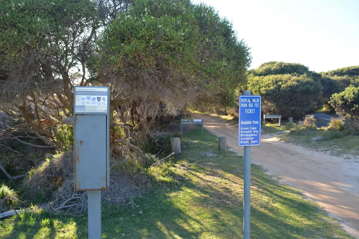
| Mode | Car (A park entry fee is required for driving into the park.) |
| Directions | From Princes Highway, A1
|

|
|
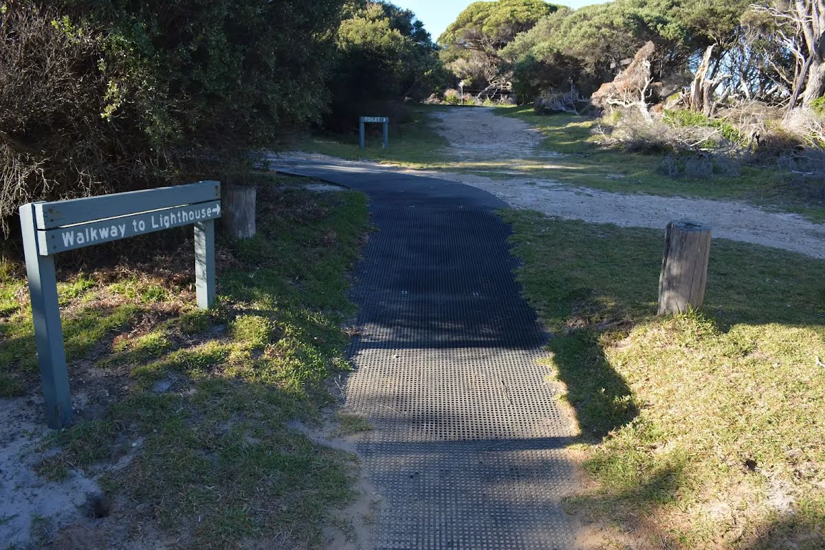
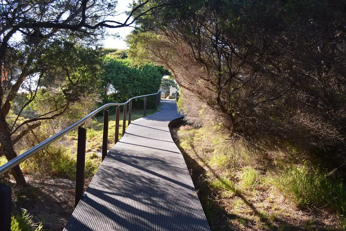
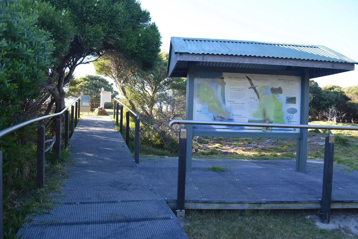
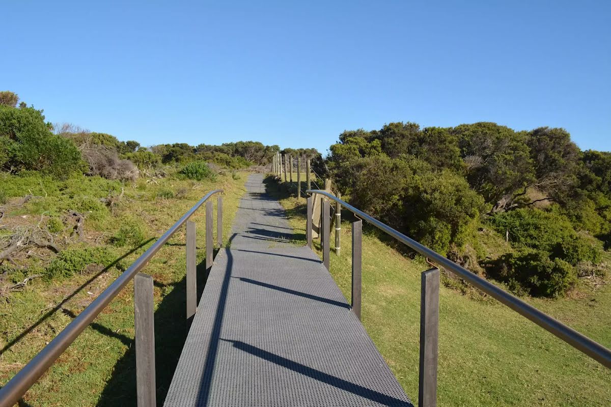
Class 2/6 Easy track |
|---|---|
| Length | 820 m |
| Time | 20 min to 30 min |
| Quality of track | Clear and well formed track or trail (2/6) |
| Gradient | Gentle hills with occasional steps (2/6) |
| Signage | Clearly signposted (1/6) |
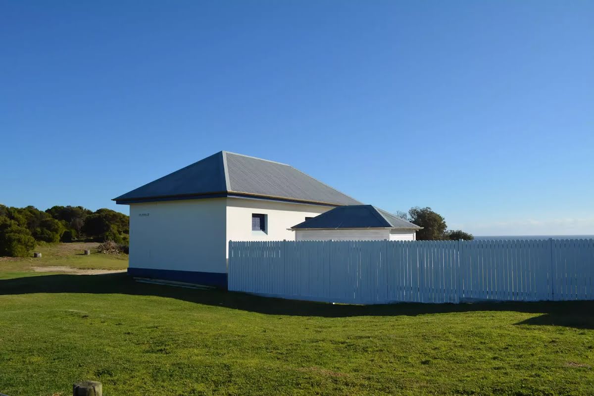
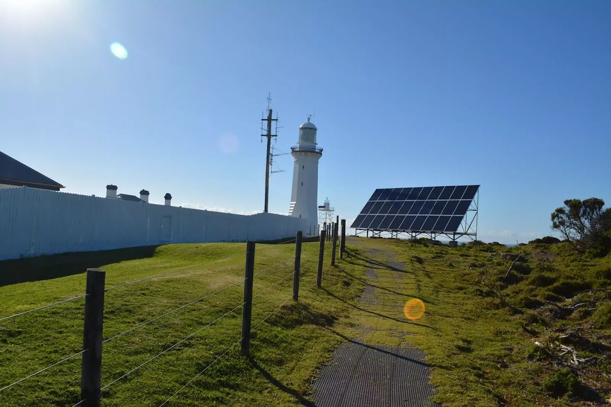
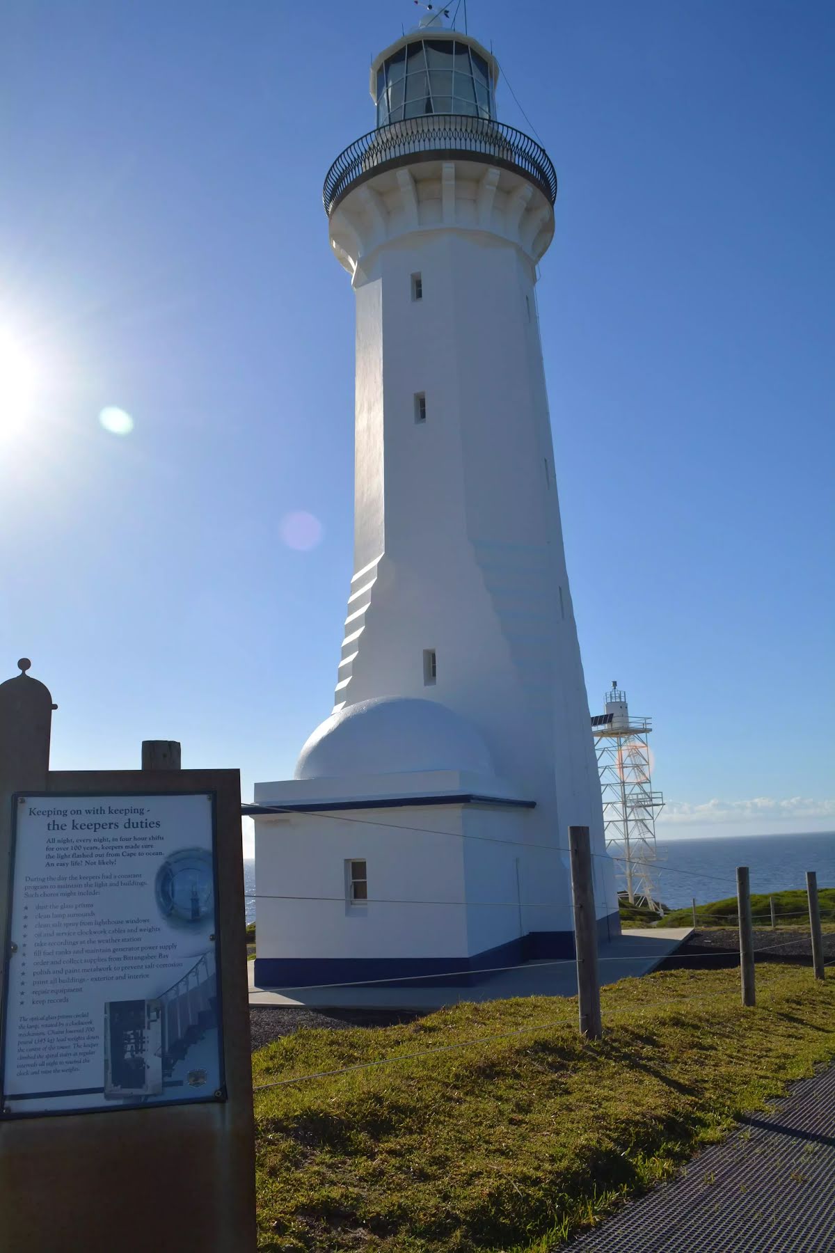
| Infrastructure | Generally useful facilities (such as fenced cliffs and seats) (1/6) |
| Experience Required | No experience required (1/6) |
| Weather | Weather generally has little impact on safety (1/6) |
| Item | From Start | Name & link to notes |
|---|---|---|
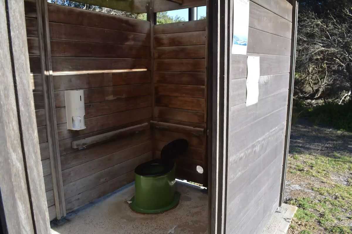
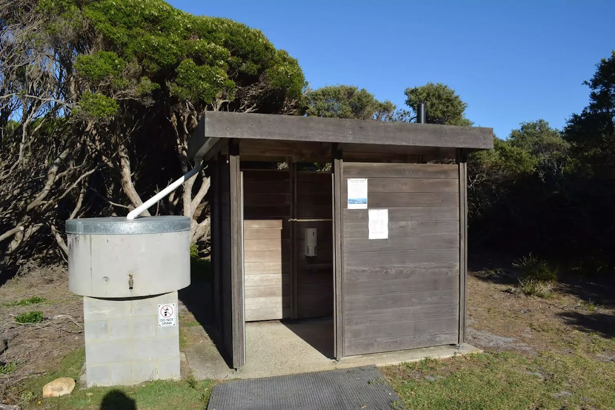
Entity|toilet
| 80 m | Toilet |
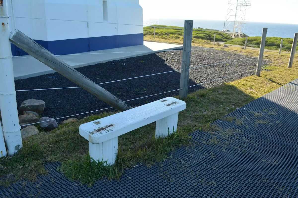
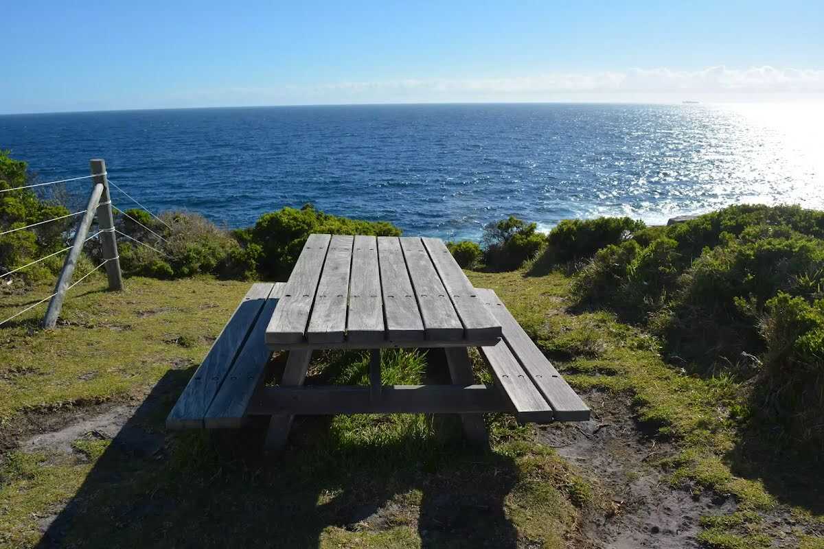
Seat
| 335 m | Seat |