Blackbutt Creek Return
Darug Country

2 h to 4 h

5.8 km
return

↑ 125 m
↓ -125 m

Moderate track
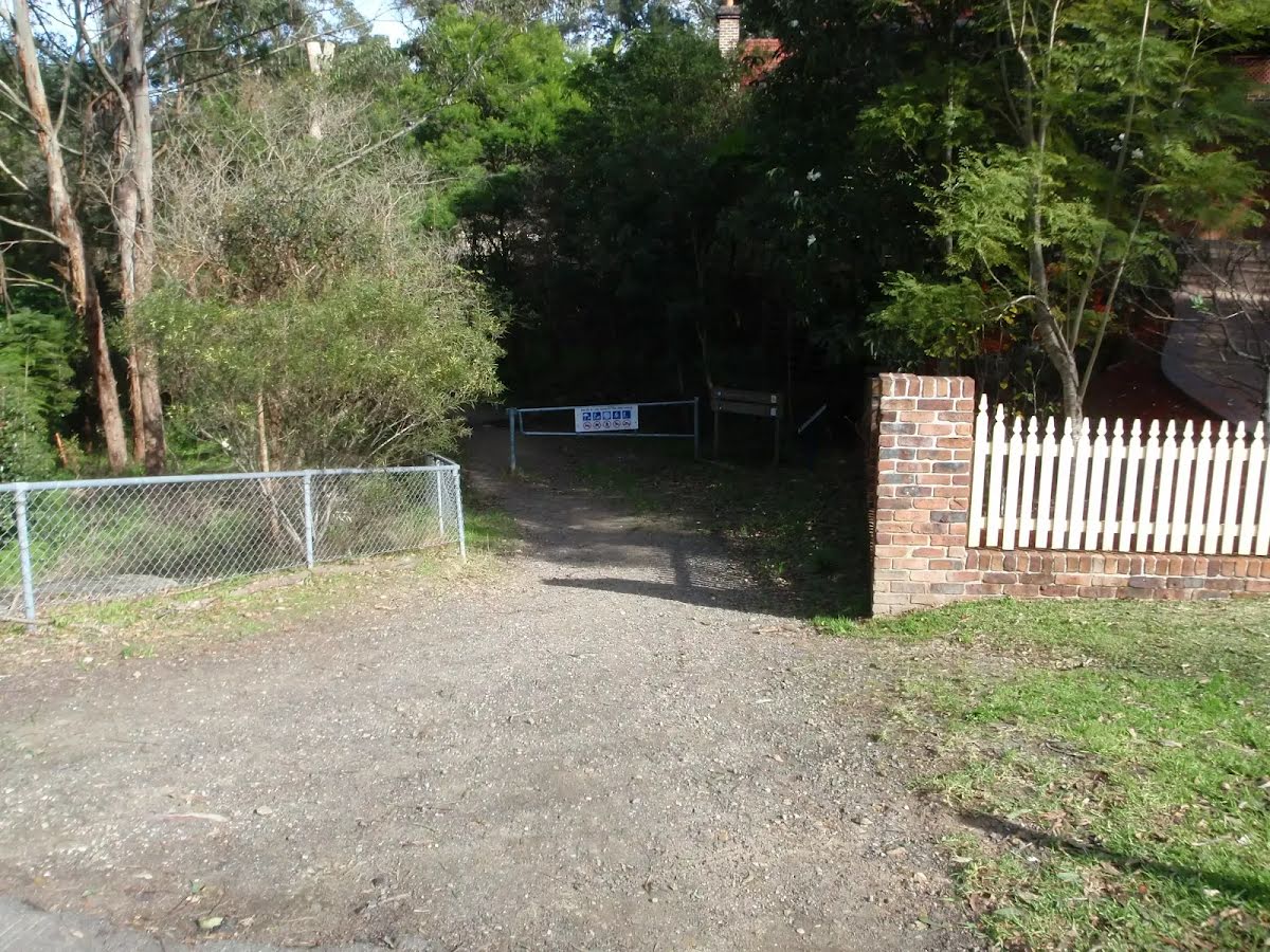
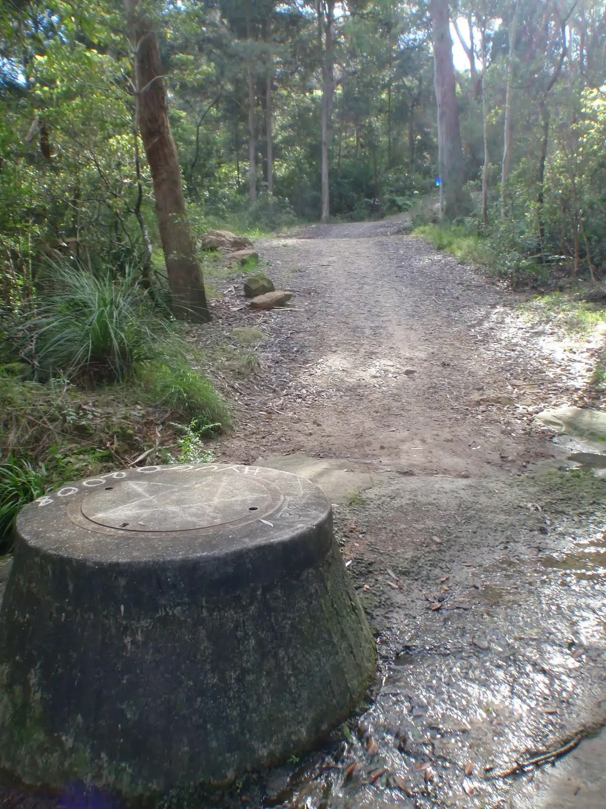
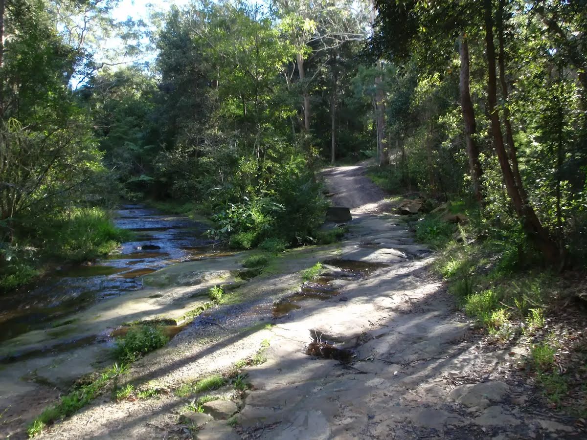
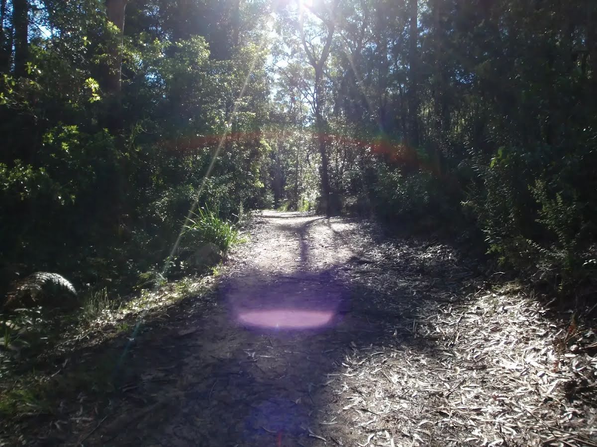
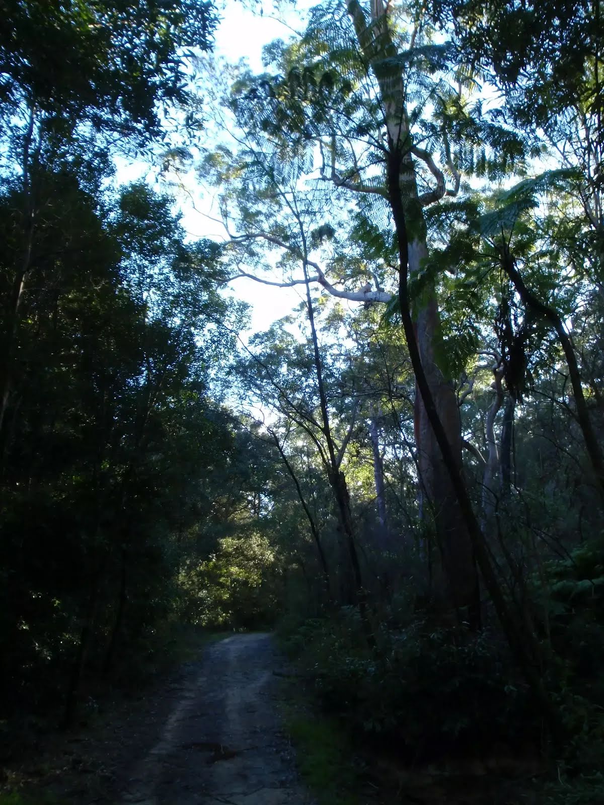
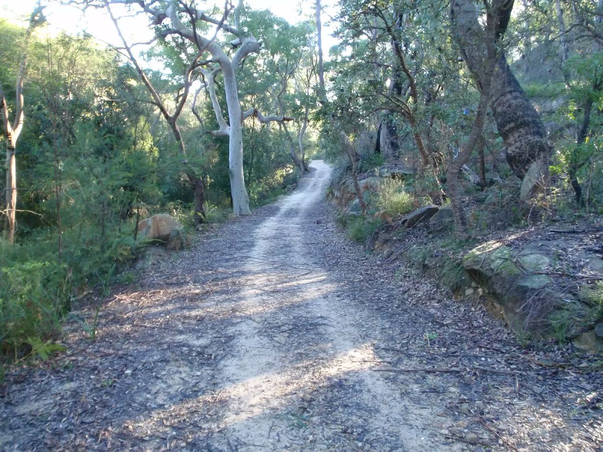
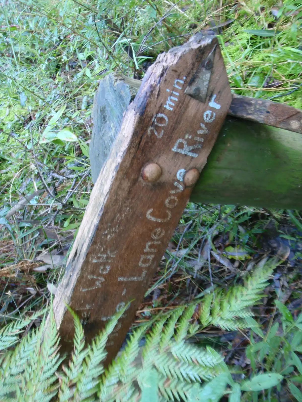
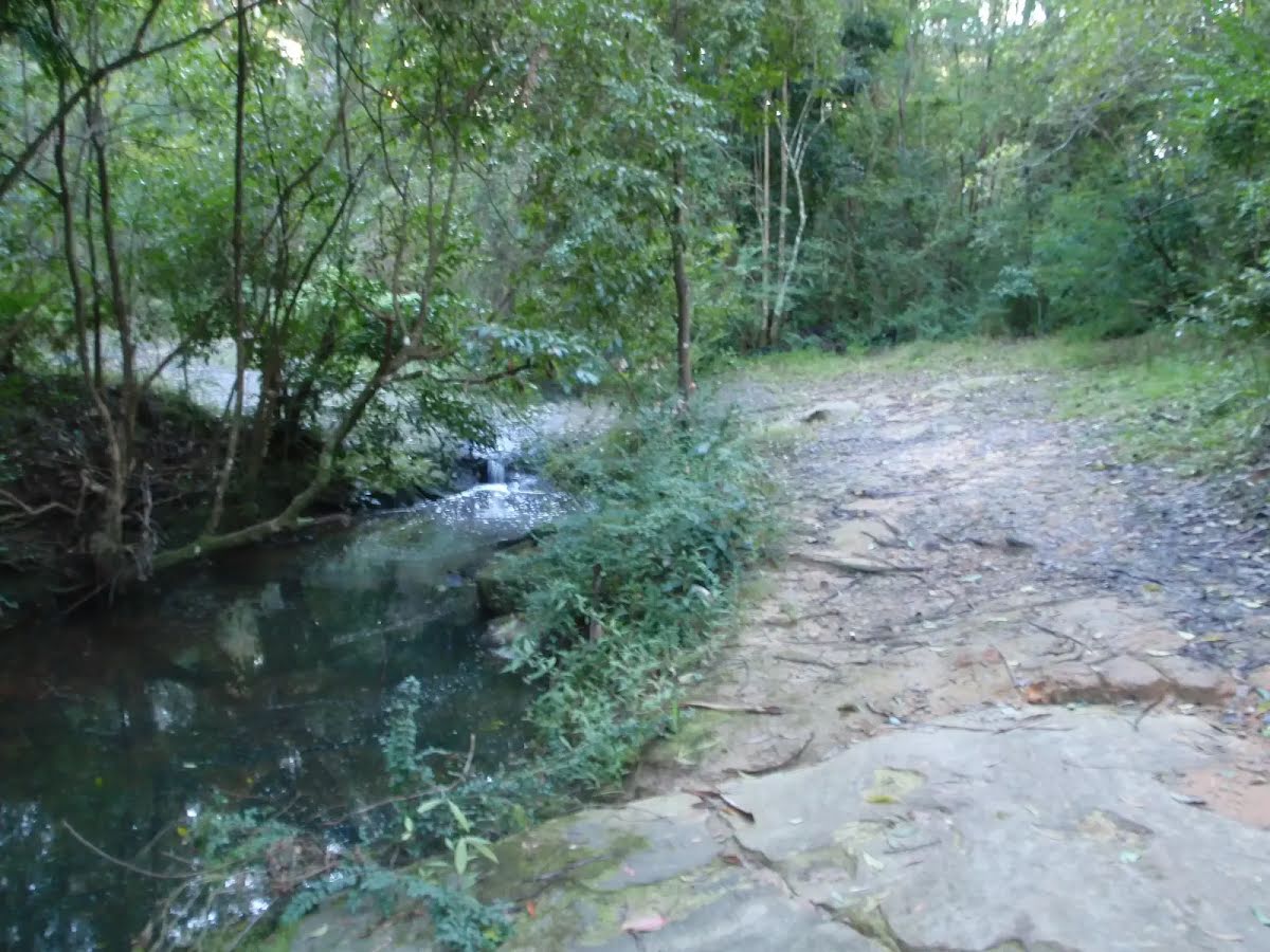
This walk is a popular track being close to roads, yet surrounded by nice tall trees. The walk heads down hill with tall eucalyptus surrounding the track and providing shade for most of the walk. Convenient access to the start of the walk from Gordon Railway station is another feature of this walk. Let us begin by acknowledging the Darug people, Traditional Custodians of the land on which we travel today, and pay our respects to their Elders past and present. 
Show all
Vale St entrance to Blackbutt Servicetrail. | Photo by admin, 2008.
Blackbutt Ck Track. | Photo by admin, 2008.
Blackbutt Servicetrail. | Photo by admin, 2008.
Track along Blackbutt Creek. | Photo by admin, 2008.
Blackbutt Servicetrail. | Photo by admin, 2008.
Sign on Blackbutt Servicetrail. | Photo by admin, 2008.
Blackbutt creek next to servicetrail. | Photo by admin, 2008.
Downloads GPX PDF

+
-
Safer Bushwalks
Tips on staying safe on track
Before you start any bushwalk ensure you;
• Tell someone you trust where you are going and what to do if you are overdue
• Have adequate equipment, supplies, skills & knowledge for the whole journey
• Consider the impact of weather forecasts, park/track closures & fire dangers
• Can respond to emergencies & call for help at any point
• Are healthy and fit enough for this journey
If not, change plans and stay safe. It is okay to delay and ask people for help.
+
-
Getting There
Transport options and directions
Start (-33.7560763,151.1542247)
Mode Bus Car (There is free parking available.) Train
DirectionsFrom Ryde Road, A3
  • Turn on to Pacific Highway Exit then drive for 240 m
  • Keep left and drive for another 50 m
  • Turn right onto Pacific Highway, A1 and drive for another 870 m
  • Turn left onto St Johns Avenue and drive for another 90 m
  • Turn slight left onto Wade Lane and drive for another 15 m
+
-
Track Notes
Turn by turn instructions & maps
Getting started
From the top of the station, this walk heads towards the shops, down the stairs and to the road next to Gordon Station bus depot.
From Gordon Station bus depot, this walk heads up the hill of St Johns Ave to the Pacific Highway. The walk crosses to the other side at the pedestrian crossing. From here, this walk follows the shop fronts up the Pacific Highway, then turns left onto Moree St. This street is followed until the walk turns right onto Vale St. This walk continues along Vale St for a short time to the intersection with the bush track on the left of the street.....
Turn map Directions & comments
Start.
Then head up the steps (about 6 m long)
There is a seat (about 25 m back from the start).
After another 45 m continue straight.
After another 60 m continue straight.
After another 20 m pass the "Pure Brew" (on your right).
After another 40 m pass the "Pottery Green Bakers" (25 m on your left).
T:+61 2 9499 8799
-16:00
Continue straight.
After another 105 m (at the intersection of Pacific Highway & Moree Street) turn left, to head along Moree Street (a residential road).
After another 40 m continue straight, to head along Moree Street.
After another 270 m (at the intersection of Moree Street & Hanson Way) continue straight, to head along Moree Street.
After another 340 m (at the intersection of Vale Street & Moree Street) turn right, to head along Vale Street.
After another 85 m (at the intersection of Vale Street & Blackbutt Creek Track) turn left, to head along Blackbutt Creek Track (a vehicle track).
After another 25 m continue straight, to head along Blackbutt Creek Track.
After another 30 m head through/around the gate.
After another 370 m veer left, to head along Blackbutt Creek Track.
After another 55 m continue straight, to head along Blackbutt Creek Track.
After another 40 m cross the ford.
After another 240 m continue straight, to head along Blackbutt Creek Track.
After another 1.1 km turn right, to head along Blackbutt Creek Track.
After another 10 m cross the ford.
After another 105 m come to a gate.
Turn around here and retrace the main route for 2.9 km to get back to the start.
+
-
Terrain
Know the Hills, grading & facilities

Blackbutt Creek Return


Grading
Class 3/6
Moderate track
Length 5.8 km
Time 2 h to 4 h
Quality of track Formed track, with some branches and other obstacles (3/6)
Gradient Short steep hills (3/6)
Signage Directional signs along the way (3/6)
Infrastructure Limited facilities, not all cliffs are fenced (3/6)
Experience Required No experience required (1/6)
Weather Weather generally has little impact on safety (1/6)

Some facilities on route
Seat: There is one -20 m back from the start.


Order of key facilities on route
ItemFrom StartName & link to notes
Seat
-20 m[seat]
+
-
Articles
Discover more details to thrive on track
Get more information
Wildwalks
+
-
Reviews & Feedback
Share your experience
+
-
Weather & Alerts
Check forecasts & closures
Show Full Weather
Alerts and Closures
Show all alerts
Show all alerts
Show all alerts
+
-
Other Journeys
Discover nearby and similar journeys
Some of the information and maps on this page was generated using data from the awesome © OpenStreetMap contributors.
Please see how you can embed some widgets, access data and other stuff to that might be helpful.