
| Start | (-34.0826271,151.1507731) |
| Mode | Car (There is free parking available.) Ferry |
| Directions | From Sir Bertram Stevens Drive
|
| Turn map | Directions & comments |
|---|---|
 |
|
 |
|
 |
|
 |
|
 |
|
 |
|
 |
After another 30 m (at the intersection of Beachcomber Avenue & Scarborough Street) turn right, to head along Beachcomber Avenue.
|
 |
|
 |
|
 |
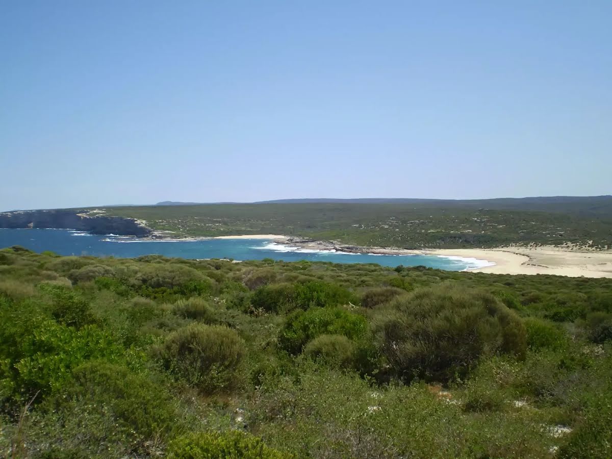
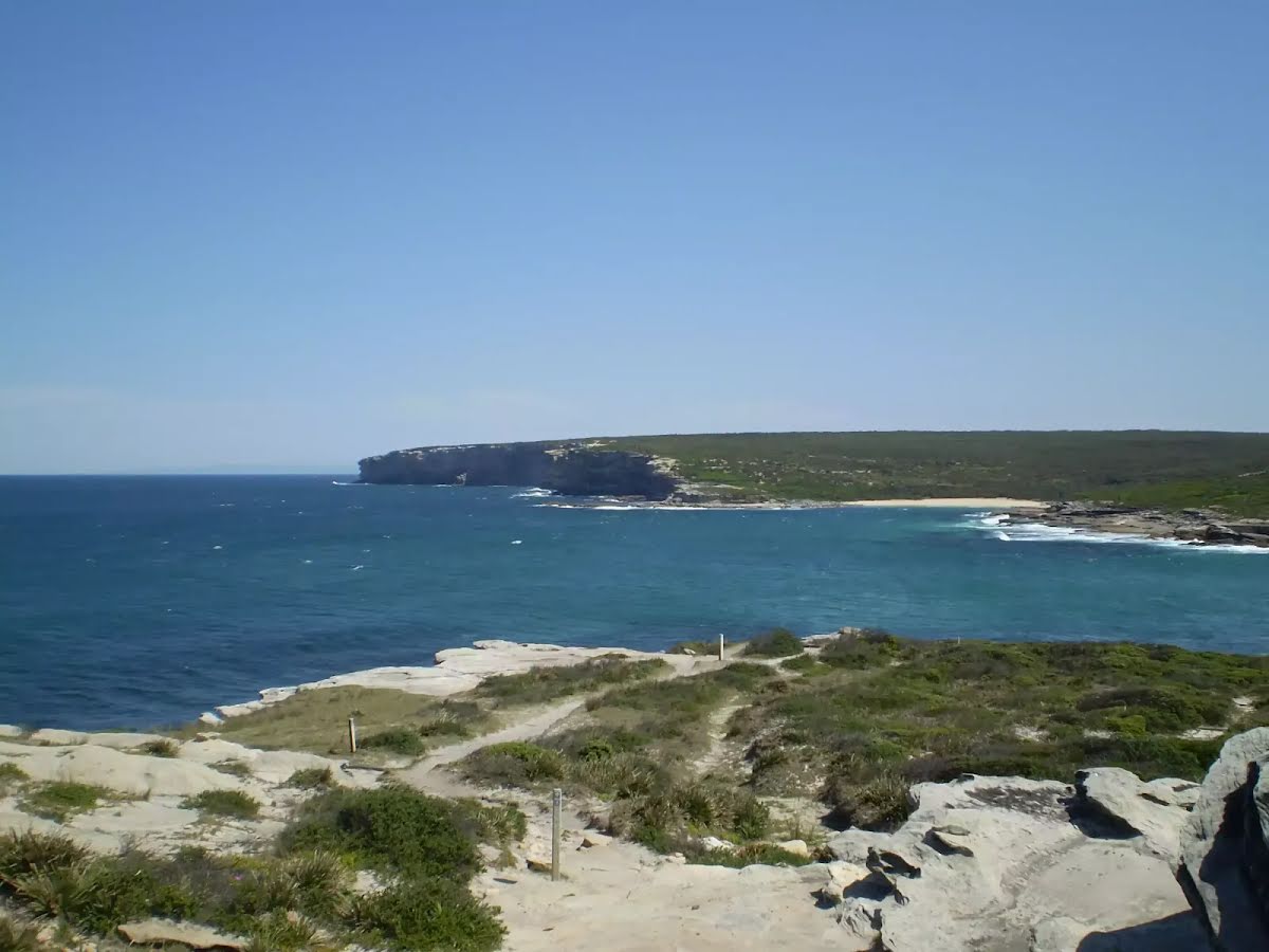
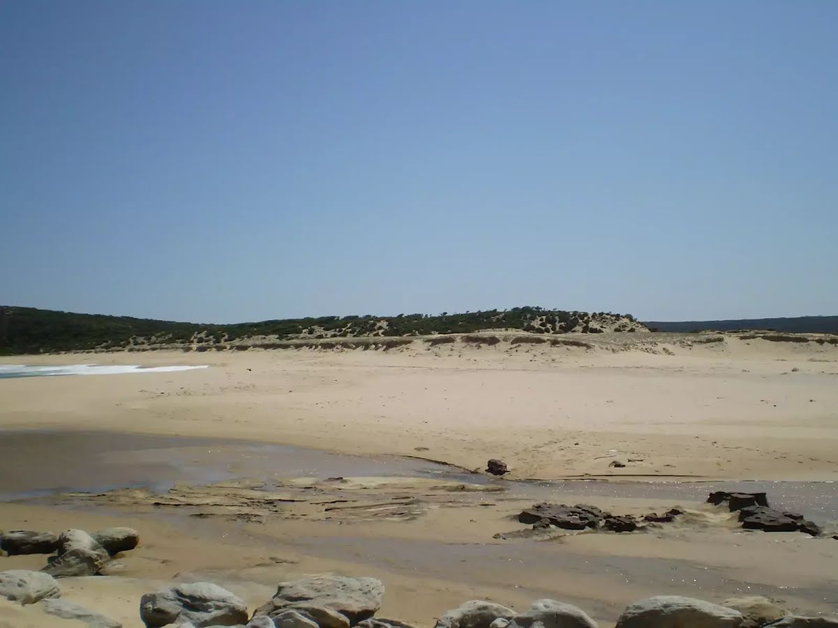
The starting point of an optional sidetrip. An optional side trip to East Marley Beach. To start this optional side trip continue straight here. On returning from this side trip turn around when you get back to this intersection. Details below.
|
 |
|
 |
|
 |
|
 |
|
 |
|
 |
|
 |
|
 |
|
 |
|
 |
|
 |
|
 |
|
 |
| Turn map | Directions & comments |
|---|---|
 |
|
 |

|
|
Class 3/6 Moderate track |
|---|---|
| Length | 10.8 km |
| Time | 3 h 30 min to 5 h |
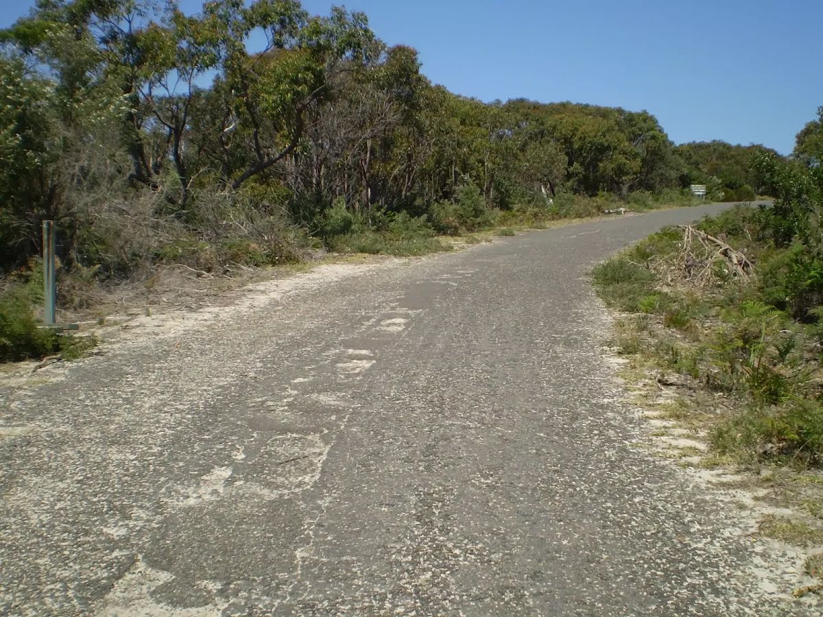
| Quality of track | Formed track, with some branches and other obstacles (3/6) |
| Gradient | Short steep hills (3/6) |
| Signage | Directional signs along the way (3/6) |
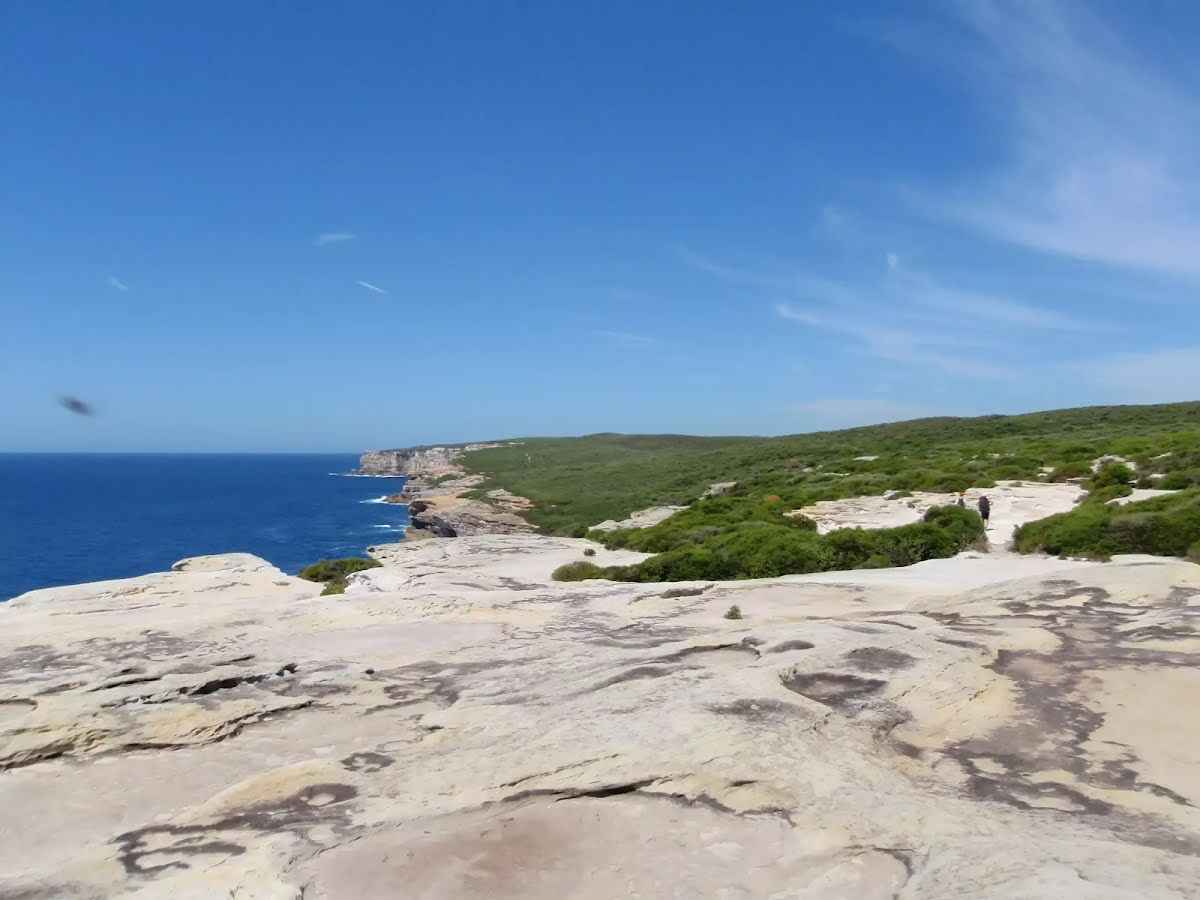
| Infrastructure | Limited facilities, not all cliffs are fenced (3/6) |
| Experience Required | Some bushwalking experience recommended (3/6) |
| Weather | Weather generally has little impact on safety (1/6) |
| Item | From Start | Name & link to notes |
|---|---|---|
Shelter
| 100 m | Ferry Shelter |
Toilet
| 215 m | [toilet] |
Seat
| 255 m | [seat] |
Toilet
| 1.7 km | [toilet] |