


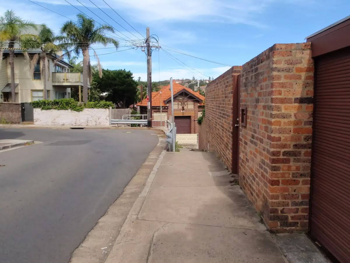
| Start | At the intersection of Marine Parade & Military Road (-33.8433589,151.2818667) |
| Mode | Bus Car (There is free parking available.) Ferry |
| Directions | From Cahill Expressway, M1, Sydney.
|
| Turn map | Directions & comments |
|---|---|
 |
|
 |
|
 |
|
 |
|
 |
|
 |
|
 |
|
 |
|
 |
|
 |
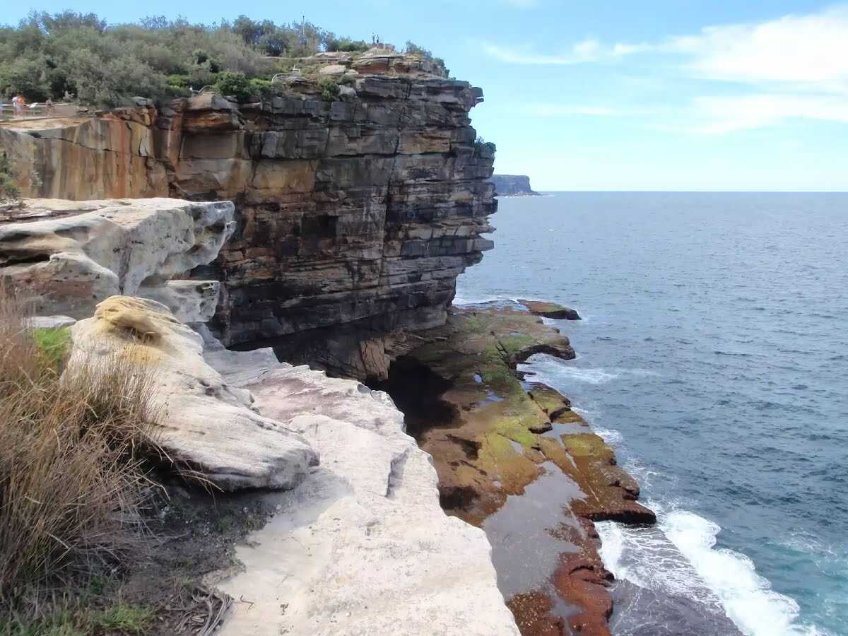
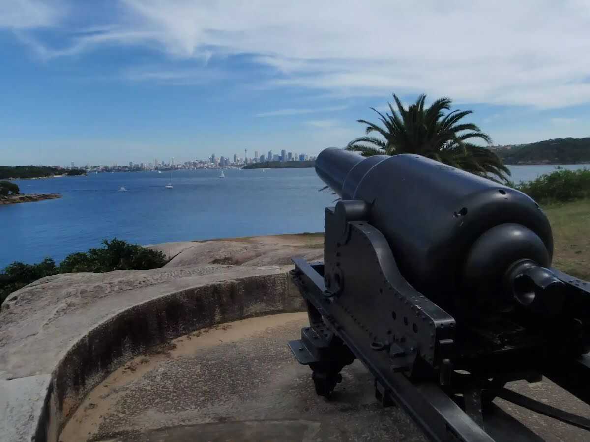
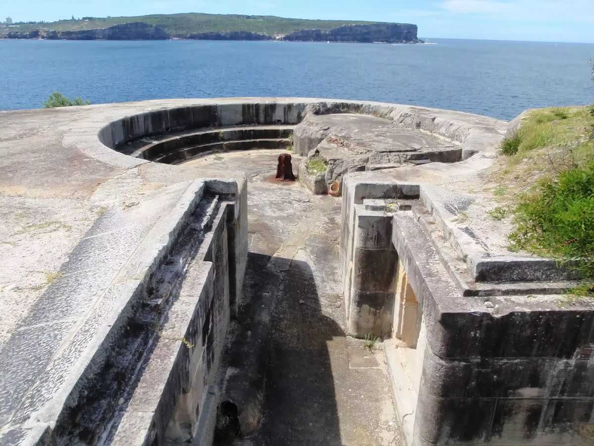
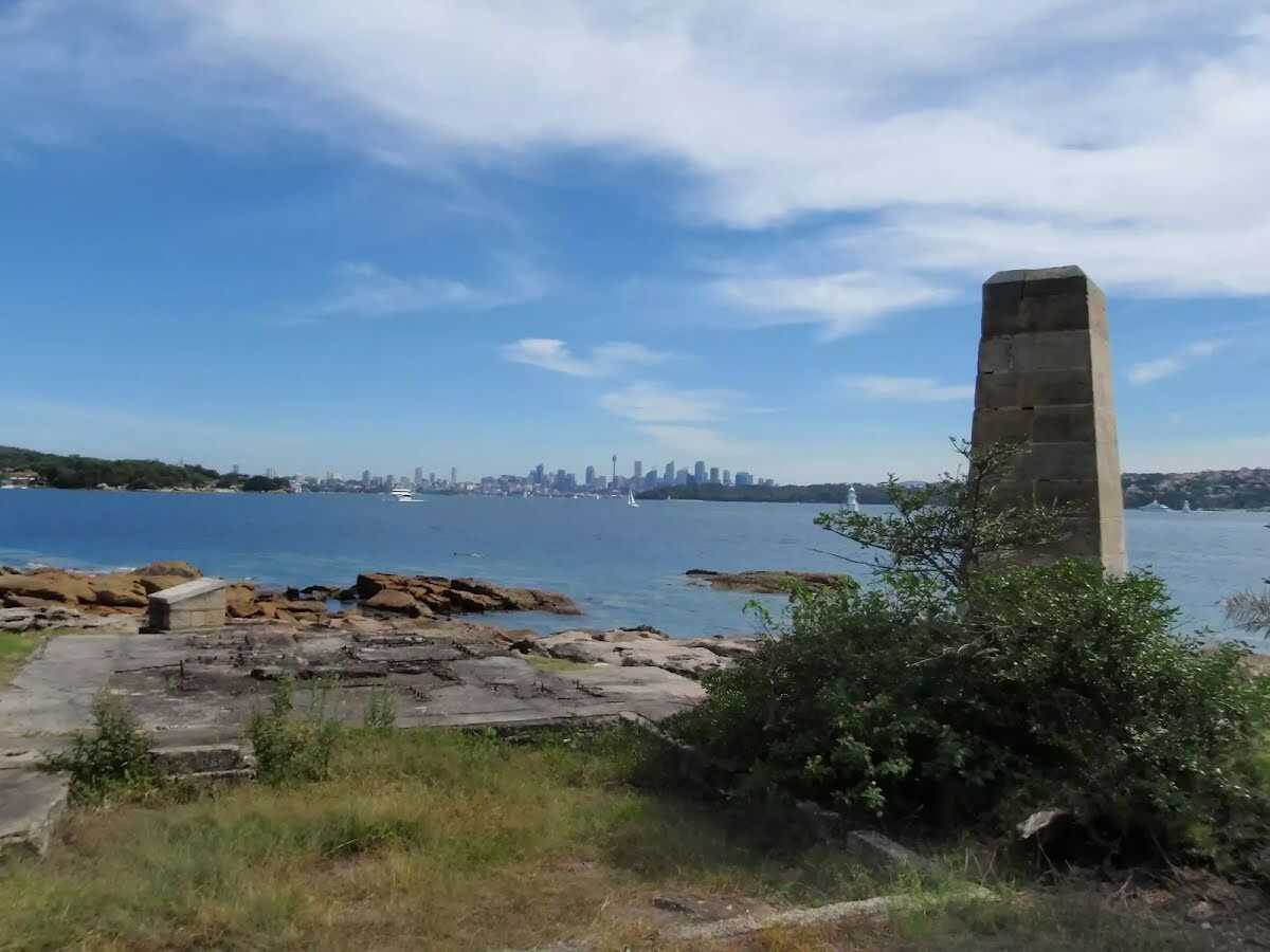
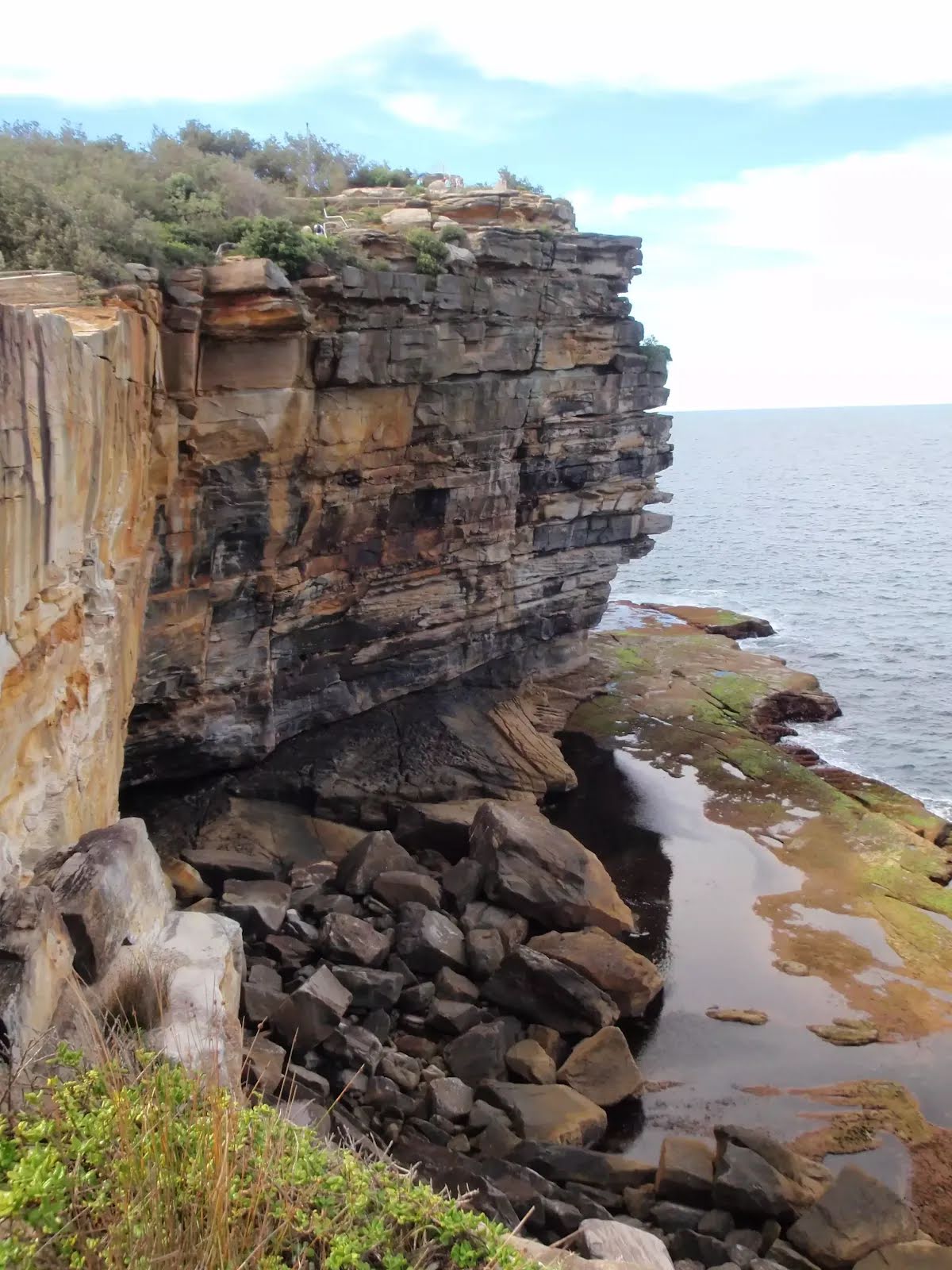
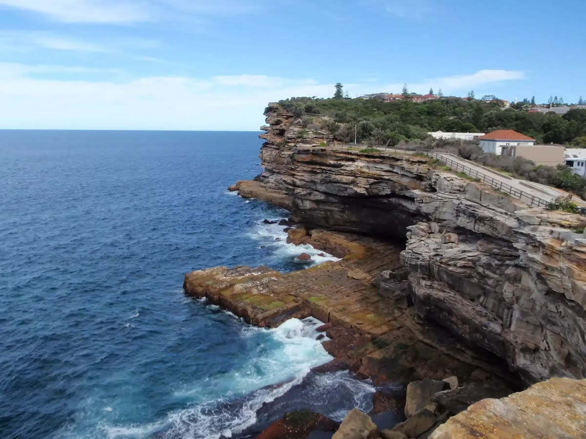
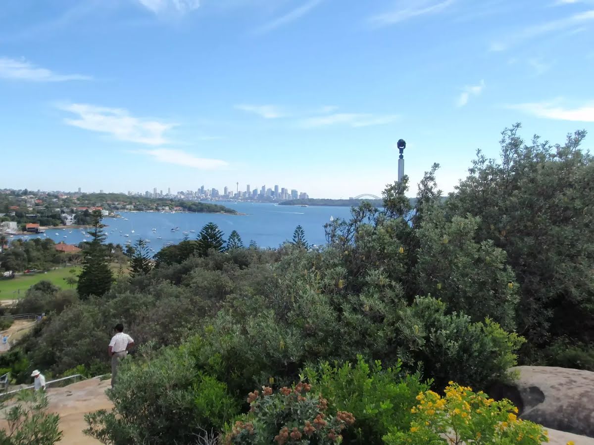
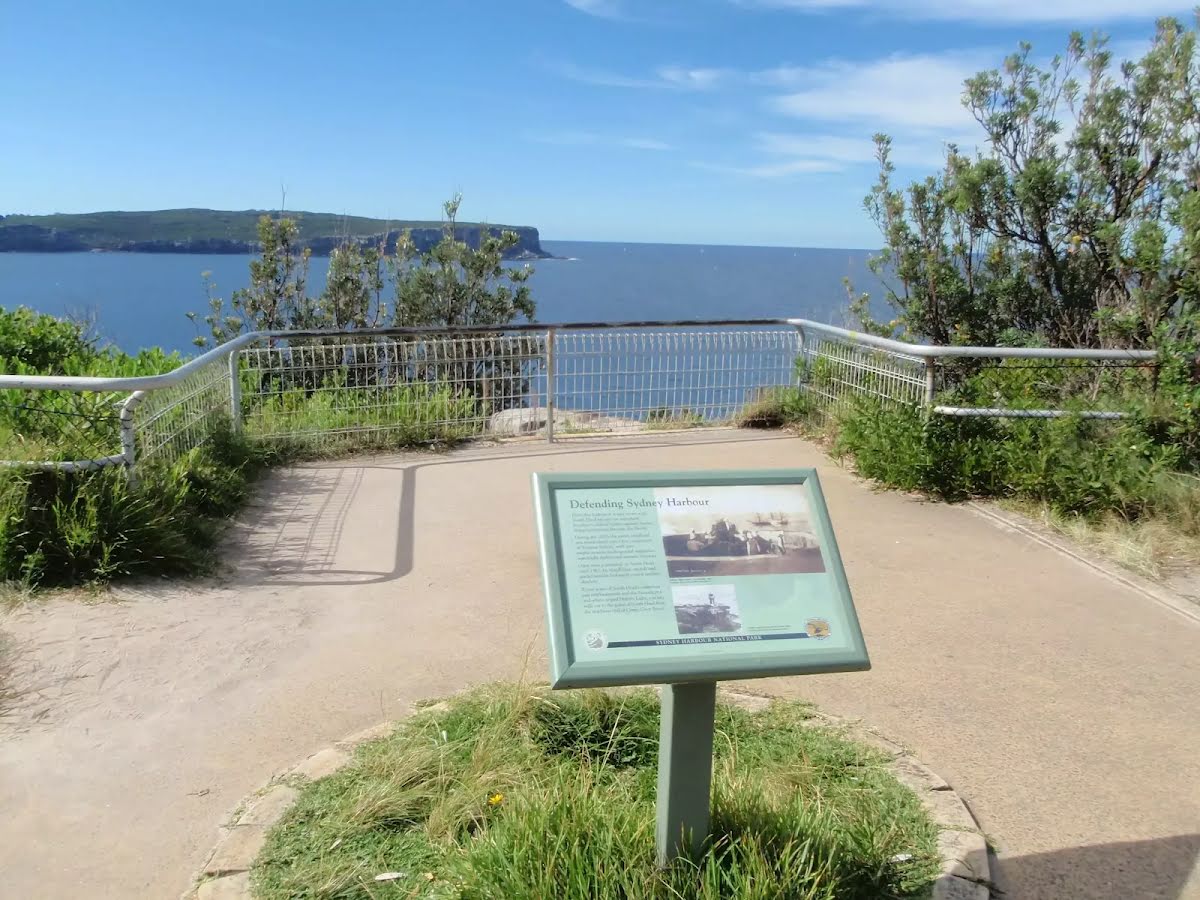
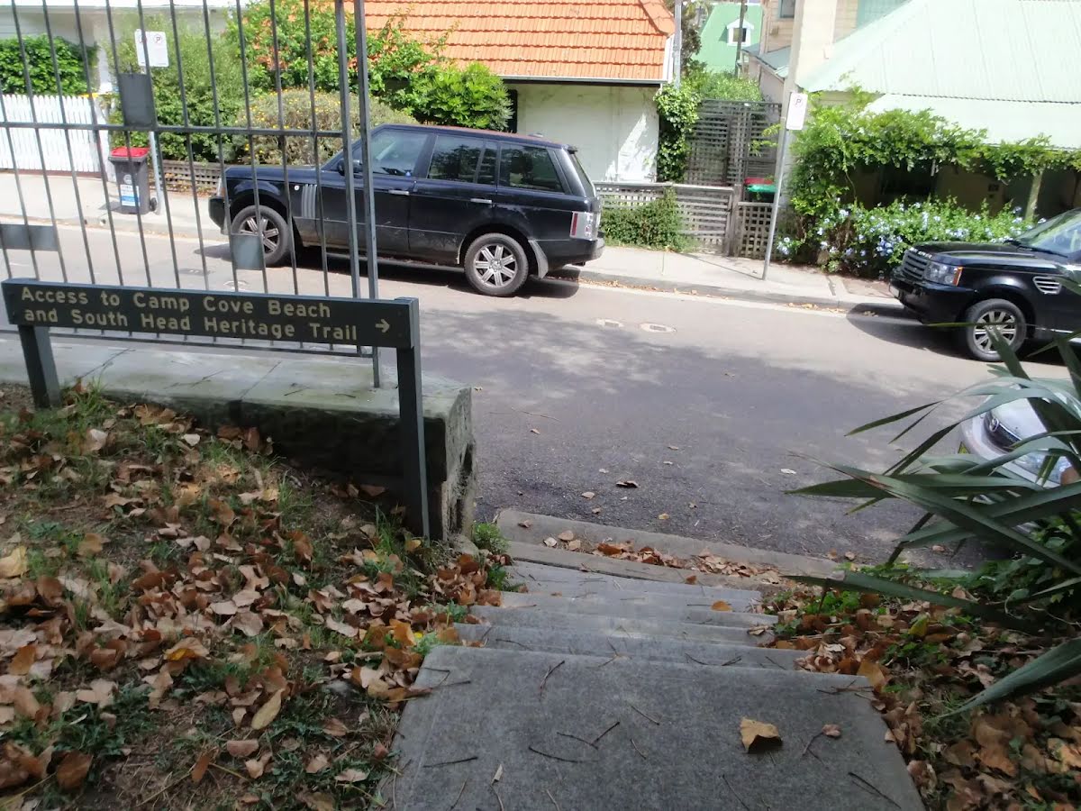
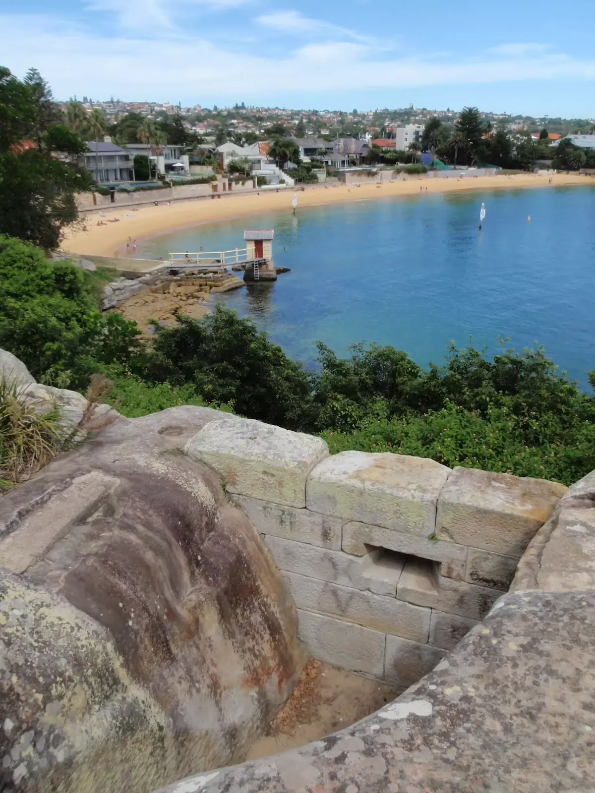
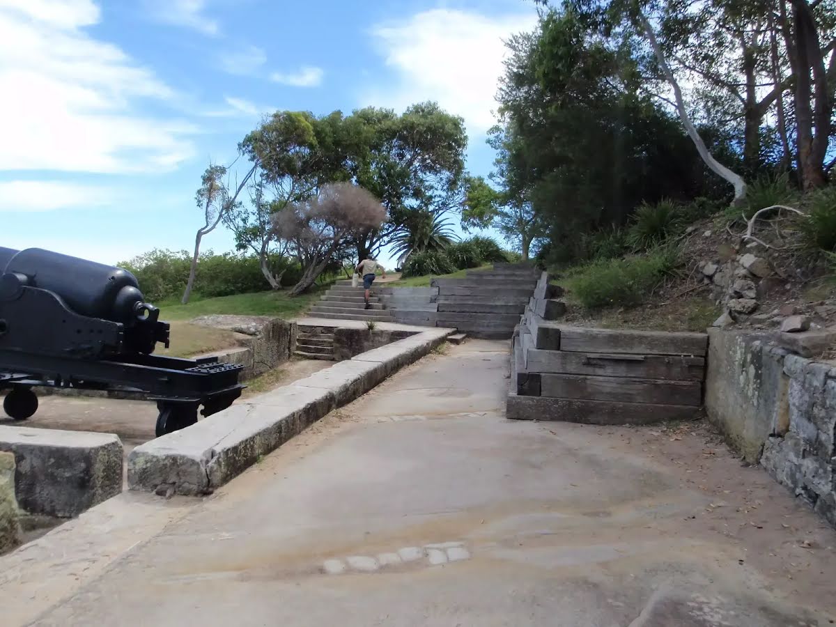
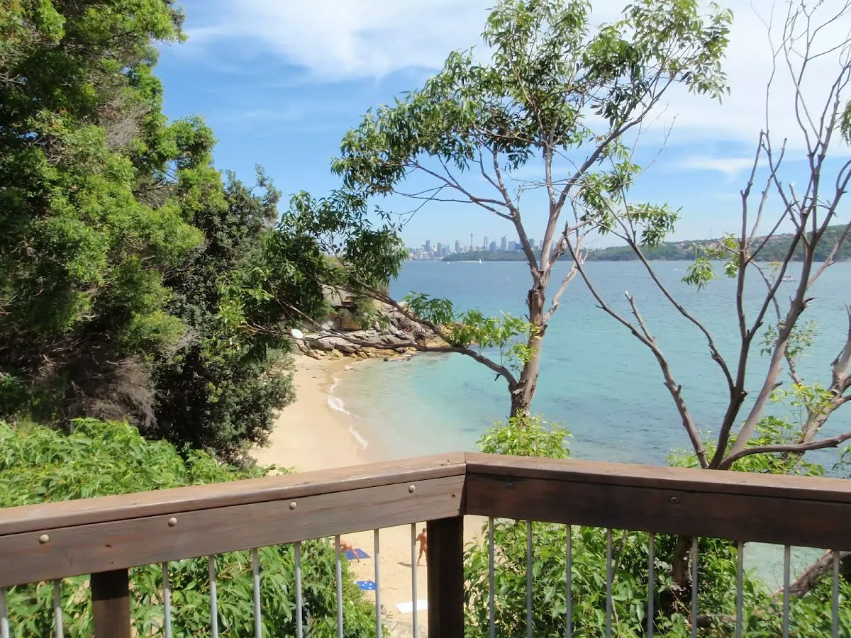
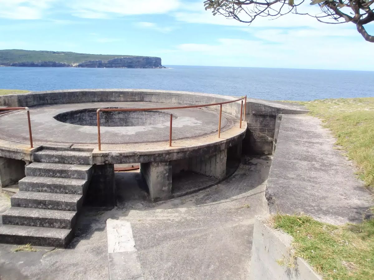
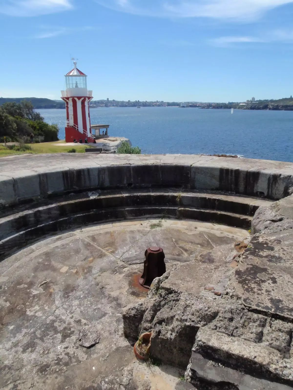
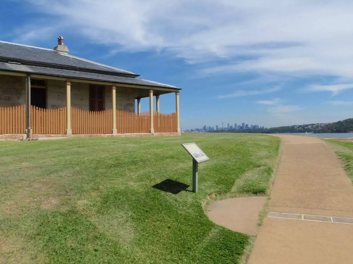
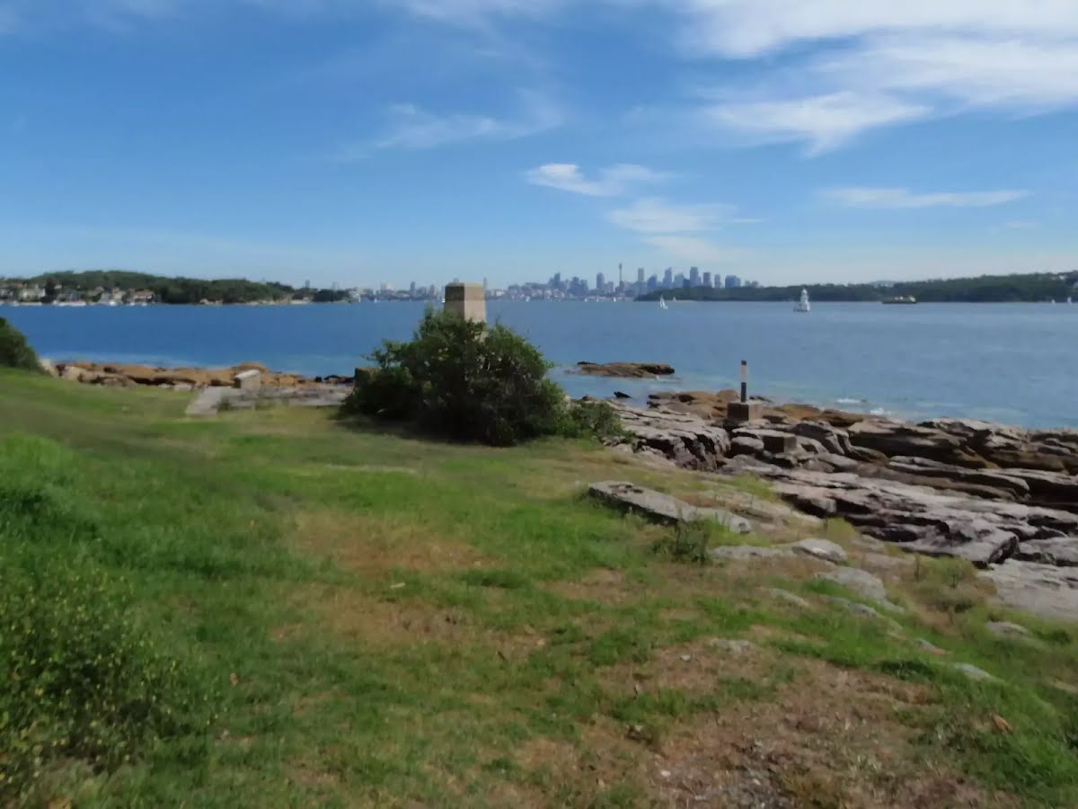
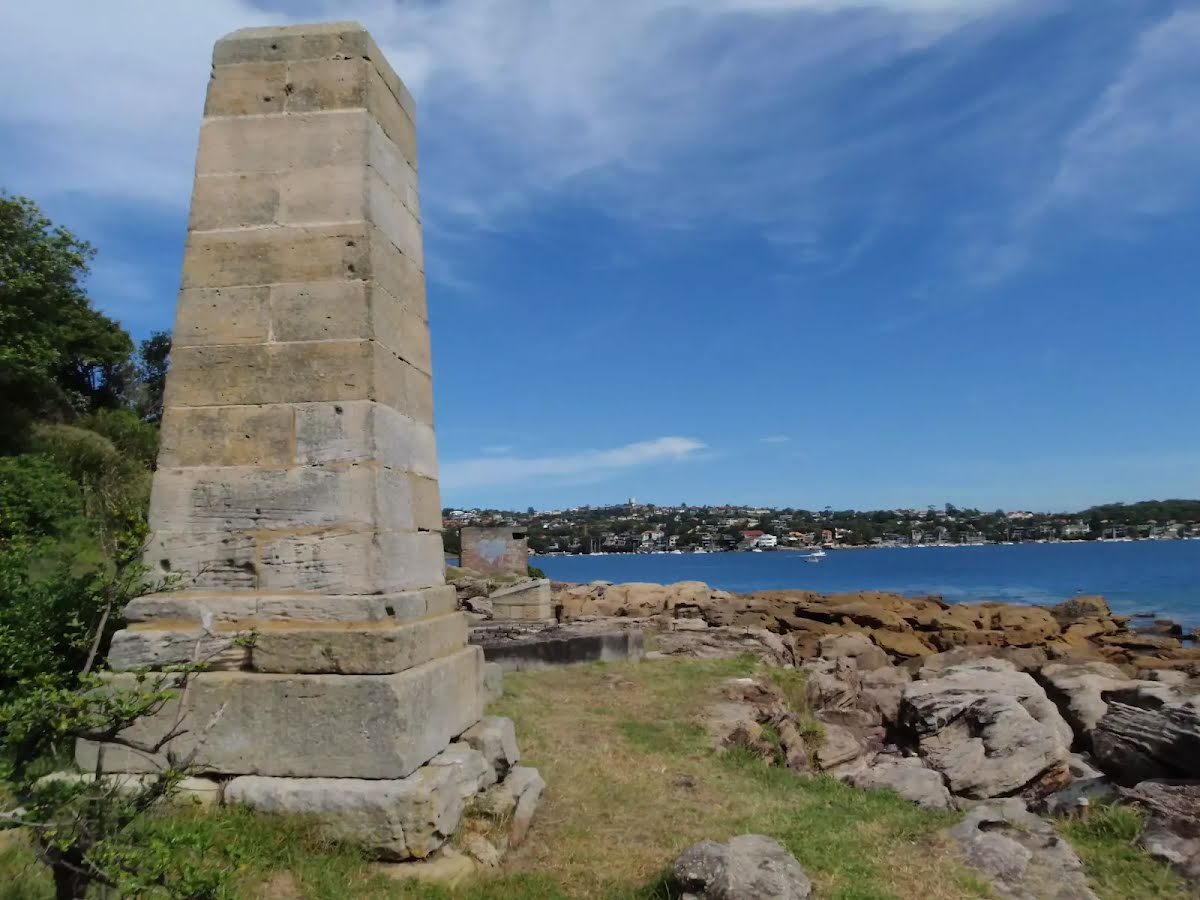
The starting point of an optional sidetrip. An optional side trip to Gun Emplacement Lookout. To start this optional side trip veer right here. On returning from this side trip error >360 when you get back to this intersection. Details below.
|
 |
|
 |
|
 |
|
 |
|
 |
|
 |
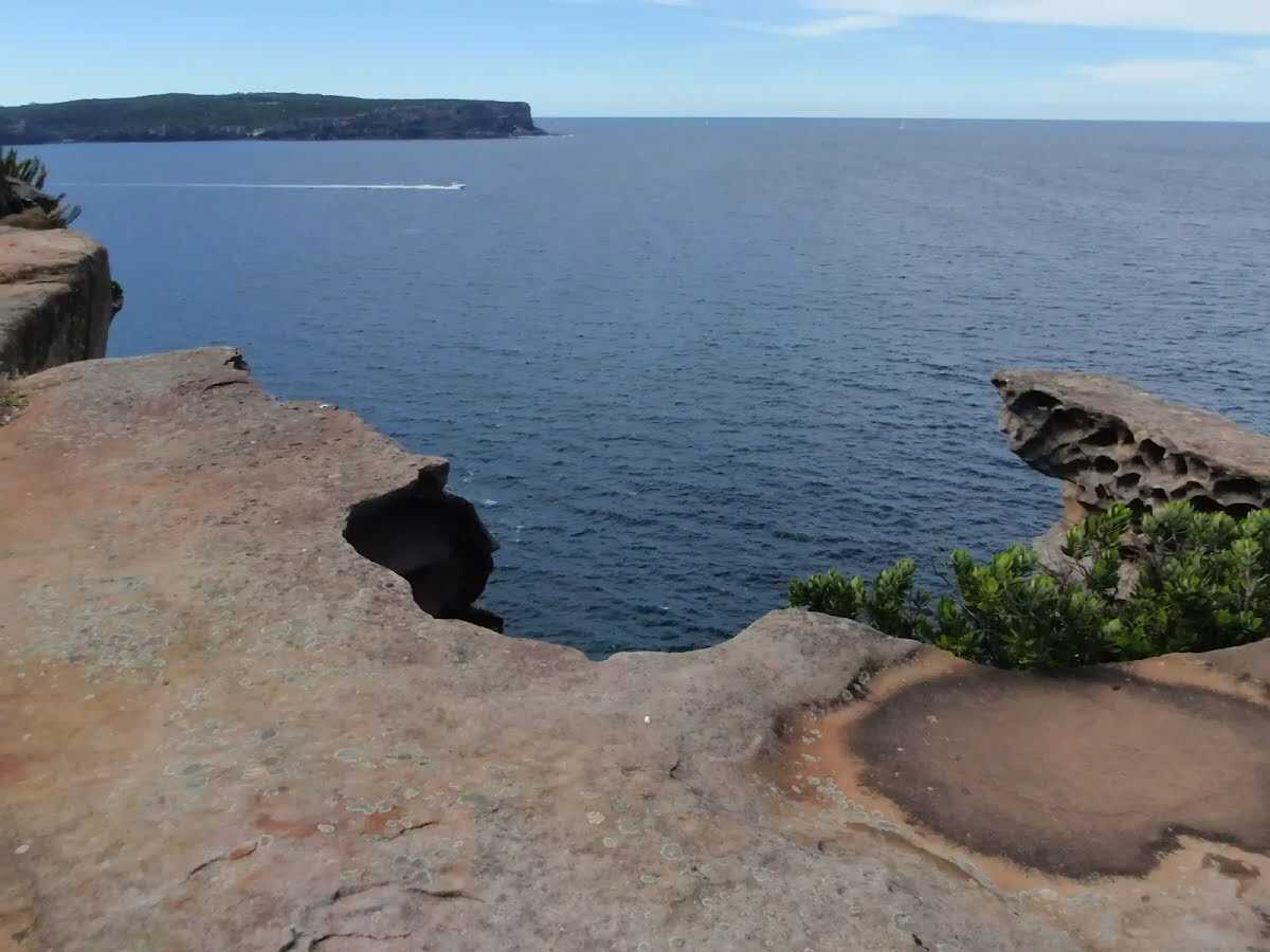
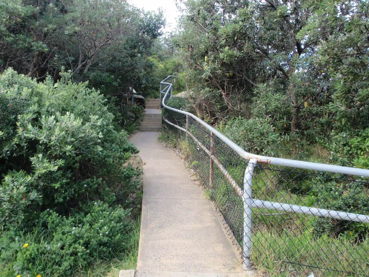
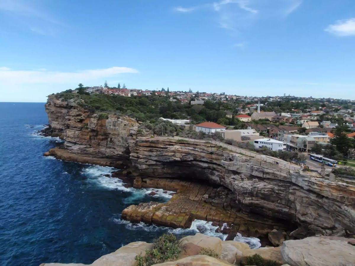
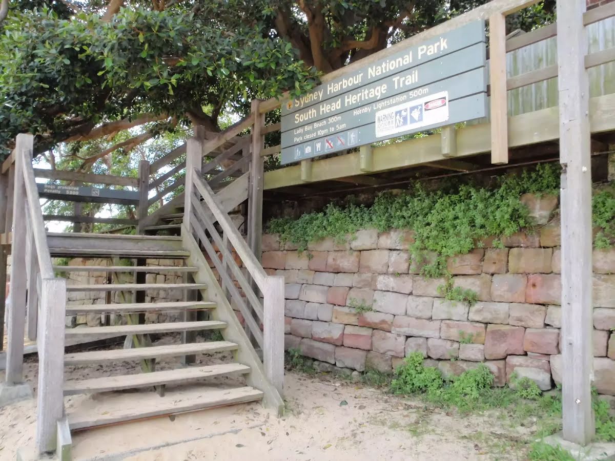
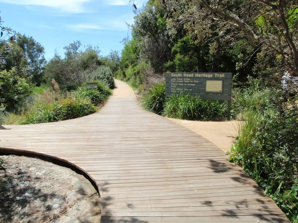
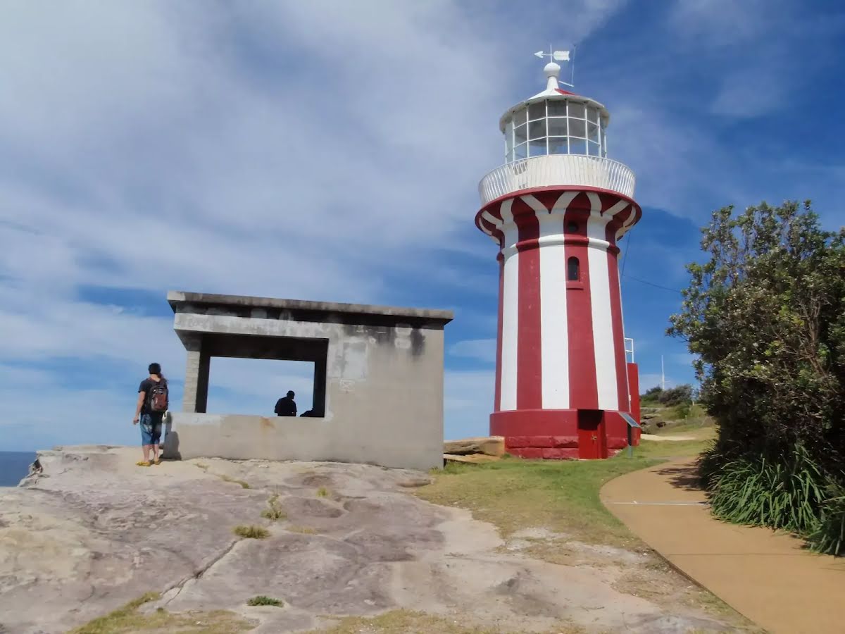
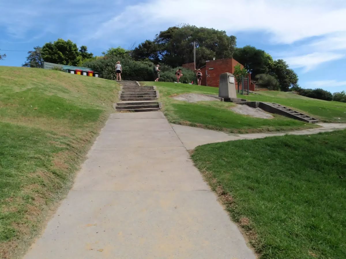
At the intersection of South Head Heritage Trail & South Head Lighthouse Walk continue straight, to head along South Head Heritage Trail (a footpath).
|
 |
At the intersection of South Head Lighthouse Walk & South Head Heritage Trail continue straight, to head along South Head Lighthouse Walk (a service road).
|
 |
|
 |
After another 8 m (at the intersection of South Head Lighthouse Walk & Hornby Light Road) continue straight, to head along South Head Lighthouse Walk.
|
 |
|
 |
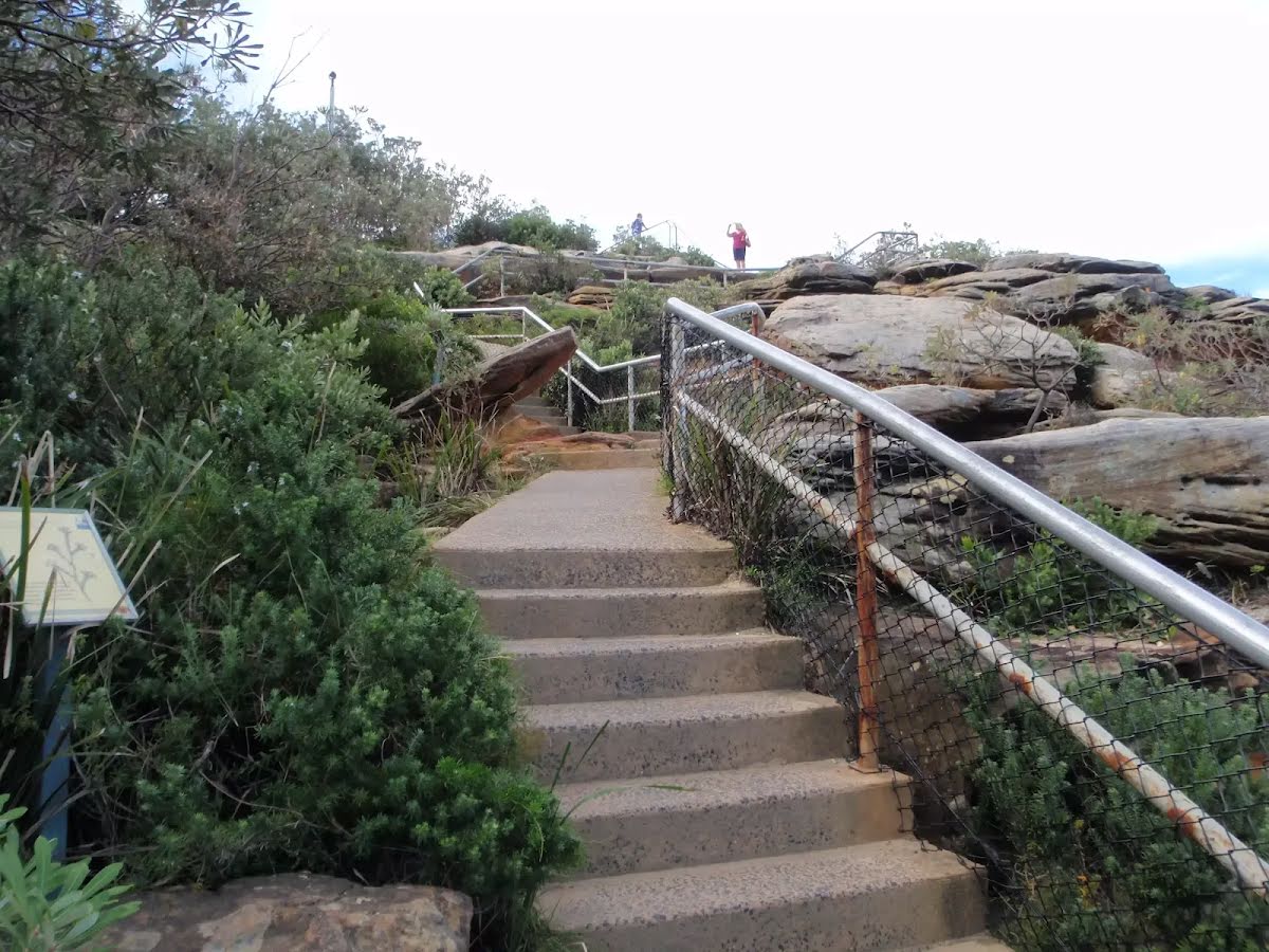
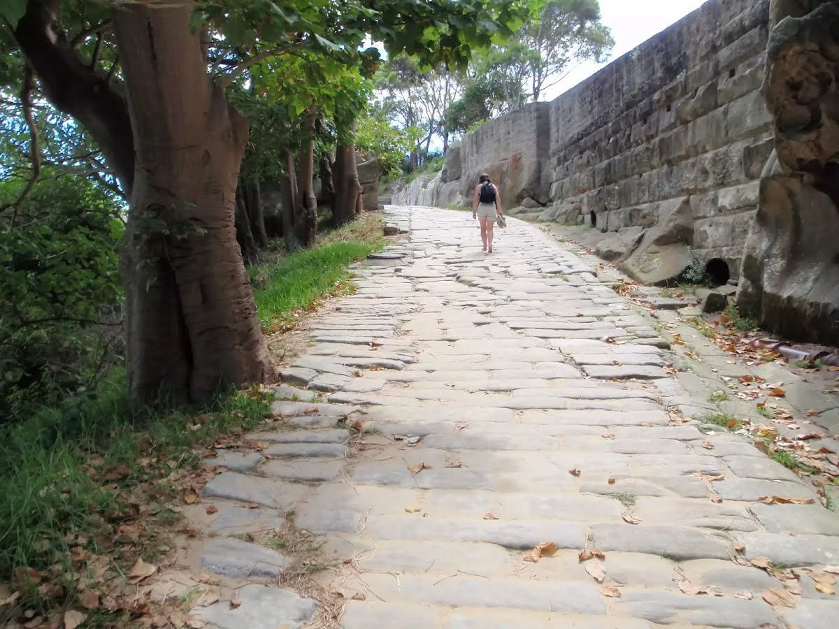
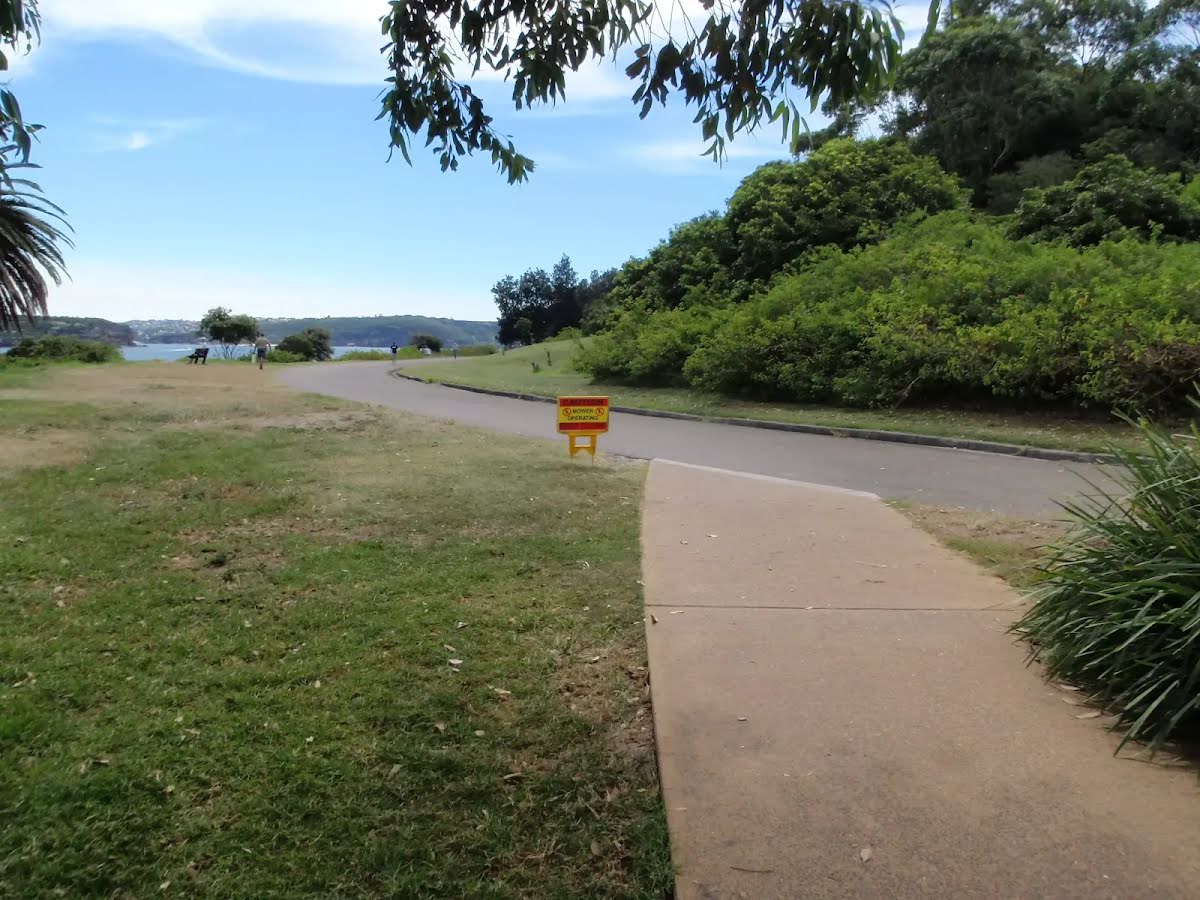
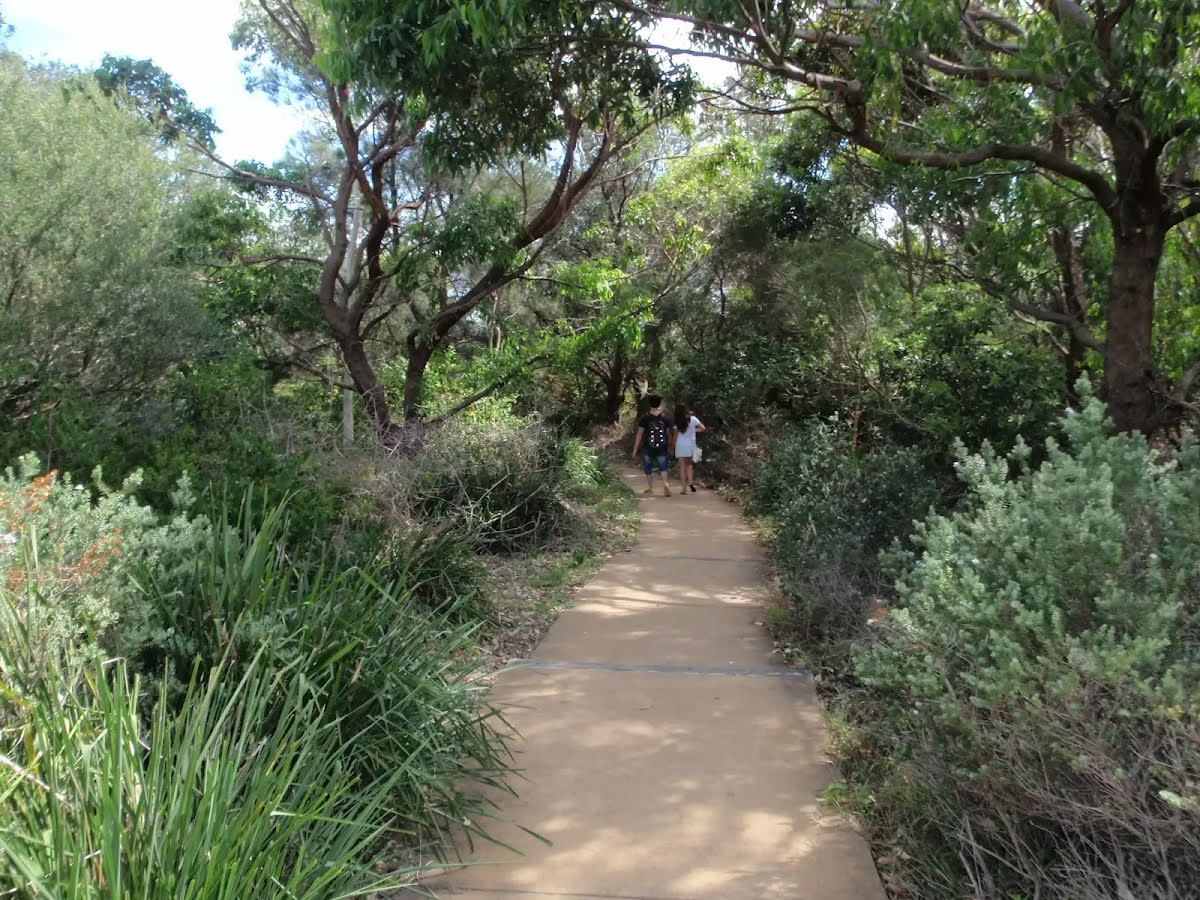
After another 85 m (from the South Head Heritage Trail) continue straight, to head along South Head Heritage Trail.
|
 |
|
 |
|
 |
|
 |
|
 |
|
 |
|
 |
|
 |
| Turn map | Directions & comments |
|---|---|
 |
|
 |

|
|
Class 4/6 Hard track |
|---|---|
| Length | 4 km |
| Time | 1 h 30 min to 1 h 45 min |
| Quality of track | Clear and well formed track or trail (2/6) |
| Gradient | Very steep (4/6) |
| Signage | Clearly signposted (1/6) |
| Infrastructure | Generally useful facilities (such as fenced cliffs and seats) (1/6) |
| Experience Required | No experience required (1/6) |
| Weather | Weather generally has little impact on safety (1/6) |
| Item | From Start | Name & link to notes |
|---|---|---|
Seat
| 35 m | [seat] |
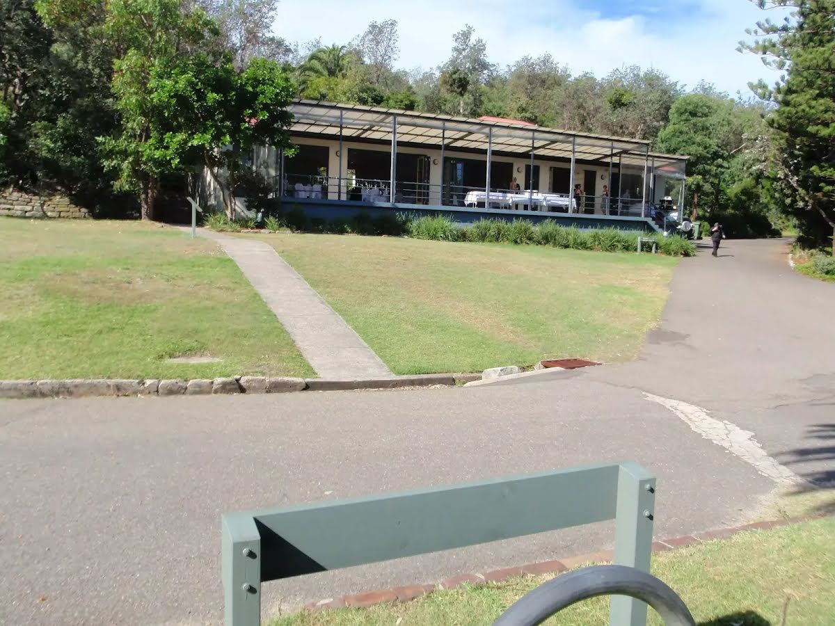
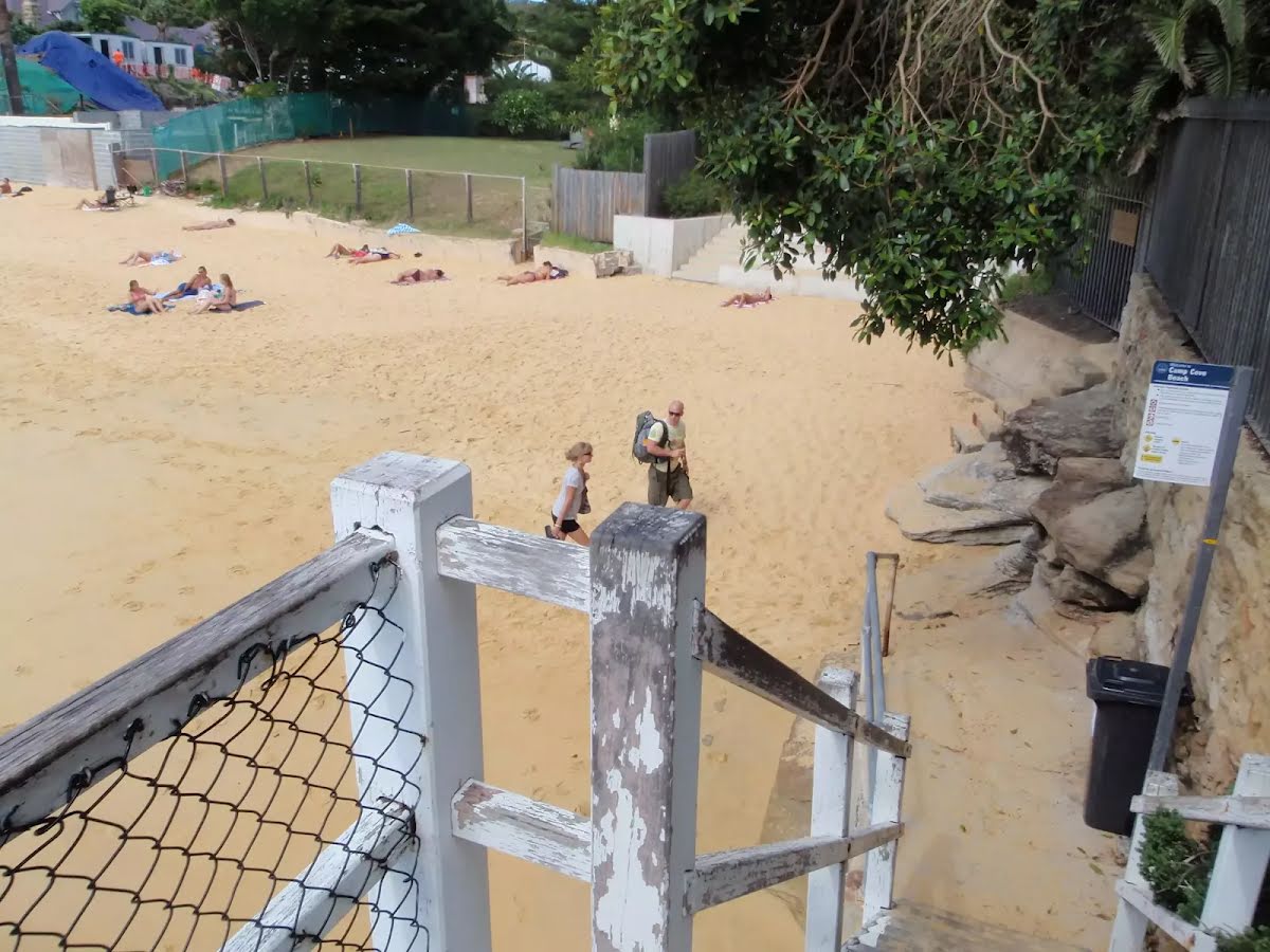
Toilet
| 160 m | [toilet] |
Toilet
| 870 m | [toilet] |
Toilet
| 1.3 km | [toilet] |
Seat
| 1.4 km | [seat] |
Seat
| 1.5 km | [seat] |
Toilet
| 1.6 km | [toilet] |
Toilet
| 3.2 km | [toilet] |