| Turn map |
Directions & comments |
|
|

Start.

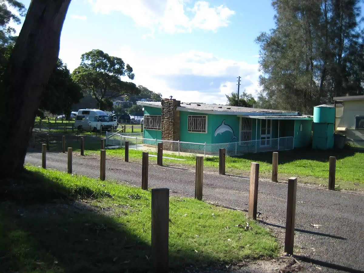
Find the Bonnie Vale campground at the start.

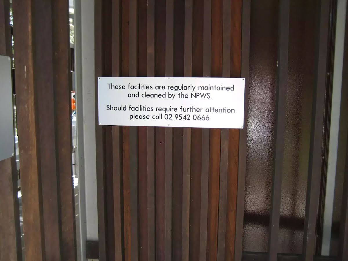
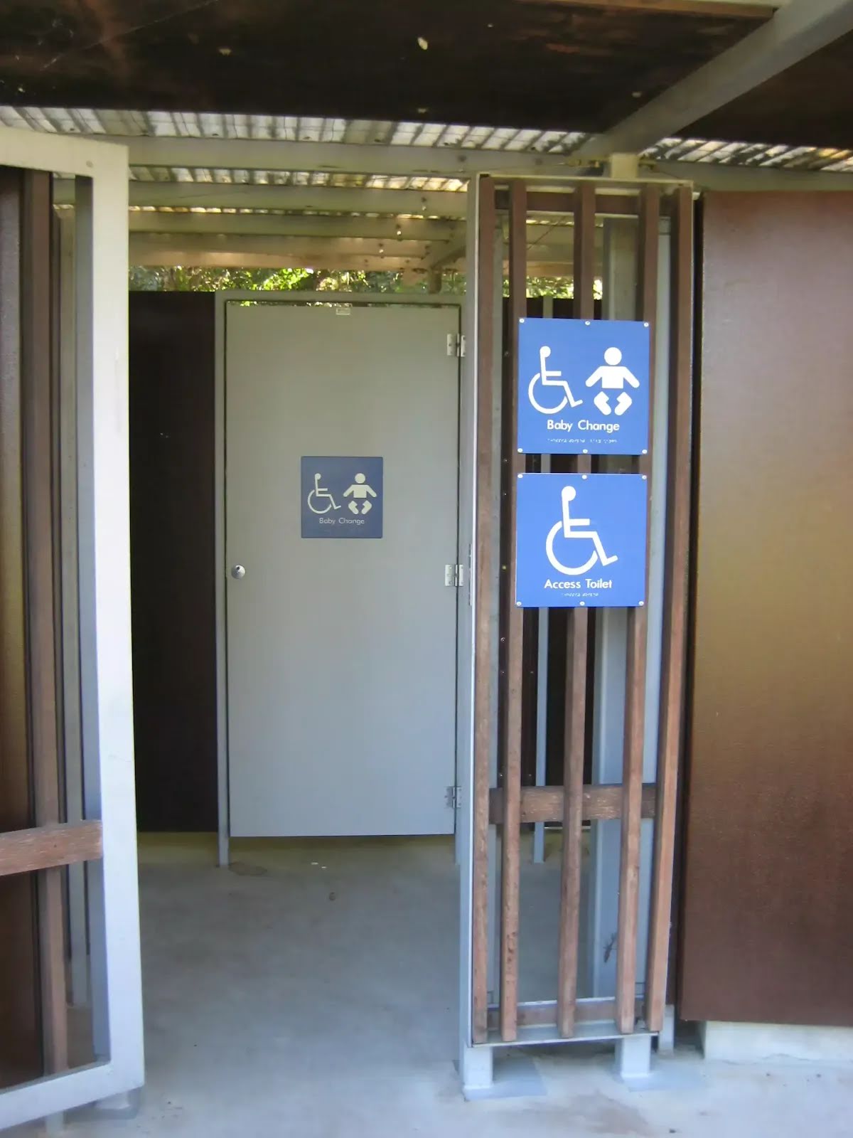
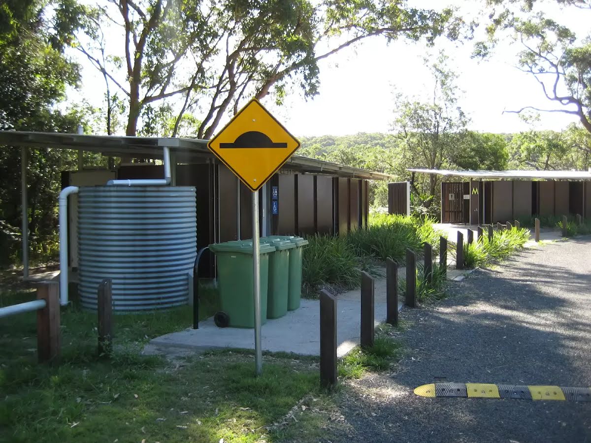
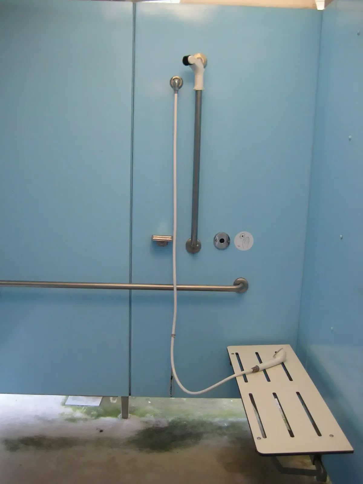
After 55 m pass the toilet (about 20 m ahead).
|
|
|

Turn left.

After another 10 m head through/around the gate.

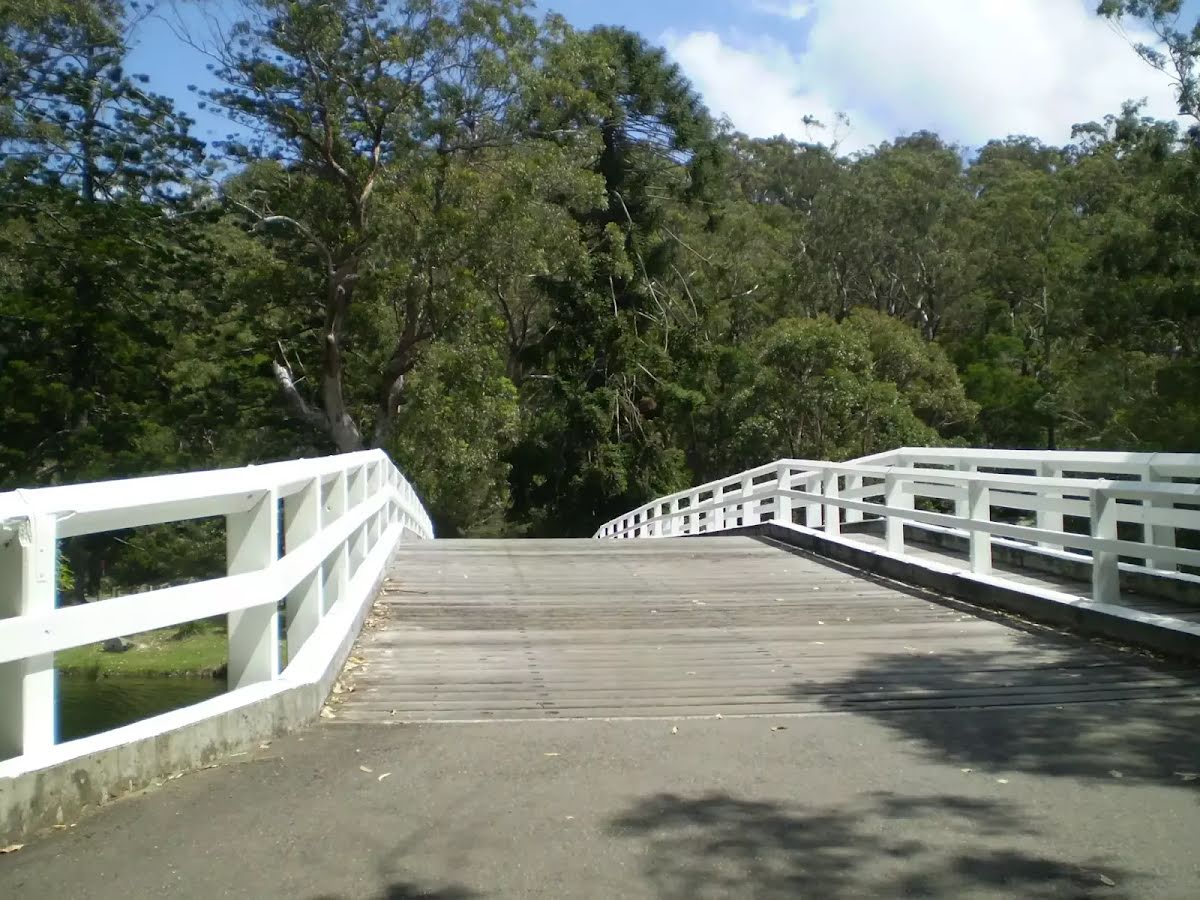
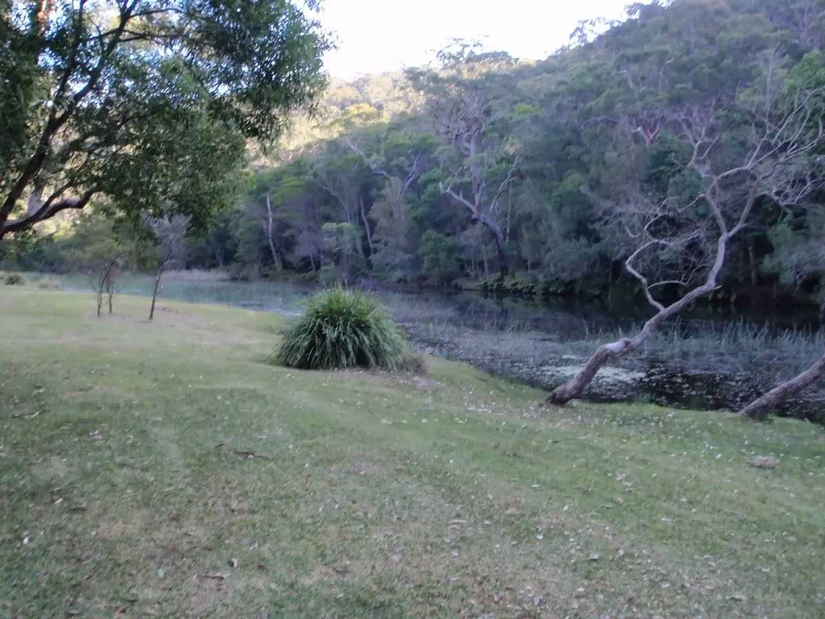
After another 410 m cross the bridge (about 20 m long)
|
|
|
After another 105 m turn left.
|
|
|
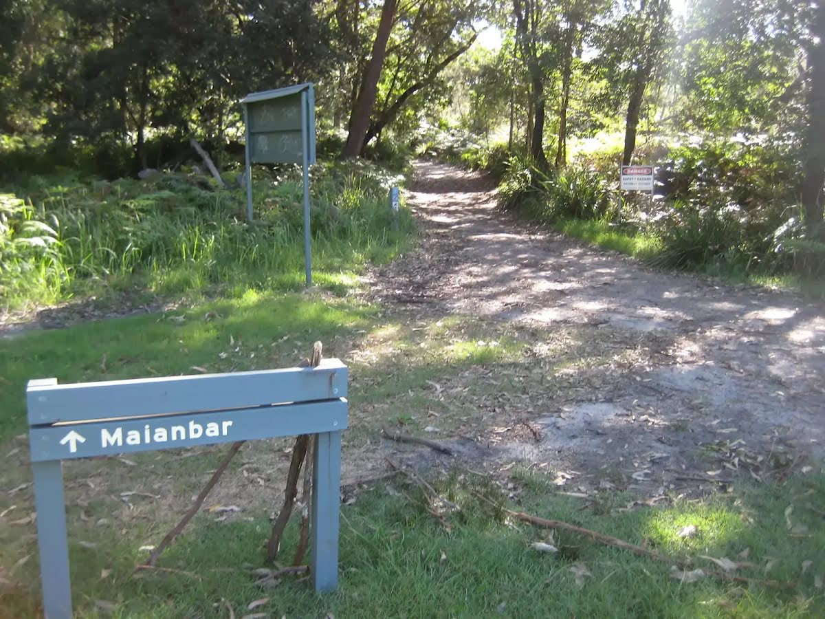
After another 235 m (from the Maianbar Road) turn left, to head along Maianbar Road (a highway|tertiary).
|
|
|

After another 370 m (at the intersection of Maianbar Road & King Street) continue straight, to head along Maianbar Road.
|
|
|
After another 95 m (at the intersection of Maianbar Road & Park Road) continue straight, to head along Maianbar Road.
|
|
|
After another 90 m (at the intersection of Maianbar Road & Wallis Street) continue straight, to head along Maianbar Road.
|
|
|
After another 95 m (at the intersection of Maianbar Road & Fishermans Bay Road) continue straight, to head along Maianbar Road.
|
|
|

After another 225 m (at the intersection of Red Jacks Firetrail & Maianbar Road) turn right, to head along Red Jacks Firetrail (a vehicle track).
After another 7 m head through/around the gate.
|
|
|
After another 250 m (from the Red Jacks Firetrail) continue straight (a walking track).
|
|
|
After another 580 m continue straight.
|
|
|
After another 370 m (at the intersection of Saddle Gully Track & Costens Point Firetrail) continue straight, to head along Saddle Gully Track.
|
|
|
After another 95 m (from the Saddle Gully Track) continue straight, to head along Saddle Gully Track.
|
|
|

After another 1.6 km (from the Saddle Gully Track) veer right, to head along Saddle Gully Track.

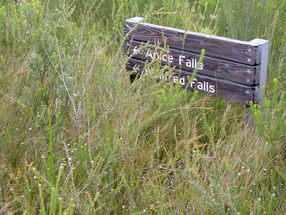
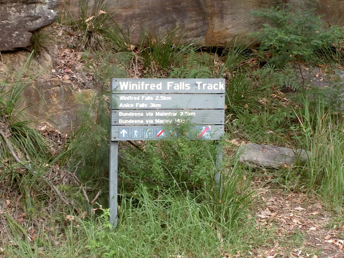
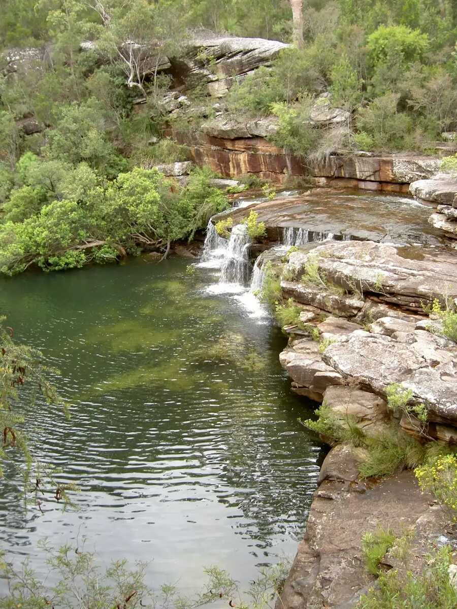
After another 1.8 km find the "Anice Falls" (9 m on your right).
|
|
|
After another 295 m (at the intersection of Mount Bass Trail & Saddle Gully Track) continue straight.
|
|
|

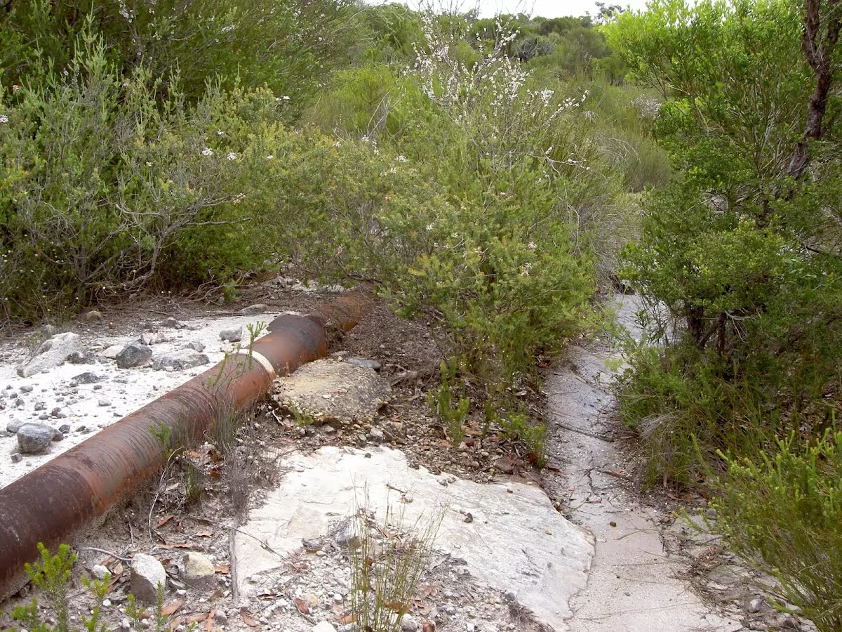
After another 680 m cross the ford (about 8 m long)
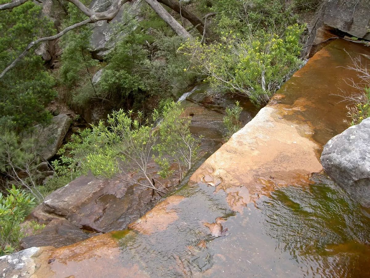
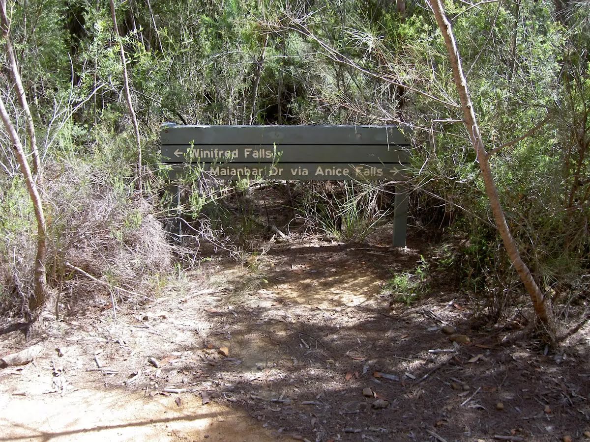
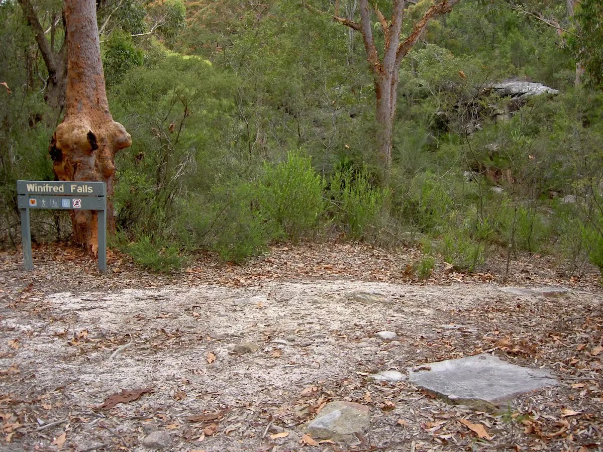
After another 85 m find the "Winifred Falls" (about 75 m ahead).
|
|
|
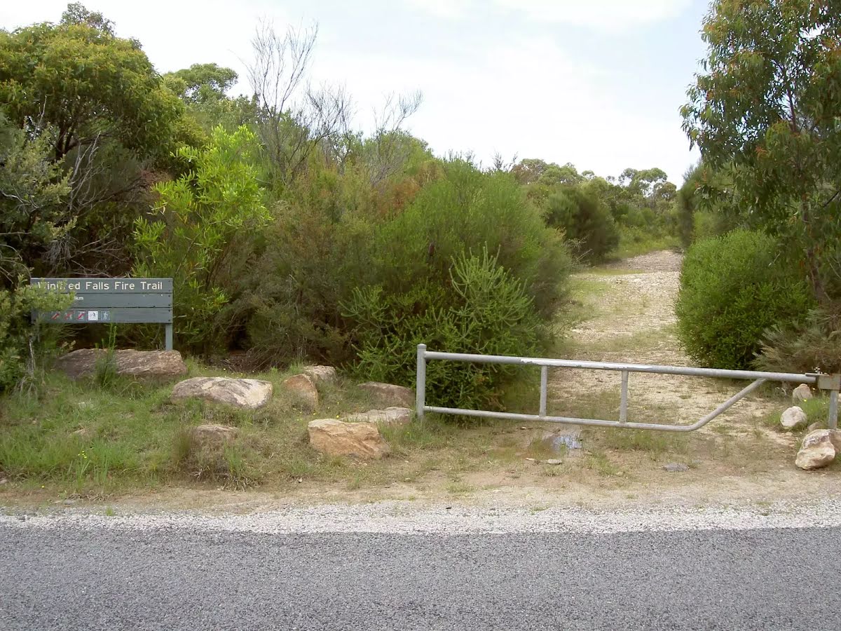
At the intersection of Winifred Falls Fire Trail & Winifred falls Trail turn left, to head along Winifred Falls Fire Trail.
After another 1.4 km head through/around the gate.
|
|
|
At the intersection of Winifred Falls Fire Trail & Warumbul Road continue straight, to head along Winifred Falls Fire Trail.
After another 20 m head through/around the gate.
|
|
|
After another 1.2 km (from the Winifred Falls Fire Trail) continue straight, to head along Winifred Falls Fire Trail.

After another 280 m come to the viewpoint.
|
|
|
After another 750 m (at the intersection of Sir Bertram Stevens Drive & Winifred Falls Fire Trail) turn right, to head along Sir Bertram Stevens Drive (a road).
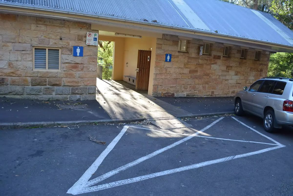
After another 25 m pass the toilet (about 25 m ahead).

At the intersection of Lady Carrington Drive & Sir Bertram Stevens Drive turn sharp left, to head along Lady Carrington Drive (a service road).

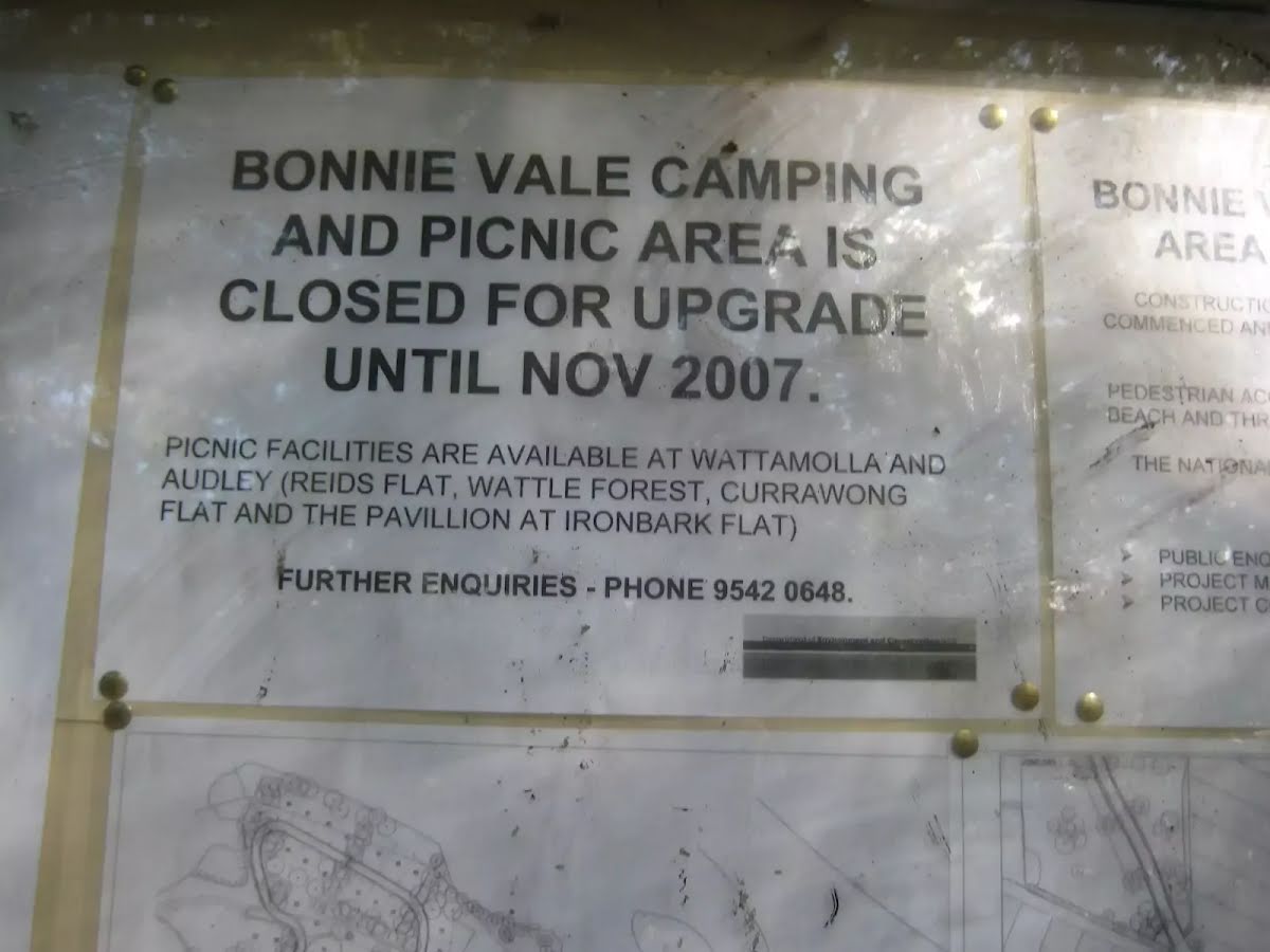
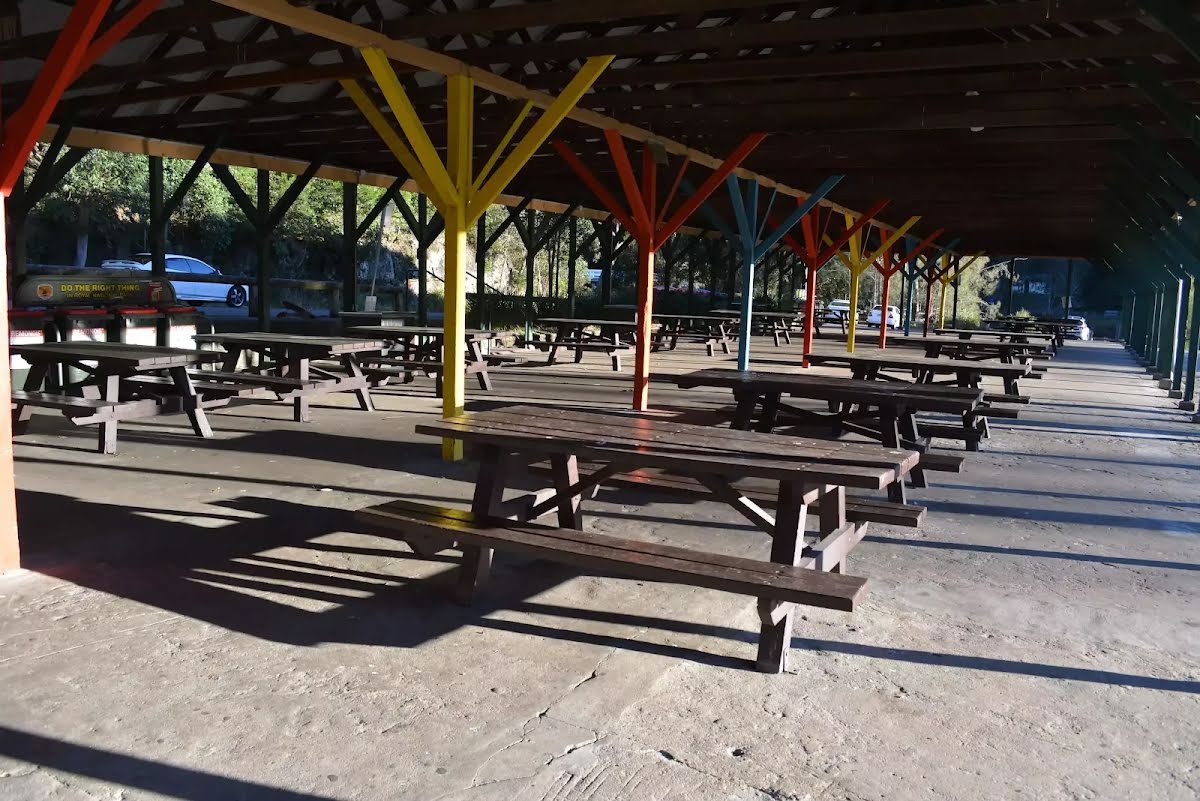
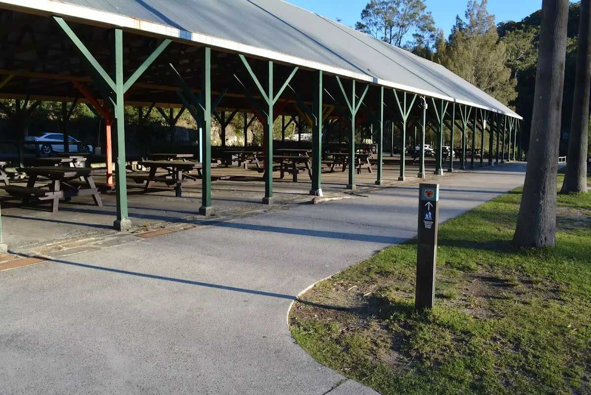
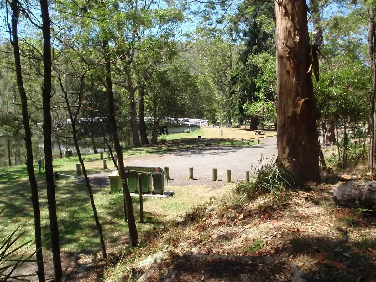
After another 25 m find the "Audley Picnic area" (20 m on your right).
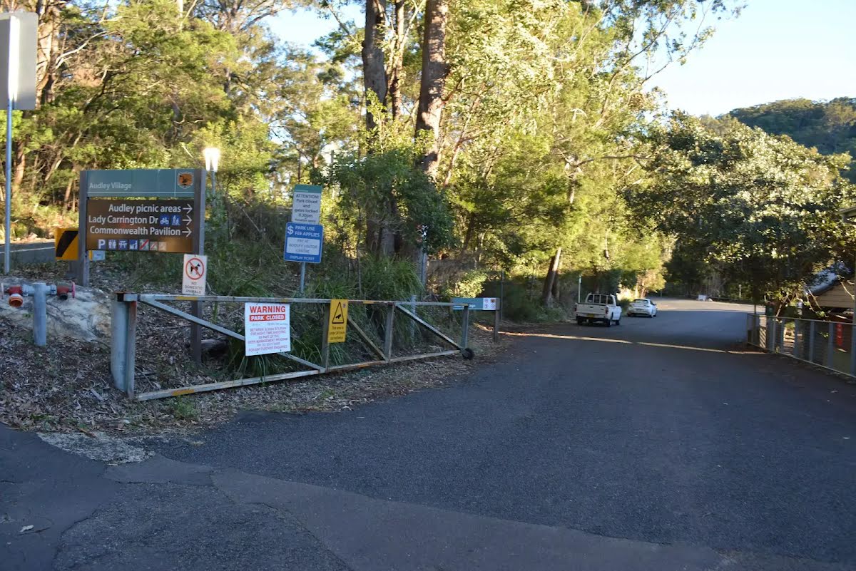
After another 9 m head through/around the gate.
sunrise-sunset

Then pass the "Royal National Park Visitor Center" (10 m on your right).

Then pass the "Ironbark Flat Picnic Area" (25 m on your right).

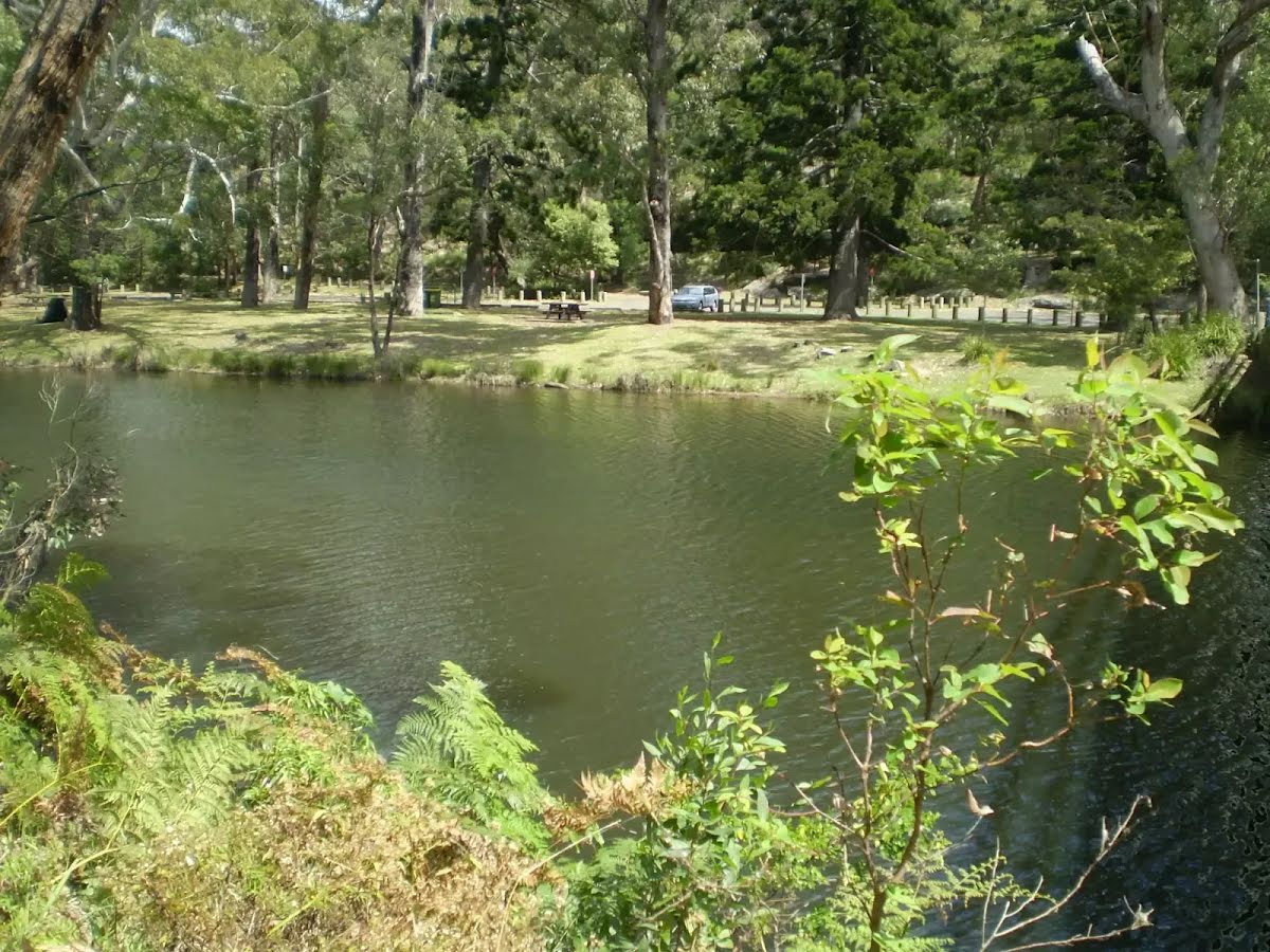
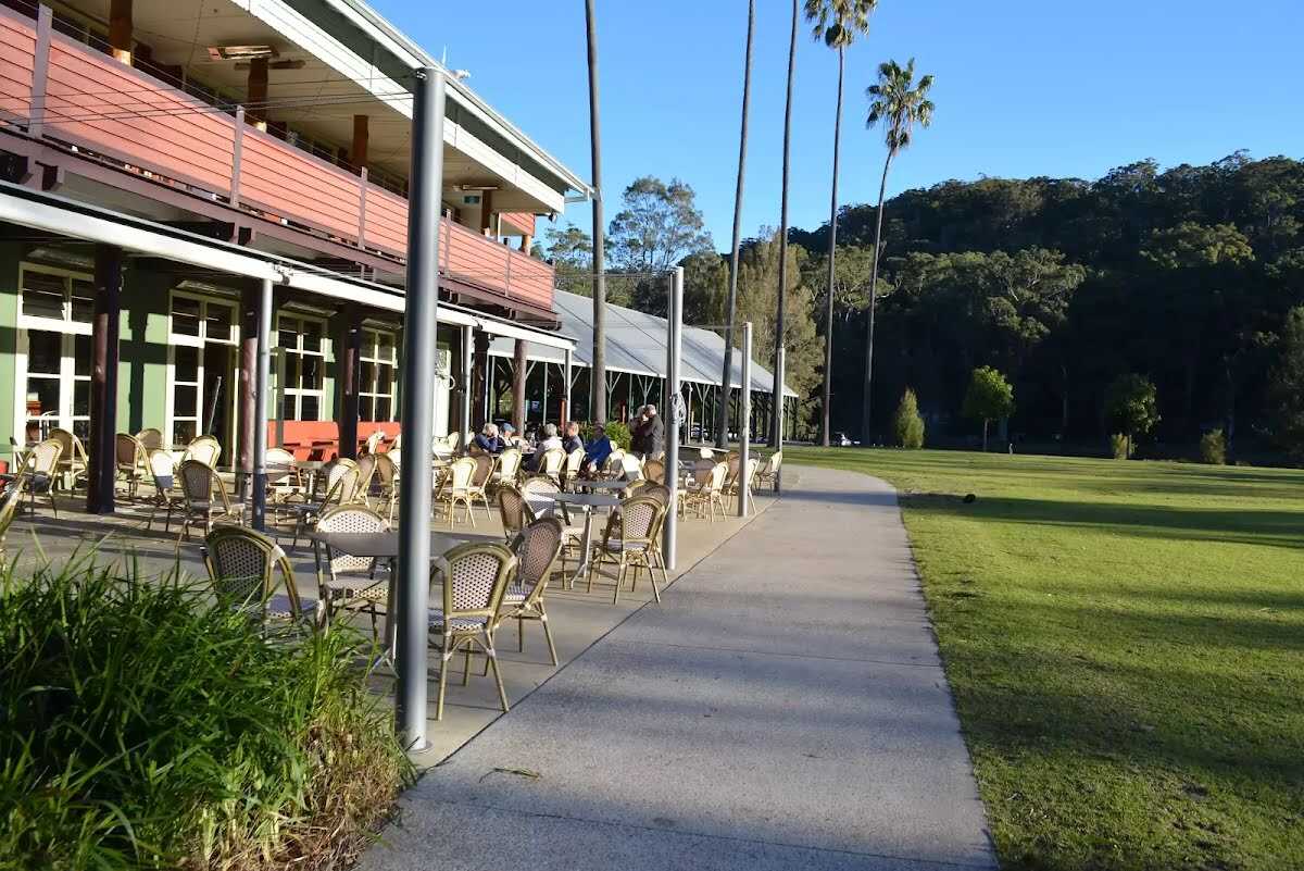
Then find the "Audley" (on your left).

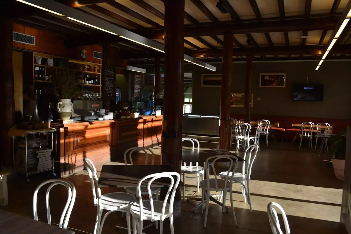
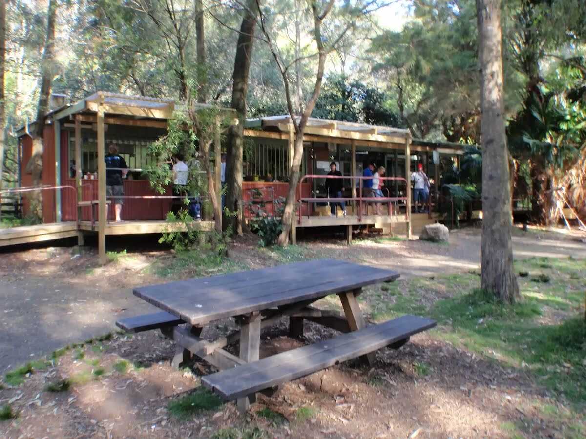
After another 20 m pass the "Weir Cafe" (15 m on your right).
After another 10 m find the "Audley Cafe" (15 m on your right).
After another 35 m find the "Commonwealth Pavilion" (10 m on your right).

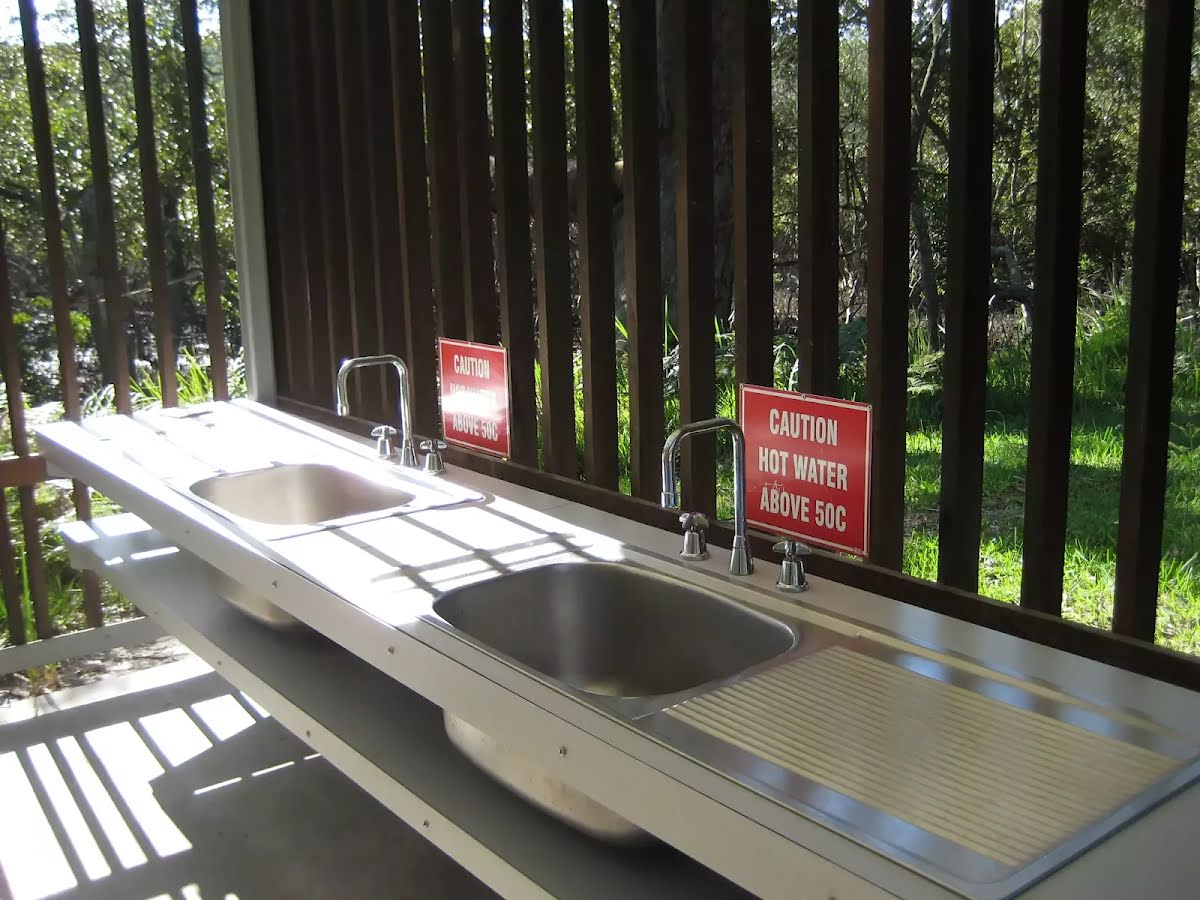
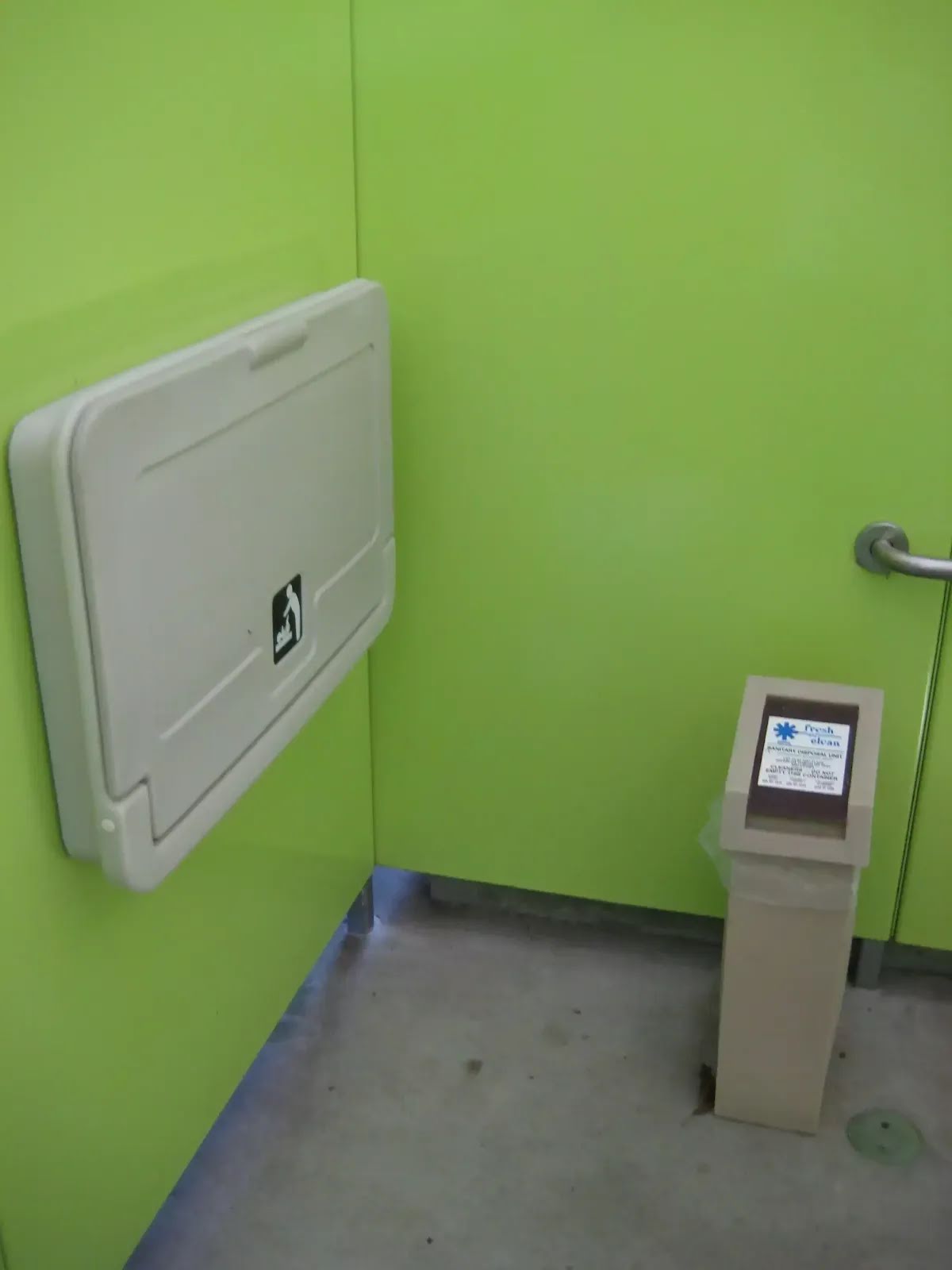
After another 40 m pass the water tap (20 m on your right).

Then pass the car park (on your right).
|
|
|

From the Lady Carrington Drive veer left, to head along Lady Carrington Drive.
After another 60 m (at the intersection of Engadine Track & Lady Carrington Drive) turn right, to head along Engadine Track.
Then cross the bridge (about 55 m long)
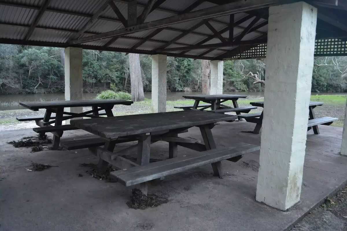
Then find the "Currawong Flats" (60 m on your right).
After another 30 m pass the toilet (60 m on your right).
|
|
|
After another 9 m (from the Engadine Track) veer left.
After another 290 m find the "Willow Tree" (70 m on your left).
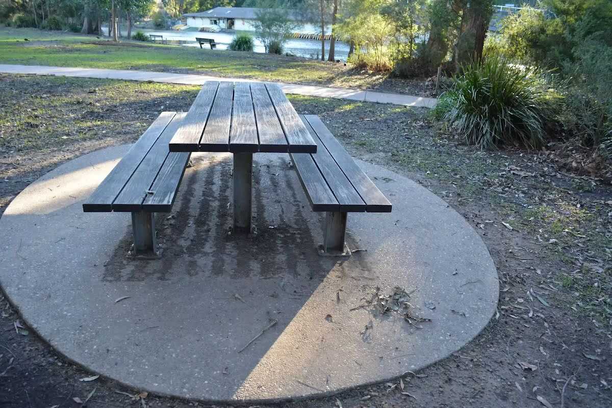
After another 15 m find the "Picnic Table" (65 m on your left).
After another 610 m pass the water tap (25 m on your left).
After another 50 m pass the toilet (7 m on your right).
|
|
|
After another 1.2 km (at the intersection of Uloola Track & Wattle Forest Track) turn left, to head along Uloola Track.
After another 520 m come to the viewpoint (30 m on your left).
|
|
|
After another 1.5 km (at the intersection of Uloola Track & Peach Trees Trig Station Track (slightly overgrown)) continue straight, to head along Uloola Track.
After another 670 m pass the "Uloola Falls" (40 m on your right).
Then find the "Ulloola Falls Campsite" (25 m on your right).
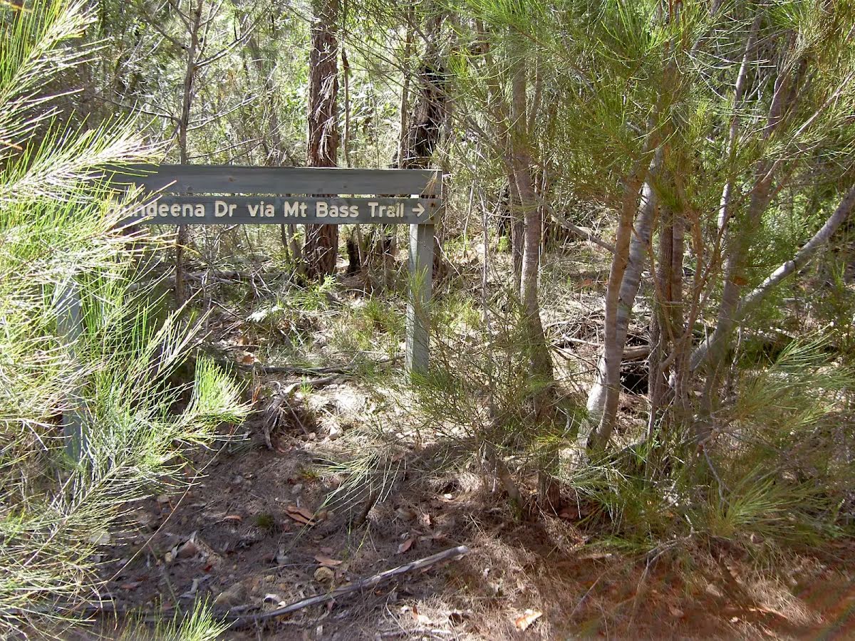
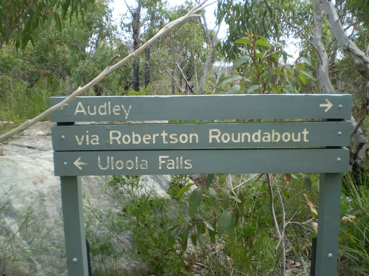
After another 15 m come to a sign.
|
|
|

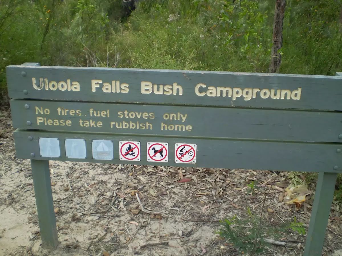
Continue another 0 m to find Uloola Falls Bush Campground at the end.
|