


| Start | (-25.2847632,130.7260831) |
| Mode | Car |
| Directions | From Stuart Highway, 87
|
| Turn map | Directions & comments |
|---|---|
 |
|
 |
|
 |
|
 |
|
 |
|
 |
|
 |
|
 |
|
 |
|
 |
|
 |

|
|
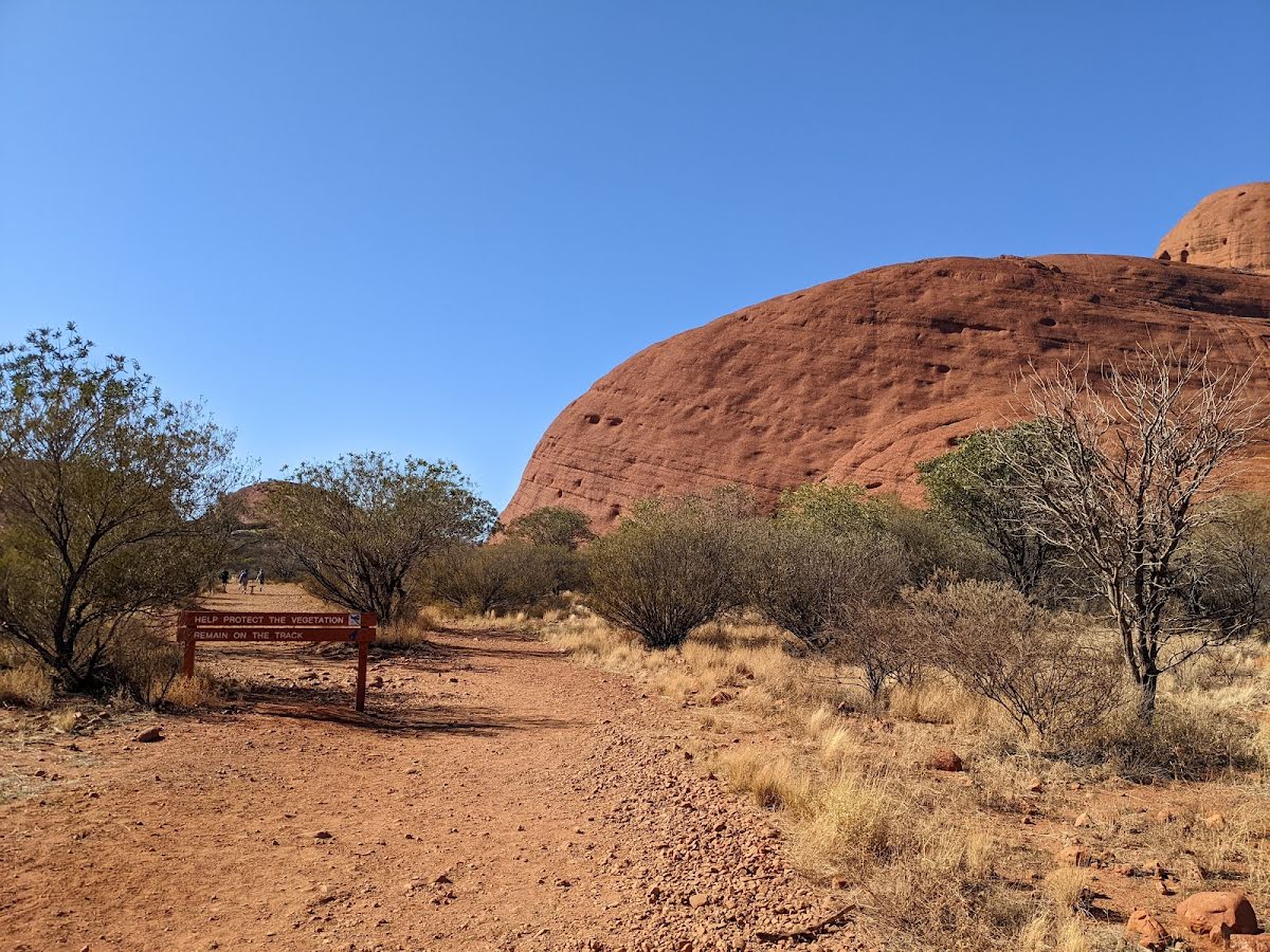
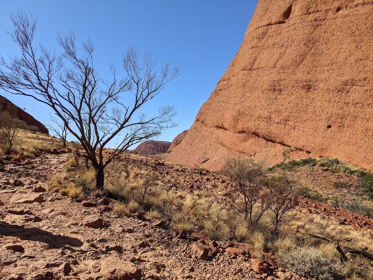
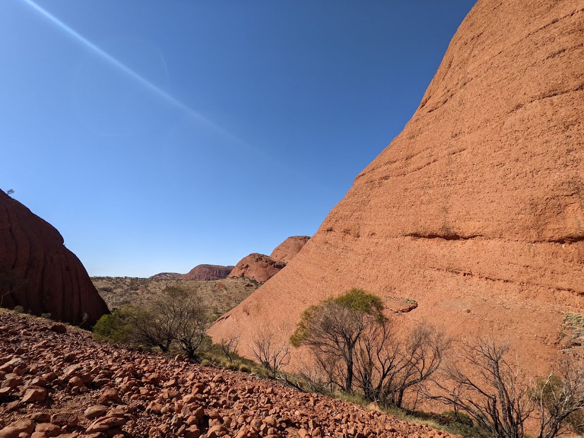
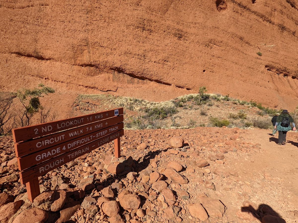
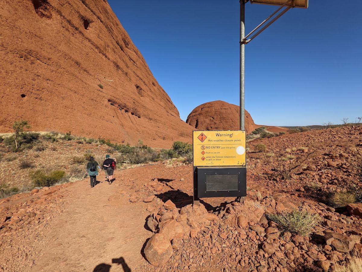
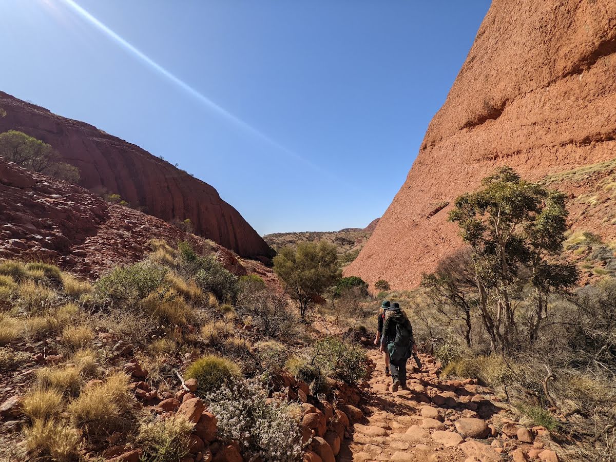
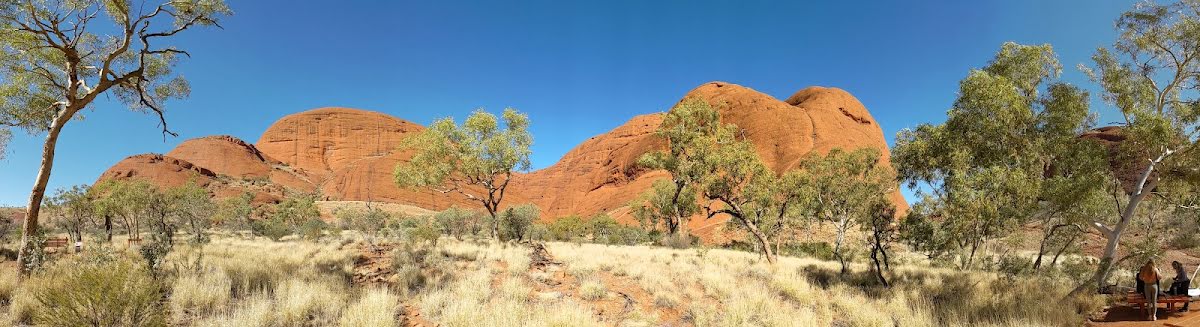
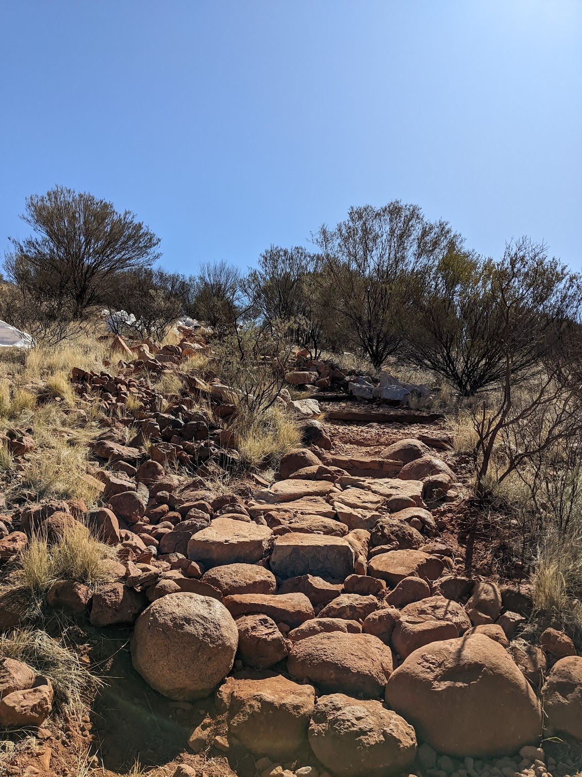
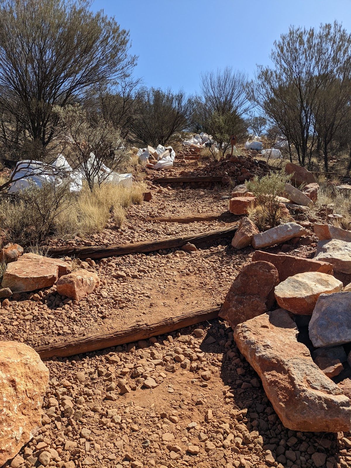
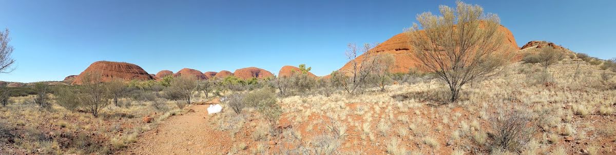
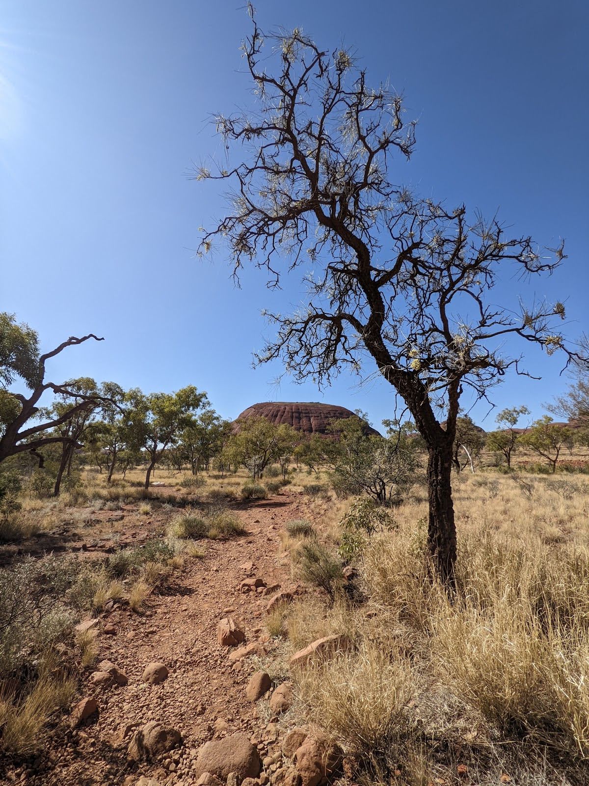
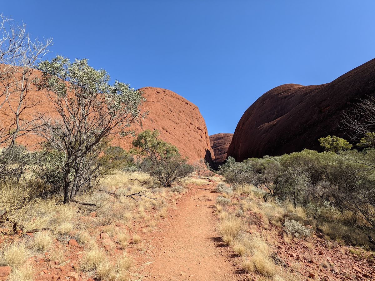
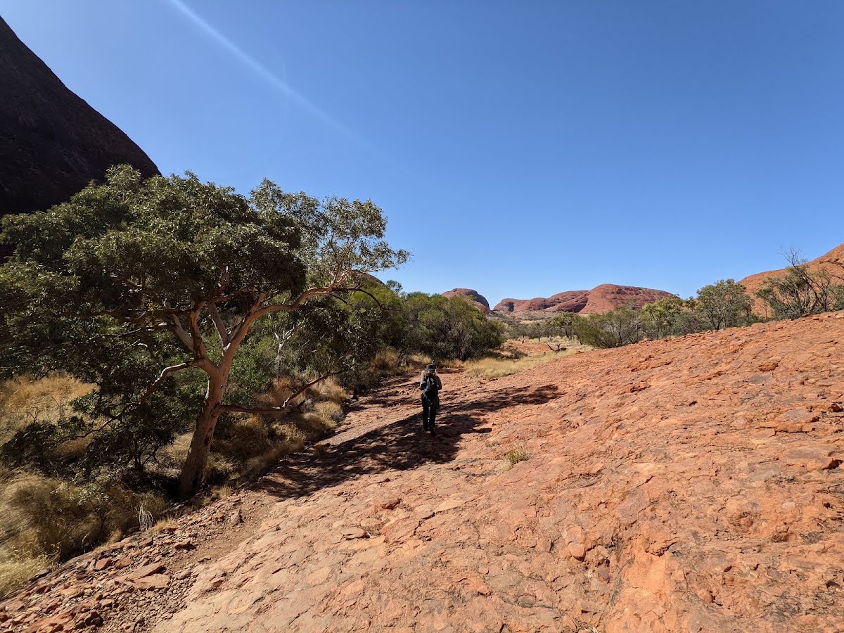
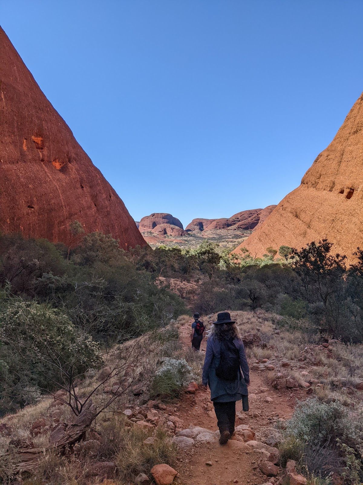
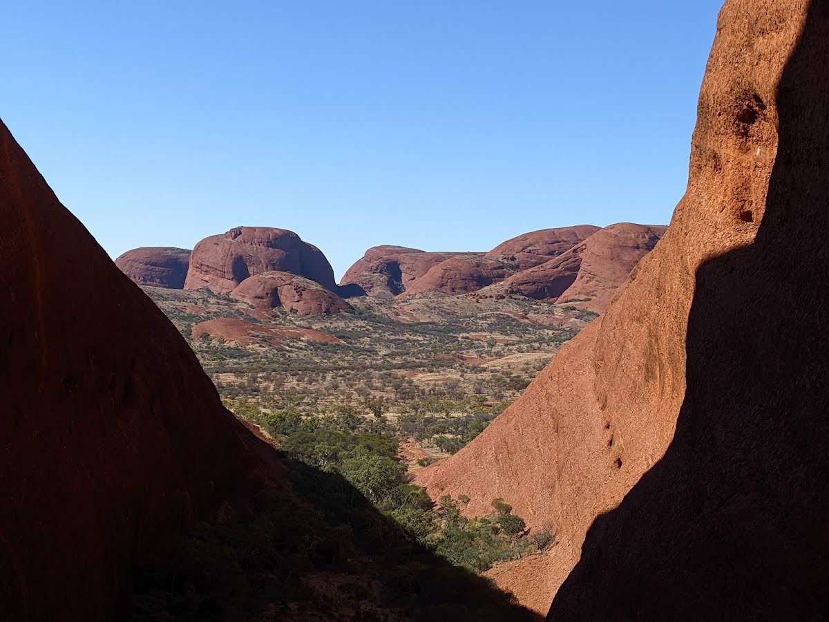
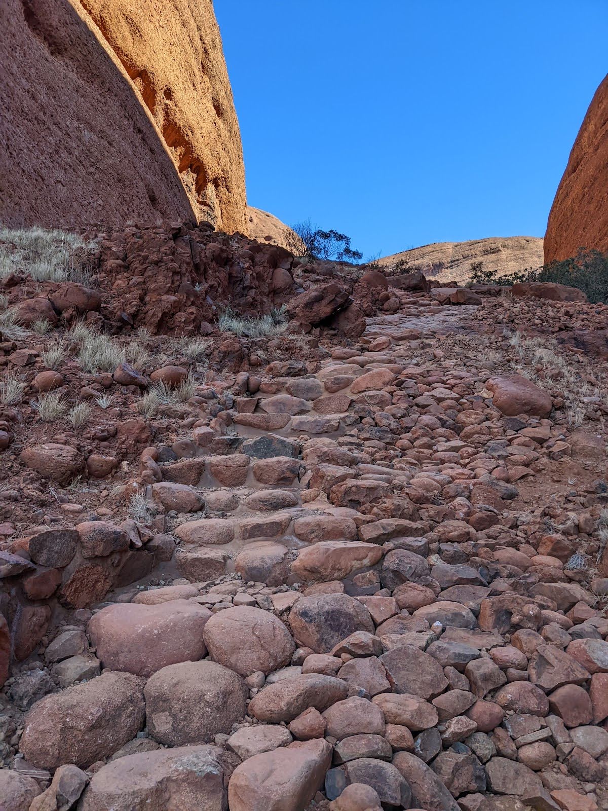
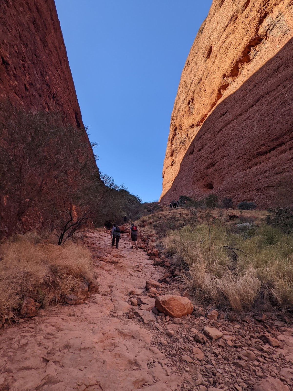
Class 4/6 Hard track |
|---|---|
| Length | 7.4 km |
| Time | 2 h to 4 h |
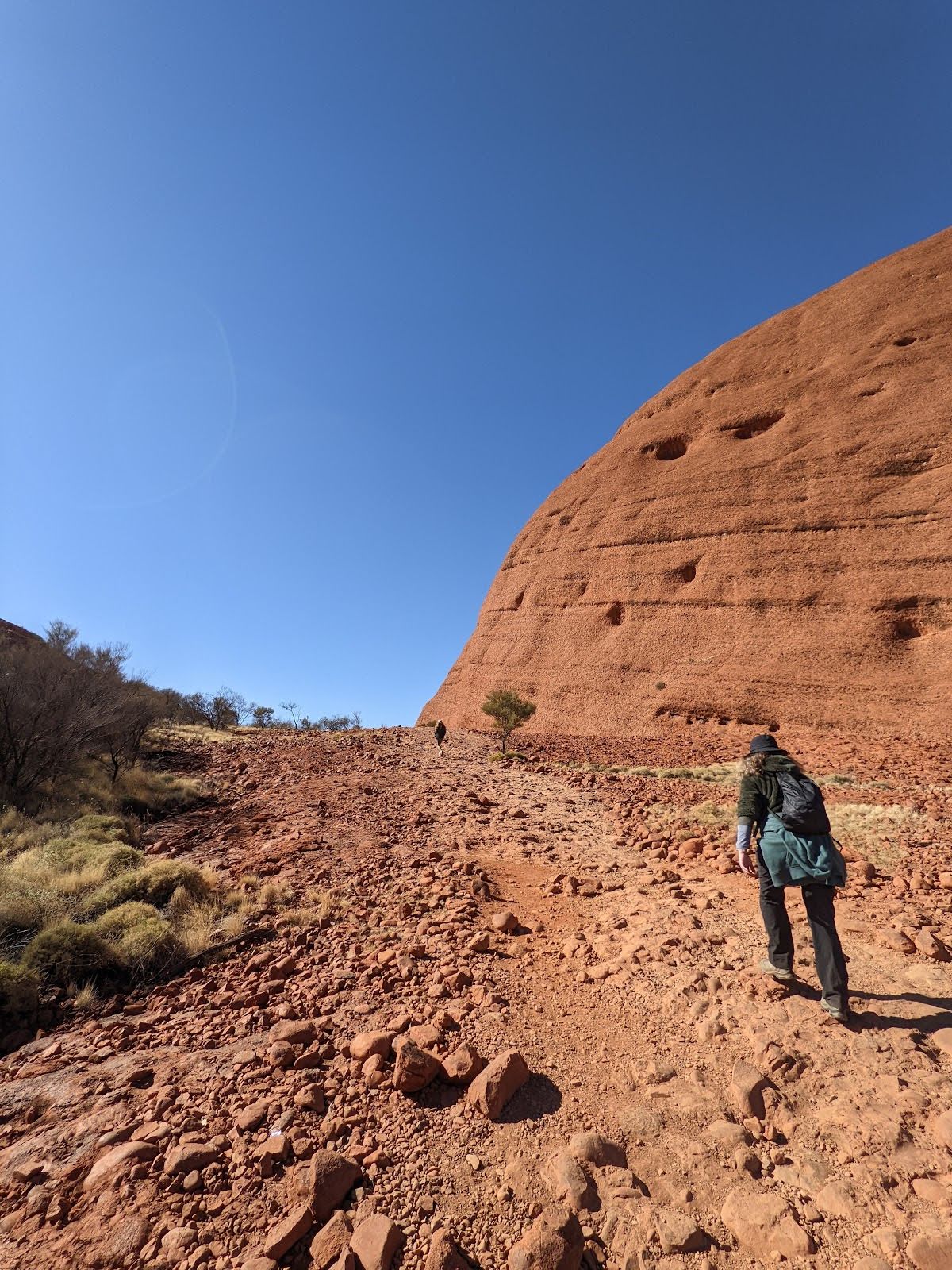
| Quality of track | Rough track, where fallen trees and other obstacles are likely (4/6) |
| Gradient | Very steep (4/6) |
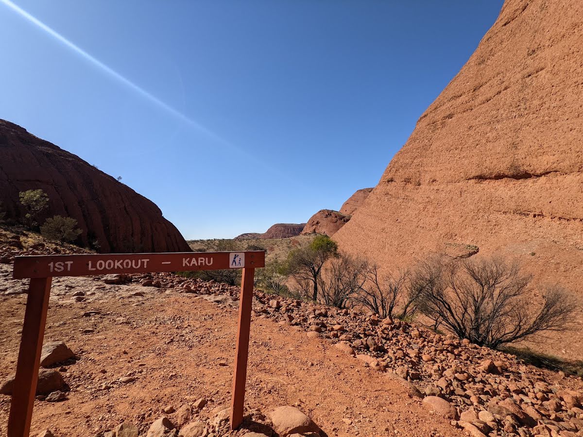
| Signage | Directional signs along the way (3/6) |
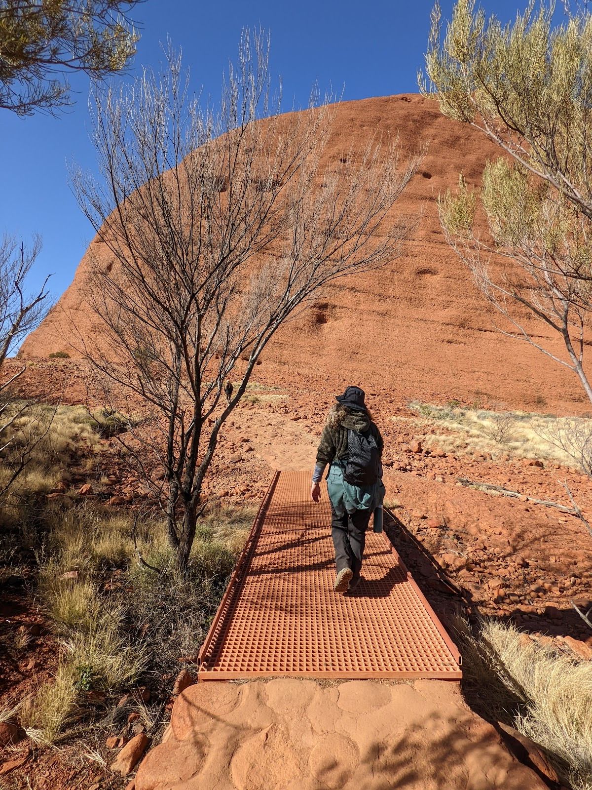
| Infrastructure | Generally useful facilities (such as fenced cliffs and seats) (2/6) |
| Experience Required | Some bushwalking experience recommended (3/6) |
| Weather | Weather generally has little impact on safety (2/6) |
| Item | From Start | Name & link to notes |
|---|---|---|
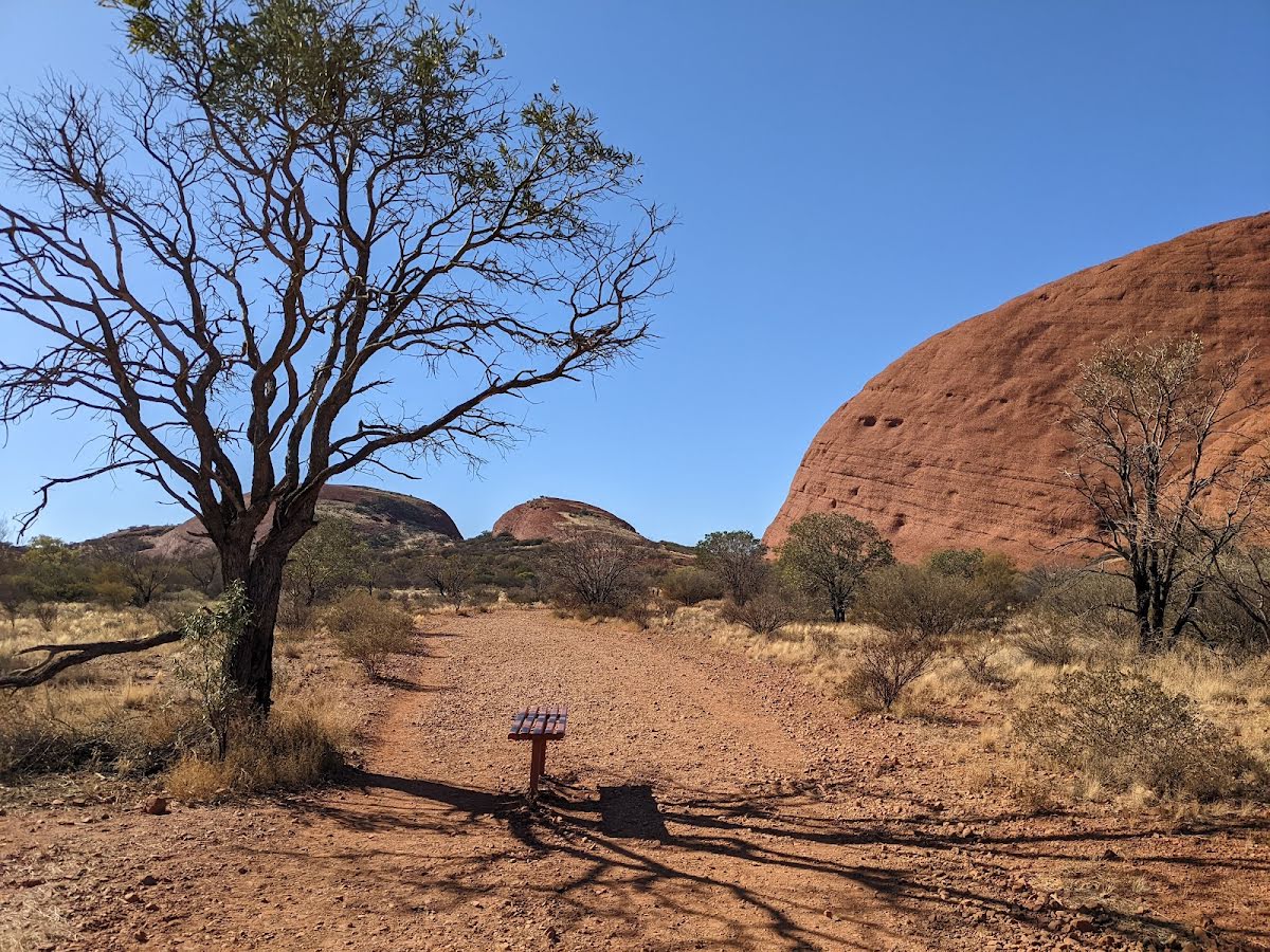
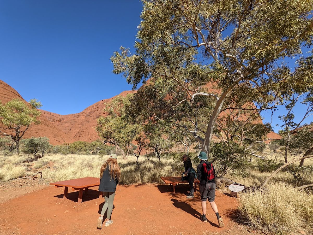
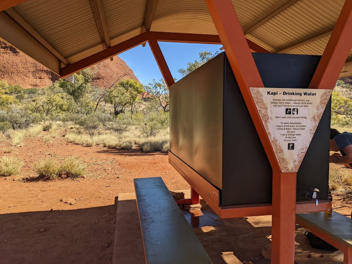
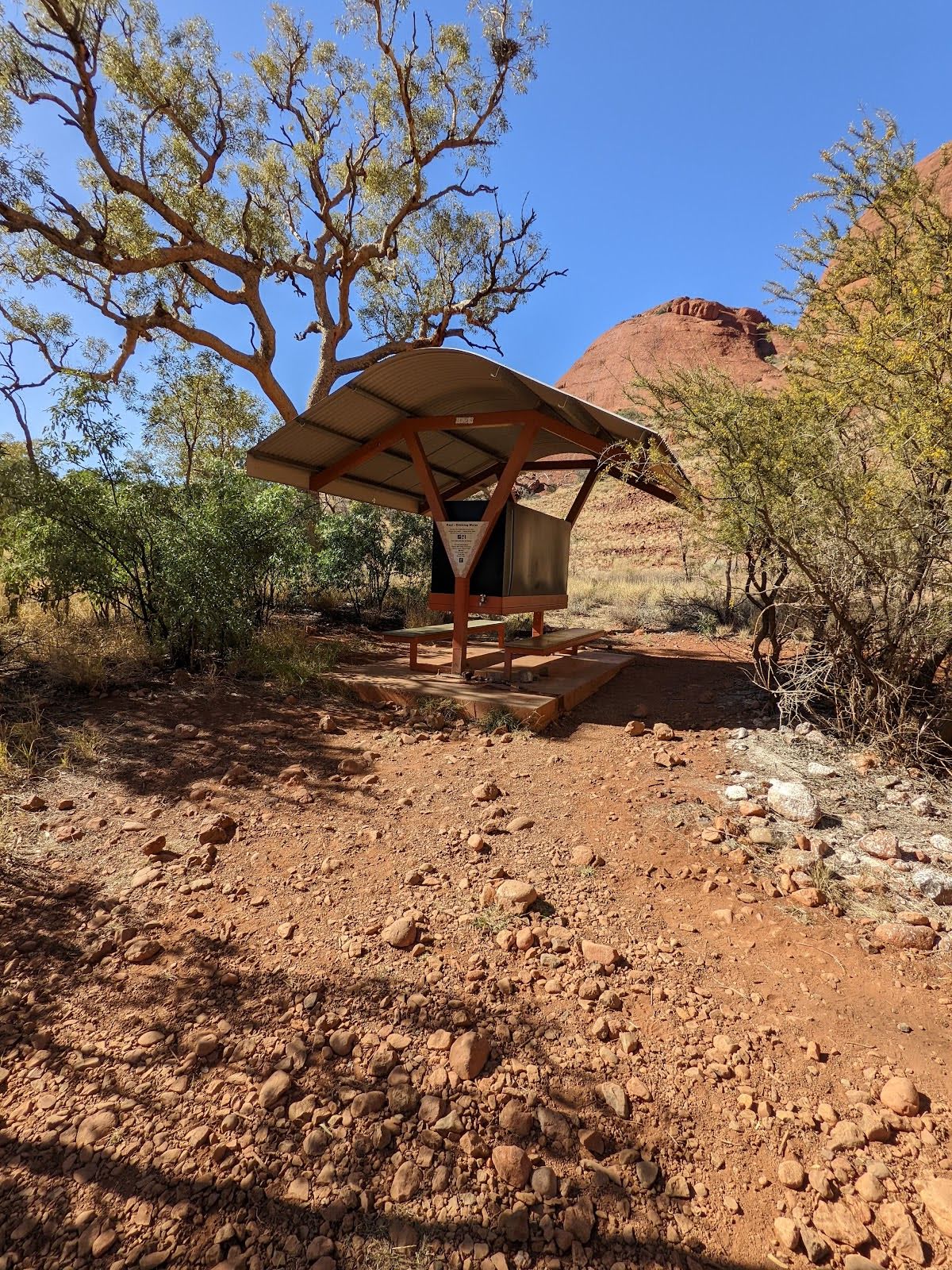
Shelter
| 90 m | [shelter] |
Seat
| 175 m | [seat] |
Shelter
| 2.4 km | [shelter] |
Shelter
| 5.6 km | [shelter] |