Wilcolo Track

4 h to 6 h

2 h to 3 h

17.4 km
oneway

↑ 346 m
↓ -105 m

Moderate track
Starting from the Bunyeroo car park on Bunyeroo Road, Ikara-Flinders Ranges National Park, this walk takes you to the Wilpena Pound Visitor Centre via the Wilcolo Track. This hike follows a section of the Heysen and Mawson Trails alongside Wilcolo Creek between the ABC and Heysen Ranges, passing through white cypress pine woodland and tall river red gums, with stunning views of Wilpena Pound and the surrounding peaks. A diverse range of birds and animals can be seen along the way, including parrots, robins, wrens, eagles, emus, echidnas, kangaroos and rare yellow-footed rock wallabies. Before reaching the Wilpena Pound Visitor Centre, the hike passes the Wilcolo Campground, which sits among native pines, river red gums and wattles, offering picturesque camping options and toilet facilities. The hike also passes the Old Wilpena Station, one of South Australia's most significant pastoral settlements, displaying restored farm buildings, including an 1864 blacksmith's cottage. This loop consists of gently undulating fire tracks, with some uneven natural surfaces and creek crossings, suitable for average fitness levels. Let us begin by acknowledging the Traditional Custodians of the land on which we travel today, and pay our respects to their Elders past and present.
Show all
Photo by admin, 2022.
Downloads GPX PDF

+
-
Safer Bushwalks
Tips on staying safe on track
Before you start any bushwalk ensure you;
• Tell someone you trust where you are going and what to do if you are overdue
• Have adequate equipment, supplies, skills & knowledge for the whole journey
• Consider the impact of weather forecasts, park/track closures & fire dangers
• Can respond to emergencies & call for help at any point
• Are healthy and fit enough for this journey
If not, change plans and stay safe. It is okay to delay and ask people for help.
+
-
Getting There
Transport options and directions
Start (-31.4168511,138.5577867)
Mode Car
DirectionsFrom Augusta Highway, Stirling North.
  • Turn on to Range View Road then drive for 33.1 km
  • Turn left onto Railway Terrace and drive for another 66.4 km
  • Turn right onto Wilpena Road and drive for another 55.7 km
  • Turn left onto Bunyeroo Road and drive for another 19.5 km
  • Turn left and drive for another 35 m
Finish (-31.5270357,138.6066835)
Mode (end) Car Shuttle   Car  
+
-
Track Notes
Turn by turn instructions & maps
Getting started
From the Bunyeroo car park on Bunyeroo Road, Ikara-Flinders Ranges National Park, follow the walking trail alongside the road for about 150 metres, then turn right and head through the gate. Follow the fire track south along Wilcolo Creek and continue the Wilcolo Track.....
Turn map Directions & comments
Start.
After 145 m cross the ford.
Turn right, to head along Wilcolo Track.
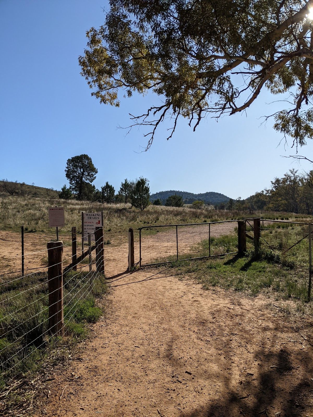
After another 15 m head through/around the gate.
After another 680 m cross the ford.
Continue straight, to head along Wilcolo Track.
After another 285 m cross the ford.
Continue straight, to head along Wilcolo Track.
After another 1.3 km cross the ford.
Continue straight, to head along Wilcolo Track.
After another 15 m (at the intersection of Wilcolo Track & Bunyeroo and Wilcolo Creeks Hike) continue straight, to head along Wilcolo Track.
After another 145 m (at the intersection of Wilcolo Track & Wilcolo Circuit) continue straight, to head along Wilcolo Track.
After another 730 m cross the ford.
Continue straight, to head along Wilcolo Track.
After another 1.2 km cross the ford.
Continue straight, to head along Wilcolo Track.
After another 1.8 km cross the ford.
Continue straight, to head along Wilcolo Track.
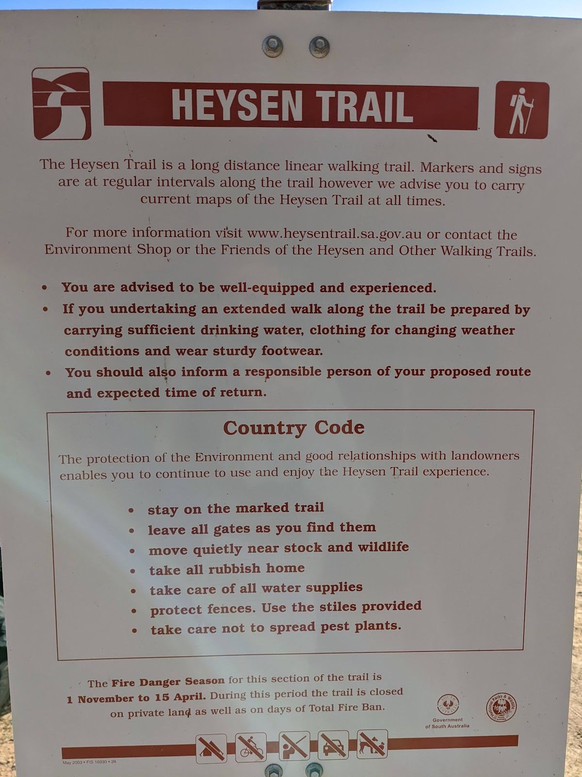
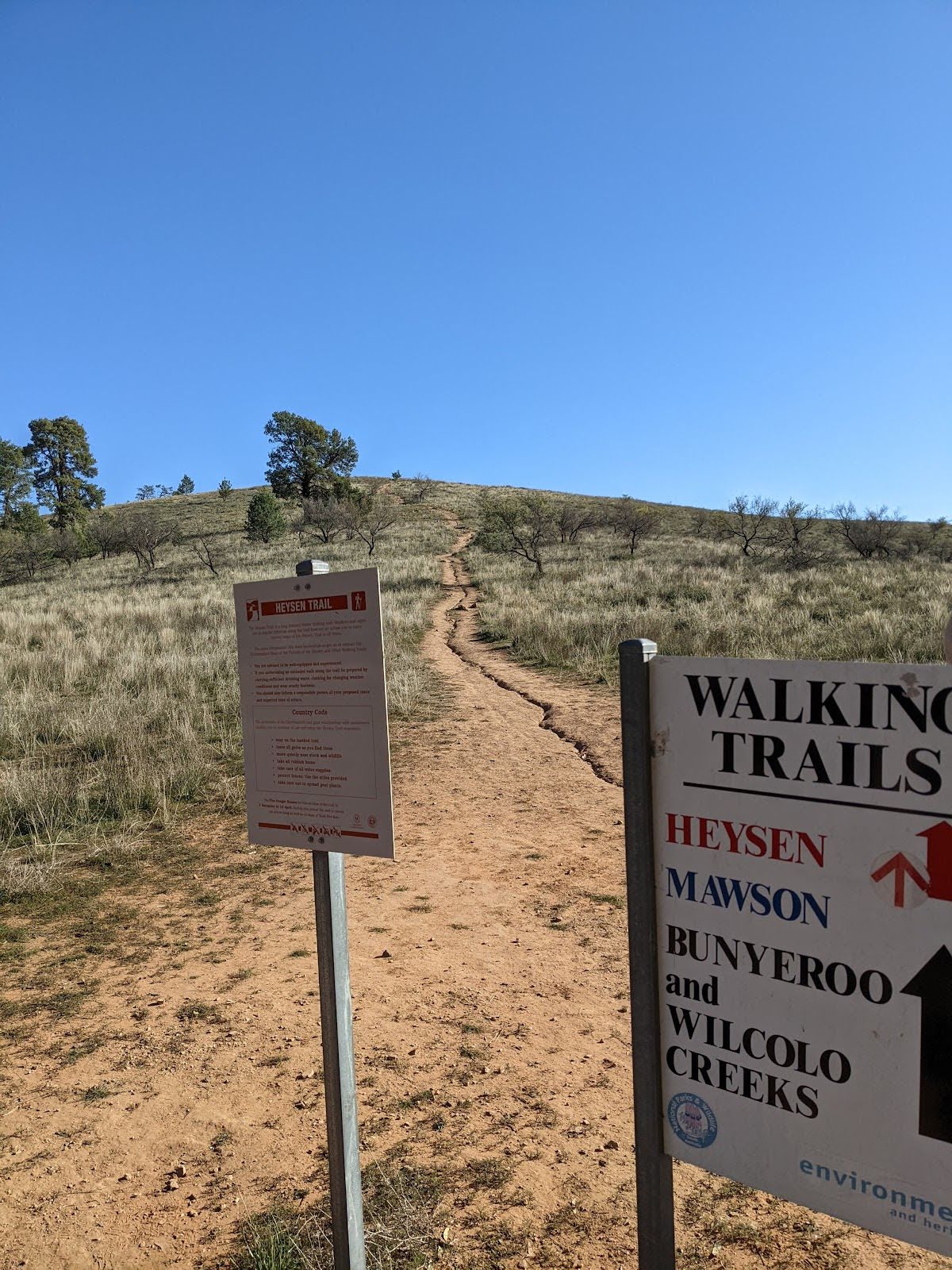
After another 6.1 km (at the intersection of Wilcolo Track & Heysen Trail) continue straight, to head along Wilcolo Track.
After another 3 km pass the cemetery (65 m on your left).
After another 65 m continue straight, to head along Wilcolo Track.
After another 25 m continue straight, to head along Wilcolo Track.
After another 40 m turn right.
After another 195 m continue straight.
After another 335 m turn right.
After another 640 m (at the intersection of Wilcolo Track & Heysen Trail) continue straight, to head along Wilcolo Track (a vehicle track).
After another 530 m (at the intersection of Wilcolo Track & Heysen Trail) continue straight, to head along Wilcolo Track.
After another 50 m continue straight, to head along Wilcolo Track.
After another 55 m pass the pay phone (60 m on your left).
After another 20 m continue straight, to head along Wilcolo Track.
After another 70 m turn sharp left.
After another 100 m continue straight.
After another 80 m pass the toilet (70 m on your left).
Continue straight.
After another 35 m continue straight.
After another 75 m cross the ford.
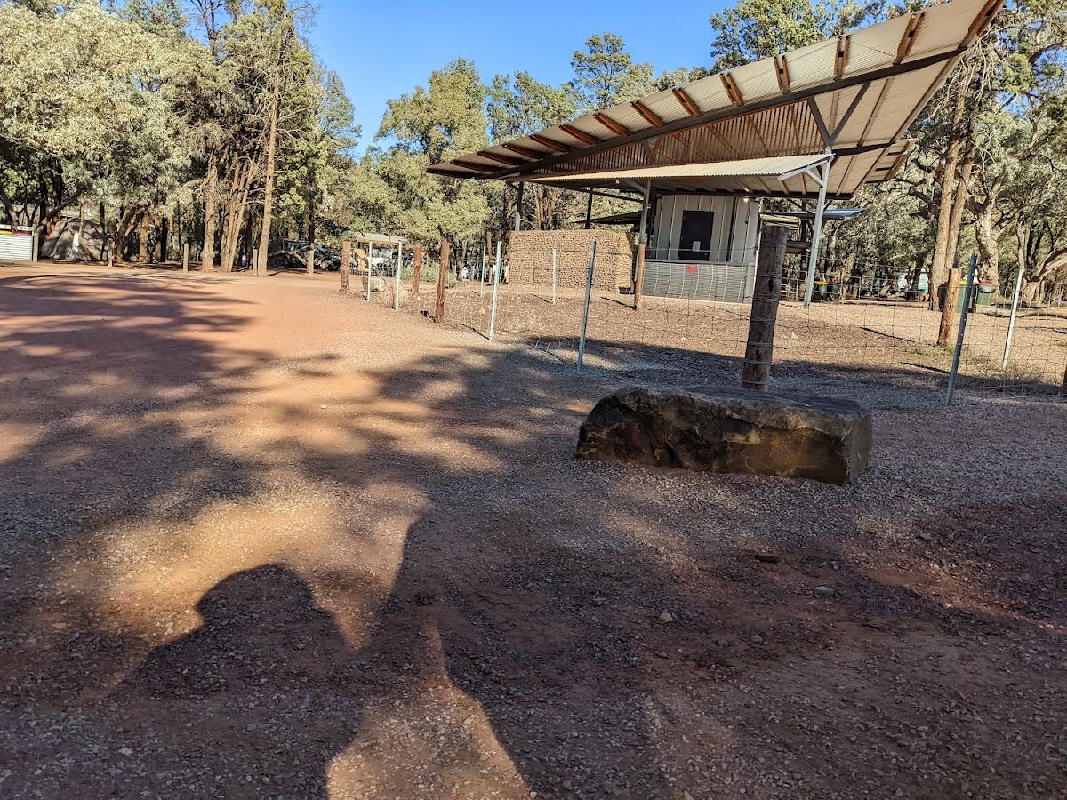
After another 45 m come to a toilet.
Then pass the "Wilpena Pound Visitor Centre" (20 m on your right).
After another 20 m come to the end.
+
-
Terrain
Know the Hills, grading & facilities

Wilcolo Track


Grading
Class 3/6
Moderate track
Length 17.4 km
Time 4 h to 6 h
Quality of track Clear and well formed track or trail (2/6)
Gradient Gentle hills with occasional steps (2/6)
Signage Directional signs along the way (3/6)
Infrastructure Limited facilities, not all cliffs are fenced (3/6)
Experience Required Some bushwalking experience recommended (3/6)
Weather Weather generally has little impact on safety (2/6)

Some facilities on route
Toilet: There are 2 on route, on average they are 5.8 km apart with the largest gap of 17.3 km.


Order of key facilities on route
ItemFrom StartName & link to notes
Toilet
17.3 km[toilet]
Toilet
17.4 km[toilet]
+
-
Articles
Discover more details to thrive on track
+
-
Reviews & Feedback
Share your experience
+
-
Weather & Alerts
Check forecasts & closures
Show Full Weather
Alerts and Closures
Show all alerts
Show all alerts
Show all alerts
+
-
Other Journeys
Discover nearby and similar journeys
Some of the information and maps on this page was generated using data from the awesome © OpenStreetMap contributors.
Please see how you can embed some widgets, access data and other stuff to that might be helpful.