Safety alerts: Ngarigo campground access - exercise cautionPlease be aware that the Ngarigo campground access road is currently snow-covered and may pose a hazard to vehicles exiting and entering the campground, particularly in the mornings when snow cover is frozen.
Please exercise caution when using the road. Park users are reminded that penalties apply for failing to carry tyre chains in Kosciuszko National Park during winter (4WDs exempt).
For more information, please contact the NPWS Jindabyne office on (02) 6450 5555.
Safety alerts: Tom Groggin Station - suspension bridge closedThe suspension footbridge crossing the Murray River (Victorian border) at Tom Groggin Station is unsafe for pedestrian access and is closed until further notice.
Penalties apply for non-compliance.
For further information, please contact the Jindabyne NPWS office on (02) 6450 5555.
Closed areas: Areas closed for ground shooting for feral animal controlEucumbene Borrows site in Kosciuszko National Park are closed for ground shooting for feral animal control.
Eucumbene Borrows area - a small ex-quarry revegetation site located below the Eucumbene Dam wall is closed each day and night from 6.00am Tuesday 1 July to 6:00am Friday 4 July 2025.
Do not enter these sites during the closure period.
Penalties apply for non-compliance. For more information, contact the local park office.
Other planned events: Notice of ongoing 1080 winter fox baiting programNSW National Parks and Wildlife Service (NPWS) is conducting an ongoing winter ground baiting program from Monday 30 June 2025 to Sunday 28 September 2025. The operation will use 1080 (sodium fluoroacetate) poison for the control of feral foxes.
The program will take place in areas of Kosciuszko National Park including:
- Main range area
- Perisher valley
- Dead horse gap
- Munyang
The program is designed to minimise predator impacts on wildlife, especially threatened species.
Signs will be placed at the entry to the baiting location. Domestic pets are not permitted in NSW National Parks managed lands. Pets and working dogs may be affected (1080 is lethal to cats and dogs). Pets and working dogs must be restrained or muzzled in the vicinity and must not enter the baiting location. In the event of accidental poisoning seek immediate veterinary assistance.
Please contact the local NPWS area office for more information on (02) 6450 5555.
Closed areas: Clarke Gorge walking track closedClarke Gorge walking track is closed due to increased risk of rockfall during winter. This closure will be reviewed Thursday 2 October and may be extended.
Penalties apply for non-compliance. For more information, call the NPWS Tumut office on 02 6947 7000.
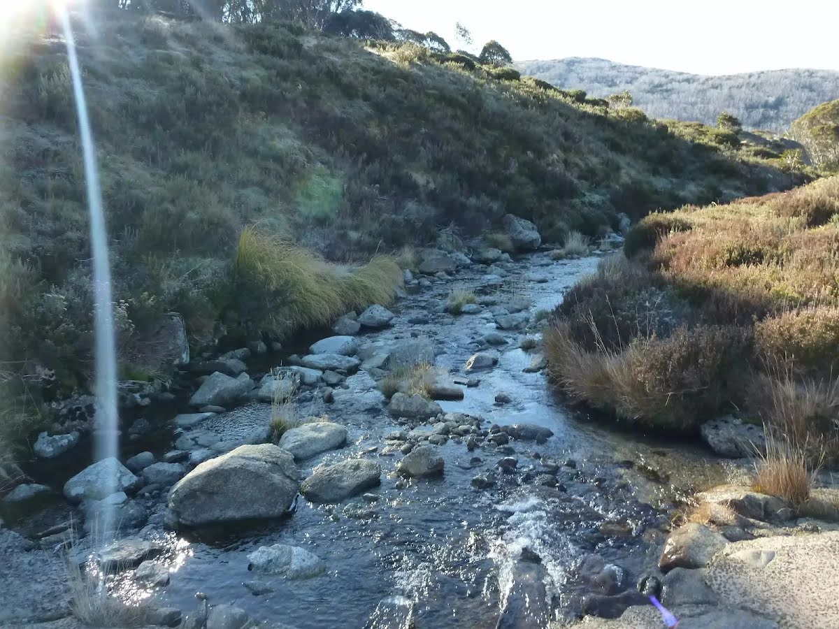
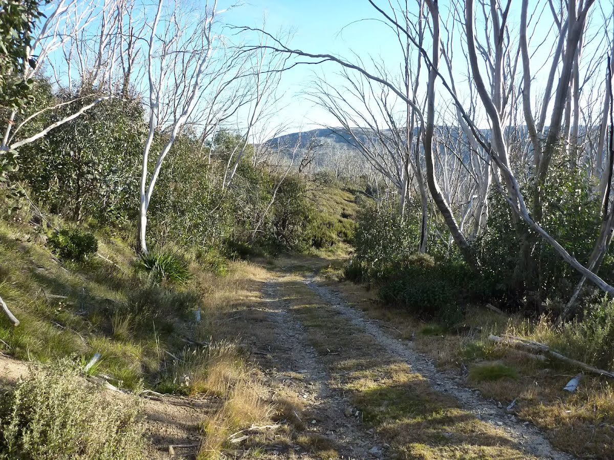
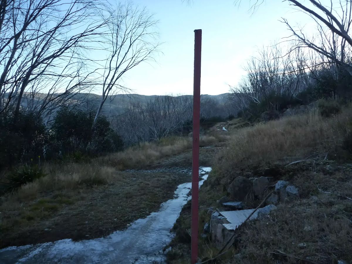
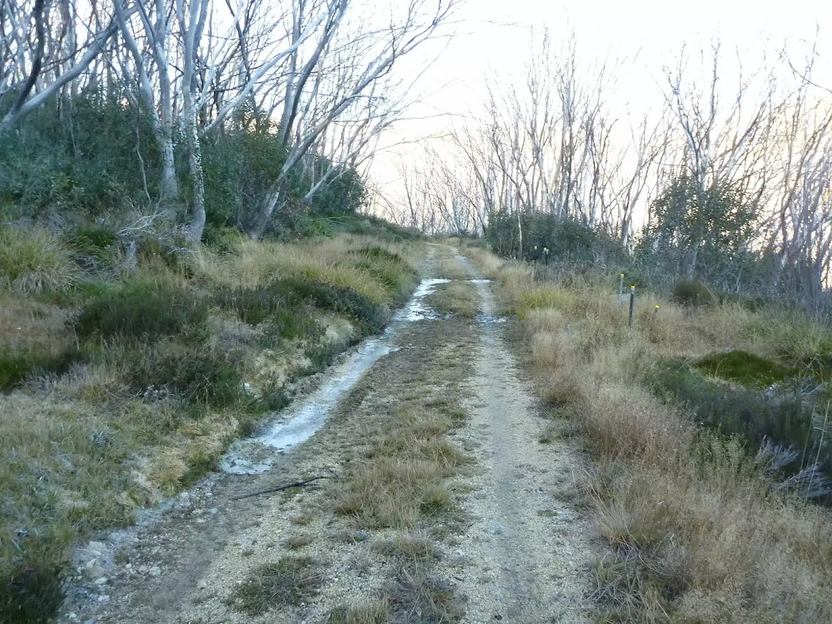
Safety alerts: High altitude walks - Snow covered and hazardous winter conditionsAreas above 1600m in altitude in Kosciuszko National Park are typically snow covered in winter:
General:
Be prepared:
- Low visibility, extreme winds, heavy snowfalls can all occur without warning.
- Wear and carry appropriate clothing, carry navigation equipment and be prepared for extreme conditions.
- Track surfaces and signs may not be visible.
Travel with care:
- Choose your routes carefully and ensure you have sound navigation skills
- Steep and icy terrain and thin snow/ice cover over rivers and lakes can make travel very dangerous.
Avalanche:
- There is a risk of avalanches in the higher areas of Kosciuszko National Park, particularly on Main Range and around Mount Kosciuszko.
- Steeper, treeless slopes and the tops of ridges where overhanging cornices develop carry the greatest risk.
- Snow stability varies with wind, temperature and the amount and patterns of snowfall.
- Avalanches can occur at any time through winter and can be fatal.
- Back country travellers should check snow and weather conditions before departure and remain alert.
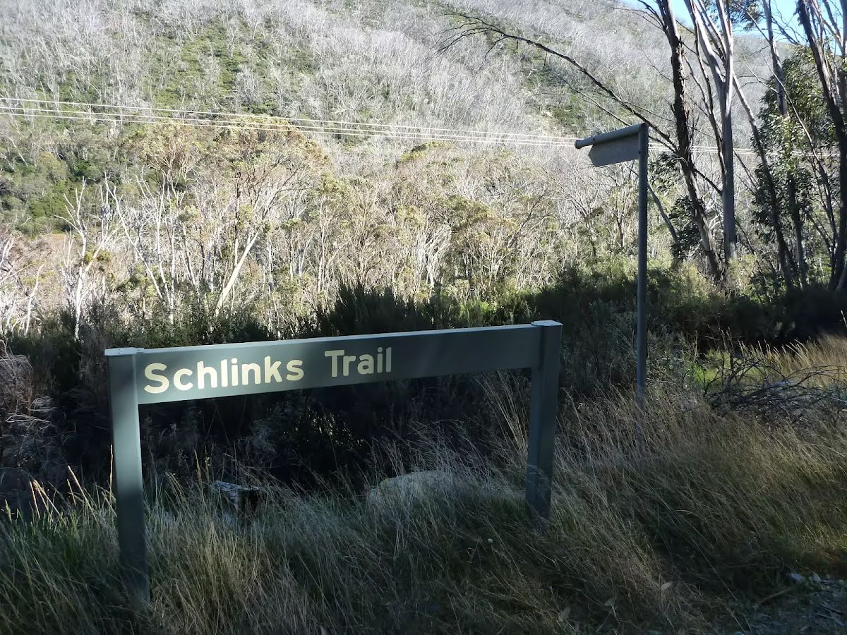
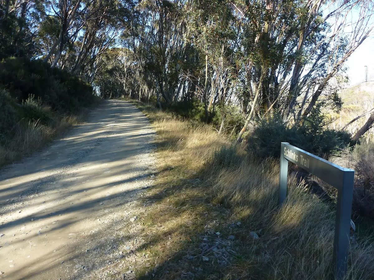
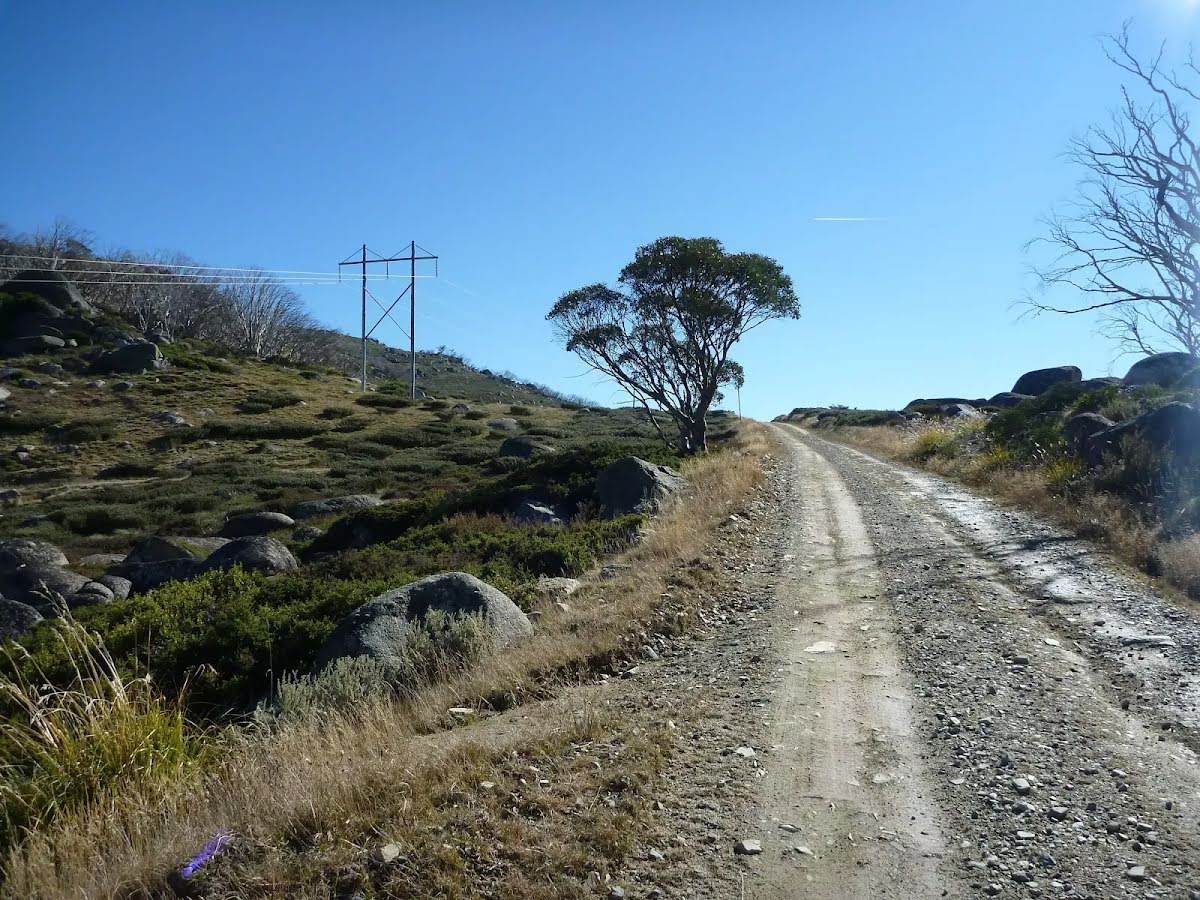
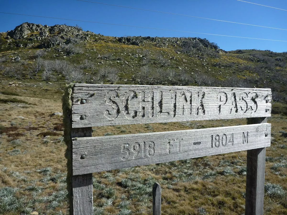
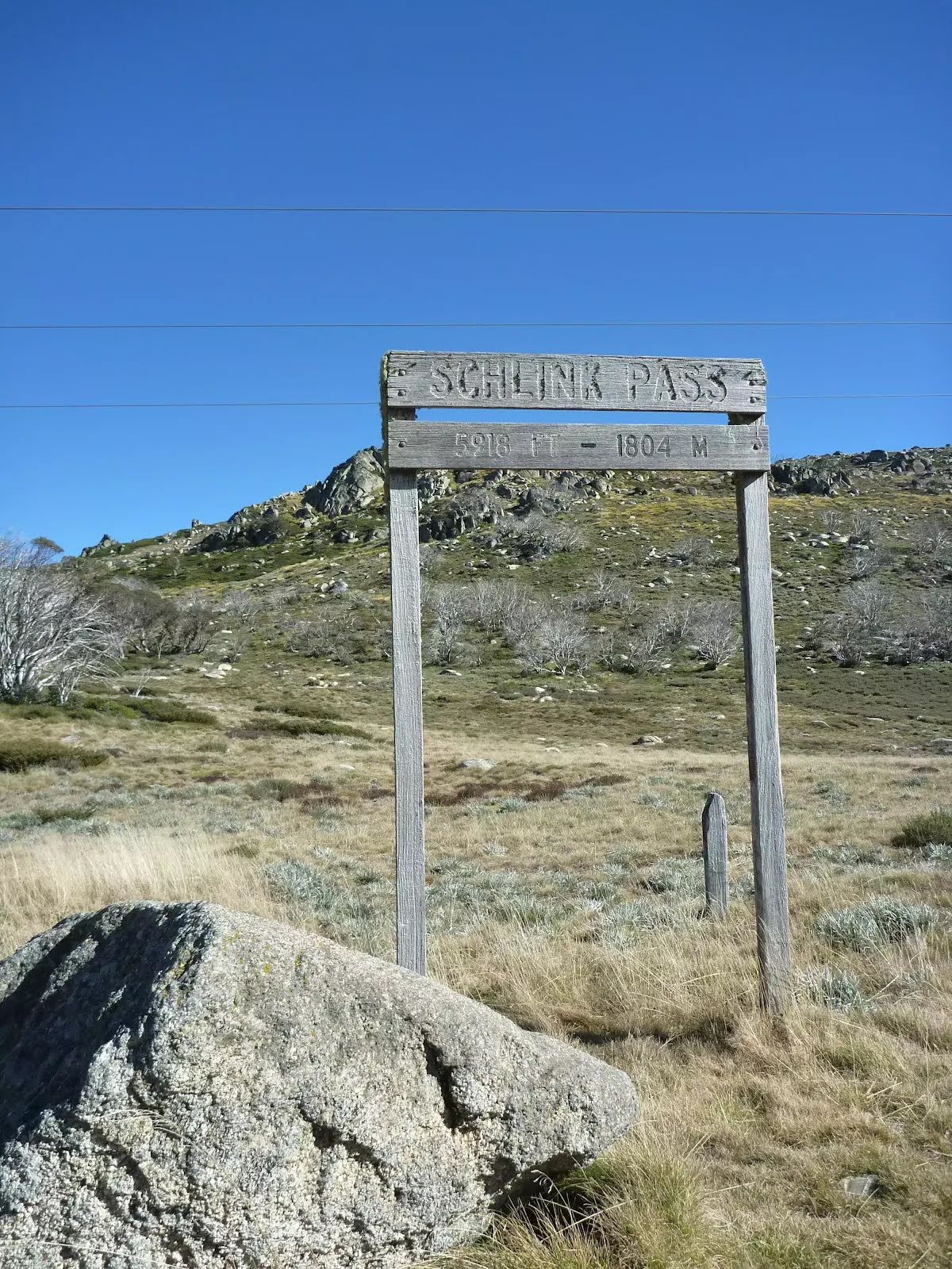
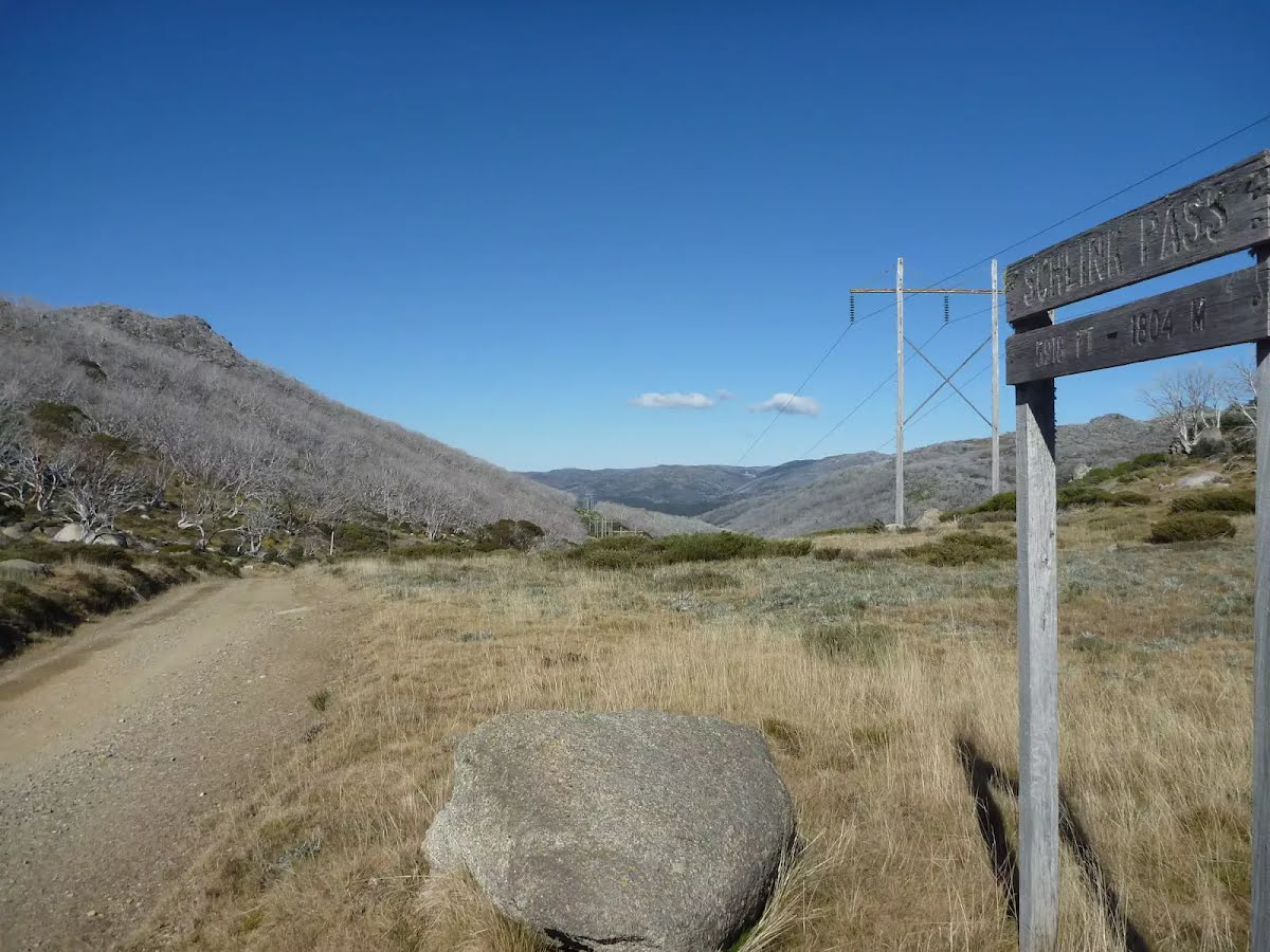
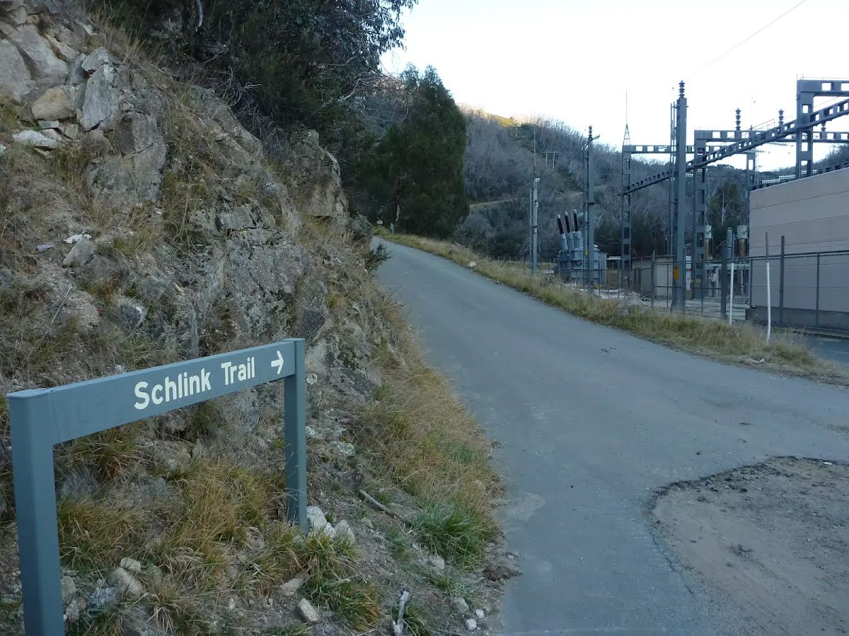
Perisher/Main Range - areas above about 1600m, including: Kosciuszko walk Thredbo to Mount Kosciuszko, Main Range walking track, Mount Kosciuszko Summit walk, Guthega to Charlotte Pass walking track, Charlotte Pass Village to Perisher walk, Perisher to Bullocks Flat walk, Mt Stillwell walk, Snowgums boardwalk, Porcupine track, Hanells Spur walk, Illawong walk, Schlink Hut walk and Dead Horse Gap walking track
:
Expect continuous snow cover:
- Skis or snowshoes recommended. Ensure footwear is waterproof, solid and with good grip.
- Take a map and compass and know how to use them. All tracks are under snow and not visible. Most don't have above snow markers.
- Take extreme caution when on all steep slopes and in icy conditions.
Sub-alpine - areas above 1500m - Rainbow Lake walk, Rennix walk, Thredbo River track
:
Expect long stretches of snow cover with occasional continuous coverage:
- Ensure footwear is waterproof, solid and with good grip. It is recommended that you carry skis or snowshoes.
- Take a map and compass and know how to use them. Sections of tracks will not be obvious and most don't have above snow markers.
- Take extreme caution when on all steep slopes due to slippery surfaces.
For more information, call the NPWS Snowy Region Visitor Centre on 02 6450 5600.
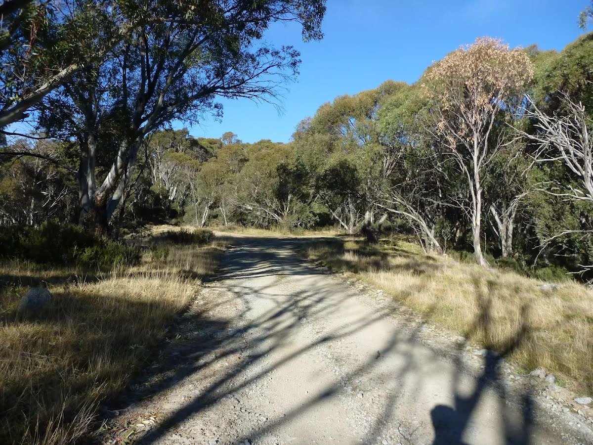
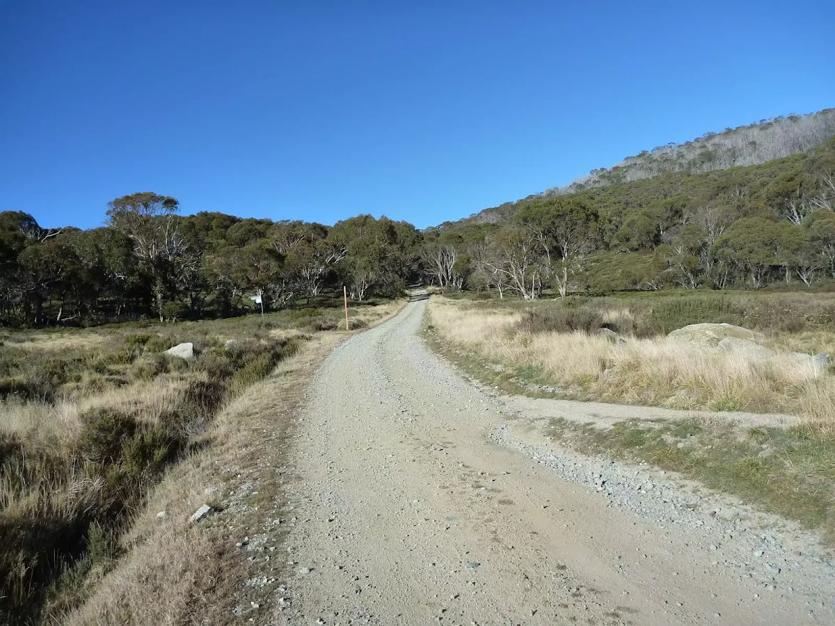
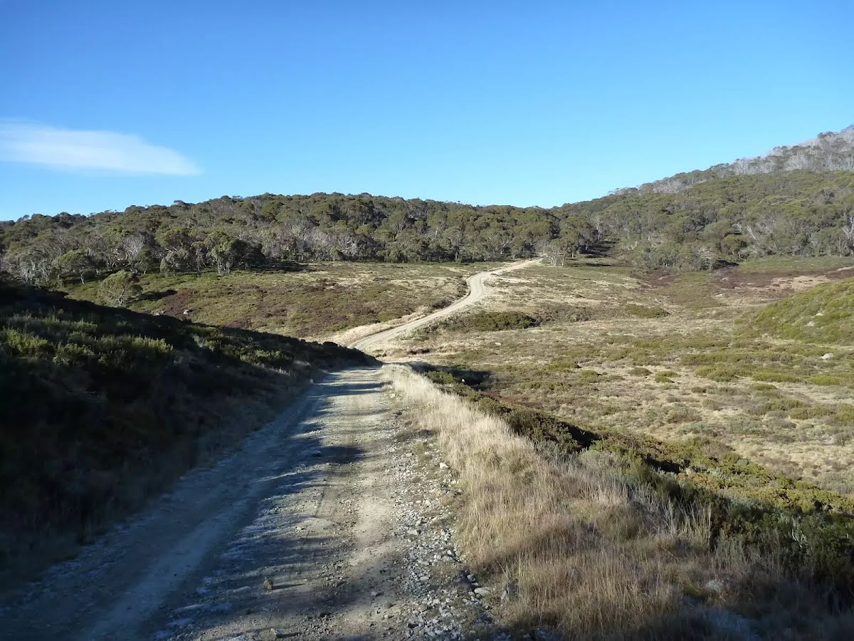
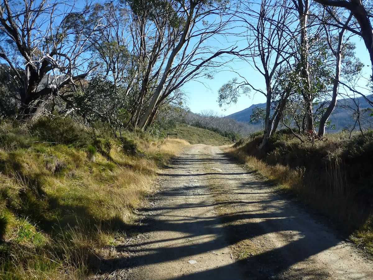
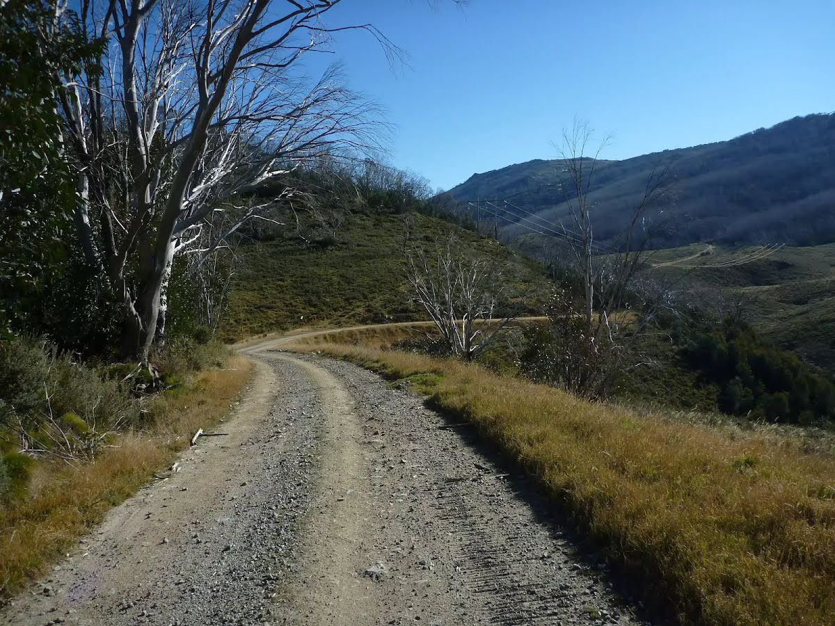
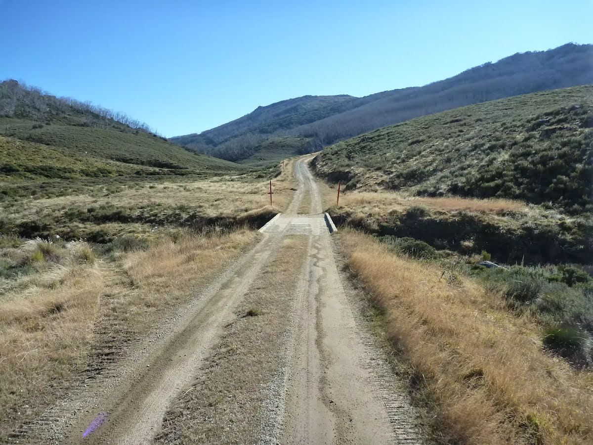
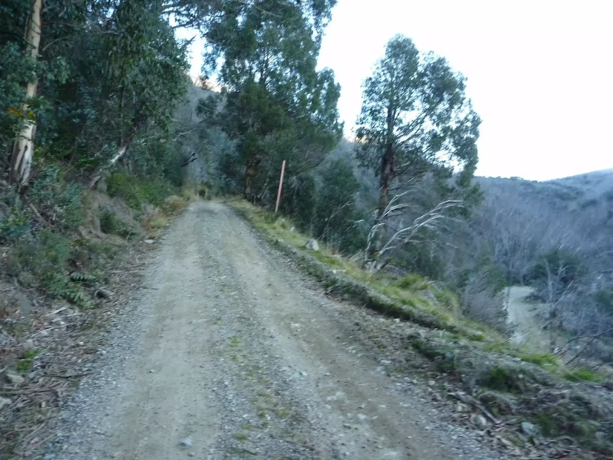
Other planned events: Winter road closures - 6 June to 6 October 2025The following roads in Kosciuszko National Park will be closed for winter from 6 June to 6 October 2025:
- KNP5 (Khancoban to Cabramurra)
- Perisher to Charlotte Pass
- Grassy Flat Trail
- Murray Gates Trail
- Kings Cross Road (from Selwyn Resort to Cabramurra - unsealed section)
- Long Plain Road
- Port Phillip Trail
- Olsens Lookout / Geehi Dam Road
- Behrs Flat trail (Behrs Flat campground and Old Geehi campground are affected visitor assets)
- Geehi Walls trail
- Major Clews trail
Other current road conditions can be found on the
RMS Live Traffic website.
Penalties apply for non-compliance.
For more information, please contact the NPWS Snowy Region Visitors Centre on 02 6450 5600 or visit the
NSW National Parks safety page for park safety guidelines.
Other planned events: Guthega Road - changed speed limit 60kmThe speed limit on Guthega Road has been reduced to 60km for the entirety of the road.
Please abide by all traffic control signage and observe all directions from NPWS staff and contractors.
To assist in planning your journey safely, please allow extra time in your travel plans and drive to conditions.
For more information, call the Snowy Region Visitor Centre, Jindabyne on 02 6450 5600.
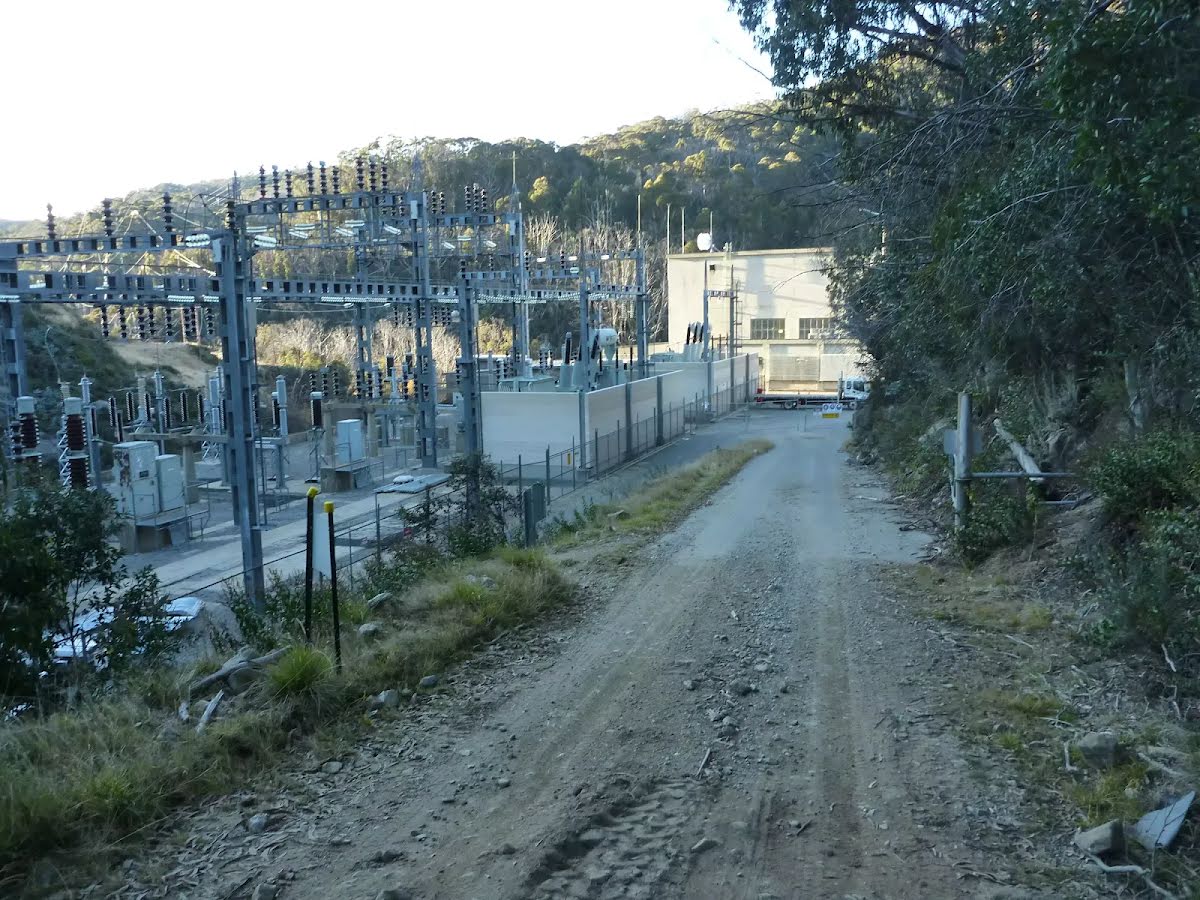
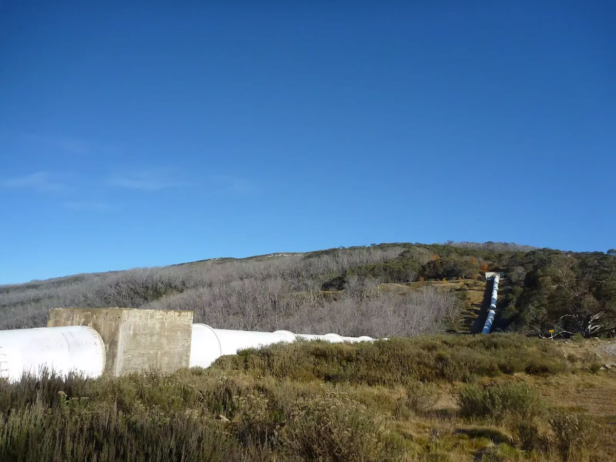
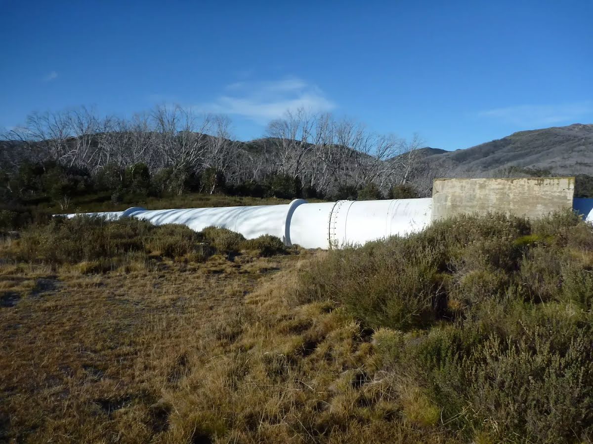
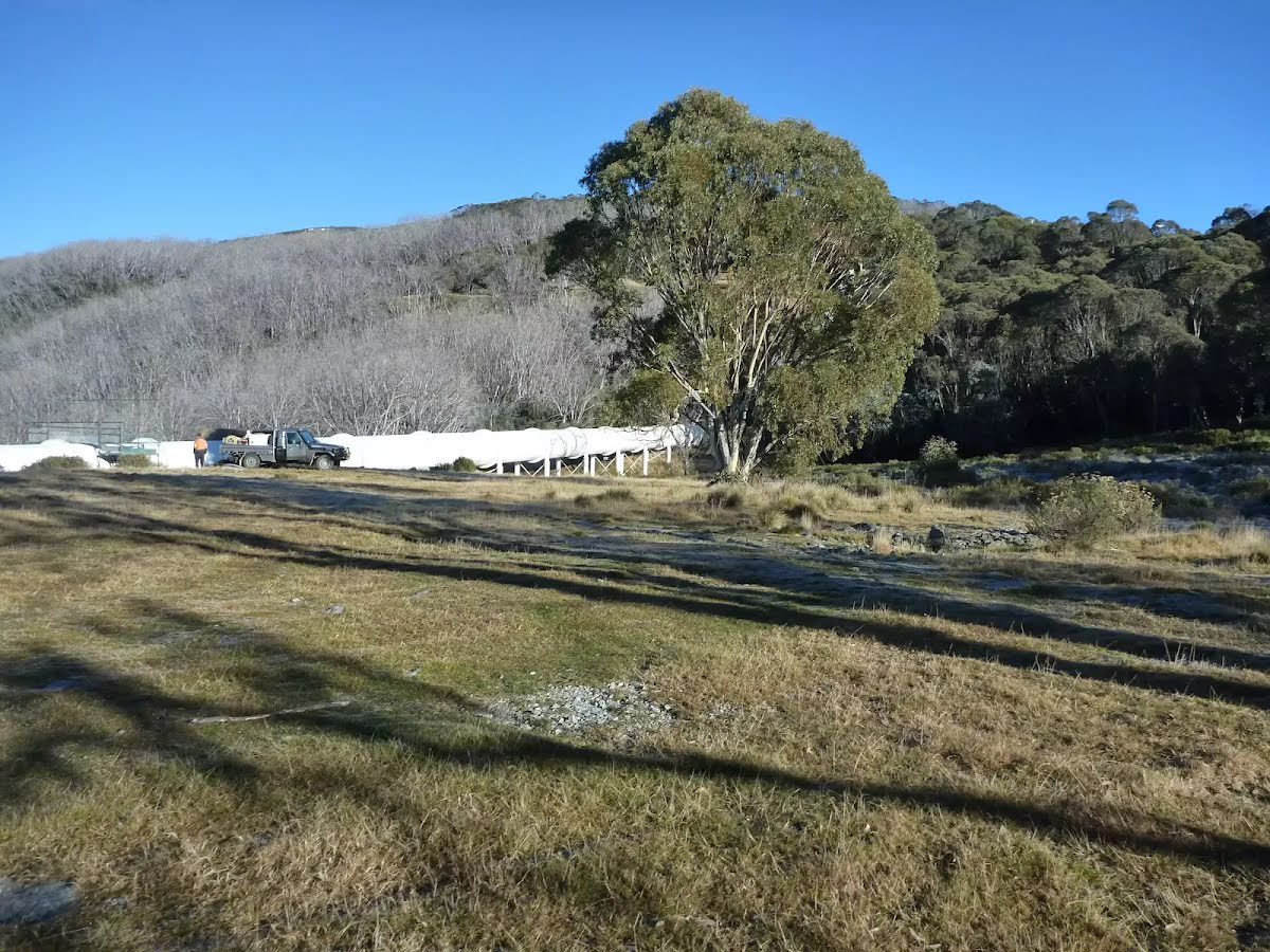
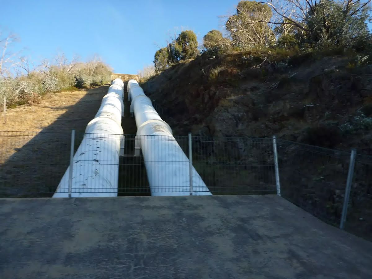
Safety alerts: Increased heavy traffic and roadworks around Wares Yards Campground accessThere is an increase in heavy machinery and light vehicle movements on the Snowy Mountains Highway (between Cooma to Tumut) and Link and Tantangara Roads within Kosciuszko National Park due to the Snowy 2.0 project. Visitors are likely to encounter heavy machinery and trucks whilst accessing Wares Yards campground, this will continue for a number of years and involves the use of specialised heavy vehicle combinations for transporting materials associated with the project.
Other planned events: Ongoing increased traffic and roadworksThere is an increase in heavy and light vehicle movements on the Snowy Mountains Highway (between Cooma to Tumut) and Link and Tantangara Roads within Kosciuszko National Park. This traffic will continue for a number of years and involves the use of specialised heavy vehicle combinations for transporting materials associated with the Snowy 2.0 project and other projects in the region.
There will also be ongoing maintenance and upgrades to roads in the area as part of the project, particularly along Link and Tantangara Roads.
To assist in planning your journey safely, please check for alerts on the NSW National Parks and Wildlife Service website.
For more information, call the NPWS Tumut area office on 02 6947 7000 or the Snowy 2.0 FGJV team community hotline on 1800 766 992.
Other planned events: Yarrangobilly Village campground partial closure for rehabilitation worksYarrangobilly Village campground will be partially closed for rehabilitation works from Monday 14 April to Friday 19 December 2025. Camping at Yarrangobilly Village campground will still be available during this time in a restricted area.
For further information please call NPWS Tumut office on (02) 6947 7000.
Closed areas: Closed areas due to Snowy 2.0 worksThe following areas are closed due to the Snowy 2.0 works from Monday 25 February 2019 until early 2027, unless the closure is extended or removed:
- Lobs Hole Ravine Road 4WD trail
- Wallace Creek lookout
- Lobs Hole Ravine campground
Penalties apply for non-compliance. For more information, please call the NPWS Tumut area office on 02 6947 7000 or visit the
NSW National Parks safety page for park safety guidelines.
Closed areas: Tantangara Reservoir partial closureSome parts of Tantangara Reservoir will be closed intermittently until further notice for Snowy 2.0 construction activities involving controlled blasts. Full exclusion zones will be established prior to and during blast operations. The closed areas are:
- Areas of Tantangara Reservoir adjacent to the Snowy 2.0 construction site.
- Tantangara Reservoir boat ramp, adjacent to the Tantangara Dam wall.
- For up-to-date timings on controlled blasts please see notifications on the Future Generation website.
Penalties apply for non-compliance. For more information, contact the local NPWS office.
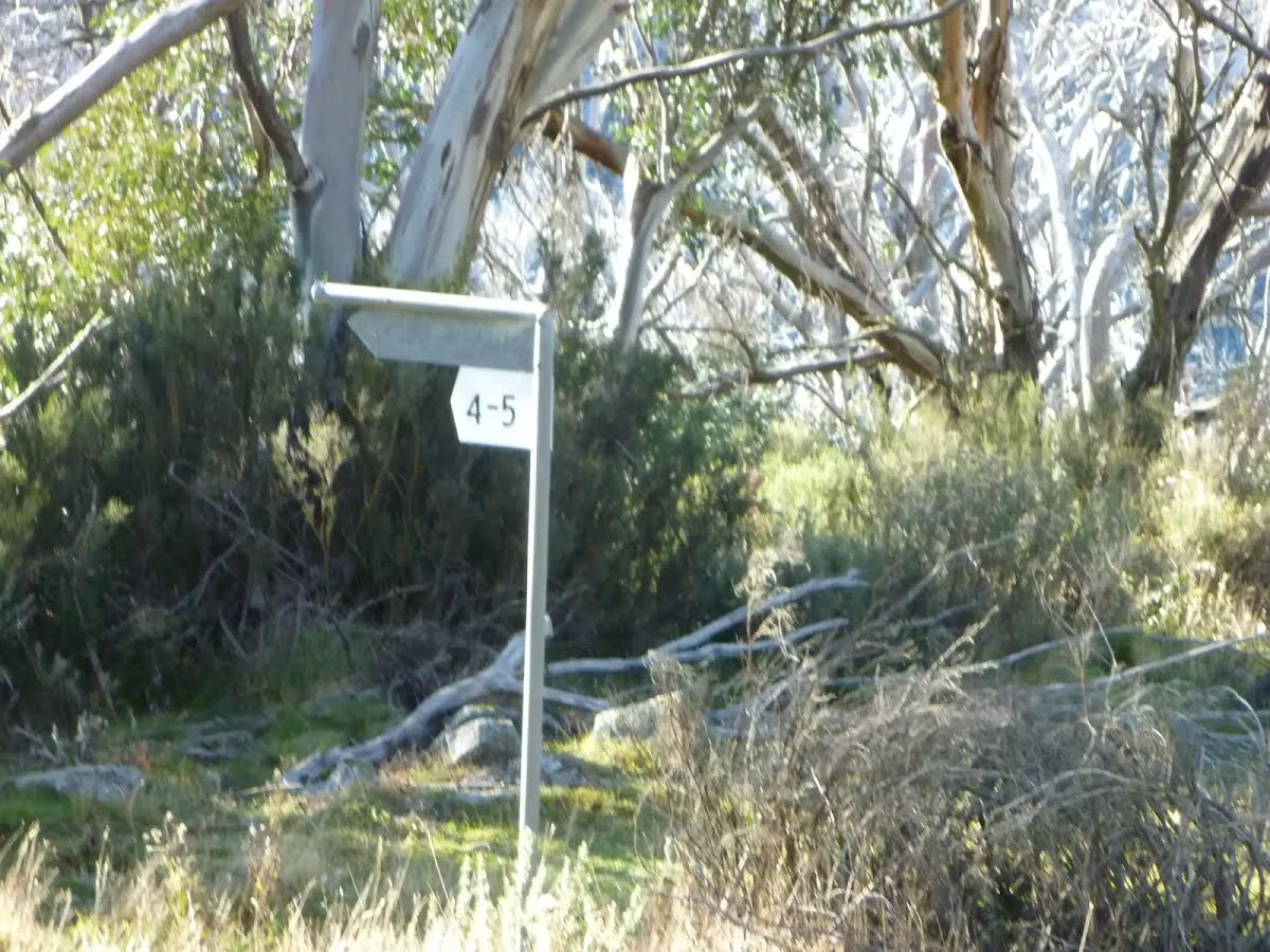
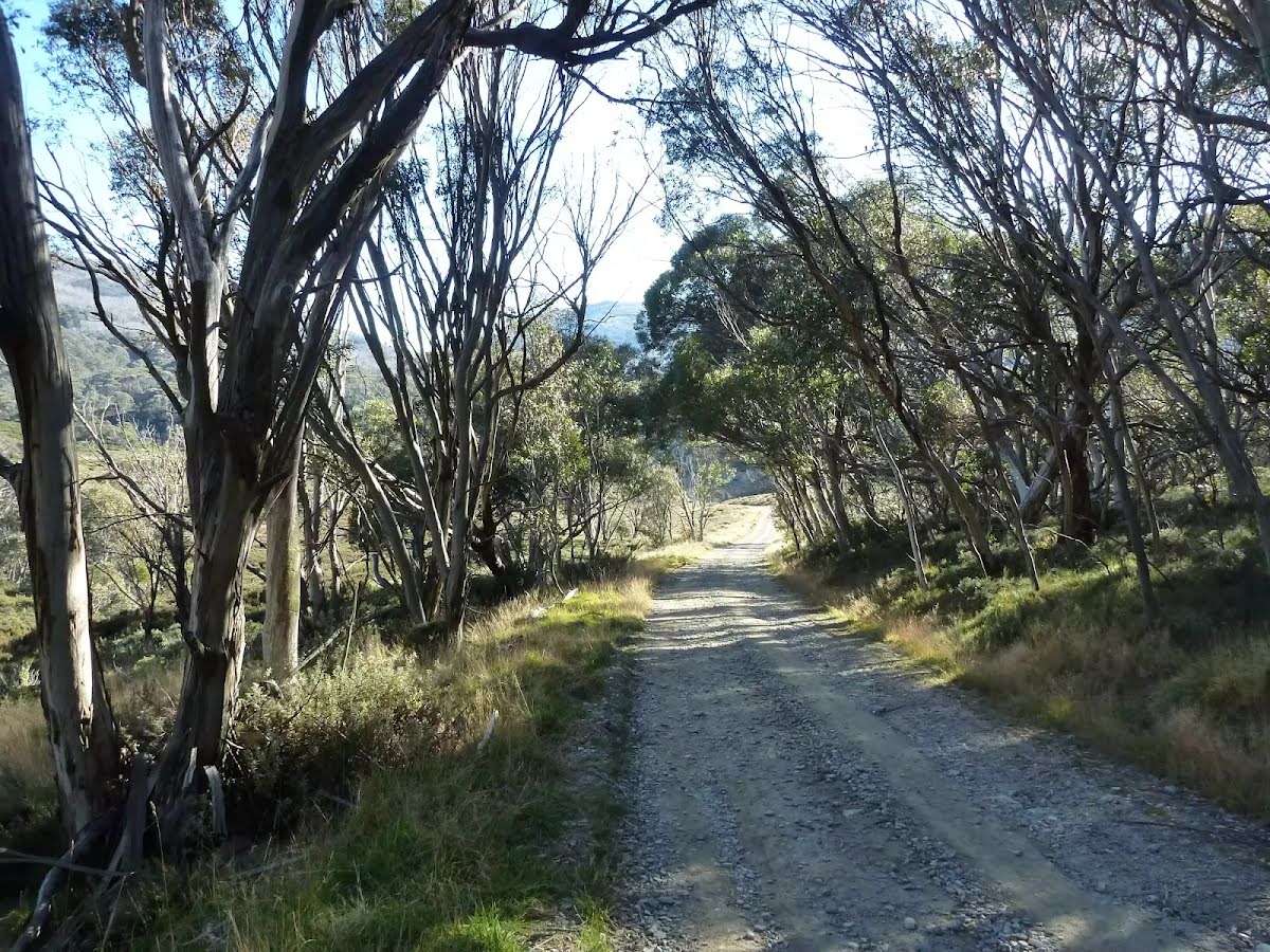
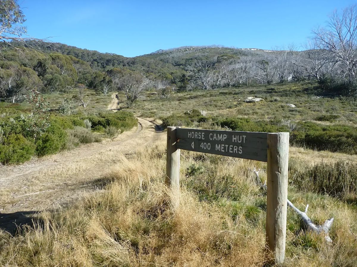
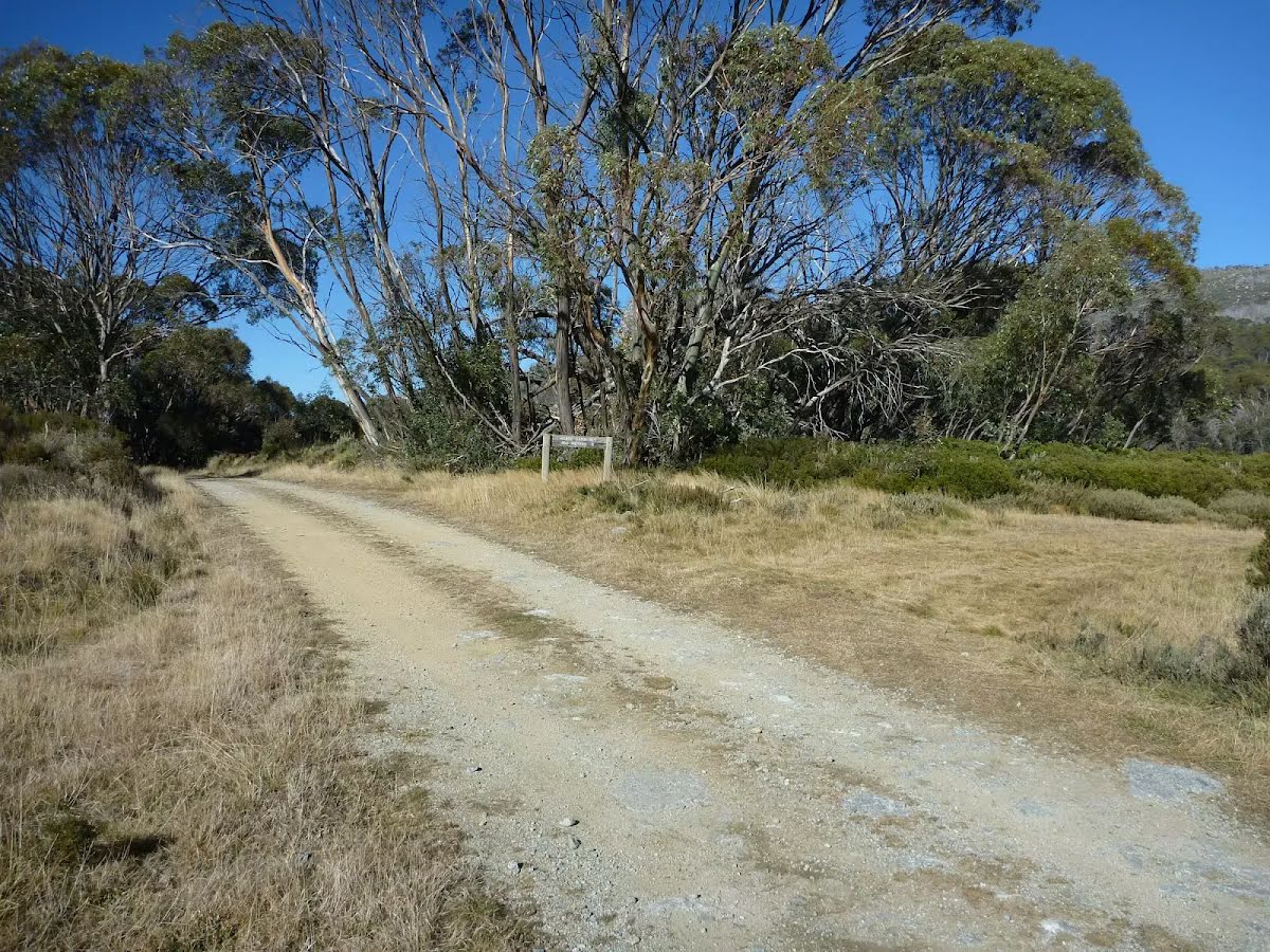
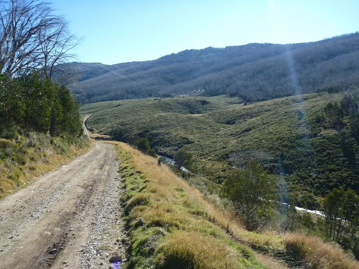
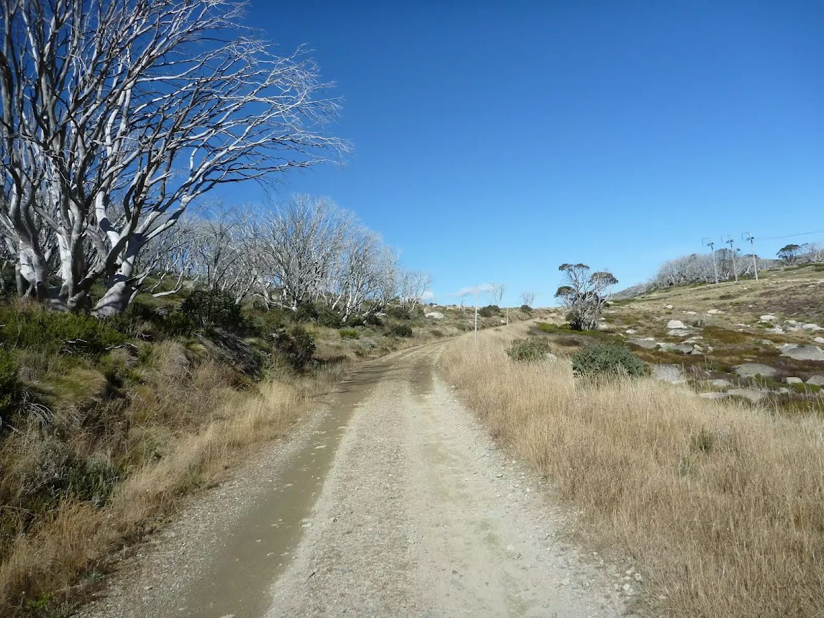
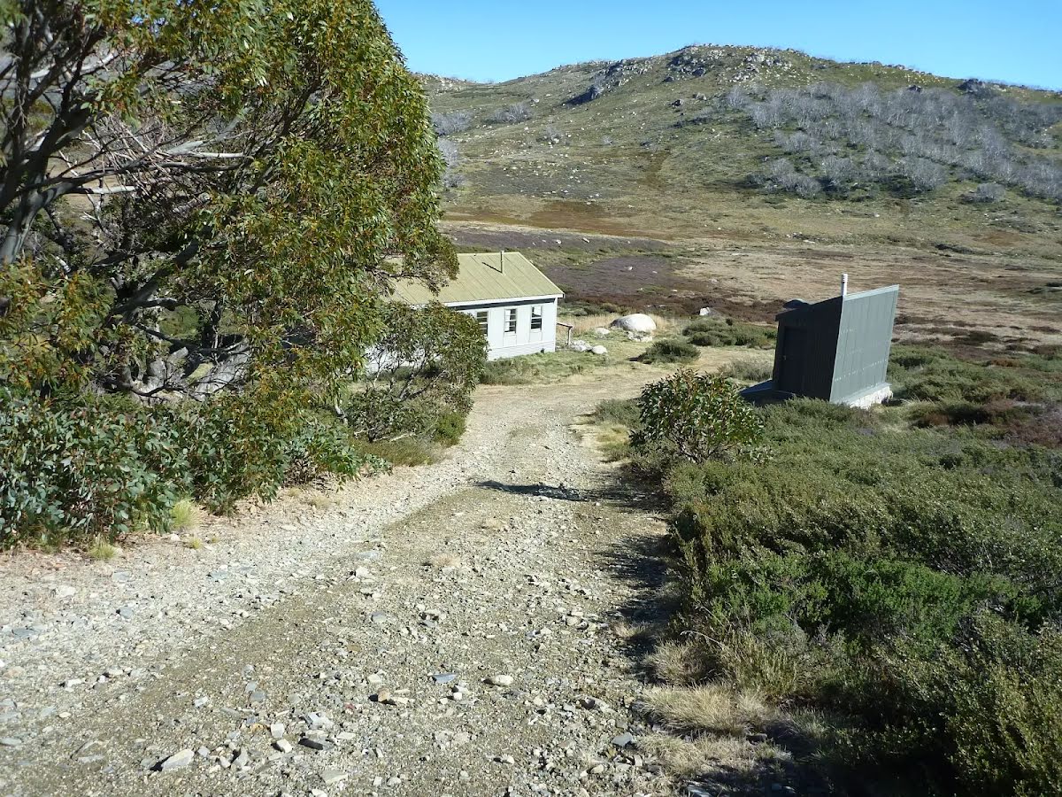
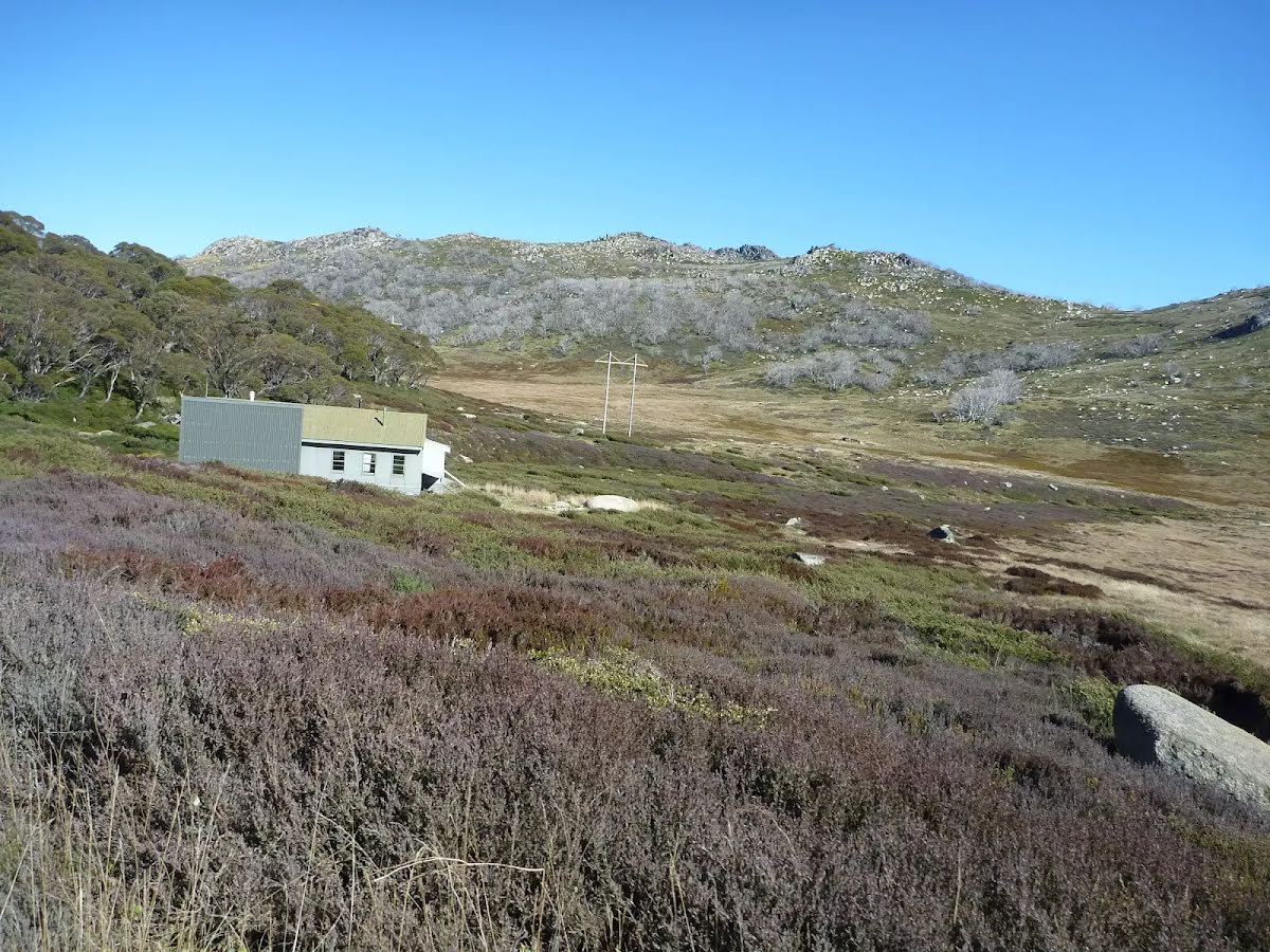
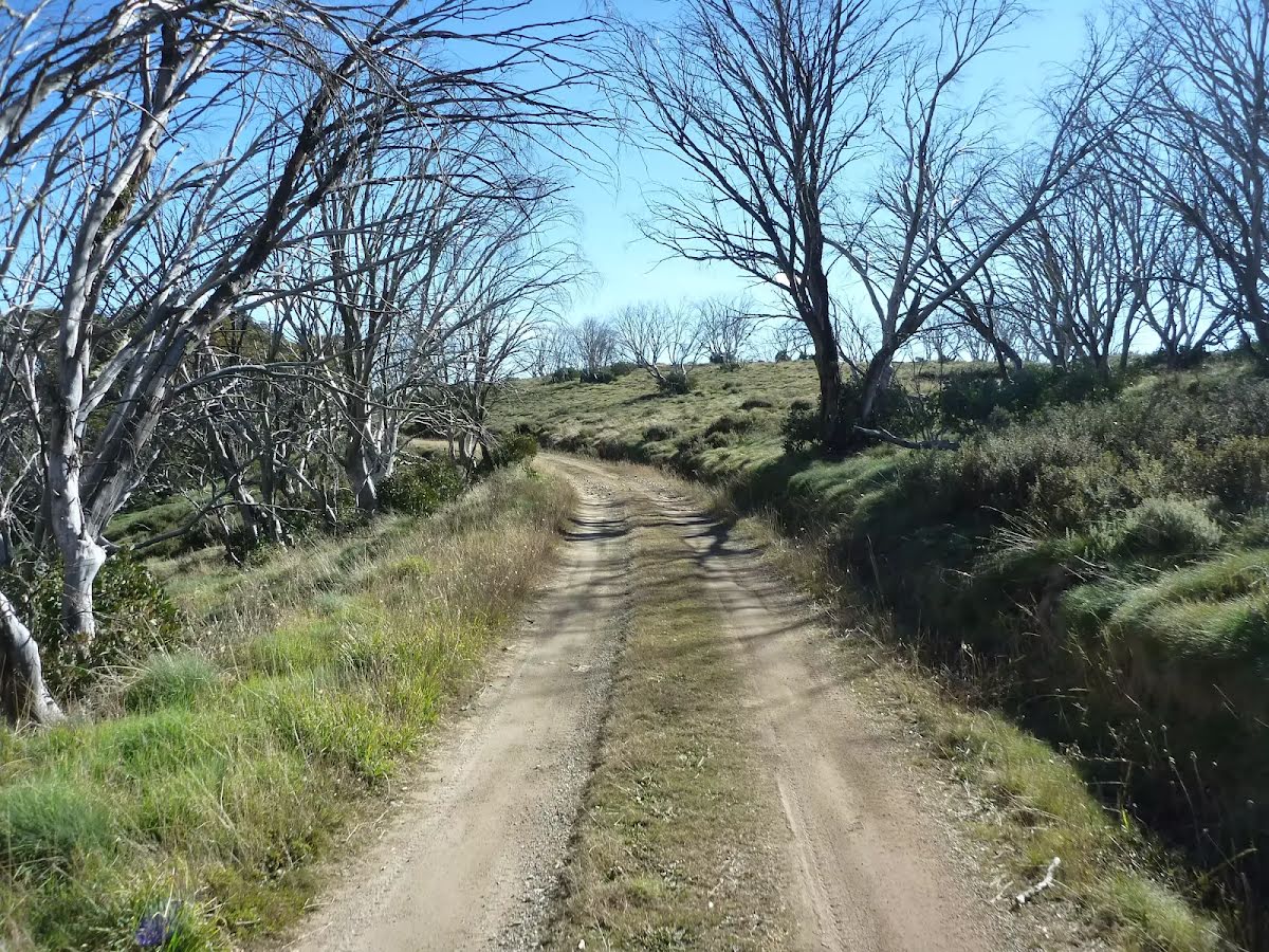
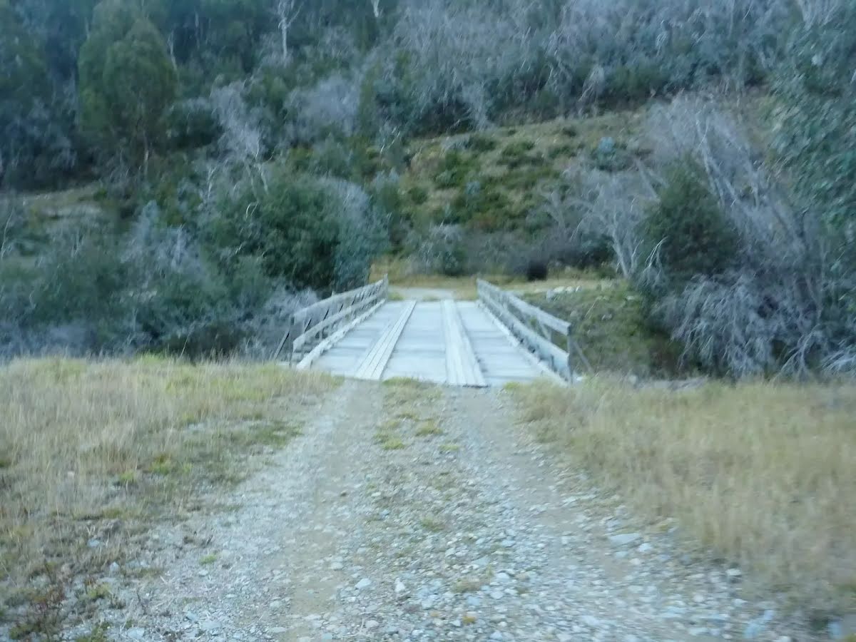
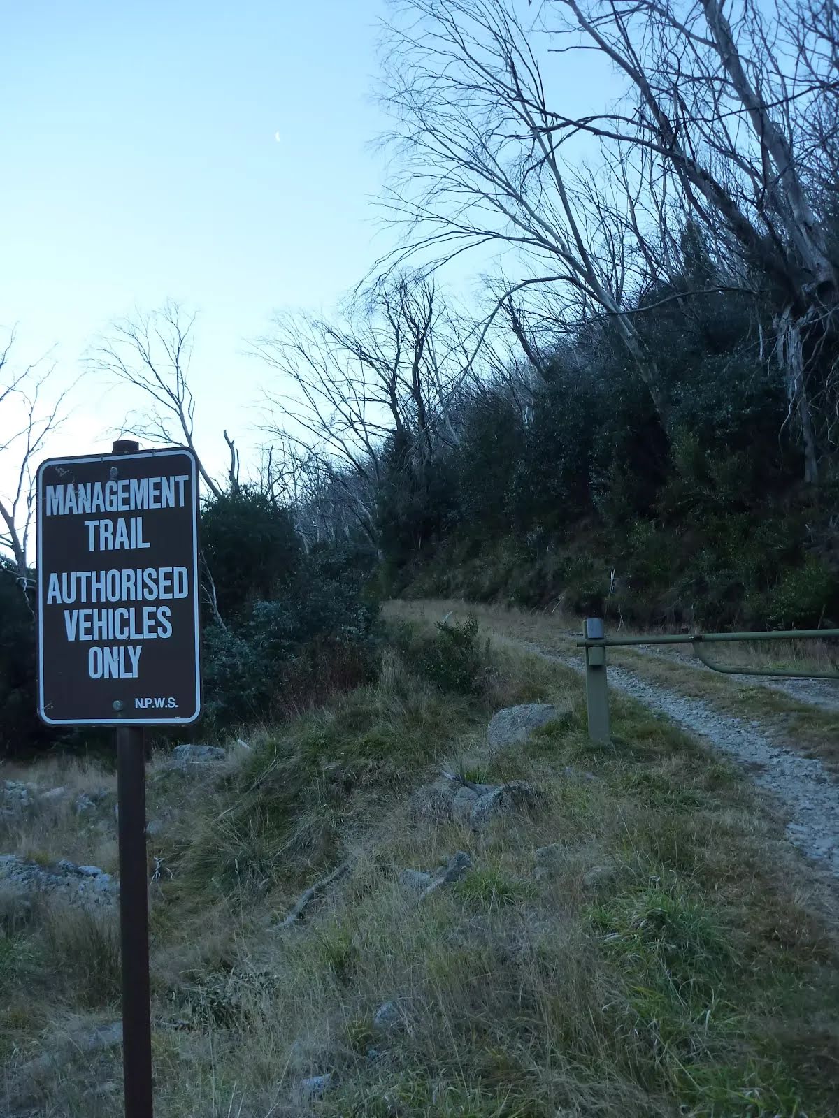
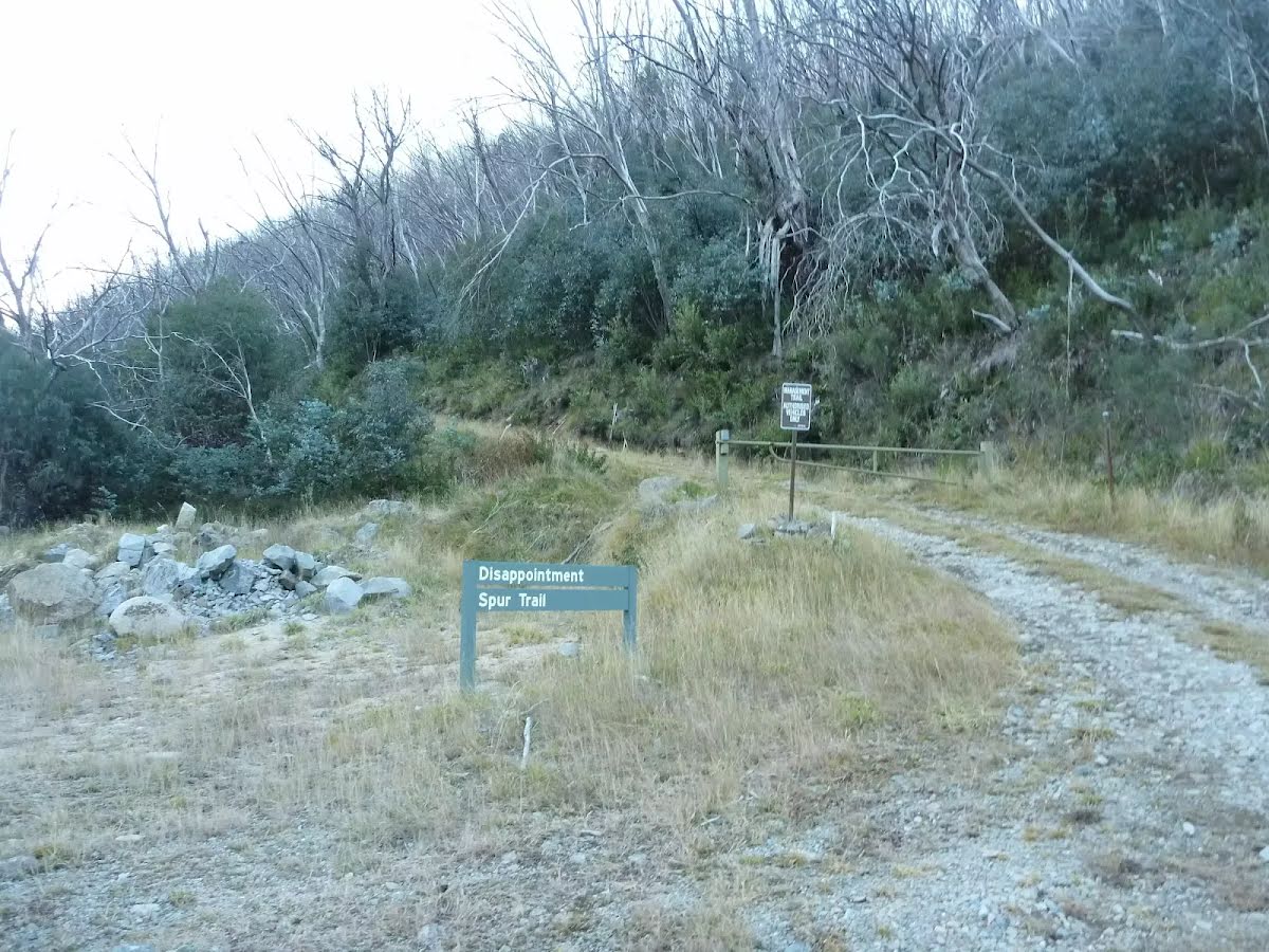
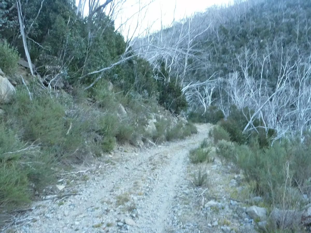
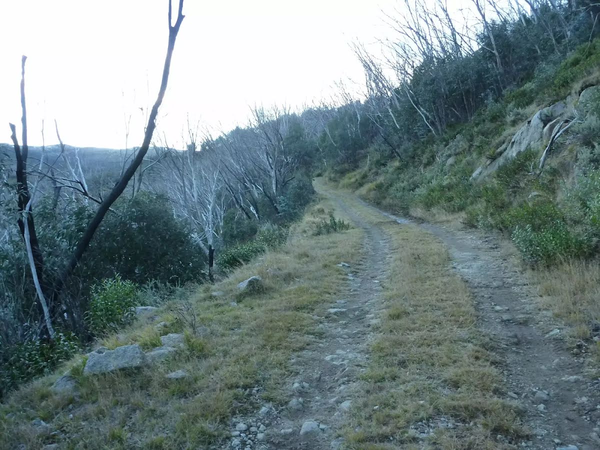
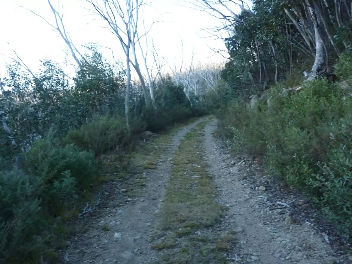
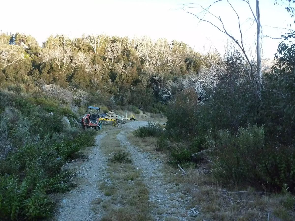
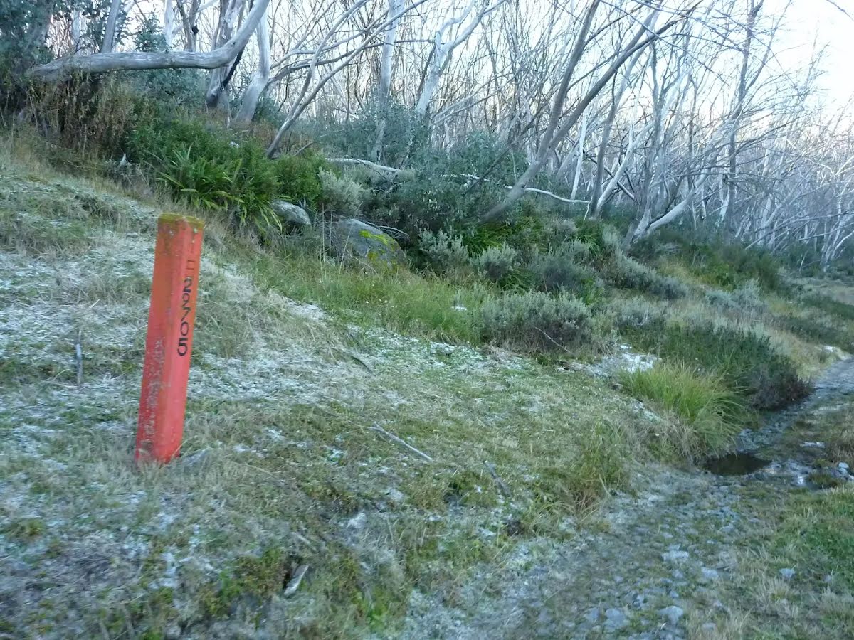
Closed areas: Thredbo Valley Tracks partial closureThe Thredbo Valley Track is now closed to cyclists for winter between Thredbo Resort and Gaden Trout Hatchery. The track between Gaden and Thredbo River Picnic Area is open for cycling.
Walking is permitted between:
- Thredbo Resort and Ngarigo campground
- Bullocks Flat to Gaden, and
- Bullocks Walking track.
Ngarigo campground to Bullocks Flat remains closed to all users due to track conditions and maintenance works in progress.
Penalties apply for non-compliance. Please contact the Snowy Region Visitor Centre for further information.
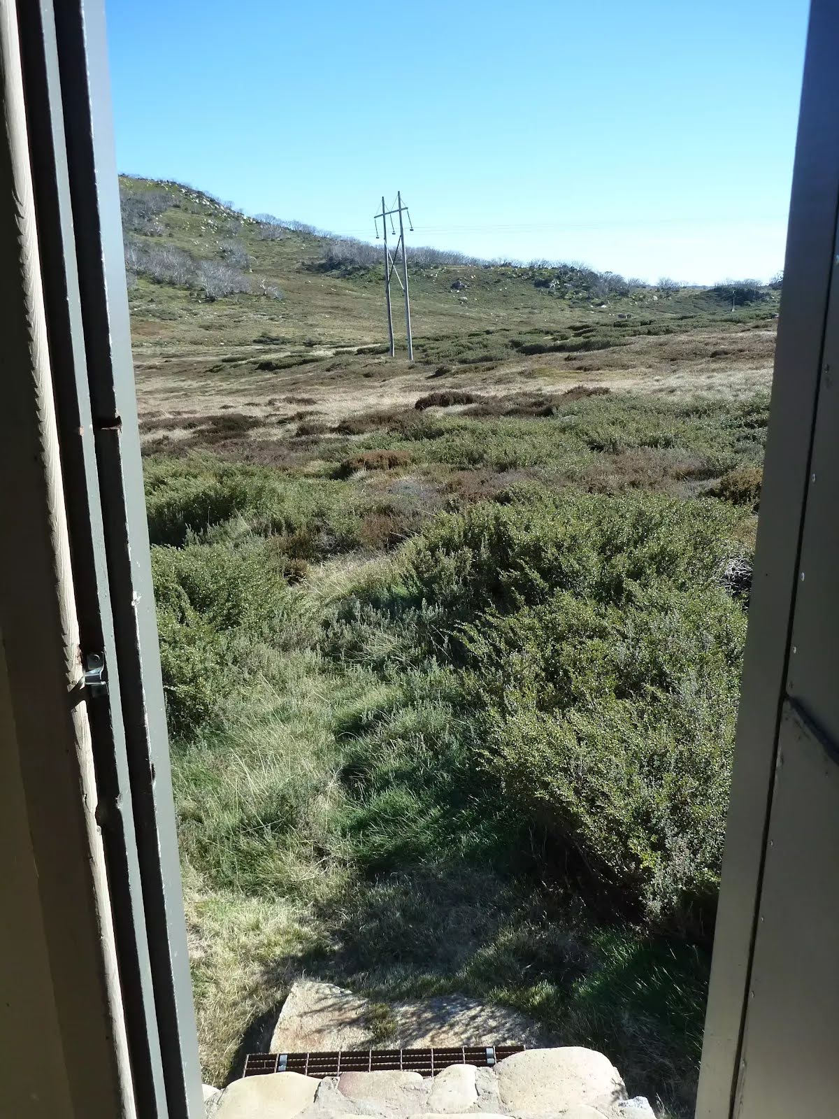
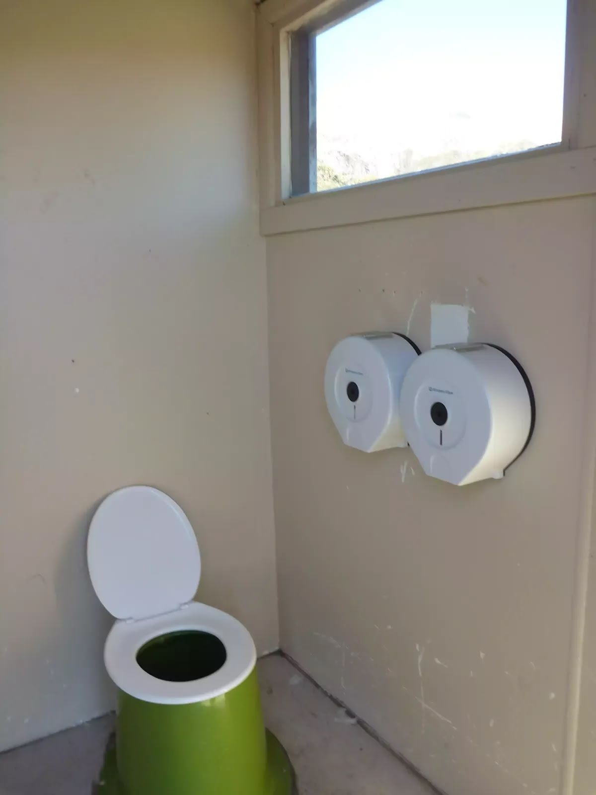
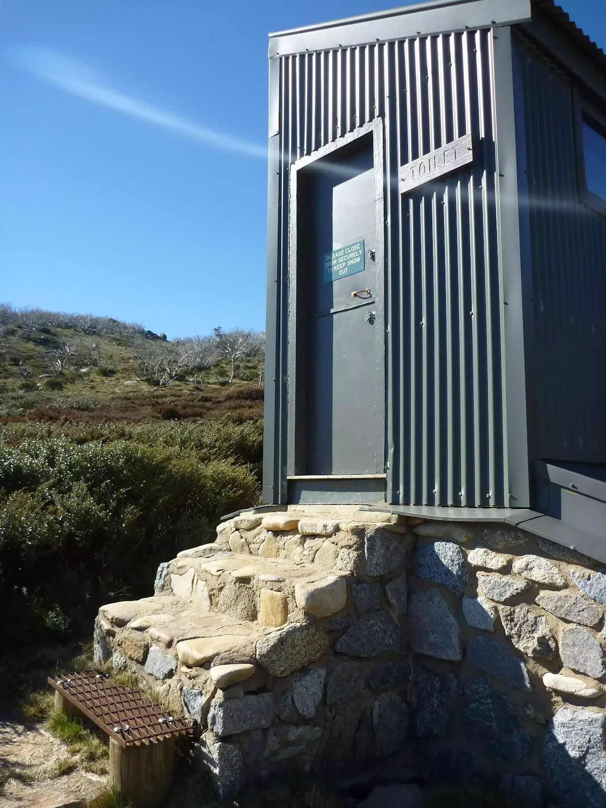
Closed areas: Rawson Pass toilet closed for winterRawson Pass toilet is closed until the end of winter 2025. Seamans Hut toilet will remain open all winter.
You are encouraged to carry out your human waste when toilets are not available on the Main Range. Please refer to these resources for more information:
For more information, contact the local NPWS office.
Other planned events: Buddong Falls Campground - access from Laurel Hill closed due to Forestry Corporation operationsAccess to Buddong Falls campground and Buddong Falls track from Laurel Hill is closed due to Forestry Corporation operations on Browns Road. Access is still possible from the Elliott Way, following Bago Powerline Road until it becomes Bago Boundary Road.
For more information, contact the Tumut NPWS office (02) 6947 7000.
Other planned events: Notice of ongoing 1080 wild dog and fox baiting programNSW National Parks and Wildlife Service (NPWS) will be conducting a baiting program in the north east precinct of Kosciuszko National Park, Scabby Range and Yaouk Nature Reserves within the Adaminaby/Yaouk wild dog control area.
The program will be continuous and ongoing between 1 March 2025 and 31 August 2025, and will use meat baits and canid pest ejectors containing 1080 (sodium fluroacetate) poison for the control of wild dogs and foxes.
All baiting locations will be identifiable by signs.
Domestic pets are not permitted in NSW national parks and reserve. Pets and working dogs may be affected, and 1080 is lethal to cats and dogs. Pets and working dogs in the vicinity must be restrained or muzzled and must not enter the baiting location. In the event of accidental poisoning seek immediate veterinary assistance.
For further information please call the NPWS Tumut area office on 02 6947 7000.
Other planned events: Tom Groggin camping area - upgrade worksThe NSW National Parks and Wildlife Service (NPWS) and contractors will be undertaking upgrade works at Tom Groggin camping area throughout 2025. These works will include additions to campground facilities, including fire pits and picnic tables, rehabilitation planting, restoration of damaged campground surfaces, and construction of a new shelter at the day use area.
As a result, some areas of the lower campground will be closed to camping throughout winter 2025 to allow surfaces to rehabilitate. The majority of Tom Groggin will remain open to camping.
Visitors may experience some delays during construction works. Please comply with all instructions from NPWS staff and contractors. Penalties apply for non-compliance.
For more information please contact the NPWS Jindabyne office on 02 6450 5555.
Other planned events: Notice of ongoing 1080 programA baiting program using meat baits and canid pest ejectors containing 1080 (sodium fluoroacetate) poison will be conducted from Saturday 22 March 2025 to Monday 22 September 2025 in Kosciuszko National Park.
The program will be conducted in the northern precinct of the park, which includes the following areas:
- Goobarragandra
- Blowering foreshores
- Big Talbingo/ Buddong
Entry into baiting locations will be identifiable by signs.
Domestic pets are not permitted in NSW national parks and reserves. Pets and working dogs may be affected (1080 is lethal to cats and dogs). Pets and working dogs must be restrained or muzzled in the vicinity and must not enter the baiting location. In the event of accidental poisoning seek immediate veterinary assistance.
For further information, please call the NPWS Tumut area office on 02 6947 7000.
Other planned events: Notification of Ongoing 1080 Baiting - Wild Dogs/FoxesThe NSW National Parks and Wildlife Service (NPWS) will be conducting an ongoing baiting program from
Saturday 8 February 2025 to Thursday 7 August 2025. The operation will use 1080 (sodium fluoroacetate) poison for the control of wild dogs and foxes. This program is designed to minimise predator impacts on wildlife, especially threatened species, and to minimise the impact of wild dogs on neighbouring stock.
Baiting programs will take place across Kosciuszko National Park in Thredbo/Ingebyra, Dalgety/Paupong and Corrowong/Tombong/Merriangaah Wild Dog Plan Areas. Baiting programs will also be undertaken in Paupong, Merriangaah and Quidong Nature Reserves.
This includes the following sections of Kosciuszko National Park: Thredbo Valley, Moonbah, Ingebyra, Paupong, Numbla Vale and Corrowong.
Signs will be placed at the entry to the baiting location. Domestic pets are not permitted in NSW National Parks managed lands. Pets and working dogs may be affected (1080 is lethal to cats and dogs). Pets and working dogs must be restrained or muzzled in the vicinity and must not enter the baiting location. In the event of accidental poisoning seek immediate veterinary assistance.
For further information, please call the Jindabyne area office on 02 6450 5555.
Closed areas: Kosciuszko National Park closed sitesA number of sites in Kosciuszko National Park are closed or may have other restrictions until further notice.
Road Closures
Olsens Road BEYOND Geehi Dam. Olsens Road remains open from the Alpine Way to Geehi Dam.
Fire-affected areas
Some sections of Kosciuszko National Park which burnt during the 2019/2020 fires remain closed. These areas include:
- Wolgal and Pattinson's Huts
Huts that burnt down in the 2020 fires
These locations remain open, but the following huts or buildings have been lost:
- Linesman's No.3 Huts, Round Mountain Hut, and Dry Dam Ski Shelter.
- Warning: Please take care as there may be broken glass/nails that are uncovered since NPWS made records and cleaned up these sites. Please do not disturb the sites or remove artefacts.
Snowy 2.0 works affecting access to Tantangara Road and Tantangara Dam
- Access to the southern end of Tantangara Reservoir via Quarry trail is closed to the public.
- Access to the southern end boat ramp is open, but may be subject to short-term closures.
- Current boating and camping access to Tantangara Reservoir will still be available at access points on the northern end of the reservoir, via Port Phillip and Dam trails.
Do not enter closed areas in Kosciuszko National Park.
Penalties apply for non-compliance. For more information, contact the local NPWS office.
Other planned events: Notification of Ongoing 1080 Baiting - Wild Dogs/FoxesNSW National Parks and Wildlife Service (NPWS) is conducting an ongoing ground baiting program from 24th February 2025 to 24th August 2025 . The operation will use 1080 (sodium fluoroacetate) poison for the control of feral animals including wild dogs and foxes.
The program will take place in Kosciuszko National Park and Clarkes Hill, Bogandyera and Jingellic Nature Reserves.
The program is designed to minimise predator impacts on wildlife, especially threatened species, and to minimise impact of wild dogs on neighbouring stock.
Signs will be placed at the entry to the baiting location. Domestic pets are not permitted in NSW National Parks managed lands. Pets and working dogs may be affected (1080 is lethal to cats and dogs). Pets and working dogs must be restrained or muzzled in the vicinity and must not enter the baiting location. In the event of accidental poisoning seek immediate veterinary assistance.
Please contact the local Khancoban NPWS area office for more information on 02 6070 8400.
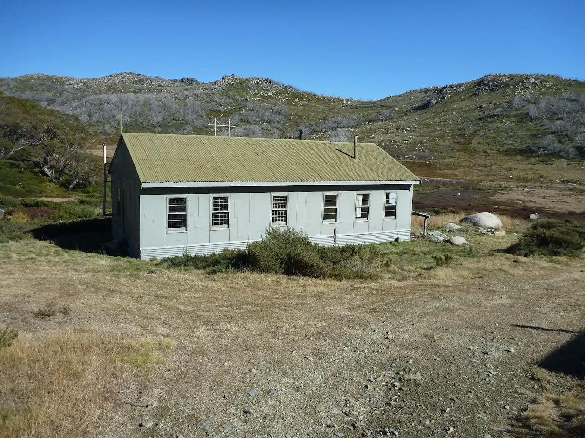
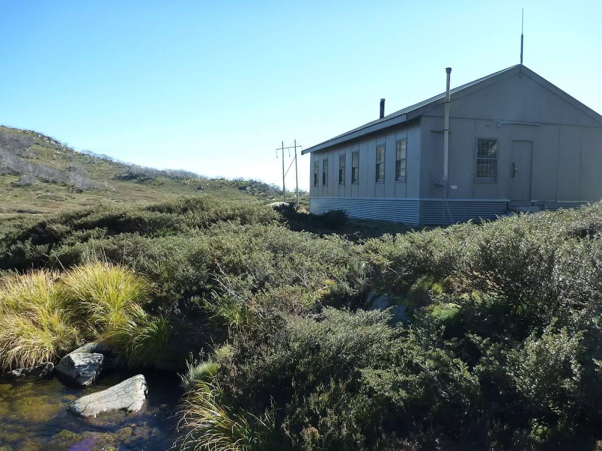
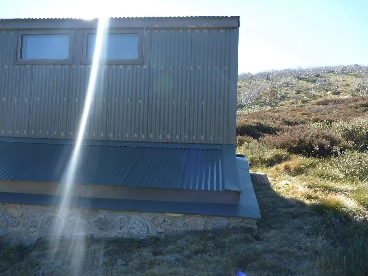
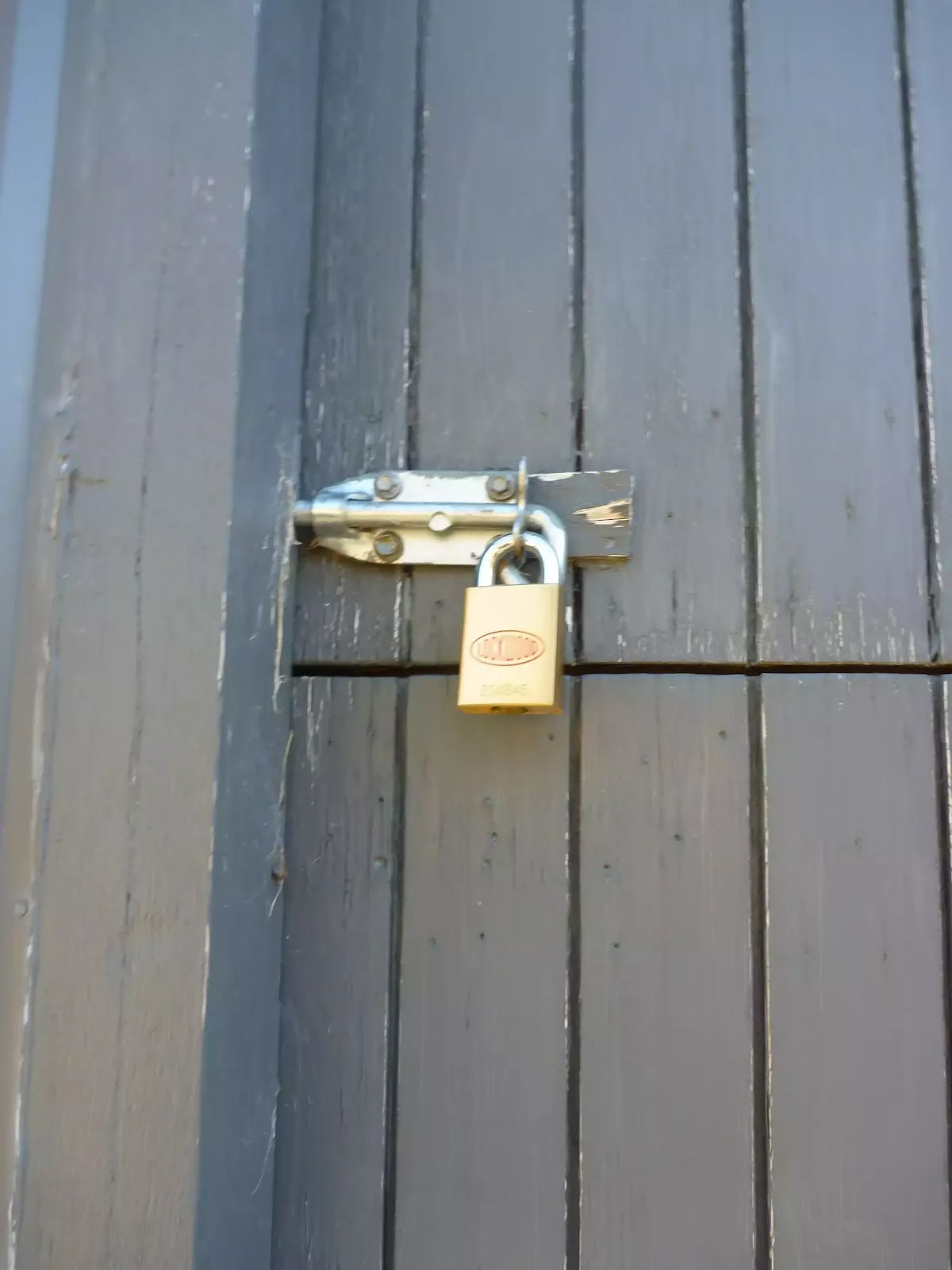
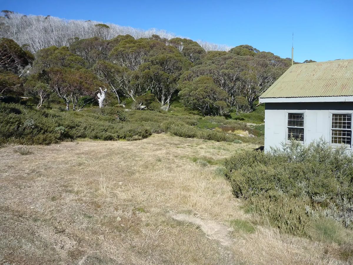
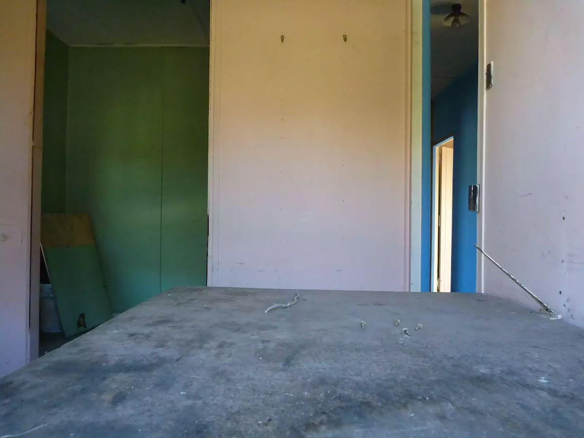
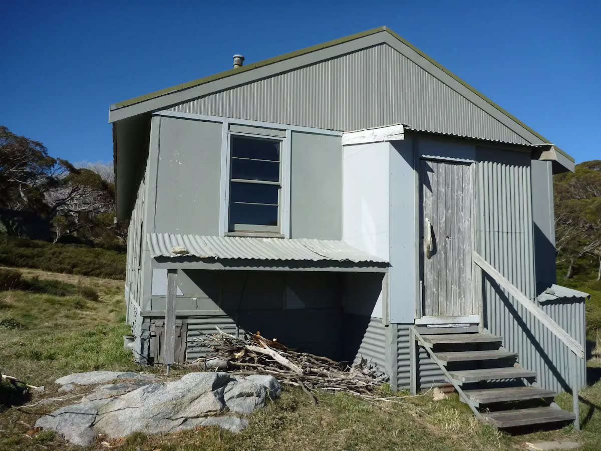
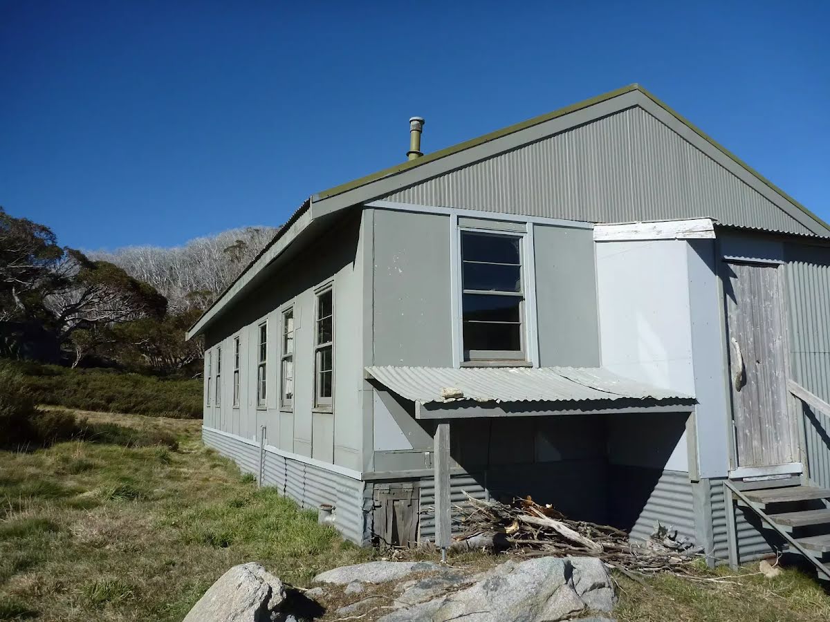
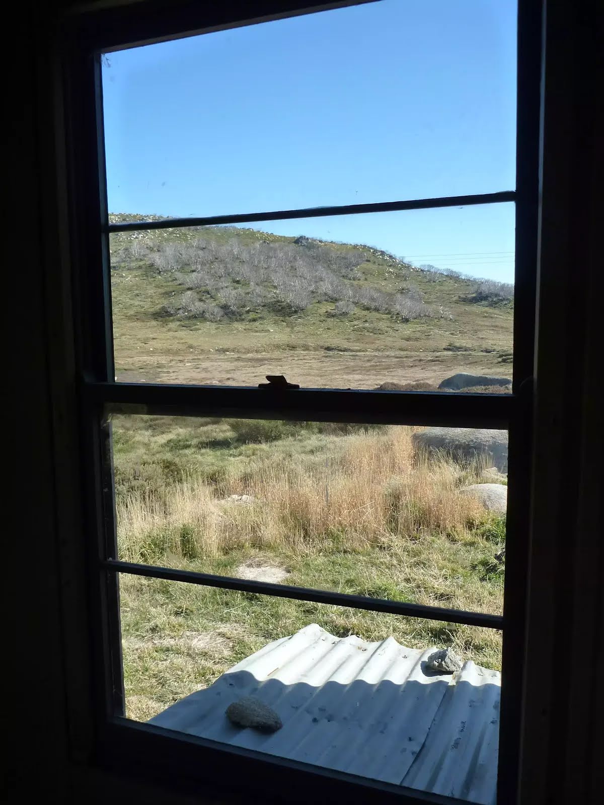
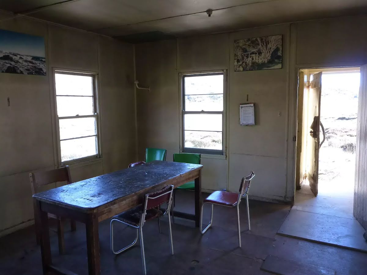
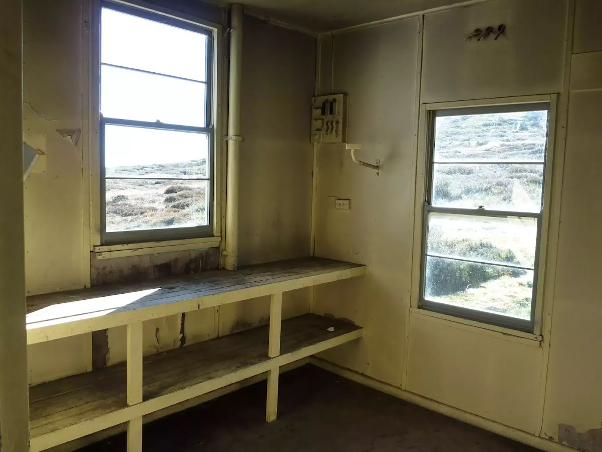
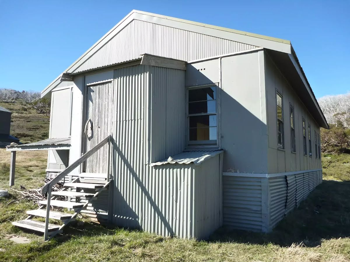
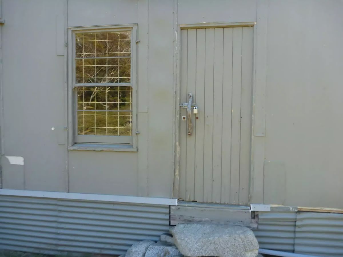
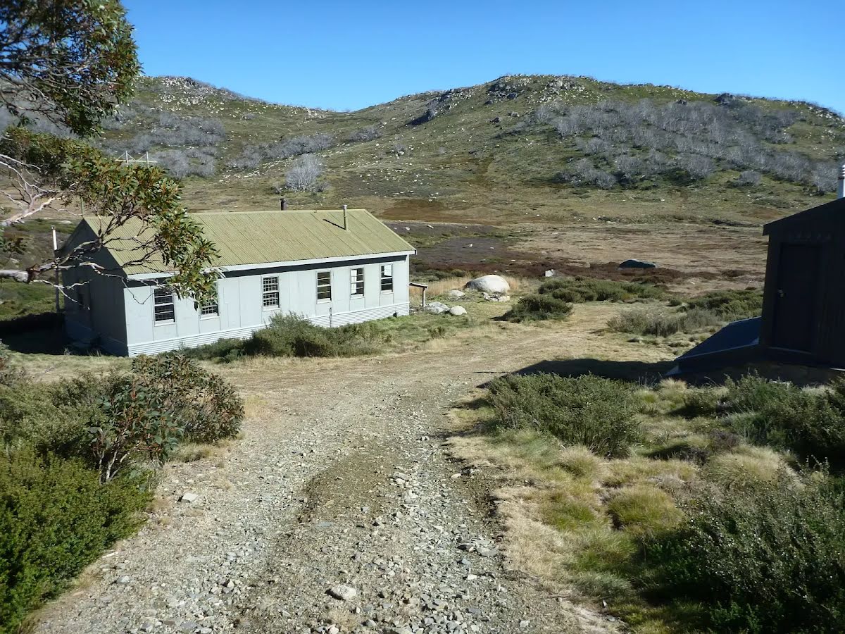
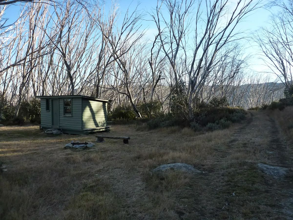
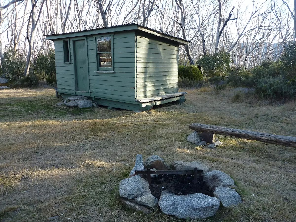
Closed areas: Bullocks Hut closedSeveral buildings in the Bullocks Hut complex are closed until further notice for restoration works. Please do not enter the construction sites.
Penalties apply for non-compliance.
For more information, call the Snowy Region Visitor Centre on 02 6450 5600 or visit the
NSW National Parks safety page for park safety guidelines.
Alert kindly provided by © NSW Nataional Parks and Wildlife Service