


| Start | (-33.1102789,151.6463063) |
| Mode | Bus Car (There is free parking available.) |
| Directions | From Pacific Highway, A43
|
| Finish | (-33.1137147,151.6139985) |
| Mode (end) | Car Shuttle Bus Car (There is free parking available.) |
| Turn map | Directions & comments |
|---|---|
 |
|
 |
|
 |
|
 |
|
 |
|
 |
|
 |
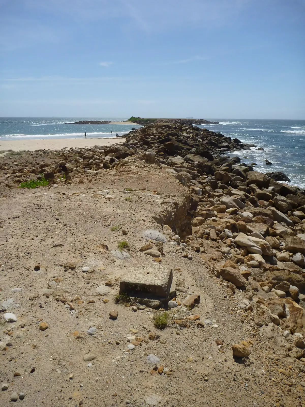
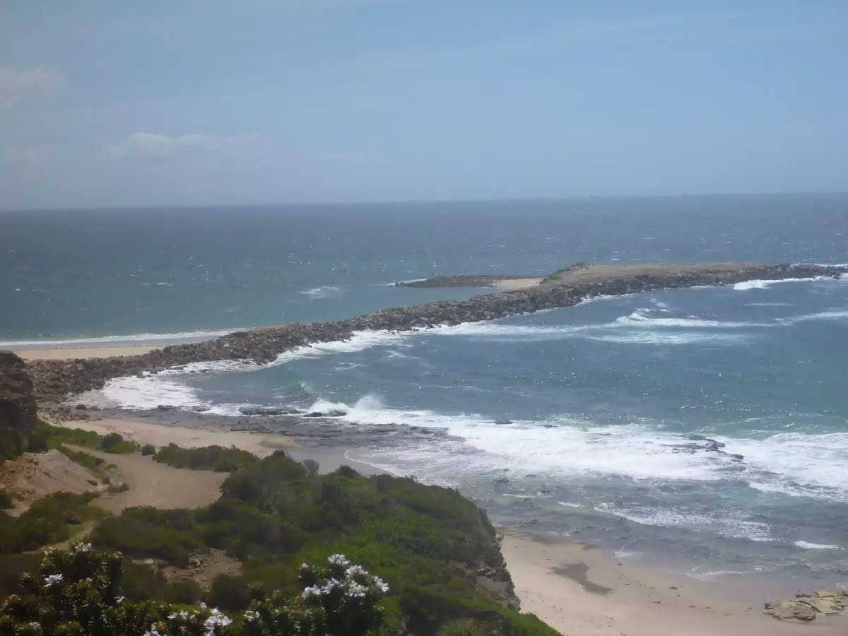
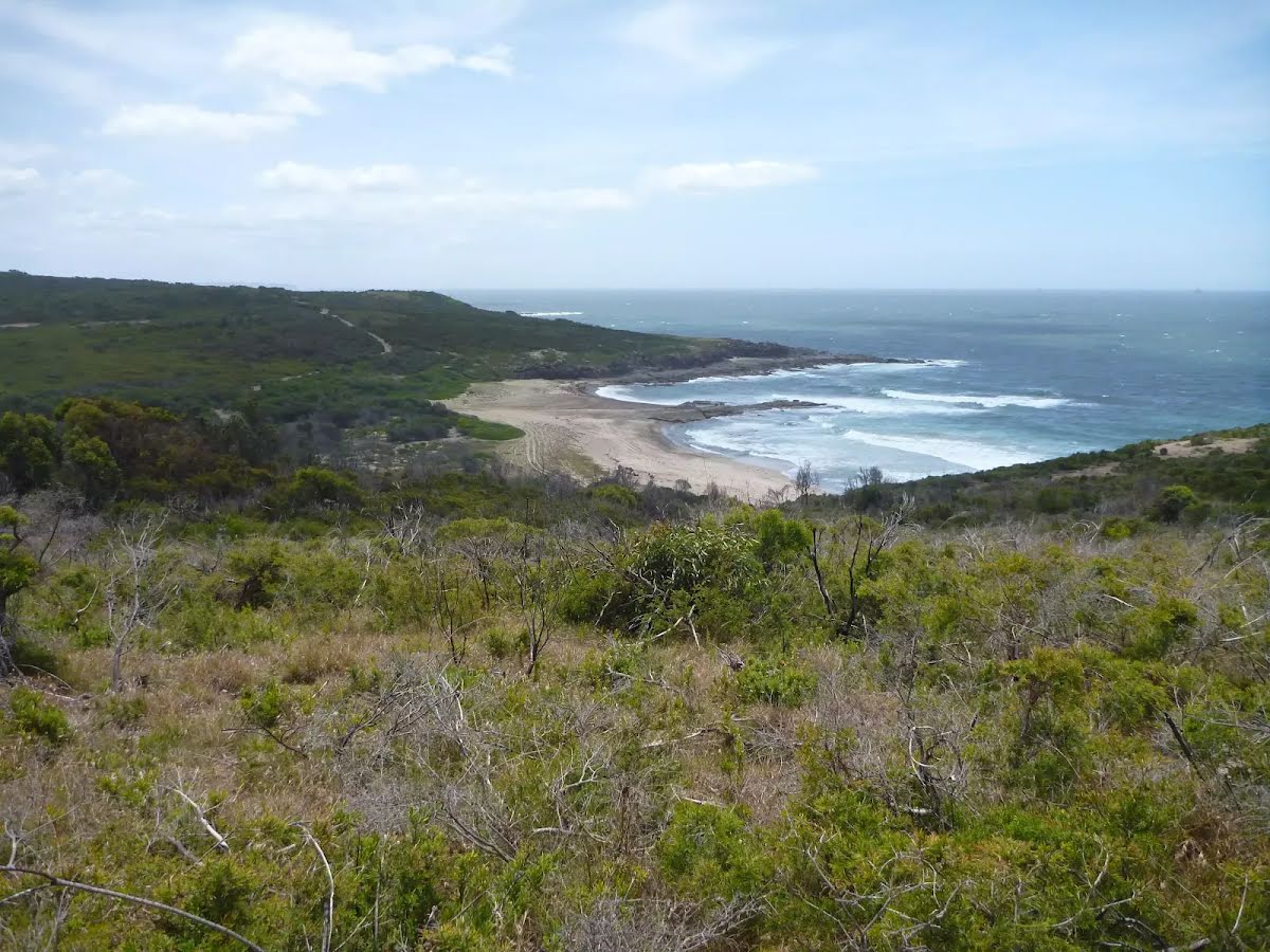
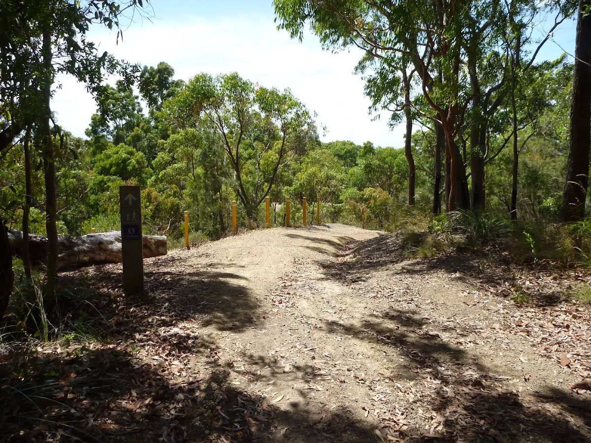
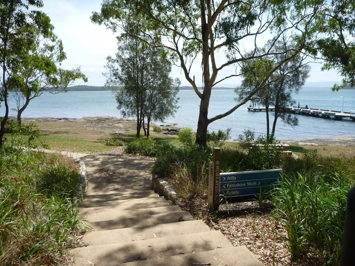
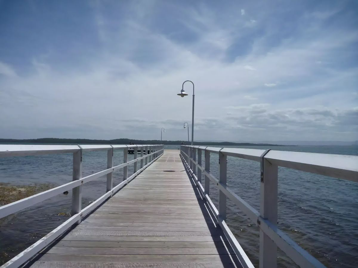
The starting point of an optional sidetrip. An optional side trip to End of Spoon Rocks Spit. To start this optional side trip turn left here. On returning from this side trip turn left when you get back to this intersection. Details below.
|
 |
|
 |
|
 |
|
 |
|
 |
|
 |
|
 |
|
 |
|
 |
|
 |
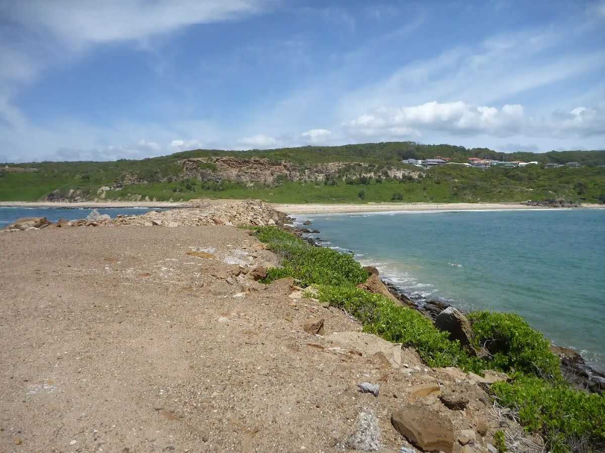
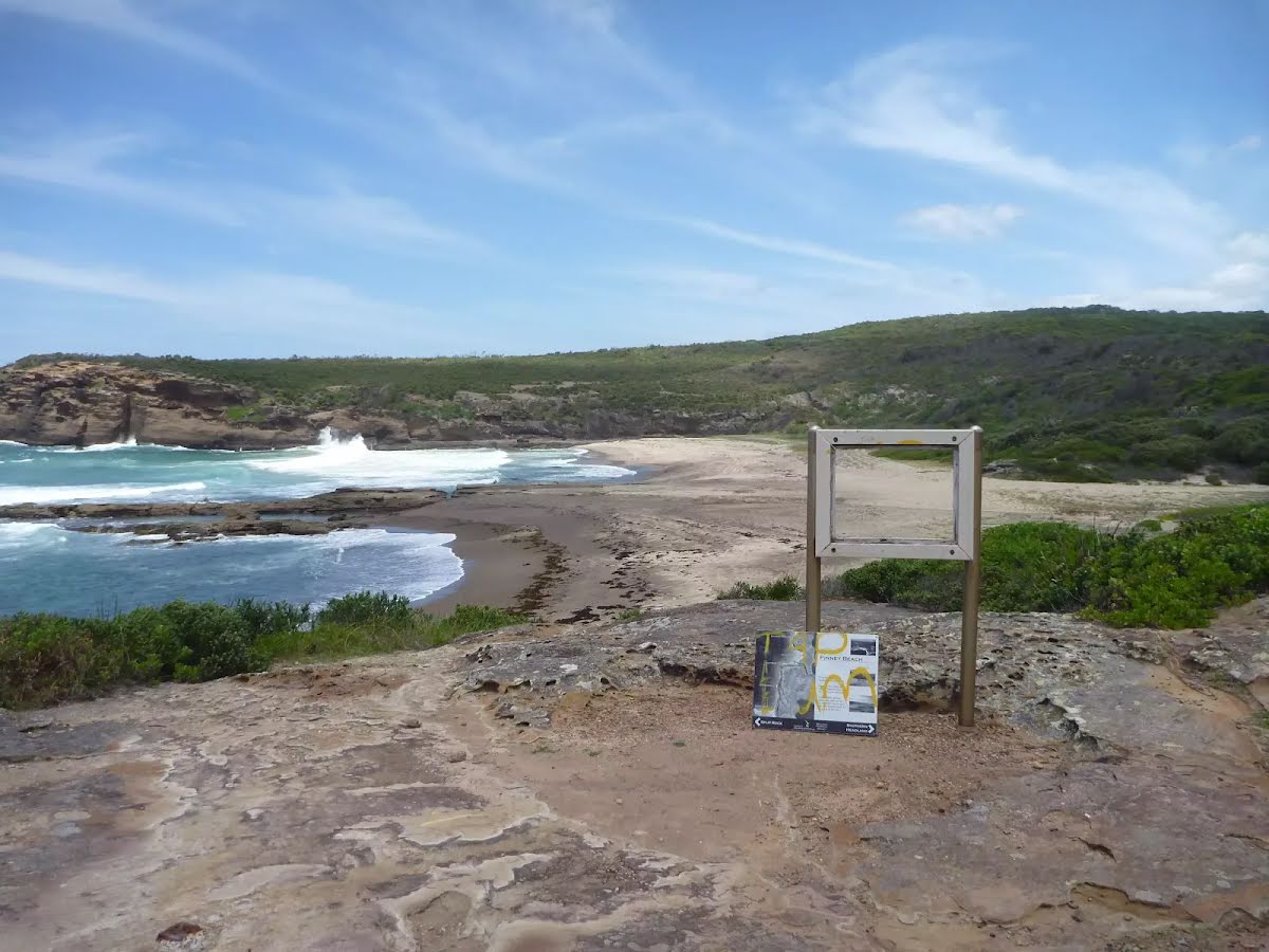
The starting point of an optional sidetrip. An optional side trip to Int of Coastal Track & Pinneys Lookout. To start this optional side trip turn left here. On returning from this side trip turn left when you get back to this intersection. Details below.
|
 |
|
 |
|
 |
|
 |
|
 |
|
 |
|
 |
|
 |
|
 |
|
 |
|
 |
|
 |
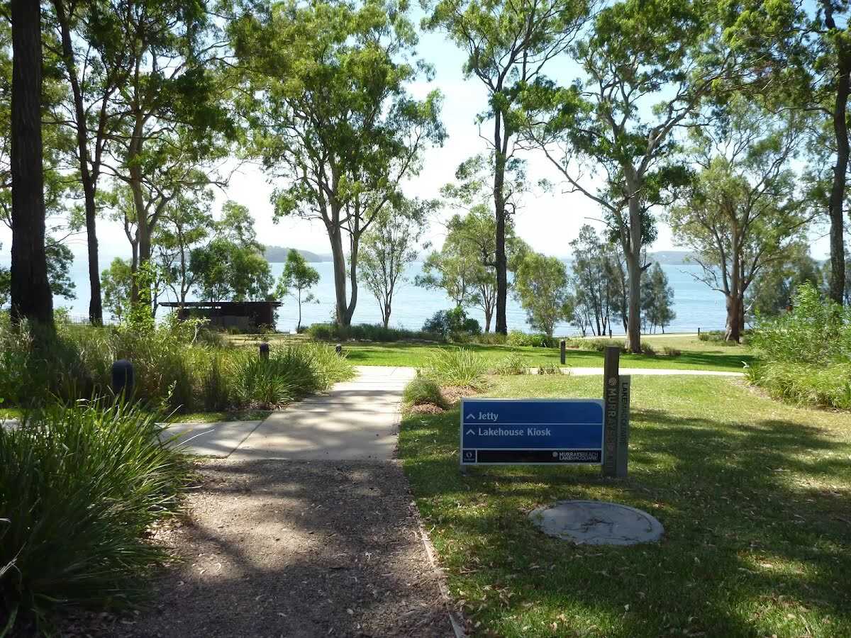
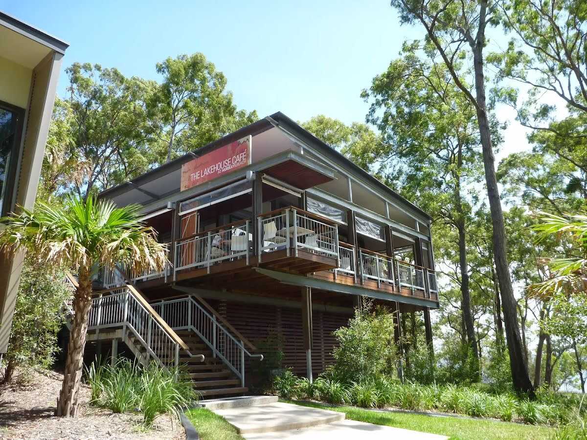
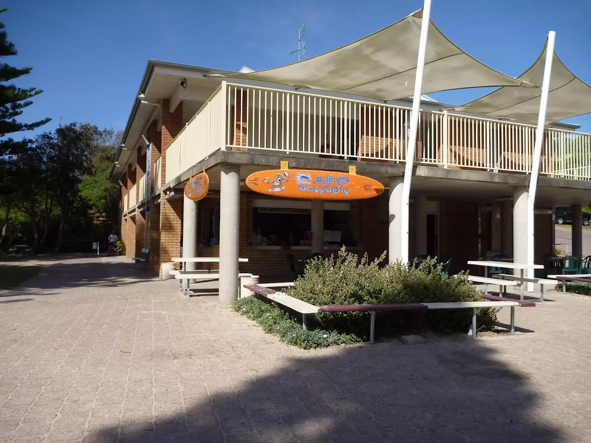
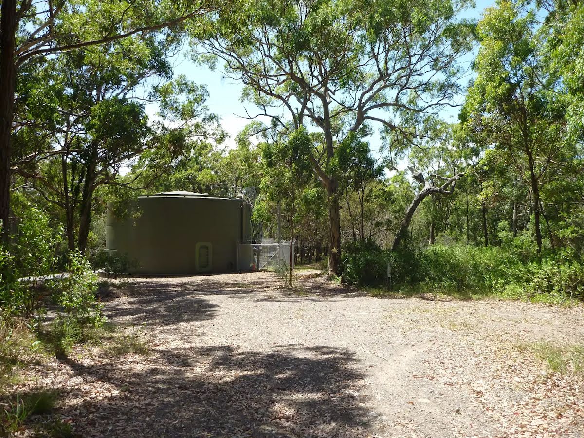
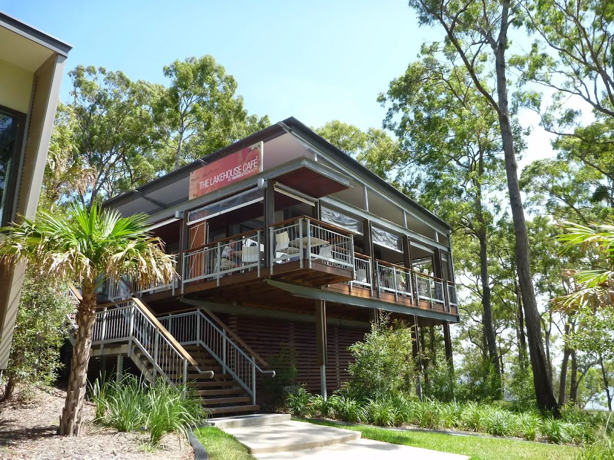
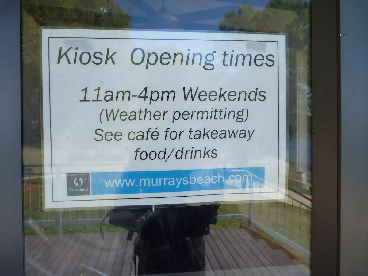
The starting point of an optional sidetrip. An optional side trip to The Lake House Cafe. To start this optional side trip turn left here. On returning from this side trip error >360 when you get back to this intersection. Details below.
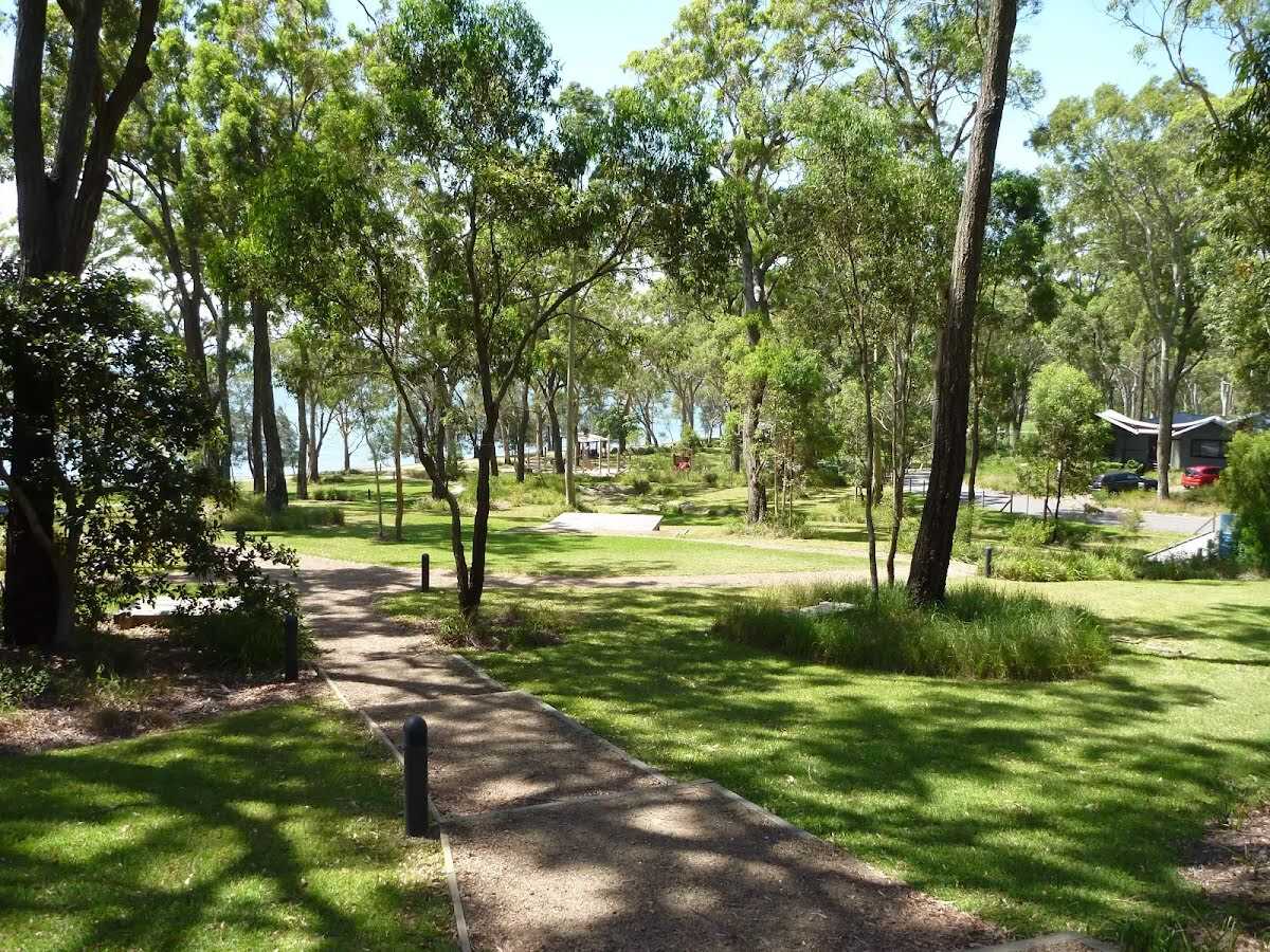
After another 50 m (at the intersection of Shoreside Row & Jetty Point Drive) continue straight (a walking track).
|
 |
|
 |

|
|
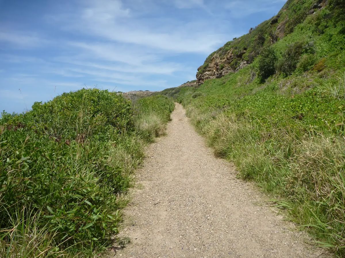
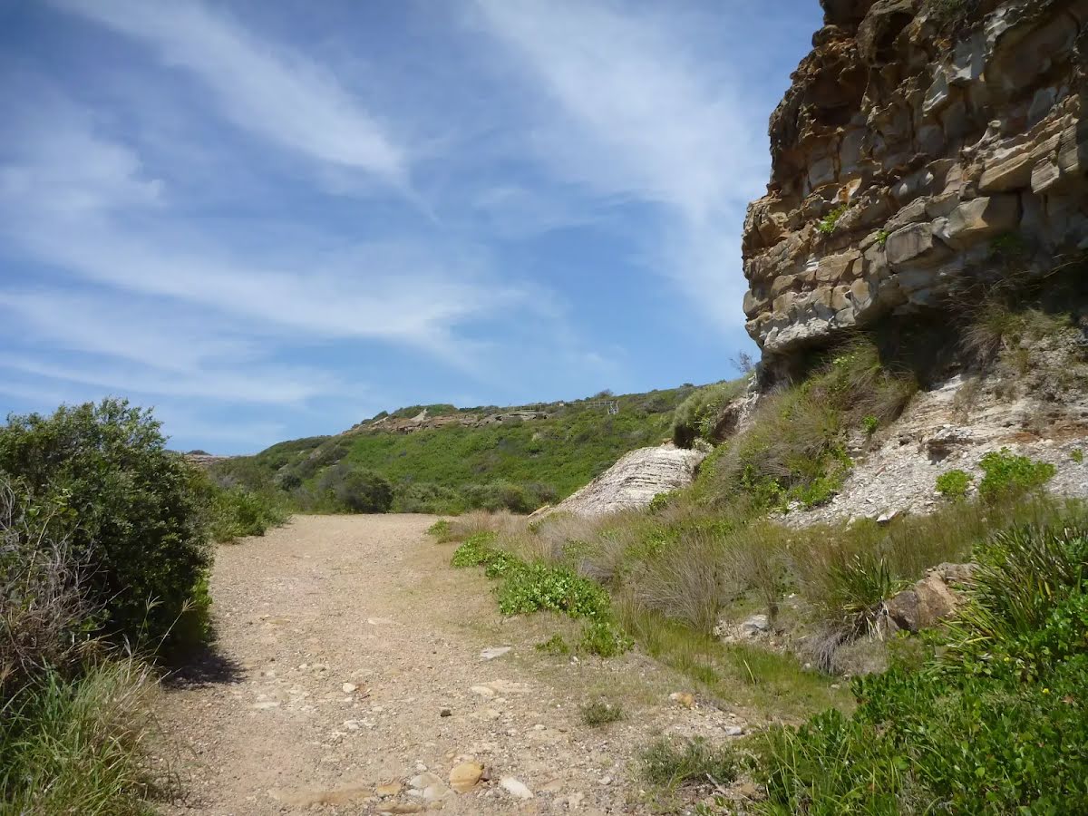
Class 4/6 Hard track |
|---|---|
| Length | 7.9 km |
| Time | 2 h 45 min to 3 h 30 min |
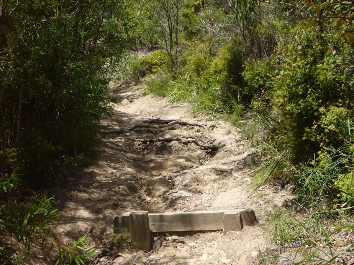
| Quality of track | Formed track, with some branches and other obstacles (3/6) |
| Gradient | Very steep (4/6) |
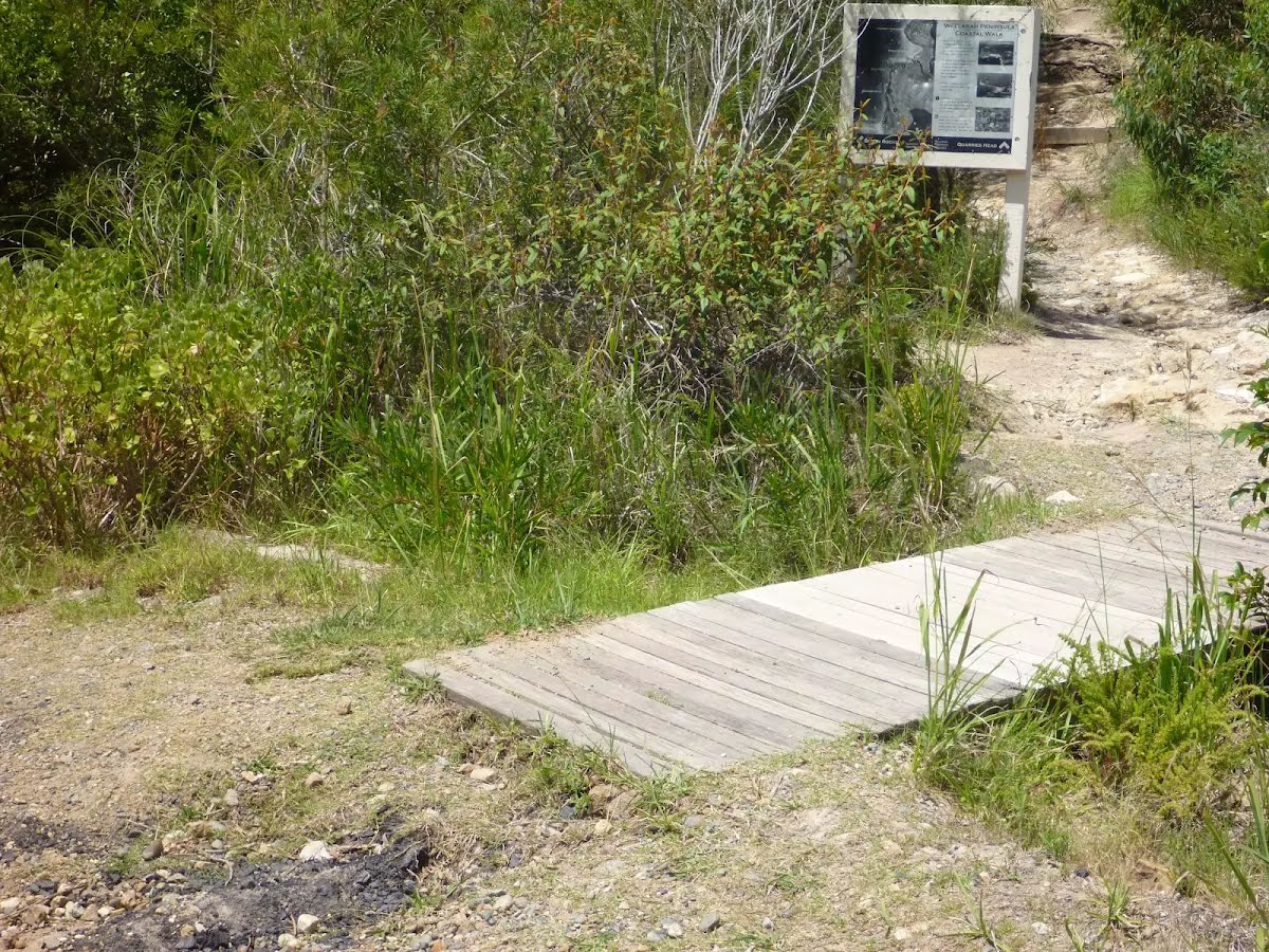
| Signage | Minimal directional signs (4/6) |
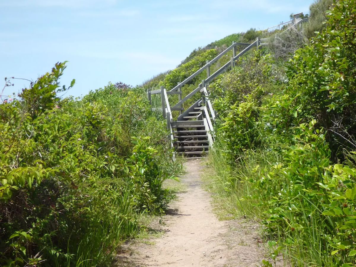
| Infrastructure | Limited facilities (such as cliffs not fenced, significant creeks not bridged) (4/6) |
| Experience Required | Some bushwalking experience recommended (3/6) |
| Weather | Weather generally has little impact on safety (1/6) |