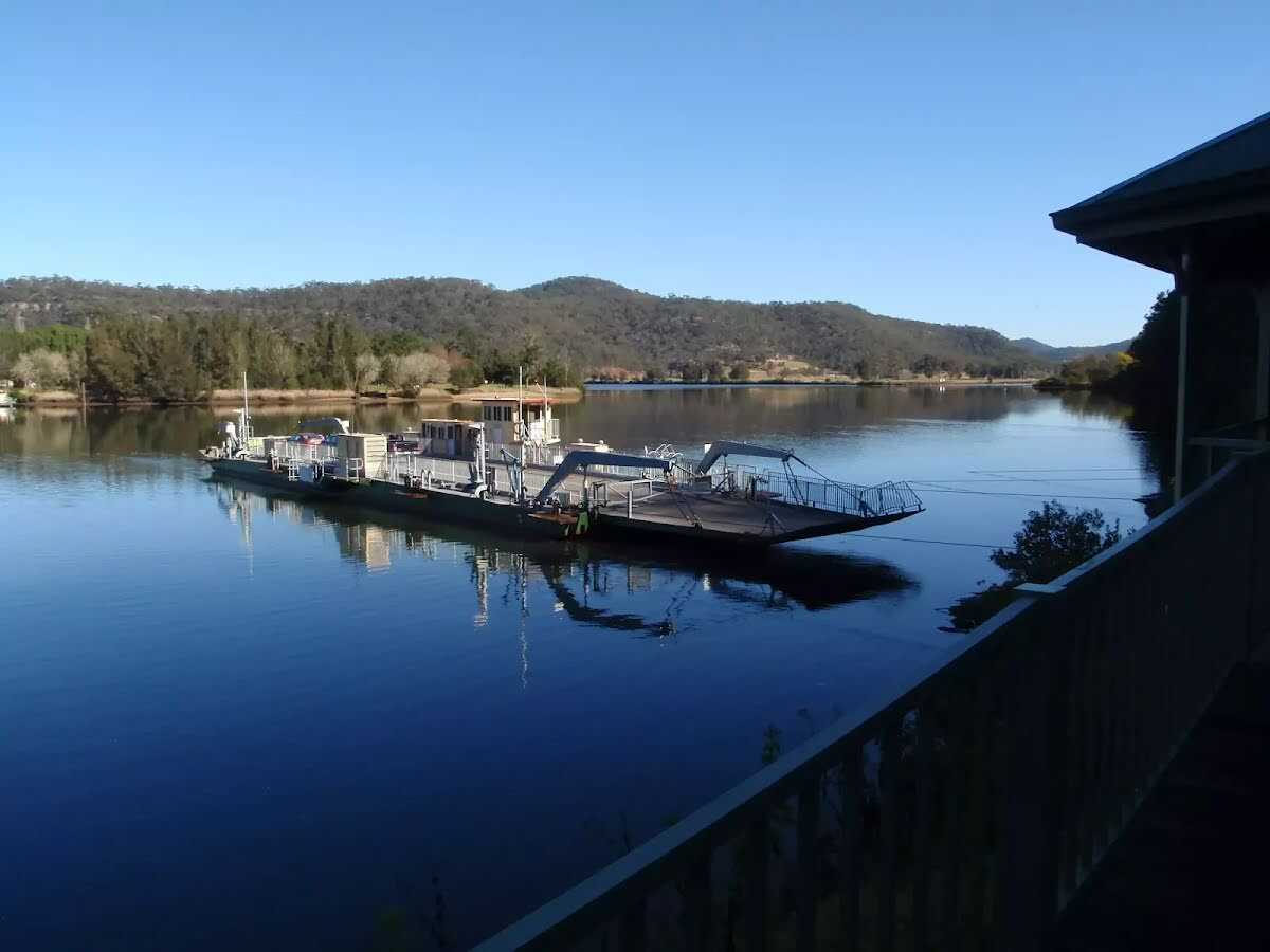
| Start | At Hawkesbury River (-33.38017,150.9880031) |
| Mode | Car |
| Finish | At the intersection of Oyster Shell Road & Wisemans Ferry Road, Lower Mangrove. (-33.4155977,151.1501615) |
| Mode (end) | Car Shuttle Car |
| Turn map | Directions & comments |
|---|---|
 |
🔗 toiletmap.gov.au Universally Wheelchair accessible. ✔ 24/7. You will also find a café, parking area, toiletand a shelter here.
🔗 toiletmap.gov.au Universally Wheelchair accessible. ✔ 24/7. |
 |
|
 |
After another 20m, (at the 3-way intersection, with Wisemans Ferry Road & Settlers Road) continue straight, to follow Settlers Road.
|
 |
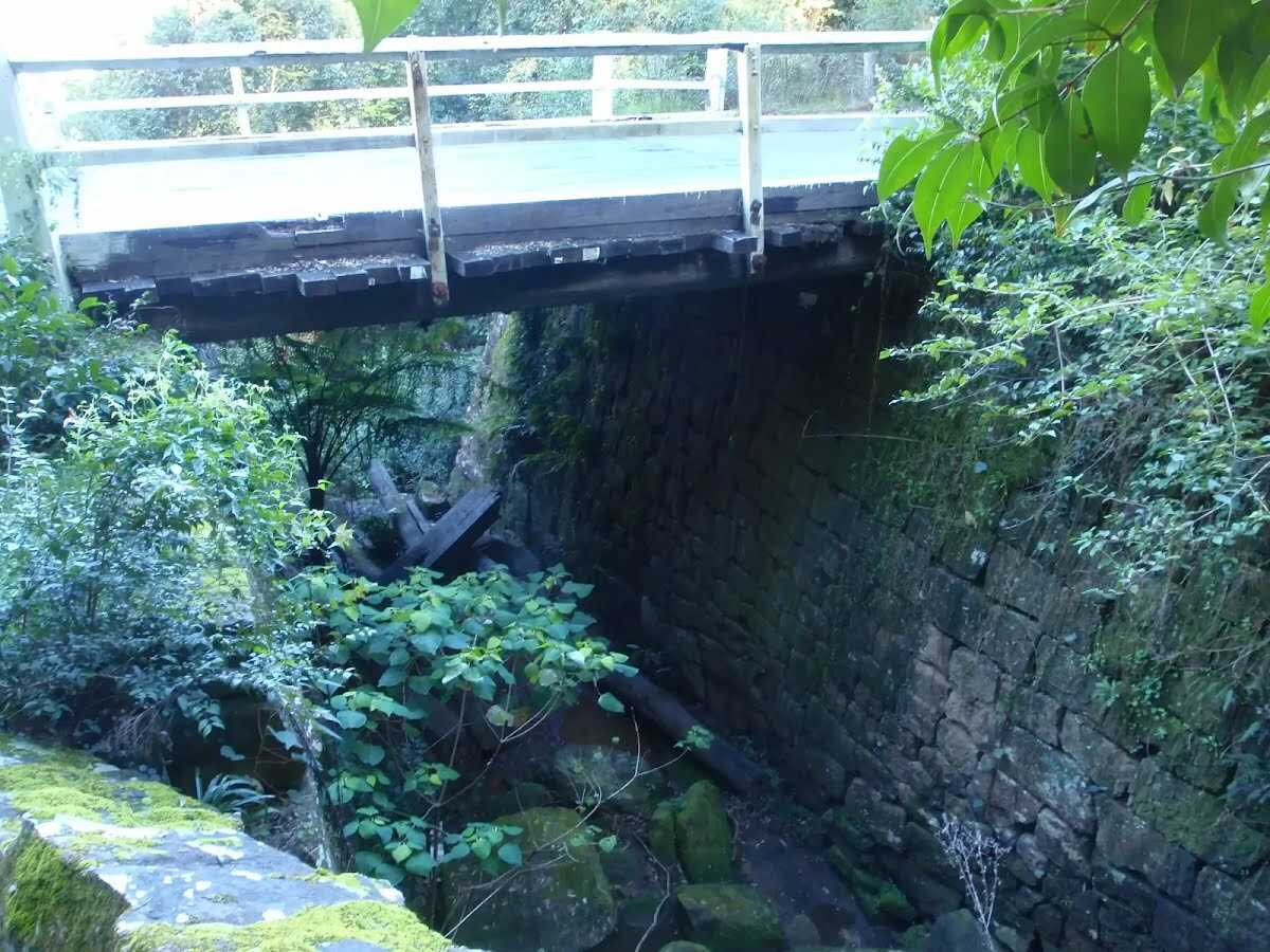
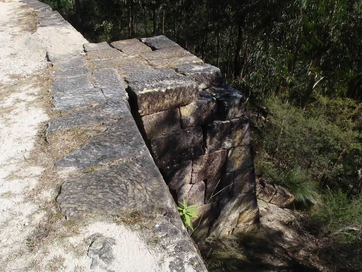
After another 90m, (at the 3-way intersection, with Settlers Road & Old Great North Road) bear right, to follow Old Great North Road.
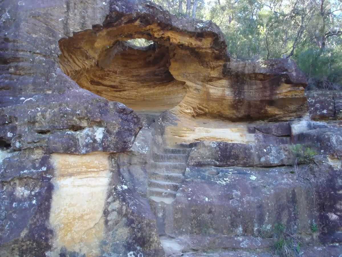
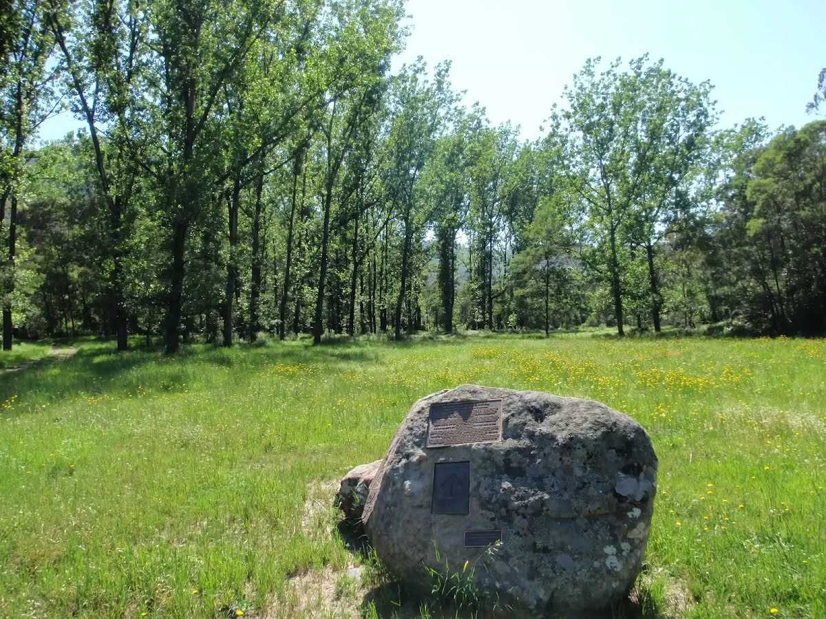
There is a artwork here.
|
 |
|
 |
|
 |
|
 |
|
 |
|
 |
|
 |
|
 |
|
 |
After another 650m, (at the 3-way intersection, with Old Great North Road & Simpsons Track) bear right, to follow the Simpsons Track.
🔗 nationalparks.nsw.gov.au There is a toilet here.
|
 |
|
 |
|
 |
|
 |

|
|
Class 4/6 Hard track |
|---|---|
| Length | 34.4km |
| Time | 10 hrs to 2 days |
| Quality of track | Clear and well formed track or trail (2/6) |
| Gradient | Very steep (4/6) |
| Signage | Directional signs along the way (3/6) |
| Infrastructure | Limited facilities, not all cliffs are fenced (3/6) |
| Experience Required | Some bushwalking experience recommended (3/6) |
| Weather | Storms may impact on navigation and safety (3/6) |
| Item | From Start | Name & link to notes |
|---|---|---|
Toilet
| 0m | Public Toilet Wisemans Ferry Park |
Shelter
| 0m | [shelter] |
Shelter
| 0m | [shelter] |
Shelter
| 0m | [shelter] |
Toilet
| 350m | Public Toilet Wisemans Ferry Crossing |
Campsite
| 16.6km | [campsite] |
Toilet
| 16.6km | [toilet] |