Other planned events: Notice of 1080 aerial baiting programNSW National Parks and Wildlife Service (NPWS) will be conducting an aerial baiting program using fresh meat containing 1080 (sodium fluoroacetate) poison for the control of wild dogs and foxes. The program will be conducted between Monday 28 July and Friday 1 August 2025. Affected parks and reserves include:
- Bees Nest Nature Reserve
- Budawang National Park
- Bungonia National Park
- Bungonia State Conservation Area
- Coolumbooka Nature Reserve
- Deua National Park
- Gourock National Park
- Kooraban National Park
- Monga National Park
- Morton National Park
- Morton State Conservation Area
- Nadgigomar Nature Reserve
- South East Forest National Park
- Tallaganda National Park
- Tallaganda State Conservation Area
- Tarlo River National Park
- Wadbilliga National Park
All baiting locations will be identifiable by signs.
Domestic pets are not permitted in NSW national parks and reserves. Pets and working dogs may be affected (1080 is lethal to cats and dogs). Pets and working dogs must be restrained or muzzled in the vicinity and must not enter the baiting location. In the event of accidental poisoning seek immediate veterinary assistance.
For more information, contact the South Coast Branch Pest Officer at the NPWS Merimbula office on (02) 6495 5000.
Penalties apply for non-compliance.
Closed areas: Tallowa Dam Road ClosedTallowa Dam Road in Morton National Park is currently closed due to a landslide.
There is no vehicle access to the Tallowa Dam boat ramp. Paddlers must exit the lake at Beehive Point or Bendeela.
NPWS and WaterNSW are working to restore access as soon as possible. This alert may be extended if needed and will be removed once the road can be safely reopened.
For more information, contact the NPWS Fitzroy Falls office on 02 4887 8244.
Closed areas: East Rim Wildflower walk closedEast Rim Wildflower Walking Track closed due to high water levels.
Closed areas: George Boyd Picnic Area Toilet Closed due to storm damageThe Toilet at George Boyd Picnic area is closed, due to damage from storms.
The picnic area, lookout and walking tracks remain open
For more information contact the local NPWS office: 44549500
Closed areas: Nicholas Pass track partly closedNicholas Pass track is closed from its junction with the base of Fairy Bower Falls walking track to Ampitheatre Lookout until further notice due to a landslide and rock fall event.
Penalties apply for non-compliance. For more information call the NPWS Illawarra area office on 02 4224 4188 or visit the
NSW National Parks safety page for park safety guidelines.
Other planned events: Notice of 1080 ground baiting programA baiting program using ground baits containing 1080 (sodium fluoroacetate) poison for the control of wild dogs and foxes will be conducted between August 01 2024 to August 01 2025 in the Kangaroo Valley, Budgong and Illaroo areas.
All baiting locations will be identifiable by signs.
Domestic pets are not permitted in NSW national parks and reserves. 1080 is lethal to cats and dogs. Pets and working dogs must be restrained or muzzled in the vicinity and must not enter the baiting location. In the event of accidental poisoning seek immediate veterinary assistance.
Penalties apply for non-compliance. For further information, call the NPWS Shoalhaven area office on 02 4428 6300.
Other planned events: Notice of 1080 bait disposal pitNSW National Parks and Wildlife Service is disposing of used 1080 baits and baiting products in an approved disposal pit on NPWS National Parks land within the Fitzroy Falls area.
The burial of used baits and products will occur from Thursday 12 December 2024 to Friday 8 August 2025. All bait material in the pit will be buried under at least 500mm of soil, and clear of waterways so as not to cause pollution of waterways. This is in accordance with the current Pesticide Control Order (1080 bait products).
There will be 1080 baiting signs at the entrance to the disposal pit site.
1080 (sodium fluoroacetate) is lethal to pets (including domestic dogs and cats) and working dogs. In the event of accidental poisoning, seek immediate veterinary assistance. Domestic pets, including dogs and cats, are not permitted in national parks or reserves.
For more information,
email or call the NPWS Fitzroy Falls Office on 02 4887 8244.
Closed areas: Access to base of Belmore Falls prohibitedAll access to the base of Belmore Falls is permanently closed as there is a risk of falling from the cliff edge and severe injury or death. This includes access from Hindmarsh and Belmore Falls lookouts and picnic areas.
Access is also closed to the top of Belmore Falls, including from the Belmore Falls Road causeway.
There is limited mobile phone reception in this area. You may not be able to call for help if you need it and access for emergency services is difficult.
The walk will remain permanently closed to the public to protect visitor safety.
Penalties apply for non-compliance. For more information, contact the NPWS Fitzroy Falls area office on 02 4887 8244 or visit the
NSW National Parks safety page for park safety guidelines.
Closed areas: 12 Mile Road Closed12 Mile road between George Boyd Lookout and Braidwood Road in Morton National Park is closed due to recent storm damage. Culverts have been washed out and the road is untrafficable.
Penalties apply for non-compliance. For more information, contact the local NPWS office.
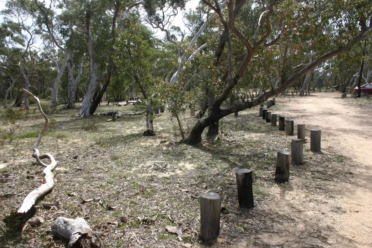
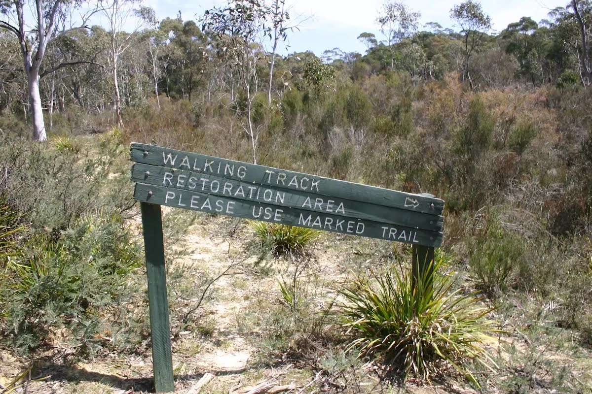
Closed areas: Tianjara fire trailTianjara fire trail is closed. Please do not enter the closed area.
A review of access arrangements, the UXO area and permit system is being undertaken
Penalties apply for non-compliance. For more information, contact the local NPWS office.
Other planned events: Notice of ongoing 1080 pest management programNSW National Parks and Wildlife Service (NPWS) is conducting an ongoing ground baiting program from 3rd March 2025 to 3rd September 2025. The operation will use 1080 (sodium fluoroacetate) poison for the control of feral animals wild dogs and/or foxes.
The program is designed to minimise predator impacts on wildlife, especially threatened species, and to minimise impact of wild dogs on neighbouring stock and will take place in:
Morton National Park (including: 12 Mile Road, Croobyar/Kingiman, Touga/Tolwong, Little Forest Plateau, Redground, Endrick and Sassafras)
Conjola National Park
Murramarang National Park
Parma Nature Reserve
Jerrawangala National Park
Colymea SCA
Bees Nest Nature Reserve
Signs will be placed at the entry to the baiting location. Domestic pets are not permitted in NSW National Parks managed lands.
Pets and working dogs may be affected (1080 is lethal to cats and dogs). Pets and working dogs must be restrained or muzzled in the vicinity and must not enter the baiting location. In the event of accidental poisoning seek immediate veterinary assistance.
Please contact the local NPWS Nowra Office on 44286300 or NPWS Ulladulla on 44549500 for more information.
Penalties apply for non-compliance.
Closed areas: Gulp Road at Wingello closedThe Gulp Road section of Morton National Park is closed due to ongoing wet conditions, it will be re-opened after it has been assessed as suitable for vehicle access.
Safety alerts: Potential difficulties for cyclists navigating Beehive Walking TrackCyclists undertaking the Fitzroy Falls to Kangaroo Valley cycling route are advised that there may be difficulties riding Beehive Walking Track, which provides one of two access routes to Beehive Campground. The original track has been closed to vehicles with many large logs impeding access. Alternative riding access to Beehive Campground is possible via Jack's Corner Road and Beehive Point Road.
This closure only affects cyclists wishing to access Beehive Point Campground. Walkers are not impacted by this closure and cyclists may choose to walk the trail with their bikes, lifting them over logs when required.
For further information, contact the NPWS Illawarra-Highlands Area on 02 4887 8244 or via email
[email protected]Closed areas: Camping areas closed due to flood and fire damageCamping is closed indefinitely at the following campgrounds due to fire damage and flooding. The closed campground include (open for day-use only):
- Pauls Point
- Sundeck
- Sawyers
- Burrawang
Please note that the campgrounds will remain open for day use. Some campgrounds may be affected by flood debris following heavy rain, and there may be steep sand walls to access sites.
Please be cautious and move onto another campground if safety issues occur. There have been many changes to campgrounds along the river, including reduced campground capacity. Some sites also have extensive regrowth following fires.
Penalties apply for non-compliance. For more information, please contact the local office.
Safety alerts: Mount Tarn Navigational warningMt Tarn Walking Track is overgrown with vegetation between Mt Tarn and Mt Haughton which may cause navigation challenges.
Before you enter the bush, Think Before You
TREKClosed areas: Toorooroo campground closed due to damageToorooroo campground is closed due to fire and flood damage. Please check back for updates.
Penalties apply for non-compliance. For more information, contact the local NPWS office.
Alert kindly provided by © NSW Nataional Parks and Wildlife Service