Mountain Creek Lyrebird Circuit

40 min to 1 h

1.9 km
circuit

↑ 99 m
↓ -99 m

Moderate track
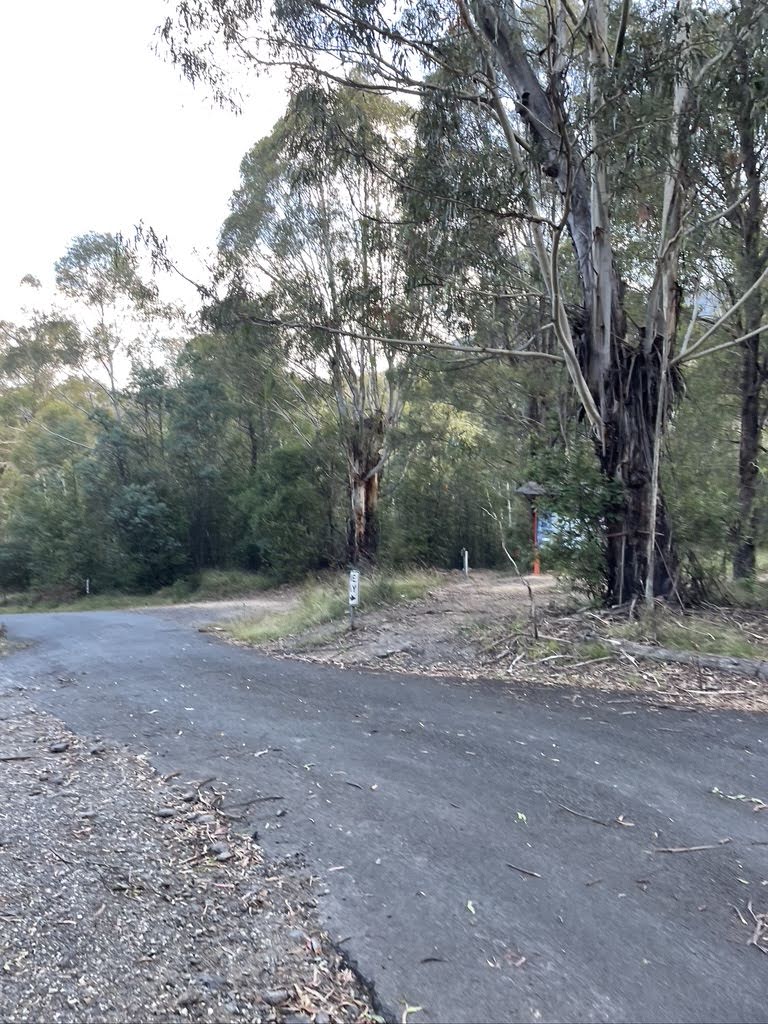
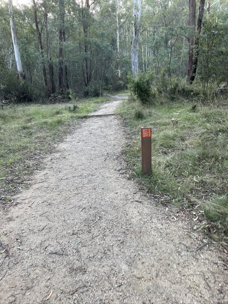
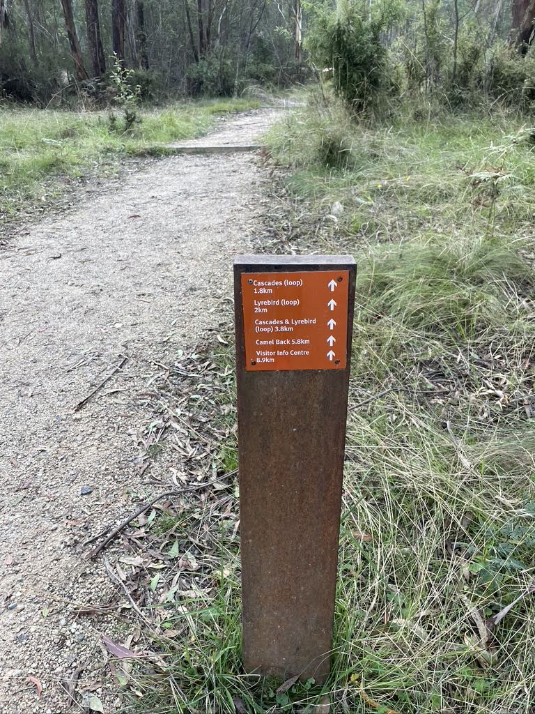
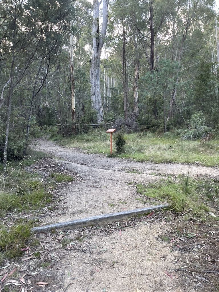
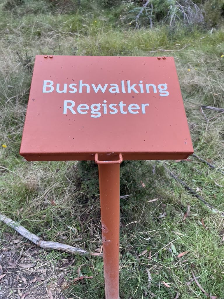
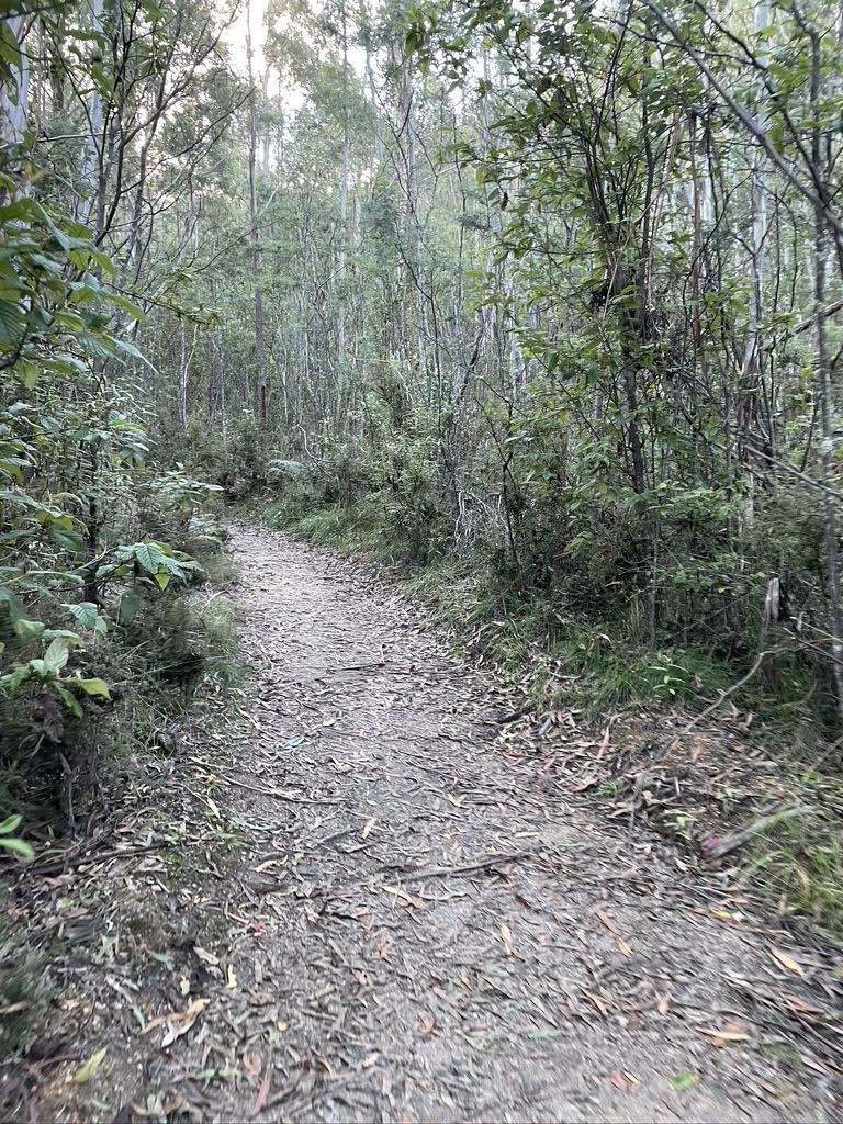
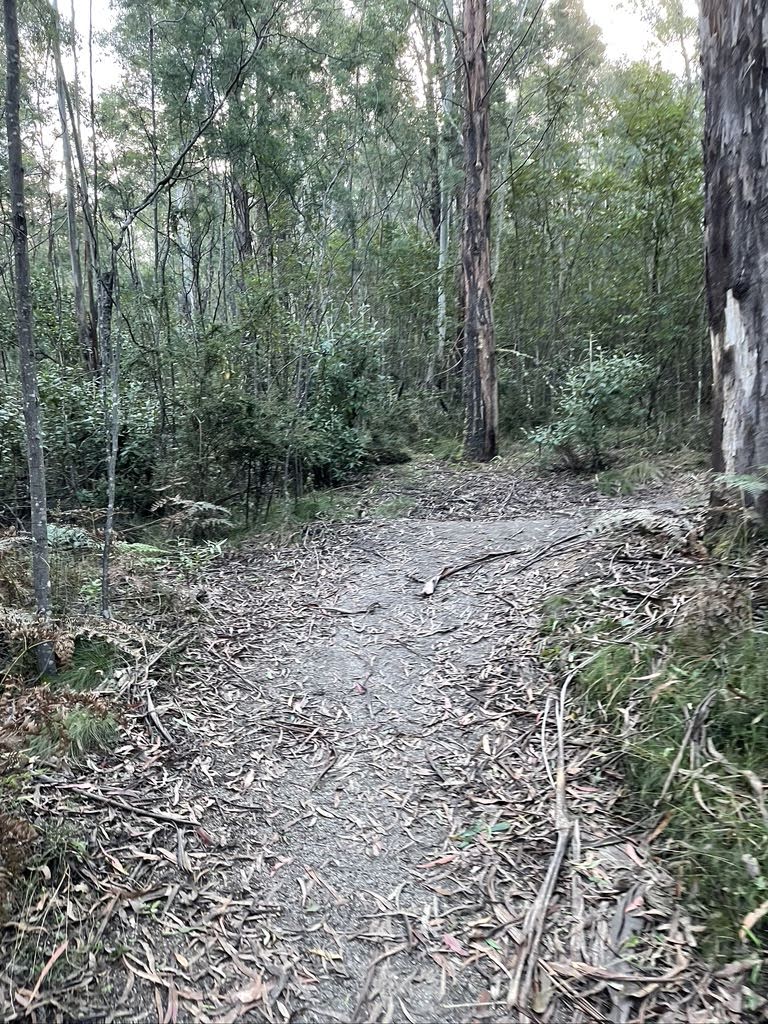
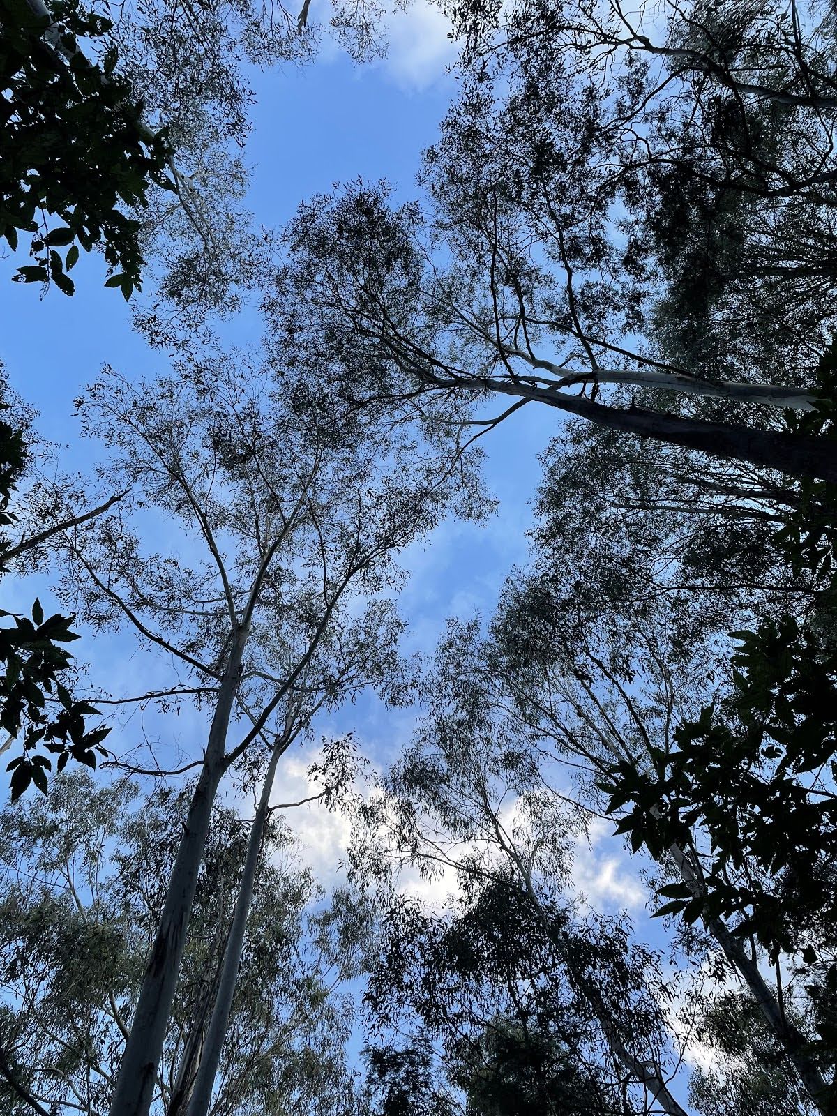
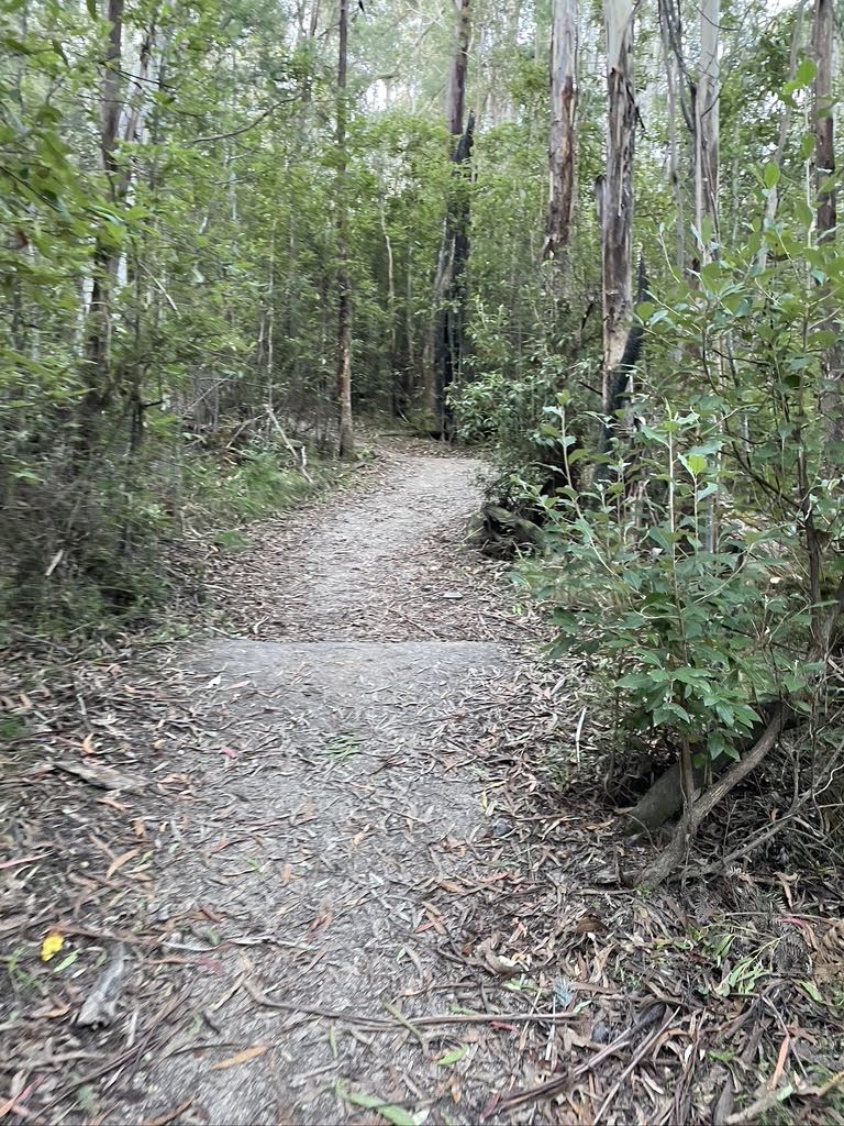
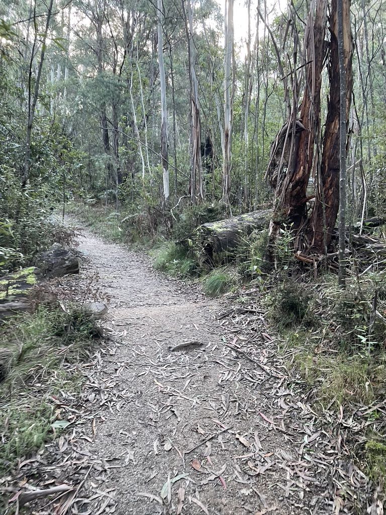
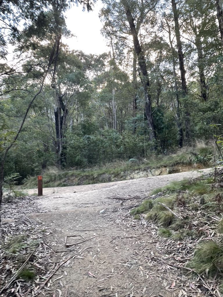
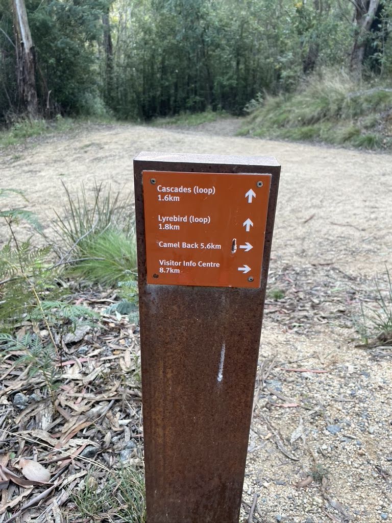
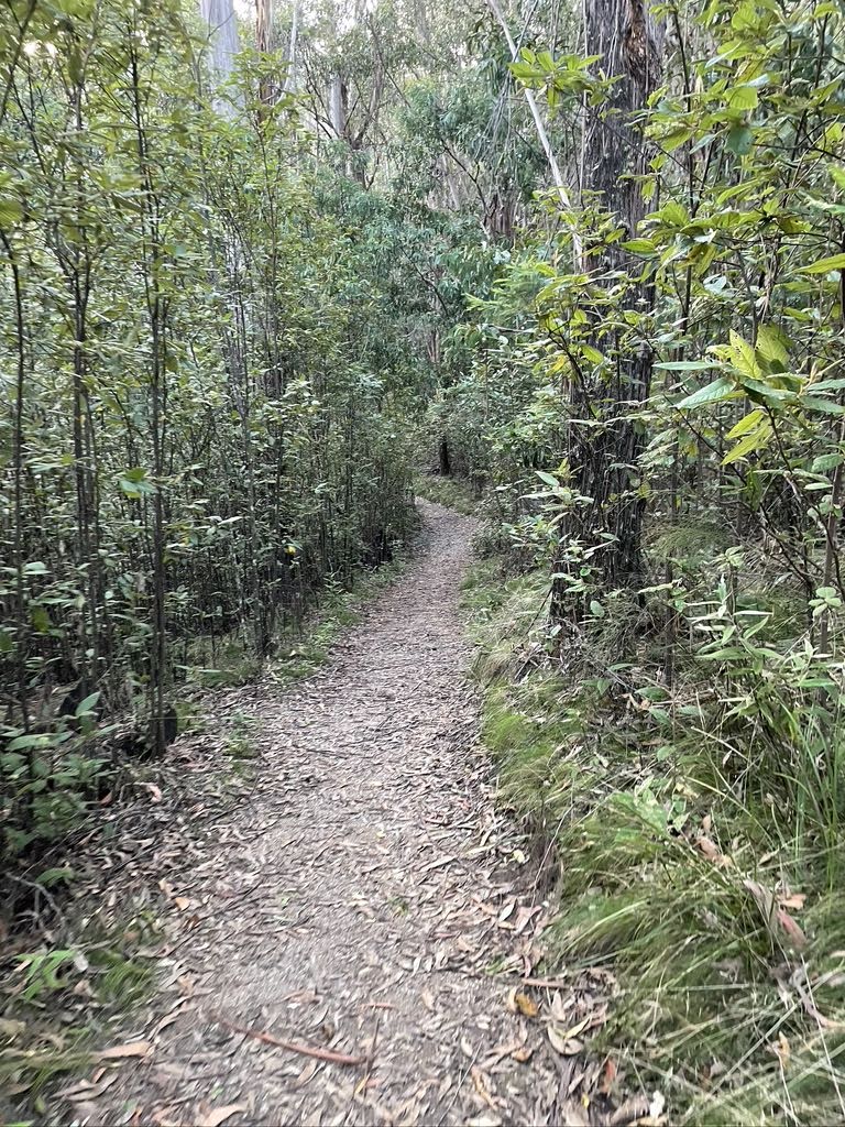
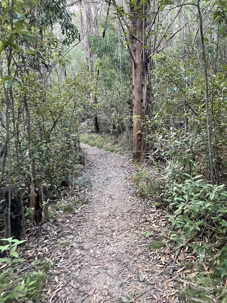
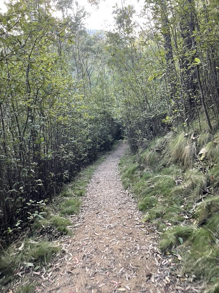
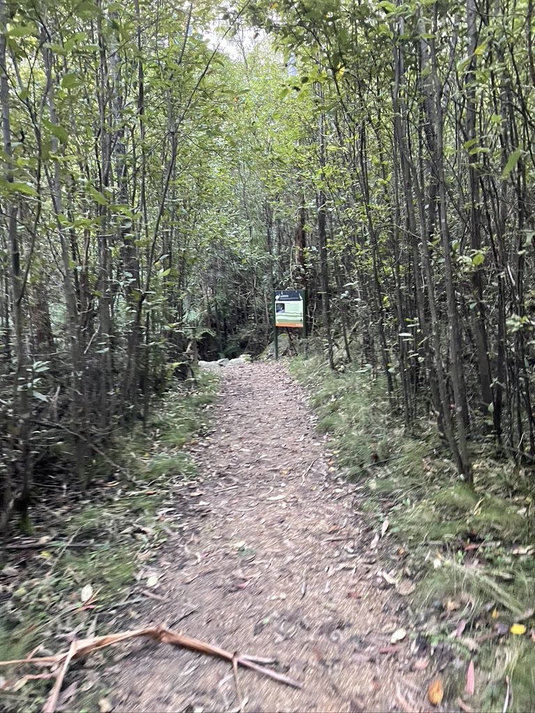
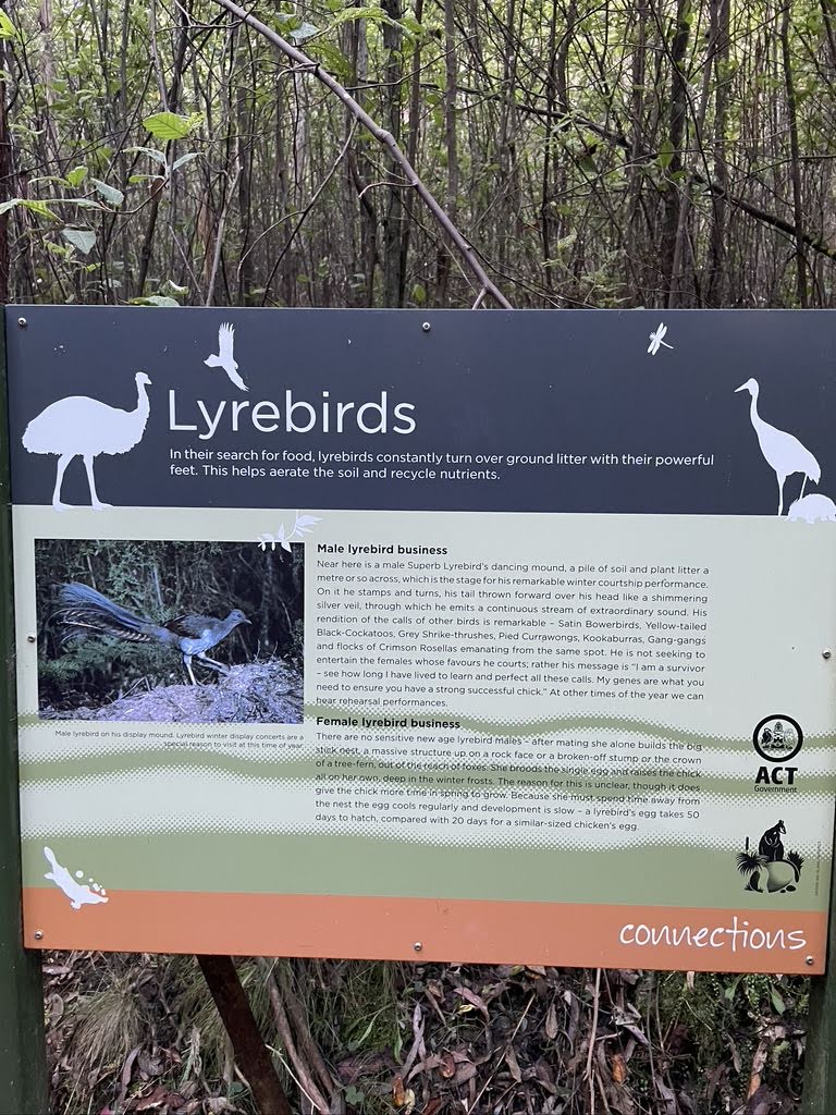
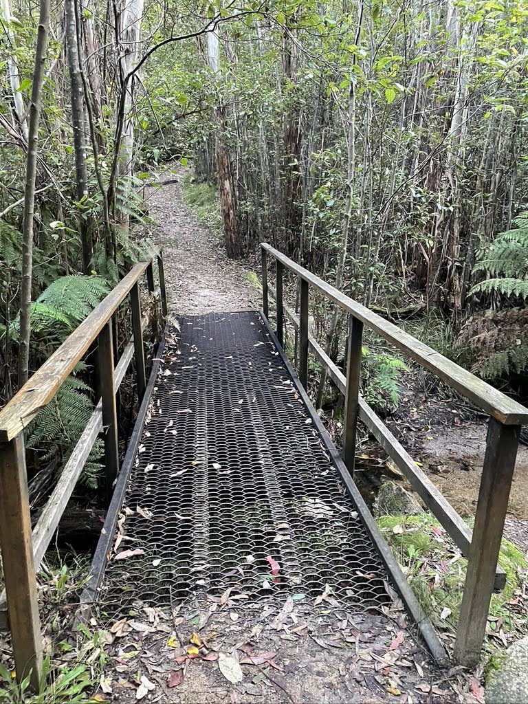
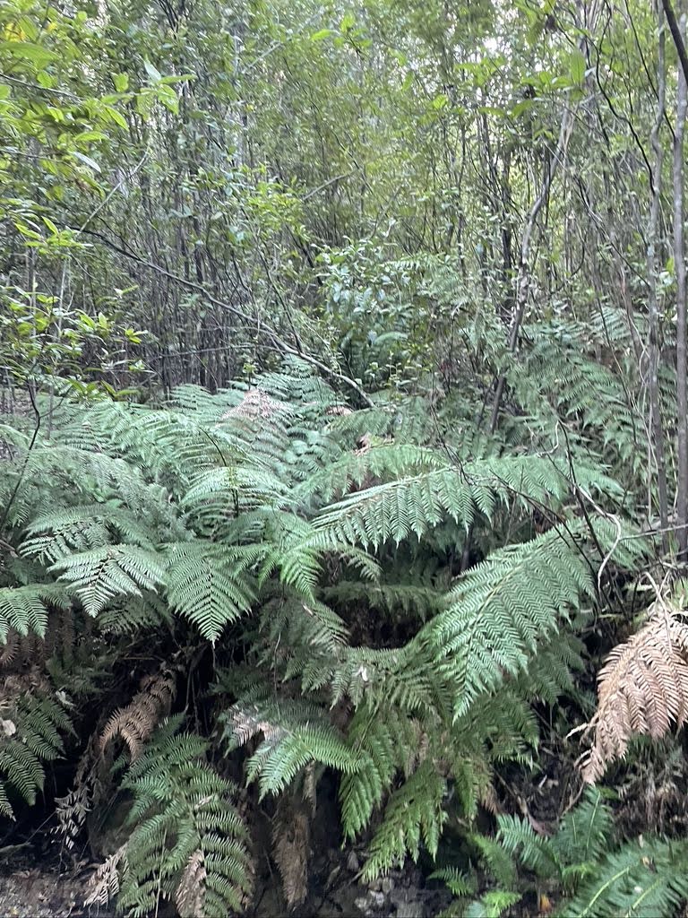
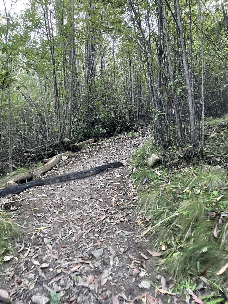
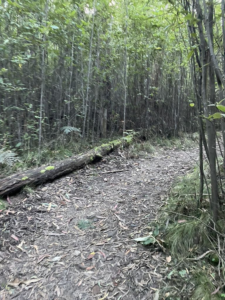
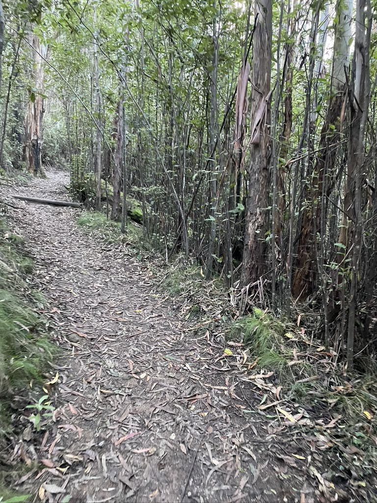
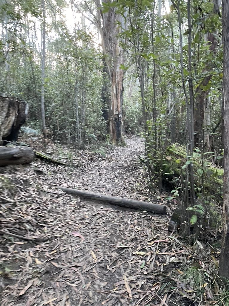
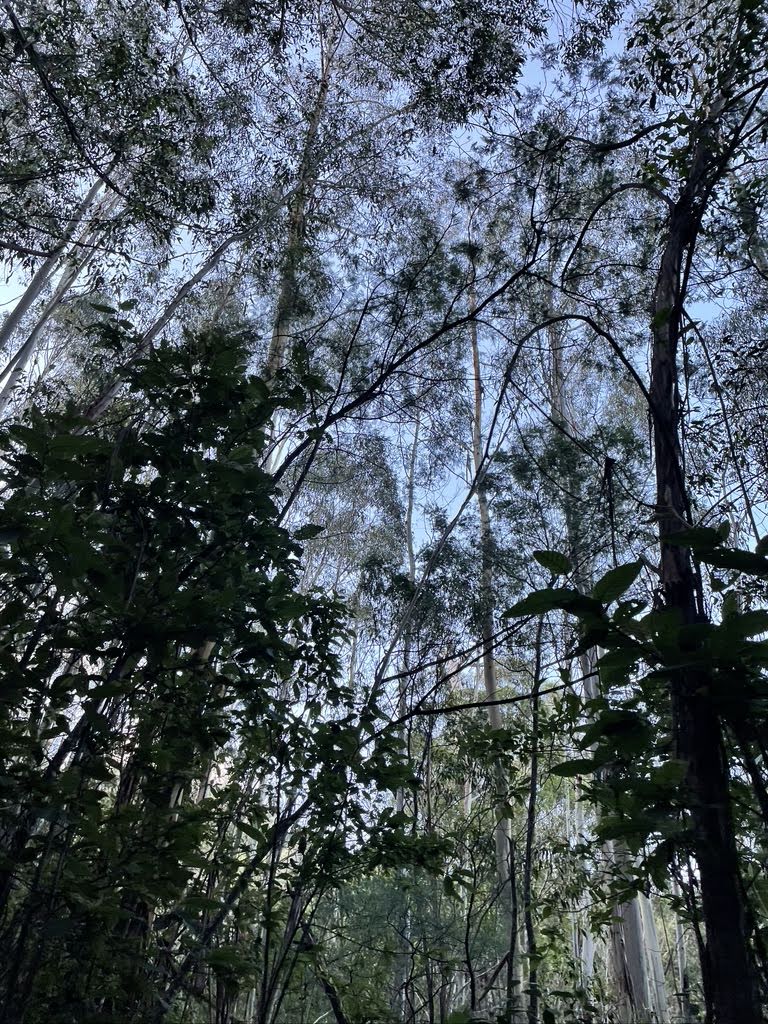
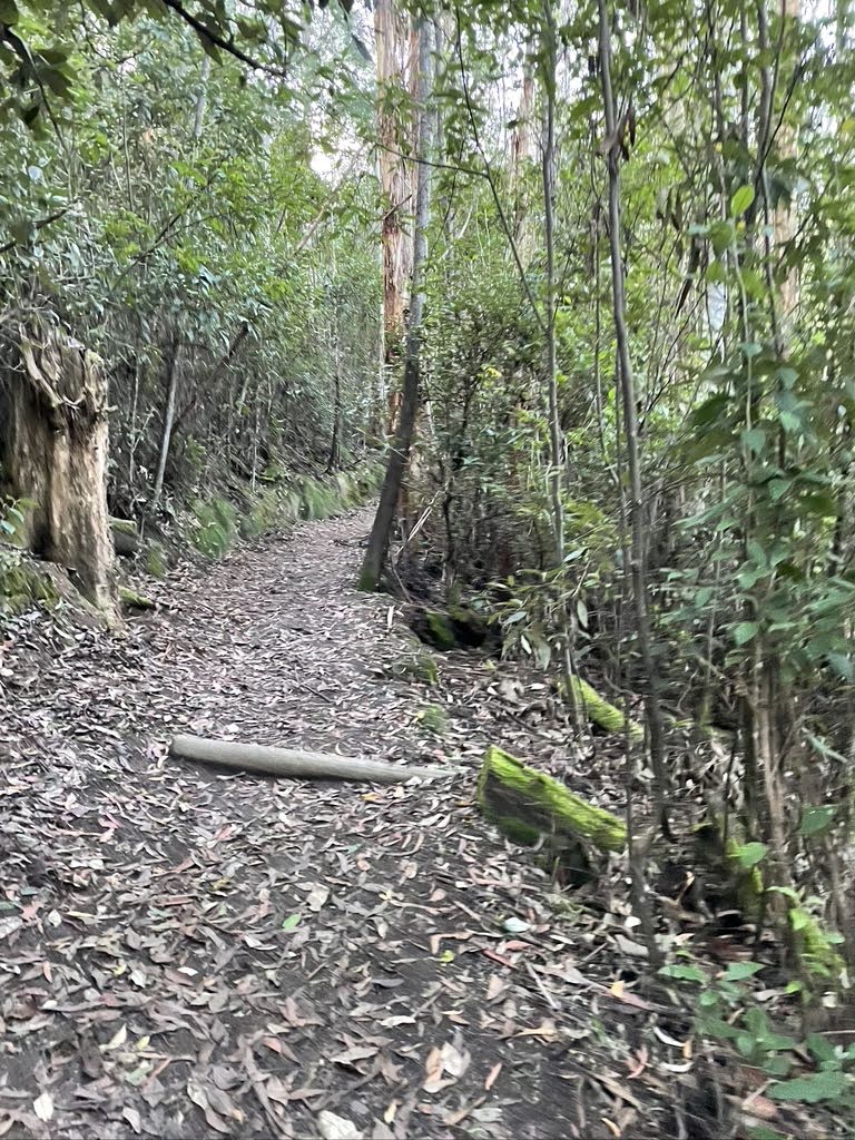
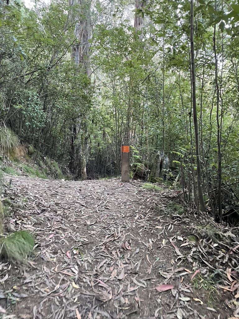
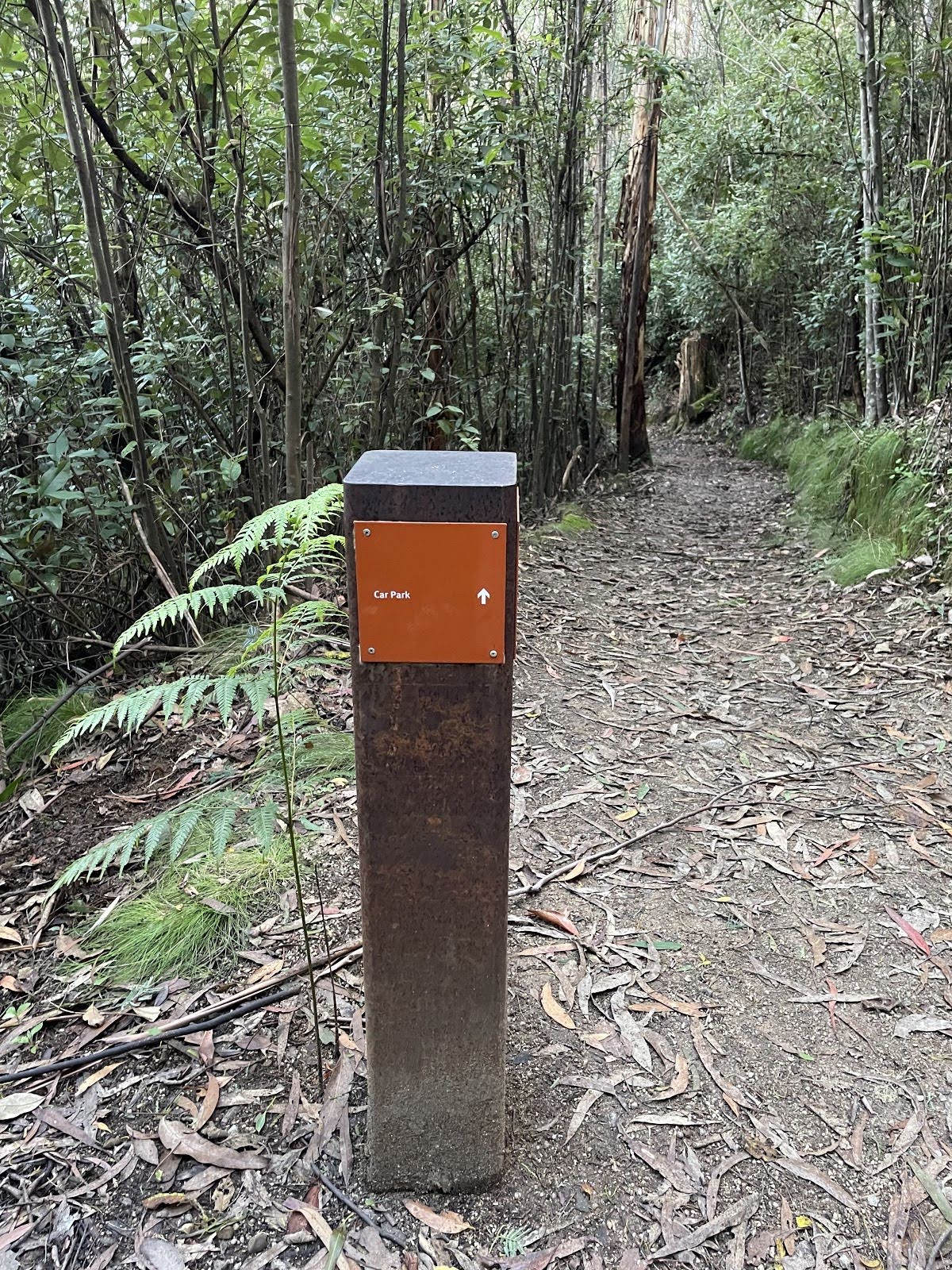
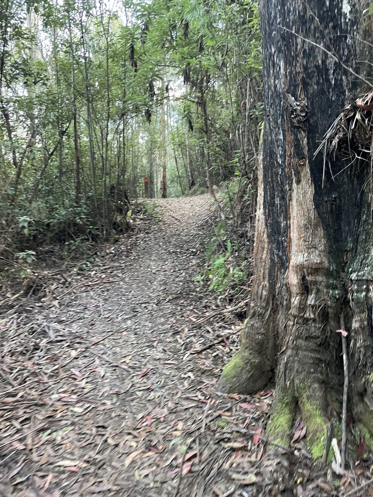
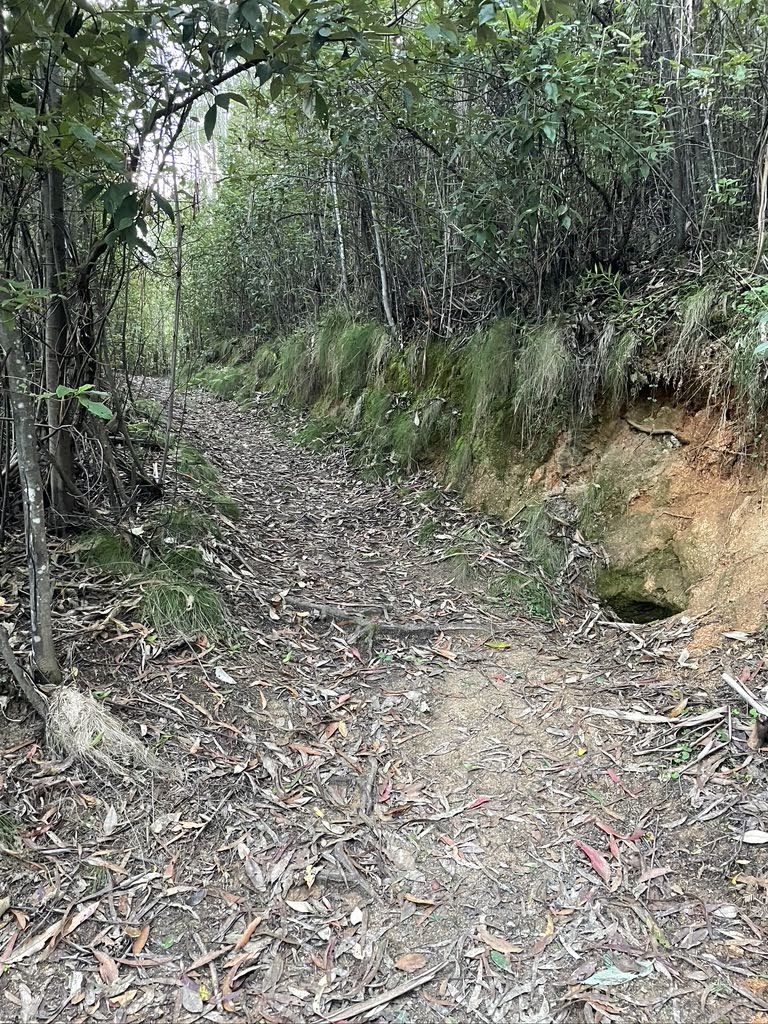
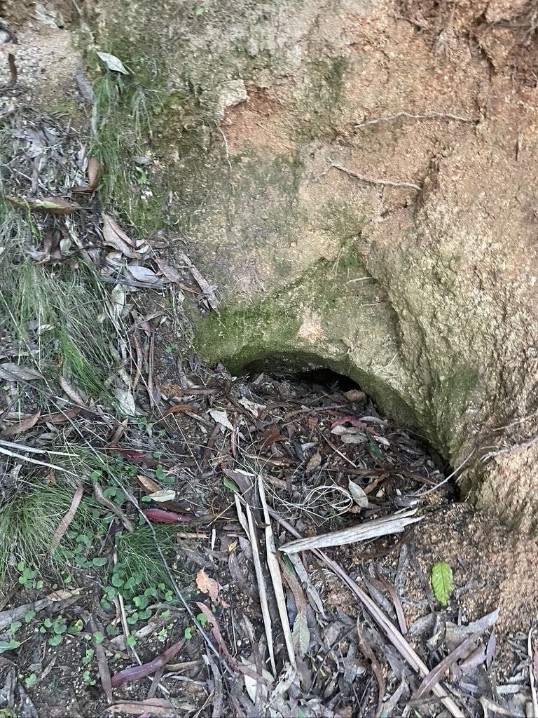
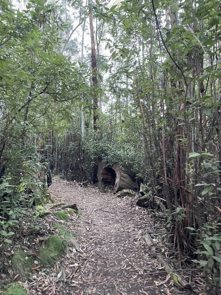
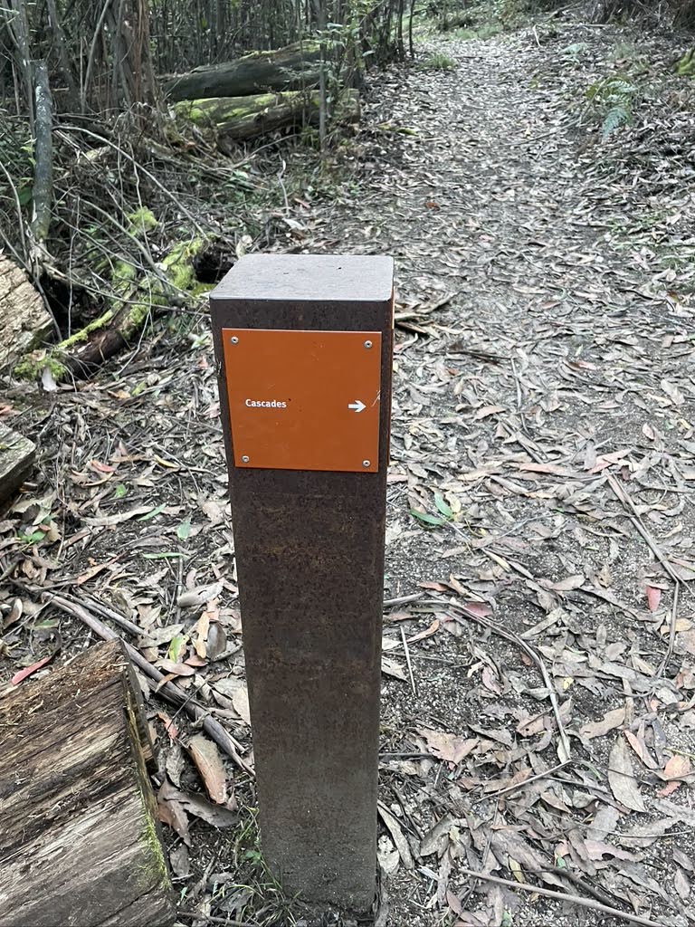
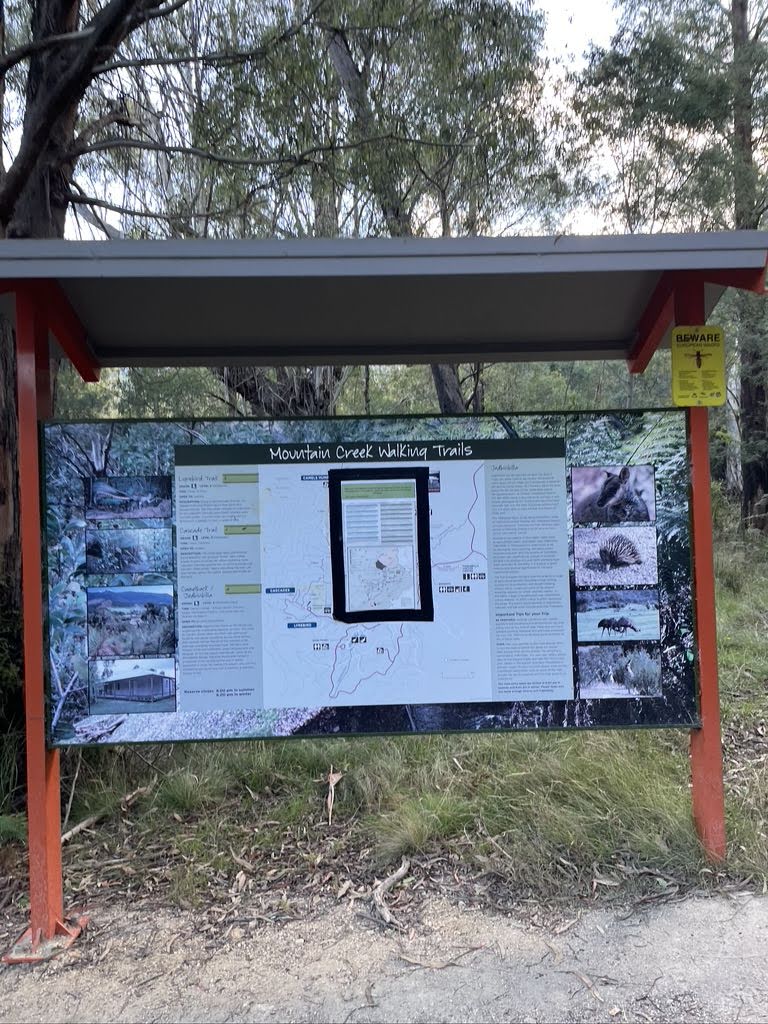
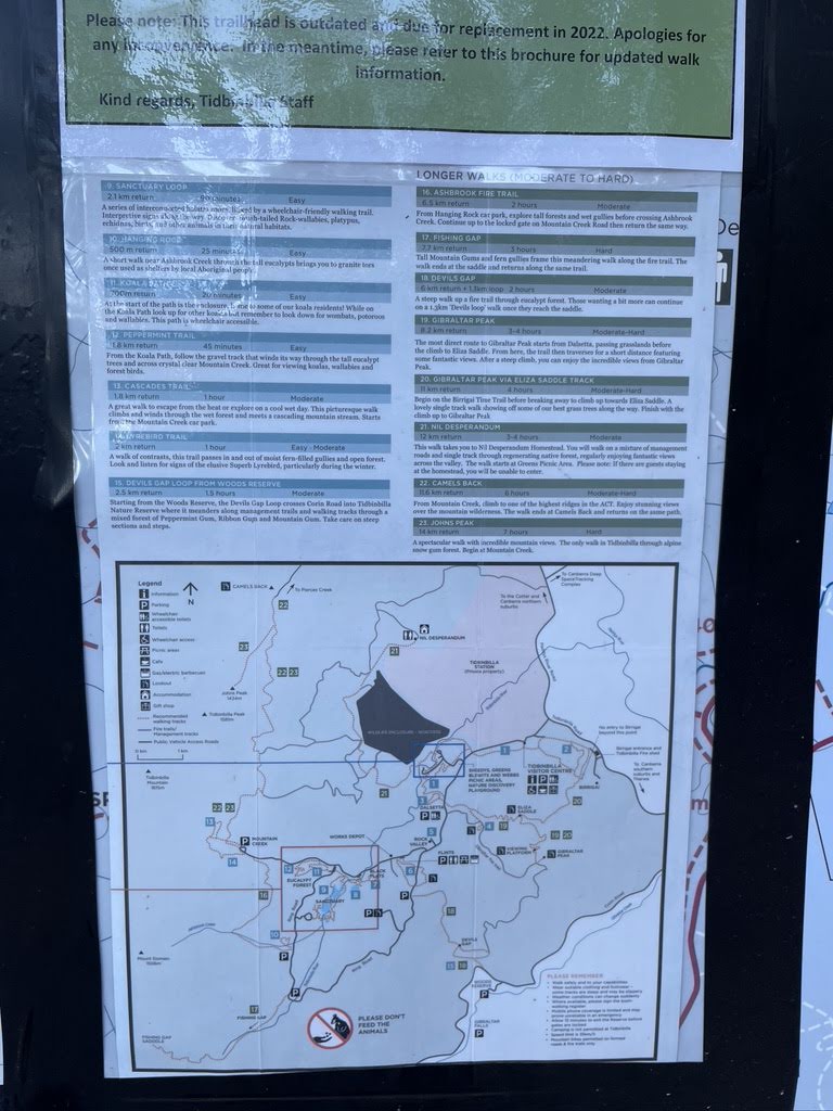
Starting from Mountain Creek car park, Tidbinbilla Nature Reserve, this walk takes you on a circuit in the diverse woodland around Mountain Creek via the Lyrebird Track. The dense, diverse woodland combined with sounds of lyrebirds and trickling water sets a lovely scene. Enjoy the tranquillity as you make you continue along this family-friendly walk. Kangaroos and koalas can also be seen here, so keep an eye out. If you're coming for the lyrebirds, better make your journey in winter. Remember to sign in and out at the trail register. If coming by car, you'll need to pay a fee at the visitor centre (unless you have an annual pass). Let us begin by acknowledging the Traditional Custodians of the land on which we travel today, and pay our respects to their Elders past and present.
Show all
Photo by Julia, 2022.
Downloads GPX PDF

+
-
Safer Bushwalks
Tips on staying safe on track
Before you start any bushwalk ensure you;
• Tell someone you trust where you are going and what to do if you are overdue
• Have adequate equipment, supplies, skills & knowledge for the whole journey
• Consider the impact of weather forecasts, park/track closures & fire dangers
• Can respond to emergencies & call for help at any point
• Are healthy and fit enough for this journey
If not, change plans and stay safe. It is okay to delay and ask people for help.
+
-
Getting There
Transport options and directions
Start (-35.4569166,148.8895042)
Mode Car
DirectionsFrom Drakeford Drive, Isabella Plains.
  • Turn on to Woodcock Drive then drive for 2 km
  • Turn right onto Jim Pike Avenue and drive for another 820 m
  • Turn right onto Point Hut Road and drive for another 4.8 km
  • Turn right onto Tidbinbilla Road and drive for another 10 km
  • Turn left onto Tidbinbilla Reserve Road and drive for another 550 m
  • Keep right onto Tidbinbilla Reserve Road and drive for another 3 km
  • Turn slight right onto Tidbinbilla Reserve Road and drive for another 670 m
  • Turn left onto Ashbrook Fire Trail and drive for another 3.2 km
  • Turn right onto Tidbinbilla Reserve Road and drive for another 1.9 km
  • Turn sharp left and drive for another 1.8 km
+
-
Track Notes
Turn by turn instructions & maps
Getting started
From the Mountain Creek car park, head towards the sheltered signpost on the other side of the paved road. Pass by a small "One Way" sign to your left, then pass by the said "Mountain Creek Walking Trails" sign to your left as well. Follow the narrow dirt track as you pass by a small orange directional sign to your right. Shortly after, pass by a picnic table to your left. Continue straight at the 3-way intersection and pass by the orange bushwalking register (to your right) to continue along Mountain Creek Lyrebird Circuit (counterclockwise).....
Turn map Directions & comments
Start.
There is a car park (about 8 m back from the start).
After another 10 m continue straight.
After another 225 m turn left, to head along Camelback Fire Trail.
After another 15 m (at the intersection of Lyrebird & Camelback Fire Trail) turn right, to head along Lyrebird (a footpath).
After another 115 m cross the bridge (about 6 m long)
The starting point of an alternate route. An alternate route adding the Cascades Trail to your journey. To take the alternate route continue straight here. Details below.
After another 150 m (at the intersection of Lyrebird & Cascades) turn left, to head along Lyrebird.
After another 50 m (at the intersection of Lyrebird & Cascades) continue straight, to head along Lyrebird.
After another 130 m (at the intersection of Lyrebird & Mountain Creek) continue straight, to head along Lyrebird.
After another 200 m (at the intersection of Lyrebird & Bowen Trail) continue straight, to head along Lyrebird.
After another 790 m (at the intersection of Lyrebird & Mountain Creek) continue straight, to head along Lyrebird.
After another 185 m head through/around the gate.
At the intersection of Lyrebird & Camelback Fire Trail veer right, to head along Lyrebird.
After another 15 m turn right.
After another 4 m come to the end.

An alternate route adding the Cascades Trail to your journey.
Turn map Directions & comments
At the intersection of Cascades & Lyrebird Start heading along Cascades (a footpath).
After another 60 m cross the bridge (about 5 m long)
Continue another 630 m to find at the intersection of Lyrebird & Cascades at the end.
At the end of this alternate route, rejoin the main route.
+
-
Terrain
Know the Hills, grading & facilities

Mountain Creek Lyrebird Circuit


Grading
Class 3/6
Moderate track
Length 1.9 km
Time 40 min to 1 h
Quality of track Formed track, with some branches and other obstacles (3/6)
Gradient Gentle hills with occasional steps (2/6)
Signage Clearly signposted (2/6)
Infrastructure Generally useful facilities (such as fenced cliffs and seats) (2/6)
Experience Required No experience required (2/6)
Weather Storms may impact on navigation and safety (3/6)
+
-
Articles
Discover more details to thrive on track
Get more information

Videos
+
-
Reviews & Feedback
Share your experience
+
-
Weather & Alerts
Check forecasts & closures
Show Full Weather
Alerts and Closures
Show all alerts
Show all alerts
Show all alerts
+
-
Other Journeys
Discover nearby and similar journeys
Some of the information and maps on this page was generated using data from the awesome © OpenStreetMap contributors.
Please see how you can embed some widgets, access data and other stuff to that might be helpful.