Bittangabee Bay to Pulpit Rock
Yuin Country

1 h 45 min to 2 h

5.2 km
oneway

↑ 116 m
↓ -105 m

Hard track
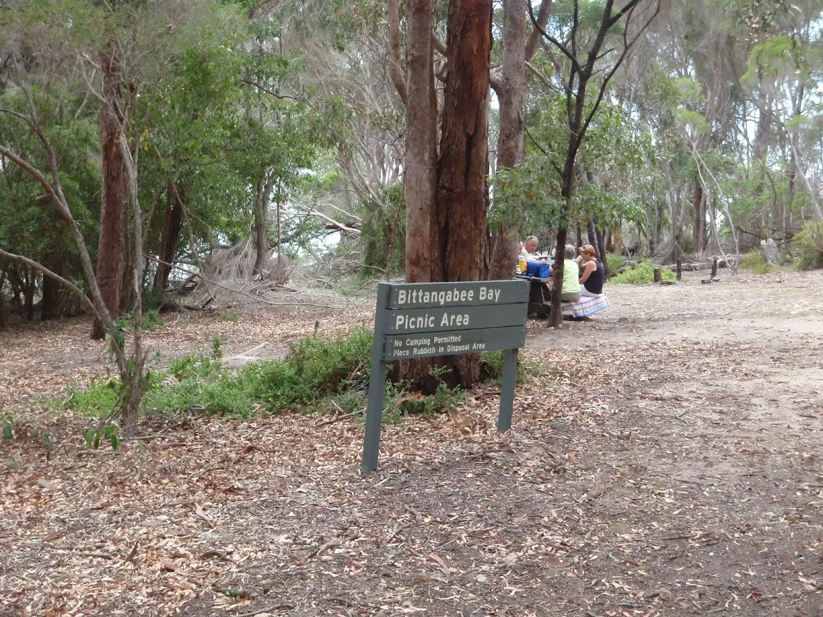
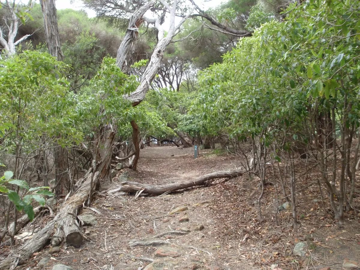
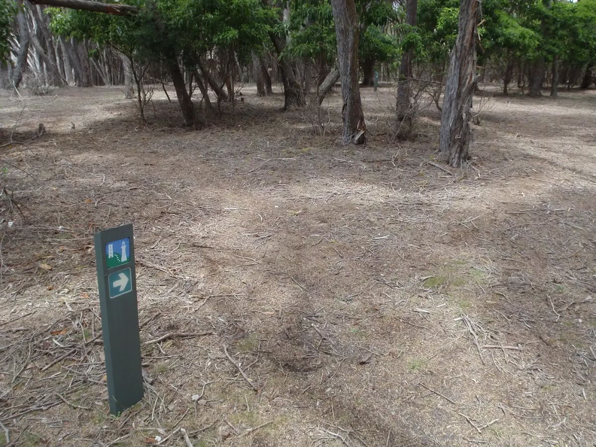
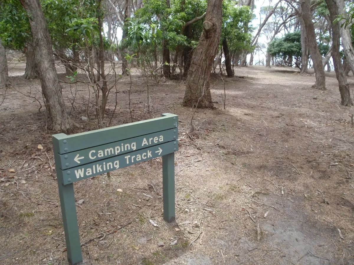
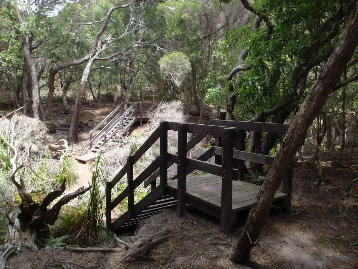
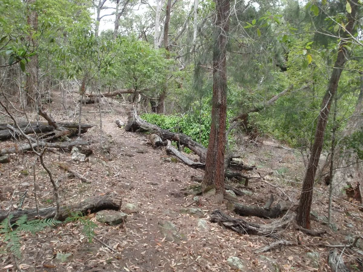
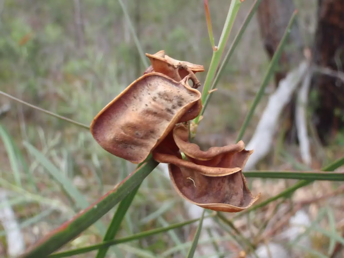
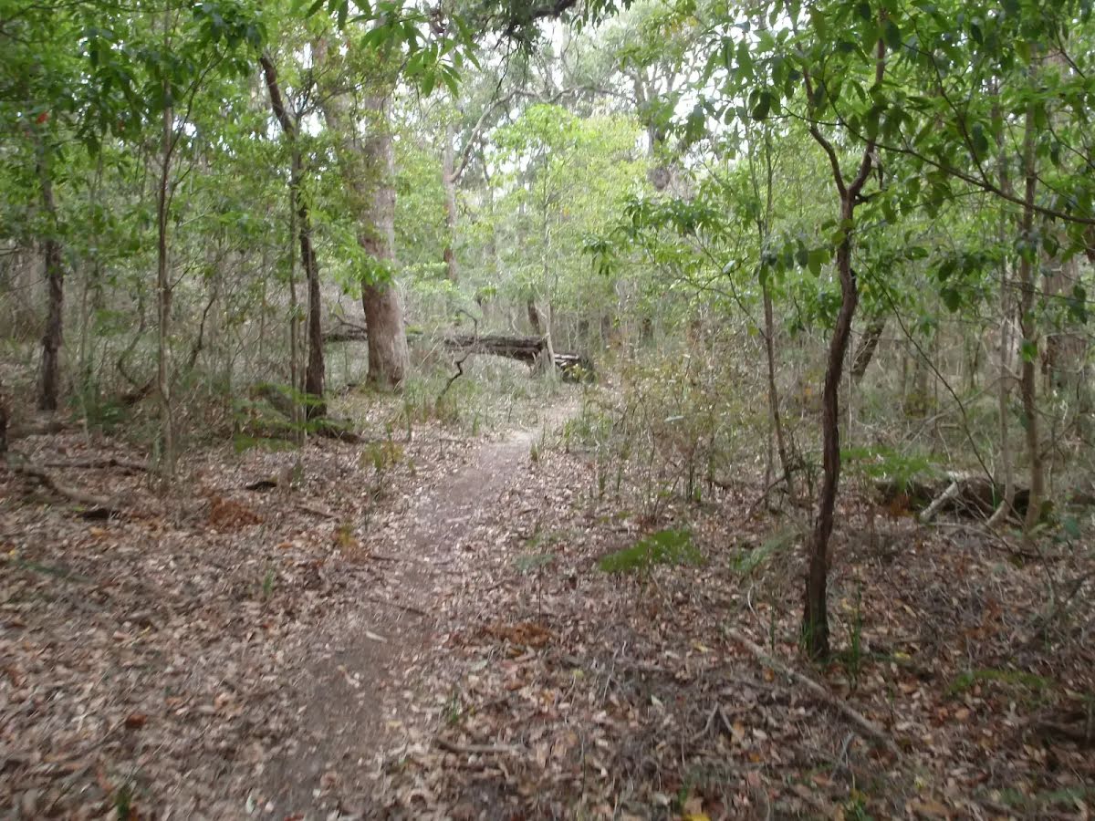
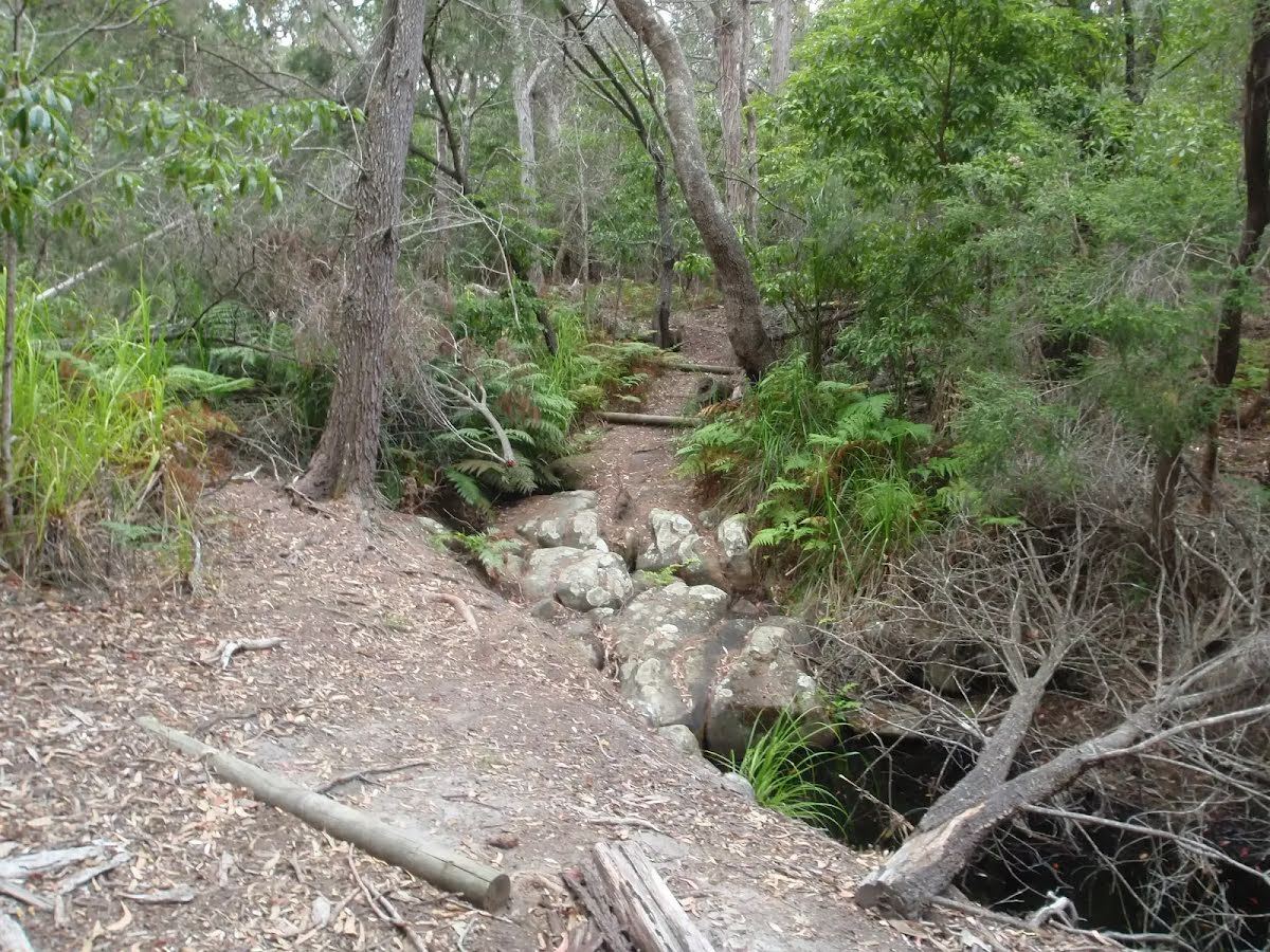
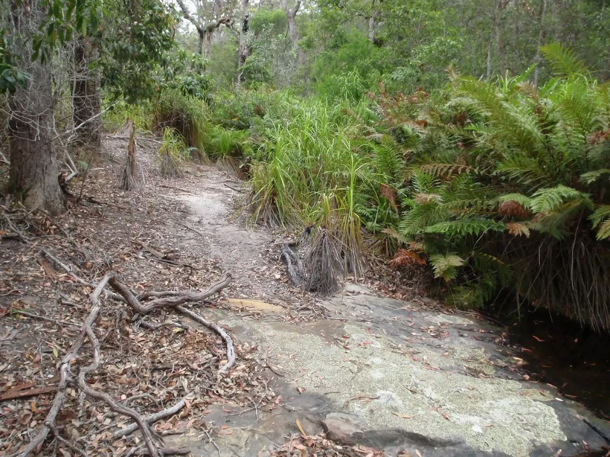
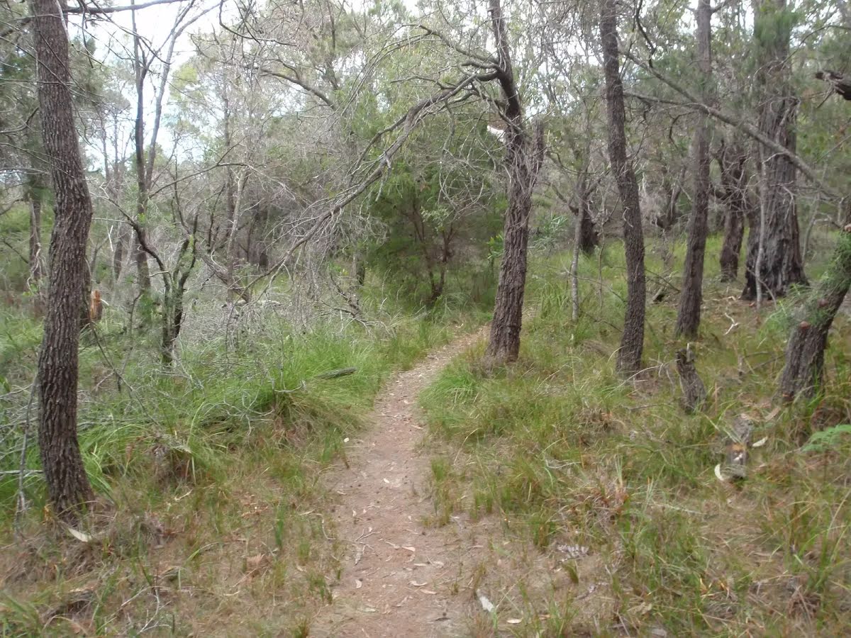
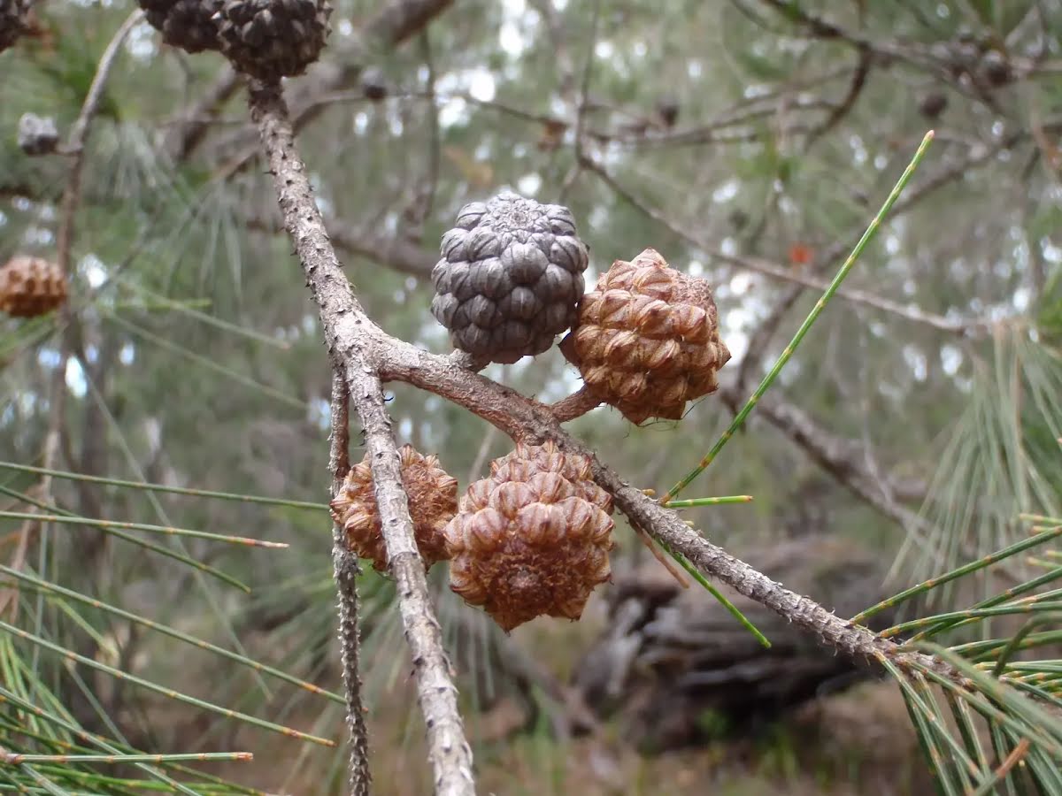
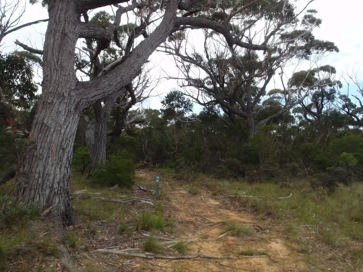
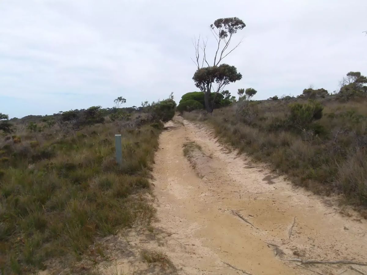
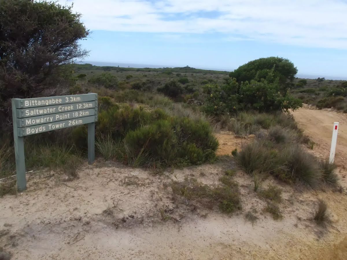
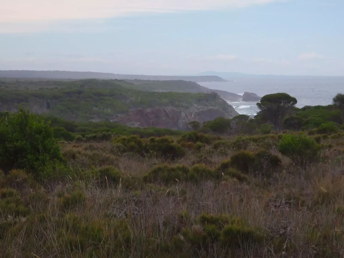
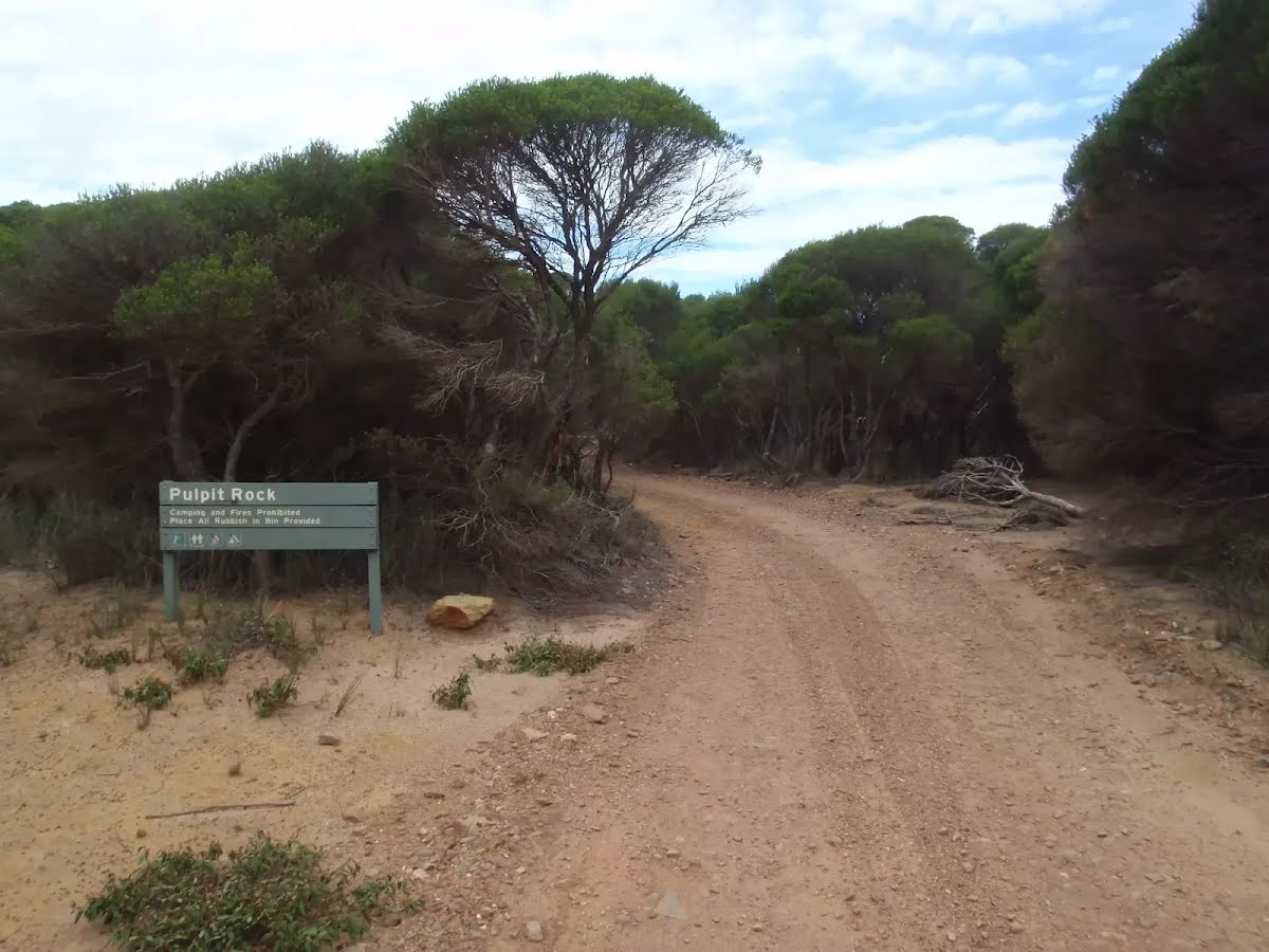
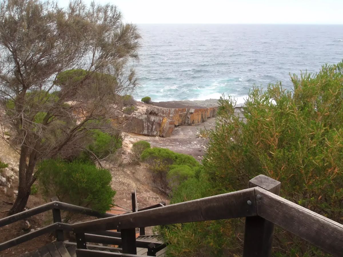
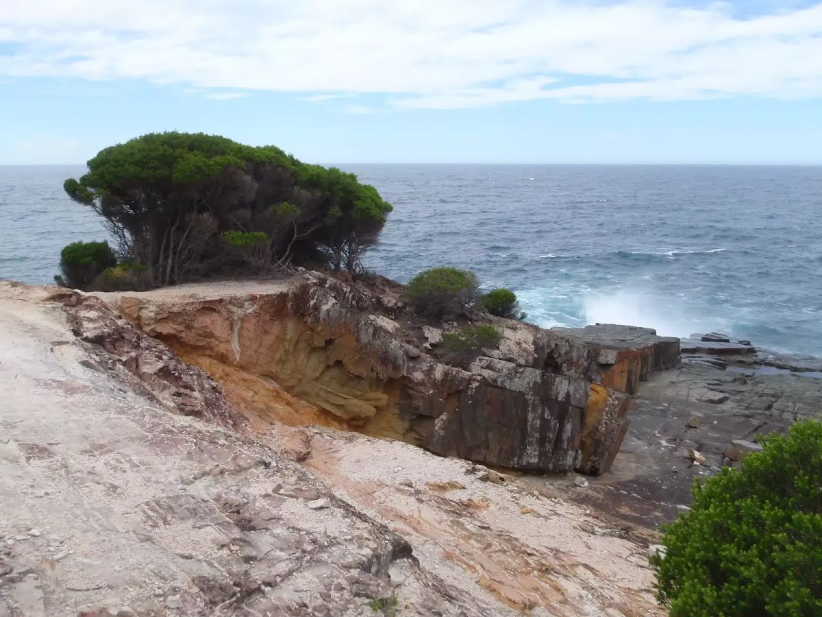
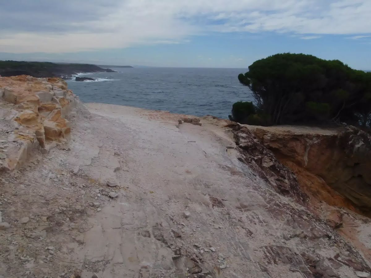
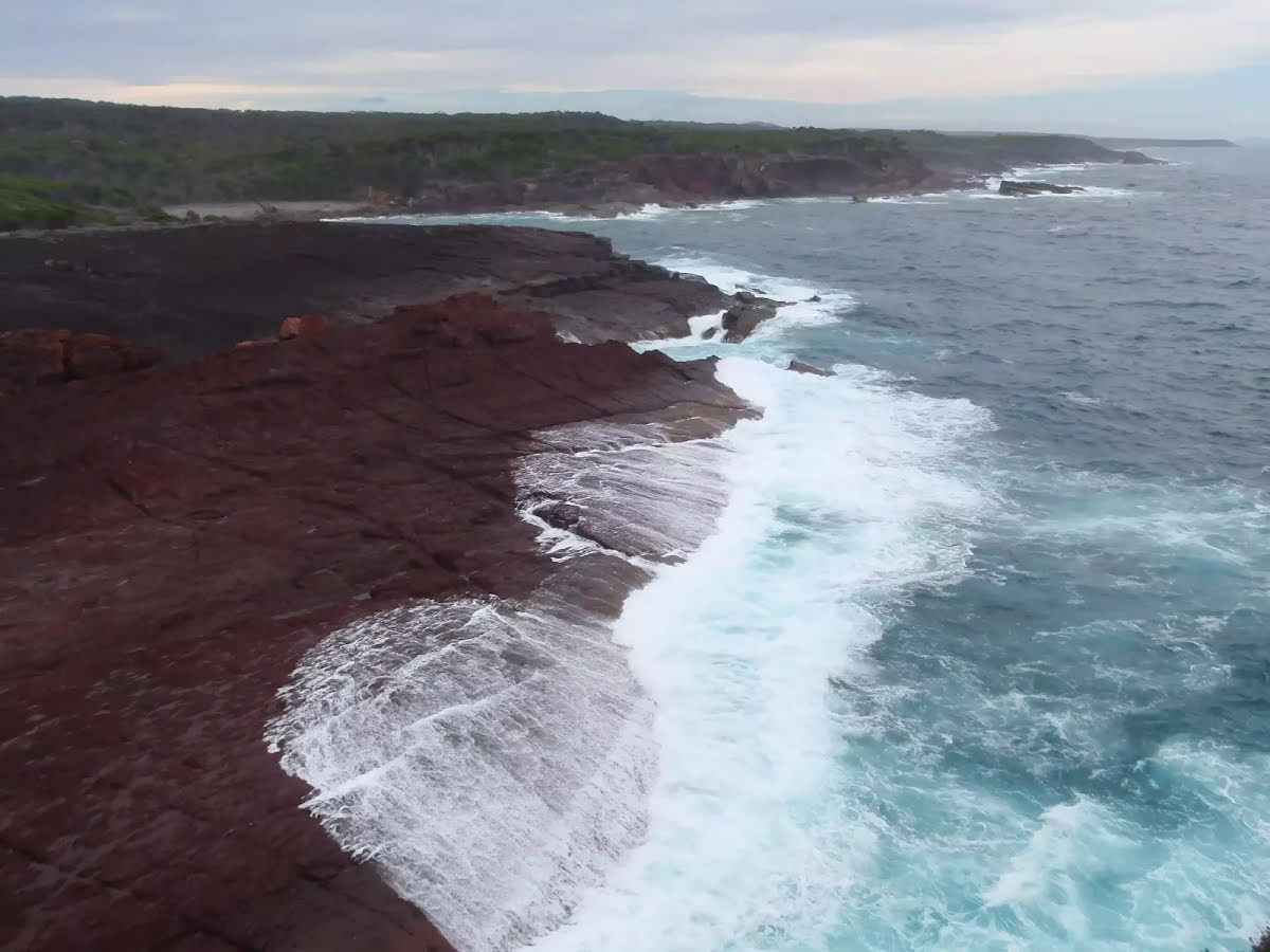
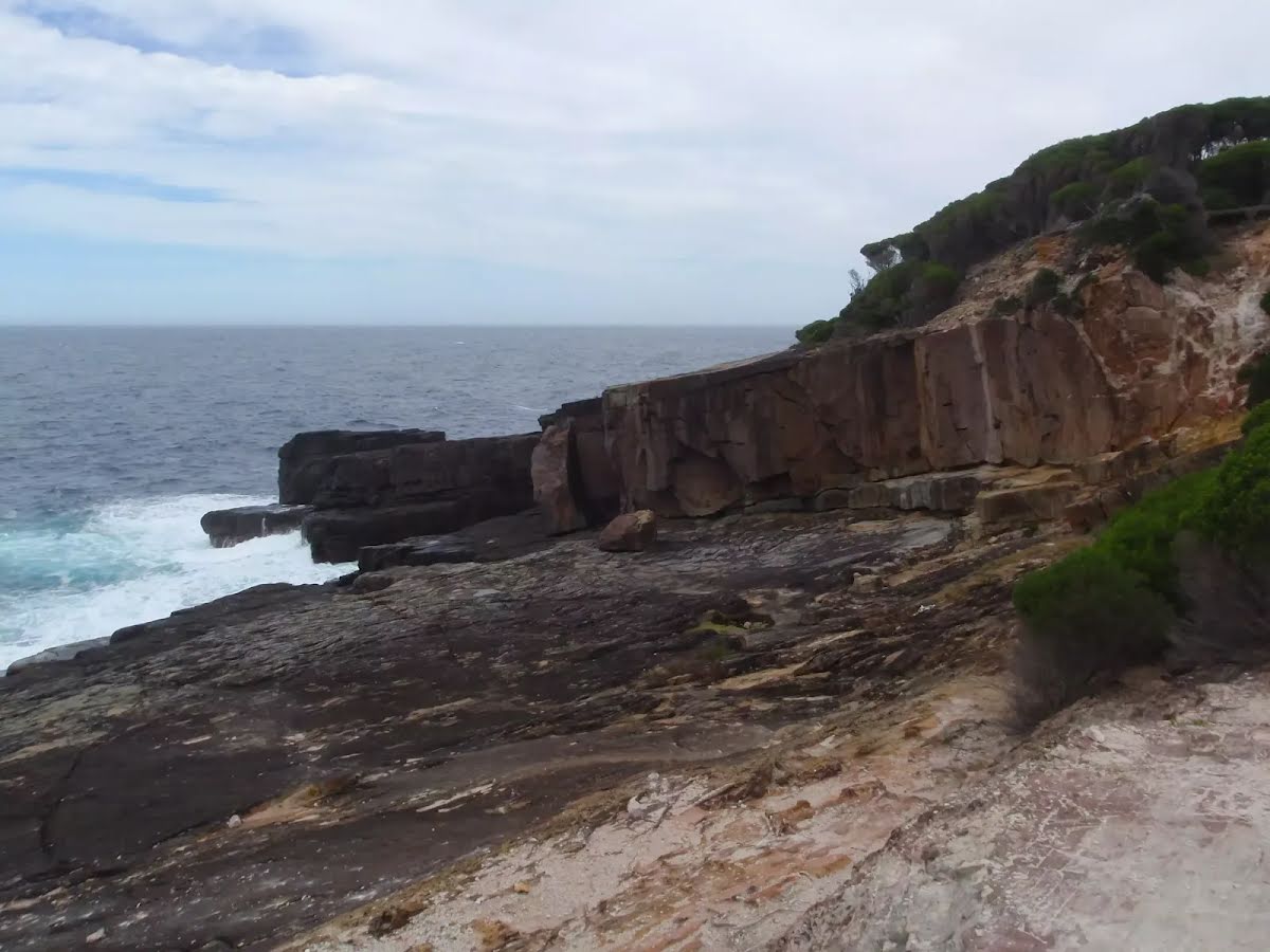
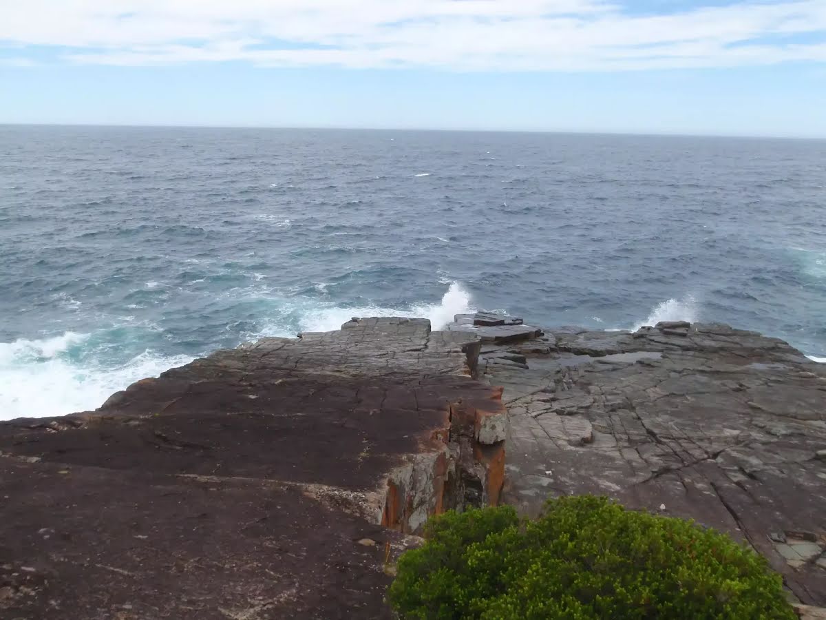
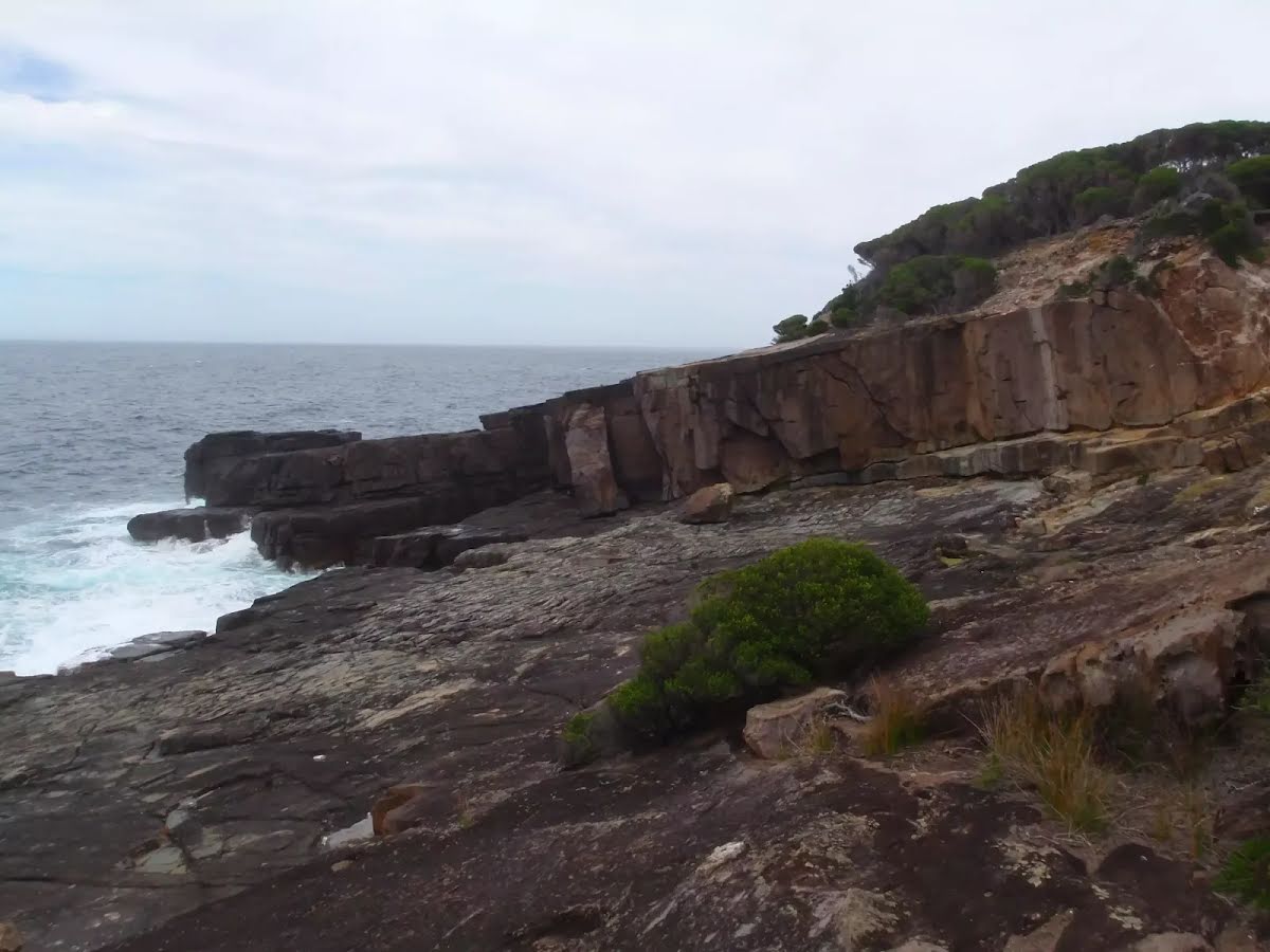
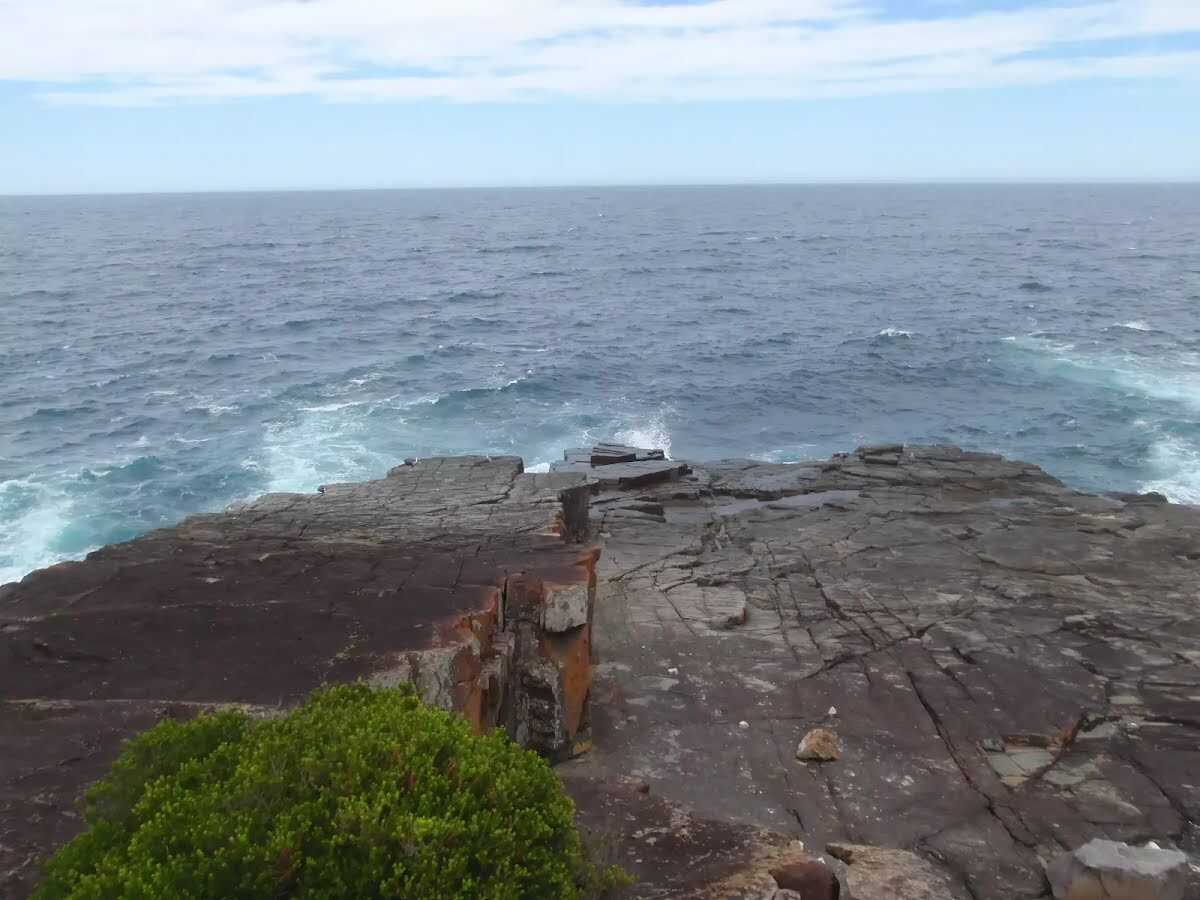
This walk from Bittangabee Bay is a magnificent way to view the coastline of Ben Boyd National Park. The low heath for much of this walk allows great views out across the ocean and across the flora of the park. The walk finishes with a longish section of service trail leading down to Pulpit Rock, where the ocean relentlessly beats against the rock shelf. Allowing more time you could return to Bittangabee Bay by retracing your steps. Let us begin by acknowledging the Yuin people, Traditional Custodians of the land on which we travel today, and pay our respects to their Elders past and present. 
Show all
Bittangabee Picnic area and sign. | Photo by admin, 2009.
Track below road and camping area Bittangabee Bay. | Photo by admin, 2009.
Bittangabee camping area. | Photo by admin, 2009.
Track down to the Storehouse Bittangabee Bay. | Photo by admin, 2009.
Track through the trees. | Photo by admin, 2009.
Light to Light track marker near Bittangabee camping area. | Photo by admin, 2009.
Sign post along Light to Light walk. | Photo by admin, 2009.
Stairs through gully south of Bittangabee Bay. | Photo by admin, 2009.
Track north of the stairs. | Photo by admin, 2009.
Seed pods. | Photo by admin, 2009.
Track along creek south of Bittangabee. | Photo by admin, 2009.
Light to Light walk. | Photo by admin, 2009.
Creek crossing south of Bittangabee Bay. | Photo by admin, 2009.
Track to the service trail. | Photo by admin, 2009.
Seed pods. | Photo by admin, 2009.
Bushtrack meeting the service trail. | Photo by admin, 2009.
Service trail with Light to Light signpost. | Photo by admin, 2009.
Sign on Pulpit Rock Rd. | Photo by admin, 2009.
Looking North up the coast south of Pulpit Rock Rd. | Photo by admin, 2009.
Sign before Pulpit Rock car park. | Photo by admin, 2009.
Toilet in Pulpit Rock car park. | Photo by admin, 2009.
Side track near Pulpit Rock lookout. | Photo by admin, 2009.
Stairs down to Pulpit Rock. | Photo by admin, 2009.
Track down Pulpit Rock. | Photo by admin, 2009.
Track looking north from Pulpit Rock. | Photo by admin, 2009.
Ocean slamming rocks north of Pulpit Rock. | Photo by admin, 2009.
Pulpit Rock formations. | Photo by admin, 2009.
Waves crashing on Pulpit Rock. | Photo by admin, 2009.
Pulpit Rock cliffs. | Photo by admin, 2009.
Map Notes Terrain Reviews Conditions More
Downloads GPX PDF

Some of the information and maps on this page was generated using data from the awesome © OpenStreetMap contributors.
Please see how you can embed some widgets, access data and other stuff to that might be helpful.