| Turn map |
Directions & comments |
|
|

Macquarie Park Start (a footpath).

Find the emergency call device at the start.
|
|
|

After another 20 m continue straight.
After another 7 m pass the emergency call device (6 m on your right).

Then pass the pay phone (30 m on your right).

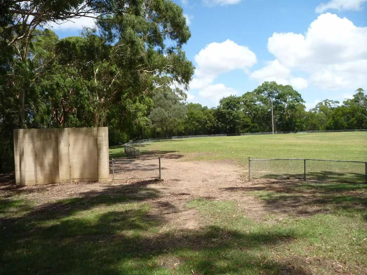
After another 15 m pass the toilet (on your left). This toilet is wheelchair accessible.
|
|
|
From the Waterloo Road continue straight.
After another 15 m pass the emergency call device (50 m on your right).

After another 90 m pass the car park (5 m on your left).
After another 135 m pass the car park (15 m on your left).
After another 30 m pass the car park (15 m on your left).

After another 30 m pass the "KFC" (45 m on your right).
Su-Th 10:00-22:30
Fr,Sa 10:00-23:00
After another 5 m pass the pay phone (25 m on your right).
After another 60 m pass the car park (35 m on your right).
|
|
|
After another 270 m (from the Lane Cove Road Offramp) continue straight.
|
|
|
After another 20 m (from the Lane Cove Road Offramp) continue straight.
After another 220 m pass the car park (45 m on your right).
|
|
|
Continue straight.
After another 15 m find the "Eden Gardens" (40 m on your right).
After another 125 m pass the "Tuckwell Park" (on your left).
|
|
|
Continue straight.
After another 215 m pass the car park (40 m on your left).
After another 20 m pass the car park (65 m on your left).
|
|
|
Continue straight.

After another 100 m cross the bridge (about 185 m long)

Then pass the sign (70 m on your right).
|
|
|

After another 35 m turn left.
|
|
|

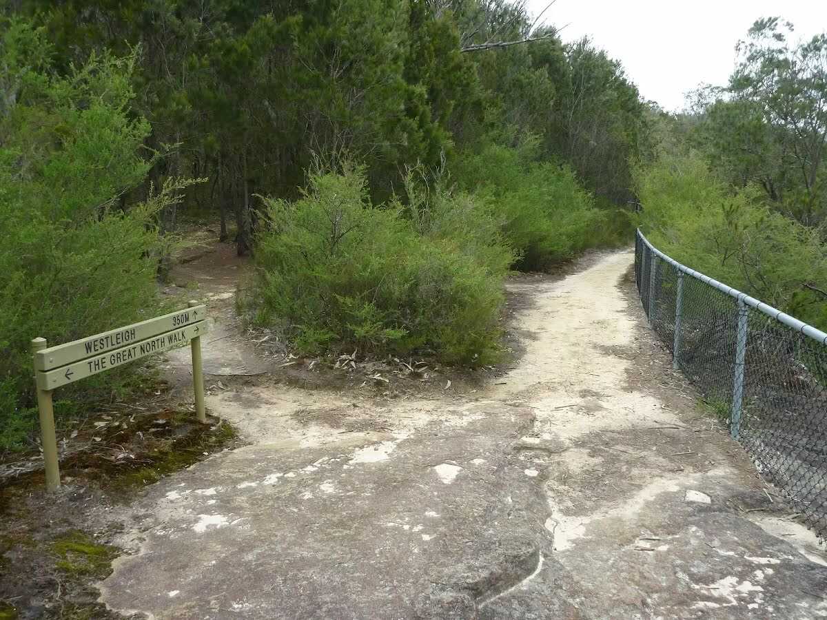
After another 45 m (from the The Great North Walk) turn right, to head along The Great North Walk.

After another 15 m head down the 5 earthen steps (about 4 m long)

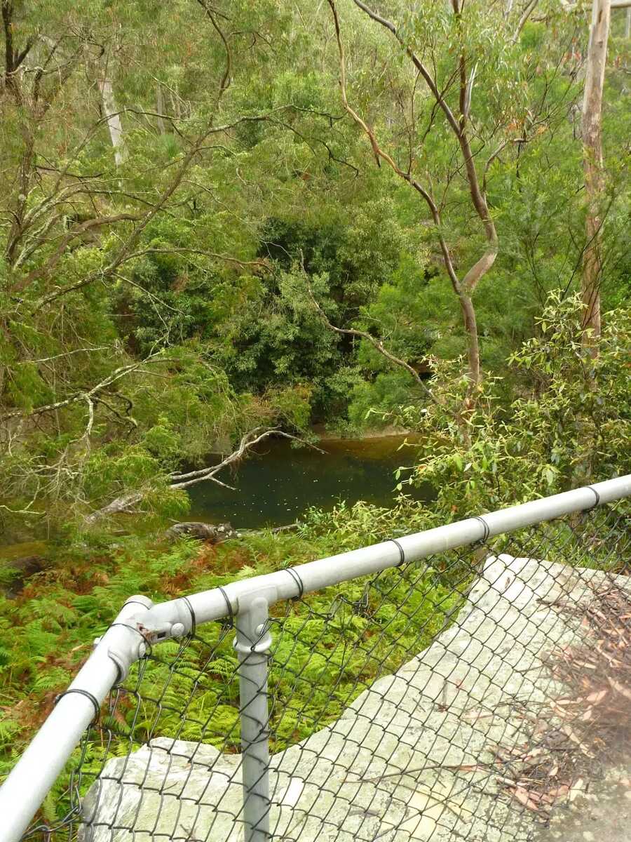
After another 65 m come to the viewpoint (5 m on your left).
After another 380 m pass the sign (5 m on your left).
|
|
|
From the The Great North Walk continue straight, to head along The Great North Walk (a vehicle track).
After another 75 m cross the bridge (about 9 m long)
|
|
|
After another 145 m (from the The Great North Walk) turn left, to head along The Great North Walk (a walking track).
After another 9 m pass the sign (5 m on your left).
|
|
|
After another 9 m (from the The Great North Walk) continue straight, to head along The Great North Walk.
After another 550 m head down the 4 steps

Then cross the ford.
|
|
|
At the intersection of The Great North Walk & Quarry Creek continue straight, to head along The Great North Walk.

After another 6 m head up the 6 earthen steps (about 4 m long)
|
|
|
After another 25 m (at the intersection of Gloucester Avenue Trail & The Great North Walk) continue straight, to head along Gloucester Avenue Trail (a vehicle track).
After another 35 m (at the intersection of Gloucester Avenue Trail & The Great North Walk) continue straight, to head along Gloucester Avenue Trail.
After another 420 m cross the ford.
At the intersection of Gloucester Avenue Trail & Congham reek continue straight, to head along Gloucester Avenue Trail.
After another 40 m (from the Gloucester Avenue Trail) continue straight, to head along Gloucester Avenue Trail.
|
|
|
After another 80 m (from the Gloucester Avenue Trail) turn left (a walking track).
After another 30 m (from the The Great North Walk) continue straight, to head along The Great North Walk.
|
|
|

After another 130 m (from the The Great North Walk) veer right, to head along The Great North Walk.
|
|
|
After another 180 m (from the The Great North Walk) continue straight, to head along The Great North Walk.
After another 7 m come to the viewpoint (8 m on your left).
|
|
|
After another 35 m (from the The Great North Walk) continue straight, to head along The Great North Walk.
Then come to the viewpoint (8 m on your left).
|
|
|
After another 250 m (from the The Great North Walk) continue straight, to head along The Great North Walk (a vehicle track).
After another 95 m cross the ford.
|
|
|
From the The Great North Walk continue straight, to head along The Great North Walk.
After another 150 m pass the "Walking and Service Trails in the Lane Cove Valley" (7 m on your right).
|
|
|

From the The Great North Walk veer left, to head along The Great North Walk (a walking track).
After another 20 m cross the bridge (about 7 m long)
|
|
|
After another 105 m (from the The Great North Walk) veer right, to head along The Great North Walk.
|
|
|
After another 35 m (from the The Great North Walk) continue straight, to head along The Great North Walk.
After another 75 m cross the bridge (about 15 m long)
|
|
|
After another 215 m (from the The Great North Walk) turn left, to head along The Great North Walk (a vehicle track).
|
|
|
After another 50 m (from the The Great North Walk) continue straight, to head along The Great North Walk.

After another 350 m cross the stepping stones.
After another 450 m cross the ford.
|
|
|
From the The Great North Walk continue straight, to head along The Great North Walk.
After another 15 m (from the The Great North Walk) continue straight, to head along The Great North Walk.
|
|
|
After another 20 m (from the The Great North Walk) turn left (a highway|cycleway).
After another 15 m pass the "Walking and Service Trails in the Lane Cove Valley" (6 m on your right).
|
|
|
After another 45 m continue straight.
|
|
|
After another 155 m continue straight.
After another 7 m pass the "The Great North Walk" (on your left).

After another 15 m find the "Browns Waterhole" (25 m on your left).
|
|
|
After another 15 m (from the The Lane Cove Valley Walk) veer right, to head along The Lane Cove Valley Walk (a vehicle track).
After another 10 m pass the "Walking and Service Trails in the Lane Cove Valley" (7 m on your right).
Then pass the "The Great North Walk" (4 m on your right).
After another 230 m pass the "Great North Walk".
|
|
|
After another 270 m (from the The Lane Cove Valley Walk) turn left, to head along The Lane Cove Valley Walk.
After another 8 m pass the sign (on your right).
|
|
|
From the The Lane Cove Valley Walk continue straight, to head along The Lane Cove Valley Walk.
After another 60 m pass the sign (on your right).
At the intersection of The Lane Cove Valley Walk & The Step - Main loop continue straight, to head along The Lane Cove Valley Walk.
After another 40 m pass the sign (10 m on your left).
After another 280 m come to the "The Step Lookout" (70 m on your right).
After another 125 m pass the sign (55 m on your right).
After another 170 m pass the sign (on your right).
After another 10 m pass the sign (on your right).
Then pass the sign (on your right).
After another 5 m pass the "The Great North Walk" (on your right).
|
|
|
At the intersection of The Lane Cove Valley Walk & Lane Cove Valley Walk continue straight, to head along The Lane Cove Valley Walk.
After another 70 m pass the "Walking and Service Trails in the Lane Cove Valley" (10 m on your right).
|
|
|
At the intersection of The Lane Cove Valley Walk & Devlins Creek Trail continue straight, to head along The Lane Cove Valley Walk.
After another 15 m pass the sign (30 m on your left).
After another 30 m pass the sign (4 m on your left).
After another 380 m (from the The Lane Cove Valley Walk) continue straight, to head along The Lane Cove Valley Walk.

After another 35 m pass the "Dog paw cave" (80 m on your right).
After another 140 m cross the ford.
At the intersection of The Lane Cove Valley Walk & Lane Cove River continue straight, to head along The Lane Cove Valley Walk.
|
|
|
After another 430 m (from the The Lane Cove Valley Walk) continue straight, to head along The Lane Cove Valley Walk.
After another 70 m cross the ford.
|
|
|
At the intersection of The Lane Cove Valley Walk & Lane Cove River continue straight, to head along The Lane Cove Valley Walk.
|
|
|
After another 30 m (from the The Lane Cove Valley Walk) continue straight, to head along The Lane Cove Valley Walk.
After another 480 m (from the The Lane Cove Valley Walk) continue straight, to head along The Lane Cove Valley Walk.
After another 490 m cross the ford.
|
|
|
From the The Lane Cove Valley Walk continue straight, to head along The Lane Cove Valley Walk.
After another 105 m cross the ford.
|
|
|
From the The Lane Cove Valley Walk veer left, to head along The Lane Cove Valley Walk.
|
|
|
After another 175 m (at the intersection of Morona Avenue Firetrail & The Great North Walk) veer left (a walking track).
After another 9 m pass the "Walking and Service Trails in the Lane Cove Valley" (on your right).
After another 10 m pass the "The Great North Walk" (on your left).
After another 25 m pass the "Depth Marker" (on your left).
|
|
|
After another 7 m continue straight.
After another 160 m pass the "The Great North Walk" (on your right).
Then cross the stepping stones.
|
|
|
From the Lane Cove River continue straight.
After another 30 m pass the sign (7 m on your left).
After another 15 m head up the 14 stone steps (about 7 m long)
After another 6 m find the "Conscript Pass" (on your left).
After another 9 m head up the 14 stone steps (about 10 m long)
After another 70 m head up the 27 stone steps (about 25 m long)
After another 9 m head up the 16 stone steps (about 7 m long)
|
|
|
After another 2 m (at the intersection of Lorna Pass Track & The Great North Walk) turn left.
After another 25 m pass the "The Great North Walk" (6 m on your left).
After another 30 m pass the "The Great North Walk" (6 m on your right).
After another 45 m cross the ford.
|
|
|
Continue straight.
After another 65 m pass the "The Great North Walk" (on your right).
After another 15 m head up the 57 earthen steps (about 60 m long)
After another 20 m pass the "The Great North Walk" (on your left).
After another 5 m pass the sign.
|
|
|
From the Lorna Pass turn right.
After another 15 m pass the "The Great North Walk" (on your left).

After another 185 m pass a seat (5 m on your right)., has a backrest.
Then pass the "Walking and Service Trails in the Lane Cove Valley" (on your left).
Then pass the "The Great North Walk" (on your left).

After another 100 m head through/around the gate.
|
|
|
Continue straight.
After another 15 m pass the toilet (about 25 m ahead).
24/7
Then pass the car park (about 30 m ahead).
|
|
|
Turn left.
After another 5 m continue straight.
Then pass a seat (on your left).
After another 30 m find the "Thornleigh Oval" (9 m on your right).
Then pass the "The Great North Walk" (10 m on your right).
After another 10 m pass the "The Great North Walk" (10 m on your right).
|
|
|
After another 5 m (from the Handley Avenue) continue straight, to head along Handley Avenue (a residential road).
|
|
|
After another 130 m (at the intersection of Handley Avenue & Clifford Avenue) continue straight, to head along Handley Avenue.
After another 265 m pass the "The Great North Walk" (6 m on your right).
|
|
|
At the intersection of Orchard Street & Handley Avenue turn right, to head along Orchard Street.
|
|
|
After another 20 m (at the intersection of Station Street & Orchard Street) turn left, to head along Station Street.
|
|
|
After another 200 m (at the intersection of Station Street & Wood Street) continue straight, to head along Station Street.
After another 175 m (from the Station Street) continue straight, to head along Station Street.

After another 35 m find the "Subway" (25 m on your right).
|
|
|
From the Station Street continue straight (a footpath).
After another 15 m cross the bridge (about 120 m long)
|
|
|
Turn right.
Then cross the bridge (about 100 m long)
After another 20 m pass the car park (50 m on your right).
|
|
|
Turn right.
Then cross the bridge (about 4 m long)
Then head down the 14 concrete steps (about 4 m long)
|
|
|
After another 8 m (at the intersection of Railway Parade & Station Street) turn right.
After another 35 m pass the "Curl and Wisker Cafe" (6 m on your left).
Then pass the "The Great North Walk" (on your right).
After another 5 m pass a seat (20 m on your right)., has a backrest.
Then pass a seat (15 m on your right)., has a backrest.
After another 80 m find the "Zacs Great Food" (35 m on your left).
Then head up the 4 concrete steps (about 15 m long)
|
|
|
Turn right.
Then cross the bridge (about 50 m long)
Then head up the 19 concrete steps (about 8 m long)
Then pass the "The Great North Walk" (on your left).
Then cross the bridge (about 40 m long)
Then pass the toilet (15 m on your right)., male.
Then pass the toilet (20 m on your right)., female.
Then pass the pay phone (15 m on your right).
|
|
|
Continue straight.
After another 10 m pass a seat (25 m on your left)., has a backrest.
After another 10 m cross the bridge (about 15 m long)
Then head down the 29 concrete steps (about 15 m long)
After another 7 m pass the "The Great North Walk" (on your left).
|
|
|
Veer left.
After another 10 m pass the "The Great North Walk" (on your left).
Then pass the pay phone (15 m on your left).
After another 20 m pass the car park (on your right).
After another 5 m pass the "Monday Morning" (35 m on your left).
|
|
|
Veer right.
After another 50 m pass the "The Great North Walk" (on your right).
Then pass a seat (25 m on your right)., has a backrest.
|
|
|
Turn left.
|
|
|
After another 8 m (from the Yarrara Road) continue straight.
|
|
|
After another 9 m continue straight.
|
|
|
After another 190 m continue straight.
After another 50 m pass the "The Great North Walk" (on your right).
After another 185 m pass the "The Great North Walk" (about 15 m ahead).
|
|
|
After another 125 m (from the Wells Street) continue straight.
|
|
|
After another 40 m turn right.
|
|
|
After another 5 m (at the intersection of Morgan Street & Tillock Street) continue straight, to head along Morgan Street (a residential road).
After another 10 m pass the "The Great North Walk" (on your right).
After another 110 m (at the intersection of Morgan Street & Dale Close) continue straight, to head along Morgan Street.
After another 15 m (from the Morgan Street) continue straight, to head along Morgan Street.
|
|
|
Elouera Bushland Natural Park
After another 145 m (at the intersection of The Great North Walk & Morgan Street) by following the "Elouera Bushland Natural Park" sign turn right, to head along The Great North Walk (a walking track).
After another 35 m pass the "The Great North Walk" (on your left).
After another 115 m cross the bridge (about 3 m long)

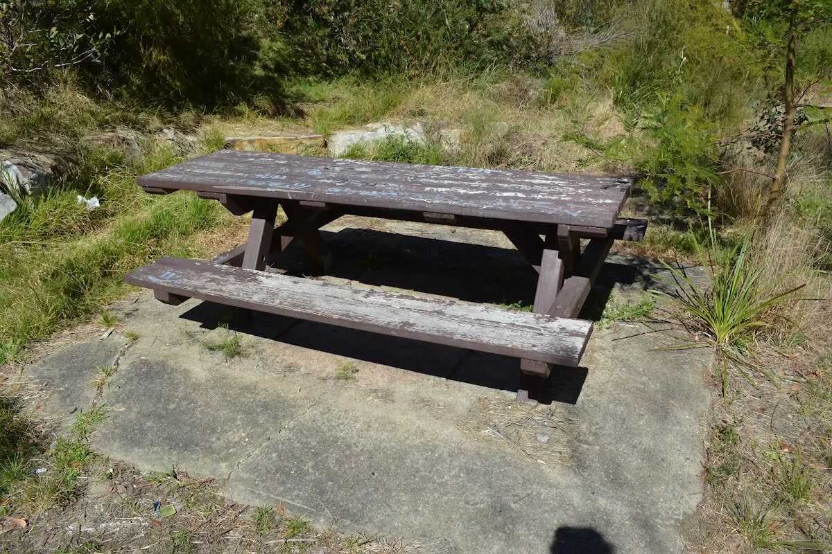
After another 80 m find the "Picnic Table" (70 m on your left).
After another 10 m pass the sign (on your left).
|
|
|
At the intersection of Timbarra Road - Bellamy Street Cycleway & The Great North Walk by following the "The Jungo" sign veer right, to head along Timbarra Road - Bellamy Street Cycleway.

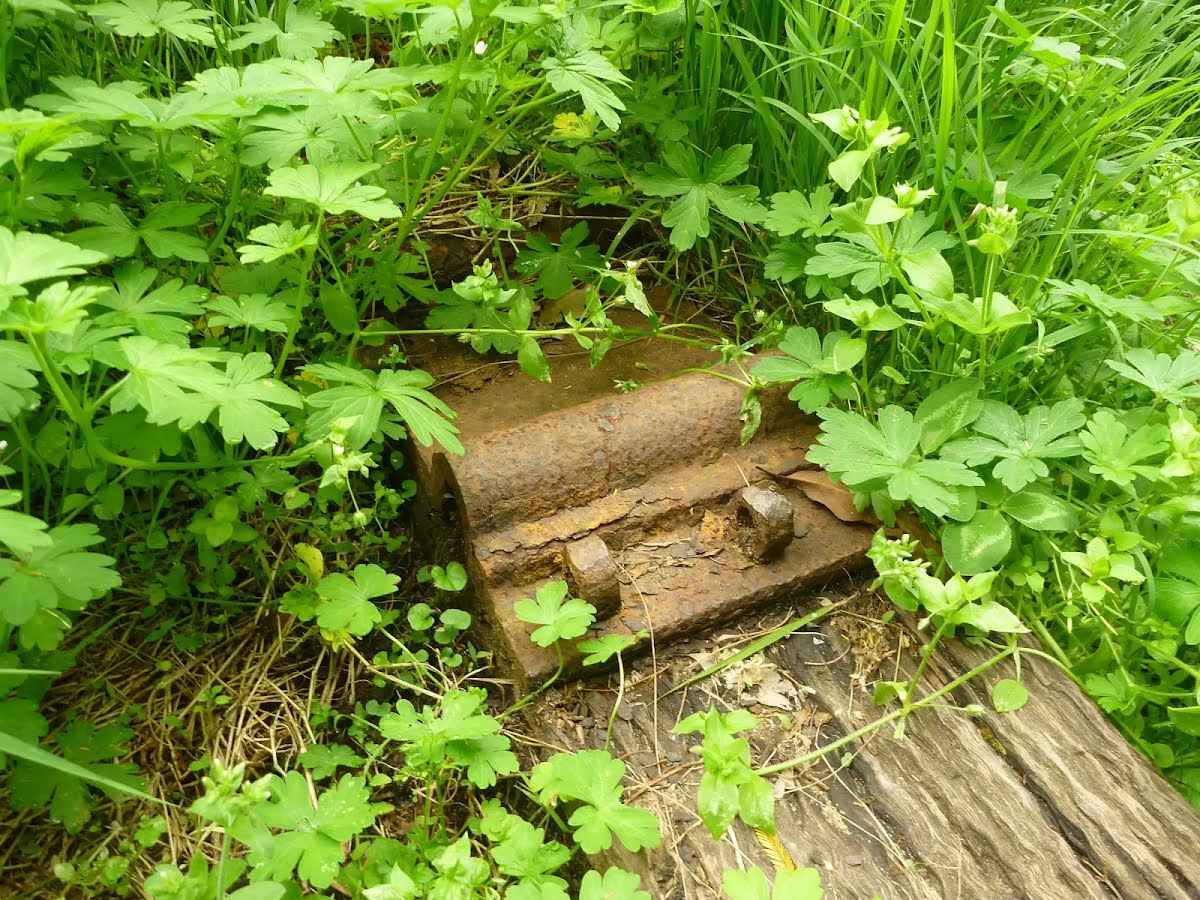
After another 15 m find the "Trip Hazard" (on your right).
Then cross the bridge (about 7 m long)
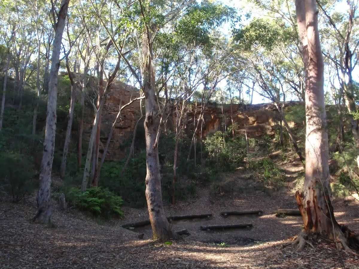
After another 125 m find the "Thornleigh zigzag railway" (10 m on your right).
Then pass the sign (on your left).
|
|
|
At the intersection of Timbarra Road - Bellamy Street Cycleway & The Great North Walk continue straight, to head along Timbarra Road - Bellamy Street Cycleway.
Then cross the bridge (about 30 m long)
|
|
|
After another 8 m (from the Timbarra Road - Bellamy Street Cycleway) continue straight, to head along Timbarra Road - Bellamy Street Cycleway.
After another 75 m find the "Seat" (30 m on your right).
After another 65 m find the "Old Thornleigh Quarry" (on your right).
|
|
|
After another 75 m (from the Timbarra Road - Bellamy Street Cycleway) continue straight, to head along Timbarra Road - Bellamy Street Cycleway.
|
|
|
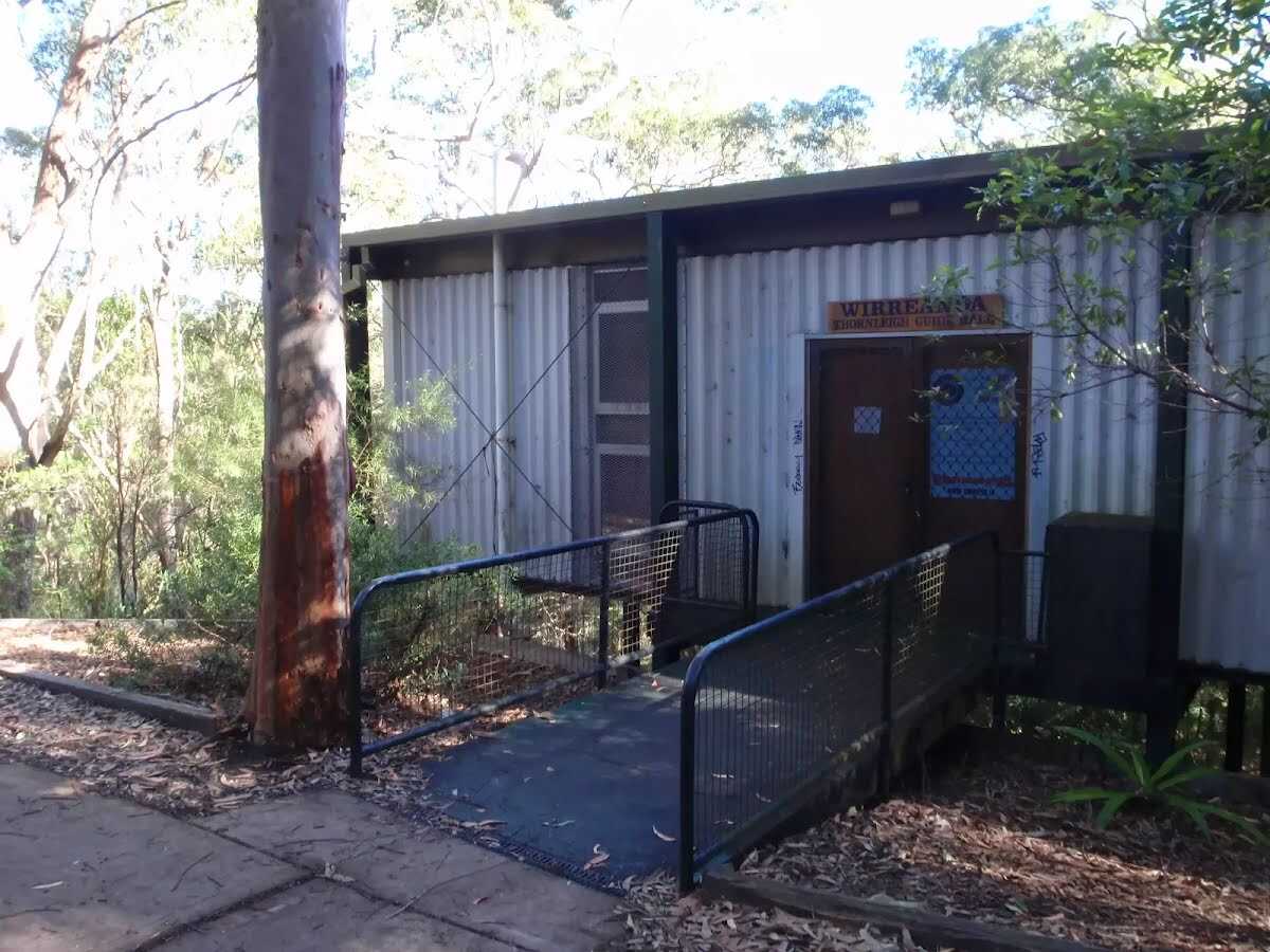
After another 50 m (from the Timbarra Road - Bellamy Street Cycleway) continue straight, to head along Timbarra Road - Bellamy Street Cycleway.
After another 50 m find the "Wirreanda Thornleigh Guide Hall" (4 m on your left).
After another 50 m head through/around the gate.
|
|
|
After another 40 m (from the Timbarra Road) continue straight, to head along Timbarra Road.
|
|
|
After another 20 m (from the Timbarra Road) continue straight, to head along Timbarra Road.
|
|
|
After another 50 m (at the intersection of Quarter Sessions Road & Timbarra Road) turn left, to head along Quarter Sessions Road.
|
|
|
After another 95 m (at the intersection of Quarter Sessions Road & Duneba Drive) continue straight, to head along Quarter Sessions Road.
|
|
|
After another 35 m (at the intersection of Quarter Sessions Road & Nicholson Avenue) continue straight, to head along Quarter Sessions Road.
|
|
|
After another 45 m (at the intersection of Quarter Sessions Road & Fairy Dell Close) continue straight, to head along Quarter Sessions Road.
|
|
|
After another 85 m (from the Quarter Sessions Road) turn right (a road).
|
|
|
After another 15 m (from the Duffy Avenue) continue straight.
After another 15 m (from the Quarter Sessions Road) turn right, to head along Quarter Sessions Road.
After another 180 m (at the intersection of Quarter Sessions Road & Bottle Brush Road) continue straight, to head along Quarter Sessions Road.
|
|
|
After another 40 m (at the intersection of Coral Heath Avenue & Quarter Sessions Road) turn left, to head along Coral Heath Avenue (a residential road).
After another 25 m pass a seat (60 m on your right)., has a backrest.

After another 30 m pass the shelter (15 m on your right).
After another 35 m (at the intersection of Coral Heath Avenue & Honeycup Close) continue straight, to head along Coral Heath Avenue.
After another 15 m pass a seat (25 m on your right)., has no backrest.
|
|
|
After another 15 m (from the Coral Heath Avenue) continue straight, to head along Coral Heath Avenue.
After another 65 m pass the shelter (70 m on your right).

Then pass the "swings" (75 m on your right).
|
|
|
From the Coral Heath Avenue continue straight, to head along Coral Heath Avenue.
Then pass the shelter (70 m on your right).
After another 20 m pass a seat (80 m on your right)., has a backrest.
Then pass the playground (55 m on your right).
|
|
|
At the intersection of Coral Heath Avenue & Hibbertia Place continue straight, to head along Coral Heath Avenue.
After another 20 m pass a seat (55 m on your right)., has a backrest.

After another 8 m pass the BBQ (45 m on your right).
|
|
|
From the Coral Heath Avenue continue straight, to head along Coral Heath Avenue.
After another 10 m pass the shelter (35 m on your right).
After another 55 m pass a seat (about 20 m ahead)., has no backrest.
Then pass the car park (60 m on your left).
|
|
|
At the intersection of Rocklily Avenue & Coral Heath Avenue turn right, to head along Rocklily Avenue.
After another 10 m pass a seat (15 m on your left)., has a backrest.
|
|
|
From the Rocklily Avenue continue straight, to head along Rocklily Avenue.

Then pass the "tap (for dogs)" (20 m on your left).
After another 85 m pass the "Ruddock Park" (on your left).
|
|
|
From the Rocklily Avenue continue straight, to head along Rocklily Avenue.
After another 15 m pass the "Westleigh Tennis Club" (30 m on your right). This toilet is wheelchair accessible.
Then pass the "Ruddock Park" (on your right).
Then pass a seat (40 m on your right)., has a backrest.
Then pass the water tap (50 m on your right).
|
|
|
After another 9 m (at the intersection of Eucalyptus Drive & Rocklily Avenue) turn right, to head along Eucalyptus Drive.
After another 60 m pass the car park (55 m on your right).
|
|
|
From the Eucalyptus Drive continue straight, to head along Eucalyptus Drive.
|
|
|
After another 110 m (from the Eucalyptus Drive) continue straight, to head along Eucalyptus Drive.
|
|
|
After another 75 m (at the intersection of Elouera Road & Eucalyptus Drive) turn left, to head along Elouera Road.
|
|
|
After another 150 m (at the intersection of Elouera Road & Iron Bark Close) continue straight, to head along Elouera Road.
|
|
|
After another 75 m (from the Elouera Road) turn right (a service road).
After another 20 m head through/around the gate.
|
|
|
After another 35 m (from the Great North Walk access) veer left, to head along Great North Walk access (a walking track).
|
|
|
After another 350 m (at the intersection of The Great North Walk & Great North Walk access) turn right, to head along The Great North Walk.
Then find the "Elouera Lookout" (6 m on your left).
After another 75 m pass the "The Great North Walk" (on your left).
After another 100 m pass the "The Great North Walk" (5 m on your left).
After another 370 m cross the ford.
From the The Great North Walk continue straight, to head along The Great North Walk.
After another 5 m cross the bridge (about 6 m long)
After another 100 m cross the bridge (about 8 m long)
|
|
|
After another 9 m (at the intersection of The Great North Walk & Rough Very Steep Track) continue straight, to head along The Great North Walk.
Then head up the 8 earthen steps (about 4 m long)
After another 60 m cross the bridge
Then cross the bridge
|
|
|
After another 25 m (from the The Great North Walk) veer left, to head along The Great North Walk.
After another 125 m head up the 31 earthen steps (about 35 m long)
After another 160 m cross the ford.
|
|
|
From the The Great North Walk continue straight, to head along The Great North Walk.
After another 460 m (from the The Great North Walk) continue straight, to head along The Great North Walk.
After another 400 m cross the bridge (about 4 m long)
After another 135 m cross the ford.
|
|
|
From the The Great North Walk veer right, to head along The Great North Walk.
After another 80 m head up the 6 earthen steps (about 3 m long)
After another 50 m pass the "Great North Walk" (on your left).
From the The Great North Walk continue straight, to head along The Great North Walk.
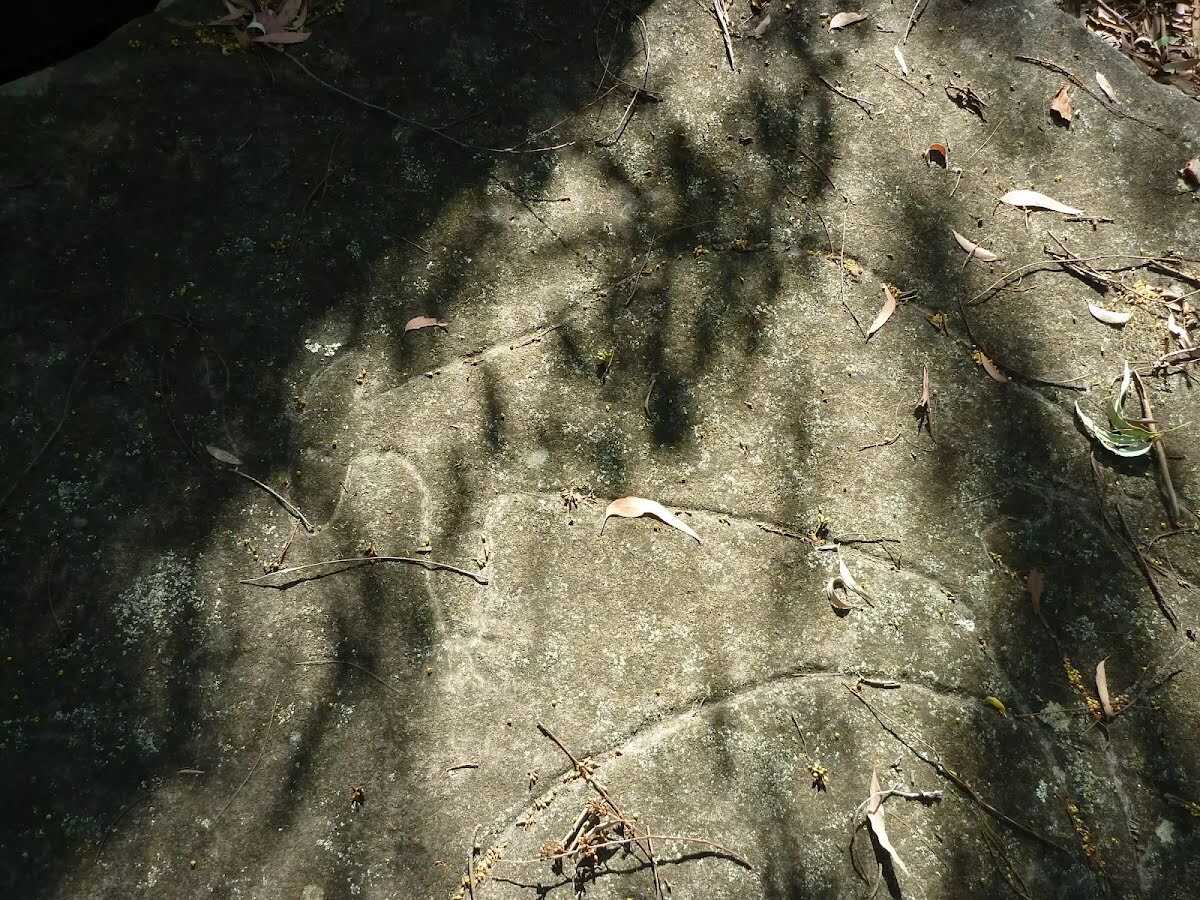
After another 285 m find the "Blackfellow Head Engravings" (50 m on your right).
After another 75 m come to the viewpoint (50 m on your right).
After another 175 m cross the ford.
|
|
|
From the The Great North Walk veer left, to head along The Great North Walk.
After another 180 m pass the sign (on your left).
|
|
|
At the intersection of Blue Gum Walk & The Great North Walk by following the "Fishponds" sign continue straight, to head along Blue Gum Walk.
After another 230 m head down the 22 stone steps (about 10 m long)
After another 230 m head down the stone steps (about 9 m long)
After another 50 m head down the rock steps (about 10 m long)
After another 35 m pass the cave (on your right).
After another 25 m cross the ford. This is flood prone; never cross flooded waterways.
At the intersection of Blue Gum Walk & Waitara Creek continue straight, to head along Blue Gum Walk.
After another 40 m head down the rock steps (about 7 m long)
After another 285 m cross the bridge (about 3 m long)
Then head up the 13 earthen steps (about 7 m long)
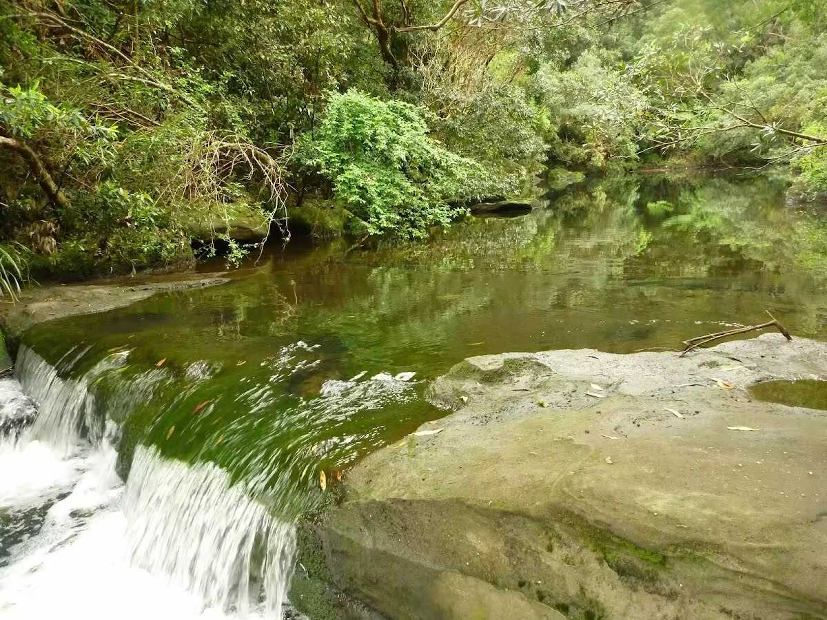
After another 30 m come to the "Fishponds Lookout" (on your left).
Then find the "Fishponds" (about 80 m ahead).
|
|
|

At the intersection of Blue Gum Walk & Great North Walk by following the "Rosemead Rd Trackhead" sign turn sharp right, to head along Blue Gum Walk.
Then pass the sign (on your left).
After another 8 m find the "Fishponds Lookout" (on your left).
|
|
|
After another 65 m (at the intersection of Blue Gum Walk & Negotiable) continue straight, to head along Blue Gum Walk.
Then cross the bridge (about 3 m long)
After another 30 m come to the viewpoint (40 m on your right).
After another 115 m head up the steps (about 10 m long)
After another 20 m pass the sign (on your left).
|
|
|
At the intersection of Blue Gum Walk & The Great North Walk by following the "Hornsby Station" sign continue straight, to head along Blue Gum Walk.
Then head up the 22 surface|compacted steps (about 30 m long)
|
|
|
After another 5 m (at the intersection of Rosemead Firetrail & Blue Gum Walk) veer left, to head along Rosemead Firetrail (a vehicle track).
|
|
|
After another 400 m (from the Rosemead Firetrail) continue straight (a walking track).
|
|
|
After another 135 m turn right.
After another 215 m cross the ford.
From the Old Mans Creek continue straight.
After another 160 m pass the picnic table (10 m on your left).
Then pass the water tap (40 m on your right).
After another 8 m pass the BBQ (15 m on your left).
Then find the "Berowra Valley Bushland Park" (40 m on your right).
After another 15 m pass the shelter (10 m on your left).
From the Hornsby Heritage Steps continue straight, to head along Hornsby Heritage Steps.
After another 10 m head up the 139 stone steps (about 90 m long)
|
|
|
After another 115 m (from the Hornsby Heritage Steps) continue straight, to head along Hornsby Heritage Steps.
Then head up the 147 stone steps (about 85 m long)
|
|
|
After another 10 m (at the intersection of The Great North Walk & Quarry Road Hornsby Firetrail) continue straight, to head along The Great North Walk.
|
|
|
After another 195 m (at the intersection of Quarry Road & The Great North Walk) veer right, to head along Quarry Road (a vehicle track).
|
|
|
After another 7 m (at the intersection of Quarry Road & Hornsby Mountain Bike Trail - Difficult) continue straight, to head along Quarry Road.
After another 5 m pass the sign (5 m on your left).
After another 85 m (at the intersection of Quarry Road & Hornsby Mountain Bike Trail - Intermediate) continue straight, to head along Quarry Road (a residential road).
|
|
|
After another 85 m (at the intersection of Quarry Road & Old Mans Valley Firetrail) continue straight, to head along Quarry Road.
After another 60 m (from the Quarry Road) continue straight, to head along Quarry Road.
|
|
|
After another 105 m (from the Quarry Road) veer left (a footpath).
After another 165 m pass the "Hornsby Park" (65 m on your left).
After another 10 m pass the restaurant (on your left).
After another 25 m pass the car park (15 m on your right).
After another 15 m pass the "Asahi Sushi Bar" (about 20 m ahead).
Then pass the "Chaat Corner" (about 30 m ahead).
Then pass the "Brewhaha Cafe" (35 m on your left).
Then pass the "Zi Teresa Pizza and Pasta" (about 35 m ahead).
|
|
|
Turn right.
|
|
|
After another 5 m (from the Dural Street) continue straight.
After another 25 m pass the "Thai Tables" (about 20 m ahead).
|
|
|
Turn left.
After another 20 m pass the "Refinery Espresso" (30 m on your left).
|
|
|
From the Peats Ferry Road turn right, to head along Peats Ferry Road (a road).
|
|
|
After another 60 m (from the Peats Ferry Road) continue straight, to head along Peats Ferry Road.
|
|
|
After another 15 m (from the Peats Ferry Road) turn left (a footpath).
After another 7 m pass the "Hamburgers Fish & Chips Kebabs" (about 5 m ahead).
|
|
|
From the Peats Ferry Road turn right, to head along Peats Ferry Road.
|
|
|
After another 20 m (from the Station Street) turn right.
After another 9 m pass the "Kiss and Ride" (40 m on your left). This car park is wheelchair accessible.
|
|
|
From the Station Street continue straight.
Then pass the "Cenotaph Park" (7 m on your right).
|
|
|
After another 3 m (from the Station Street) continue straight.
After another 9 m pass the shelter (10 m on your left).
Then pass the pay phone (10 m on your left).
|
|
|
After another 2 m continue straight.
Then pass a seat (20 m on your right).
Then pass the park (60 m on your right).
|
|
|
After another 3 m (from the Station Street) continue straight.
After another 9 m pass the shelter (50 m on your right).
|
|
|
Continue straight.
Then pass the shelter (6 m on your left).
Then cross the bridge (about 25 m long)
Then pass the water tap (10 m on your right).
About 70 m past the end is a emergency call device.
About 50 m past the end is a pay phone.
About 70 m past the end is a emergency call device.
About 20 m past the end is a toilet. This toilet is wheelchair accessible.
About 25 m past the end is a car park.
|
|
|

The end.
|