


| Start | (-33.1427524,151.2562505) |
| Mode | Car (There is free parking available.) |
| Directions | From Pacific Motorway, M1, Somersby.
|
| Finish | From the Basin Forest Road (-33.1041609,151.230605) |
| Mode (end) | Car Shuttle Car (There is free parking available.) |
| Turn map | Directions & comments |
|---|---|
 |
|
 |
|
 |
|
 |
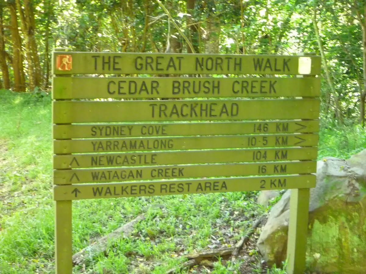
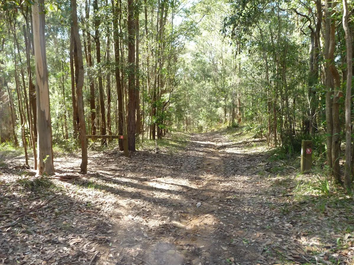
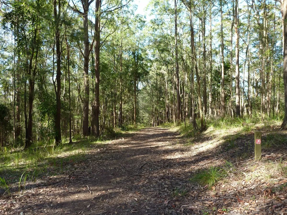
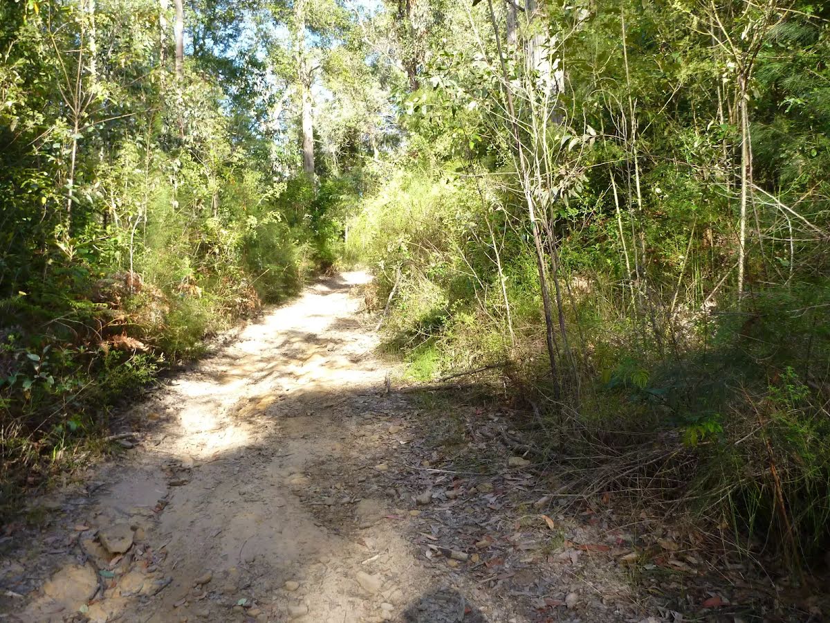
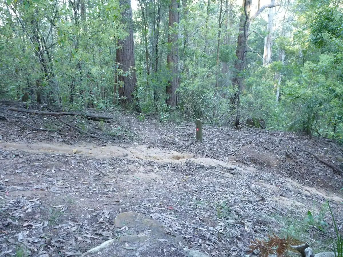
After another 2.9 km (from the Walkers Ridge Road) continue straight, to head along Walkers Ridge Road (a highway|tertiary).
|
 |
|
 |
|
 |
|
 |
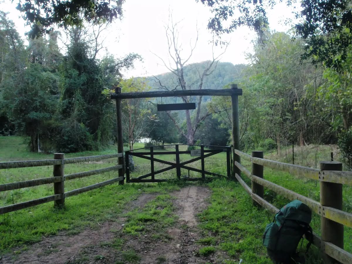
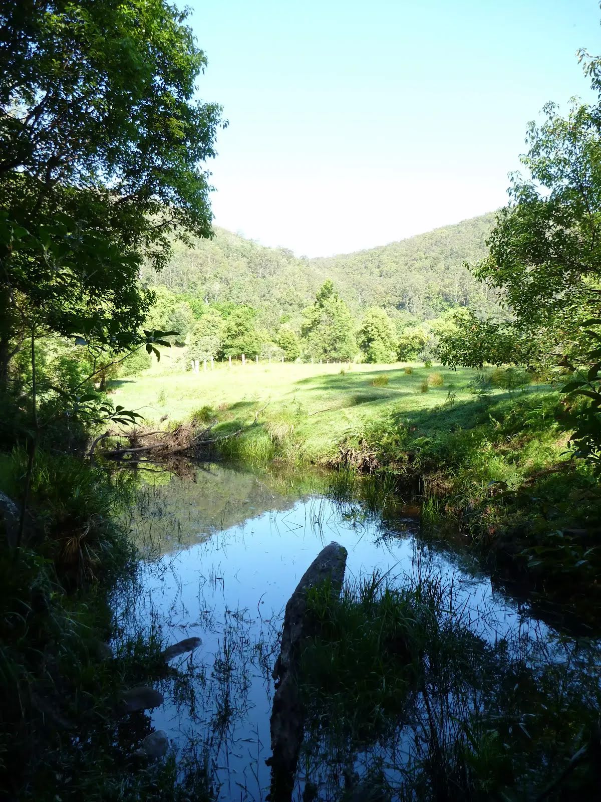
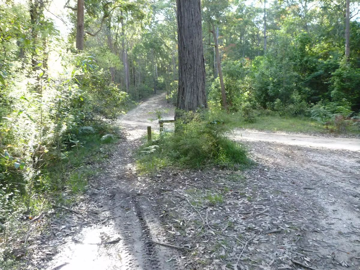
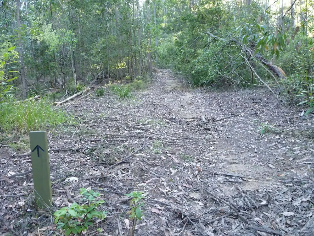
The starting point of an optional sidetrip. This little side trip takes you to the foreshore of Wollombi Brook just up north. To start this optional side trip veer right here. On returning from this side trip turn right when you get back to this intersection. Details below.
|
 |
|
 |
| Turn map | Directions & comments |
|---|---|
 |
|
 |

|
|
Class 4/6 Hard track |
|---|---|
| Length | 8.6 km |
| Time | 4 h to 4 h 30 min |
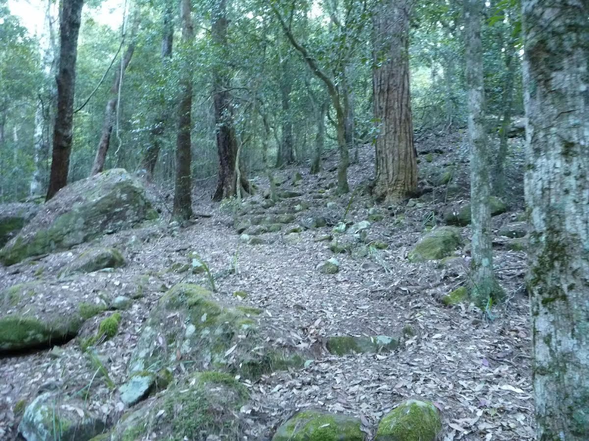
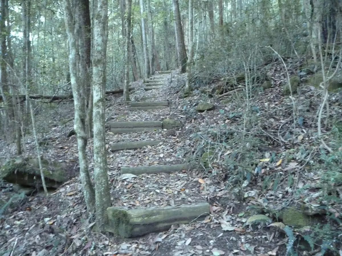
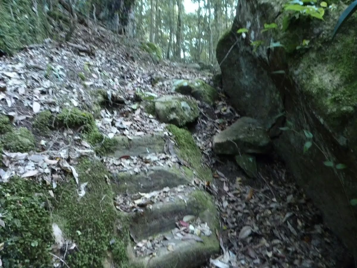
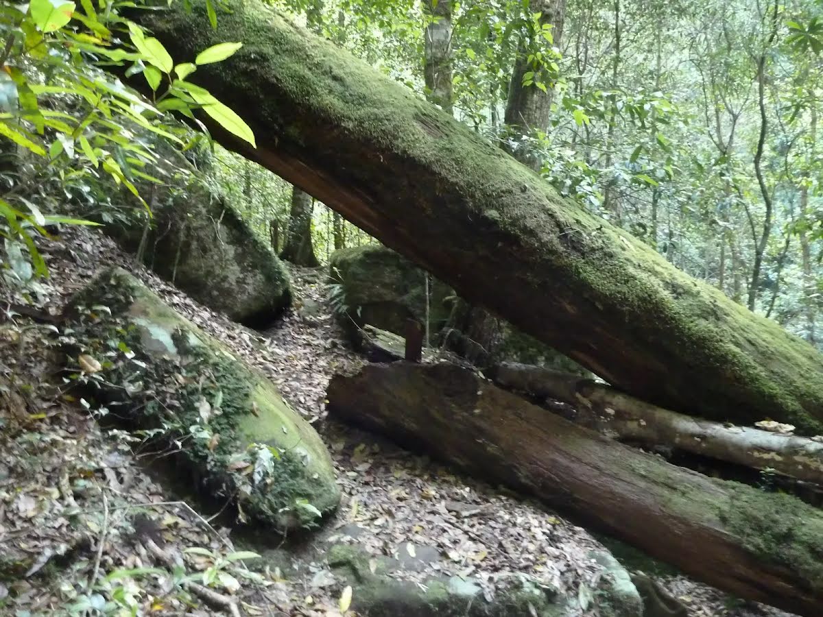
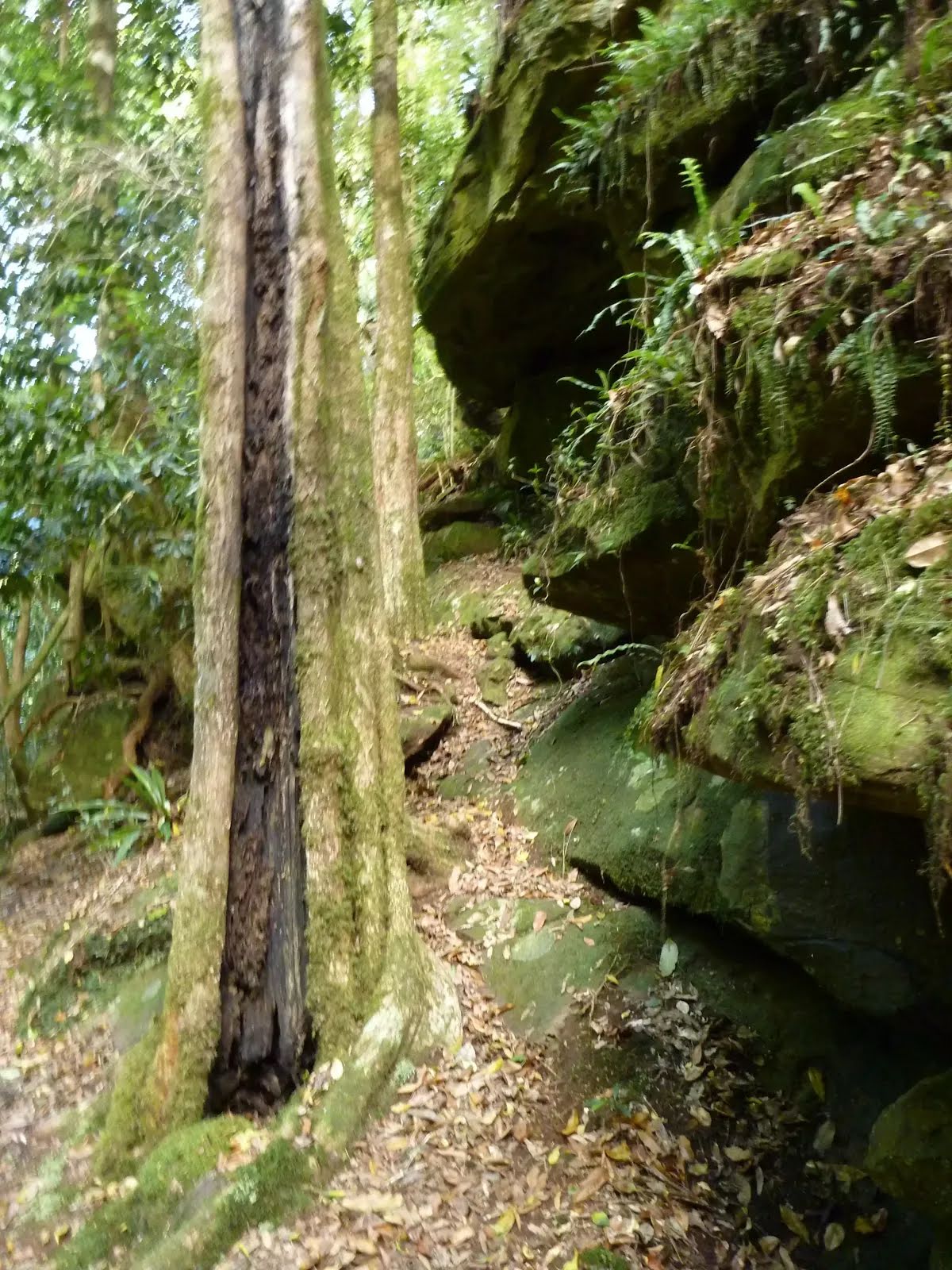
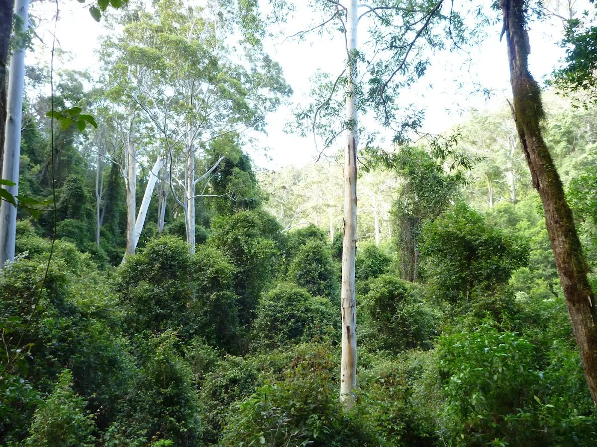
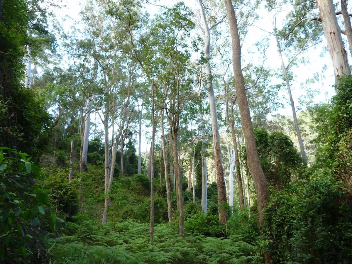
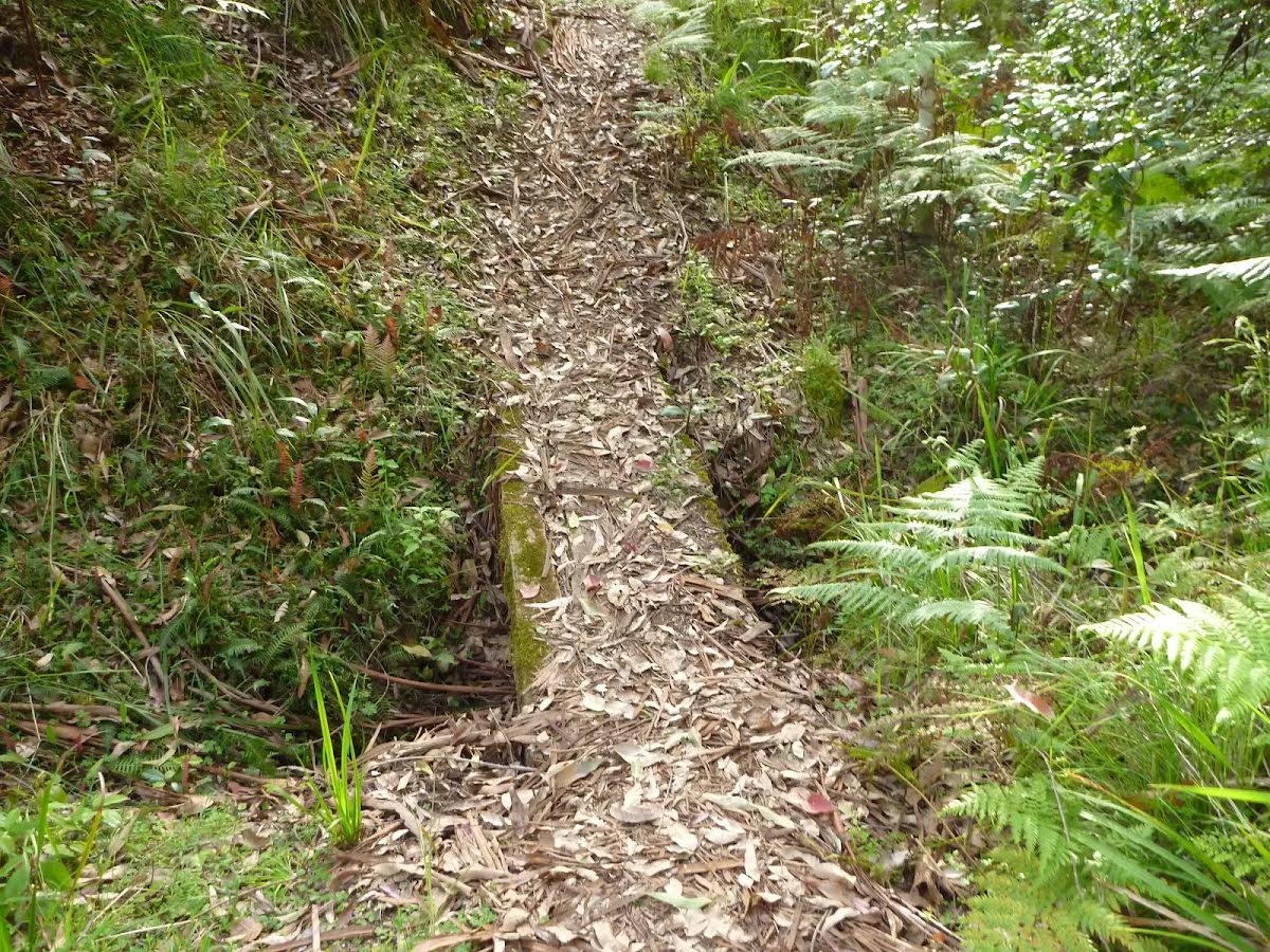
| Quality of track | Formed track, with some branches and other obstacles (3/6) |
| Gradient | Very steep (4/6) |
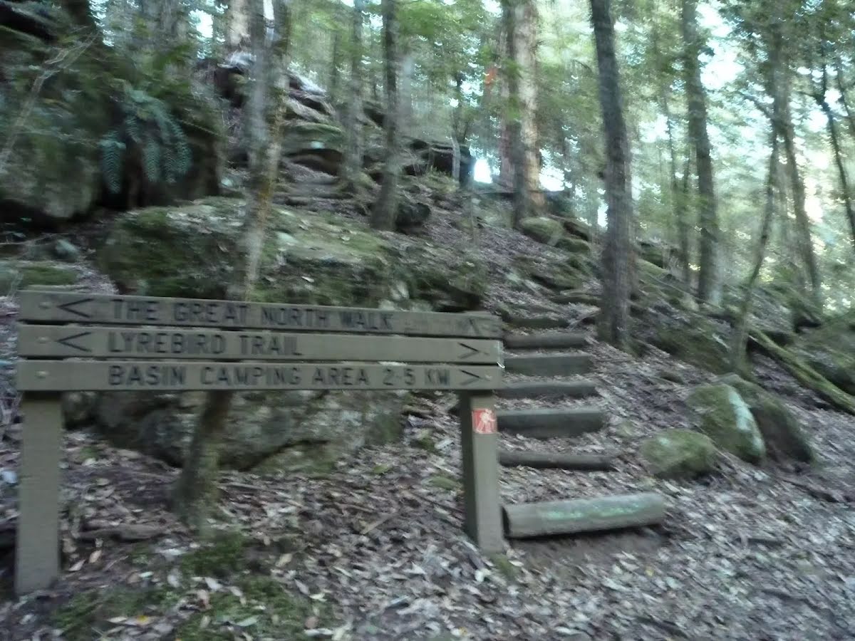
| Signage | Directional signs along the way (3/6) |
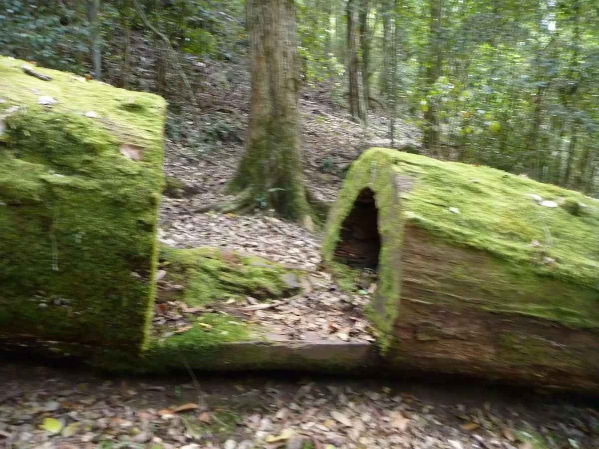
| Infrastructure | Limited facilities (such as cliffs not fenced, significant creeks not bridged) (4/6) |
| Experience Required | Some bushwalking experience recommended (3/6) |
| Weather | Weather generally has little impact on safety (1/6) |
| Item | From Start | Name & link to notes |
|---|---|---|
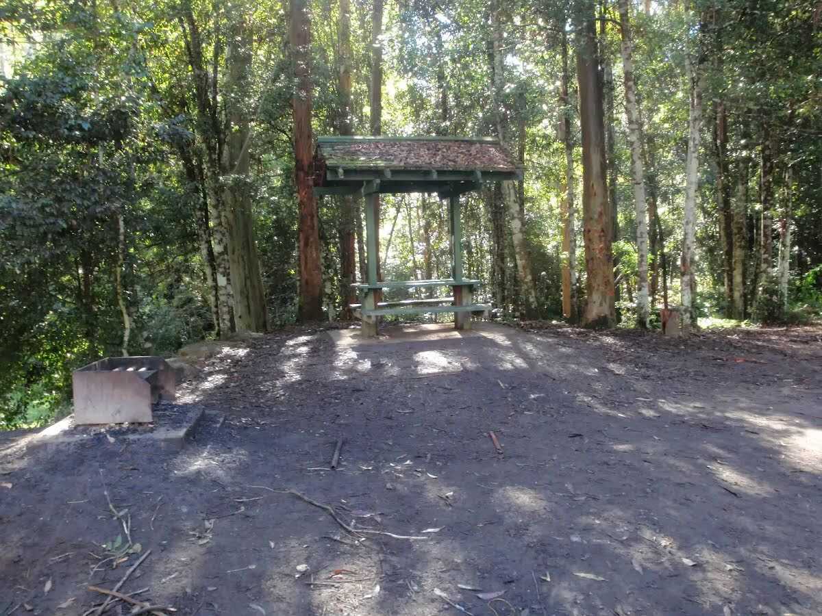
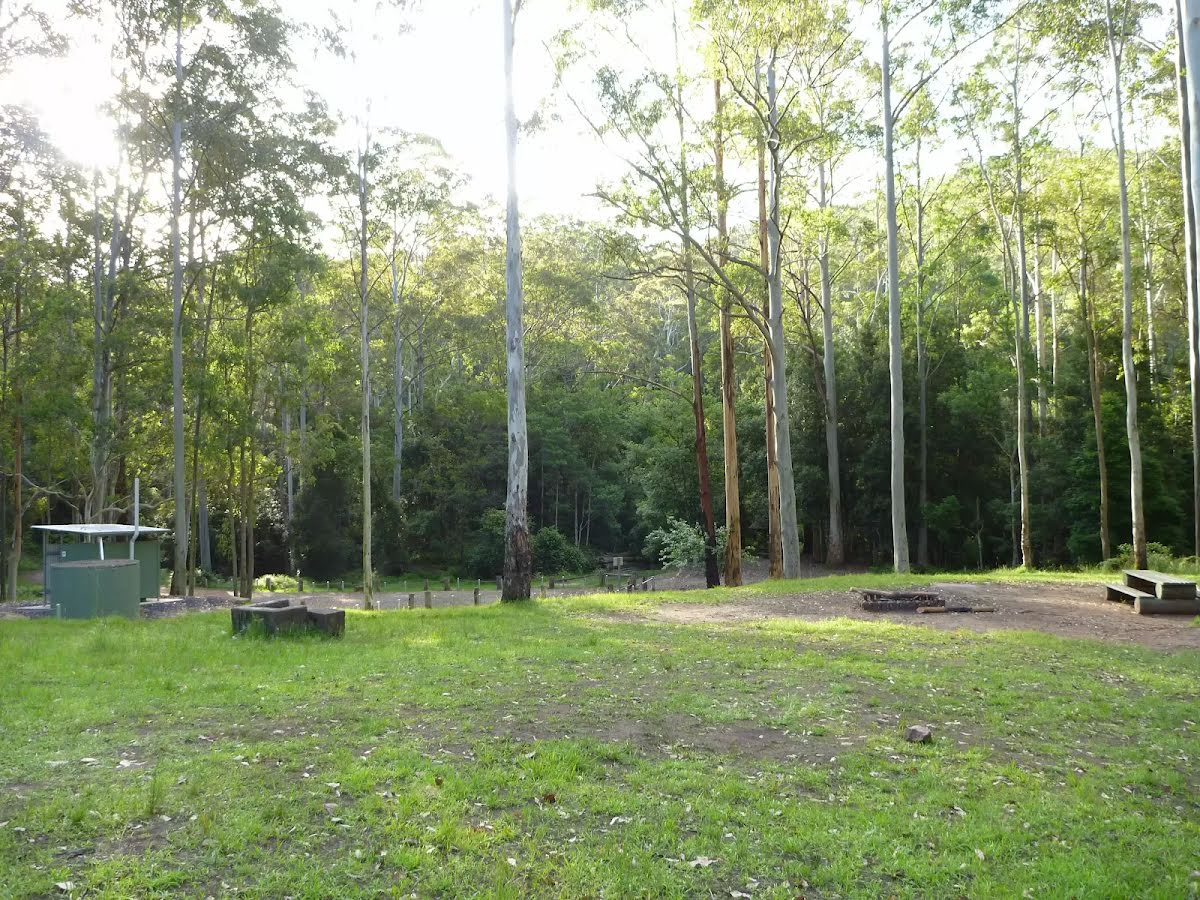
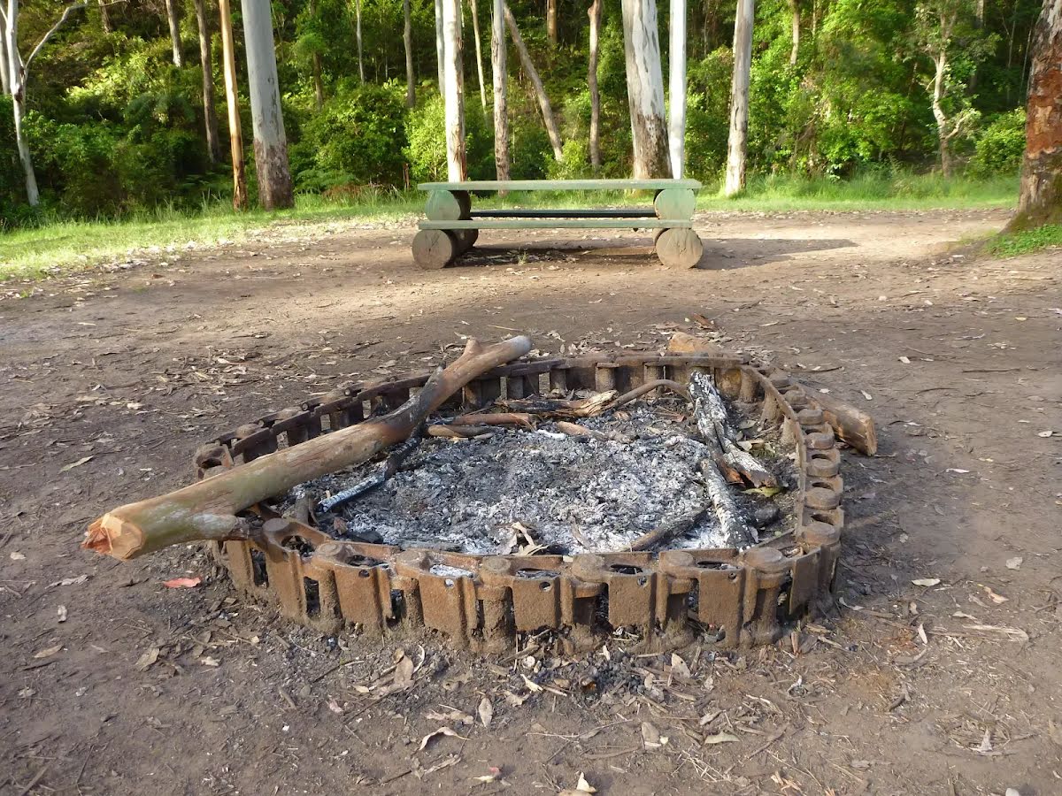
Campsite
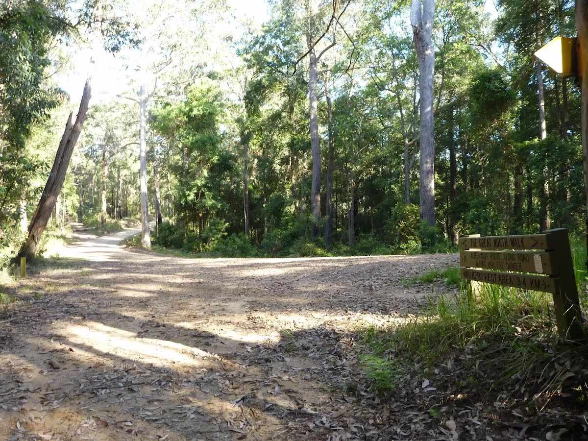
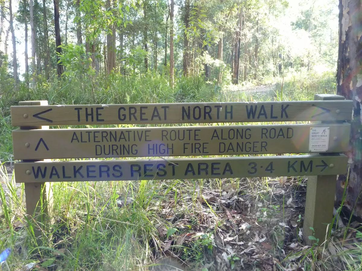
| 1.8 km | Walkers Rest Area |
Campsite
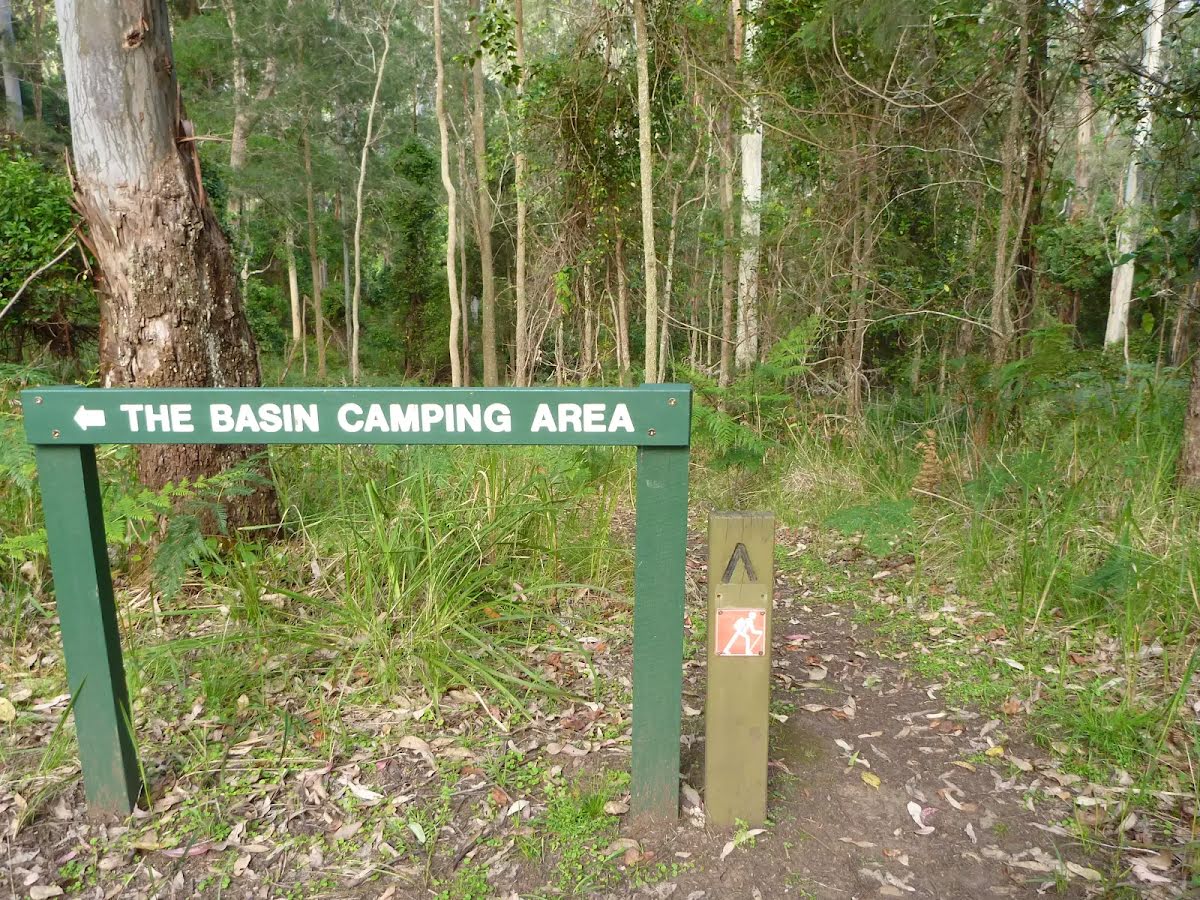
| 8.6 km | Basin Campsite |
Toilet
| 8.6 km | [toilet] |